

Quick report
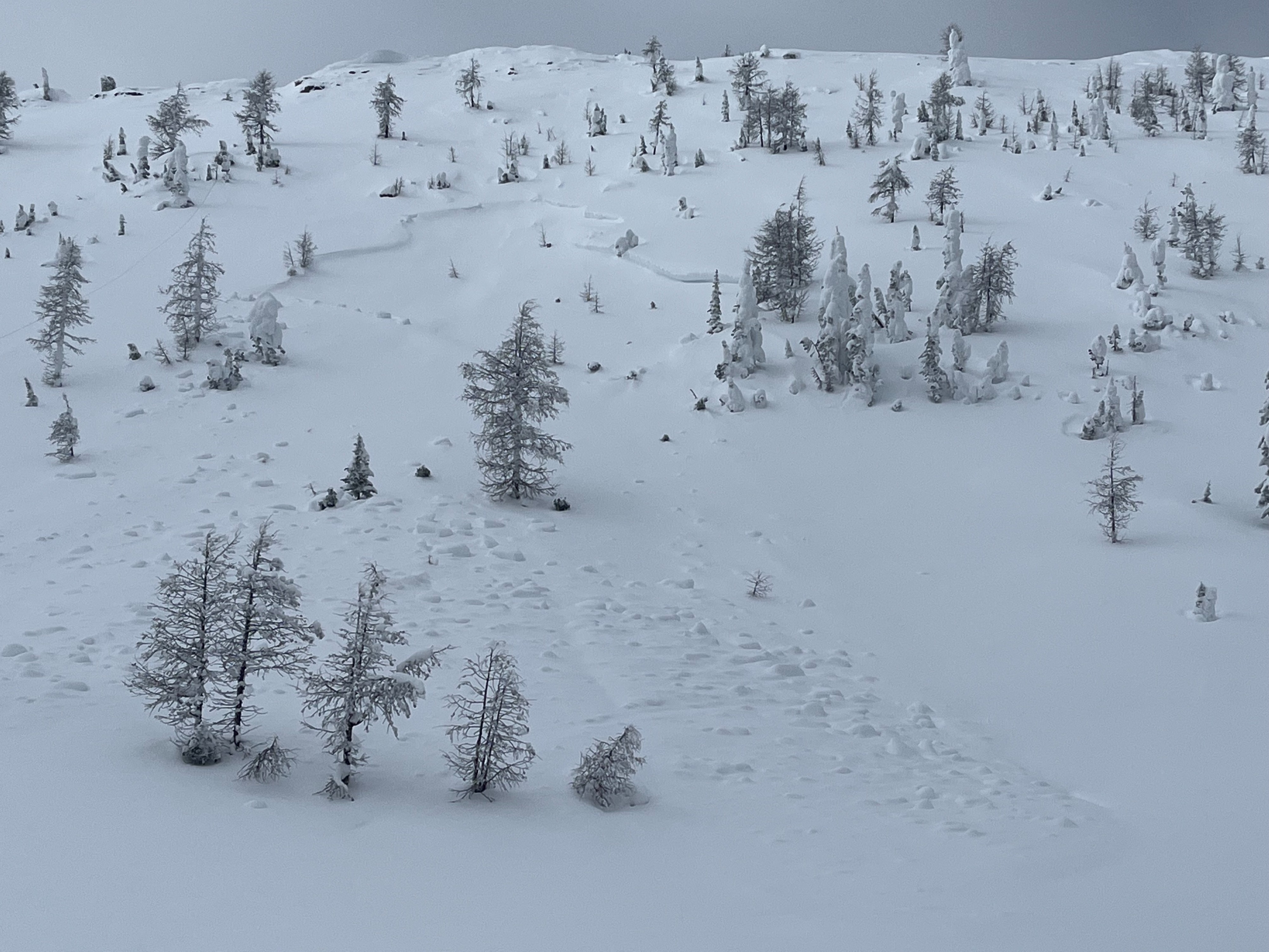
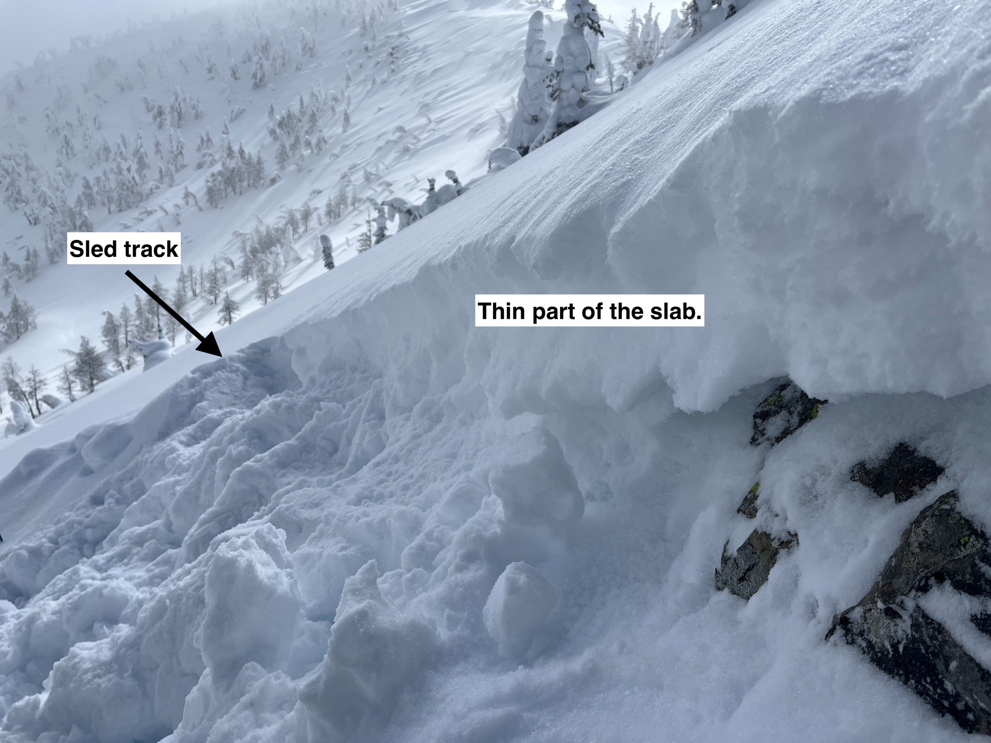
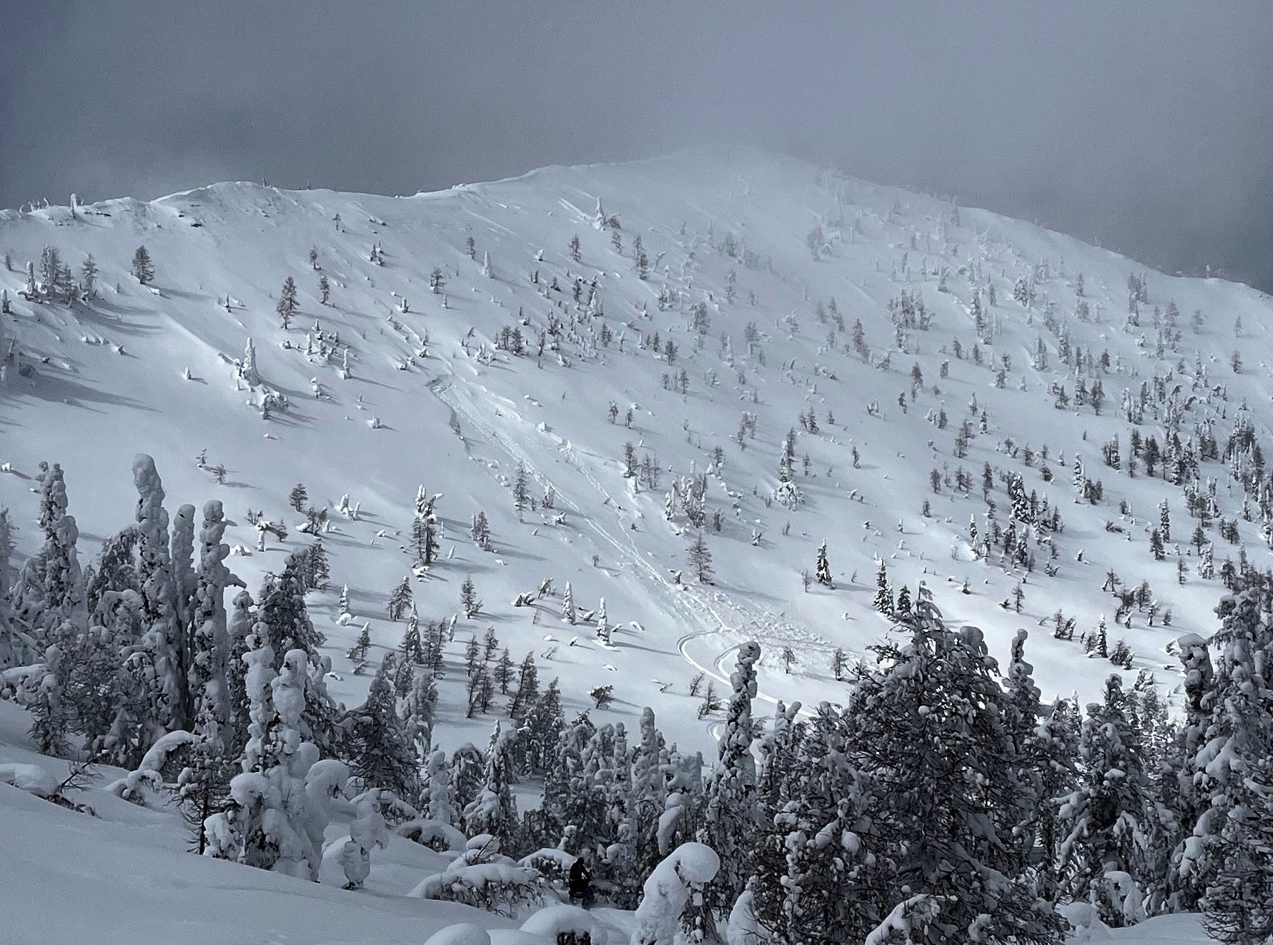
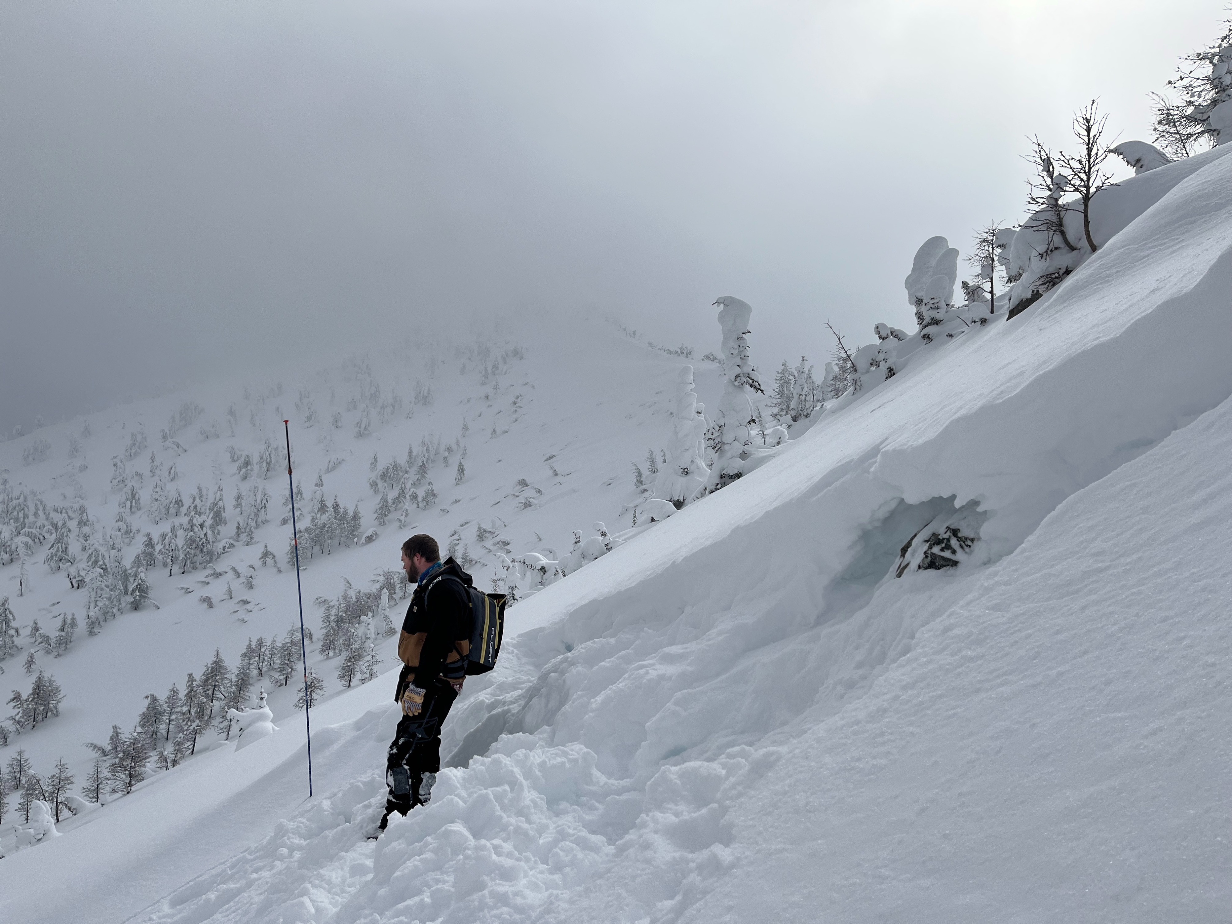
Today we went into the northern Whitefish Range to investigate a crown of a recently triggered avalanche.
- This avalanche failed on an east-facing slope at 7600 feet.
- It failed on a layer of large, weak grains (depth hoar) near the ground. (See more in video or avalanche tab)
- We found 6 inches of new/recent snow. We observed no signs of recent wind transport.
- We experienced mostly cloudy skies until 4 pm, which kept surface snow cold.
Weather
- Cloud Cover
- overcast
- Wind Loading
- none
- Recent Snowfall
- 2 Inches
- Snow Avail For Transport
- moderate amounts
Snowpack
Crown profile at 7500 ft. 120 HS. The basal structure consists of large-grained depth hoar. This weak snow began to facet in November, but continued to weaken throughout the season due to a shallow snowpack structure and strong temperature gradients. A similar snowpack structure has been observed in a number of snowpits in the northern part of the Whitefish Range.
Avalanche
- Size
- D2 R2
- Type
- HS
- Aspect
- E
- Trigger
- AM
- Elevation
- 7600 ft
Original avalanche observation is posted on 3/8/23.