
Quick report
- Cracking
- isolated
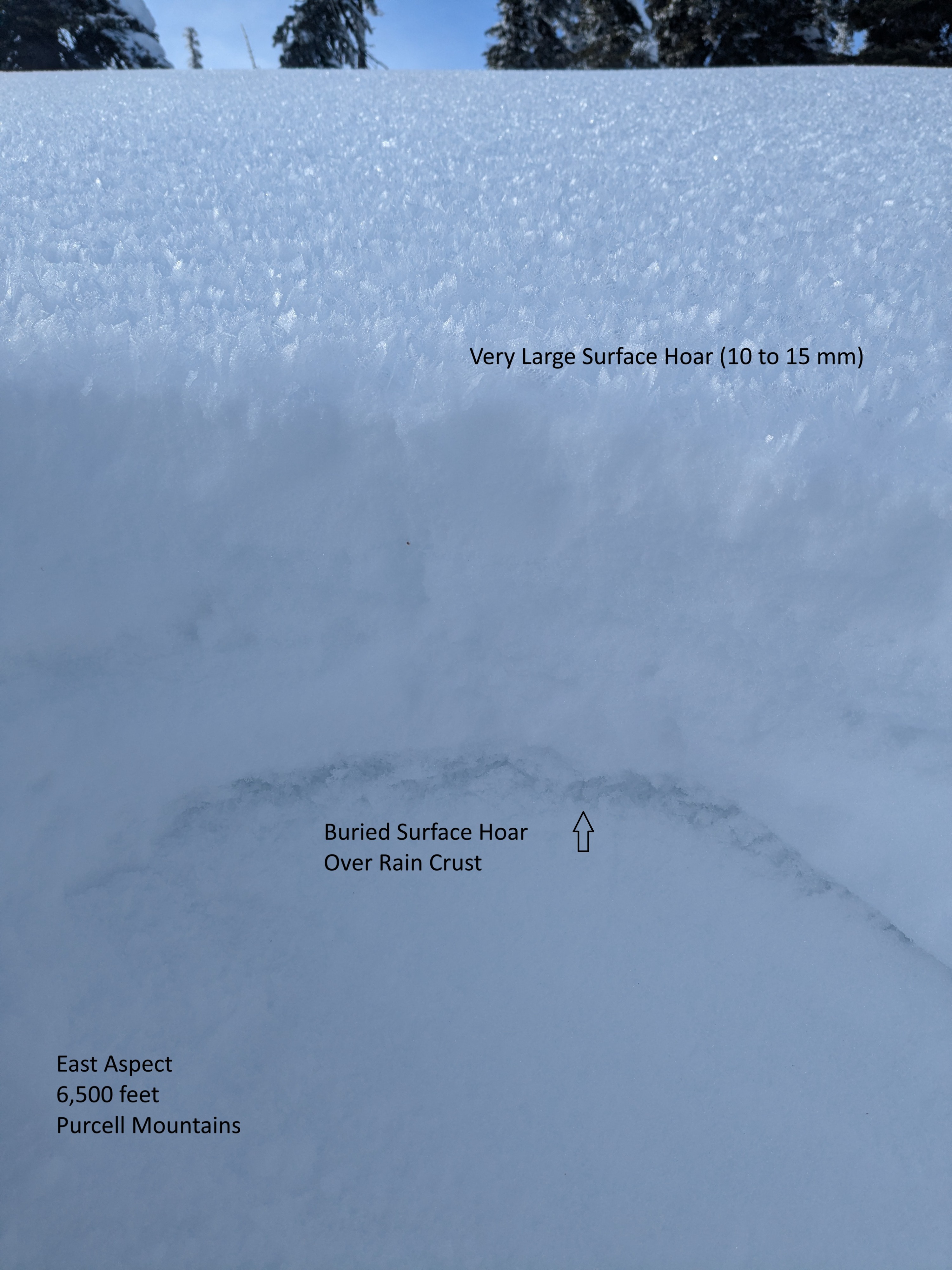
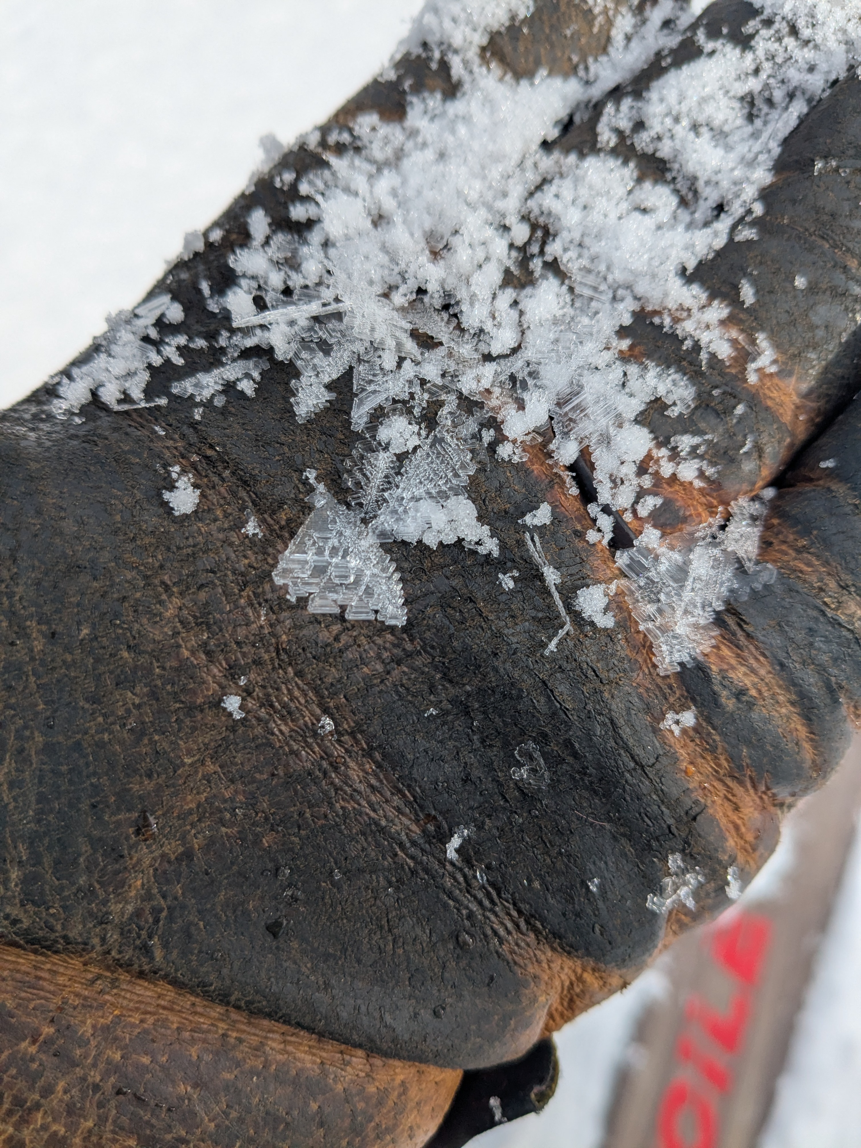
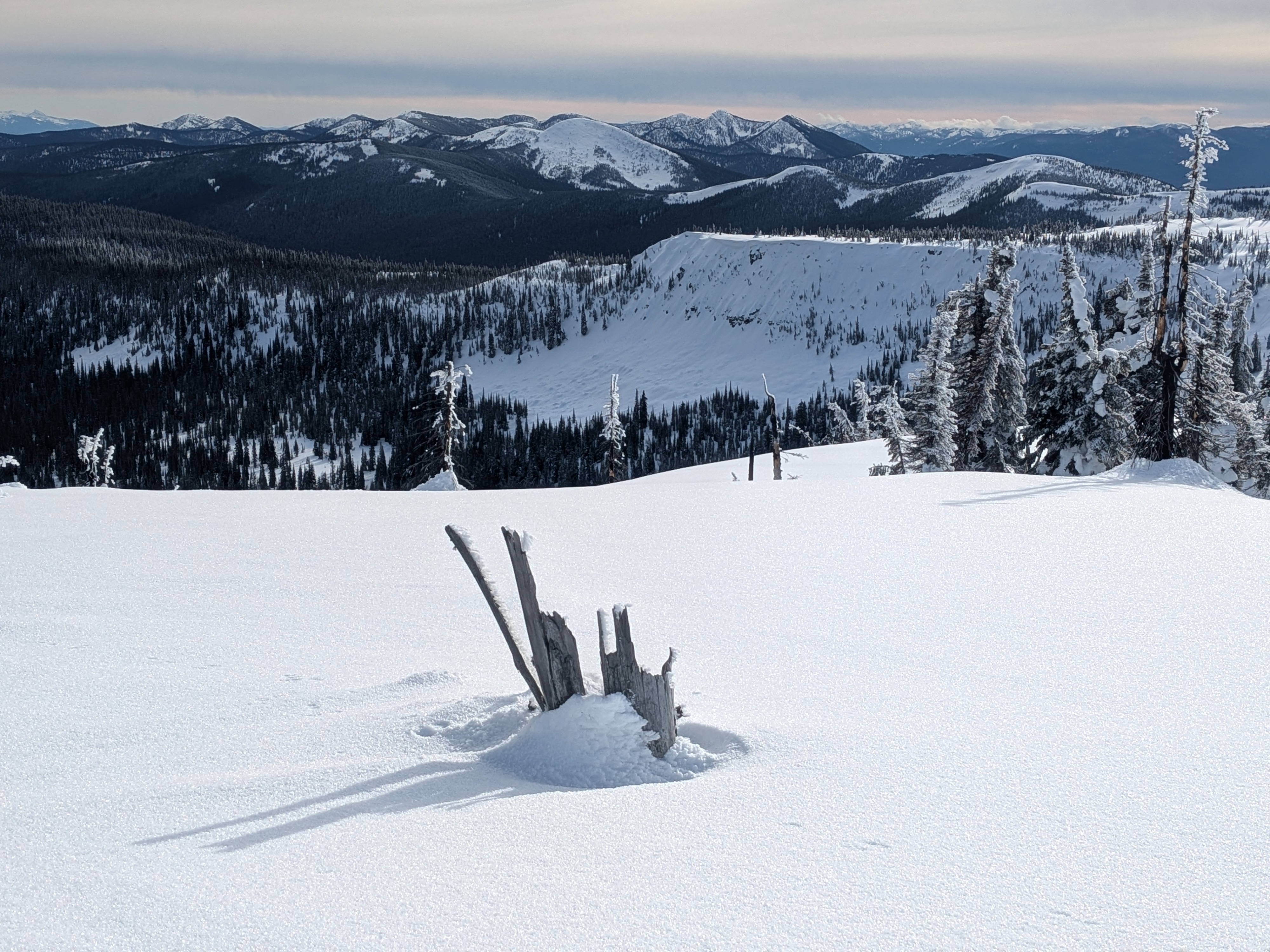
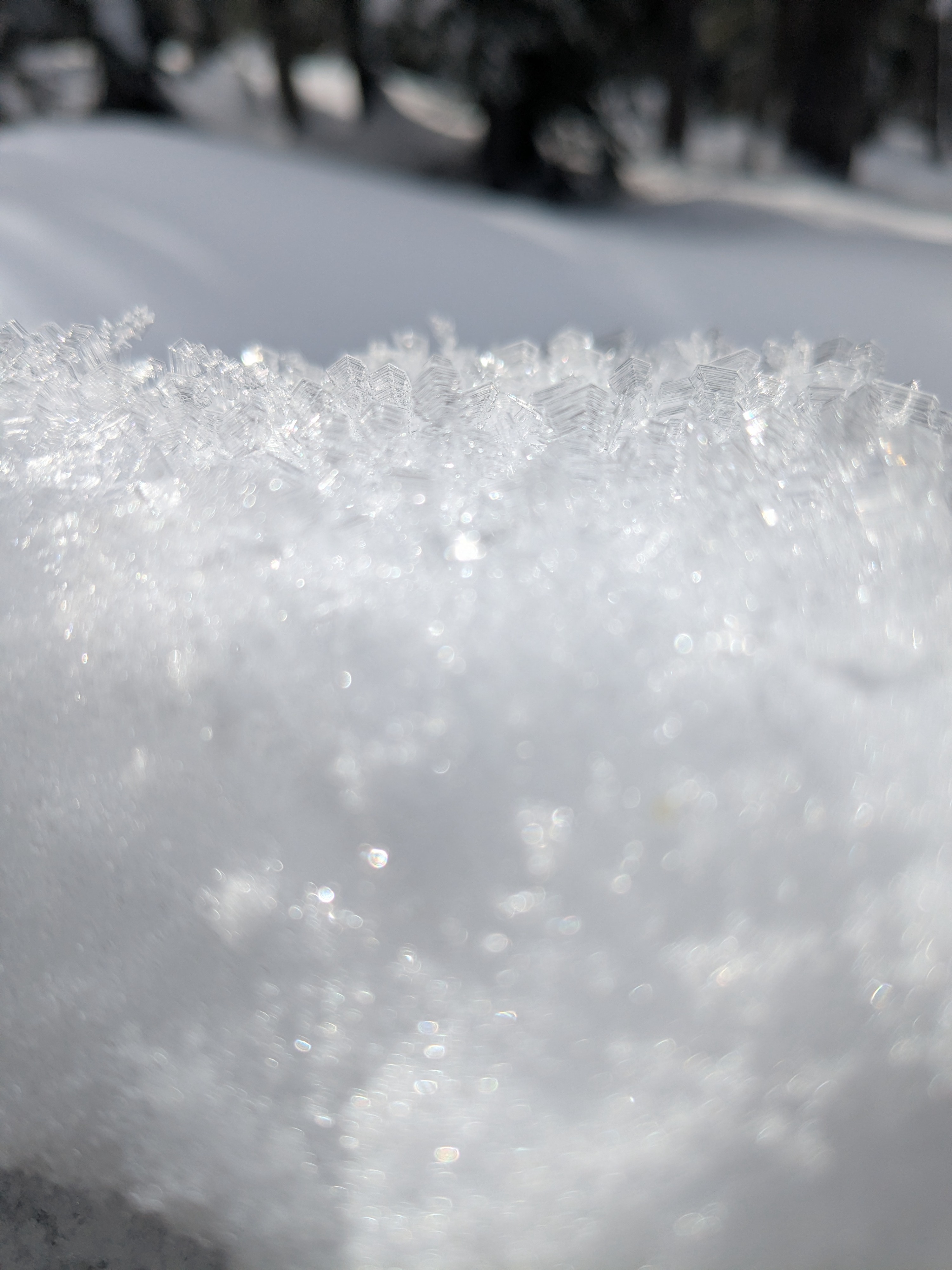
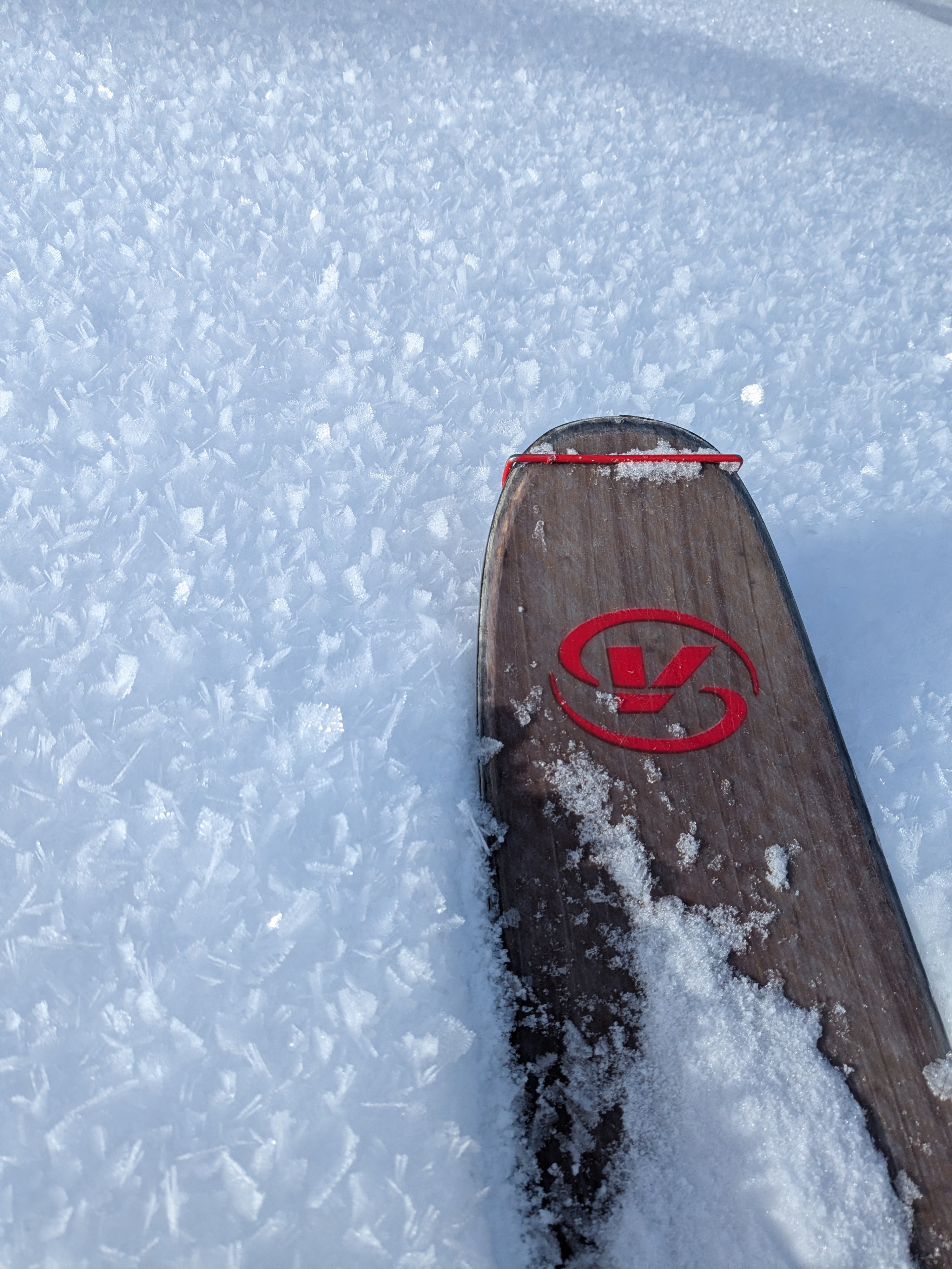
We observed large surface hoar on many surfaces, widespread in all open areas and within forest openings and slightly intermittent distribution within denser forested areas. We observed this surface hoar pattern mainly between 5600 to 6500 feet. At 6500 foot ridgetop we observed surface hoar on all aspects, including south aspects.
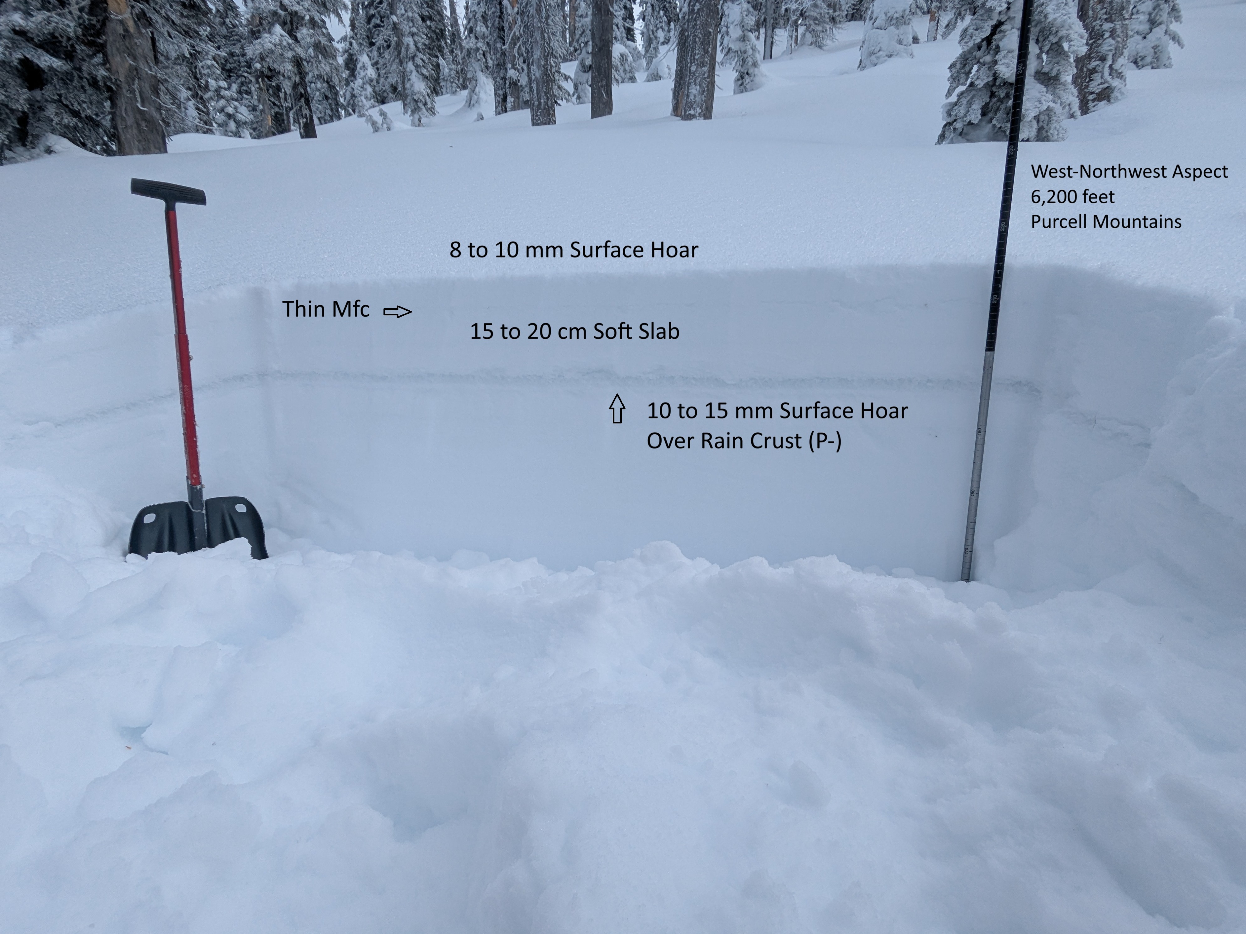
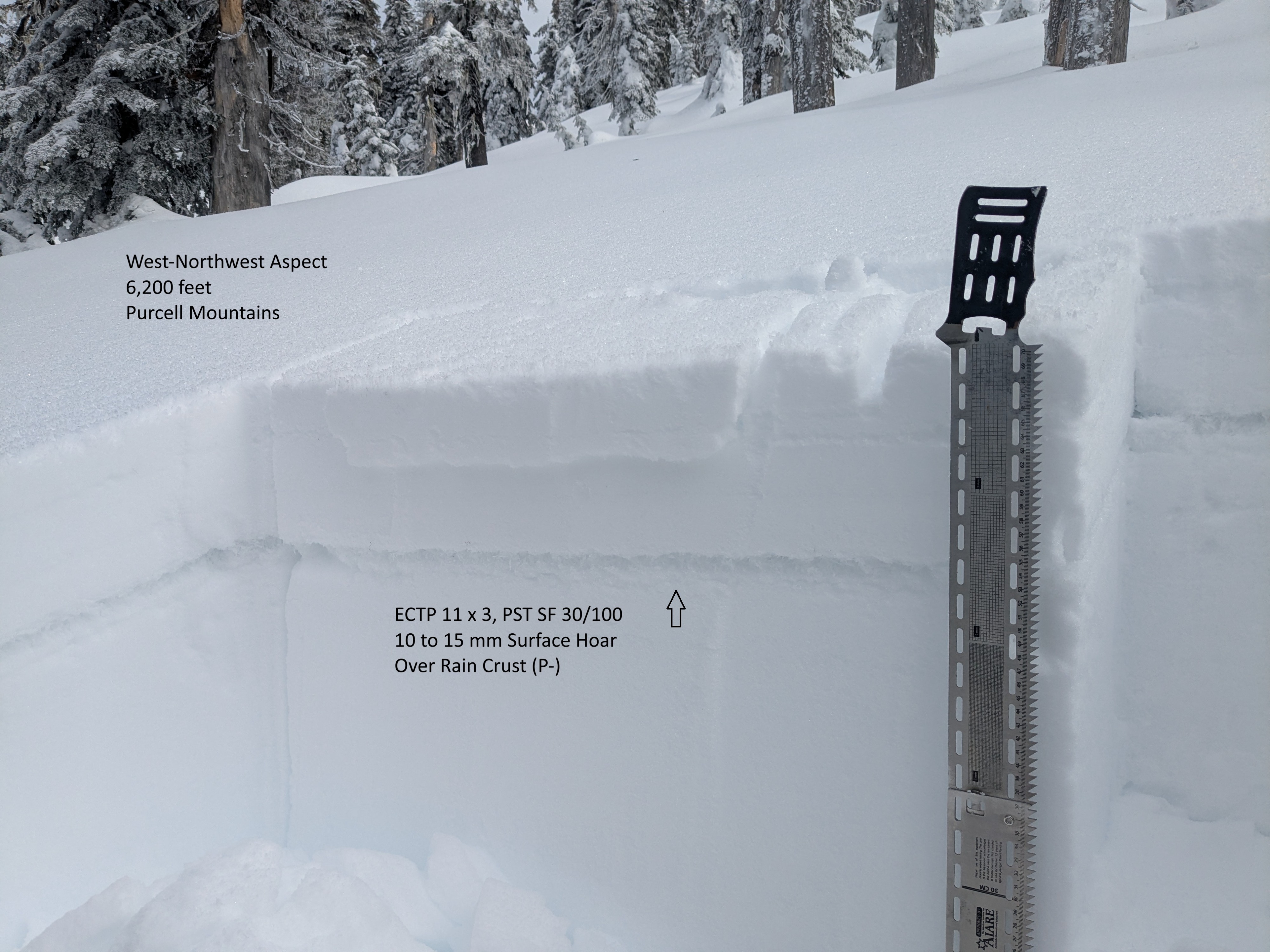
We also observed well preserved surface hoar down 18 cm from the surface (buried on January 28) sitting on a rain crust. These two surface hoar layers - down 18 cm and today's (February 12) snow surface - will be the main weak layers of concern and avalanche danger will increase with the forecasted snowfall and upcoming storm system starting later Friday, February 13.
Cracking confined to along the skin track and around 10 cm below the surface at the interface of a thin melt-freeze crust from last weeks warm-up.Weather
- Cloud Cover
- few
- Wind Loading
- previous
- Snow Avail For Transport
- moderate amounts
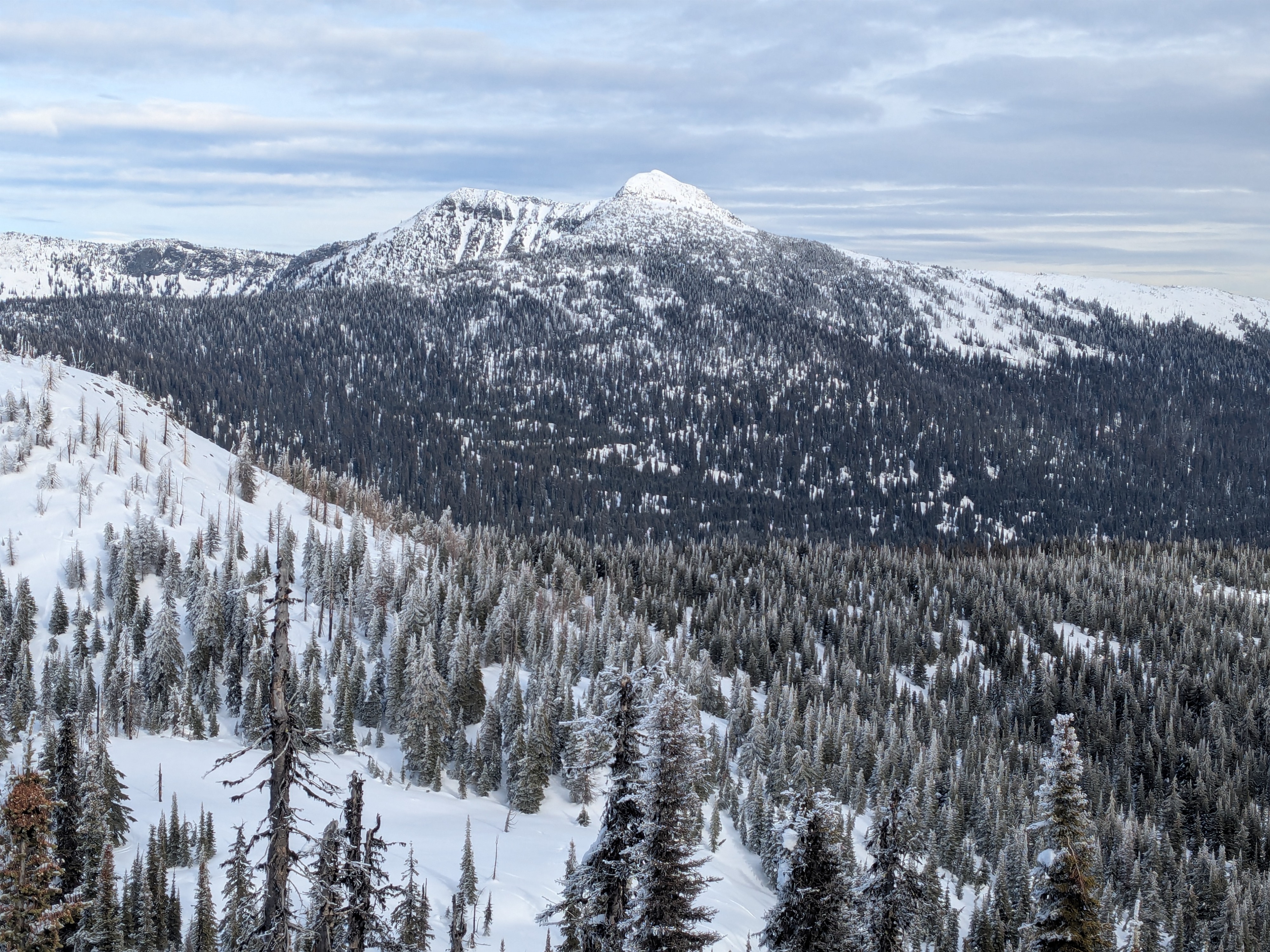
Periodic high clouds and sunshine. Despite the sun, temperatures stayed cool. Winds were light along ridgetops.
Snowpack
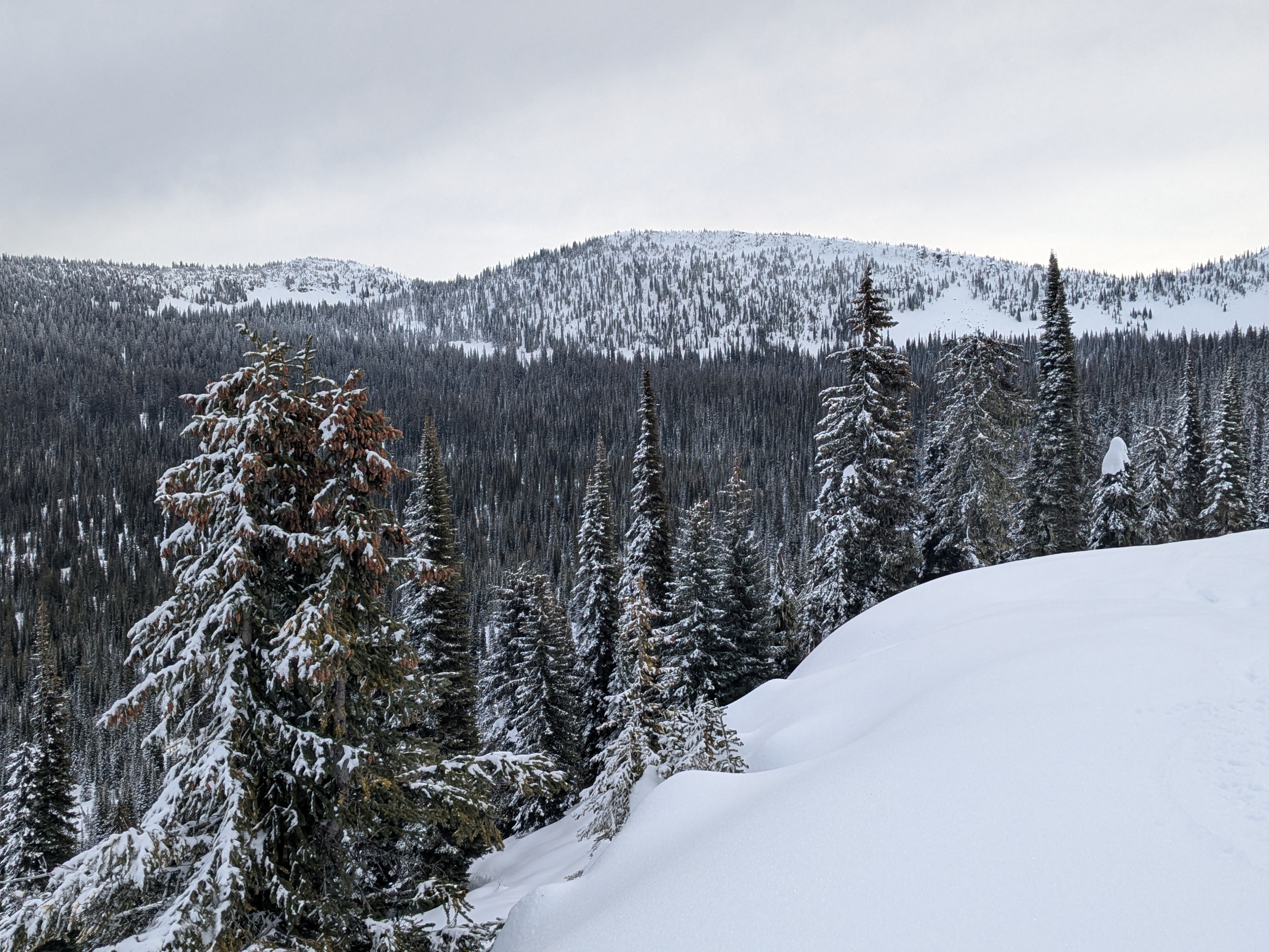
Starting in the Deer Creek drainage, we observed thin but consistent snow coverage starting around 3400 feet. Snowpack coverage slowly increased while gaining elevation. Hard frozen snow surfaces existed until around 5000 feet with a transition at this elevation where the recent snow line was with a couple inches of light snowfall from February 7 to 9.
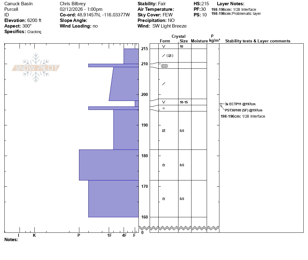
Traveling on skis between elevations 5600 to 6500 foot ridgetop, we observed shallow ski surface penetration (~5cm or less) due to a thin melt freeze crust near the surface covered by about 5 cm of recent snowfall. We observed large (up to 10 - 15mm) surface hoar on surfaces throughout the area. At 6200 feet on a Northwest aspect we observed a snowpack height of 215 cm (~7 feet). At this location, we observed easy shovel shears and two moderate force ECTP test results on buried surface hoar on top of a crust down 18 cm from the surface: two ECTP 11 on 10mm surface hoar (January 28, surface hoar) down 18 cm on (P- hard, 1 cm thick) rain crust (mid-January rain crust/drought layer).
At 6500 feet, near this ridgetop location, all south aspects (all sun exposed slopes) we found a hard, thick supportable melt freeze crust with about 5 cm of soft recent snow and the same large surface hoar on the surface. At around 2pm on south aspects, this surface hoar was still well intact and at this time observed to be not destroyed by sun or wind.
Avalanche
None observed. Many old sluff piles from the steep cliffs above the road on the north side of the pass. These were all size 1 and did not cross the road grade center line.