
Quick report
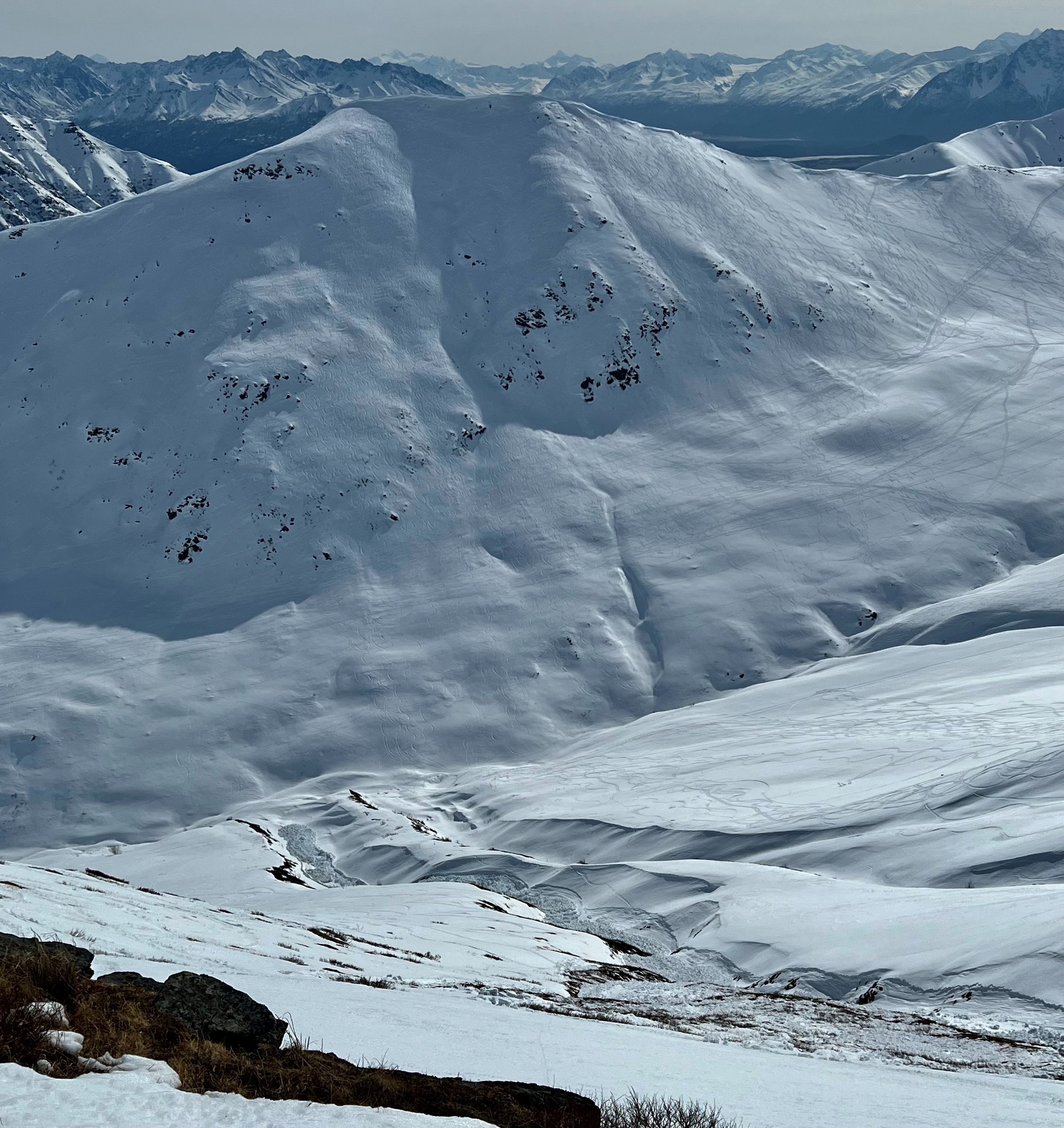
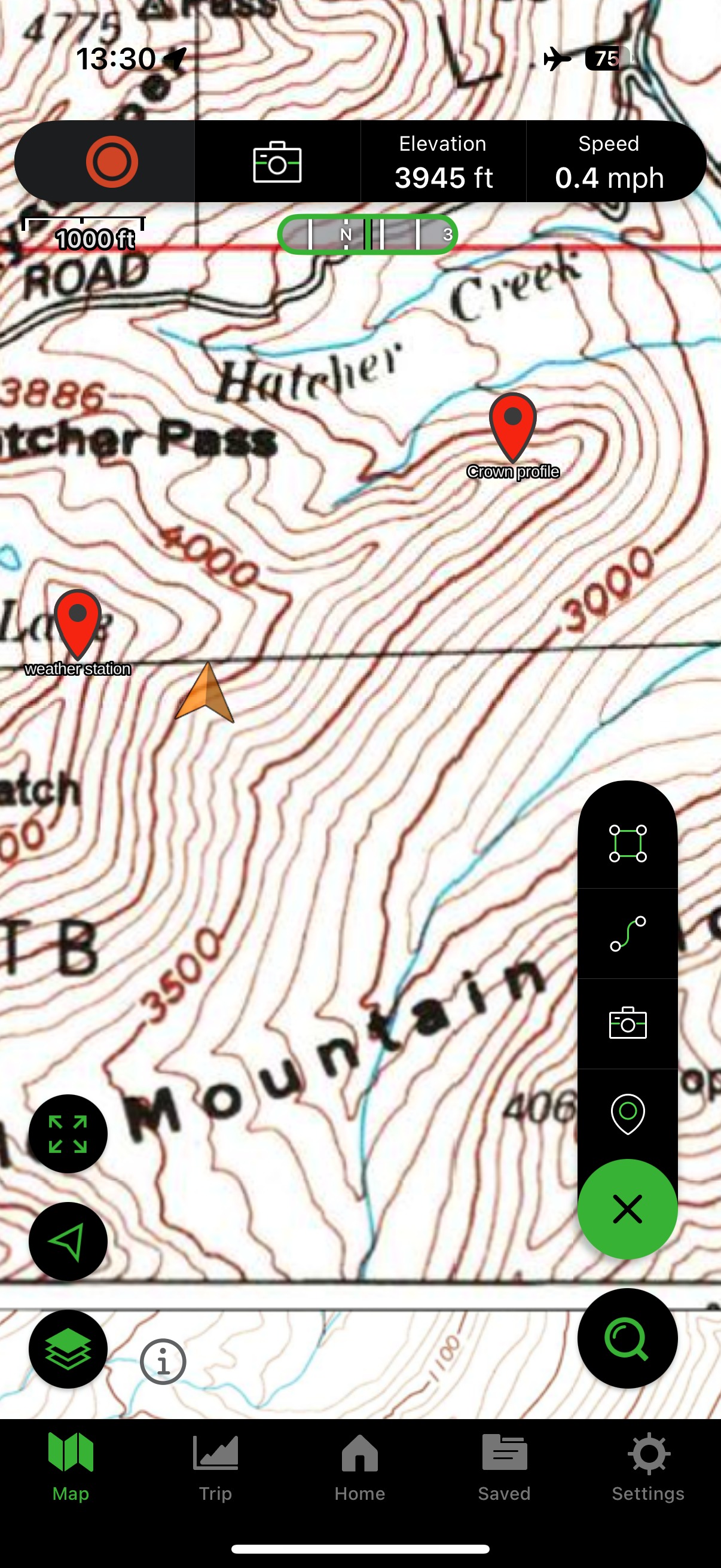
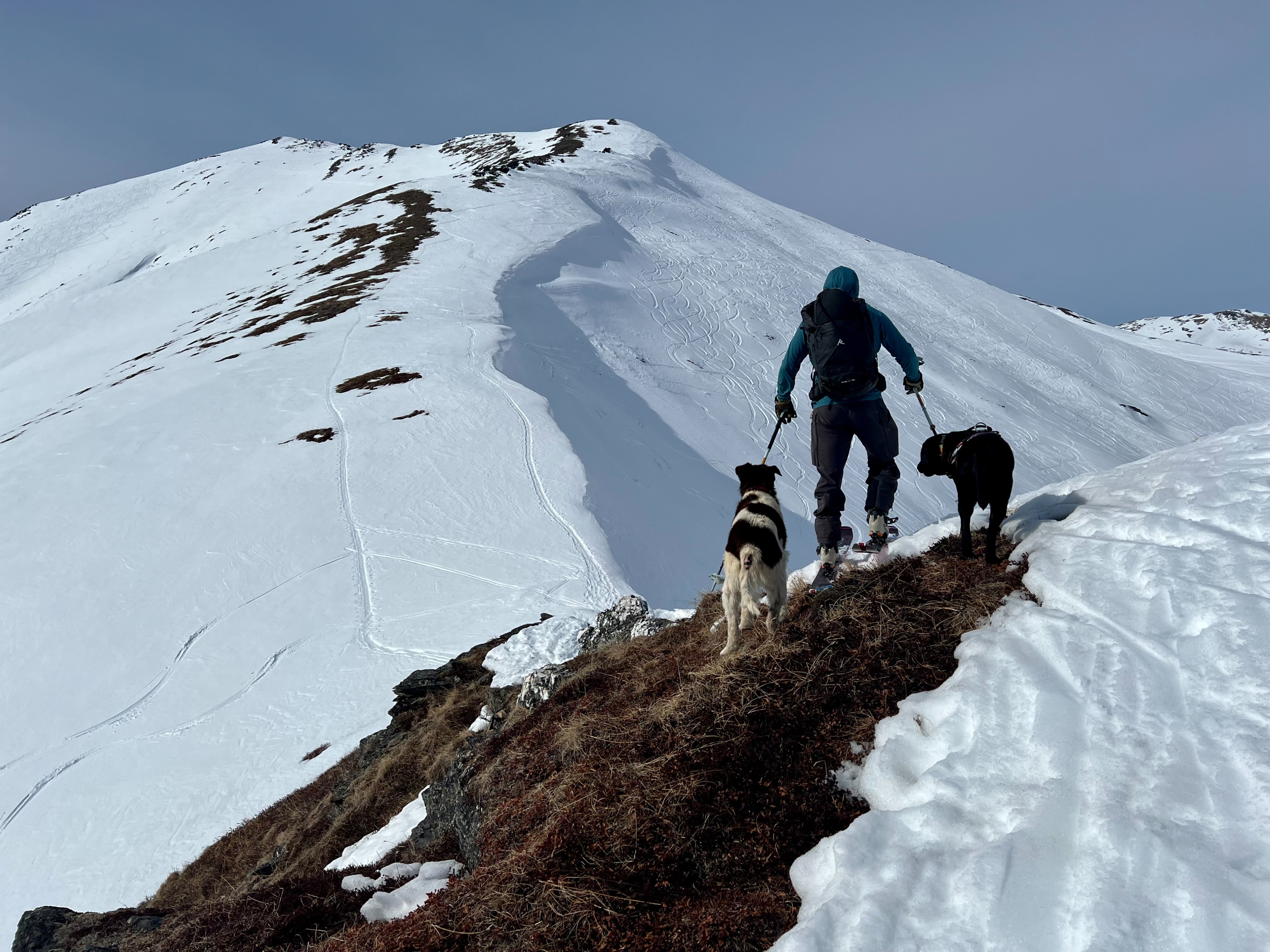
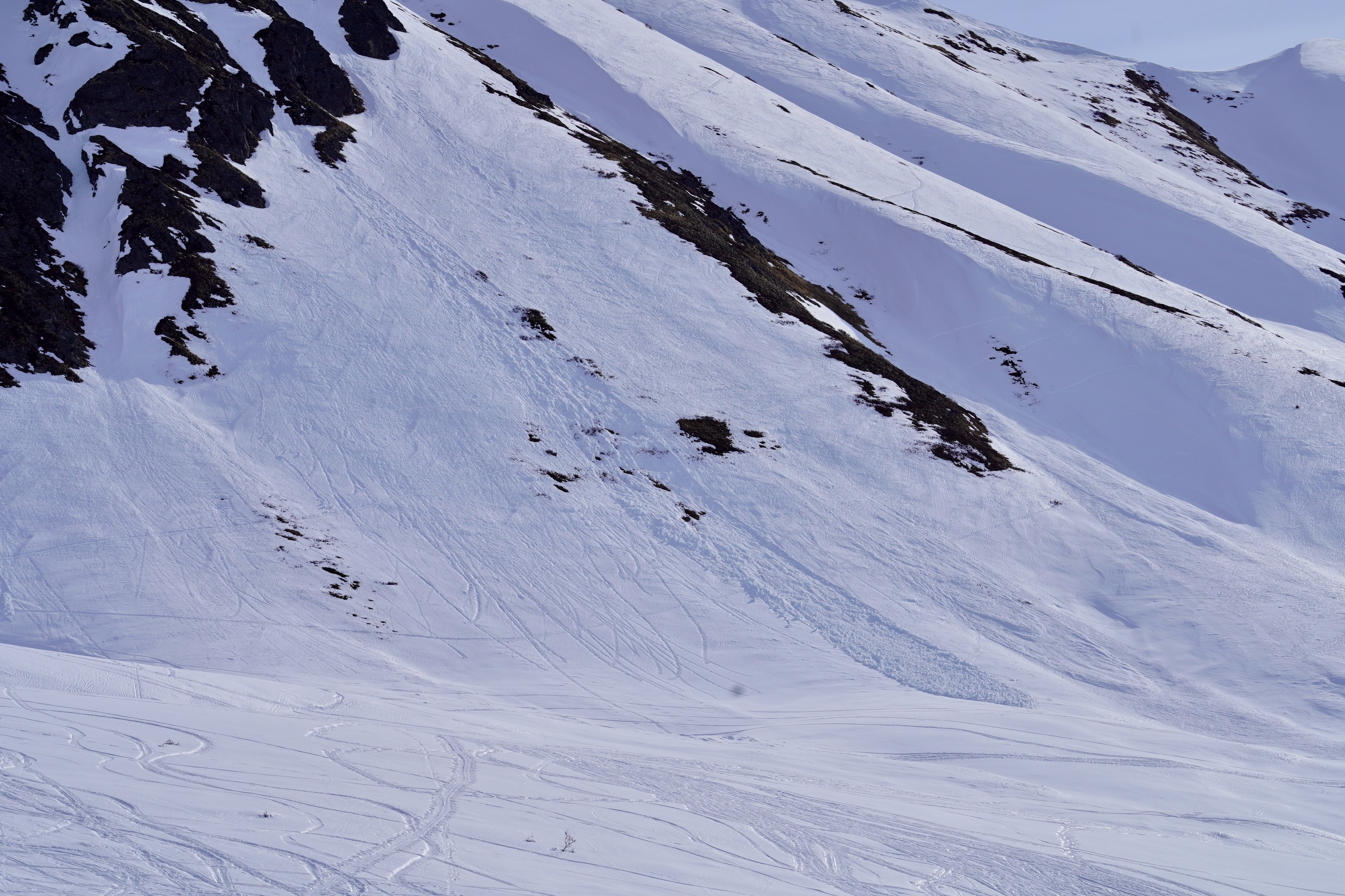
We have arrived at corn season, but it is rapidly diminishing after noon in the day. Our goal today was to do a crown profile on the avalanche on the Sunnyside of Hatch while assessing the deteriorating structure of the snowpack on southerly aspects. We observed, as well as another party today, rapidly warming snow surfaces, especially on slopes 35 deg and steeper on southeast through southwest aspects with moist to wet grains all the way to the ground in some locations, especially shallower locations. The avalanche we observed that occured on 3/29 failed 30-50 cm down or 11-20 inches deep, both within a thick layer of rounding depth hoar and on firm faceted (and rounding) basal crust. The details for the avalanche are as follows:
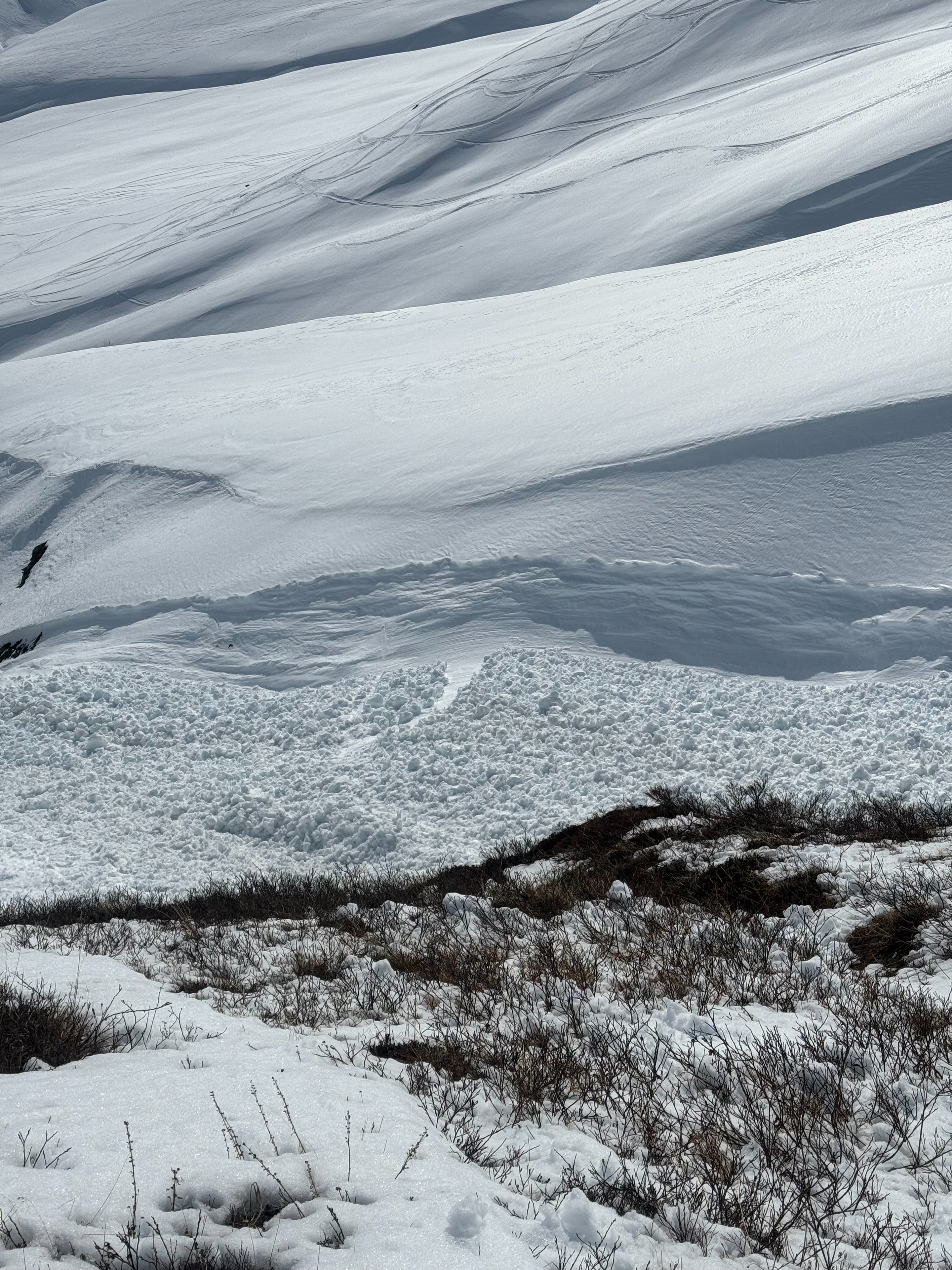
South aspect> crown wrapped SE to SW, 4000', 38 deg slope, HS 90cm, depth of crown 30-50cm
4f-F hard soft slab, Human triggered persistent slab, 100 ft wide X 100 ft long with 1000-1200' vertical run, SS-ASu-D2-O
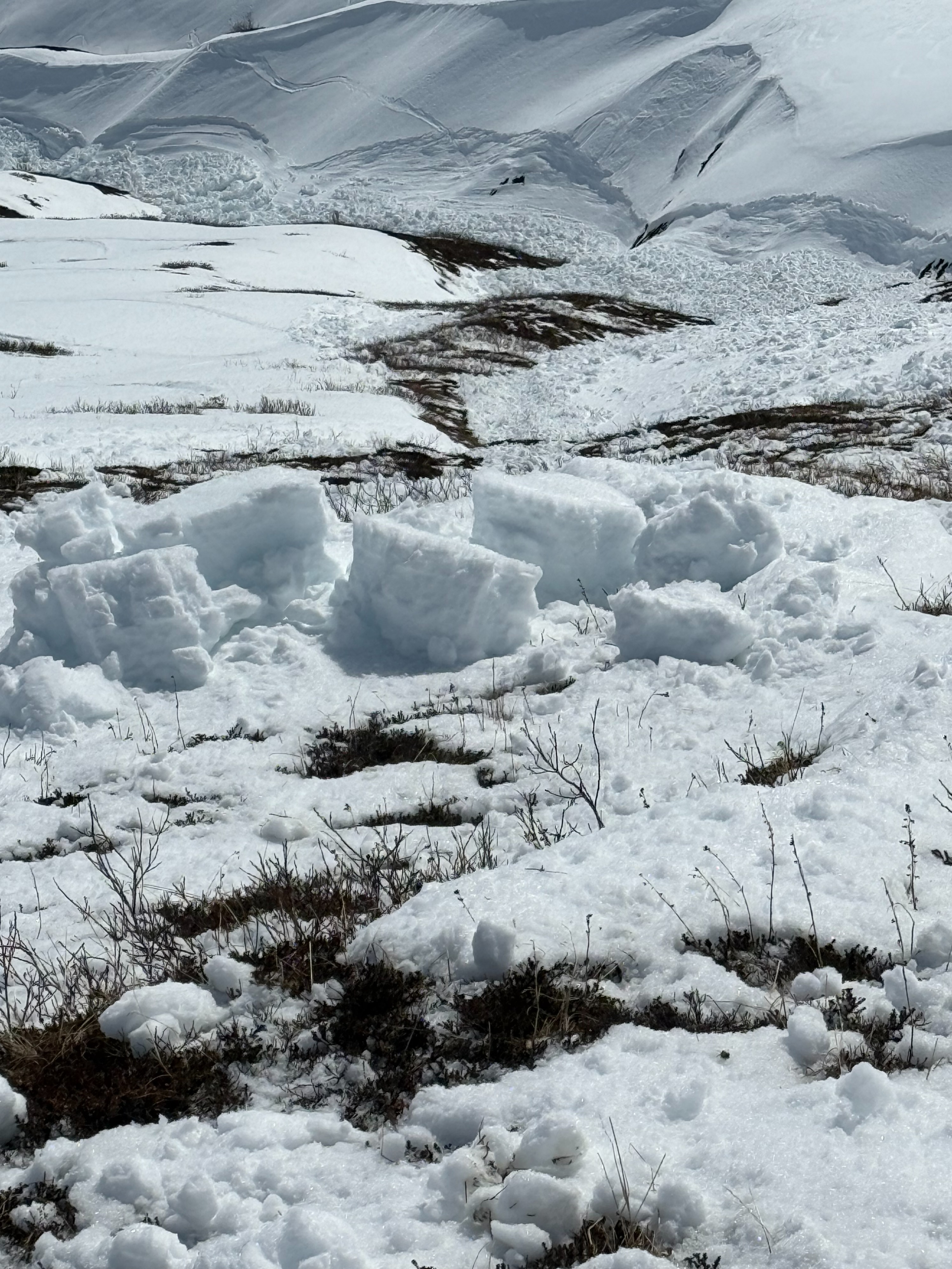
Although the slab was relatively small, the debris entrained quite a bit of moist snow as it travelled down the track, leaving a larger and deeper amount of debris than you would see with dry snow. The avalanche did, however, fail on old weak dry persistent grains.
See photos for more info
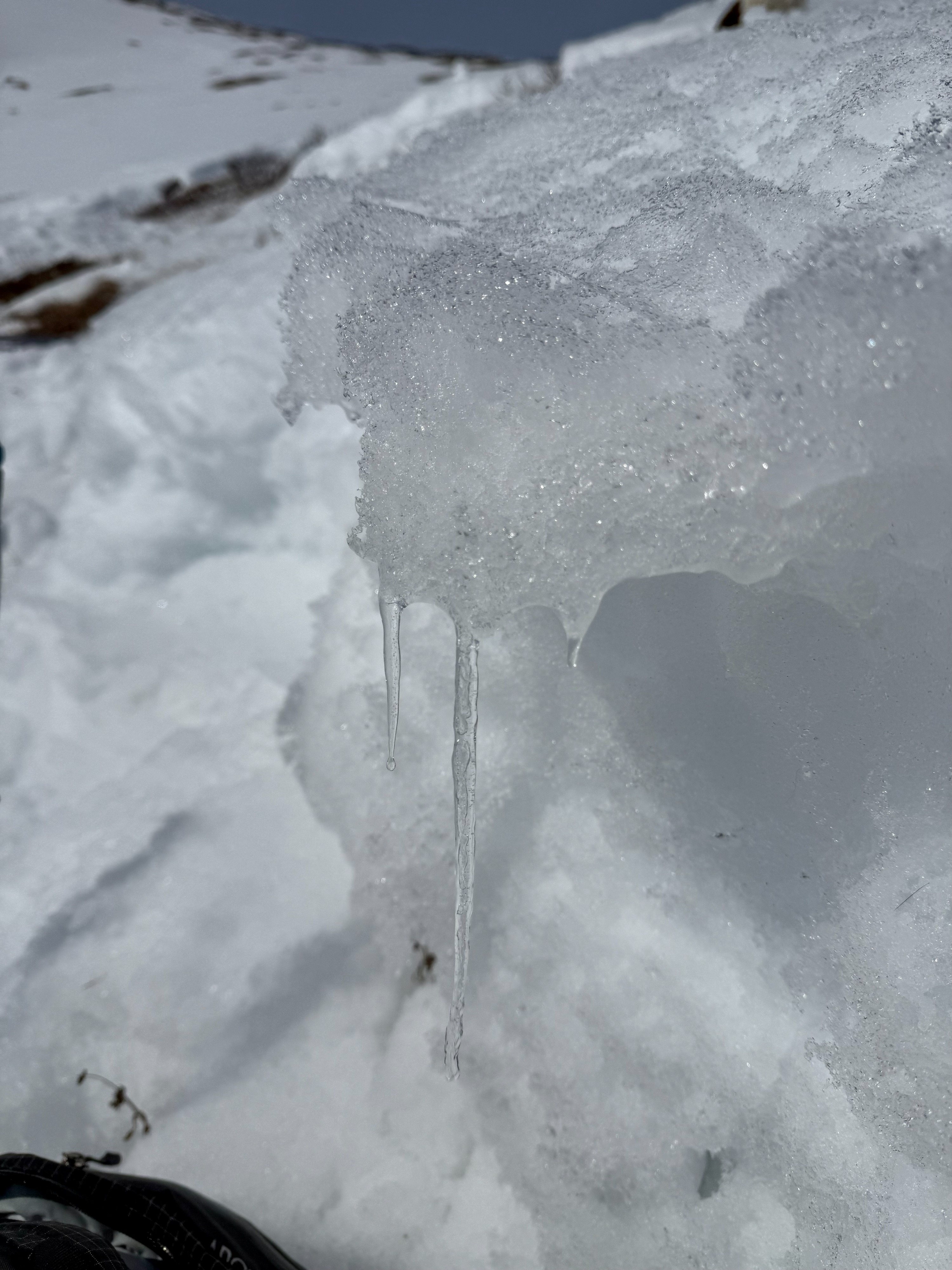
Although we did not observe any recent avalanches today, nor cracking or collapsing, we did observe rapid warming that is turning the snowpack isothermic on south aspects and will contribute to more wet avalanche problems in the coming days.Weather
- Air Temp
- 32 deg at noon at 4500'
- Cloud Cover
- clear
- Wind Loading
- previous
- Recent Snowfall
- 0
- Snow Avail For Transport
- none
Today felt warm and fortunately SE winds gusting in the 20s kept snow surfaces relatively cool. Temperatures reported 40F at the truck and maxing out at 32 deg at 4500'. The high sun angle made the temps feel quite a bit warmer. Sunshine dominated most of the day until a haze developed in the afternoon,
Snowpack
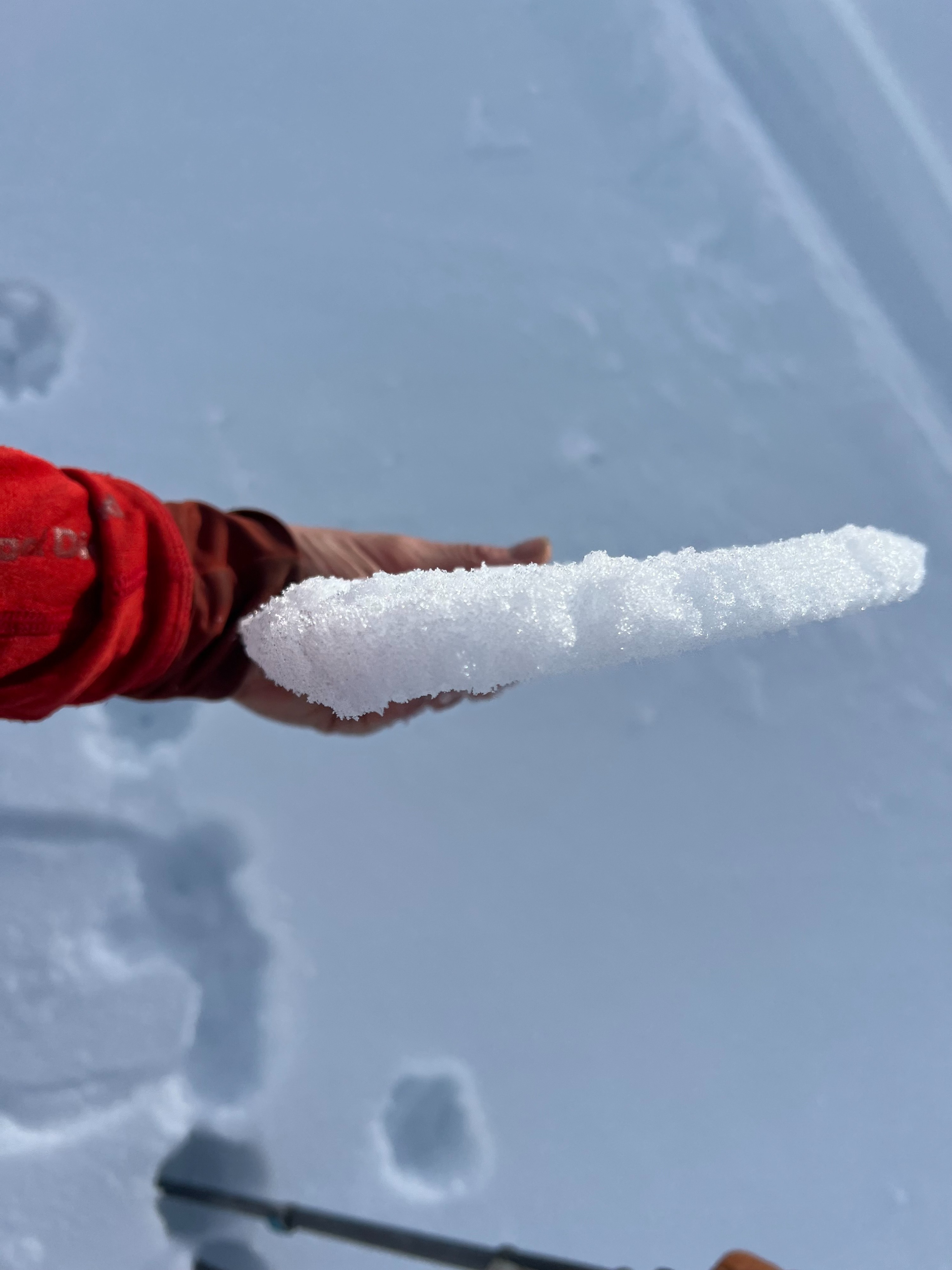
The snowpack is deteriorating rapidly on steep southerly aspects. Many locations have transitioned to moist-wet grains all the way to the ground, especially after noon on steep slopes on all southerly aspects. See pit below for a representation of what the snowpack resembles on south aspects at 4000'. We also observed a thin 1-2" thick crust on all north aspects we skinned up today.
Avalanche
Avalanche information provided in this observation is accurate data from forecasters who verified the avalanche in the field today from the avalanche that occured 3/29.