
Quick report
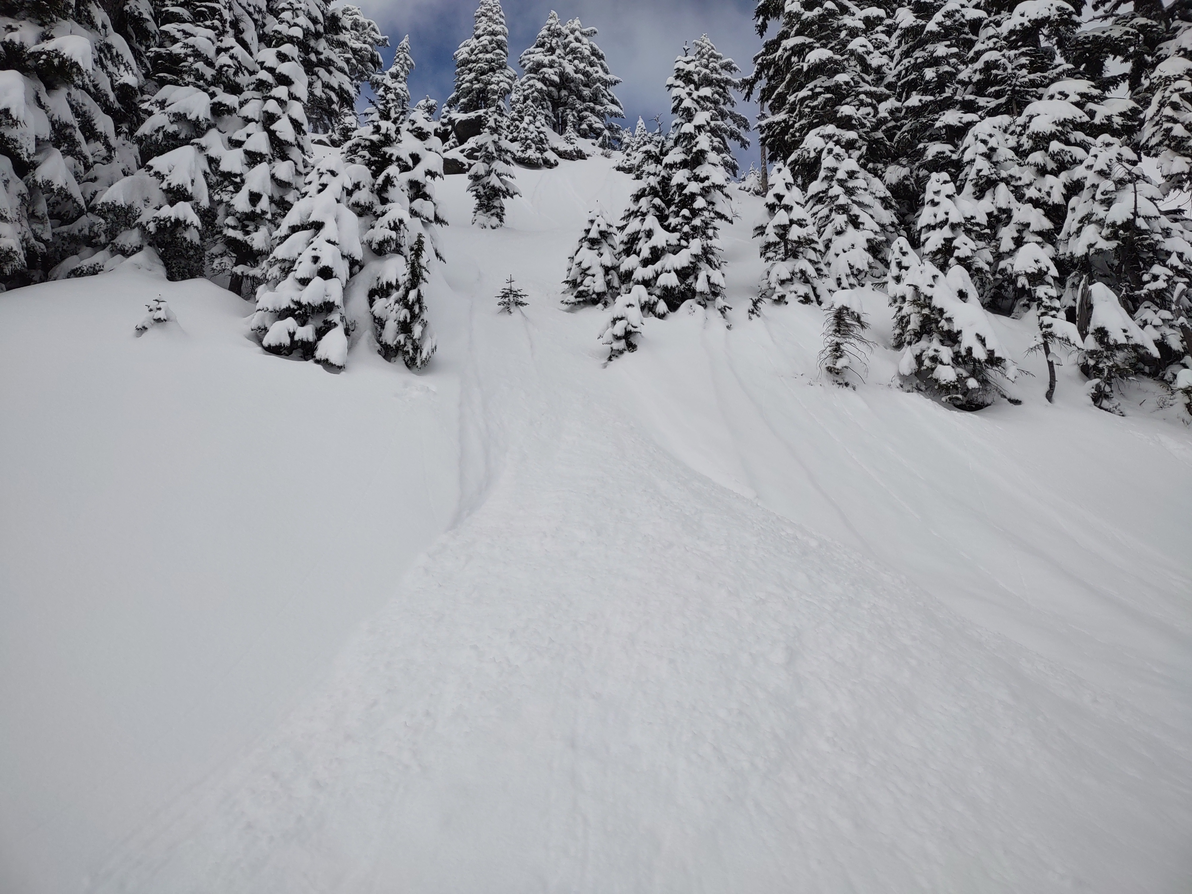
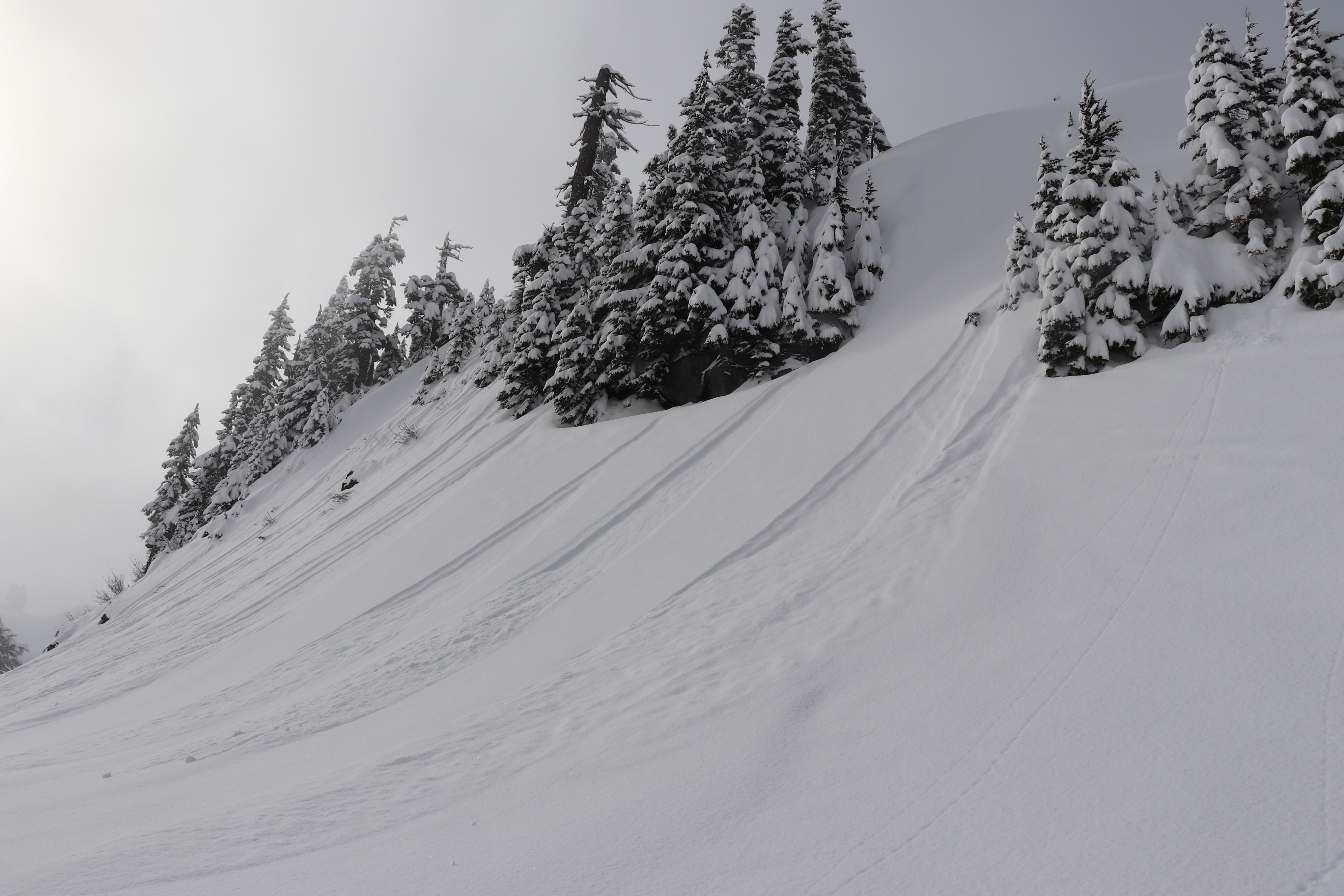
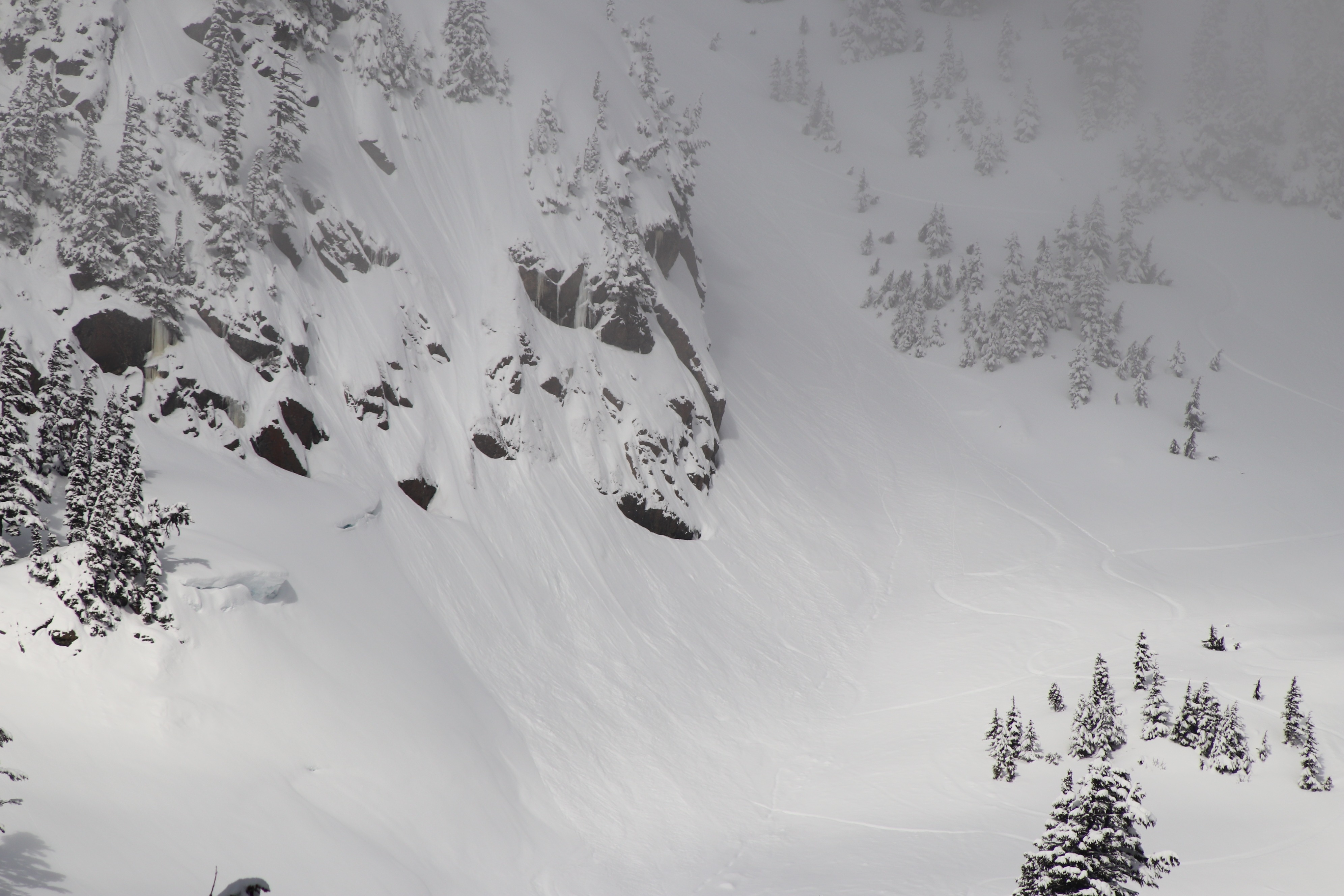
Roughly 6-10 inches of non wind affected new snow from Wednesday. The most recent snow is very low density, and was well bonded to the underlying layer. Outside several skier triggered ones, small dry loose were observed running naturally, mostly underneath steeper rocky areas. In general, the snow stayed quite cold all all aspects in our area, and never felt slabby or reactive. No slab avalanches involving the recent snow were witnessed, and lots of different terrain was rode. The day was very pleasant, with excellent snow quality out their!.
Weather
- Air Temp
- 20s/ high teens in the morning.
- Cloud Cover
- broken
- Wind Loading
- none
- Rain Elevation
- Valley floors
- Recent Snowfall
- 20
- Snow Avail For Transport
- large amounts
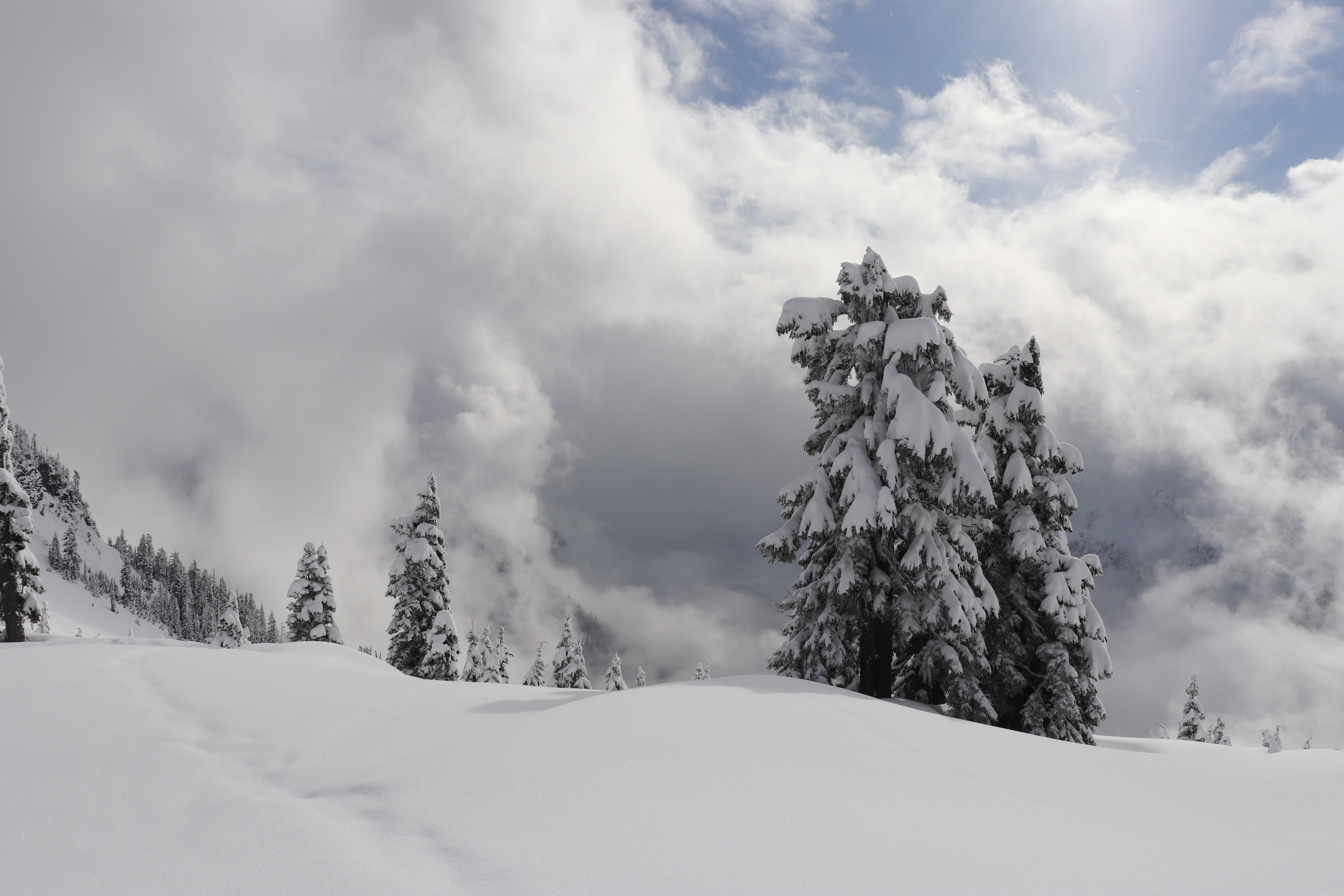
There were moments of sun, however it was generally obscured with clouds. Intermittent light snow showers, with very little accumulation during the morning and flurries after noon. It was a very pleasant day with calm winds and cold temperatures.
Snowpack
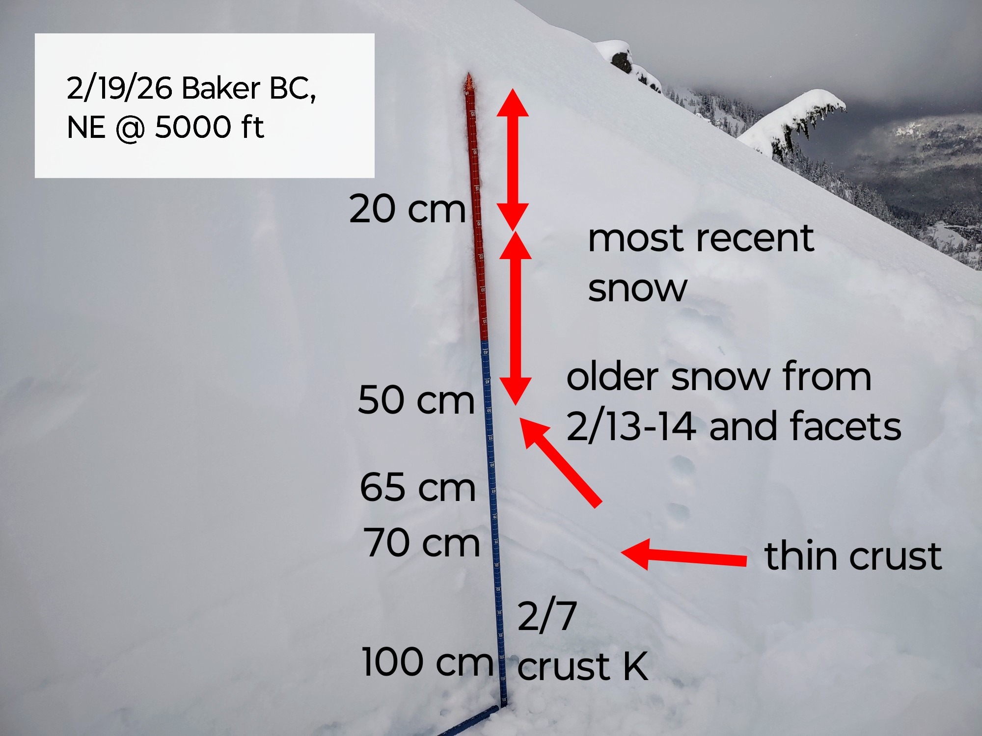
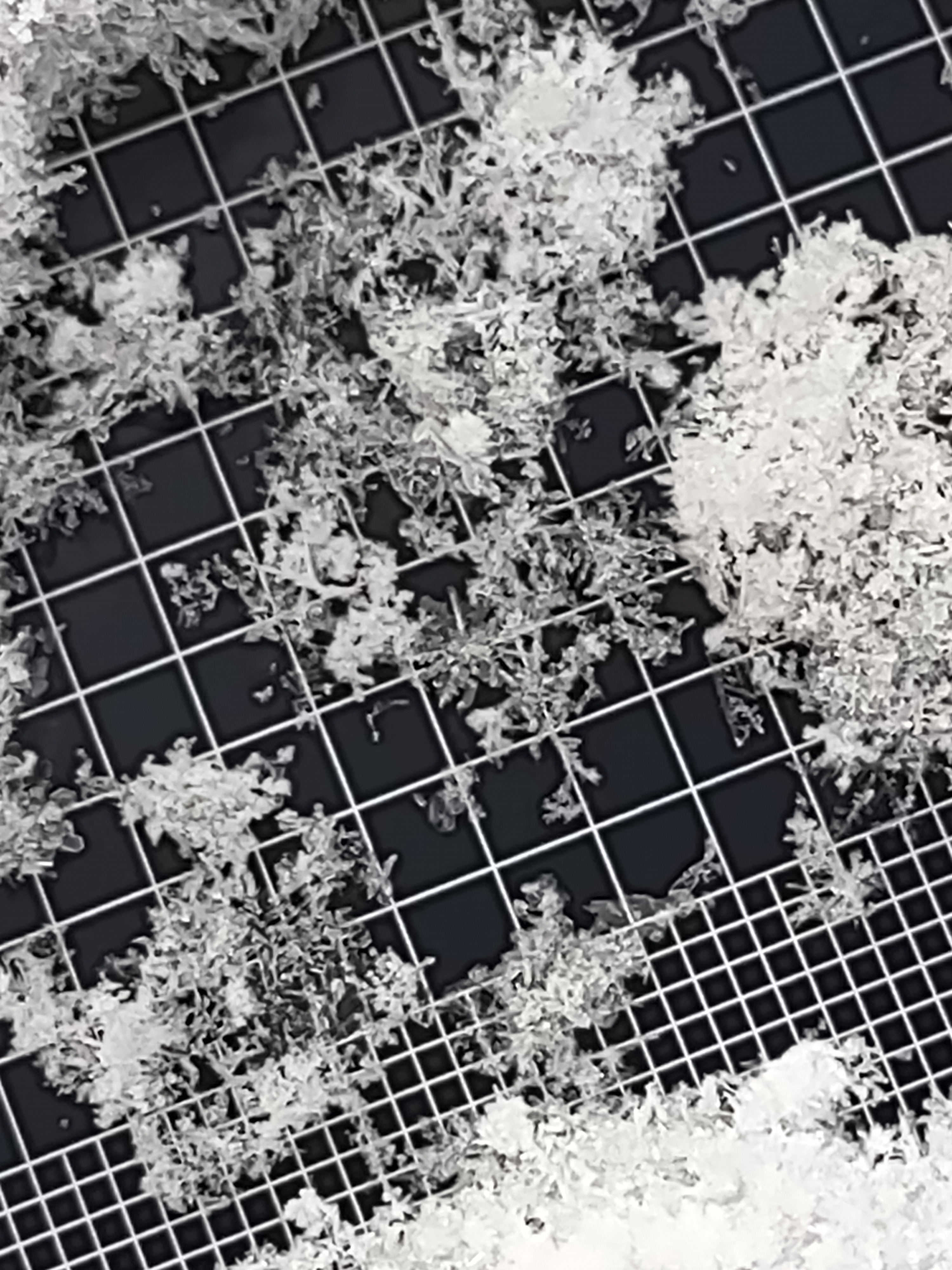
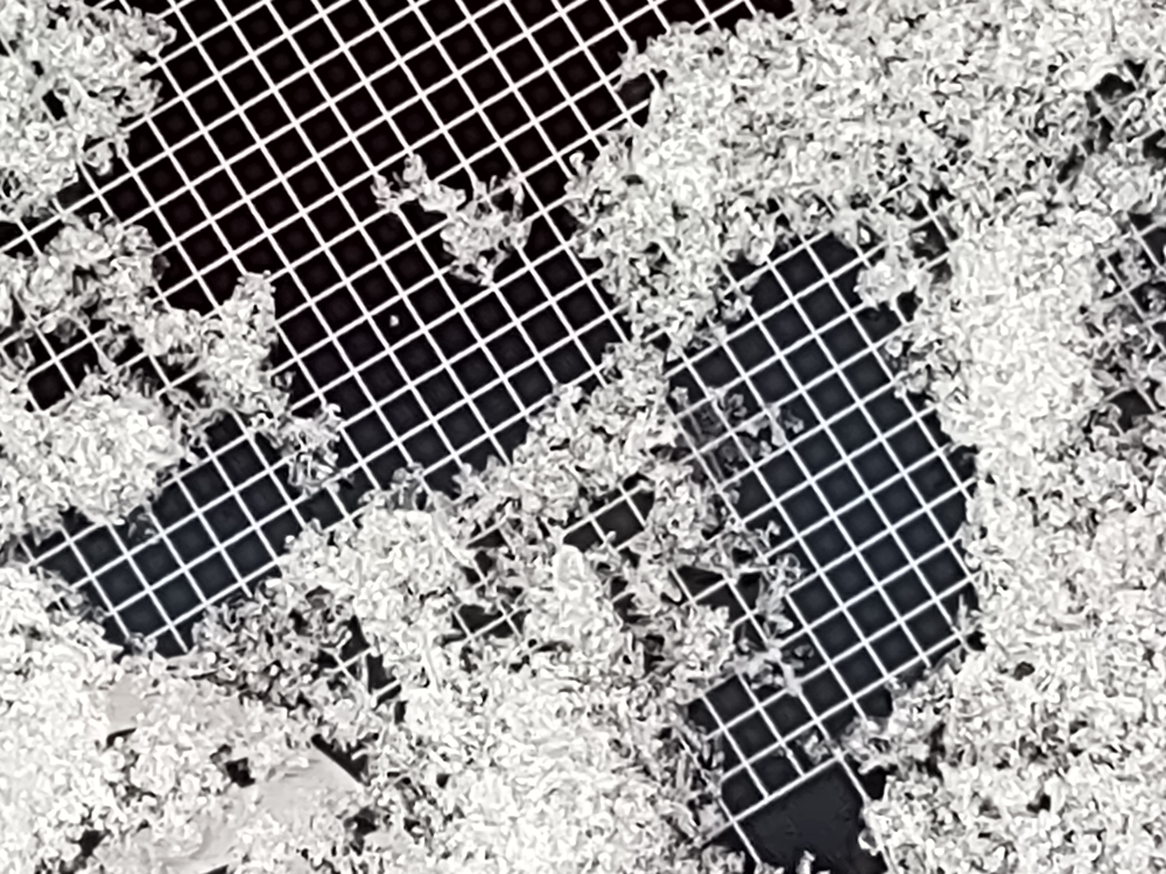
6-10 inches of most recent very low density F hardness snow from Wednesday. On aspects that saw good sun breaks the past few days, a sun crust exists below this new snow primarily S. Dug a pit on a NE aspect at 5000 ft. Right side up F hardness snow increasing to 1 F above the crusts buried about 65 cm deep. Mixed grains and 1 mm facets were found at 50 cm which produced moderate CT results on isolation, but a large column test produced no result. Facet development in weaker F/4F snow was also found beneath the most recent snow in the older storm snow from early week. Upper snowpack structure may present as a weak layer with future loads.