
Quick report
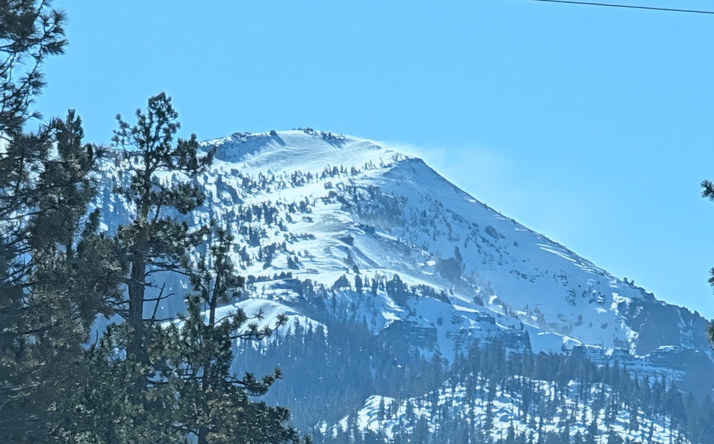
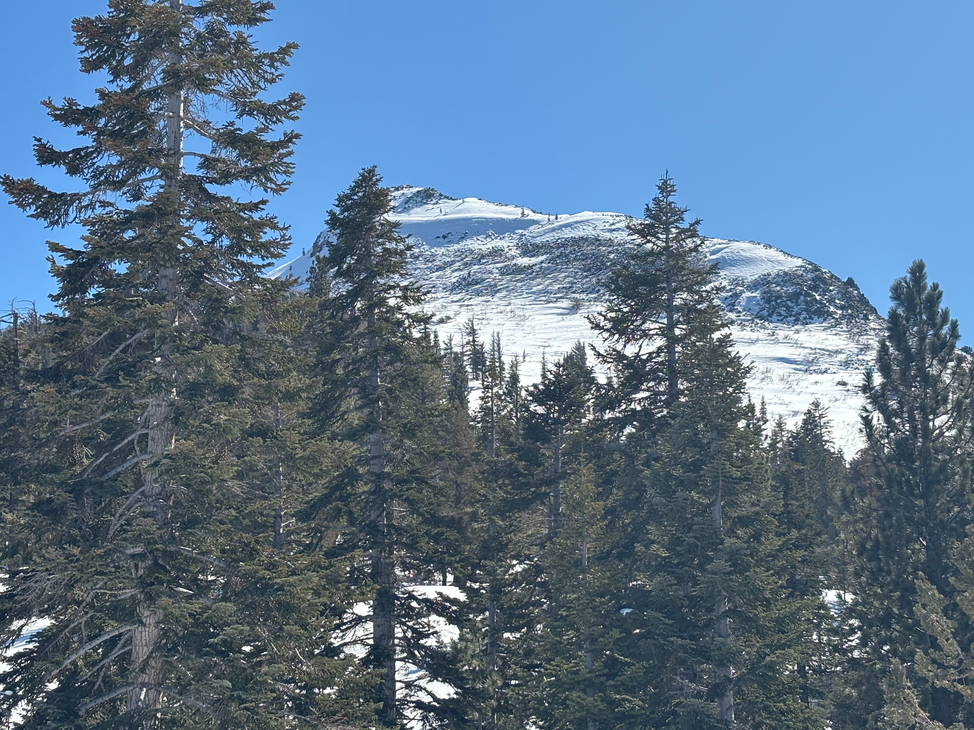
On the drive down to Pickett Peak, we could see plumes of blowing snow coming off some of the higher mountains. It looked like the NE winds transported some snow across the ridges. The NE face of Pickett looked like those same winds had scoured much of the snow away and left many exposed rocks on the face.
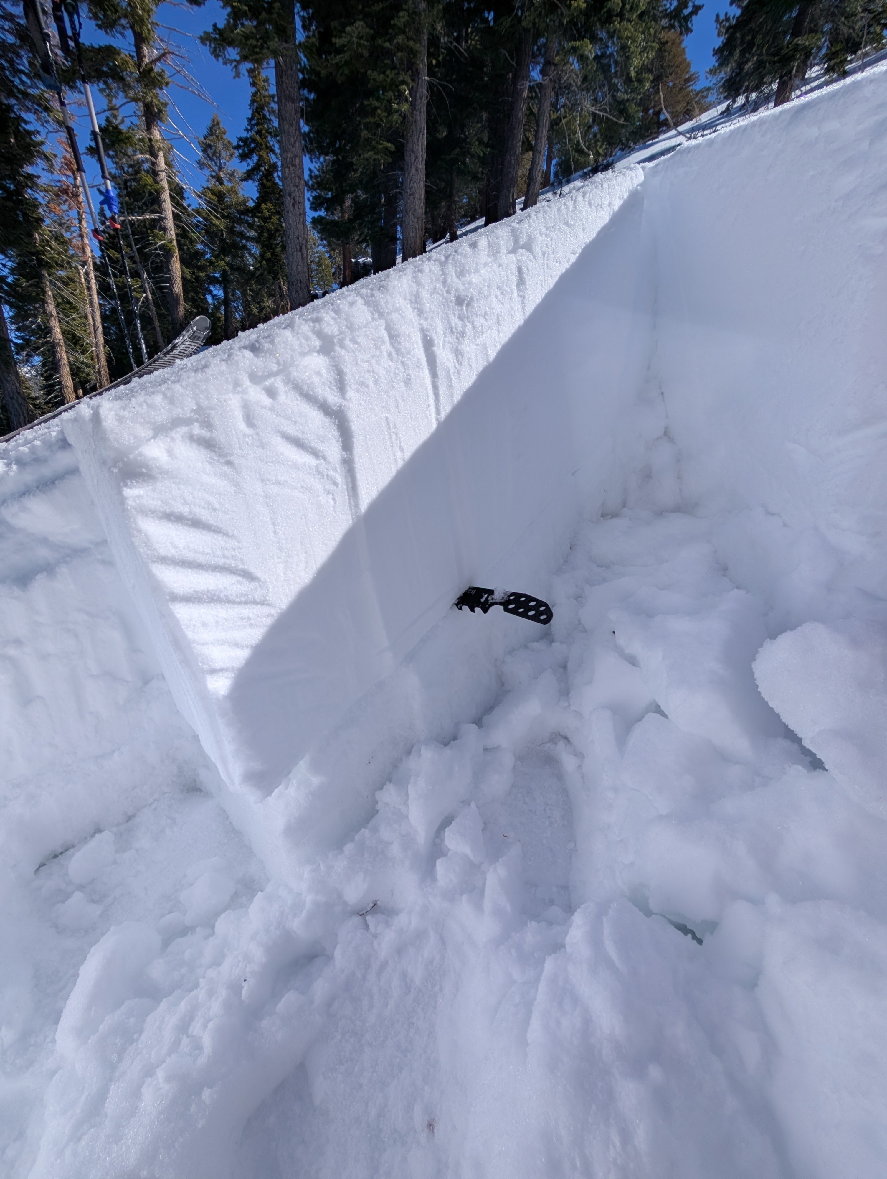
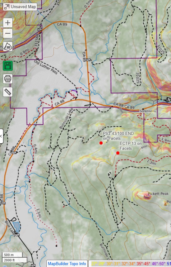
In the more sheltered areas below about 8200 ft on Picketts Peak, we found that last night's p[precipitation had left a thin and variable rain crust with a dusting of snow on the surface up to about 8100 ft. This area received less snow during the last storm, but the facets below the storm snow still existed. As we moved through NW-N-NE facing terrain, we could feel this suspect layering (slab over weak layer) with our pole plants. We dug snowpits at two locations. Tests still indicated that while triggering a failure on those facets may be getting harder, it remains possible - PST 43/100 END, DT21, and DT 24 on a NW aspect at 7500 ft and an ECTP13 on a N aspect at 8000 ft. Other than those unstable test results and the snowpack structure, we did not see any other obvious signs of unstable snow.
Weather
- Air Temp
- 37 °F
- Cloud Cover
- clear
- Rain Elevation
- 8100 ft
- Recent Snowfall
- 2 cm
- Snow Avail For Transport
- small smounts
Clear, warm weather with NE winds.