
Quick report
We found a wet but generally stable snowpack at middle and lower elevations. Last night's weak re-freeze created a thin crust that could not support your weight by midday. The only potential anticipated avalanche hazards where we traveled were wet loose on slushy, thin, steep slopes facing the morning sun.
No obvious signs of instability.Weather
- Air Temp
- 30-35
- Cloud Cover
- broken
- Wind Loading
- none
- Recent Snowfall
- 0
- Snow Avail For Transport
- none
Windows of warm sun in the morning. Dark, moisture-laden clouds moved in midday. Some snowflakes and a few raindrops. Very little wind at middle elevation. No snow available for transport.
Snowpack
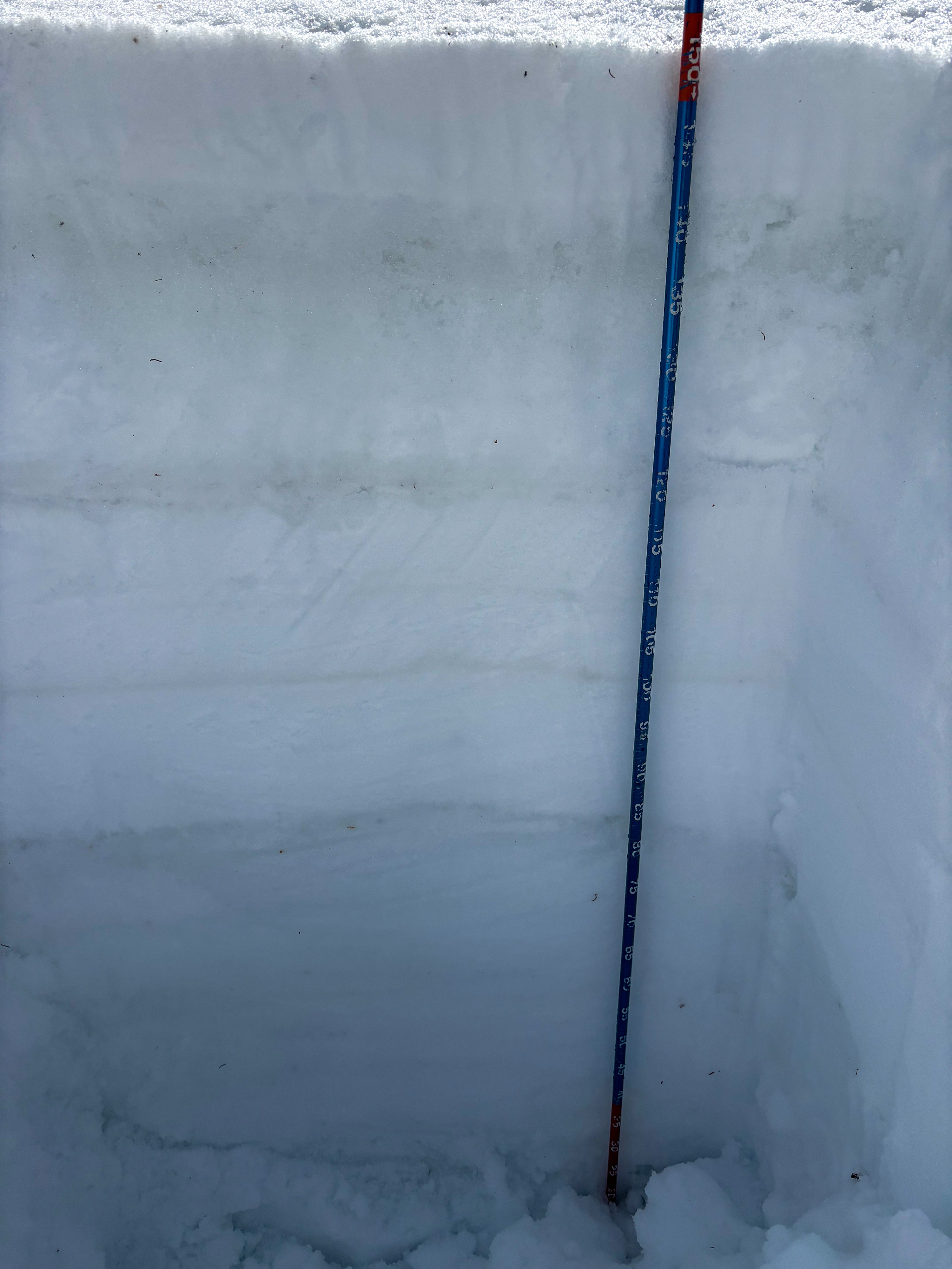
I did not find dry snow anywhere, up to 9,000'. Even previously stiff thigh-deep drifts were unsupportable. Meltwater was suspended along obvious weak layers where it will remain till frozen. Meltwater production has essentially halted, but where I was, it wouldn't make much difference since there was very little, if any, dry snow to be found. When/if this fully re-freezes, it will be a brick.
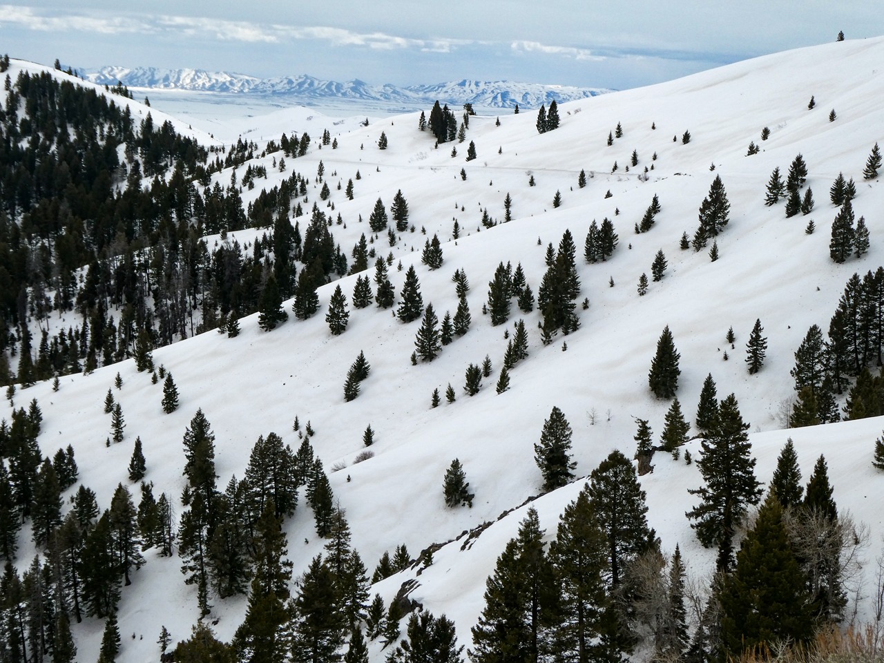
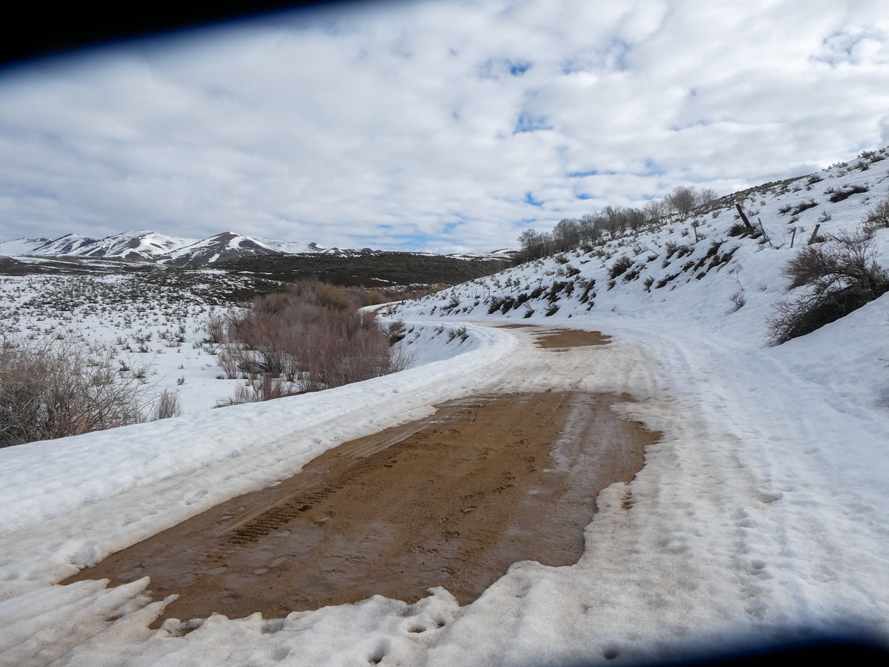
Snow coverage was inconsistent in the Soldier foothills and on sunnier slopes to 8,500' or so. A healthy 150 cm deep snowpack was found at 7,000' on a NW aspect. Access to Wells Summit isn't long for the world, but Couch is hanging in there.
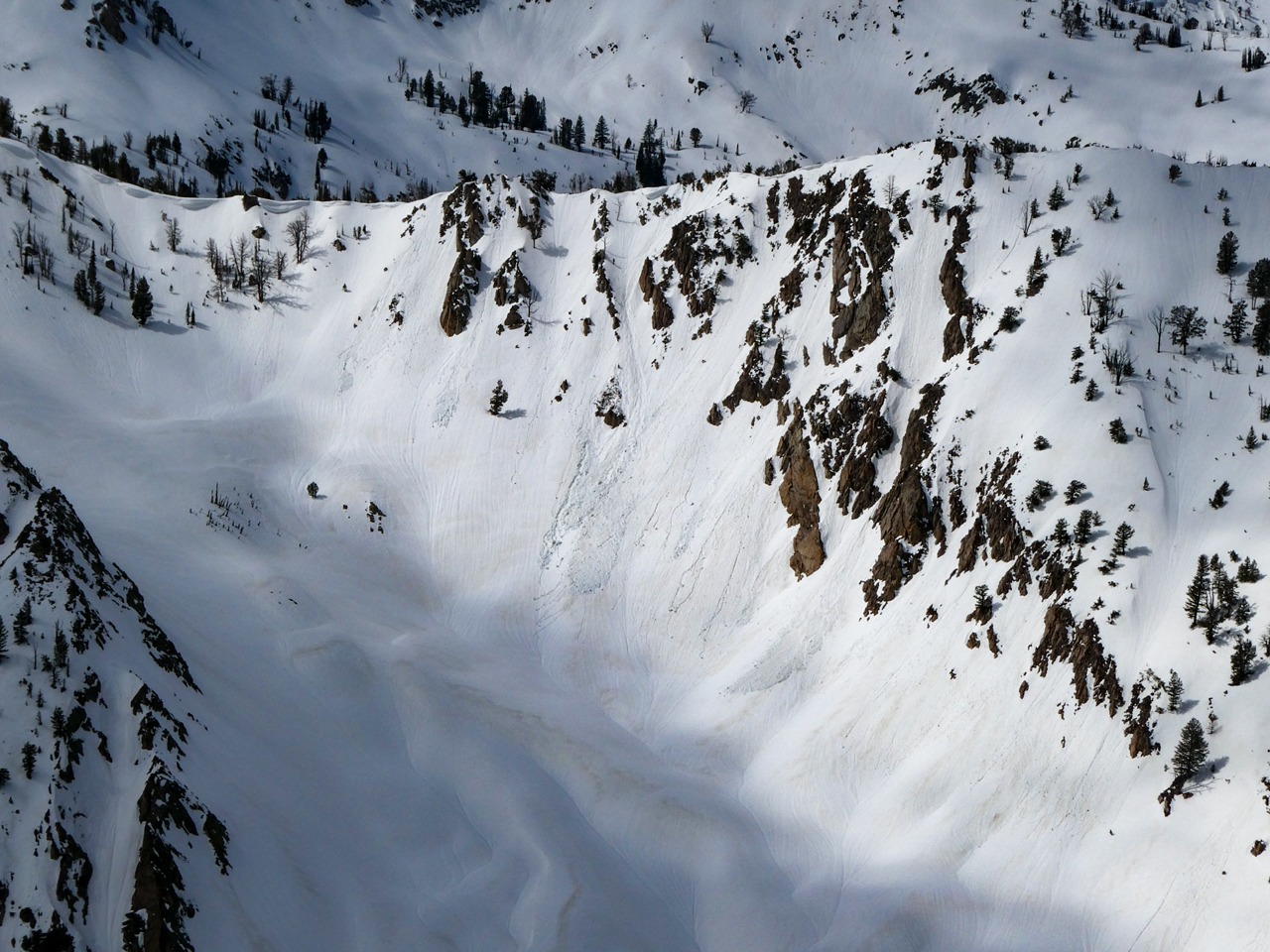
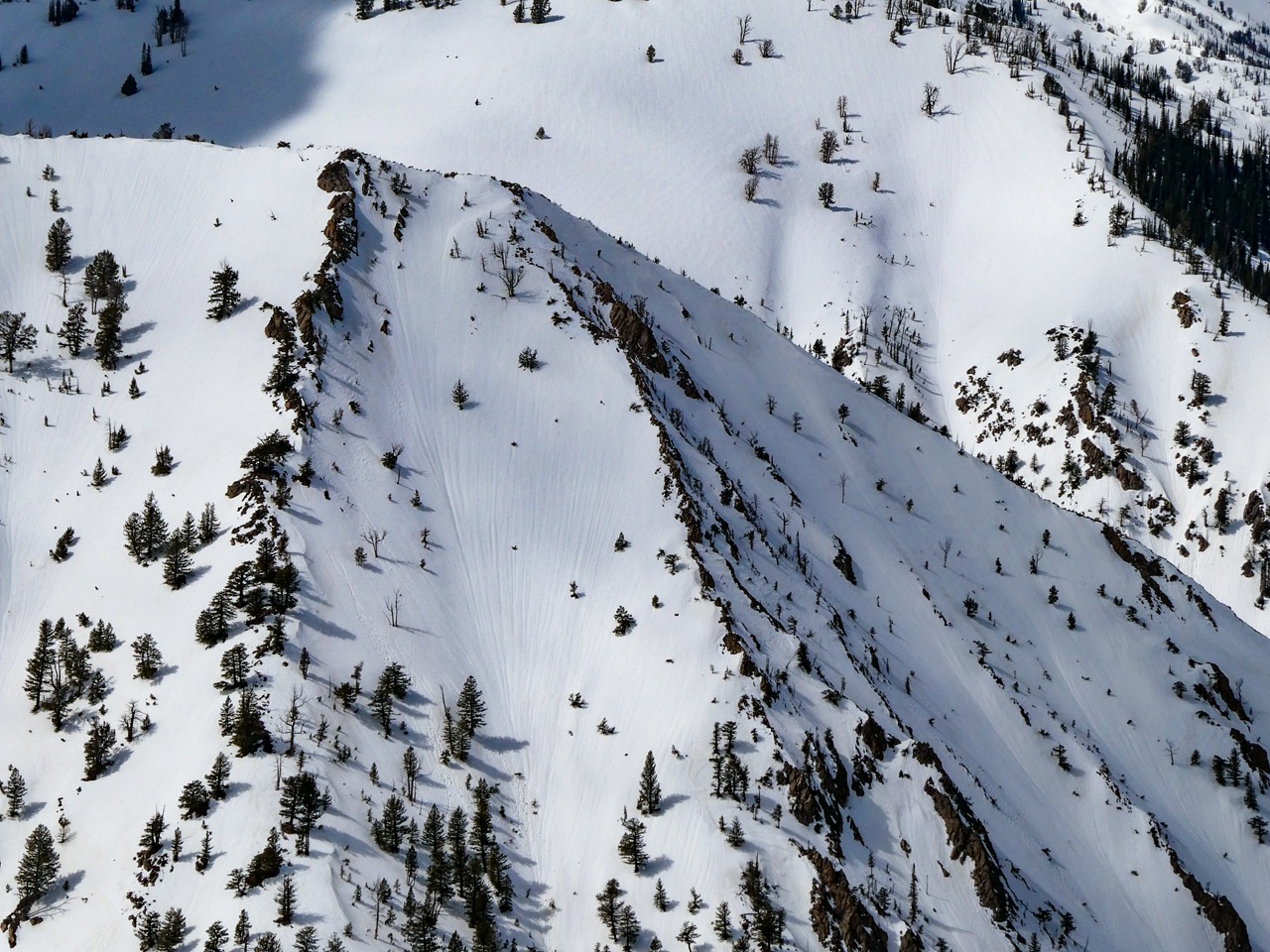
Snow surfaces were very rough and weathered. There was a soft 10 cm melt-freeze crust at the surface that provided a little structure but was not boot supportable midday. The dust layer was at the surface on most slopes as far as the eye could see.
Avalanche
- Size
- D2
- Count
- 4
- Aspect
- W
- Trigger
- N
- Elevation
- 9000 ft
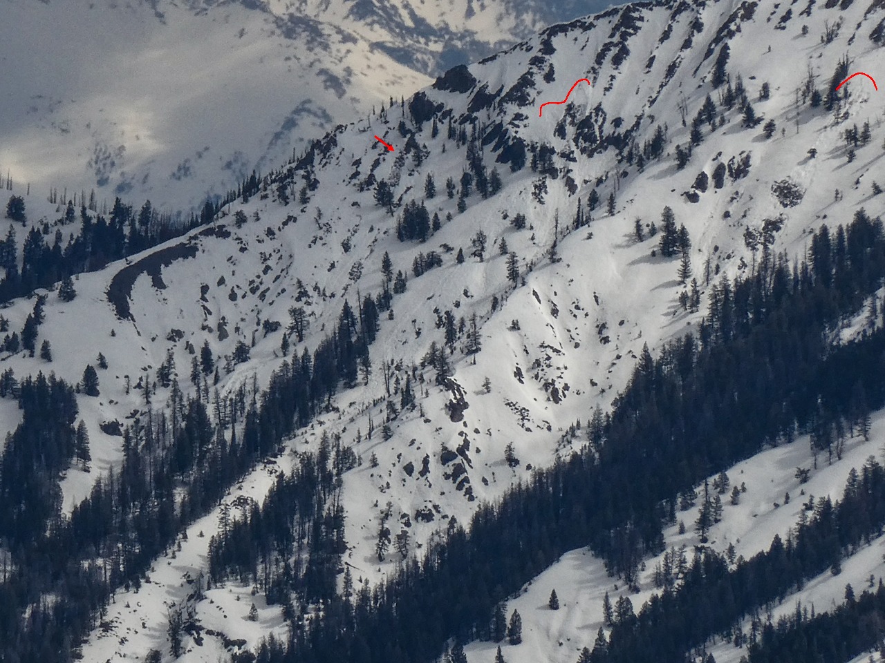
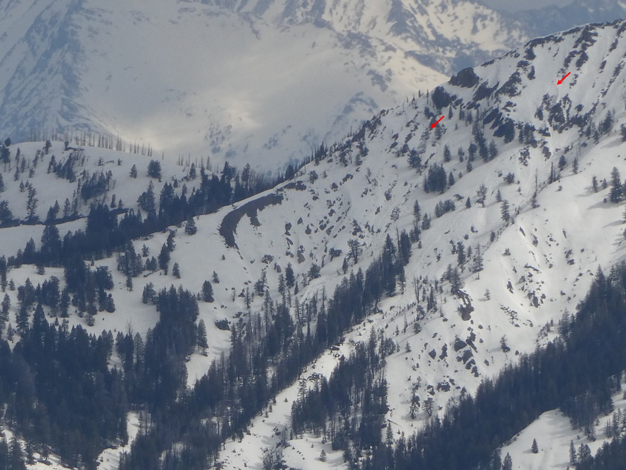
Apparent wet slabs near Dollarhide Summit. Some wet loose, mostly small. Some appeared to gouge into wet snow in shallow snowpacks.