
Weather
- Cloud Cover
- scattered
- Wind Loading
- previous
- Recent Snowfall
- 0
- Snow Avail For Transport
- small smounts
Increasing clouds throughout the morning with moderate SW winds above 8200'.
Snowpack
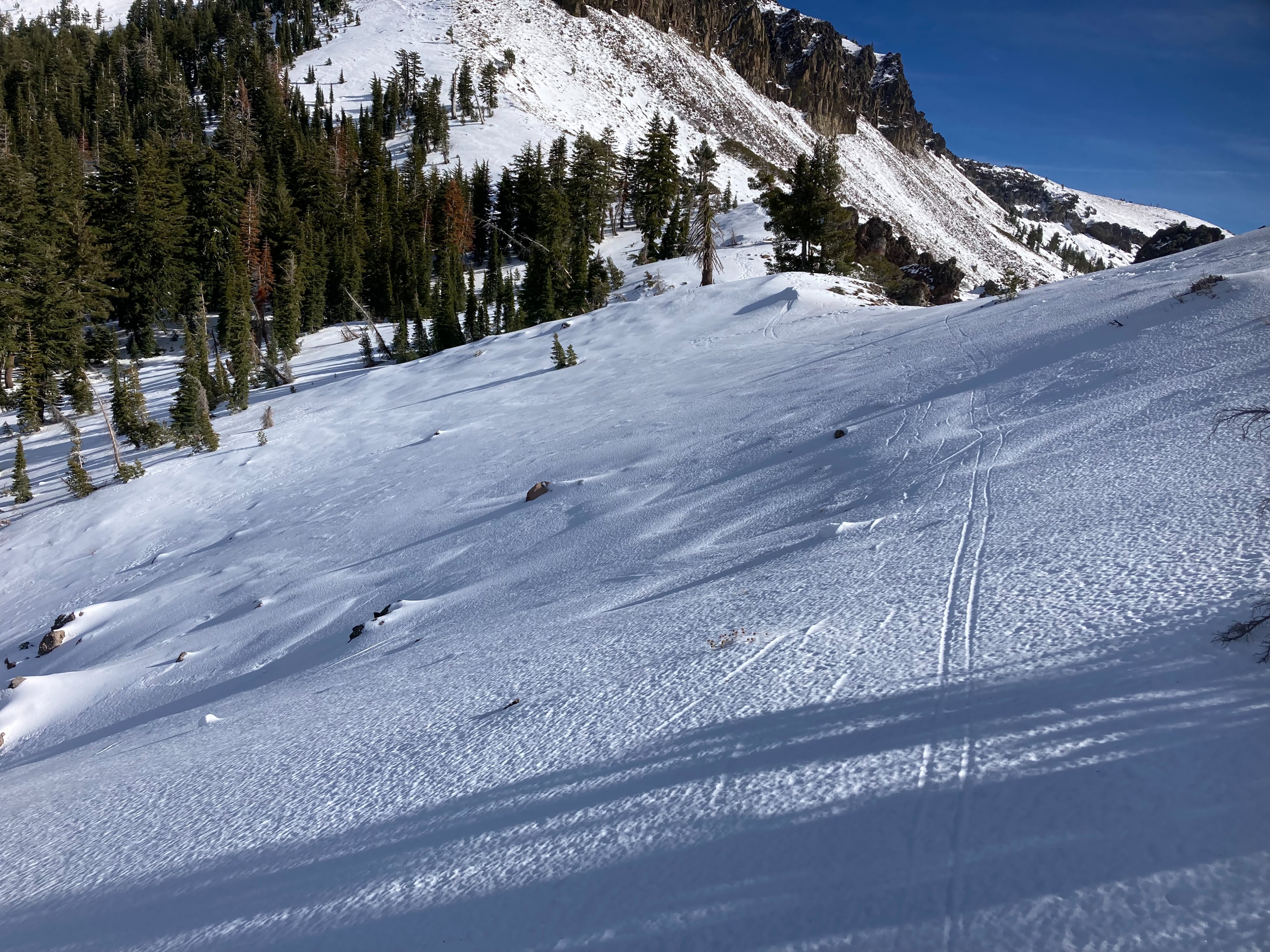
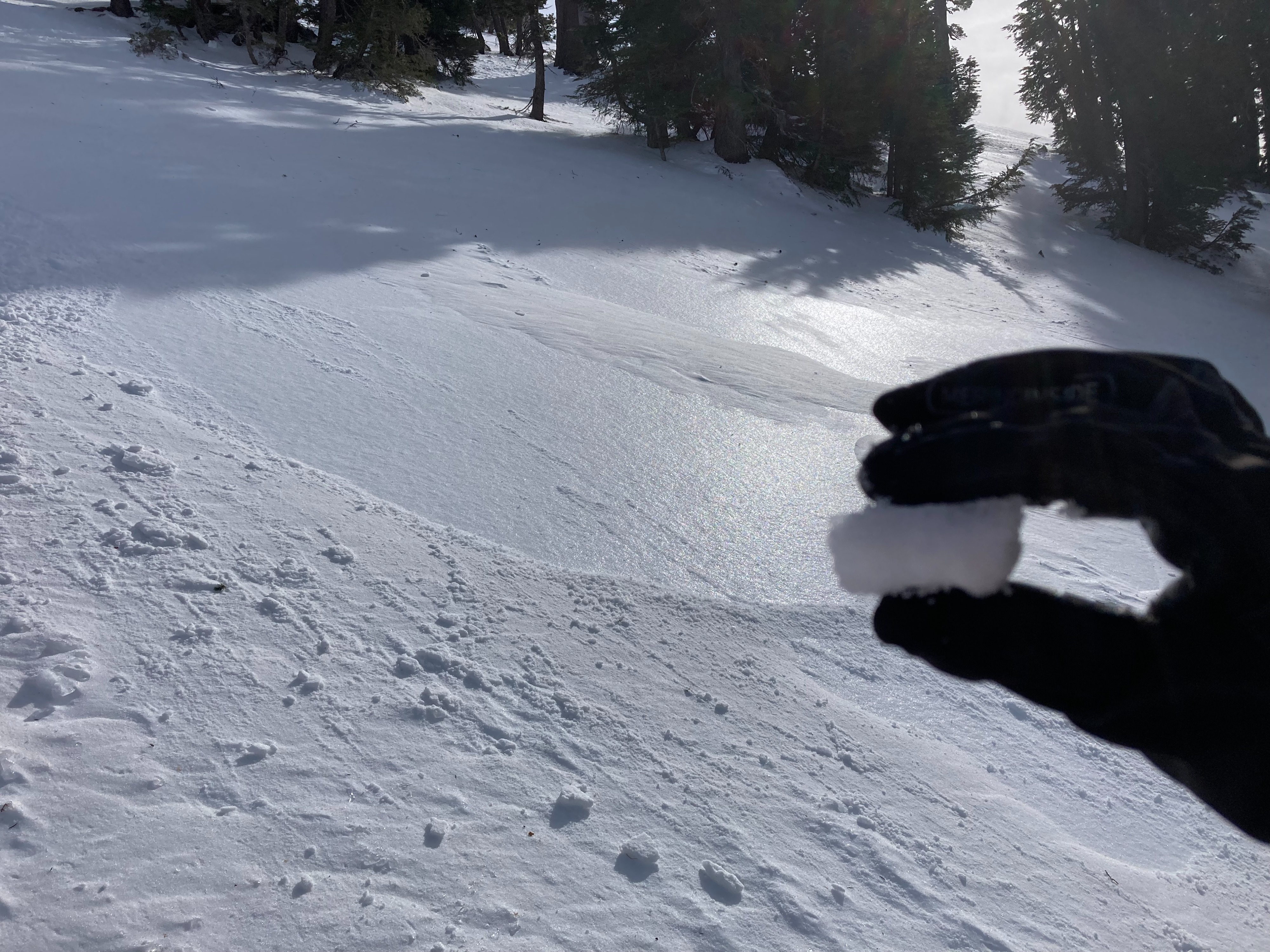
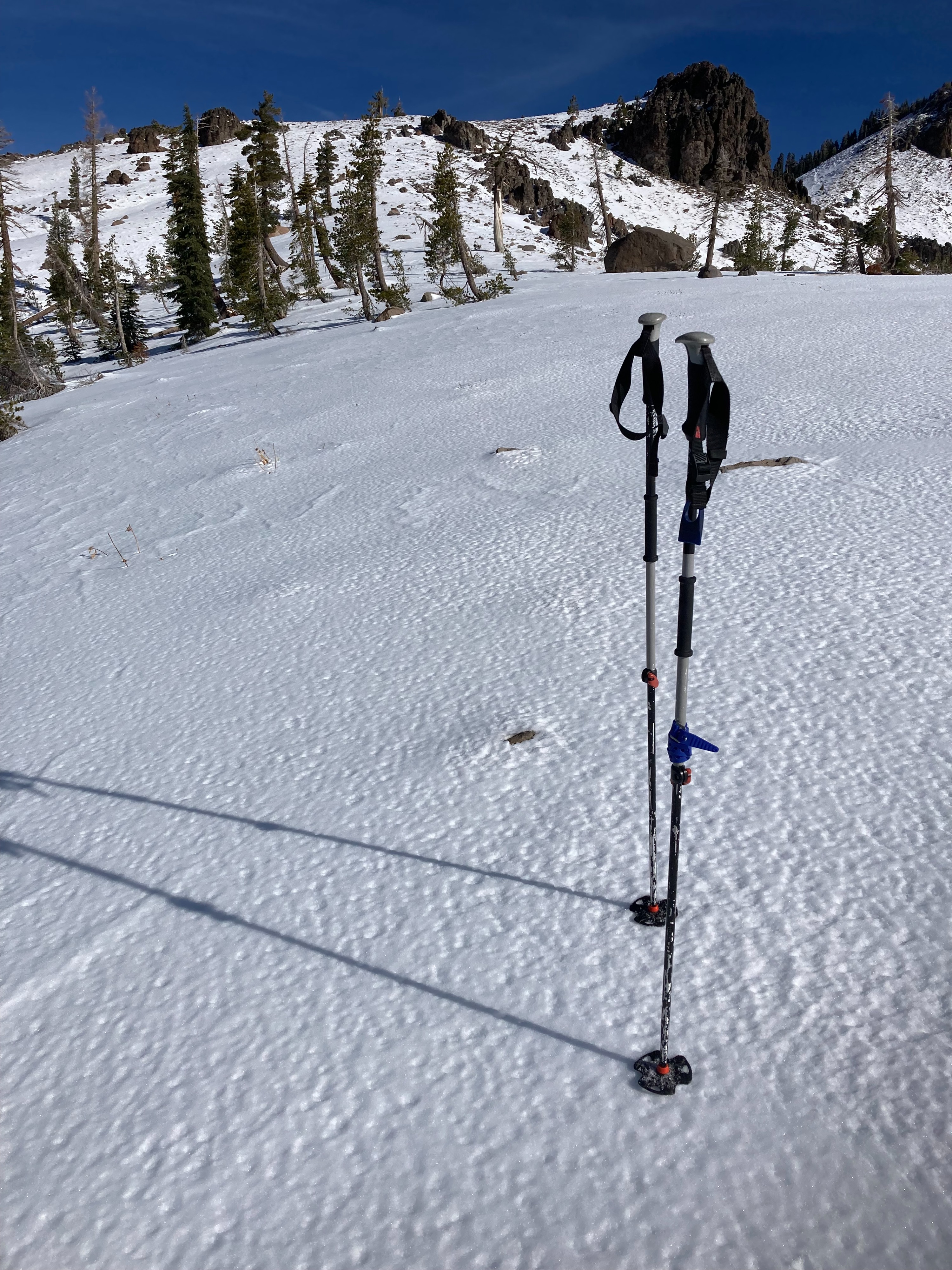
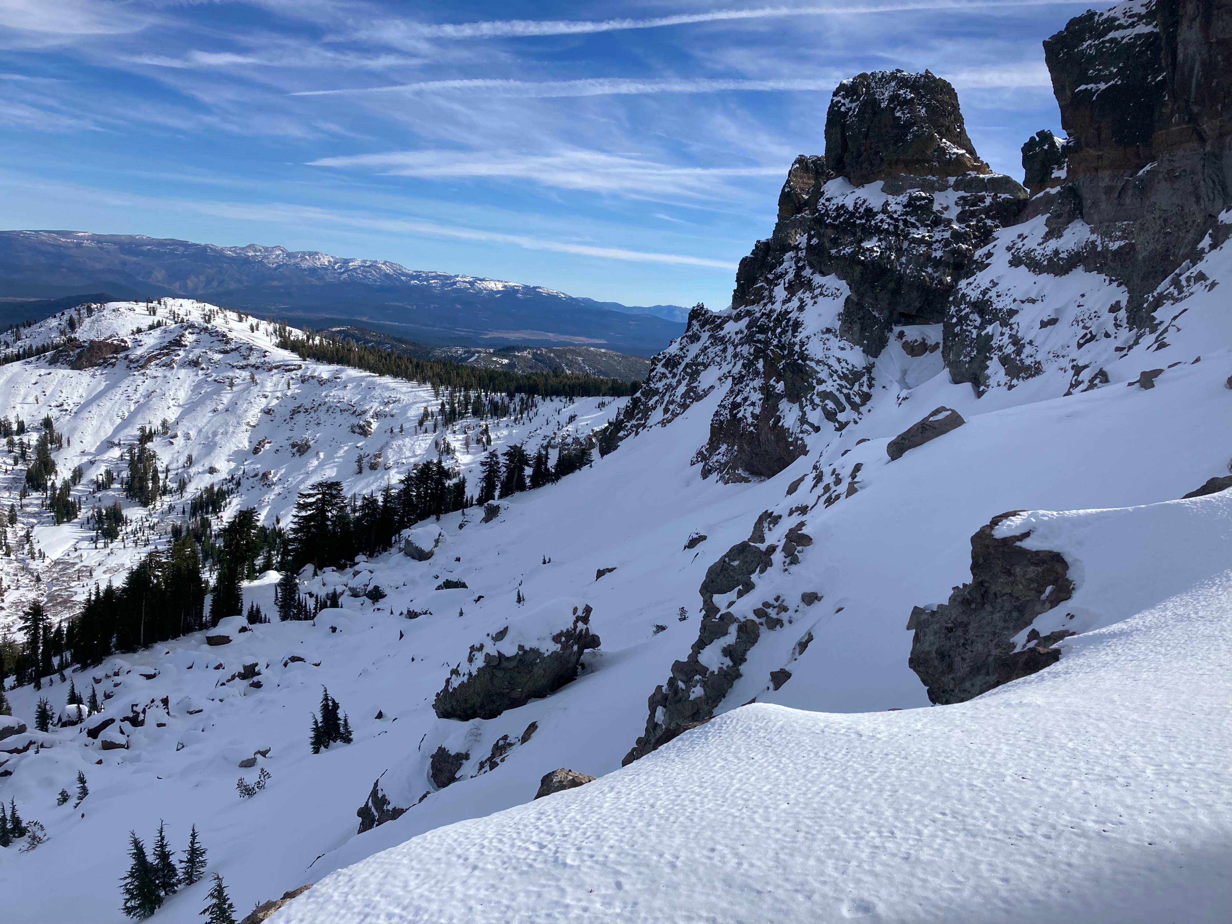
Snow coverage increases around 7800' and becomes around a foot deep on NW-N-NE aspects above 8000' in this area. Snow surface clues indicate that the weekend storm rained a substantial amount in this area and up to higher elevations. Below 8400', the rain crust is very firm with limited boot or ski pen on these slopes. At higher elevations up to at least 8800' the rain crust was less thick and breakable in some areas. This rain crust was buried in many wind protected areas above 8400' under recent storm snow as the storm switched from rain to snow. In wind exposed areas the recent winds scoured off the new snow exposing the rain crust. The rain crust helped provide good ski supportability with minimal ski penetration into the snow which made travel easier and helped avoid some of the many obstacles present out there. Southerly aspects were softening throughout the day with the mild temperatures and mostly sunny skies. Snow is melting away on these aspects making for less than ideal travel conditions.