
Quick report
- Cracking
- specific
- Collapsing
- specific
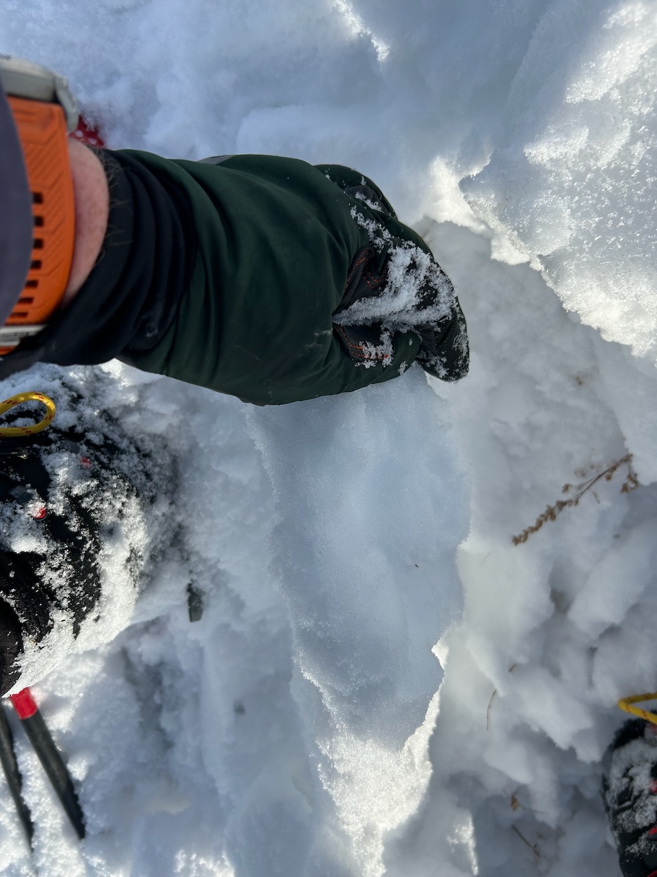
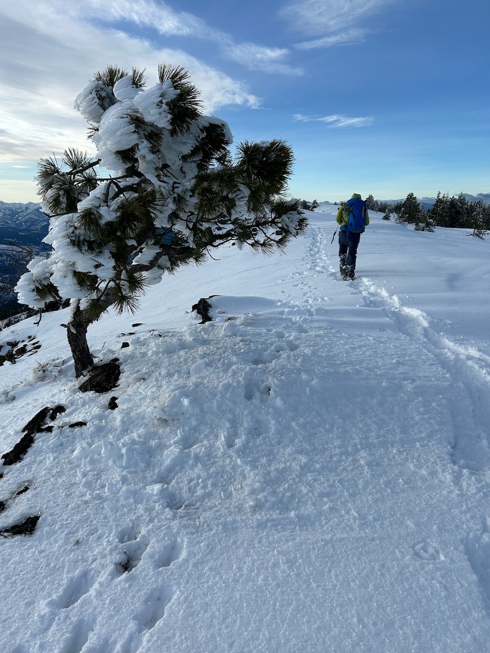
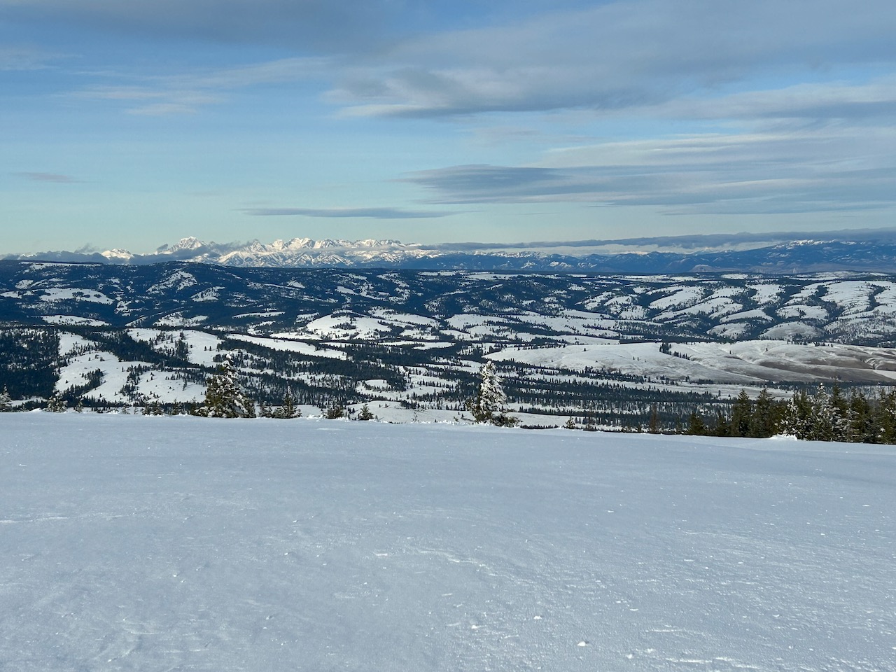
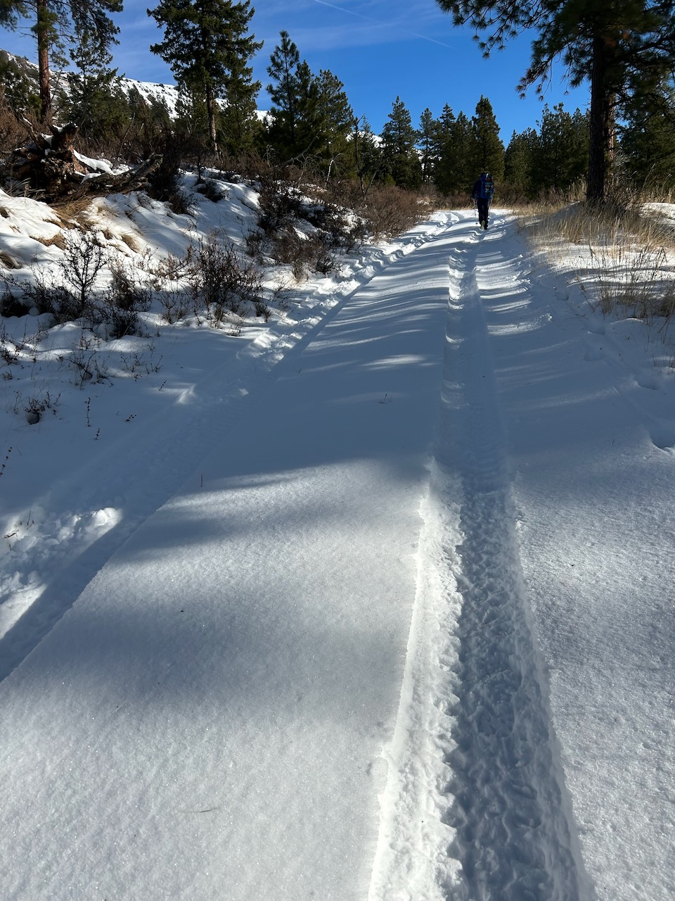
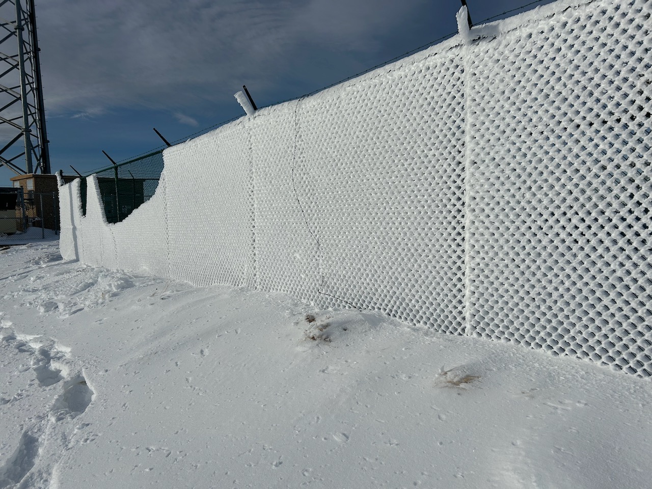
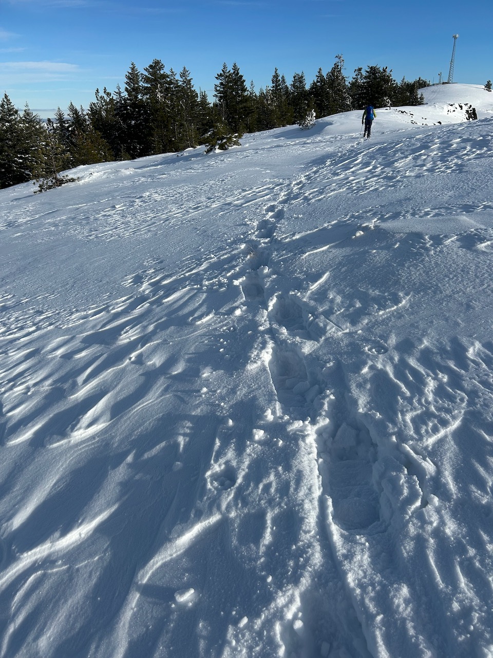
Snowpack was very shallow further east down the SR-410. My buddy and I ran into snow around 3.5k', but it was extremely shallow; there was a lot of sagebrush sticking through the snow which made for slow travel. Around 4.7k' the snow deepened and became more powdery. The walk across the ridge was over obvious wind fetch (characteristic styrofoam sound). The satsurugi was variable direction wise along the ridge, but it looked like the last predominant wind event was from the south/eastern aspect in that area of the zone (off the Palouse) based on small cornice overhangs which were starting to build up around the towers. Lots of rime ice on one of the ponderosa pine trees and chainlink fence at the radio towers, pointing in the SE direction. Depth seemed to be 60cm max / 15cm average (based on tire tread wells made by ORVs along the ridge). Snowshoe penetration was 7.5cm average / 10cm max along the ridge. There were shallow localized storm/wind slabs near the towers. It looked like there were 2 separate storm events which dropped ~5cm each, sandwiching a weak interface. The surface slab was very weak, but the next slab was much deeper and stronger (in general), but seemed to be fist+ ~ weak 4 finger pressure strength and broke in a very diffuse way.
Weather
- Air Temp
- Mid to upper 20s with windchill
- Cloud Cover
- few
- Wind Loading
- moderate
- Rain Elevation
- 3500
- Recent Snowfall
- 5
- Snow Avail For Transport
- none
Very chilly/crisp around sunrise (in the 20s) when driving down the I-90 (Ryegrass) and SR-97 (the Umtanum Ridge area). Adams and Rainier were 100% visible on drive ; sky was cloudier around Snoqualmie Pass/Stuart range.