
Weather
- Cloud Cover
- scattered
- Wind Loading
- previous
- Recent Snowfall
- 0
- Snow Avail For Transport
- moderate amounts
Mostly sunny in this area with periods of cloud cover. Light East winds along upper elevations.
Snowpack
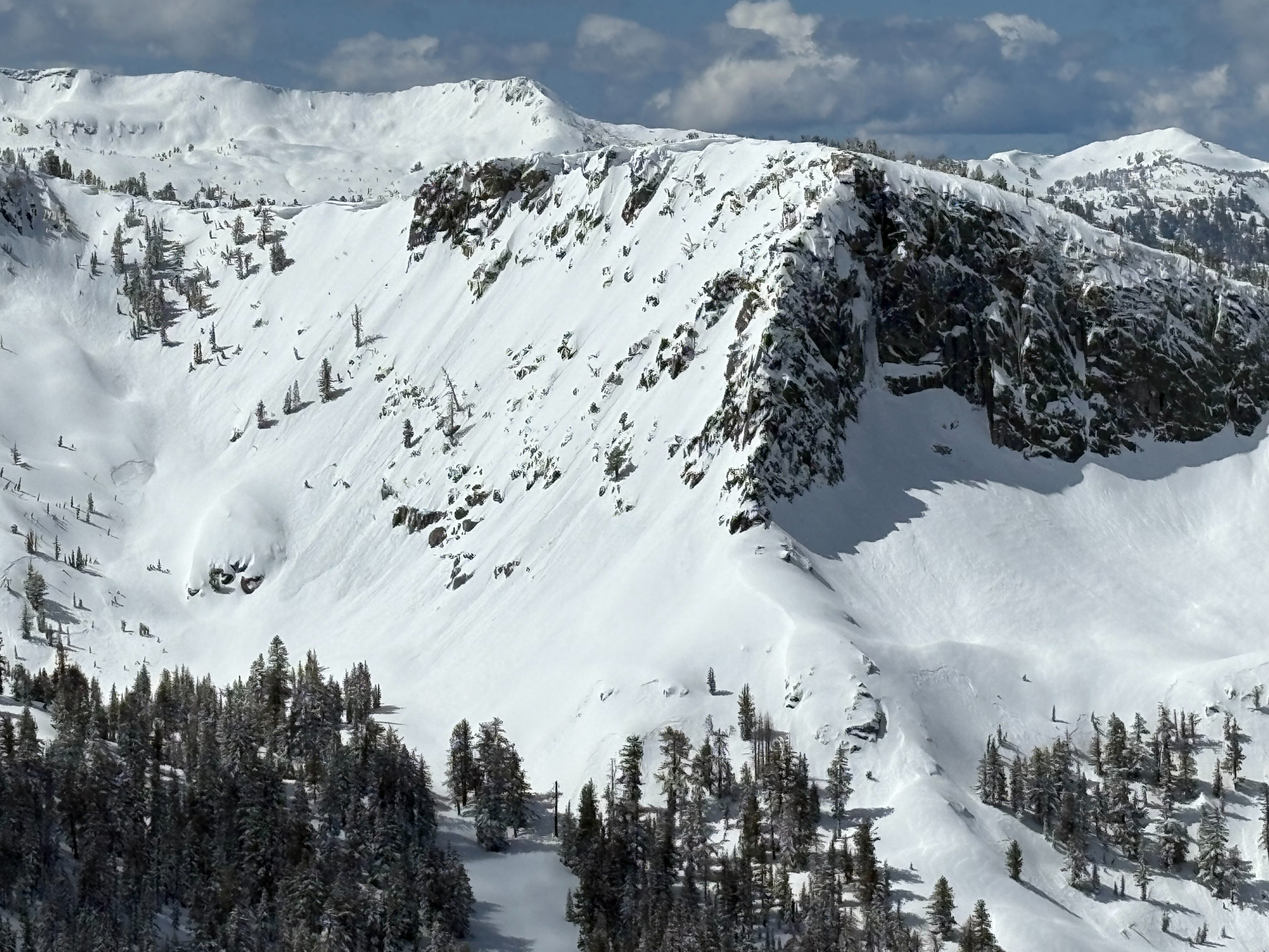
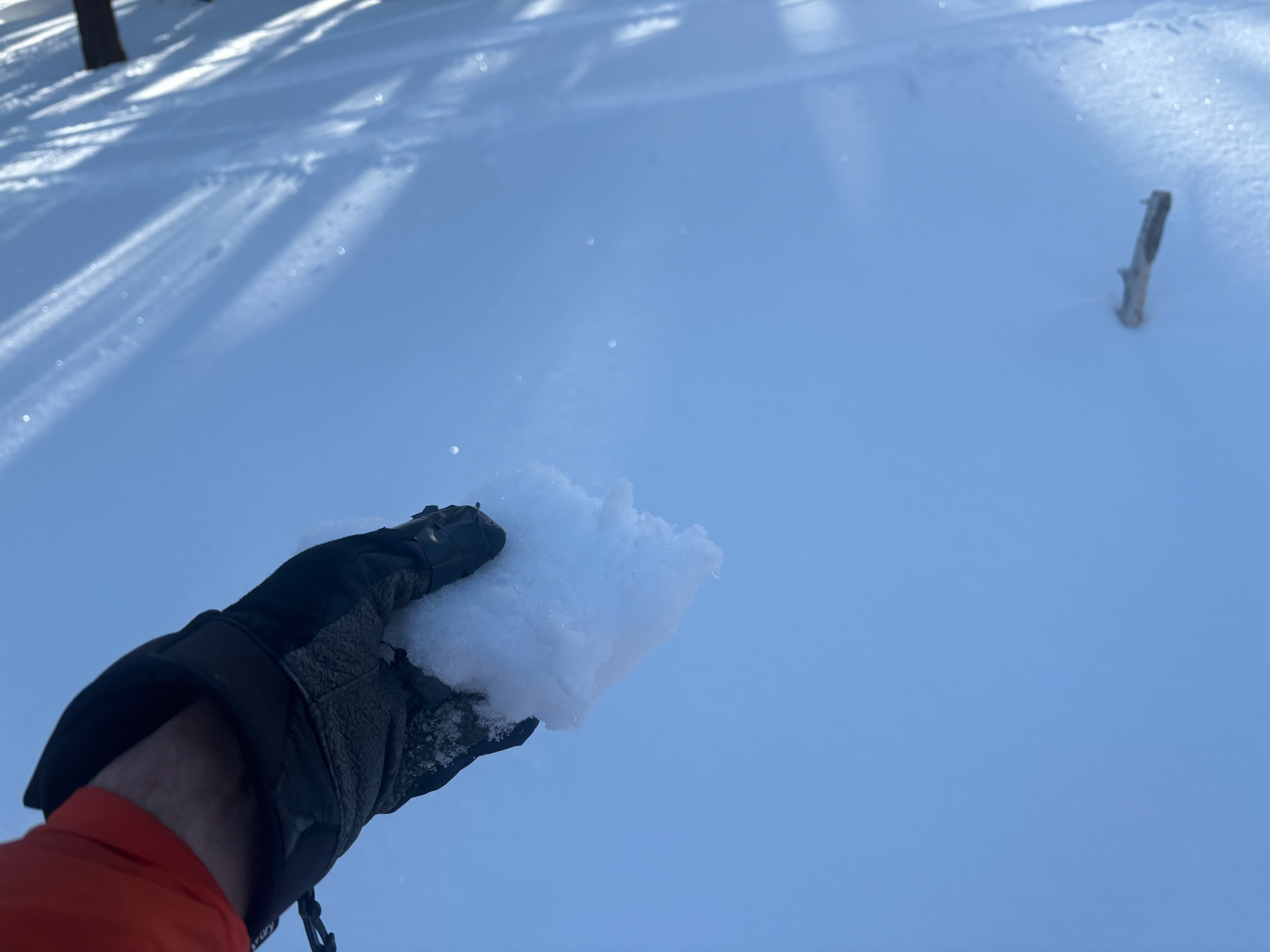
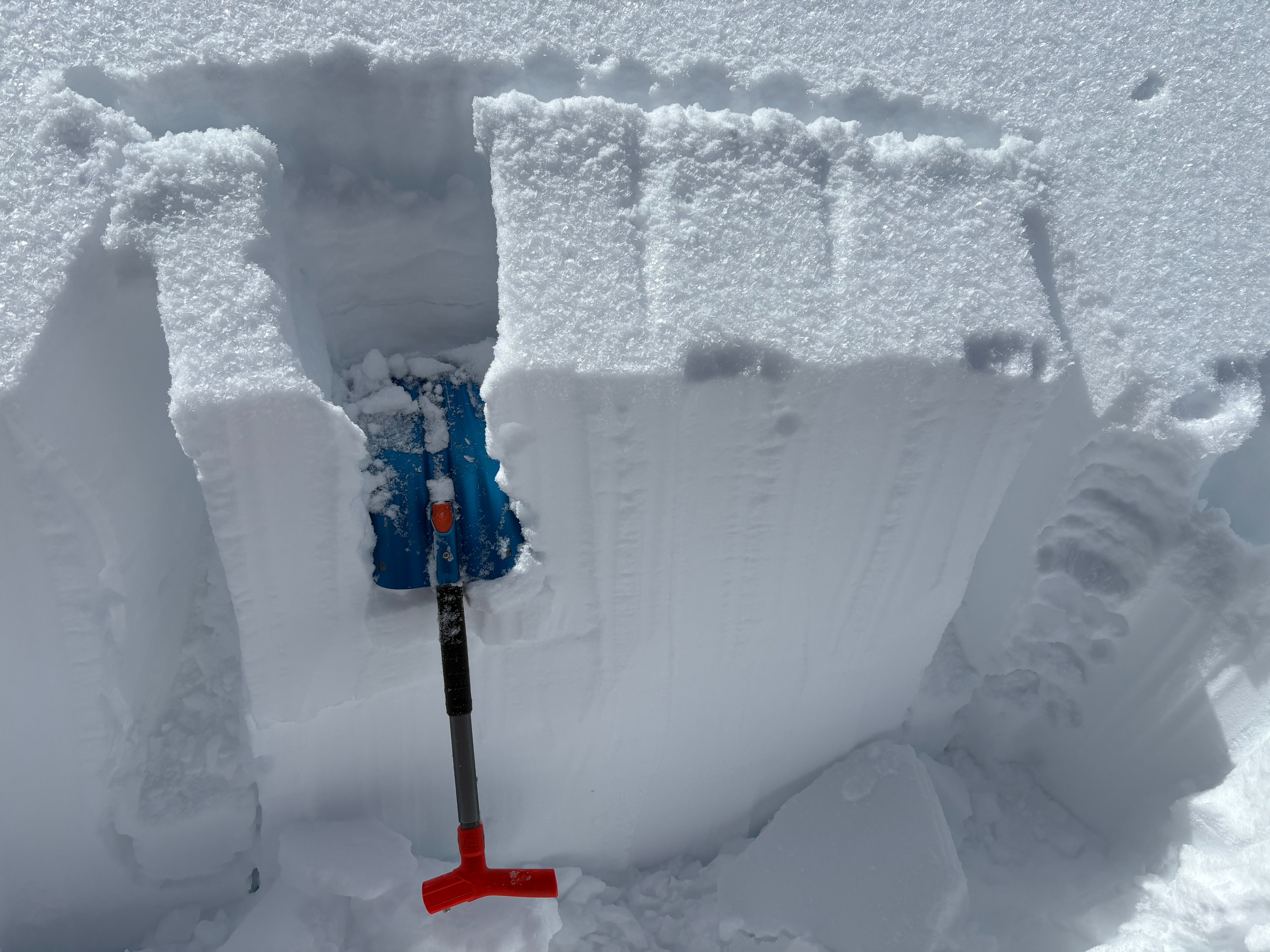
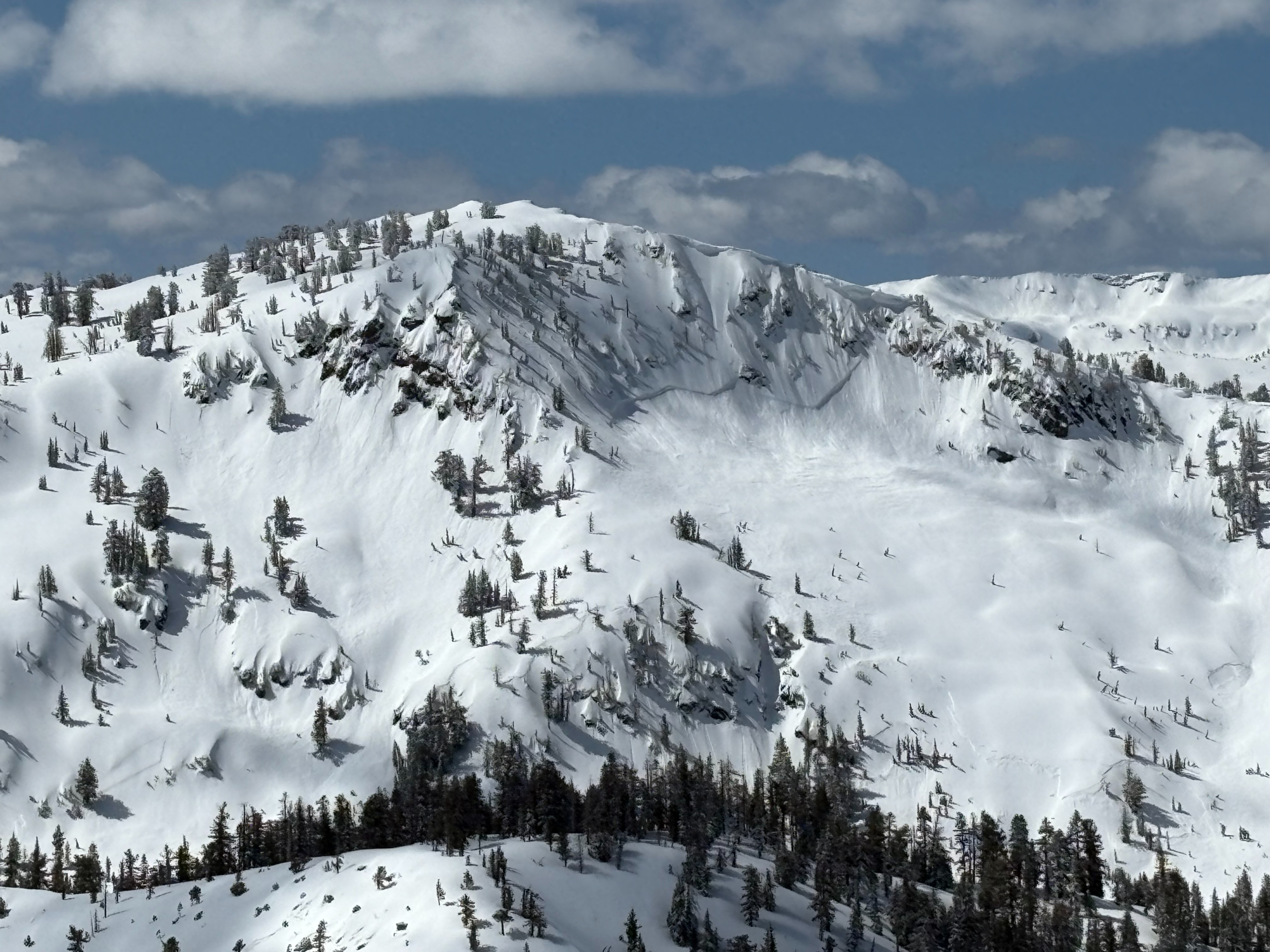
We went to Rubicon Peak to look for any lingering instabilities in the storm snow after the reported avalanche on nearby Peak 9269'. We observed many previous natural avalanches throughout the area from during or just after the recent storm cycle (Tuesday night-Wednesday morning time period). Around 2 feet of cold unconsolidated snow existed on steeper northerly aspects and even easterly aspects held good snow through the late morning. Some sun crusts formed from yesterday's warming on lower angle sun exposed slopes and lower elevation northerly aspects. The density change within the storm snow that has been seen throughout the forecast region was less pronounced here and informal observations along with snowpack tests did not show any signs of lingering weakness. On sun exposed slopes, wet loose avalanche activity was observed by midday on steep slopes originating from rock features. Wet snow instabilities are expected to increase over the next few days as more solar radiation and warming temperatures occur.