
Quick report
- Cracking
- specific
Weather
- Cloud Cover
- overcast
- Wind Loading
- moderate
- Rain Elevation
- Below 6000'
- Recent Snowfall
- 25
- Snow Avail For Transport
- moderate amounts
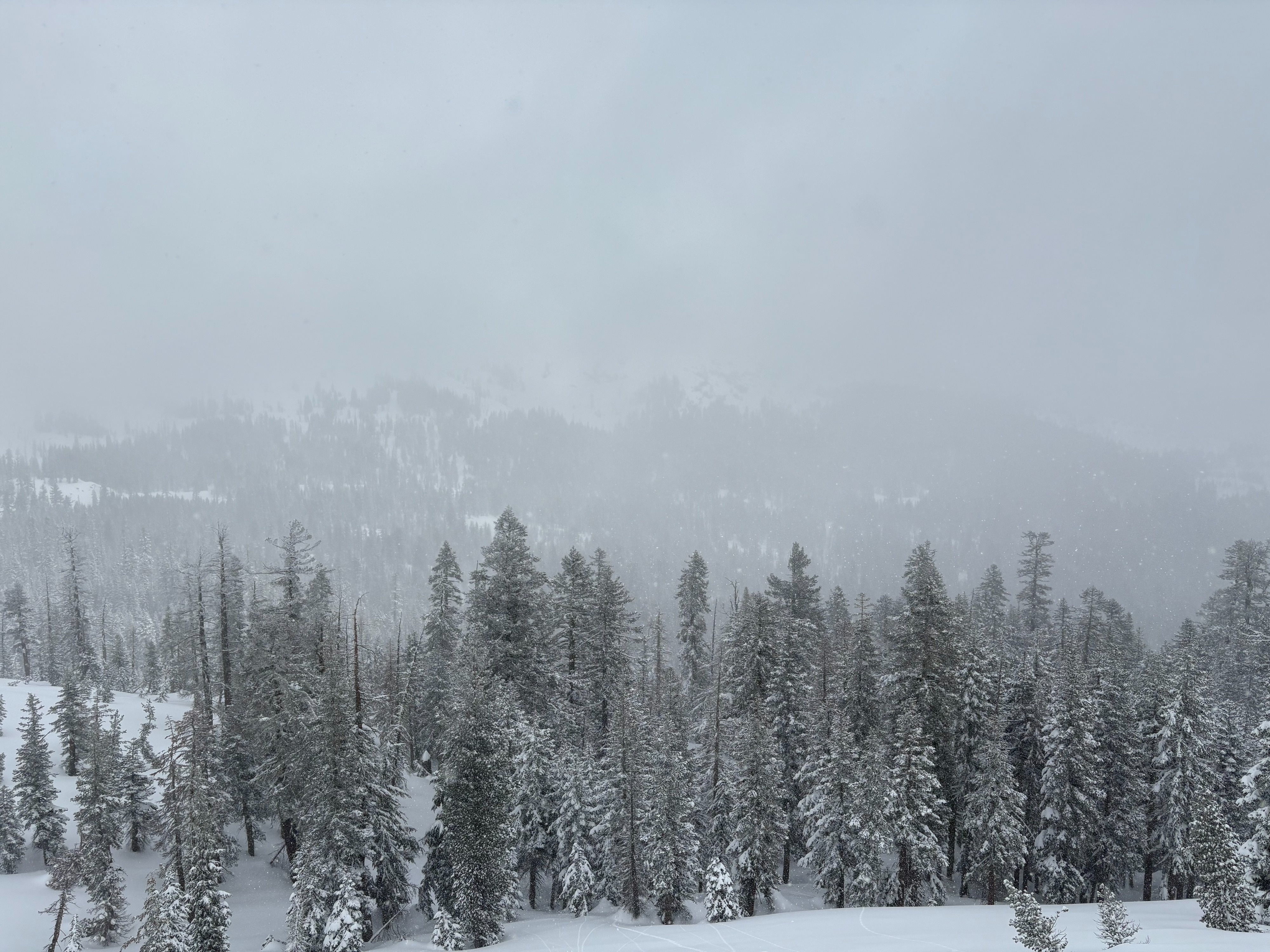
Cloudy skies with mostly light snow showers throughout the day with some heavier convective snow bands. Cold temperatures with moderate SW winds.
Snowpack
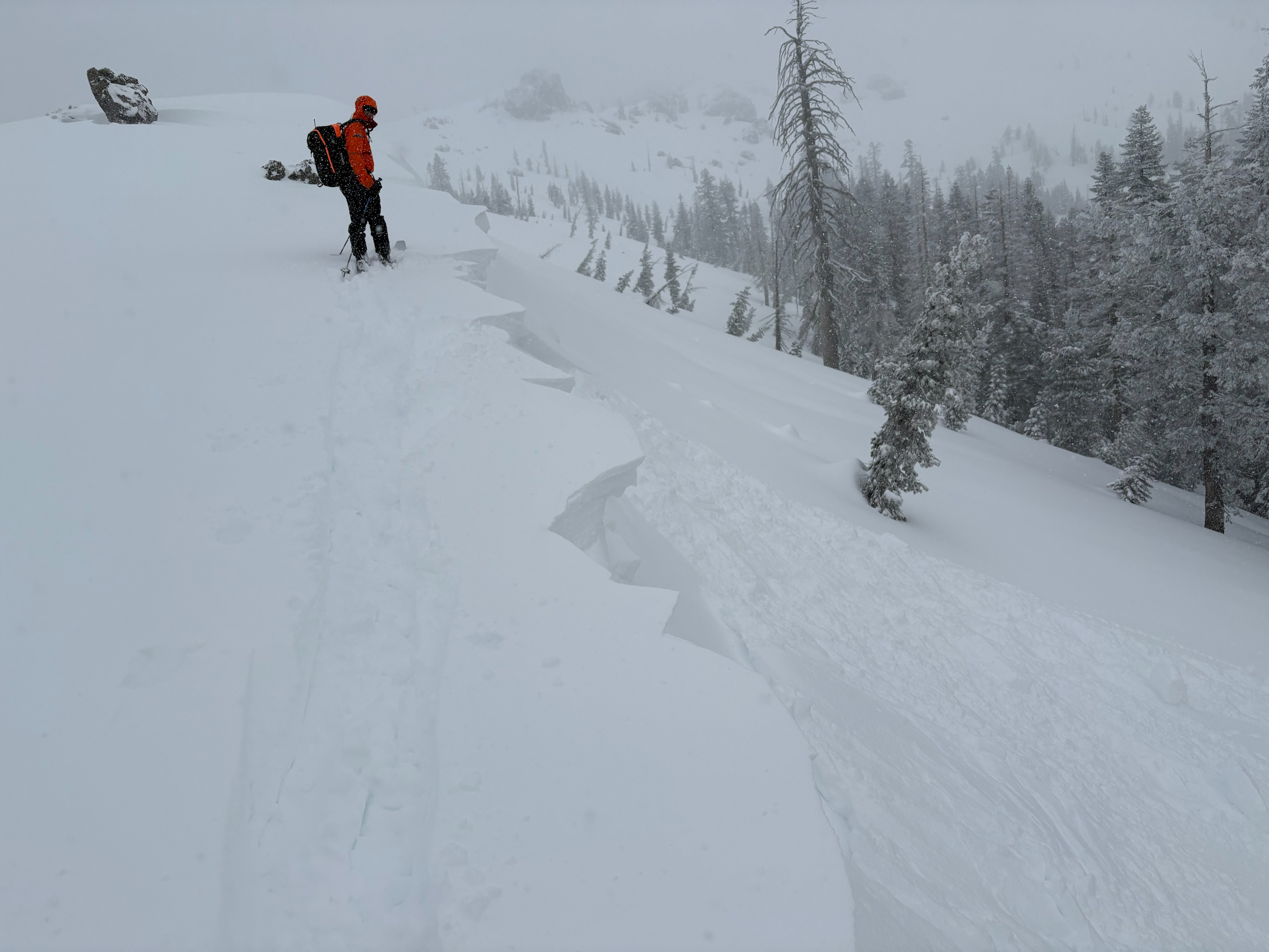
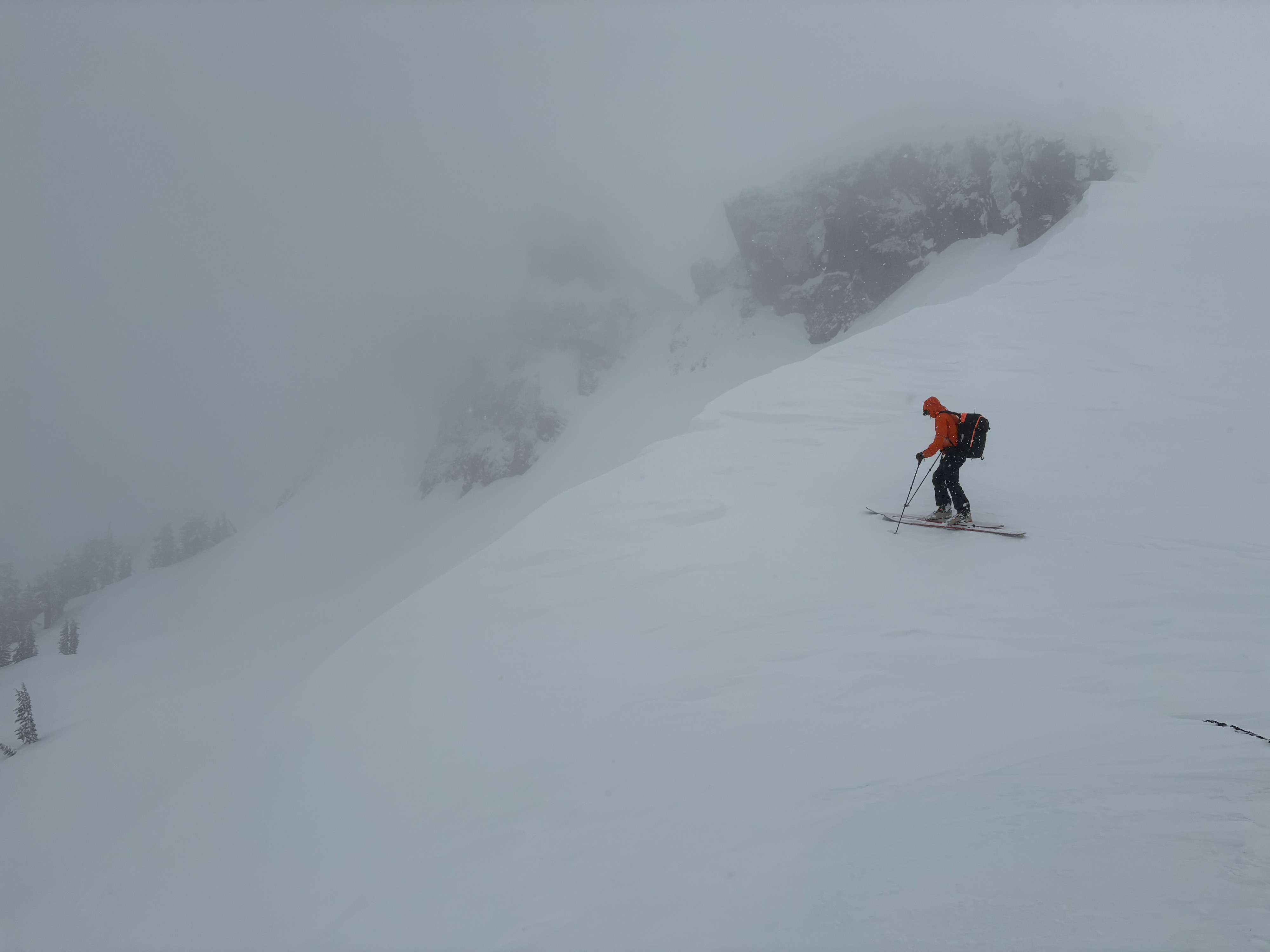
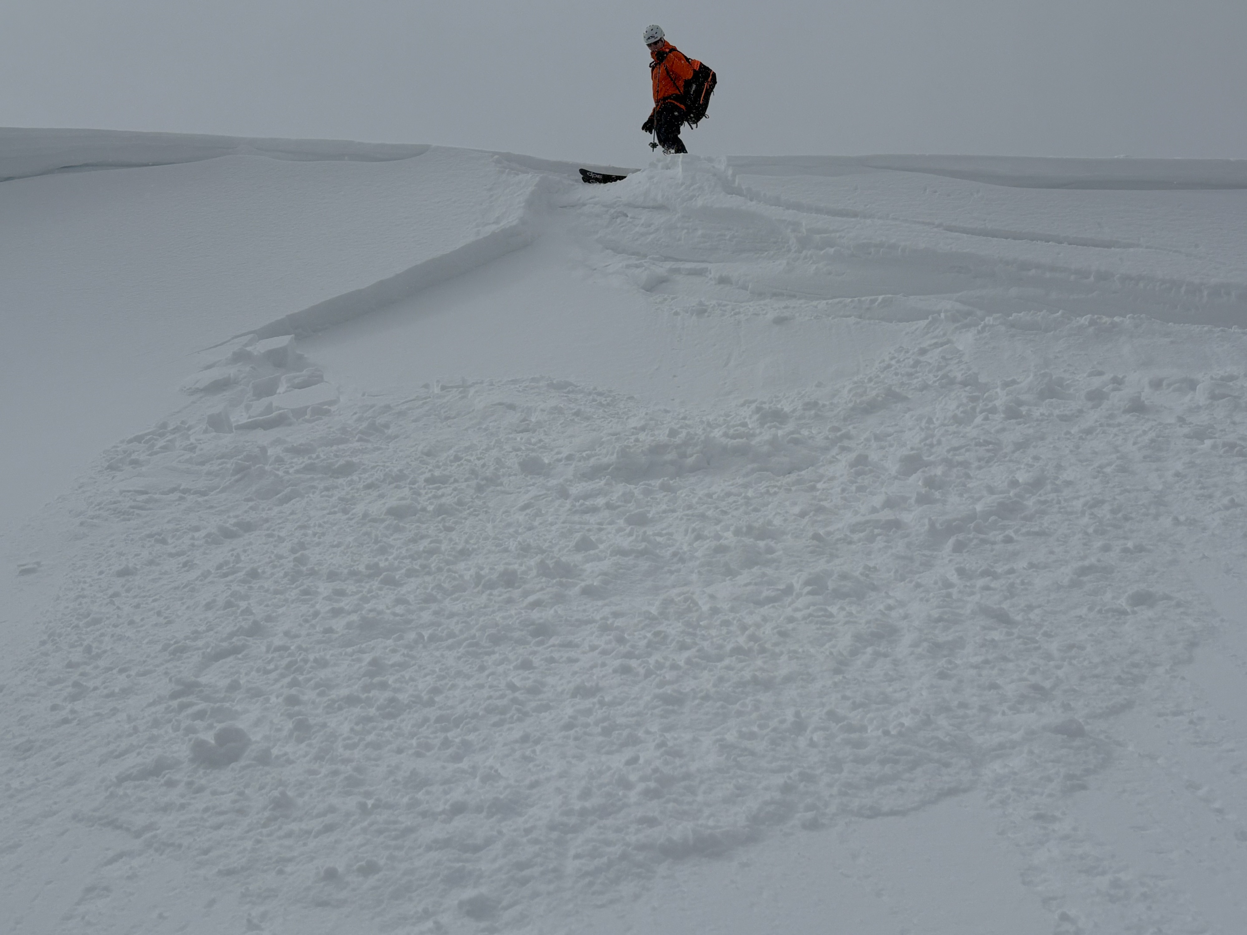
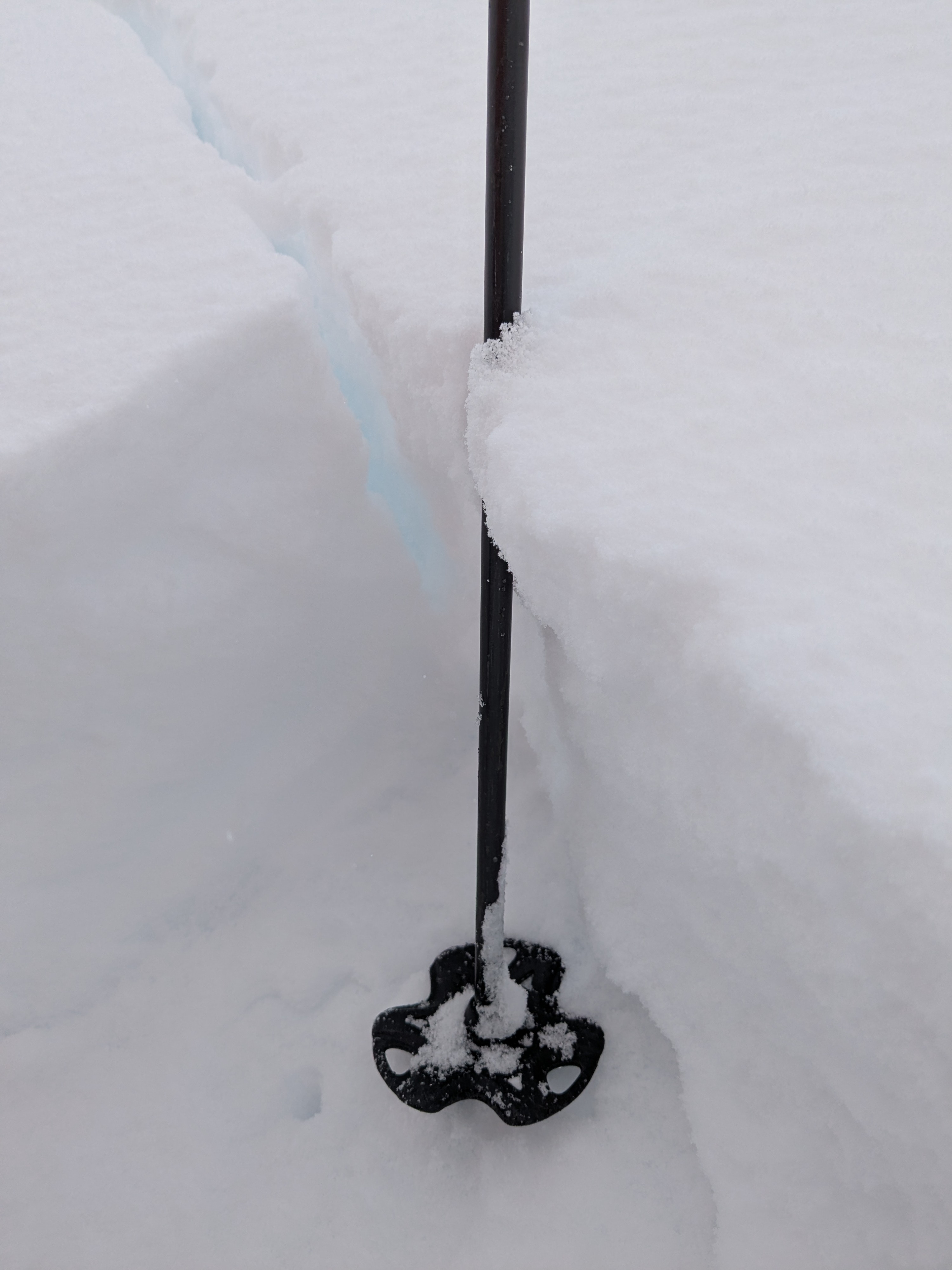
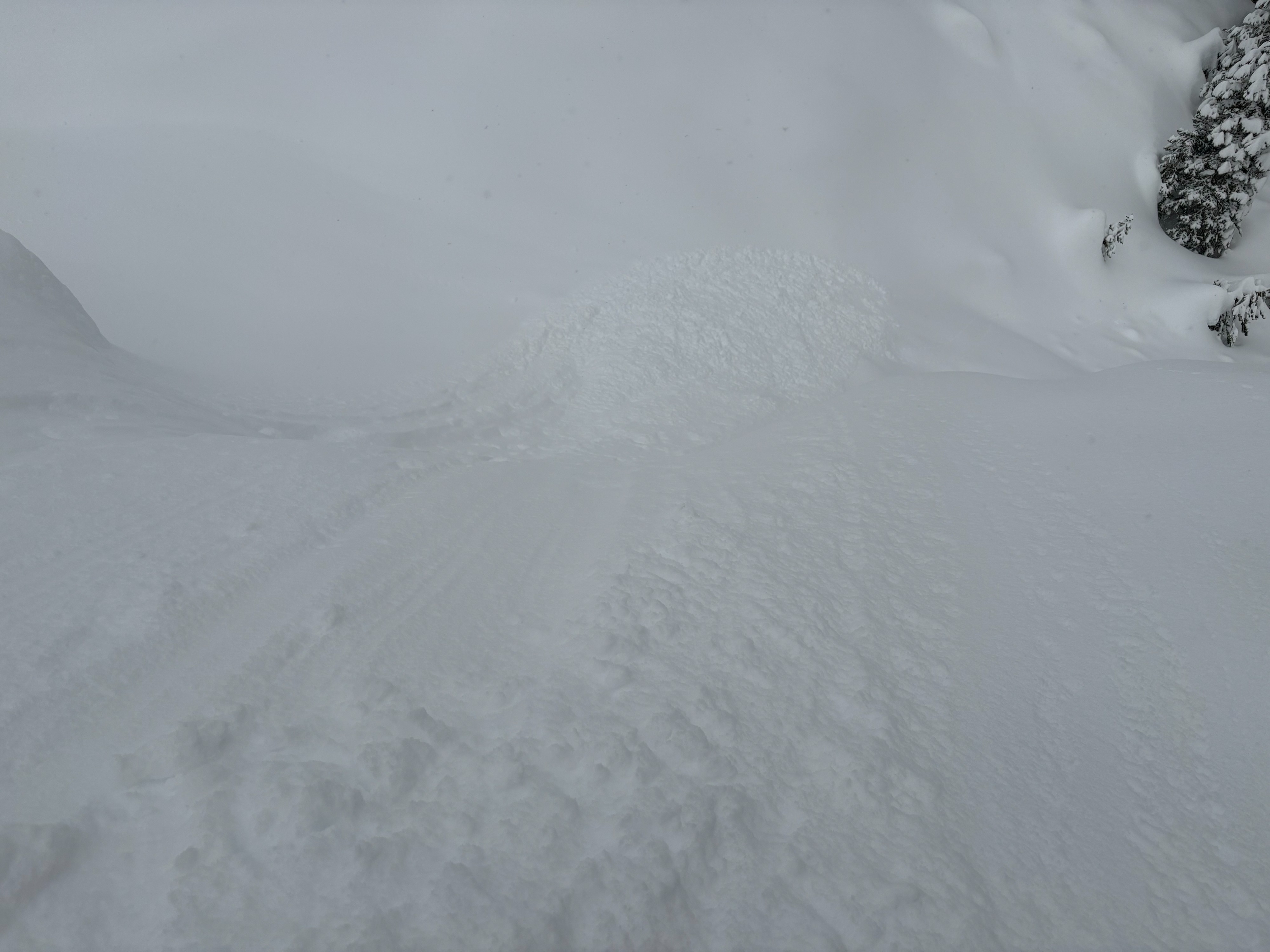
We made observations in the Castle/Andesite Peak areas today. 6 inches of new snow was found at the trailhead at 7200' with up to 8 to 10'' at higher elevation locations near and above 8000'. This new storm snow was low density and cold. Snow surface clues and freshly built out cornices were signs that SW winds were strong and transporting snow overnight. Cornices were fragile and would easily collapse with a ski kick. Wind slabs were soft (4F to F+) and were up to around 1' deep at most locations. These wind slabs did propagate in some areas, but we also observed many loose snow avalanches from cornice drops and ski kicks. Most wind slabs were found just below ridges and cornice features and all we saw today were small in size (D1). Some small dry loose sluffing was also noted in steep wind protected areas involving the top few inches of the new storm snow. Visibility was poor and limited in larger and more wind loaded terrain at higher elevations.