
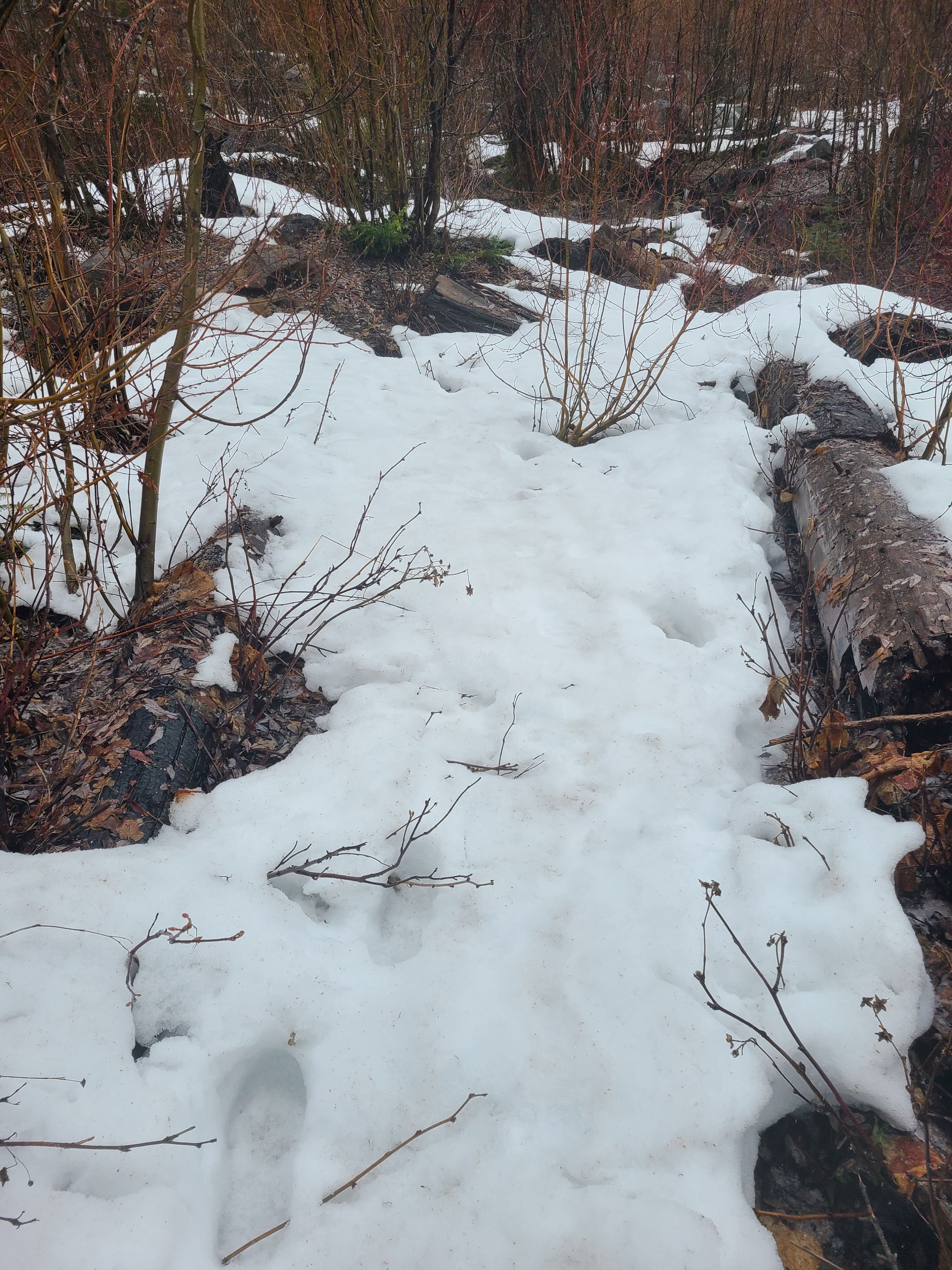
Quick report
On this rainy day, I swapped my ski gear for trail gear and went out to check on the snowpack, or lack thereof, at lower elevations in the Icicle River Drainage. My goal was to assess lower elevations for snow depths that would meet the threshold for avalanches. I did not find enough continuous snow for avalanche hazard at these lower elevations.
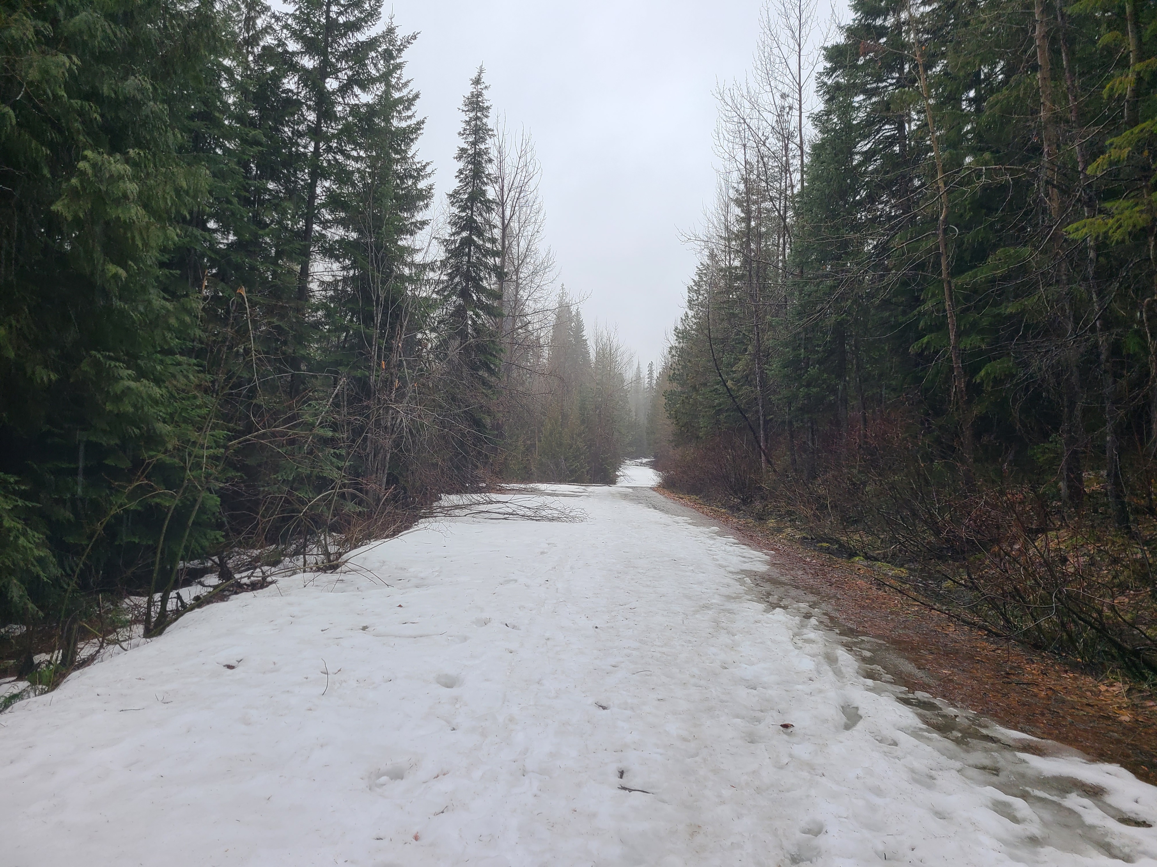
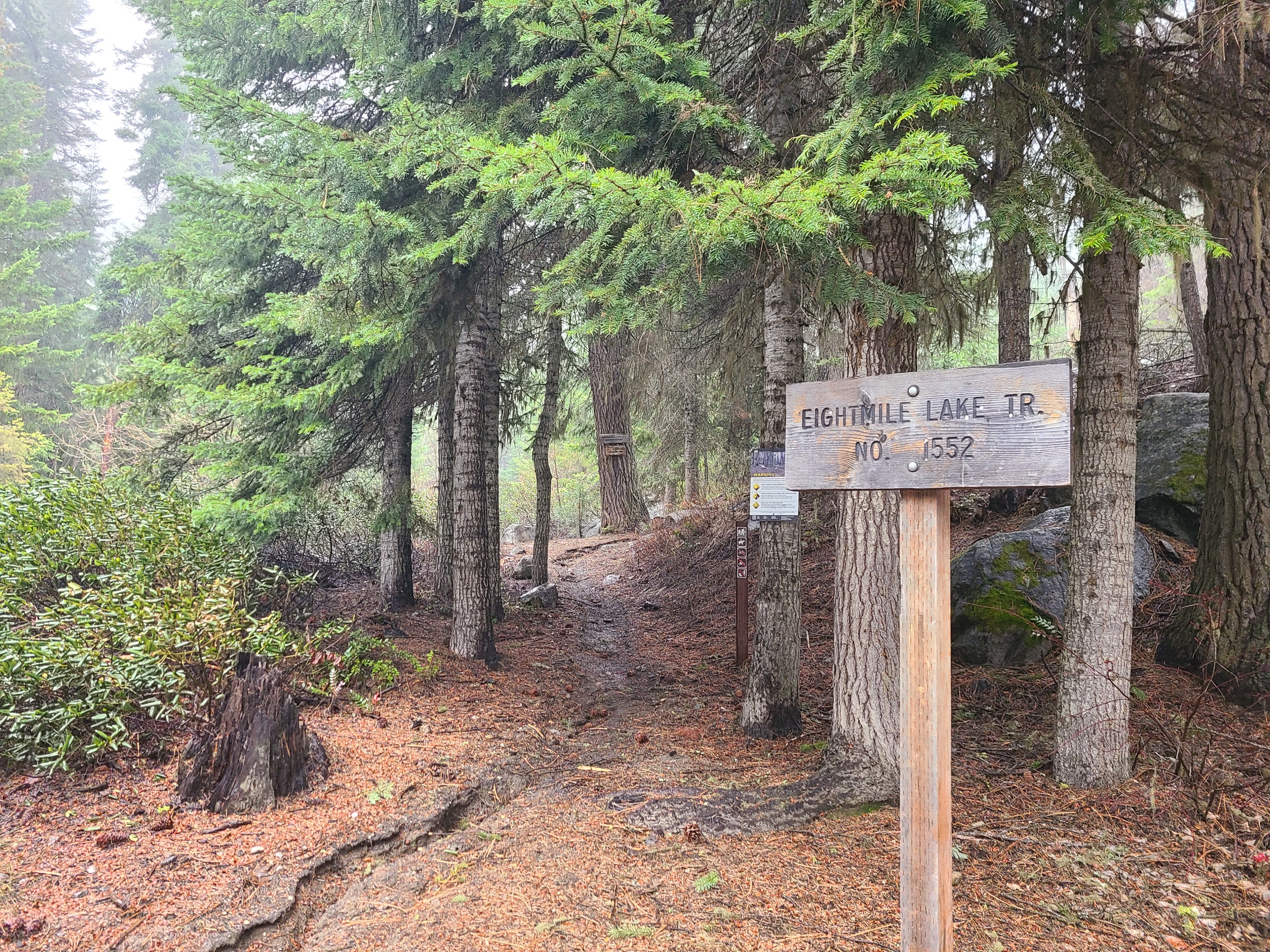
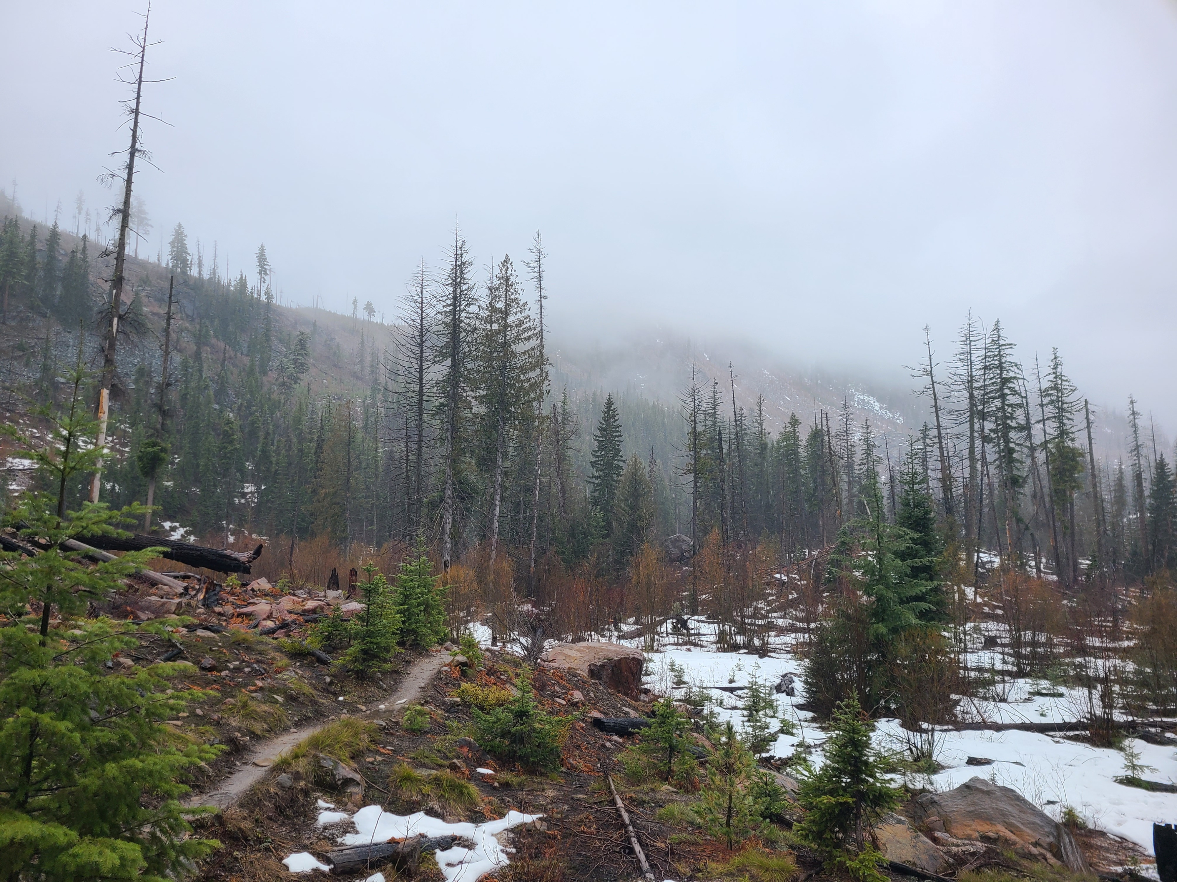
Eightmile Road has intermittent snow starting around 3000ft. At the trailhead to Eightmile Lake, I found bare dirt or standing water, but no significant snow. Patchy snow began around 3600ft on the summer trail. At around 4000ft, snow patches were still very discontinuous, but post-holing up to my knees was becoming tedious. I persevered until about 4200ft, where I was able to get glimpses toward the north aspects, closing in on 5000ft, which showed mostly bare ground.
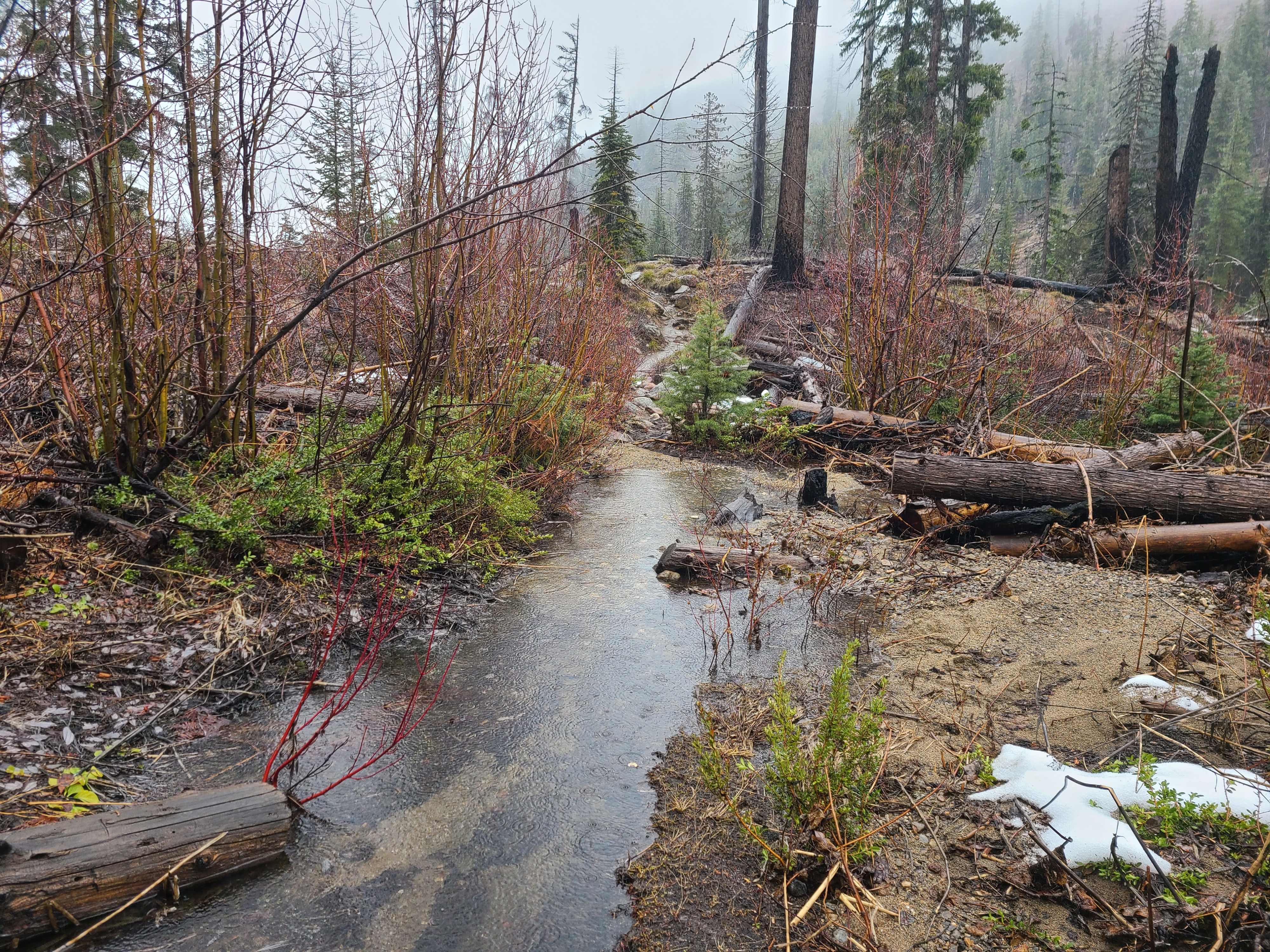
A significant amount of our snowpack is now in liquid form, leaving our mountains via creeks and rivers. There weren't many flat surfaces in the terrain without standing water.
Weather
- Recent Snowfall
- trace above 4000ft
- Snow Avail For Transport
- none
Heavy rain was the primary story of the day. I didn't experience much wind, but also stayed in the river and creek drainages.