
Quick report
- Cracking
- isolated
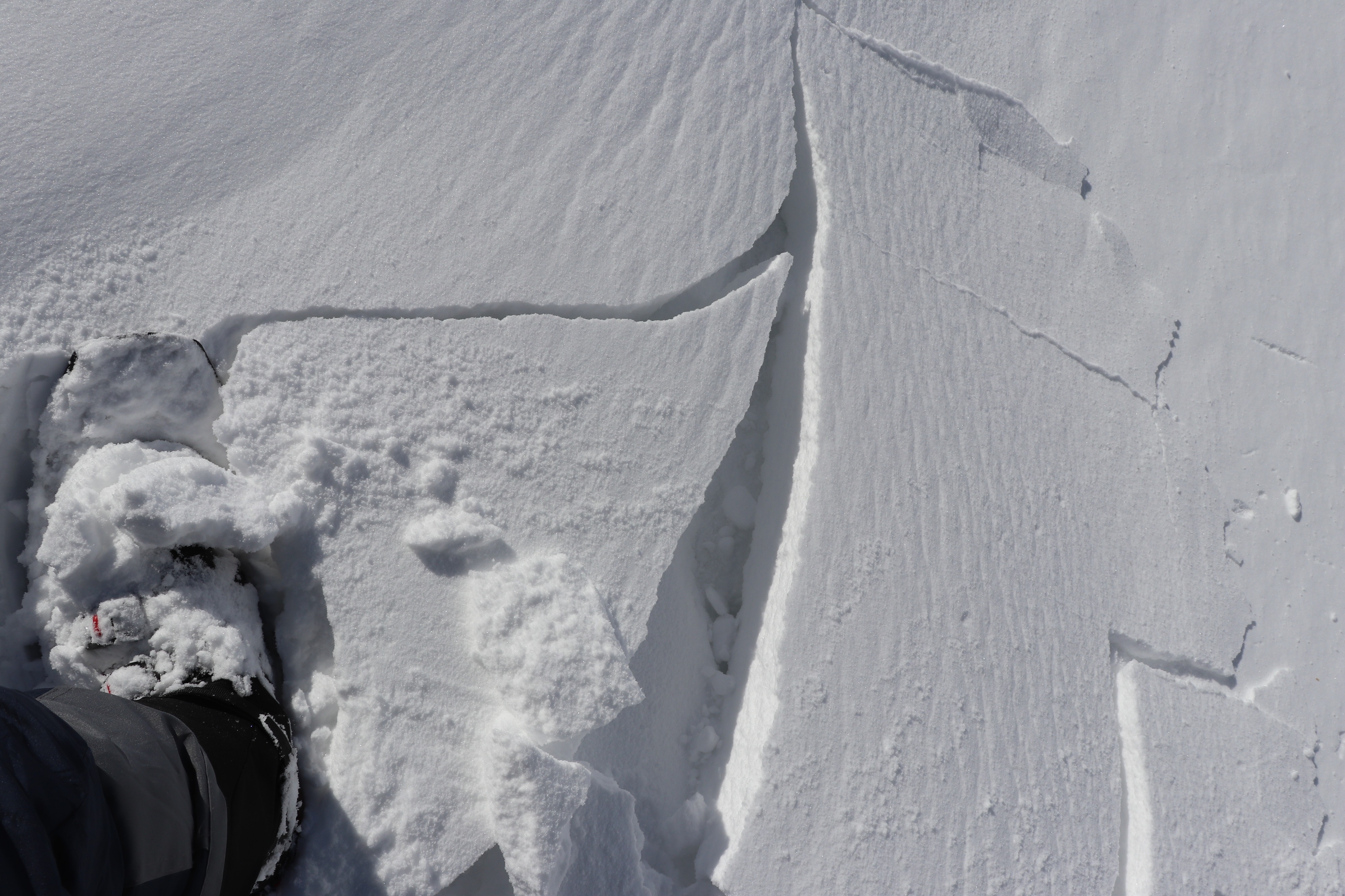
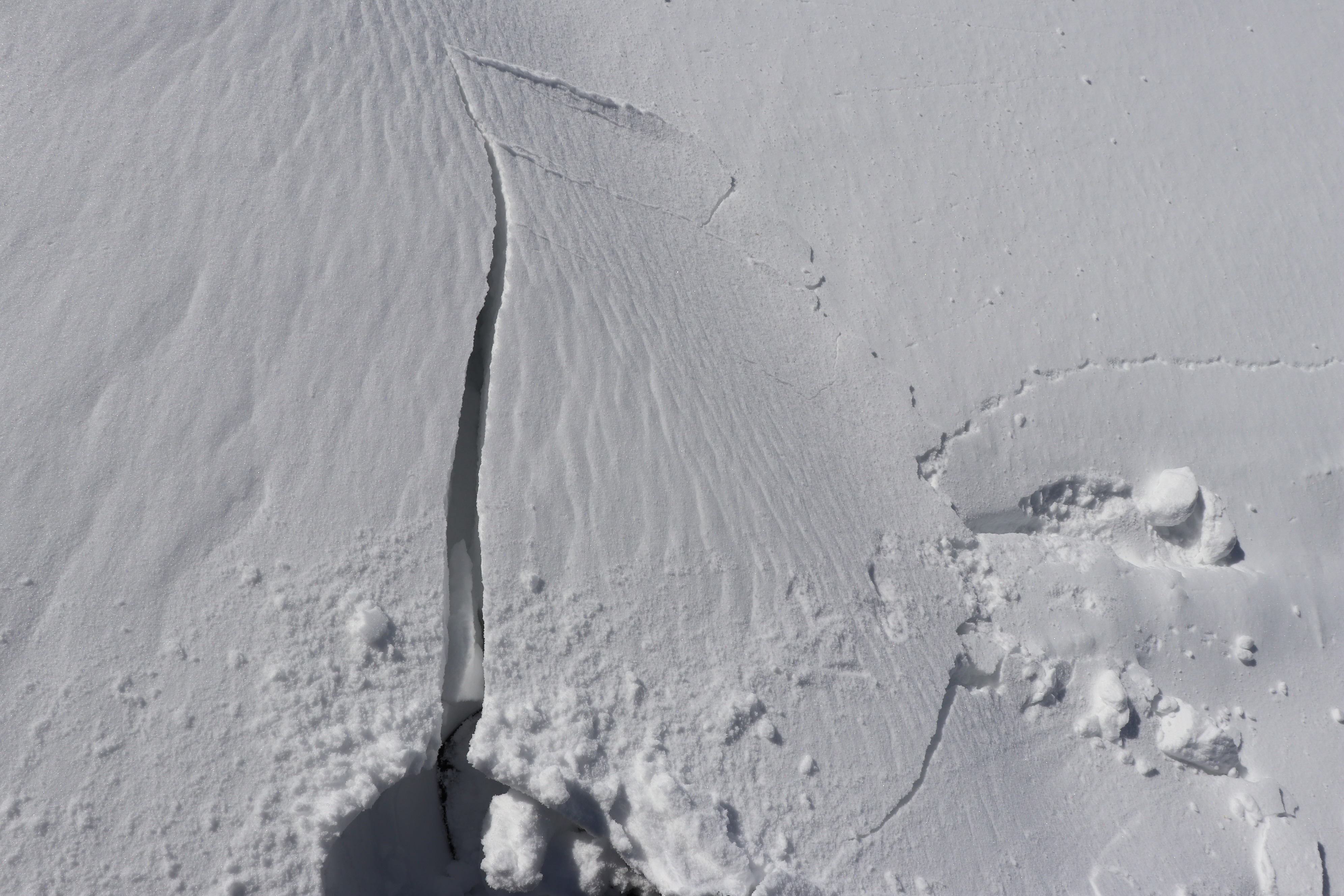
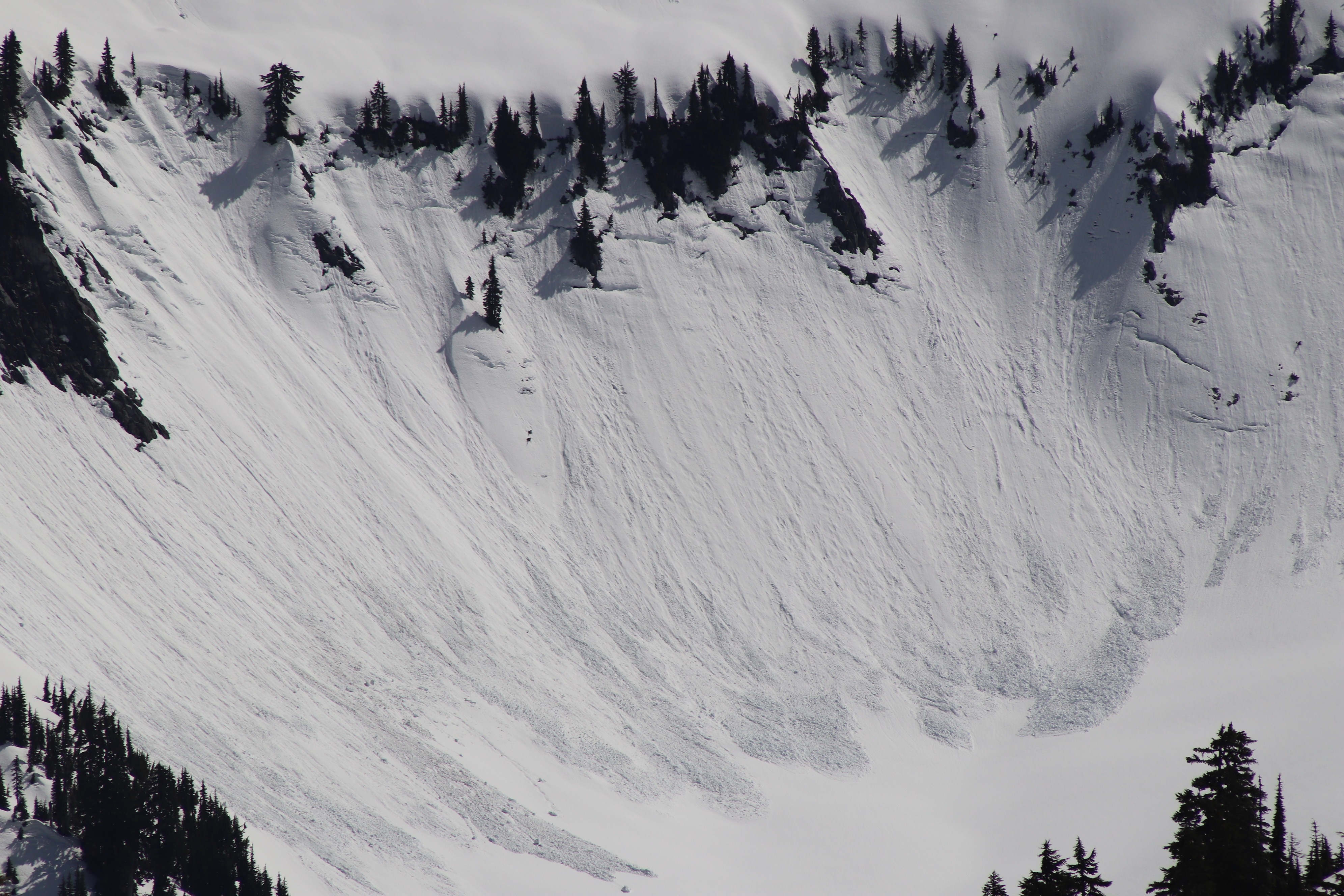
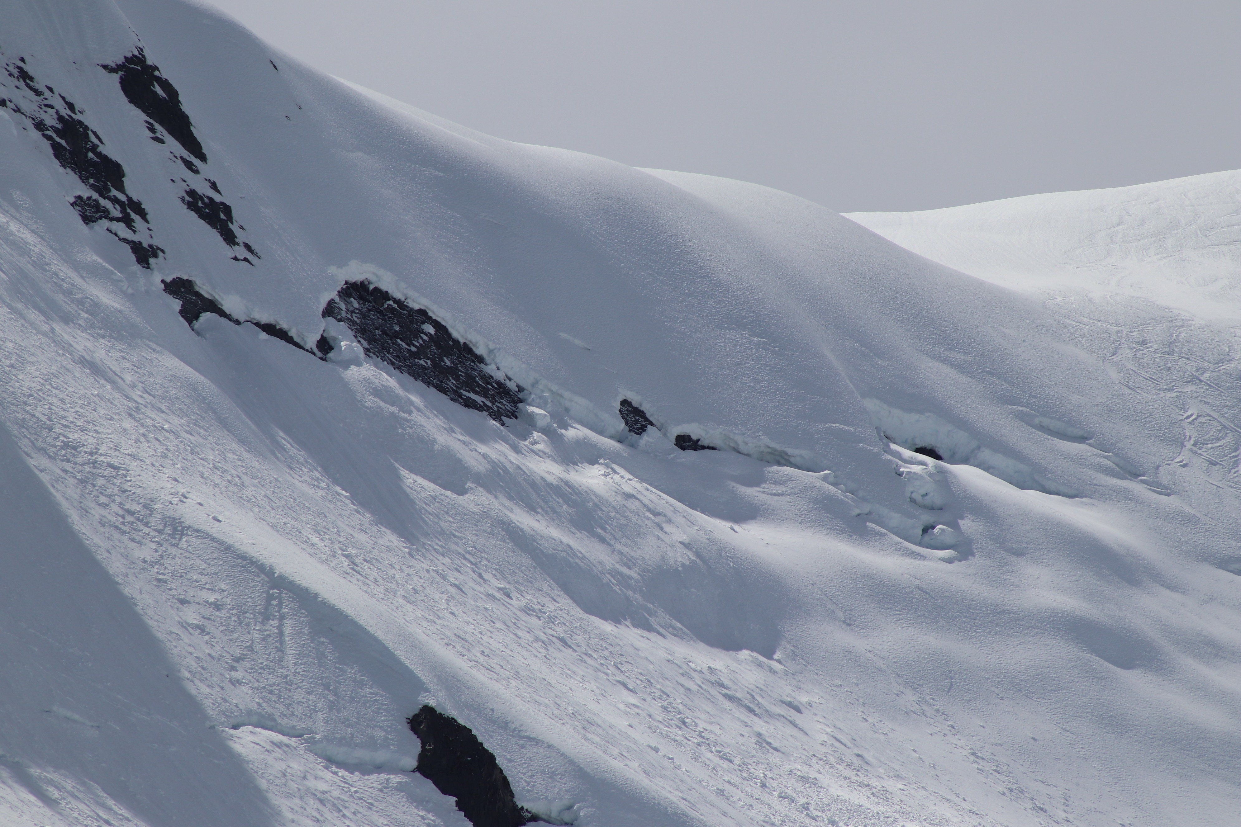
It was a pleasant spring day out, with even a little surprise new snow, about 1 inch above 4500 feet from showers yesterday evening. Light to moderate north winds were observed, and had produced isolated drifts, and even a few reactive slabs on test features. The underlying melt freeze crust softened in the afternoon, despite cooler temperatures I could easily break through this crust on southerly aspects around midday into the underlying melt forms. Plenty of earlier and old wet avalanches were observed likely from Monday 4/19 when temperatures reached above 60 degrees, however nothing was large or particularly impressive was seen. There are plenty of glide cracks out there, which may fail with another period of very warm temperatures. I felt avalanche danger was low in most cases on this day - unless you were in complex terrain with a fresh wind slab up high or traveling through underneath large and suspicious looking glide cracks, blocks of snow perched on a rock. Moderate northeast winds and around 1 inch of new snow formed 3-6 inch thick slabs, which showed the ability to crack and propagate on test slopes. Slabs were small and isolated, but may be present in more complex upper elevation terrain that a small slab may have higher consequence.
Weather
- Air Temp
- Mid to upper 30s
- Cloud Cover
- few
- Wind Loading
- light
- Rain Elevation
- 4000
- Recent Snowfall
- 2
- Snow Avail For Transport
- small smounts
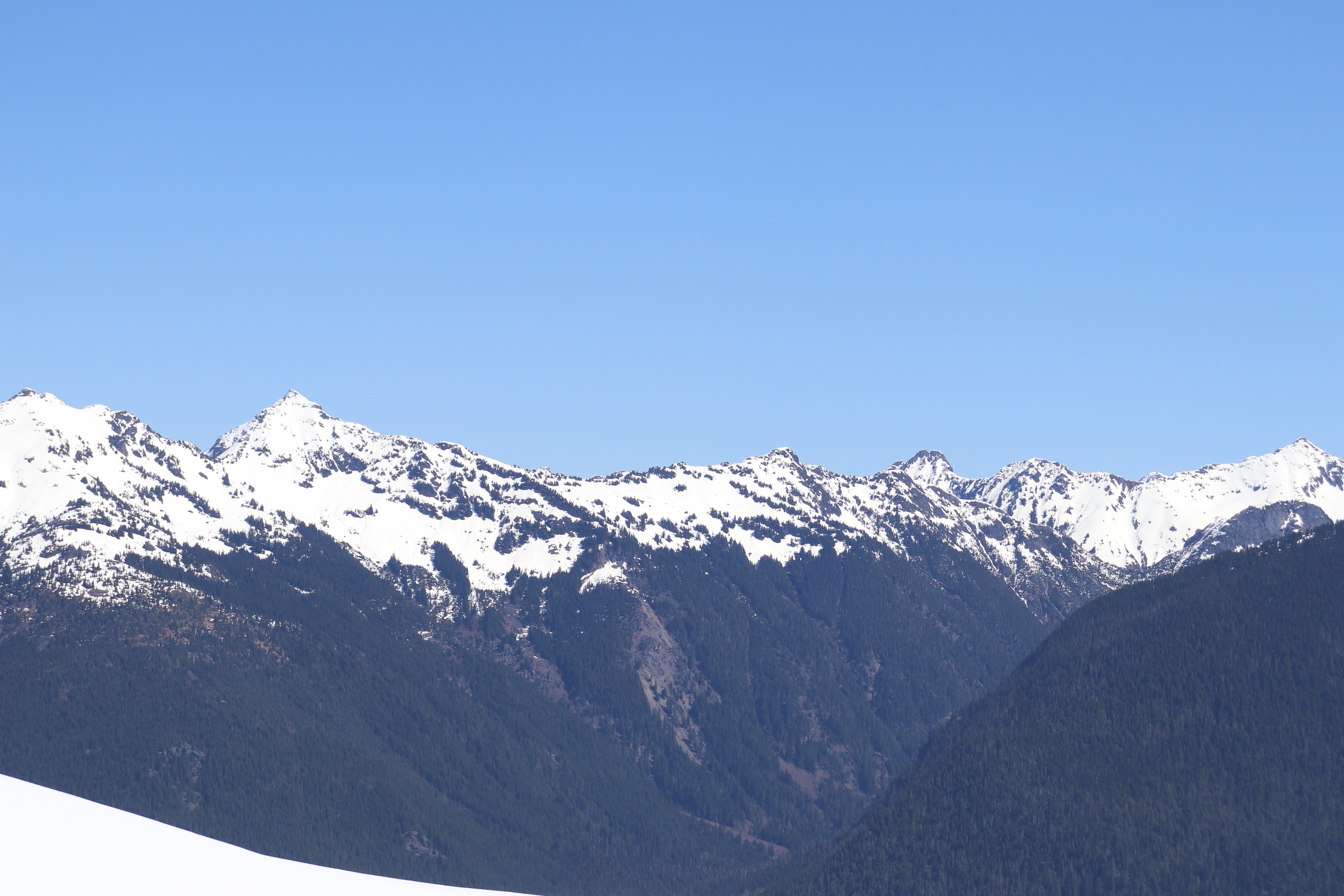
Skies were clear and bluebird much of the morning in the baker backcountry area and north of 542, with cumulus building distantly to the south over the mountain loop. Some high thin clouds arrived in the afternoon. Light to moderate northerly winds kept temperatures cool.
Snowpack
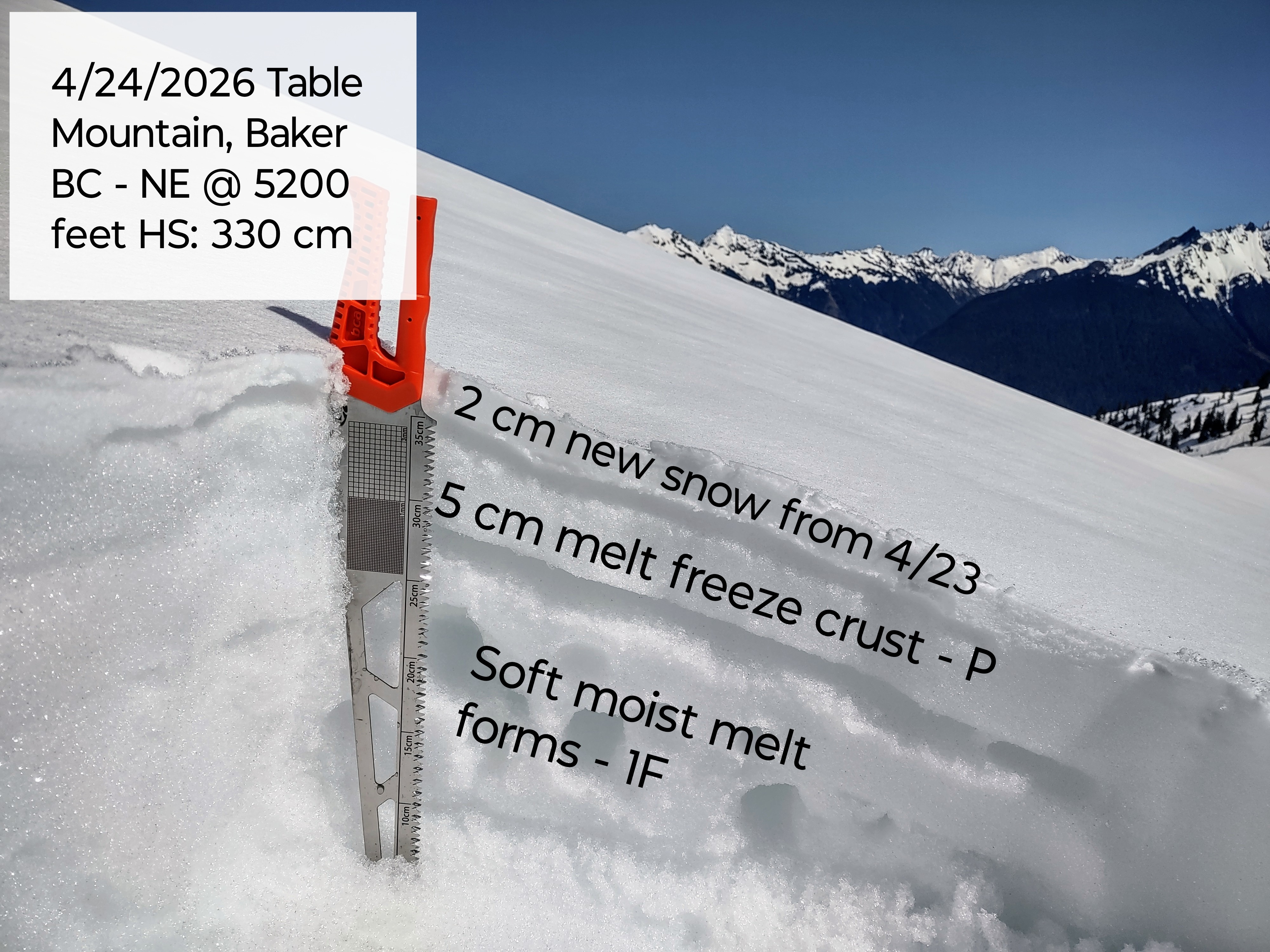
A surprise 1 new inch of snow (2 cm) fell Thursday evening 4/23 with northerly winds producing isolated drifts up to 6 inches at 5000 feet. Below this, a 5 cm melt freeze crust existed on all aspects, which in most cases was exposed by the wind. I did find a few isolated small wind slabs that had formed and were somewhat reactive. Below the surface melt freeze, the snowpack was large moist melt forms and not frozen with more crusts detected with probing below. Most surfaces warmed, but some northerly windward aspects were staying quite firm/grippy even in the early afternoon. When surfaces had warmed and the crust broke down, I could break through the crust easily and the boot pen increased to 10-30 cm. Average consistent snow cover starts roughly around 3800-4500 feet throughout the area dependent on location and aspect, with inconsistent snow patches starting around 3500 feet on 542. Any snow at lower elevations is rapidly disappearing. Snow cover rapidly deepens above the snow line, with around 200-260 cm at the terminal lake lot increasing to over 300 cm at Artist Point.
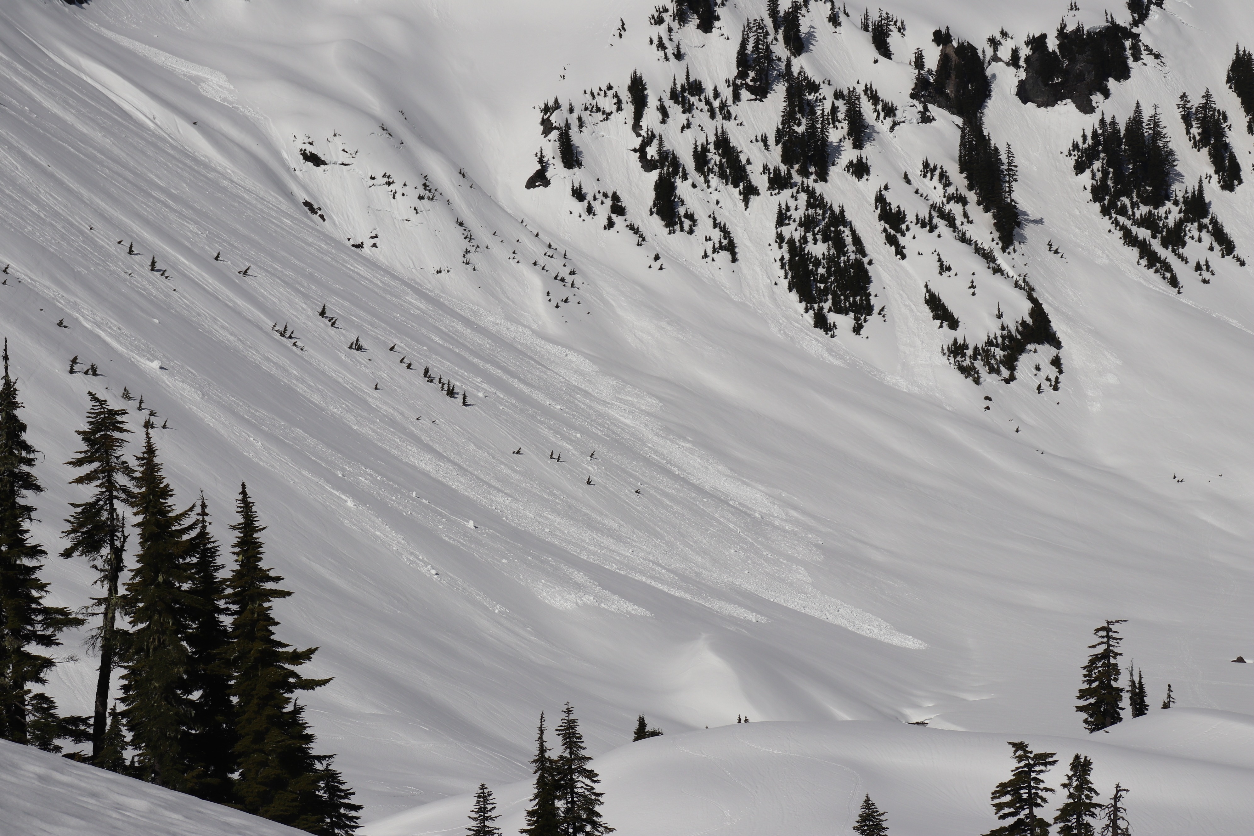
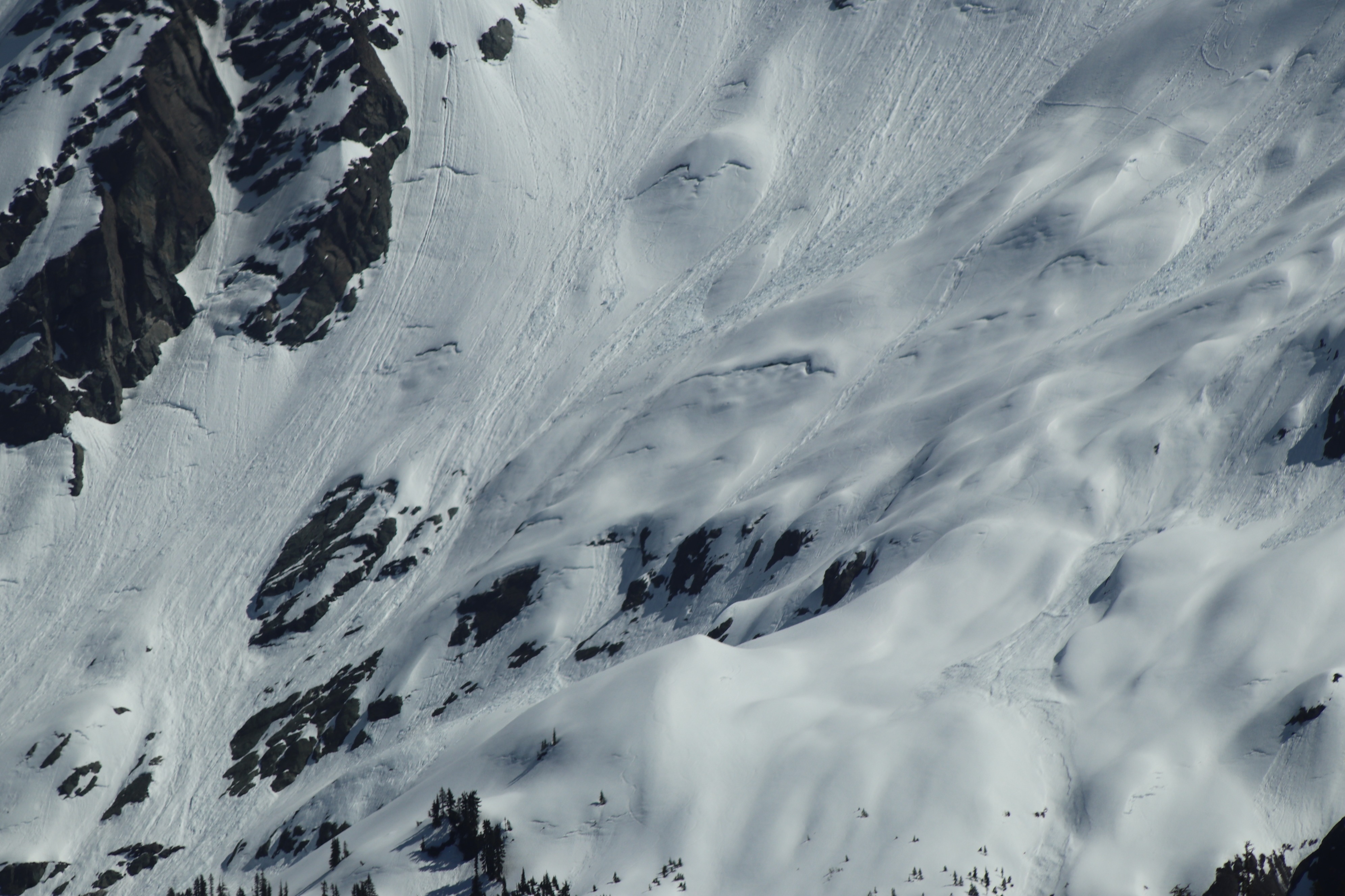
Avalanche
Wet avalanches were observed likely from Sunday 4/18 - Monday 4/19, however nothing was really large. A number of medium size wet loose up to D1.5 in size, with a few scattered D2 out there. There are a number of glide cracks, with possibly a more recent release ( in the past few days ) on the north side of Table Mountain.