
Quick report
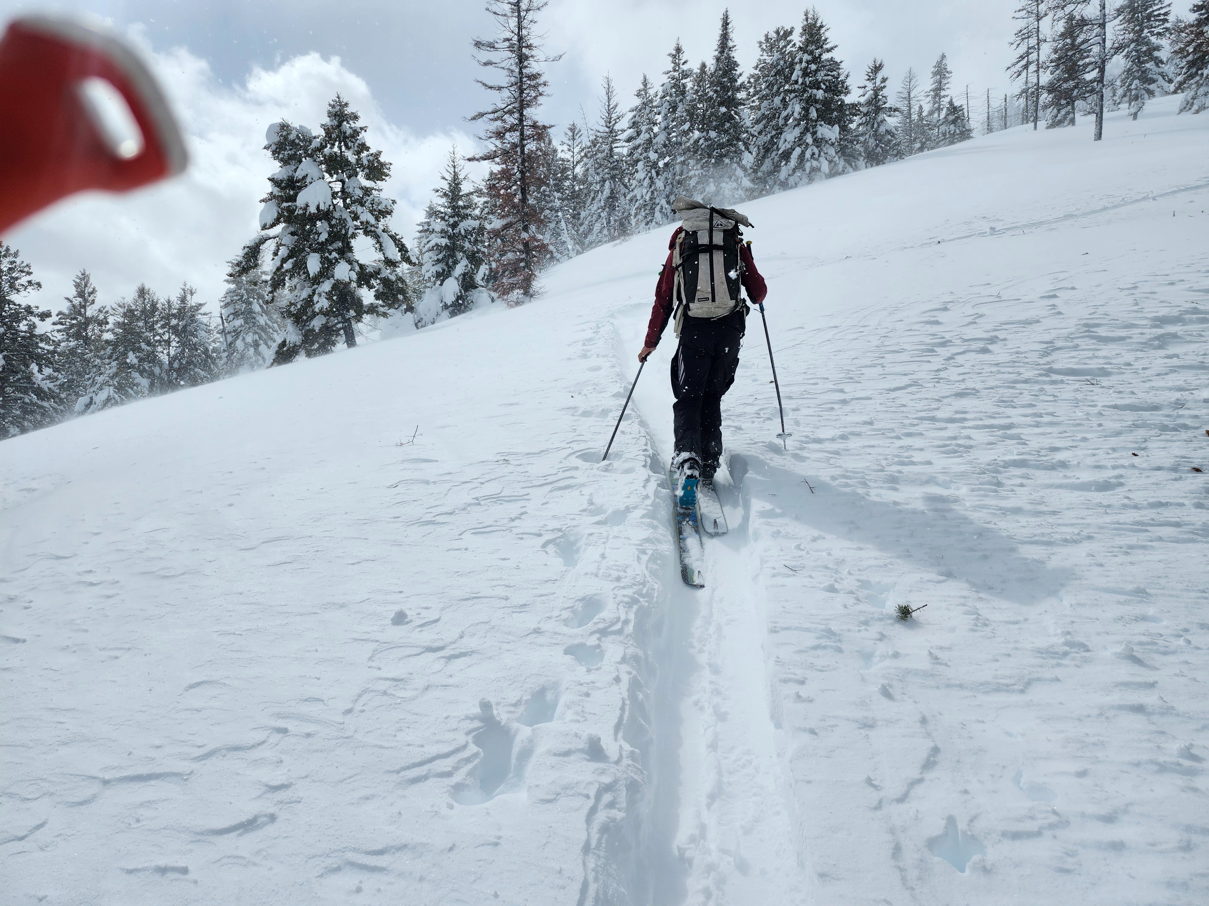
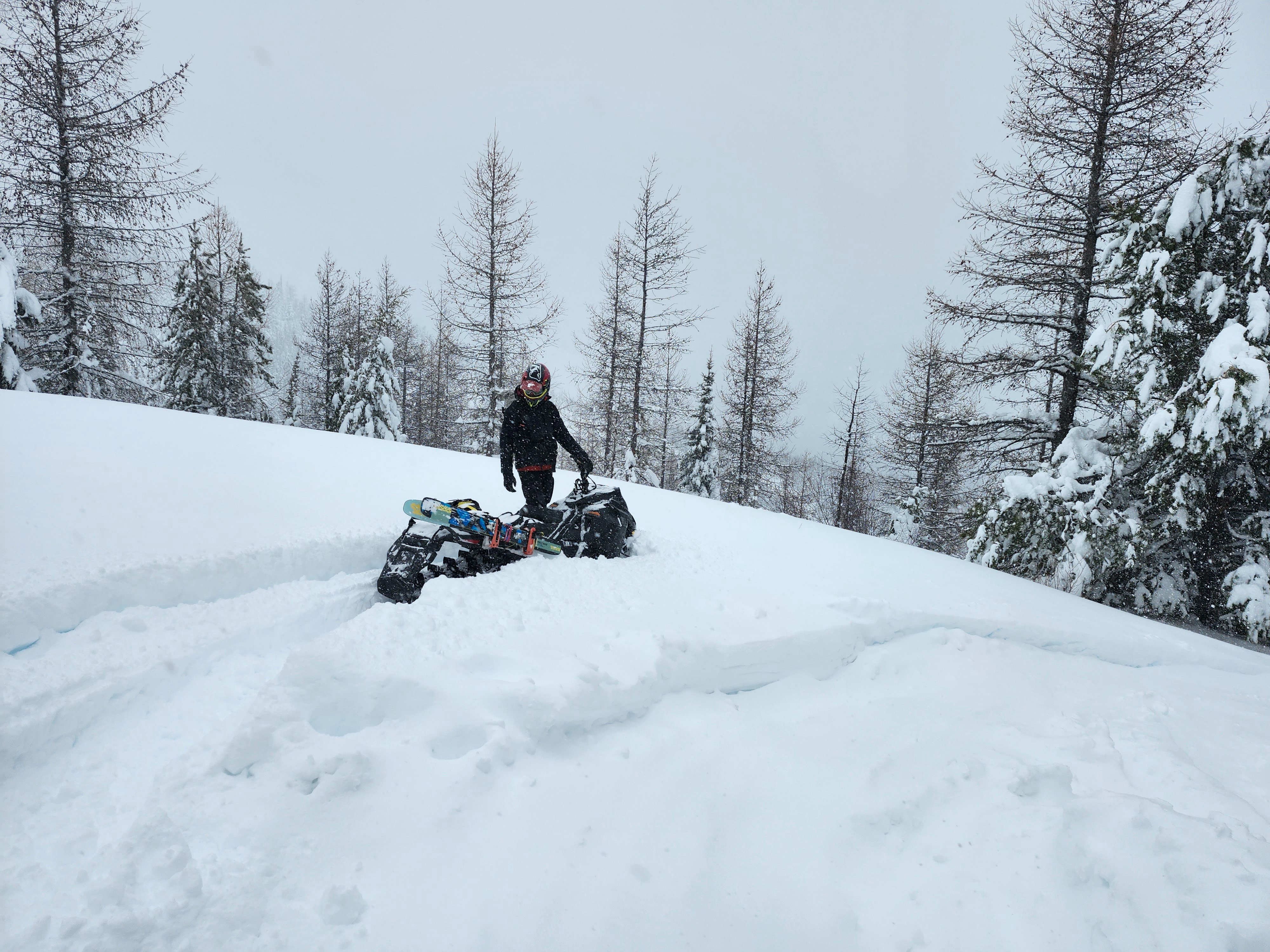
There were six inches of new snow on the ground at the parking lot. By 4200' there was just over a foot of new snow. The top 3 or 4 inches were dry, and the rest was moist. New snow amounts increased from there. Around 5800' we stopped finding the moist layer, and trailbreaking became only slightly easier. Shout-out to the groups that broke trail ahead of us.
The sun came out at times, but not enough to warm the snow surface at middle and upper elevations. Winds blew throughout the day, and we saw evidence of snow transport, though did not get high enough to see substantial windloading.
In the afternoon the snowfall rate picked up again. By the time we got to the parking lot it was snowing at a rate of about two inches an hour! This increased snowfall rate was accompanied by dropping temperatures as a cold front moved through.
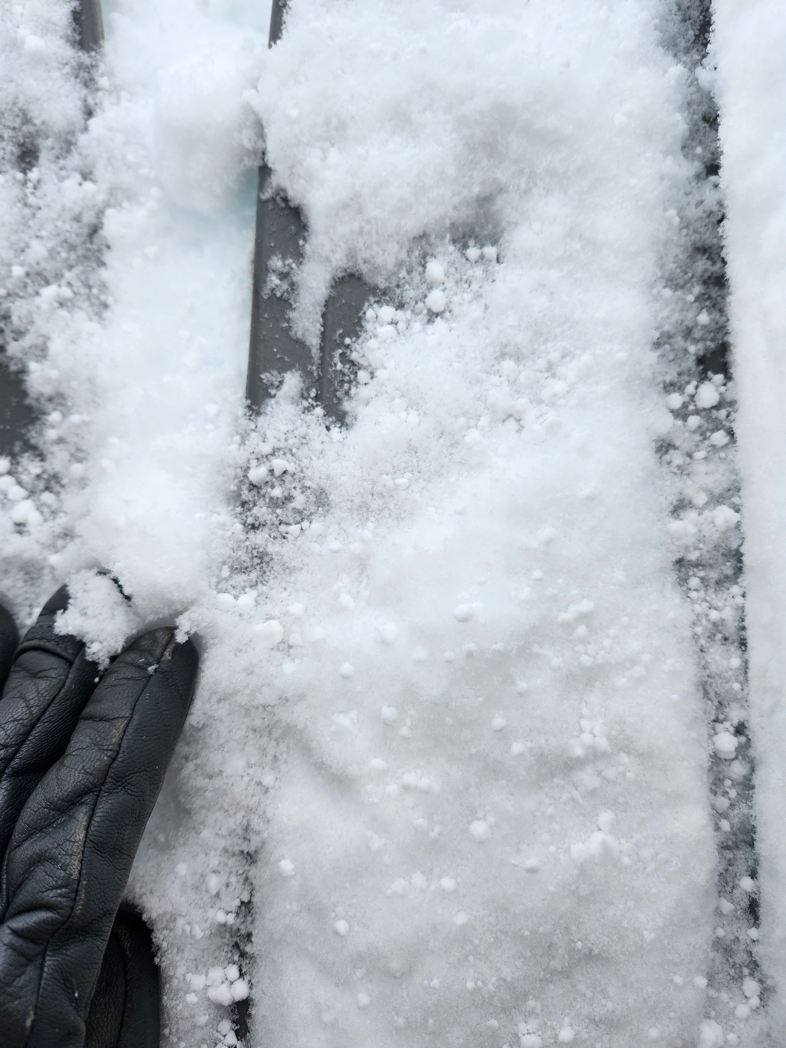
Ski quality was good, and improved throughout the day with the addition of some low-density cold graupel-snow.
Weather
- Air Temp
- Dropped througout the day
- Cloud Cover
- broken
- Wind Loading
- moderate
- Rain Elevation
- valley bottom
- Recent Snowfall
- 100
- Snow Avail For Transport
- large amounts
The sun peeked out at times in the morning and early afternoon. In the later afternoon it started snowing heavily again as temperatures dropped.
Snowpack
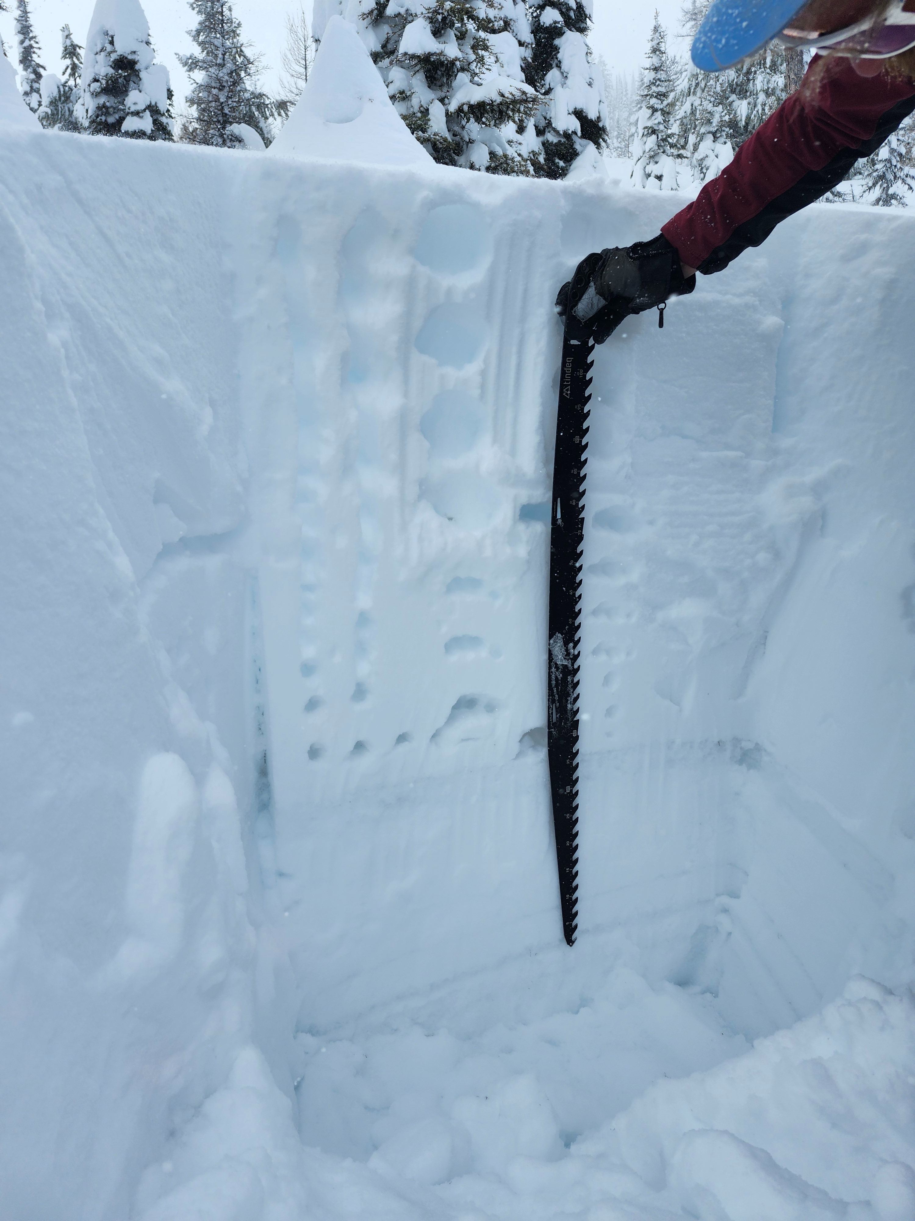
There was between 3 and 4 feet of new storm snow from the past three days. This snow was right-side-up, meaning it was soft near the surface and became increasingly hard towards the bottom. Up until 5800' in elevation the lower 2/3 of the new snow was moist. Above this it was dry.
In three extended column tests, we had one propagating result on the crust at the new/old snow interface (ECTP24 down 100cm).
The new snow sits on old snow that contains a variety of weak layers. We found the January crust-facet combo another foot below the new/old interface.