
Quick report
- Cracking
- isolated
The calm before the storm. Drier avalanche problems up high, we problems lower, and the lingering deep concerns everywhere. Even though conditions we a notch more stable today, the presence of numerous deeper weak layers continued to shape our terrain selection and observations.
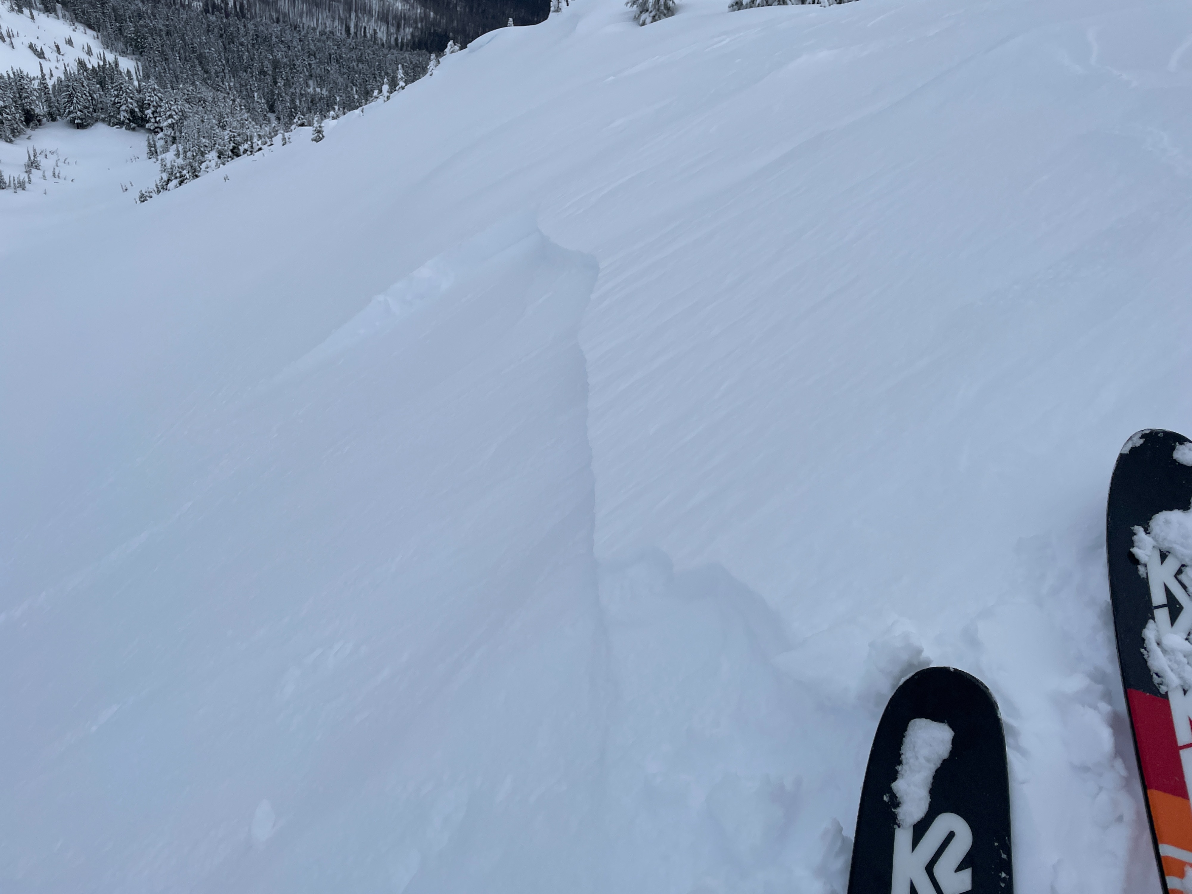
Avalanches were confined to wind loaded pockets. Cracking was generally confined to wind loaded areas. Cracks were short 4-6ft.Weather
- Air Temp
- 33
- Cloud Cover
- overcast
- Wind Loading
- previous
- Recent Snowfall
- 0
- Snow Avail For Transport
- small smounts
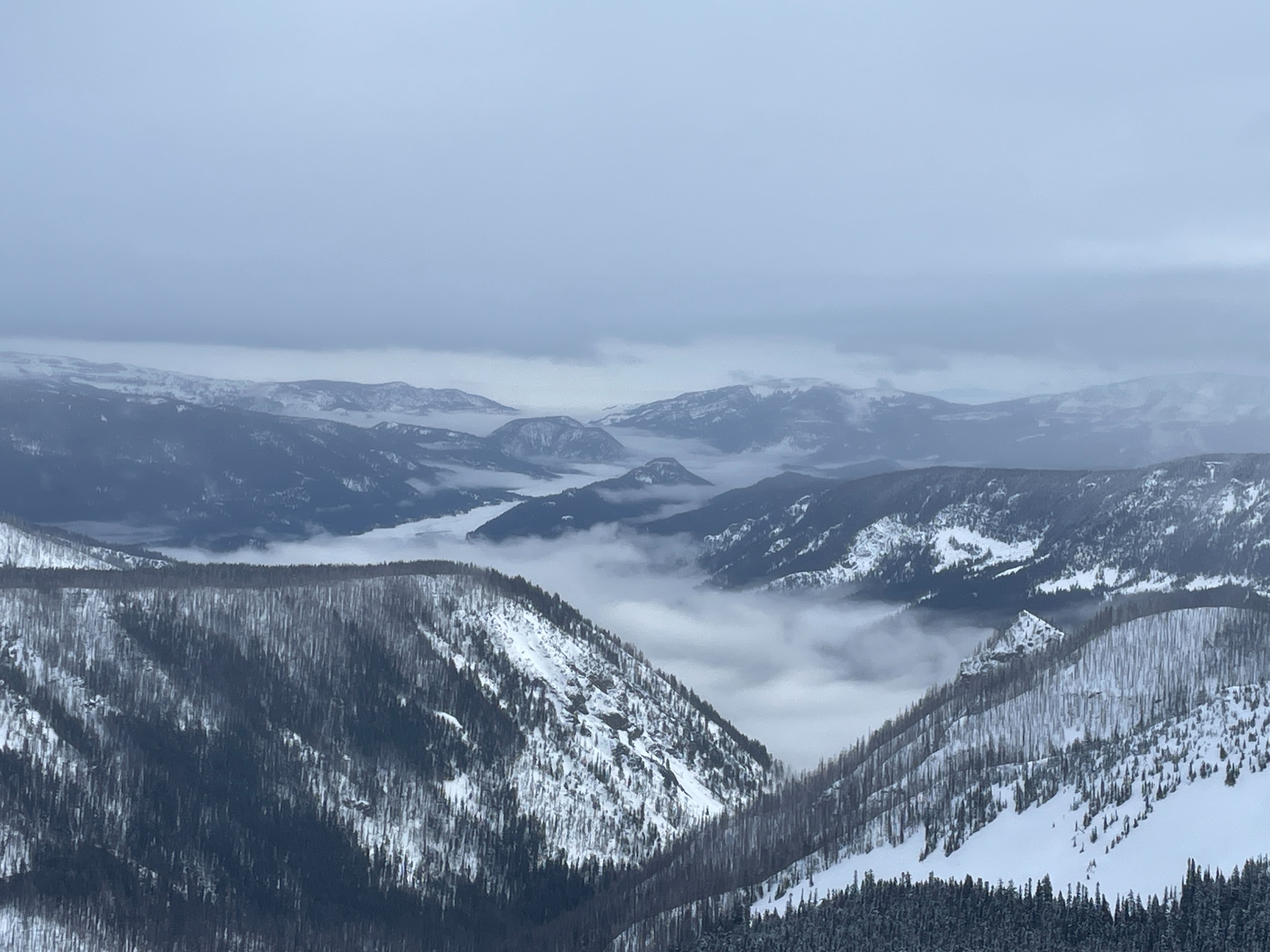
A pretty nice day. Light SE winds along ridgelines made things feel a bit colder than it actually was. The rain held off until well after we left the field at 1pm.
Snowpack
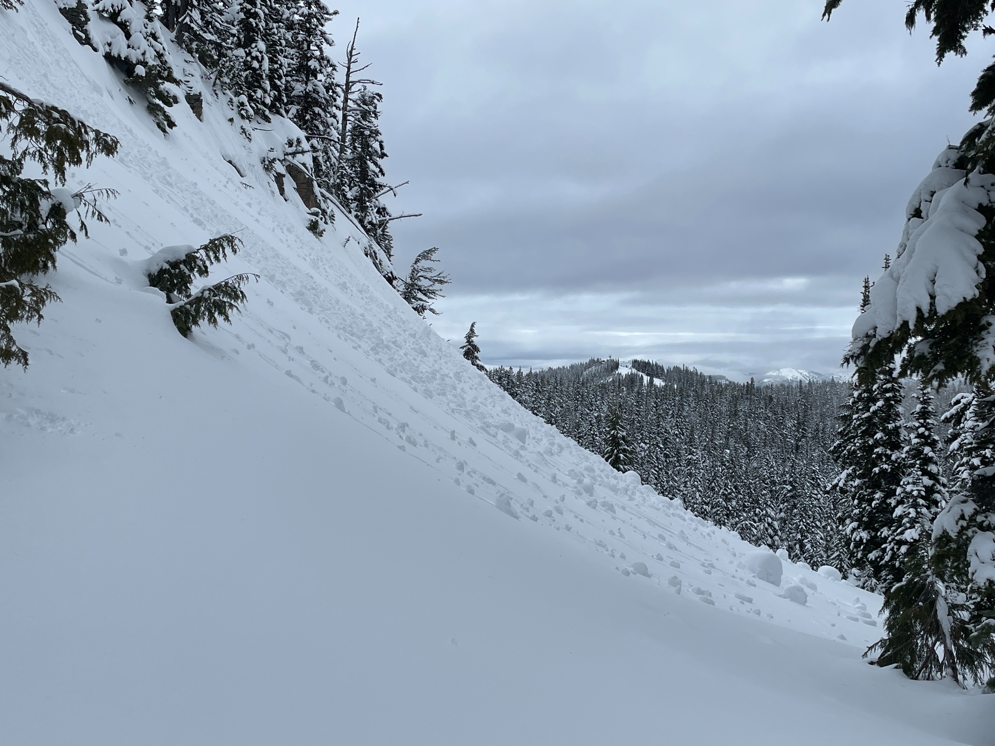
Above 6000ft the snow surface was generally drier and cold. Well settled powder was common with some wind drifting along exposed ridges and a few shallow wind slabs. Below 6000ft, the snow surface was much wetter, heavier, and produced a few small rollerballs.
Upper Snowpack: Several interstorm layers still exist in the top few feet of snow. The more predictable failure was on the 1/20 interface. The recent storm snow is well settled and is gaining strength.
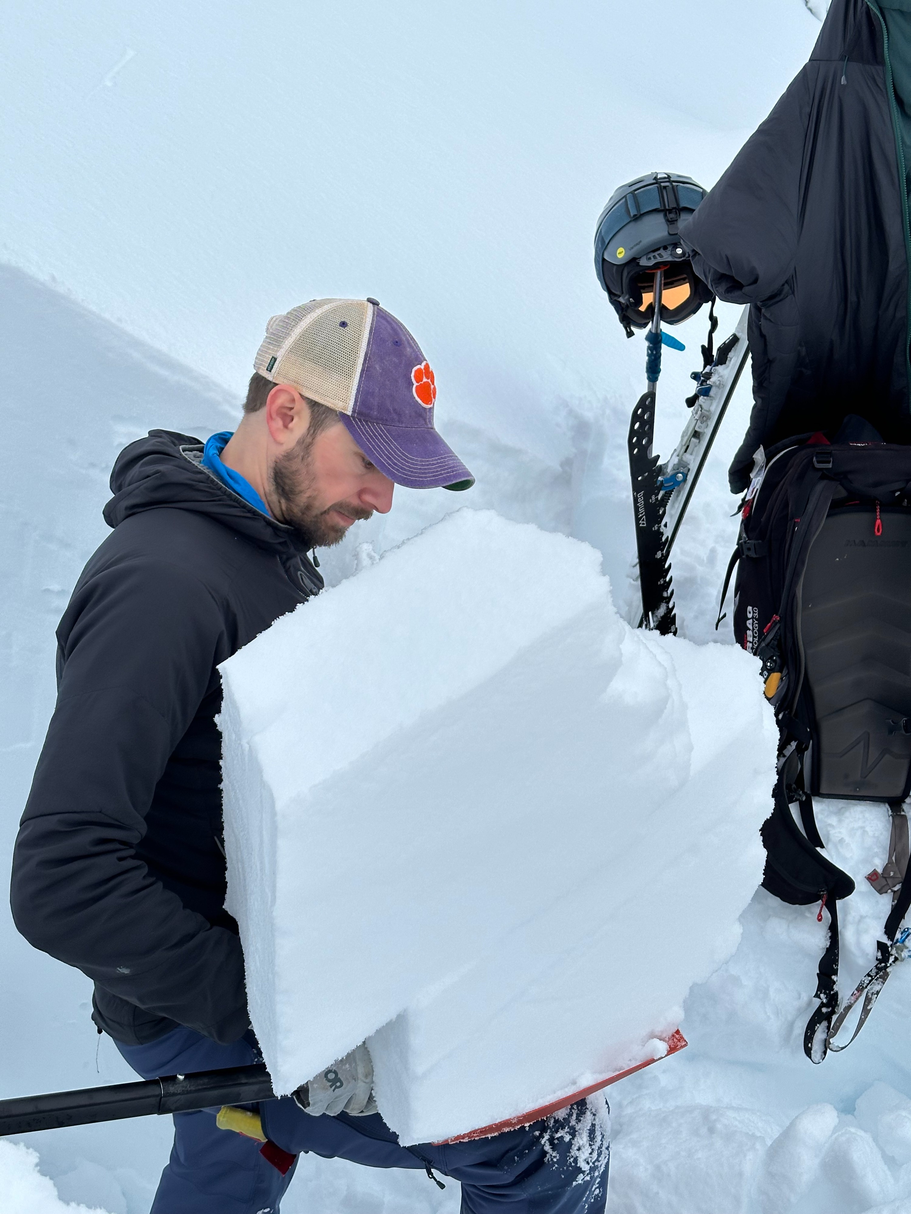
Middle Snowpack: We could see nearly every single crust and interface all the way back to mid December. These layers all seemed to fail in different ways in different tests. Often rounding facets were found at these failures. The variety and consistency of failures shows the snowpack has not fully healed and remains very cold dry and layered.
Solstice Crust: This layer was about 5-6ft below the surface. The crust are very rotten and weak. Large facets can still be seen with the naked eye.
Avalanche
We were able to trigger 4 small wind slab avalanches. The slides were 4-8in deep, often 15-20ft wide. N aspect, 6600ft, HS-ASc-D1-R1-S