
Quick report
- Collapsing
- isolated
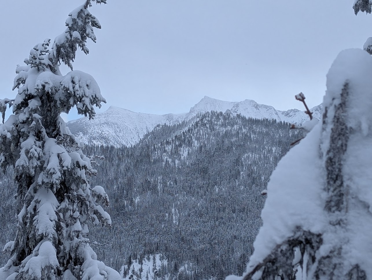
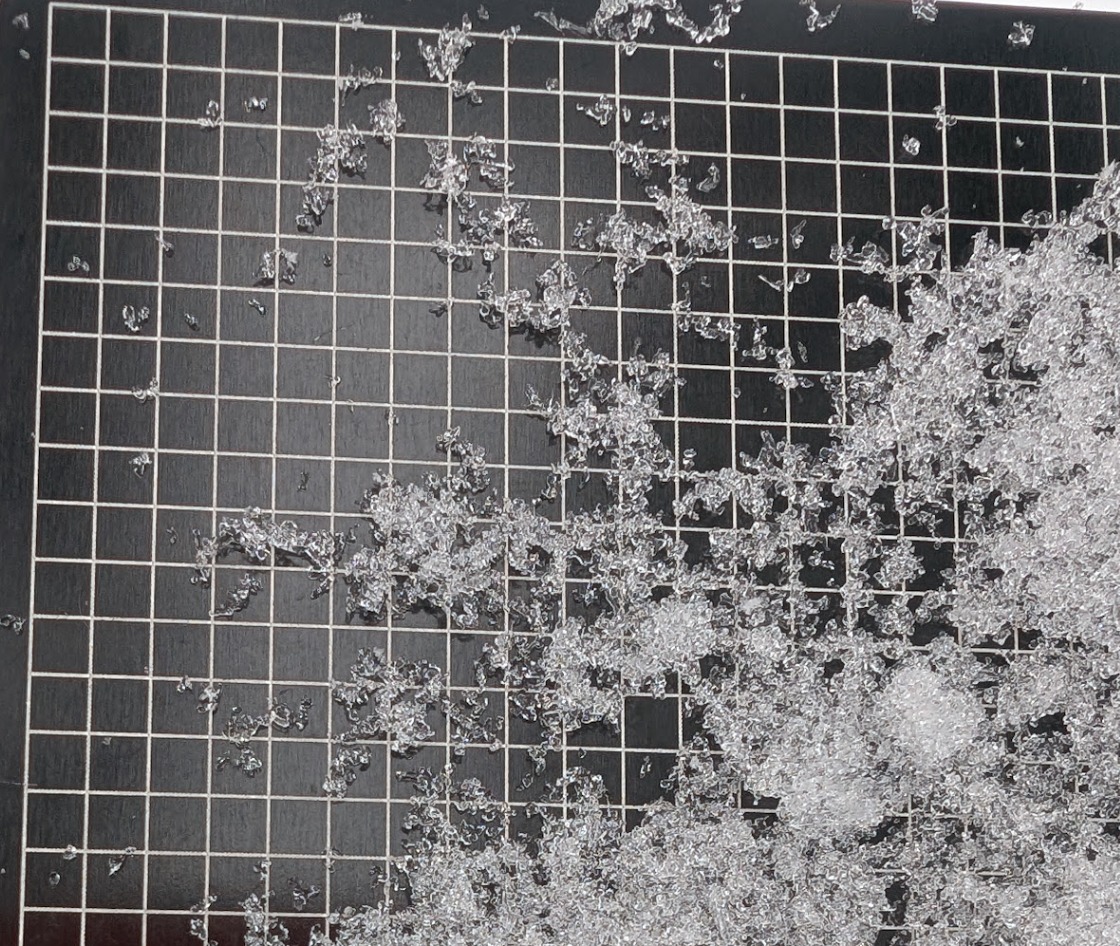
In short: BTL we didn't see enough slab formation for the forecasted avalanche problems where we travelled in old-growth trees sheltered from wind. *However*, we have a widespread poor snowpack structure near Stevens Pass, especially east of the Crest, with multiple weak layers (on and below the JDL/TCL), including both near surface facets and surface hoar. In the true alpine, we saw wind transport (N. Chiwaukum) that may be forming slabs on this structure. Looking ahead, I use a cooking metaphor: it seems like the Stevens Pass zone is pre-heating the oven (weak snow is buried and preserved) for when we get ready to bake (overload slopes NTL/ATL with sufficient slabs already formed). If the oven doesn't get too hot, too soon (overloaded by a storm or wind), we'll start to see less red flag signs of weakness. I had a small, isolated collapse in flat, wind-sheltered terrain near 4000'.
Weather
- Air Temp
- 22
- Cloud Cover
- obscured
- Wind Loading
- intense
- Rain Elevation
- 0
- Recent Snowfall
- 40
- Snow Avail For Transport
- large amounts
Calm winds, obscured sky with snow showers to S1, exiting the field at 1330 33F at Nordic Center (3000').
Snowpack
HS 190 cm at 5400'on N. HN 30-40cm over the TCL , "Tr*mp Catastrophe Layer," AKA JDL, "January Drought Layer," based on canopy and wind exposure. 0-20cm - Storm snow (Feb1-2) F 20-25cm - mid-storm warmup (Jan31) 4F- 25-30cm - first wave storm snow (Jan30-31) F 30cm - buried surface hoar layer (in open area) F 30-35cm inversion/melt-freeze crust - JDL/TCL, faceting 4F+ 35-36cm below crust facets 1mm, well developed (F) 36-90cm facets and rounding facets from the January drought - fist