

Quick report
- Cracking
- isolated
Observations from the southern end of the advisory area have been sparse. Josh and I set out for Cilly Ridge to see if we could find wind-loading, buried weak layers, wet loose, or all of the above.
- We found dry snow above 6500' and were surprised to see minimal signs of recent winds.
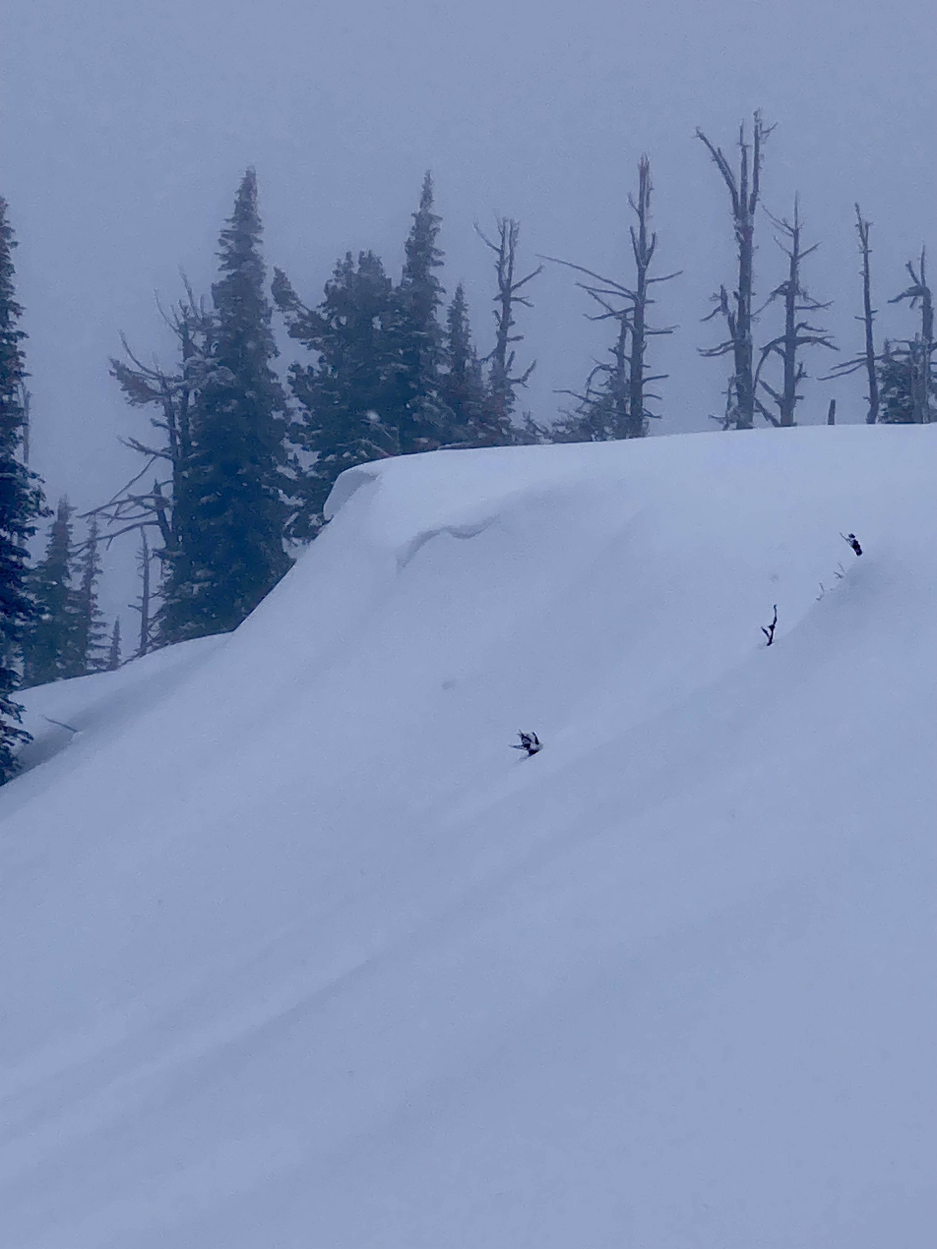
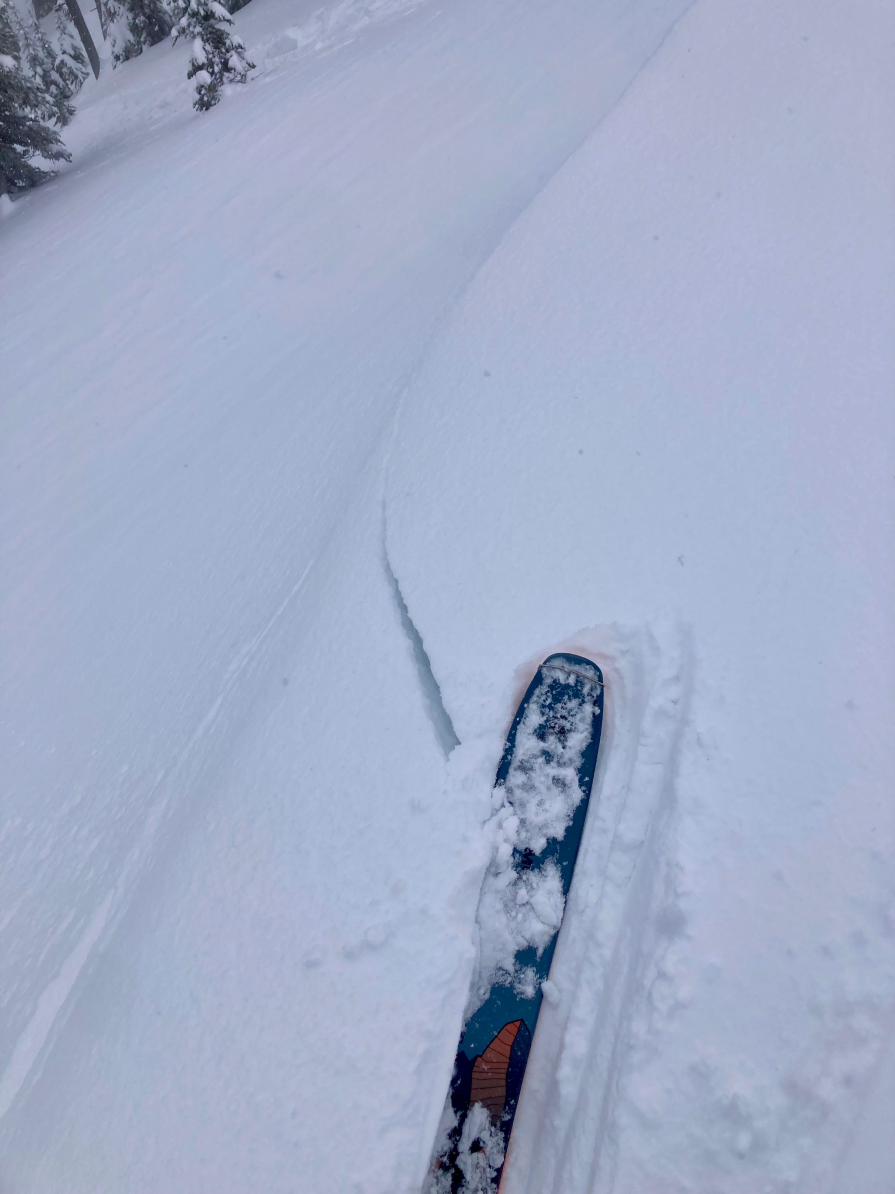
- Repeated stomping near diminutive cornices produced cracks up to 6 feet long and 1 foot deep.
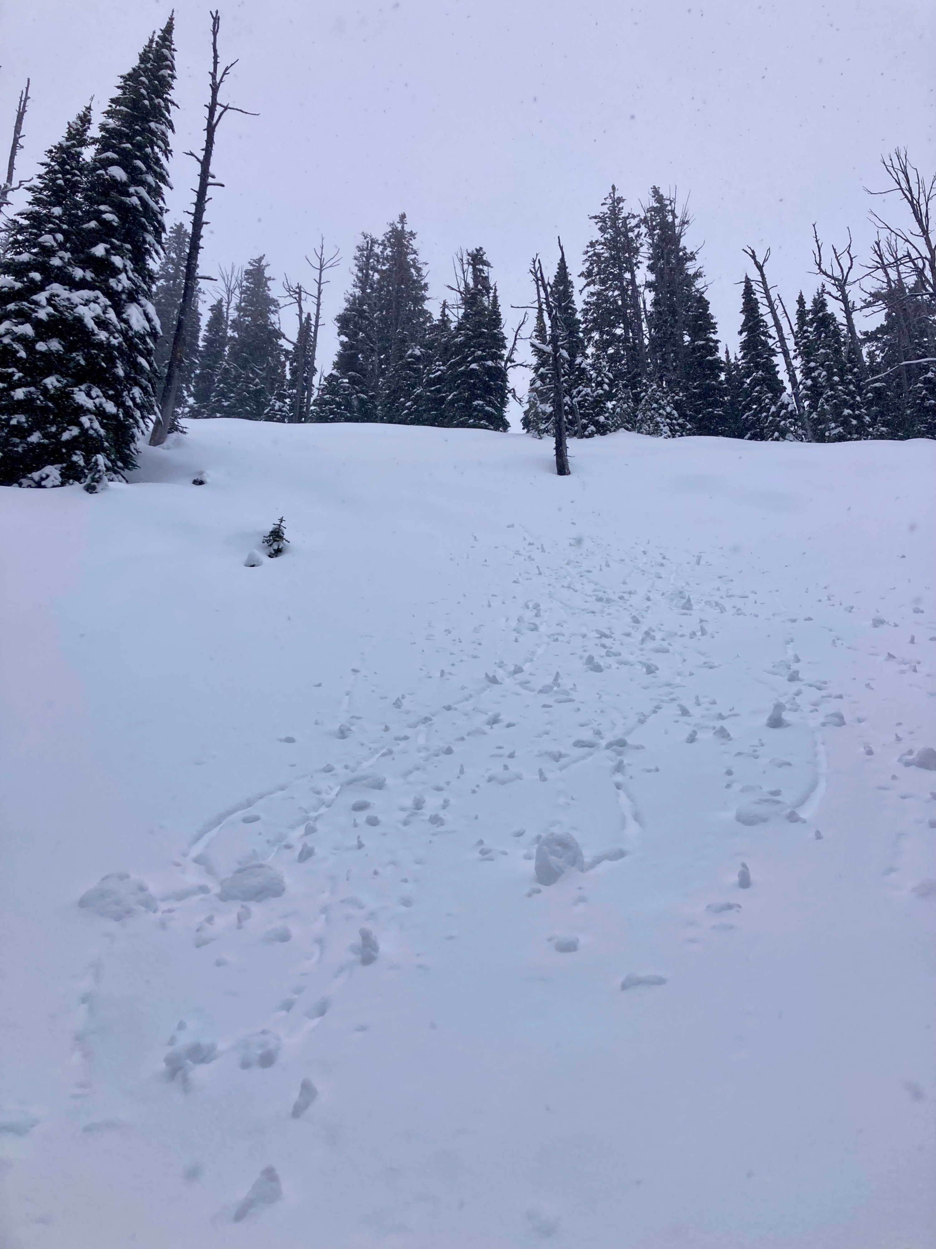
- Cornice drops produced only light sluffing in the upper few inches of surface snow.
- Snowpack tests produced unremarkable results (ECTX, ECTN).
- We were unable to identify intact buried surface hoar in our sheltered, upper-elevation, NE pits.
- If there is intact surface hoar or near-surface facets to be found, they would be above 6200' in this drainage.
- This area appears to have seen more rain events than elsewhere in the advisory area. It became difficult to keep track of all the crusts below the top foot of the snowpack.
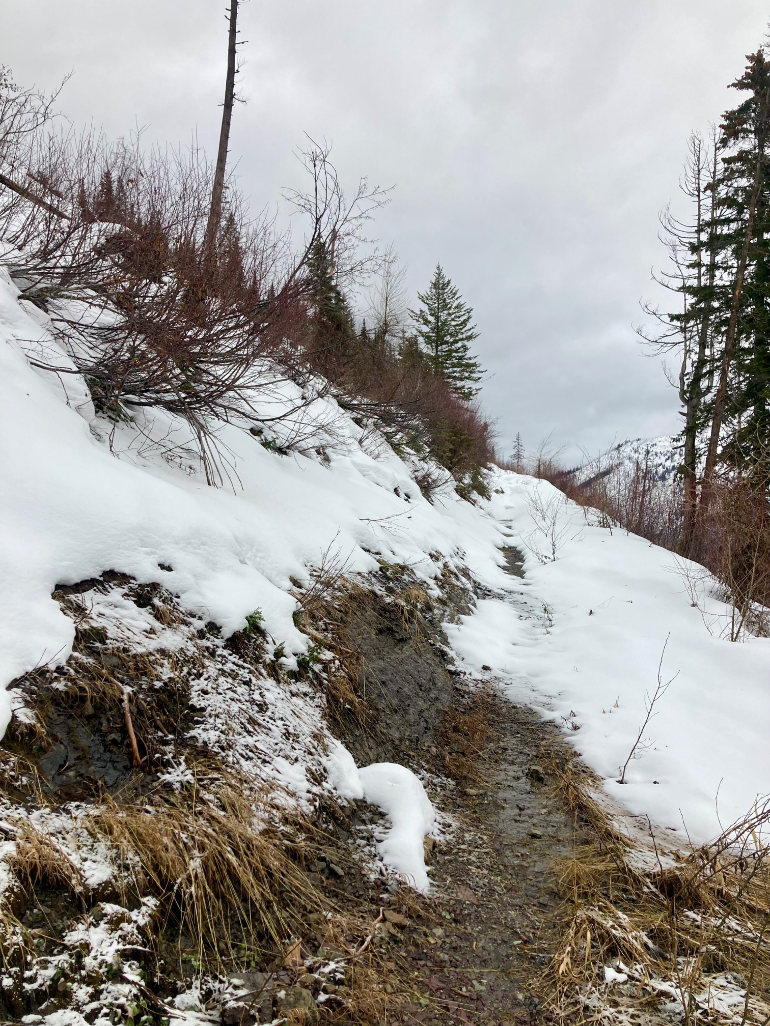
- Thin coverage below 6000 feet made wet loose unlikely and travel difficult.
Based on these findings, we decided to ride very steep slopes. We increased our safety margin by riding one at a time and enjoyed a soft and fast descent until roughly 6500 feet.
Found isolated and stubborn slabs of wind-drifted just below ridge.Weather
- Cloud Cover
- overcast
- Wind Loading
- previous
- Rain Elevation
- 5100
- Recent Snowfall
- 10
- Snow Avail For Transport
- small smounts
S1 around midday, totaling 1 inch @ 6400 feet during our tour. Light westerly winds with moderate gusts near ridgeline at 7100 feet, with no blowing snow evident.
Snowpack
Surface snow was moist up to ~6200' Semi-supportable MFcr near the surface from 6200'-6500'.
About 30 cm of soft snow above the suspected Xmas interface (not very stout or supportable at the upper elevations; more of a warm-up density layer).
Test Pit @ 7000' N
- 10 cm on the 1/2 interface. Could not definitively identify buried surface hoar in any test or hand pits. If it does exist in this location, it is small and needle-like.
- HS = 160 cm
- ECTX
- CTX [performed on same column as ECT]
- 30 cm of unconsolidated snow on top of many crusts.
Test Pit @ 6500' NNE:
- 1-2cm MFcr at surface
- HS = 165 cm
- ECTN15 down 30 (suspected Xmas interface), ECTN25 down 40
- CTM12 (SC) down 30, CTM15 (SC) down 65 (within AR Crust) [performed on same column as ECT]
Avalanche
Minor sluffing on NE slopes at 7000 feet.