
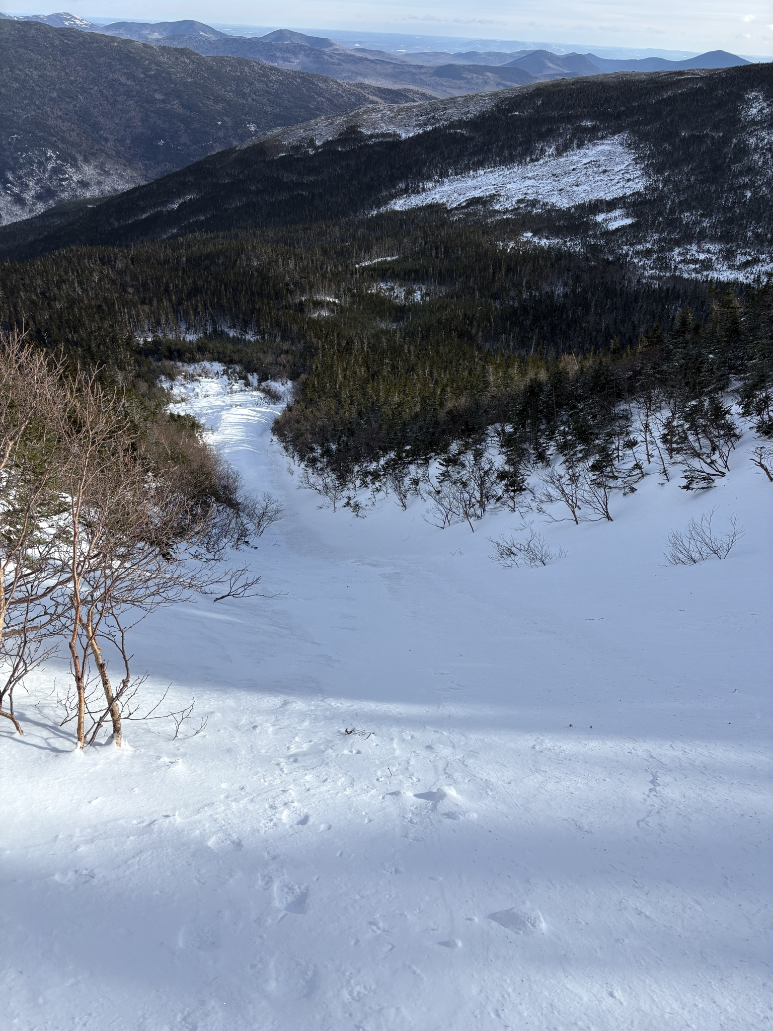
Quick report
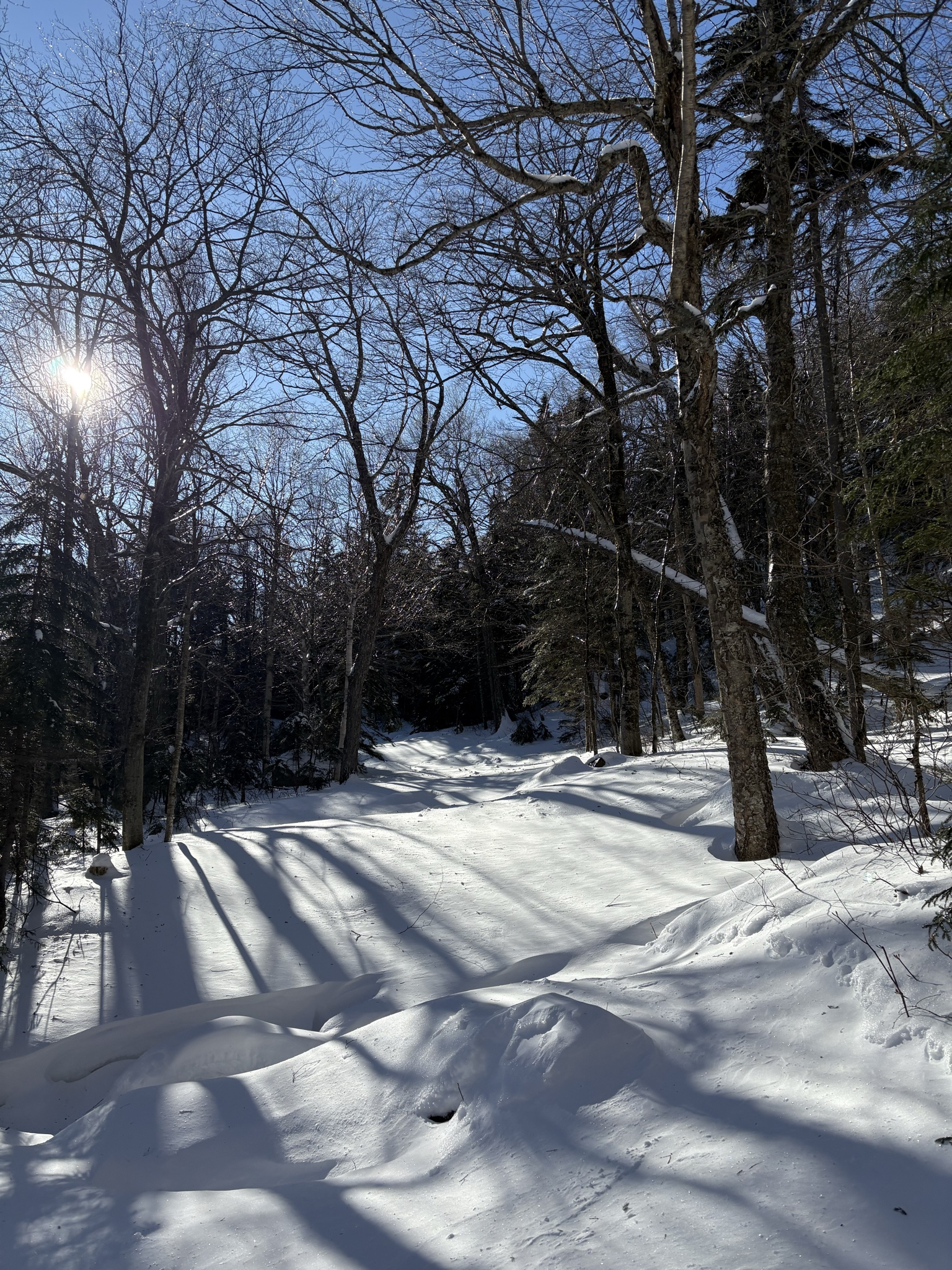
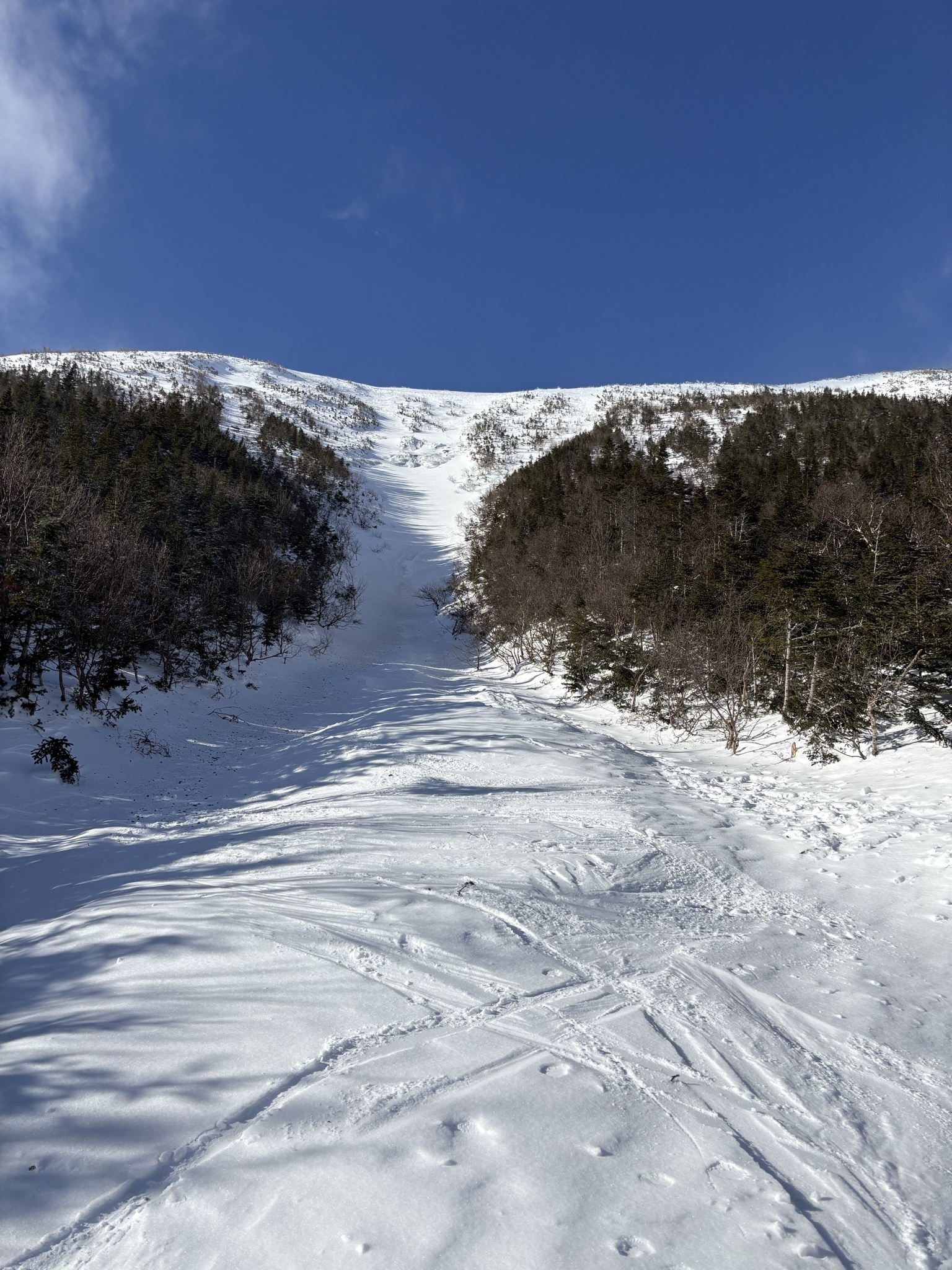
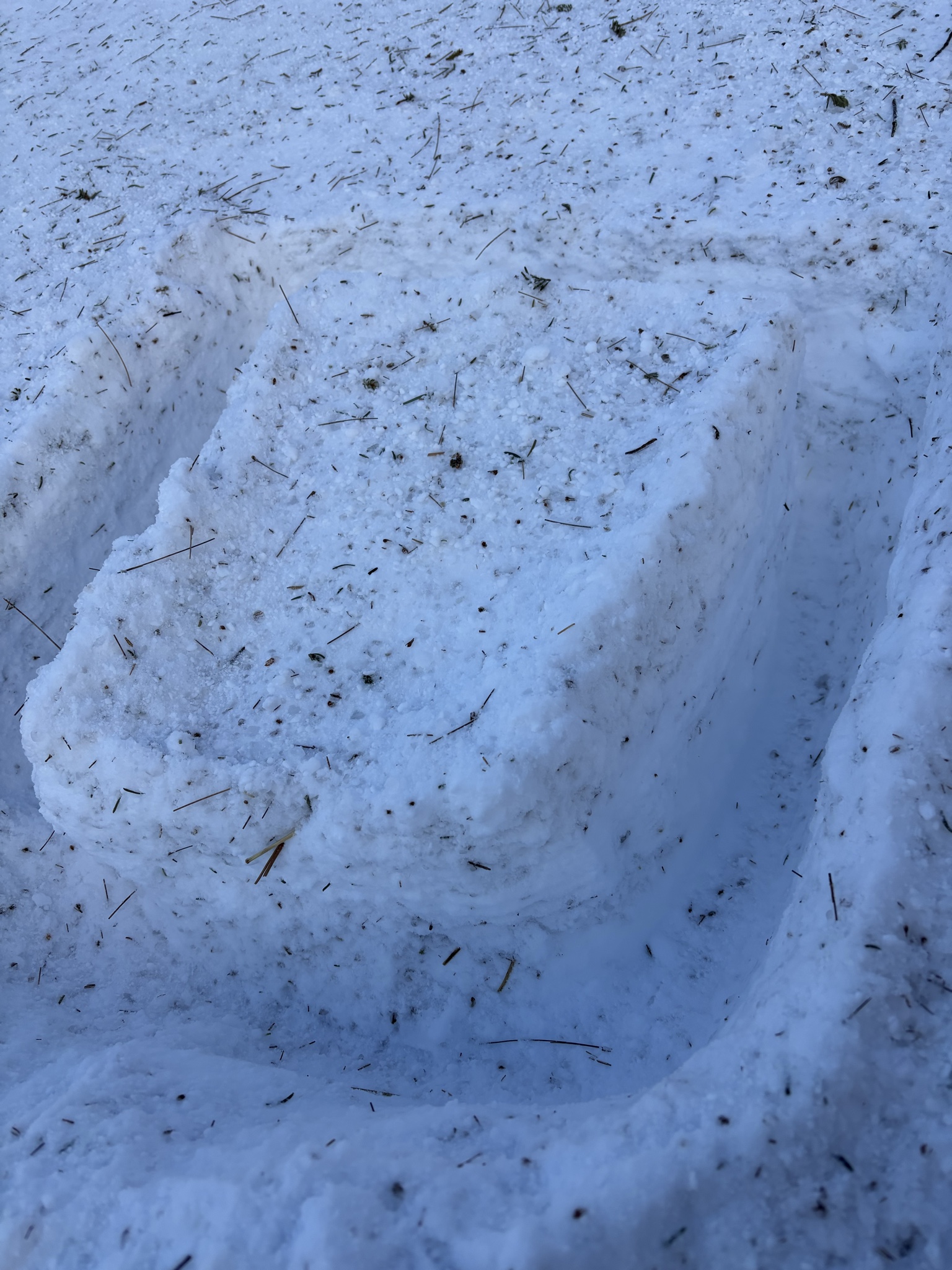
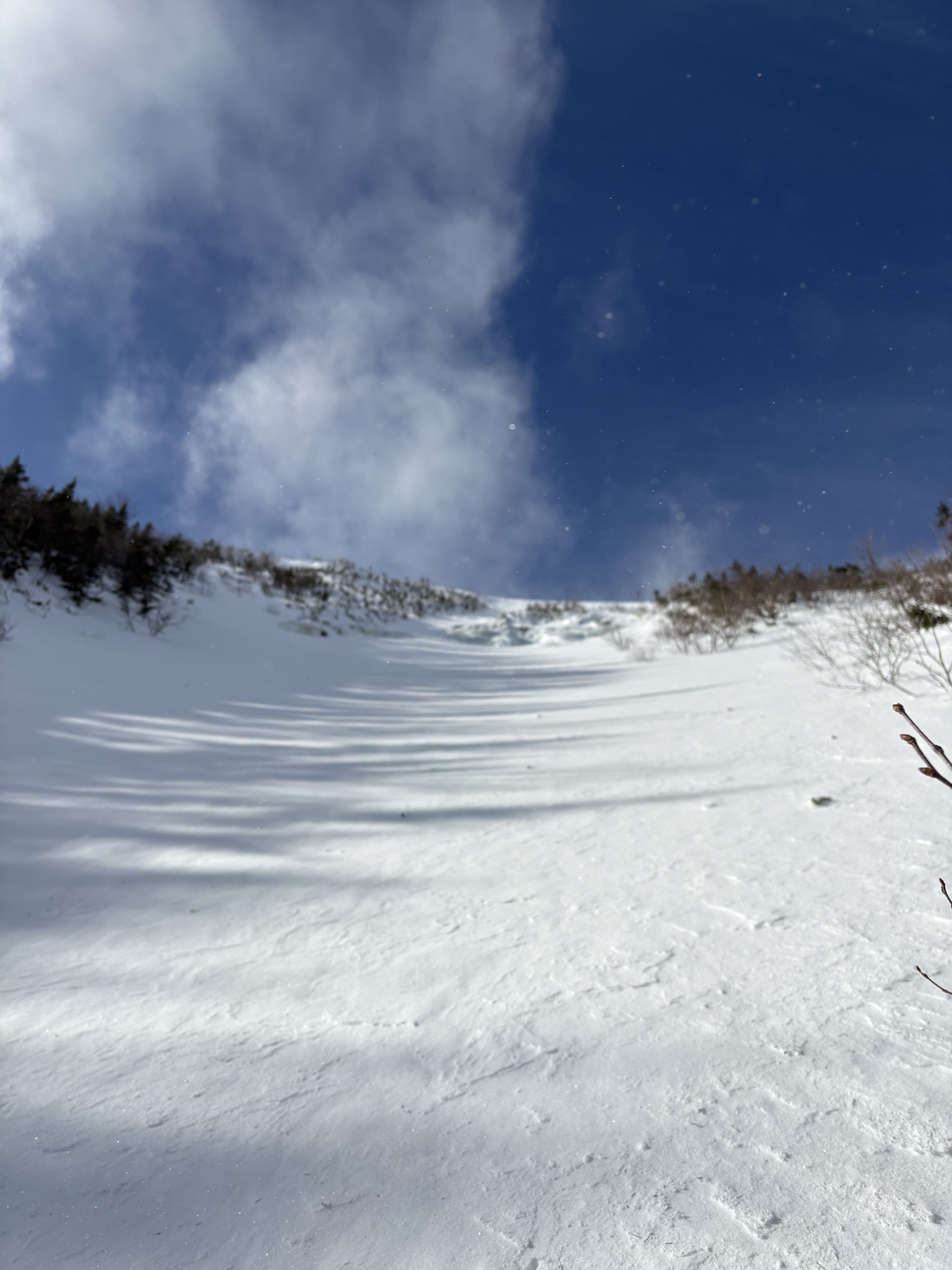
The ski trail was filled in all the water crossings were easily navigable. The surface conditions of the trail range from an icy crust to wind blown snow drifts up to 8 or more inches thick. The base of the gully was entirely frozen crust. The ice bulge and pillowy white snow just beneath were easily visible. As well as an old crown line and debris in the upper gully. Moving into the gully itself half of the slope was a frozen crust and the other half was a stable snow pack which I did a hand shear test pictured here around 4100’. Once I began moving closer to the ice bulge, the surface snow layer started building quickly into a connected wind slab beneath the ice bulge and into the main gully alternates. It began increasing in depth and around a couple inches of depth I observed a strong over weak structure and increased sensitivity before turning around. Several times during my hike up to the gully winds were blowing clouds of snow on top of my head and loading into the gully.