
Quick report
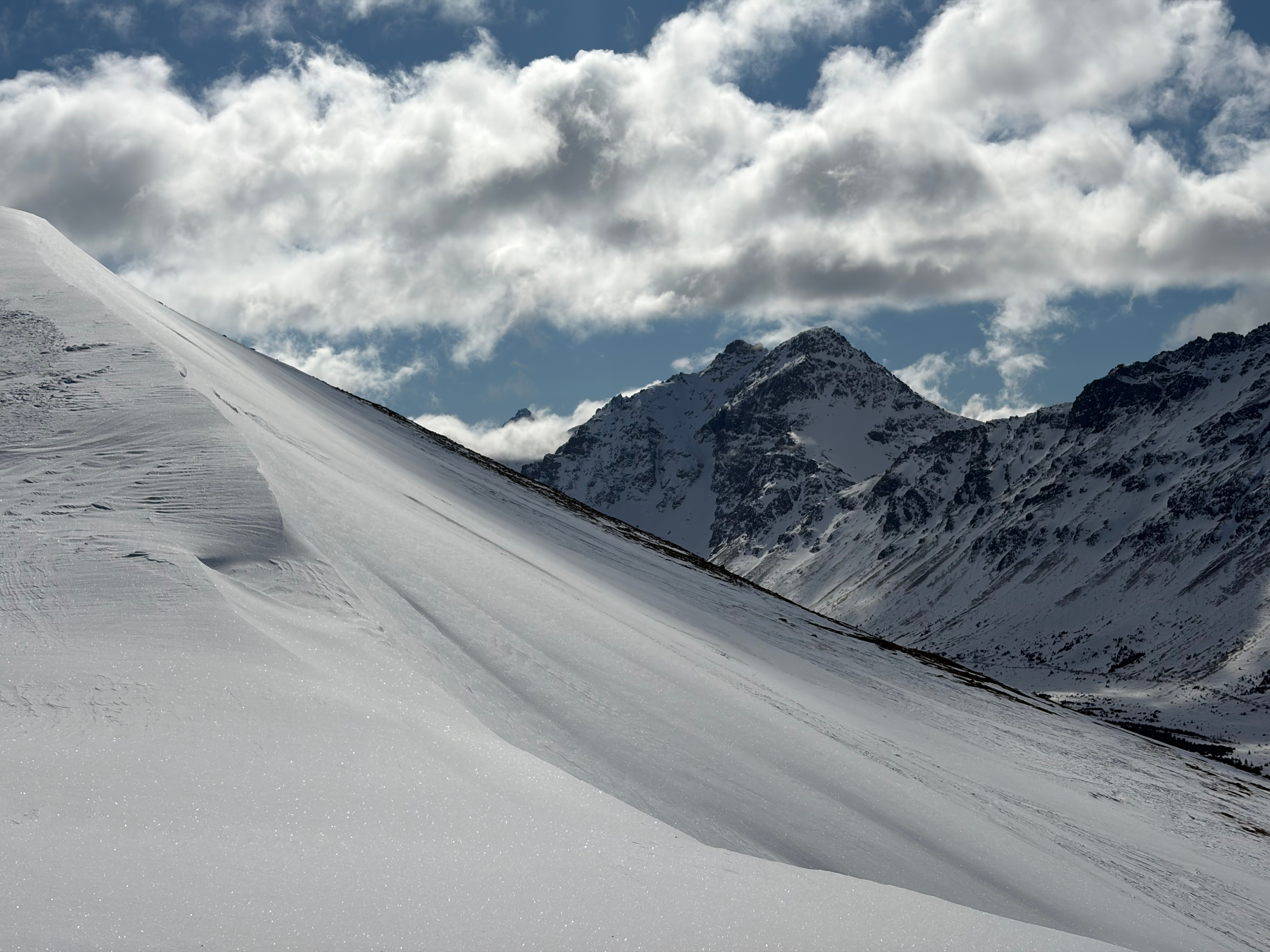
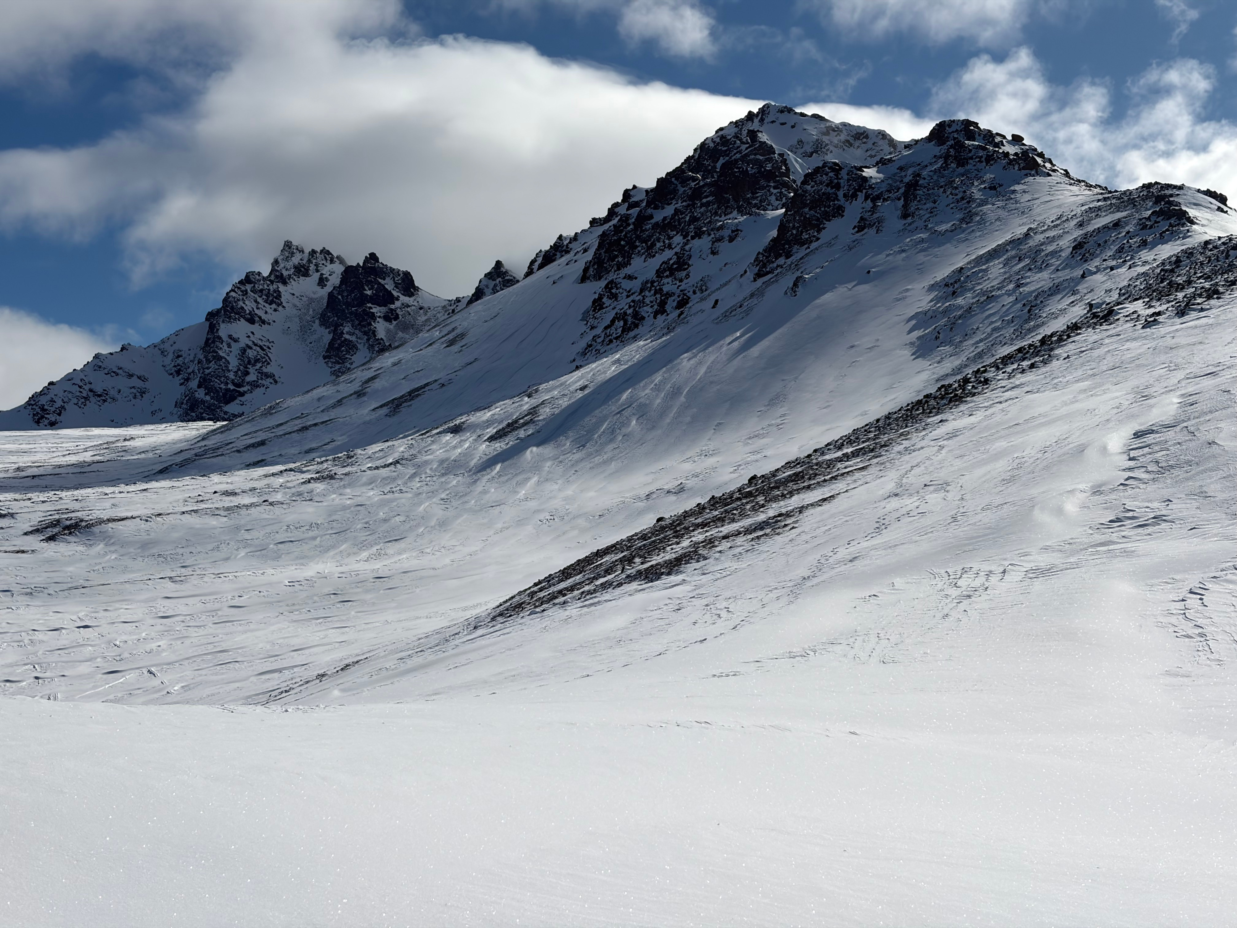
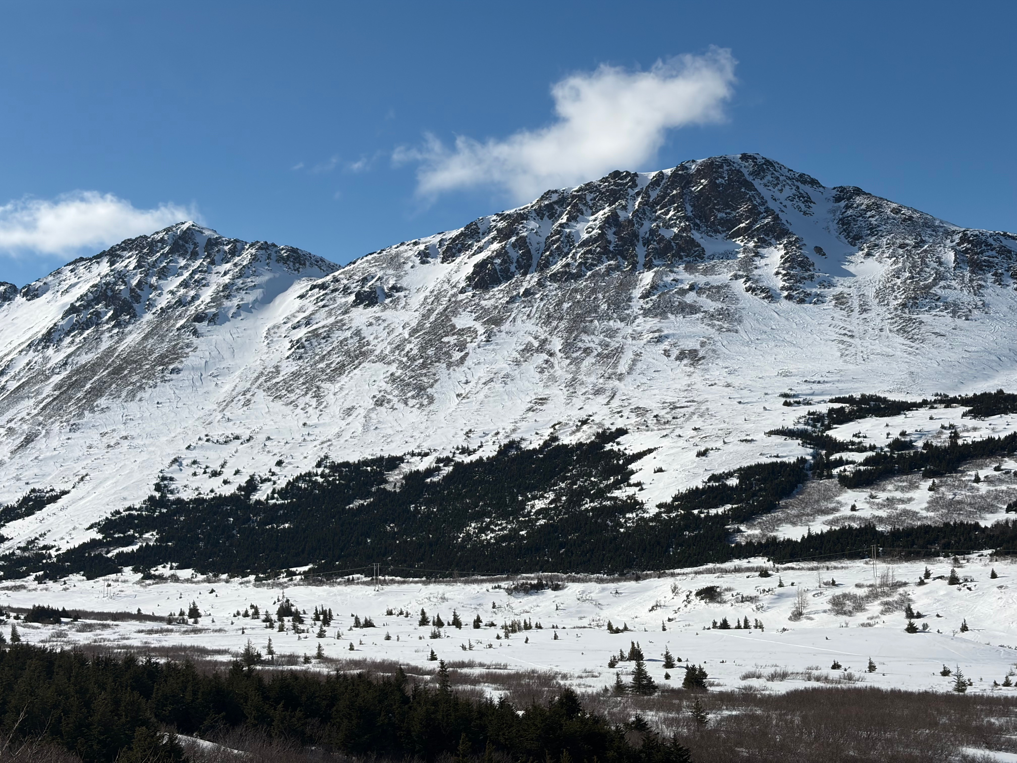
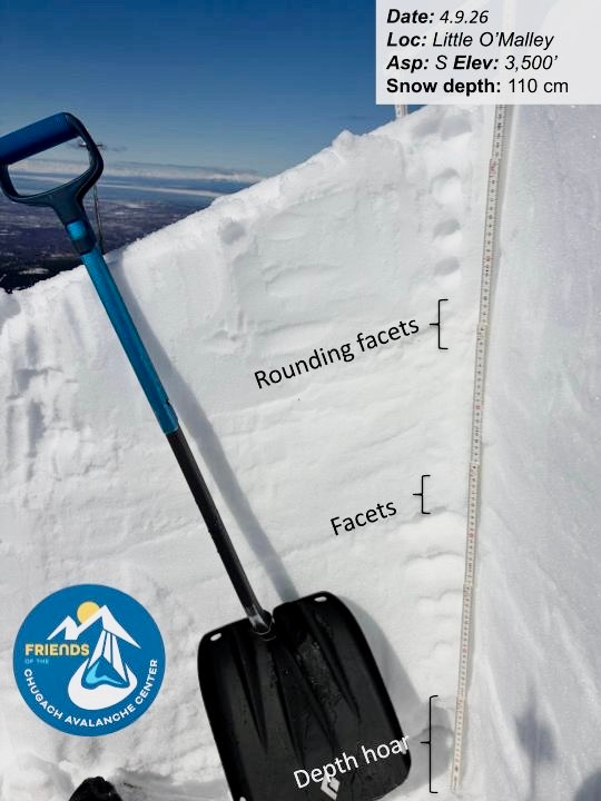
We toured from the Glen Alps parking lot to a point between Little O’Malley and False Peak to dig in a location representative of a higher elevation start zone. Our focus was on assessing surface moisture, tracking water movement through the snowpack, and monitoring persistent weak layers.
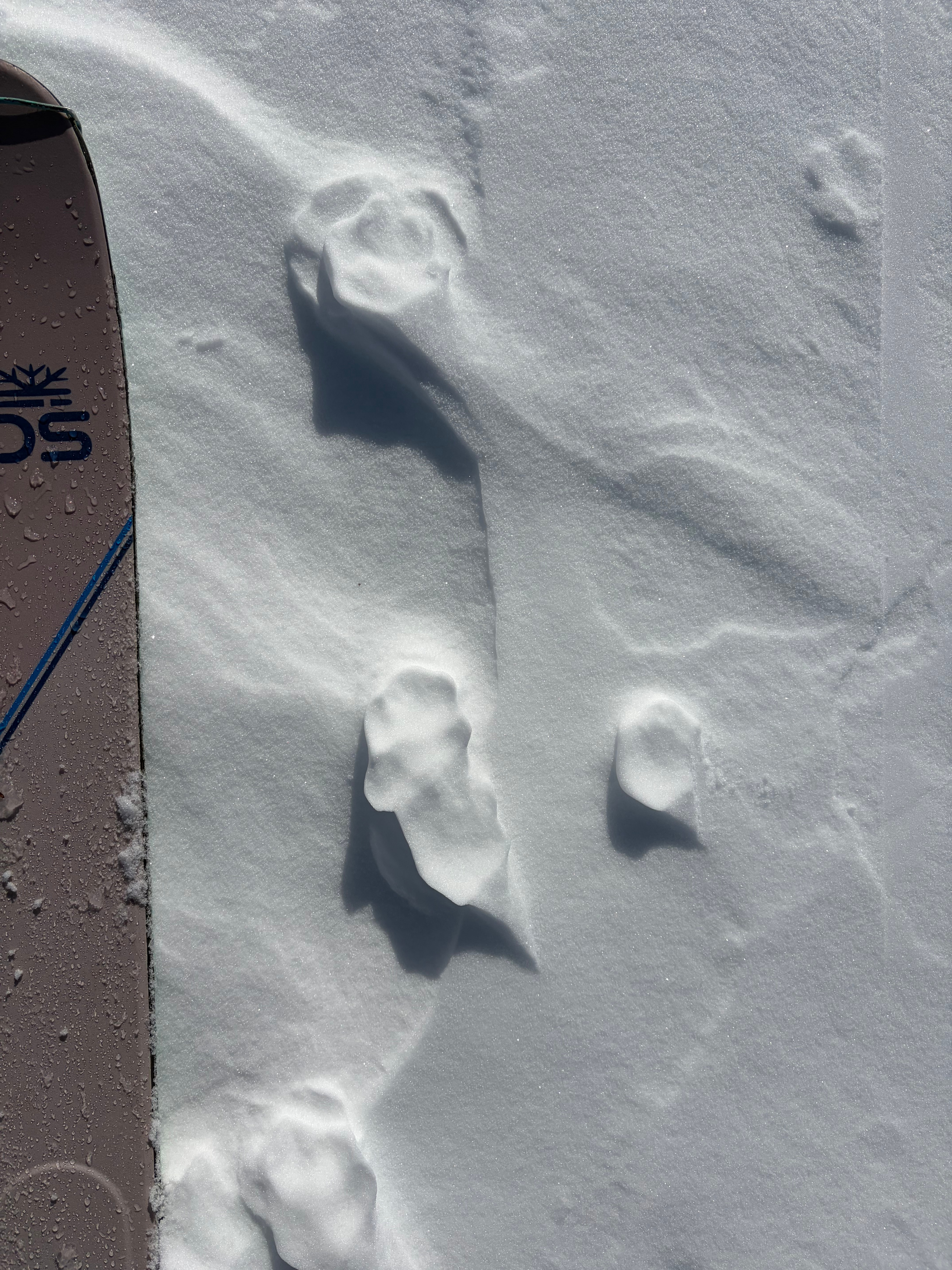
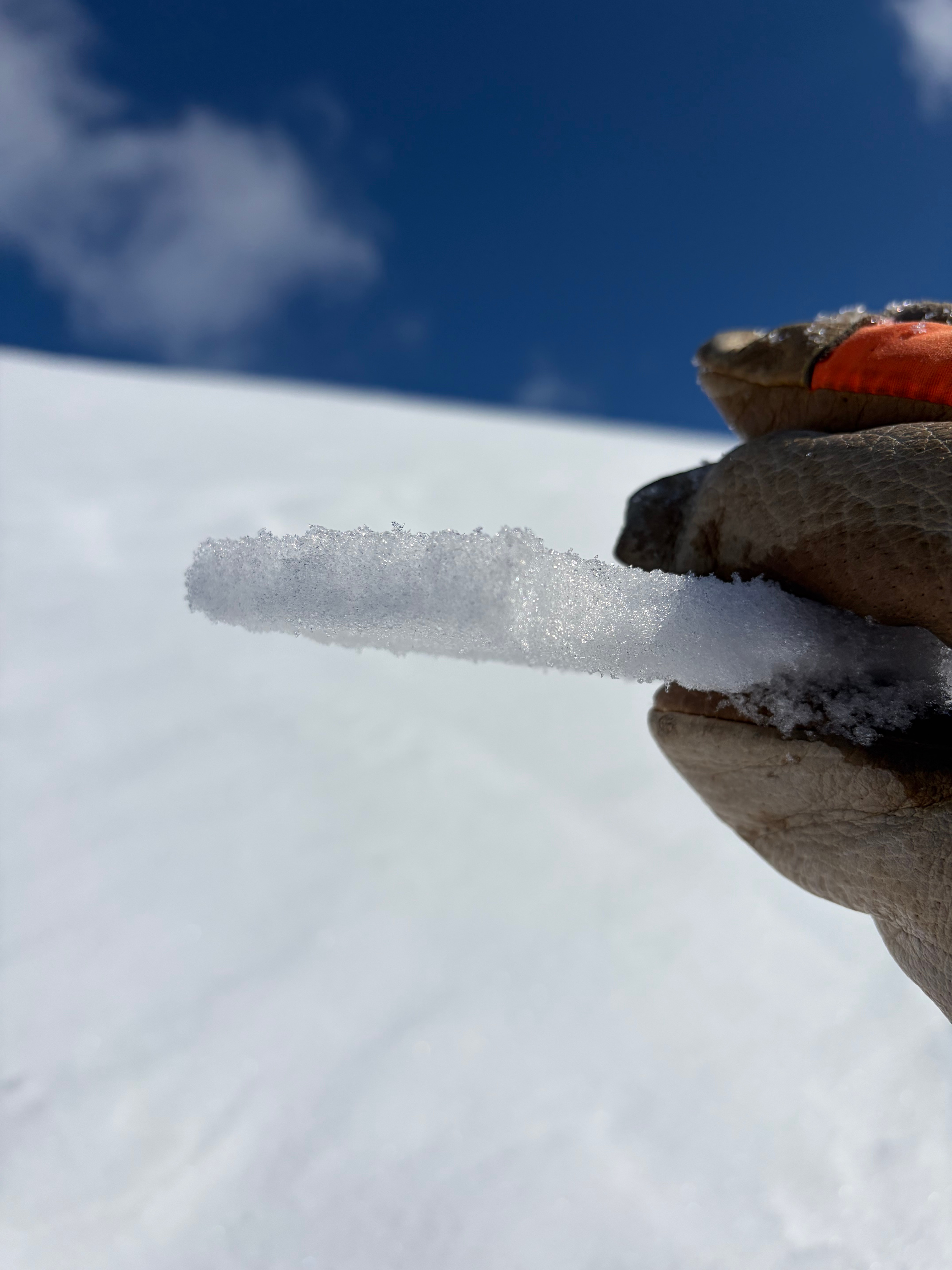
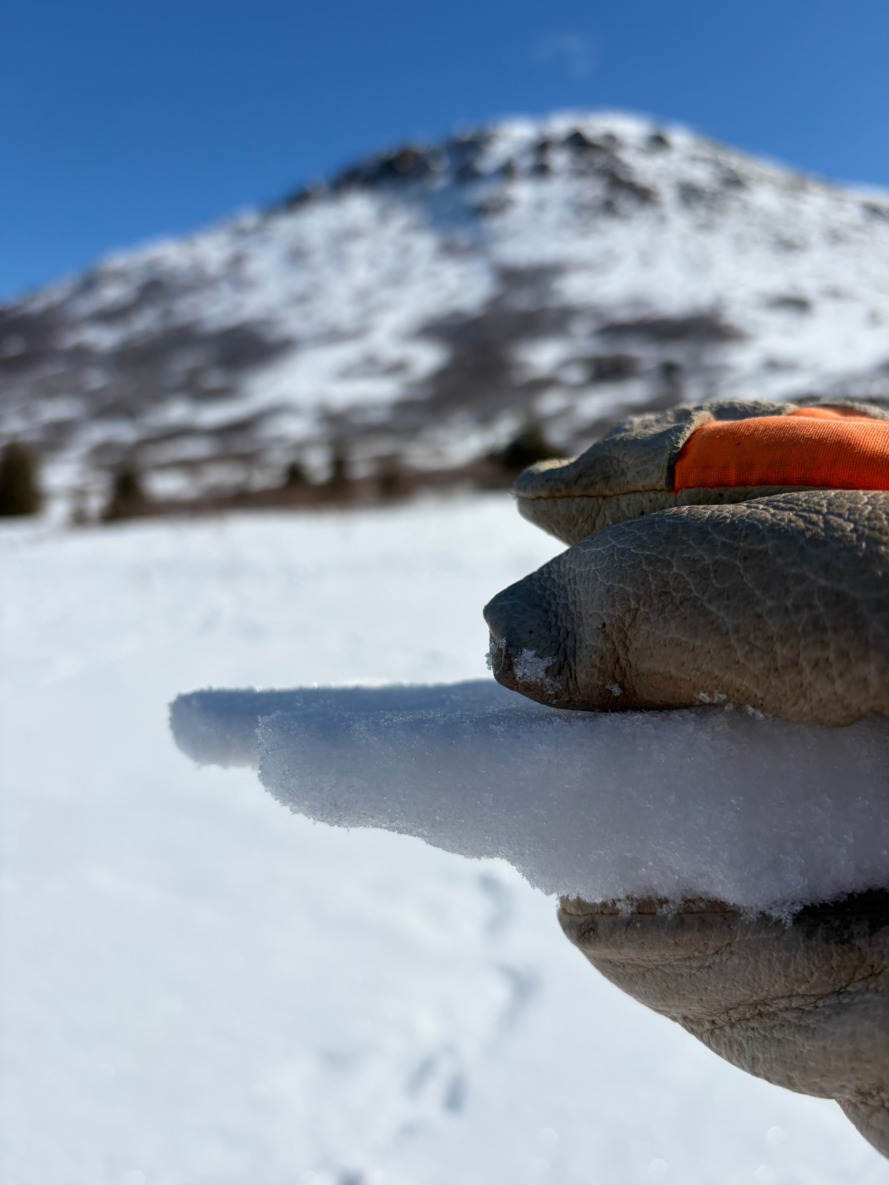
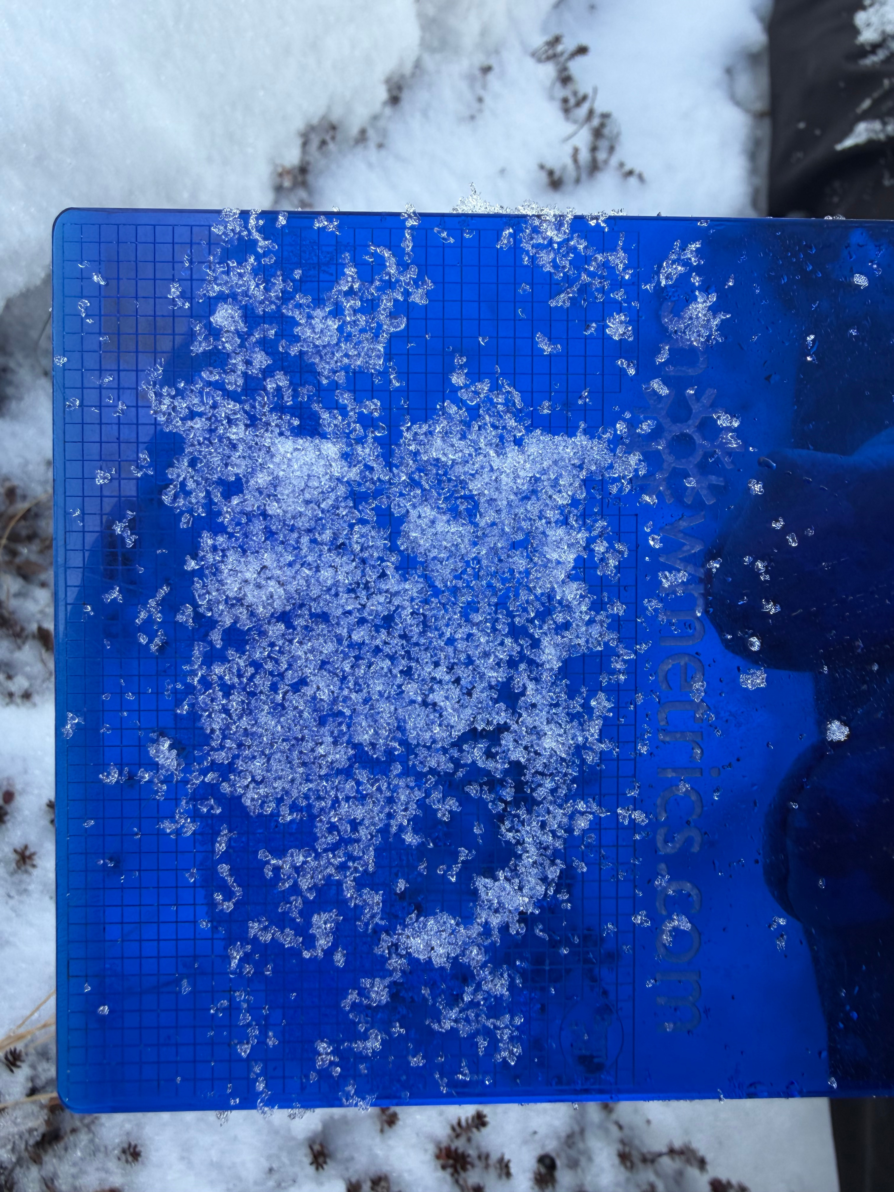
At lower elevations (~2,000'), we found sun crusts up to 4" thick, while a thinner (~1") sun crust extended up to ridgetops. The overall snowpack structure matched what we’ve been seeing across the park: near-surface facets in the upper snowpack, a mid-pack facet layer, and depth hoar near the ground, all interspersed with wind-affected snow.
We observed signs of healing in the upper near-surface facet layer, while the mid-pack facets and depth hoar remained dry and unchanged. We did not perform formal stability tests due to a pencil-hard wind slab that made isolating a column difficult. By the time we descended (~2 PM), the surface crust had softened, providing enjoyable surface conditions.
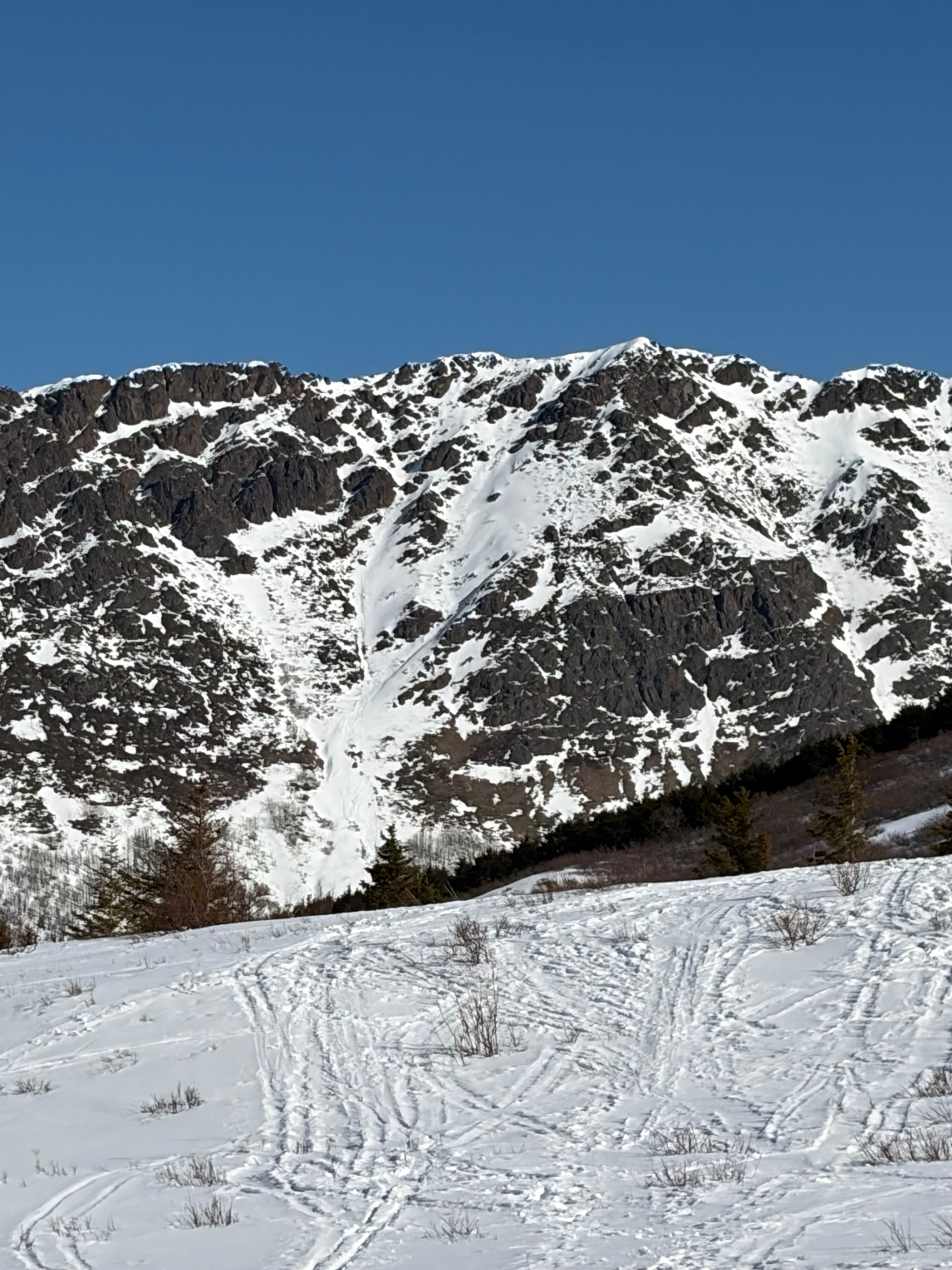
We are approaching a tipping point for more significant wet loose instability. In steep, sun-exposed terrain—particularly on south aspects—loose wet avalanches could entrain a significant amount of snow. Careful timing will be key to managing this hazard.
Weather
- Air Temp
- 35
- Cloud Cover
- clear
- Wind Loading
- previous
- Rain Elevation
- Not observed
- Recent Snowfall
- Trace
- Snow Avail For Transport
- none
Clear sunny skies, temperatures ranged from mid 20s to mid 40s F and were coolest along ridgetops and warmest in the afternoon in the parking lot, no precip