
Weather
- Cloud Cover
- few
- Rain Elevation
- 10000
- Snow Avail For Transport
- none
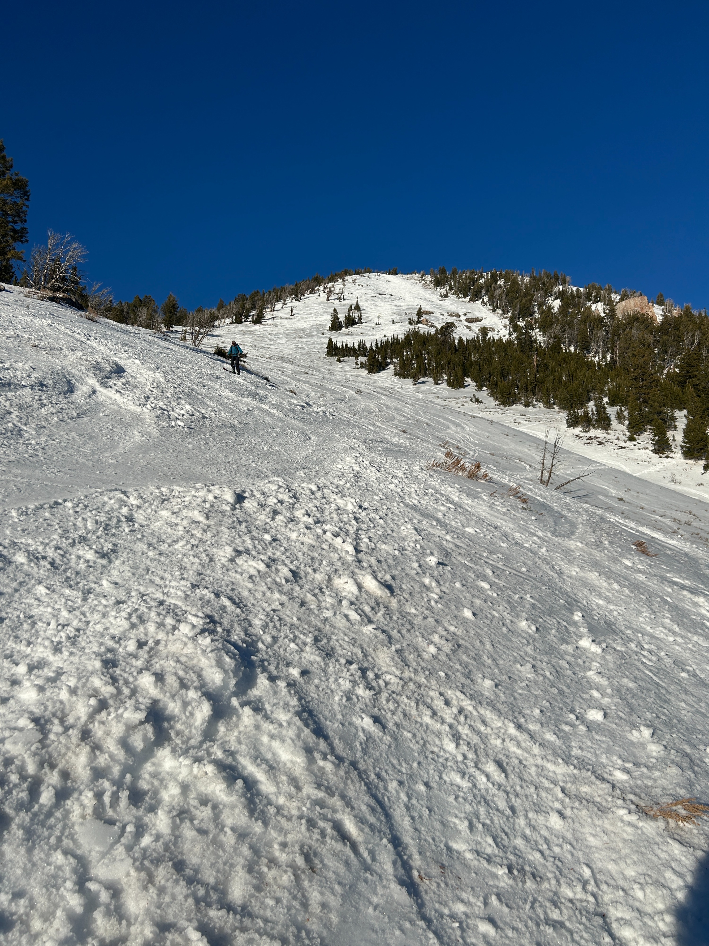
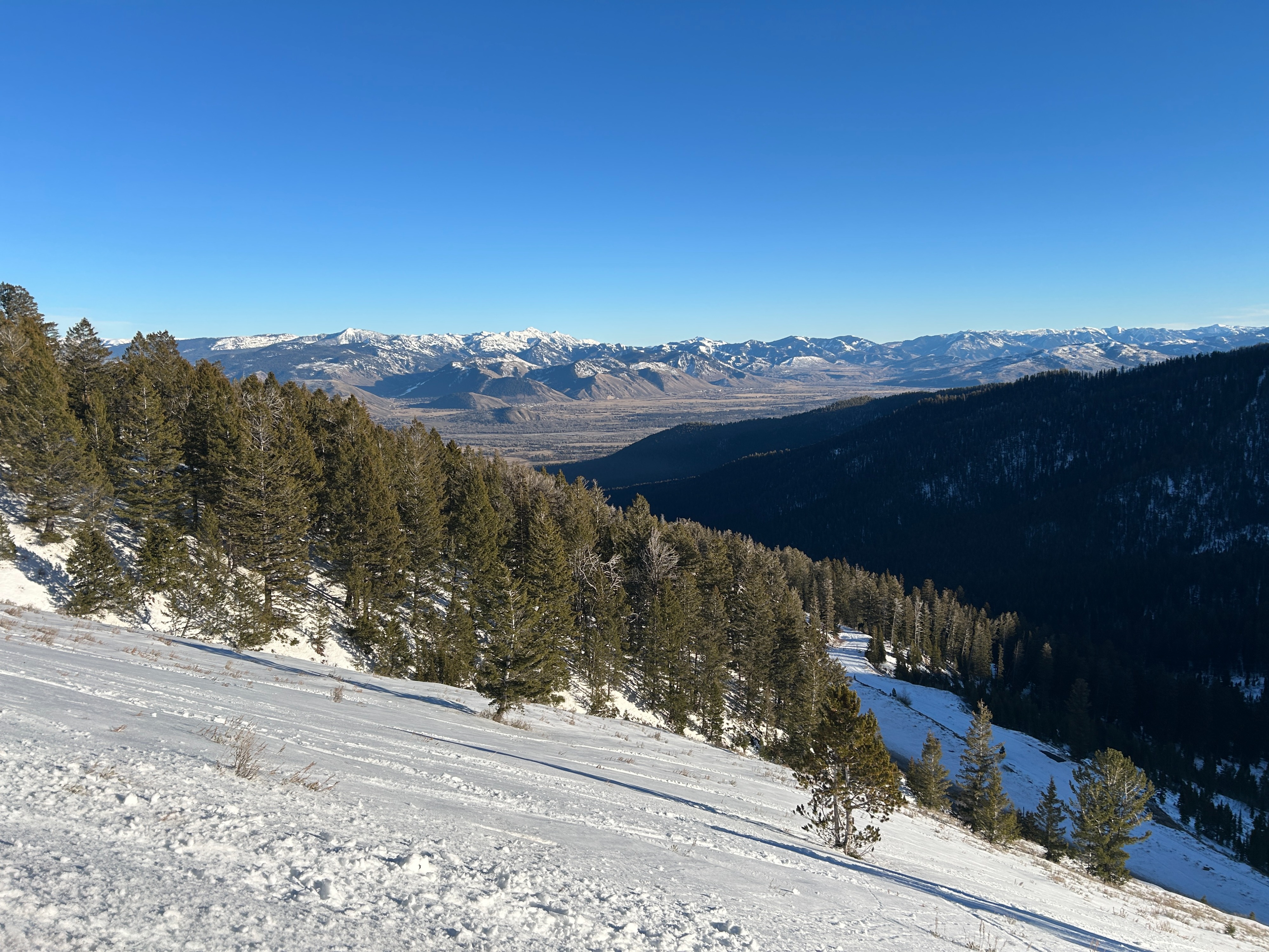
Warm and mostly sunny. 43 F on Teton Pass at 4pm
Snowpack
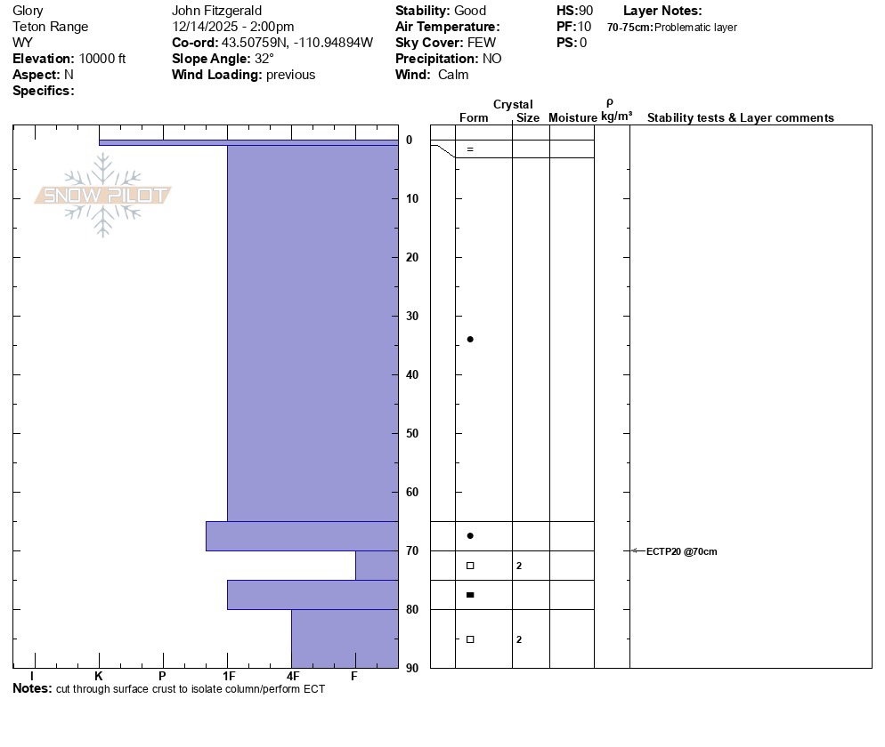
Today was day 3 of a melt freeze pattern following a storm cycle that ended with rain in the upper elevations. Solar aspects were becoming isothermal in shallow coverage areas by 3pm. North aspects at 10,000 feet had frozen surfaces during the heat of the day. Poor structure exists in the upper elevations with propagation potential. Triggering is unlikely due to a stout rain crust on the surface, weak layers and slabs adjusting to each other, and the passage of time. Triggering a persistent slab avalanche in the upper elevations cannot be ruled out and would be an outlier event.