
Quick report
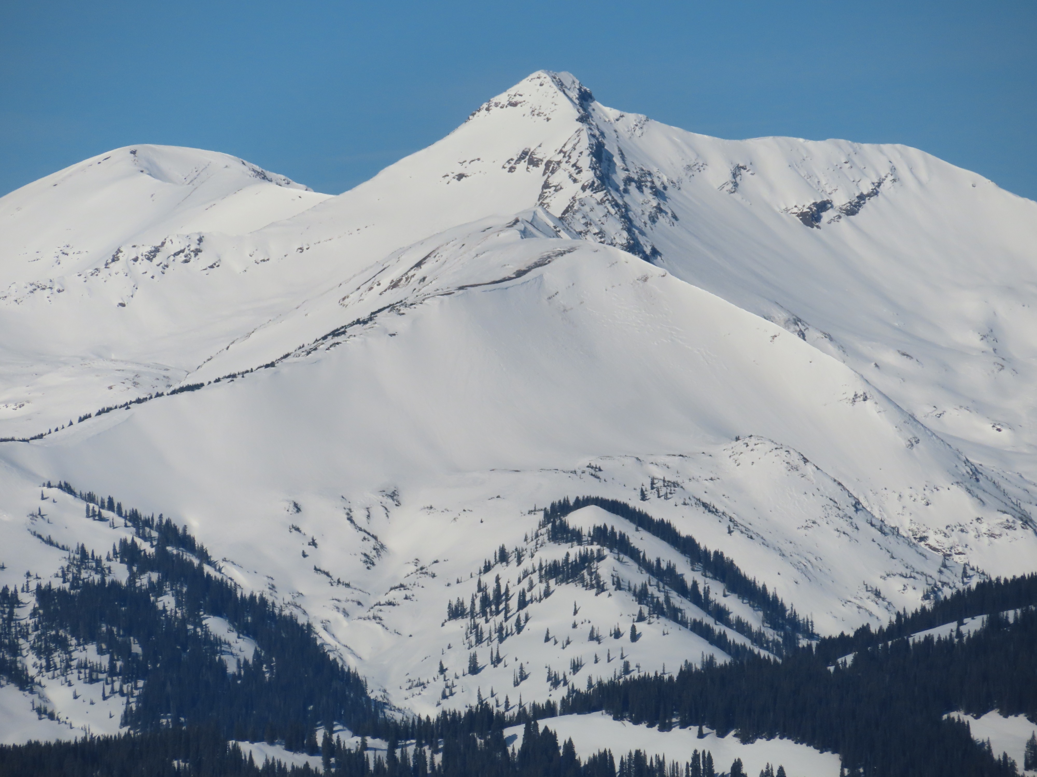
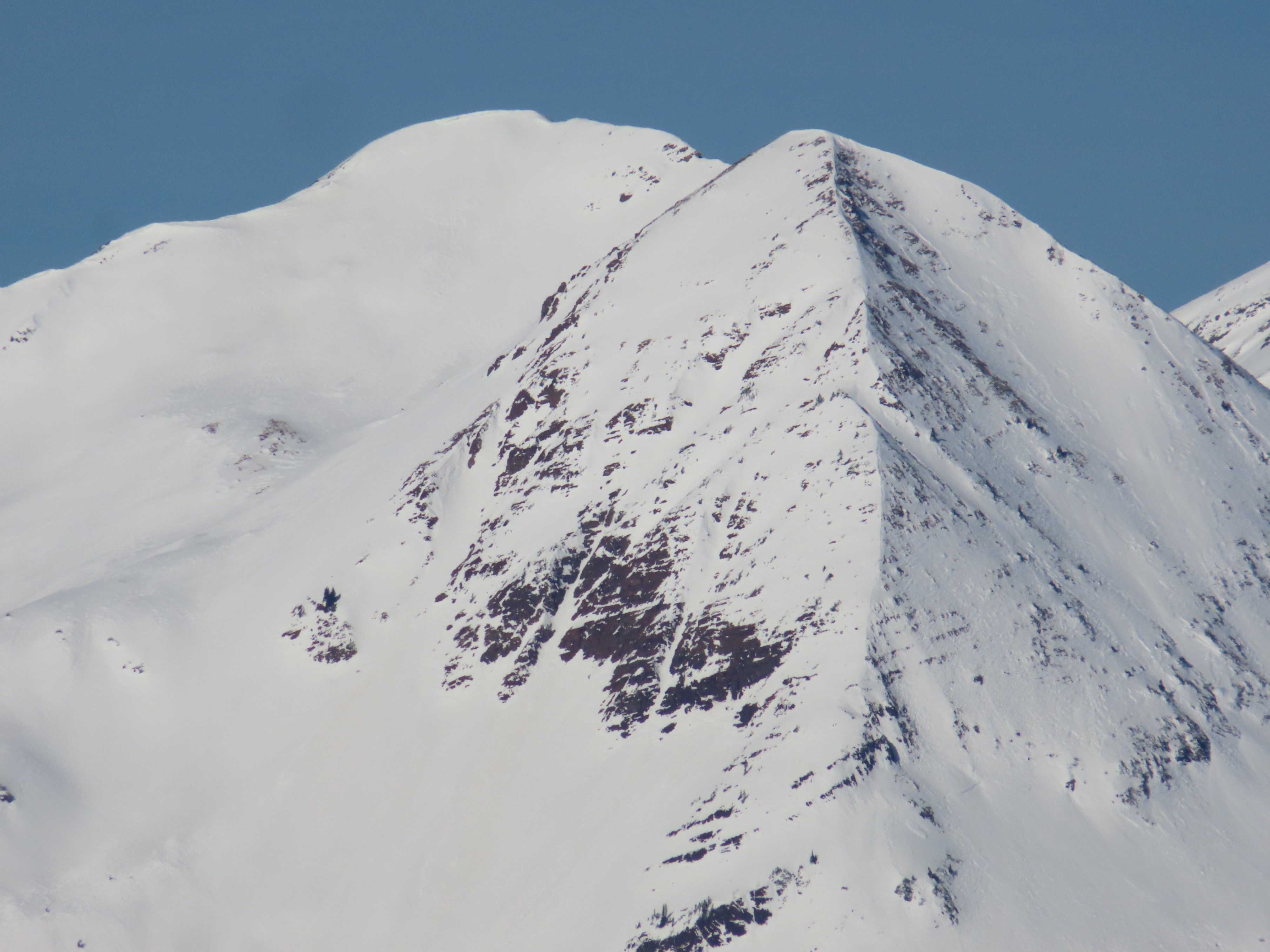
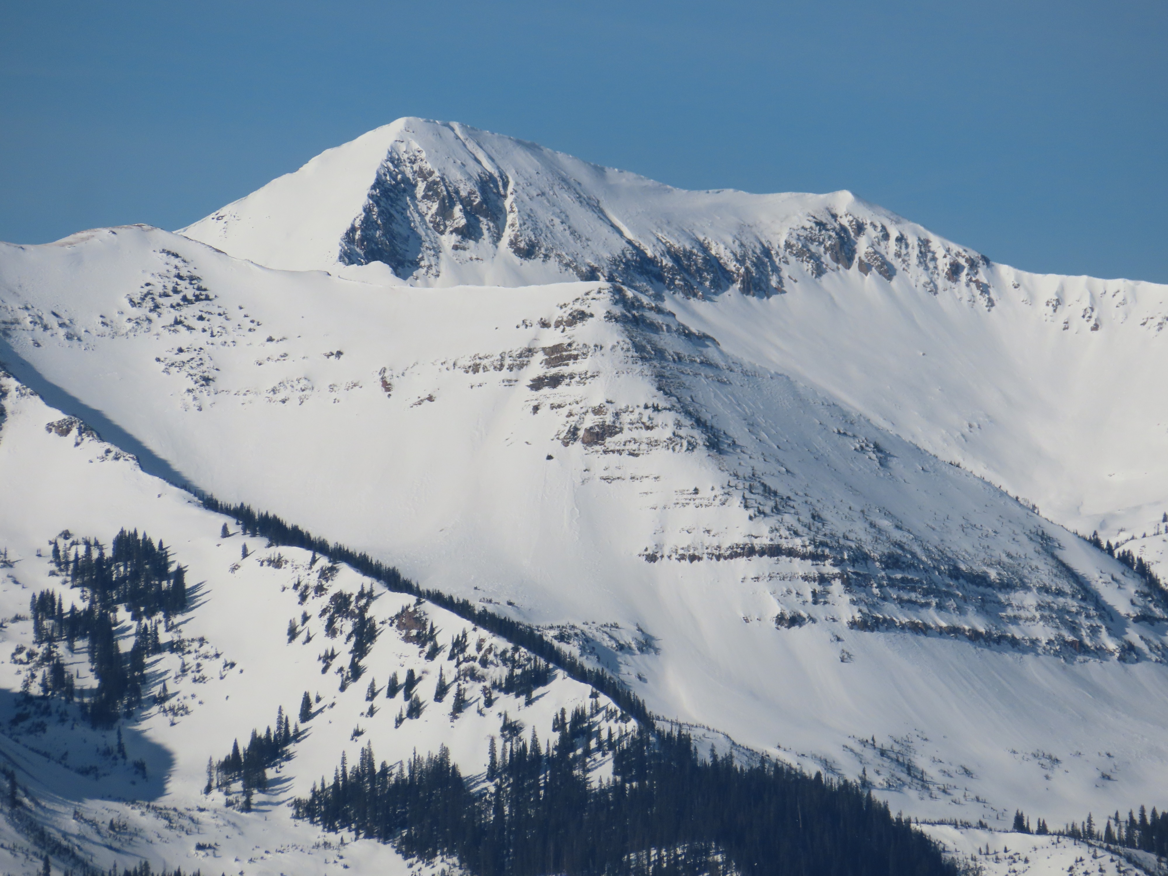
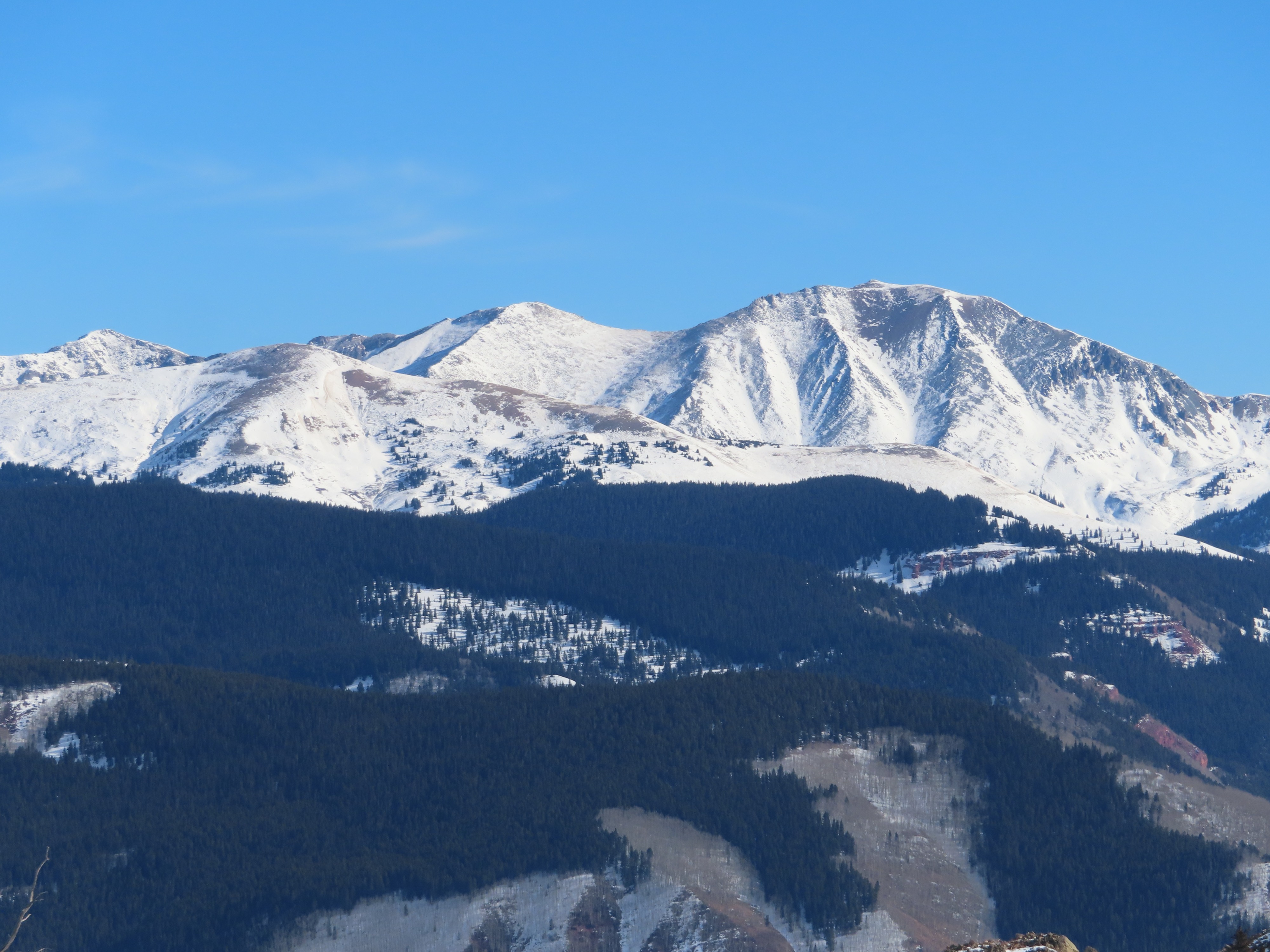
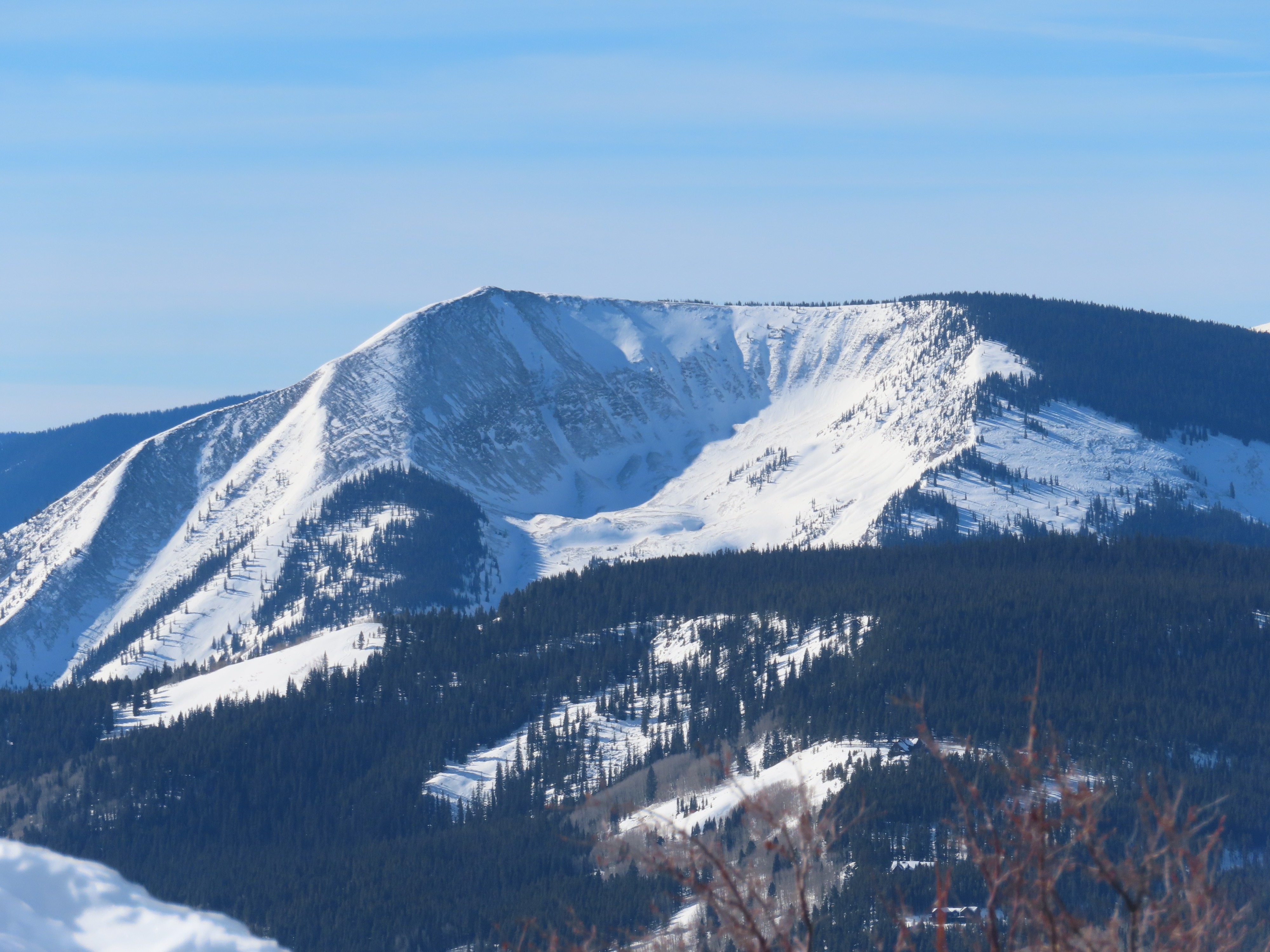
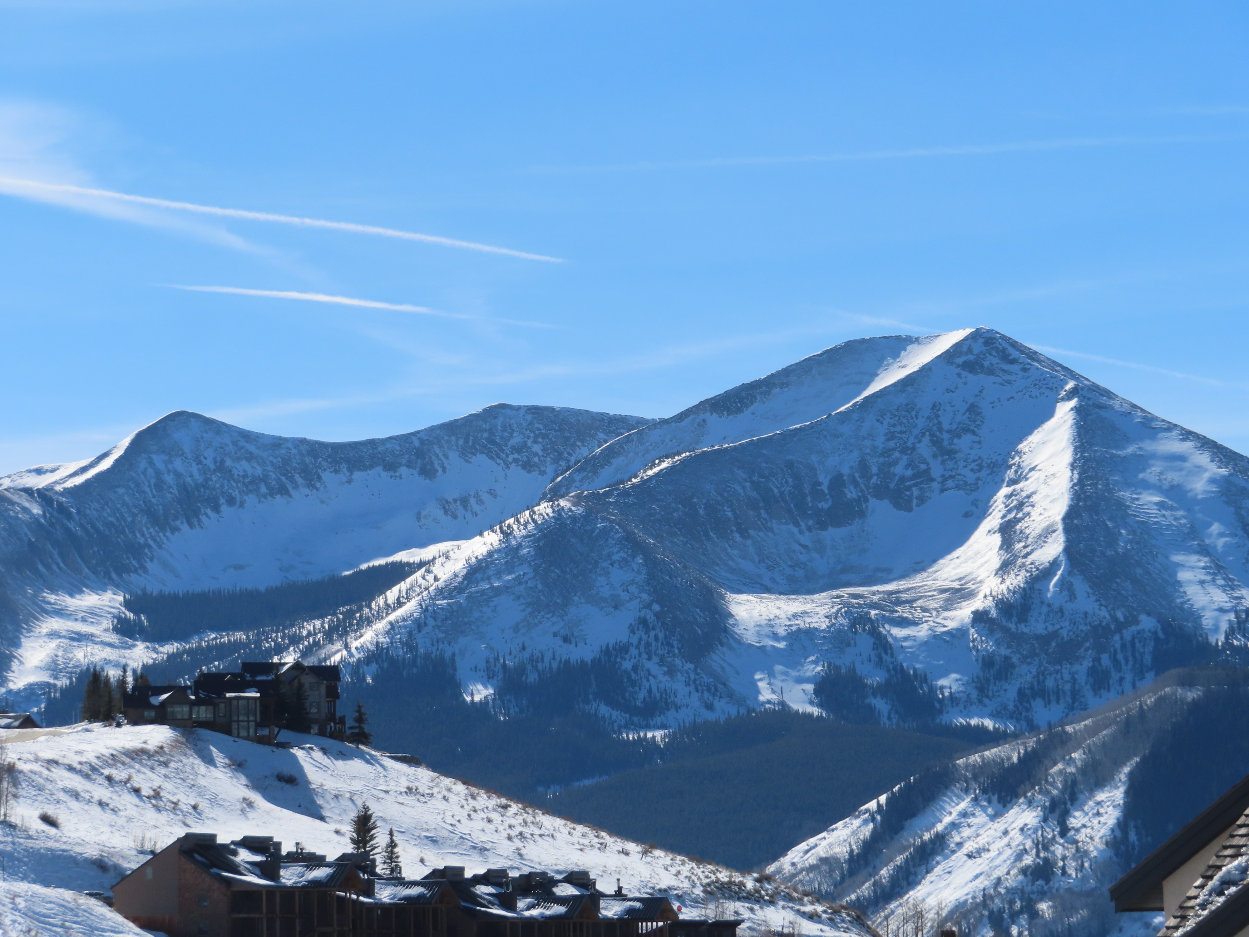
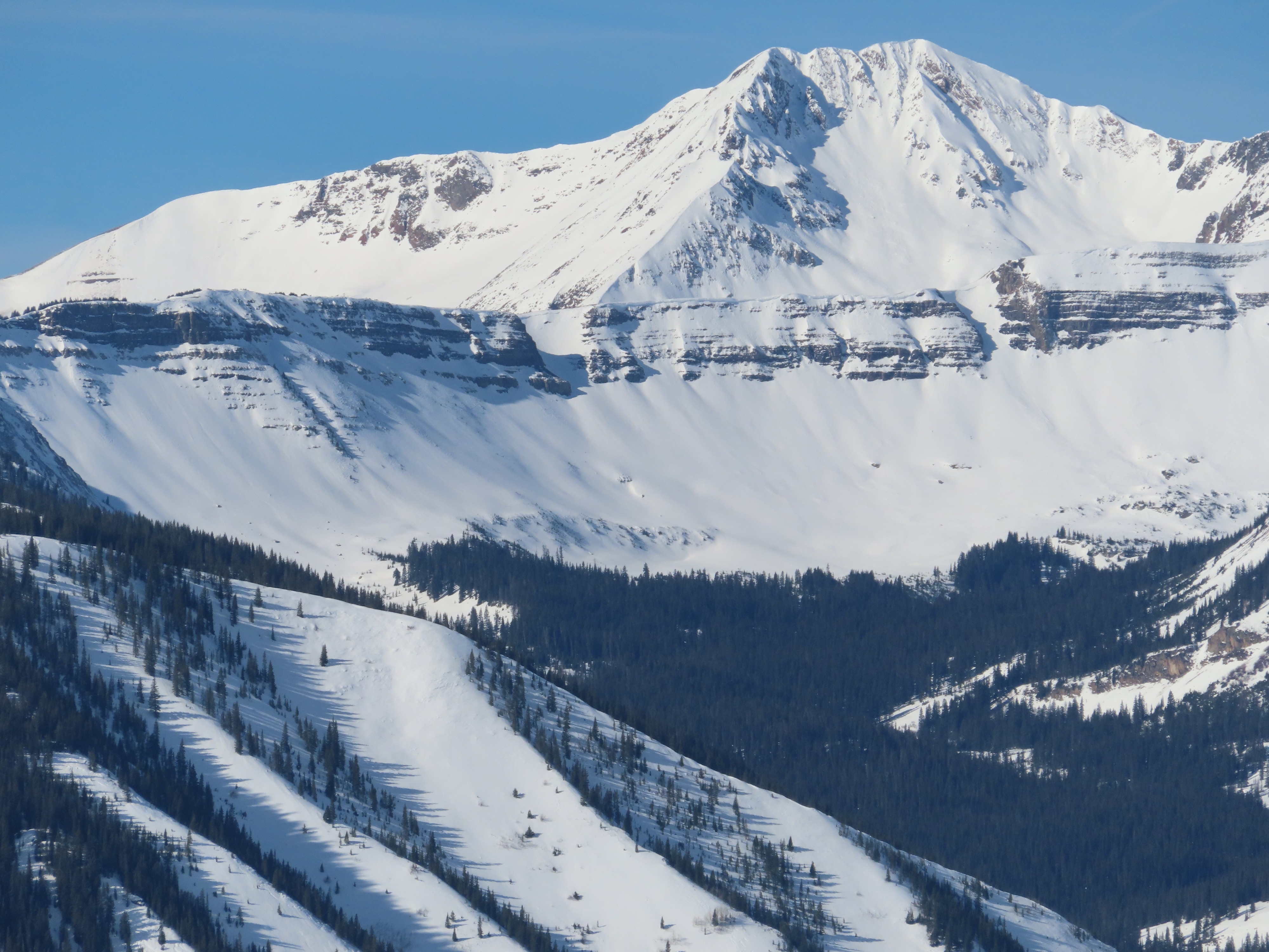
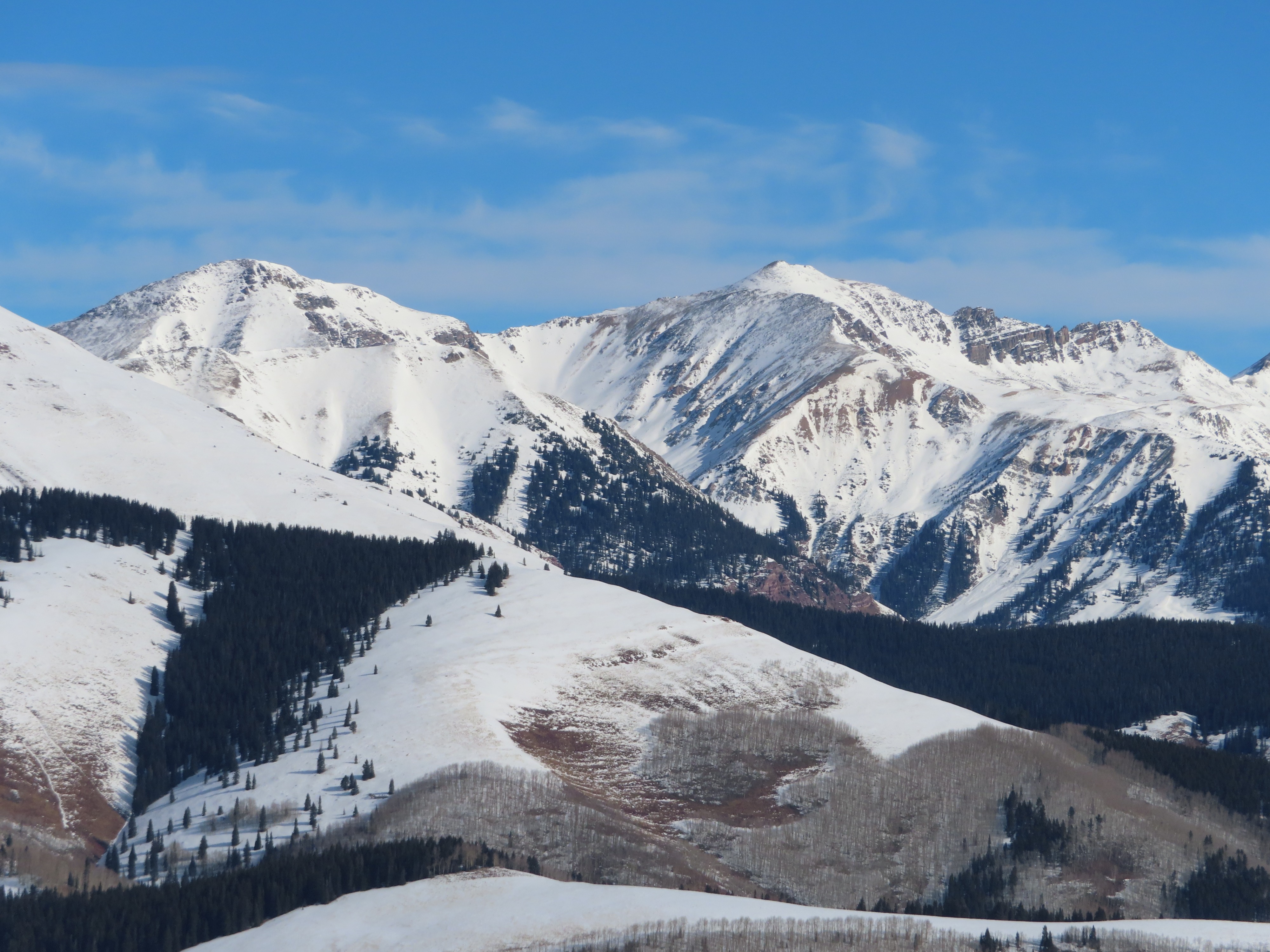
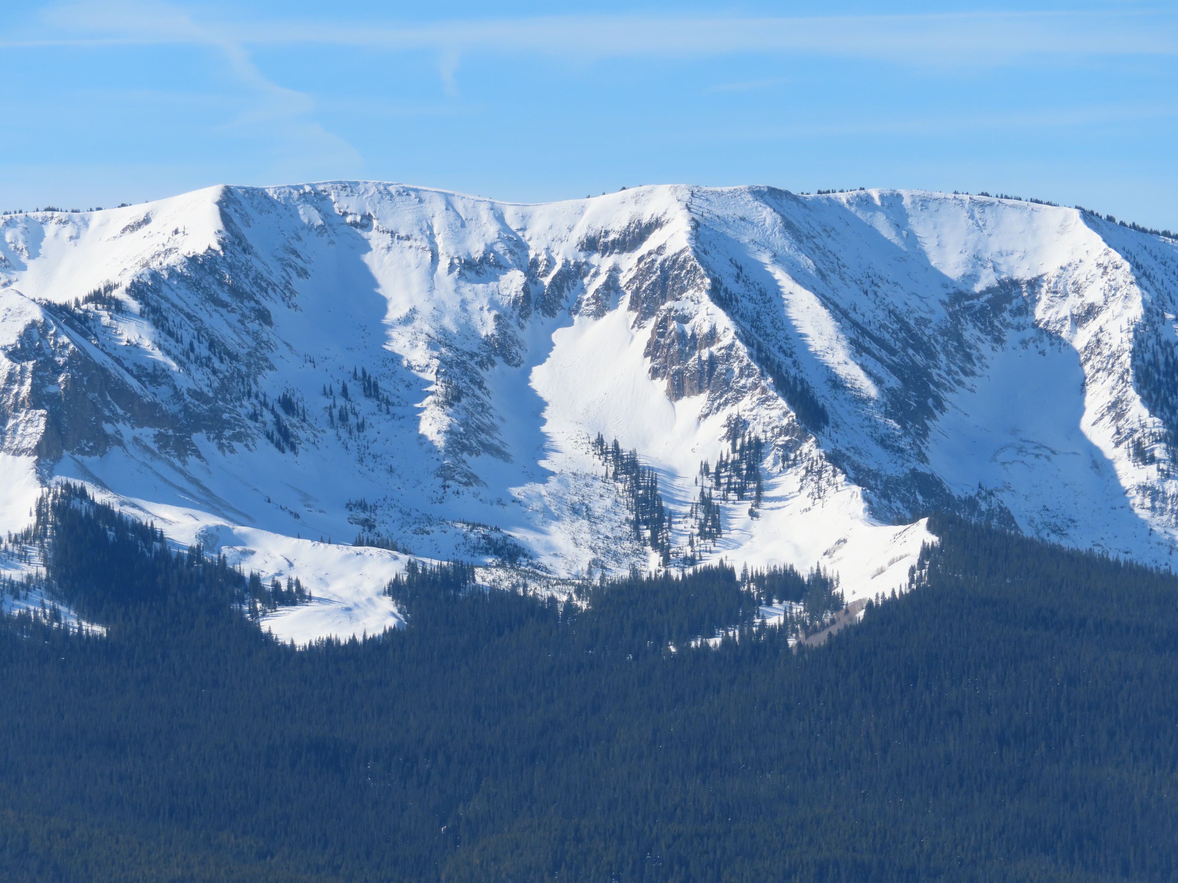
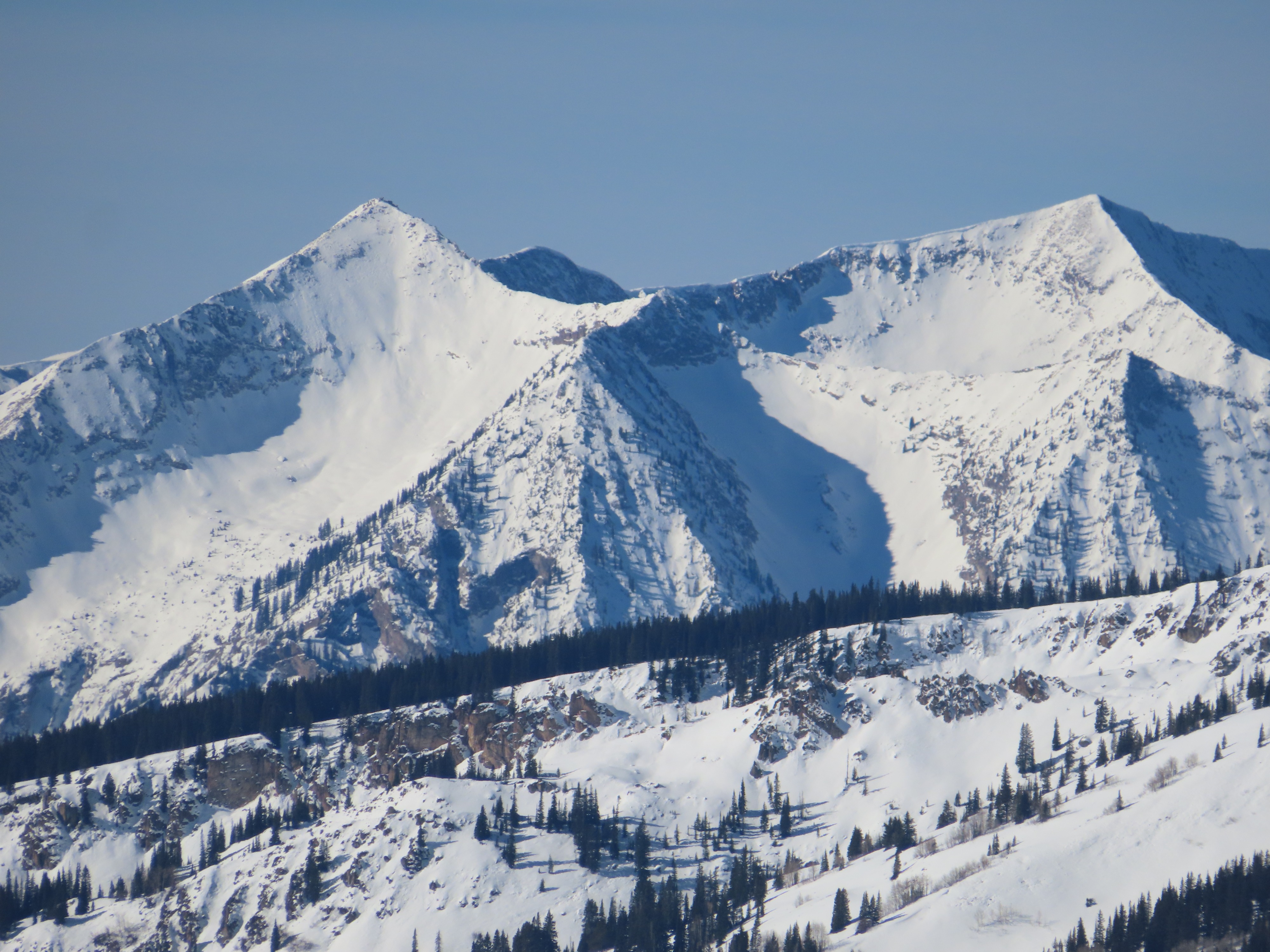
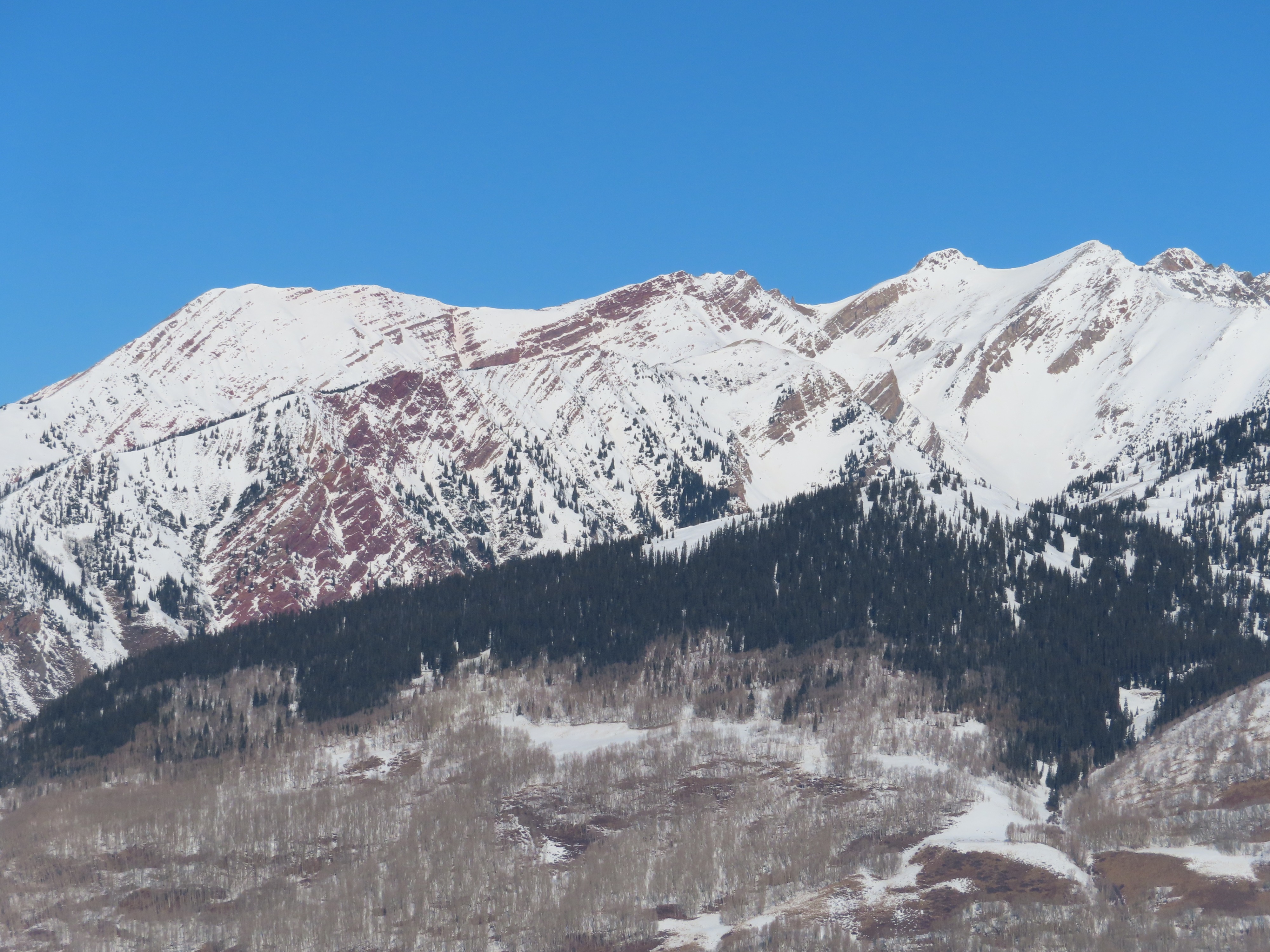
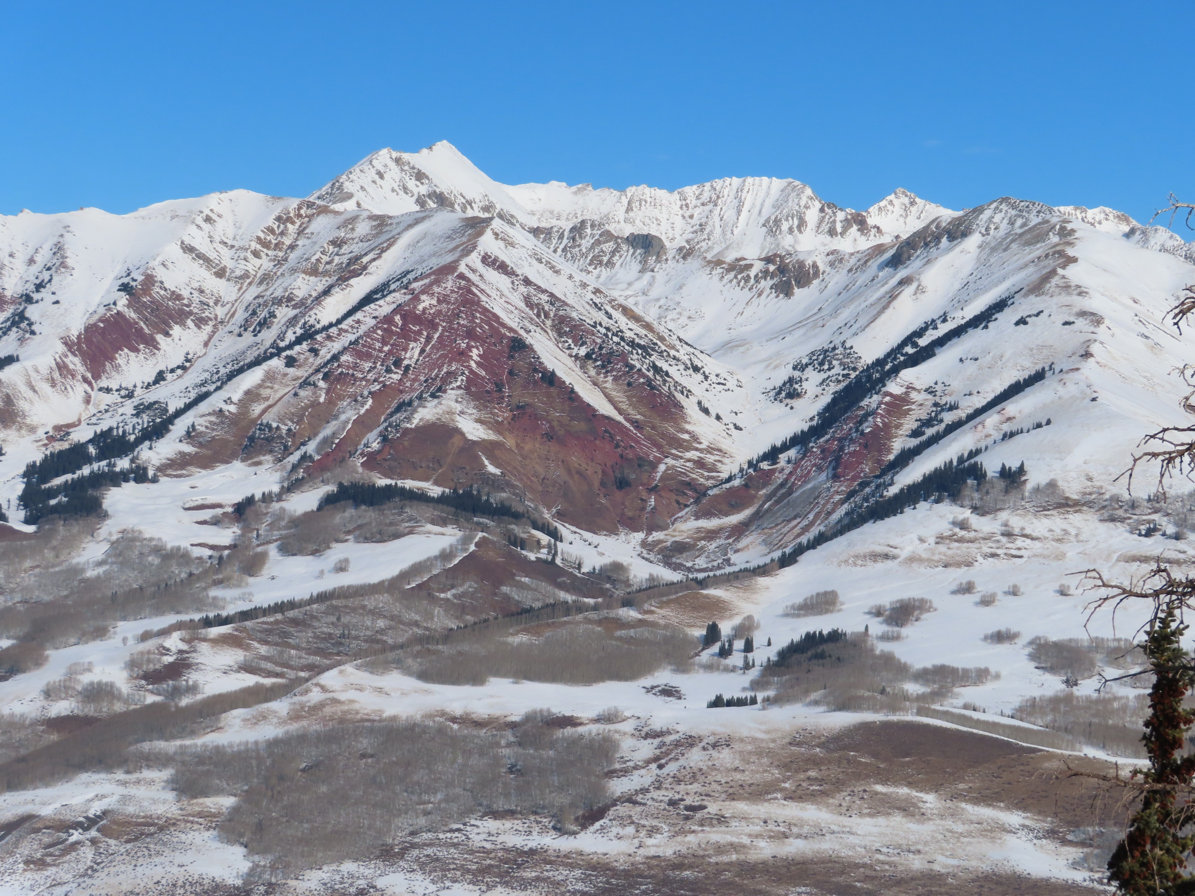
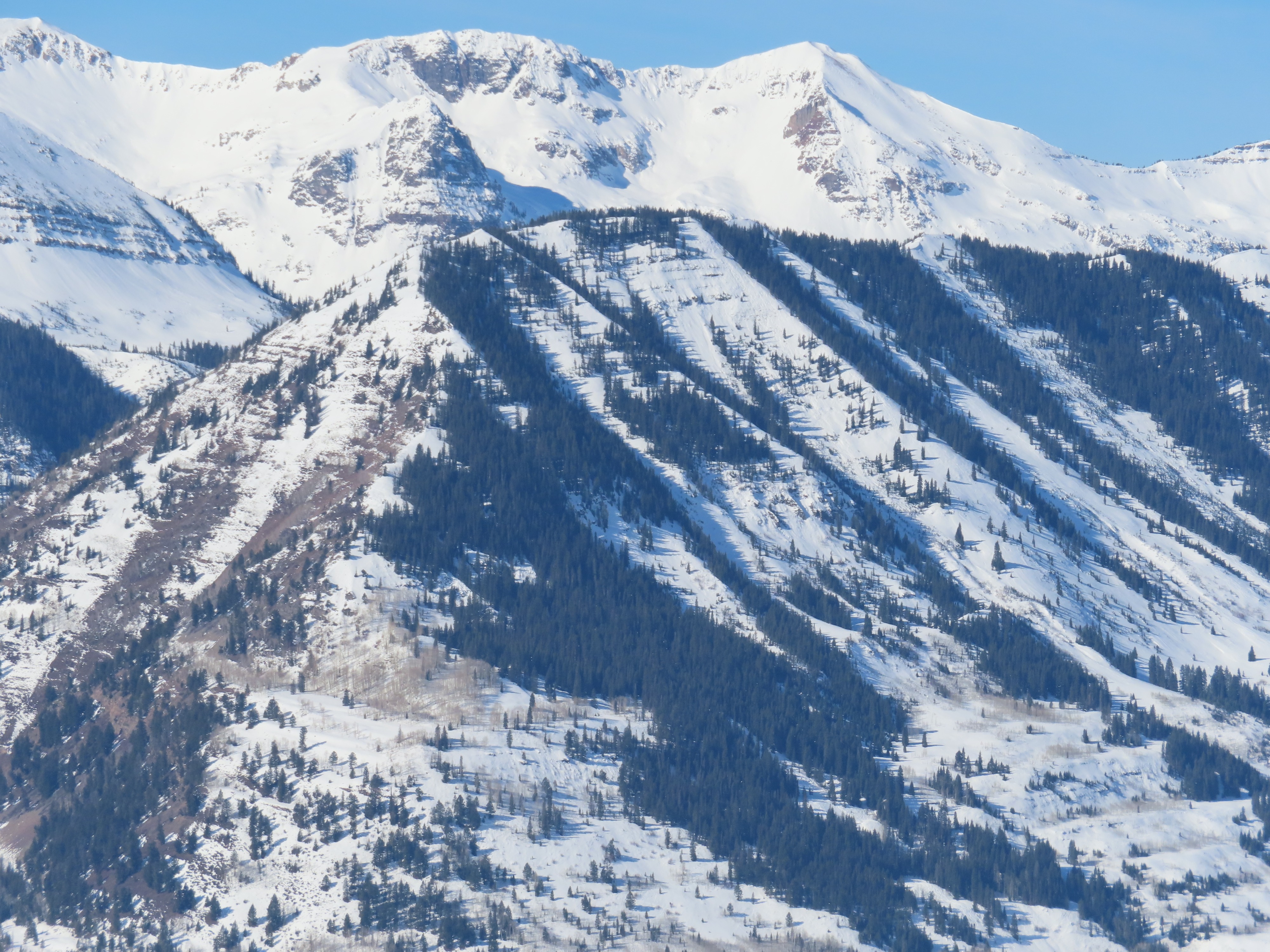
See photos documenting snow coverage and textures of our January dryspell layer, which will likely get buried by a storm starting on January 23rd. Some of the wind-exposed northerlies in the Southeast Mountains (like Carbon and Whetstone) are blown back to talus, more than usual this time of year. Many of the low-elevation steep southerlies in the Southeast Mountains are melted back to patchy coverage or dirt. In the Northwest Mountains, coverage is fairly continuous, and the recent wind event doesn't look as damaging.
Avalanche
- Size
- D2
- Type
- HS
- Aspect
- E
- Trigger
- N
- Elevation
- 12100 ft
A previously undocumented persistent slab near Richmond, which might have run during the last wind event.