
Quick report
- Cracking
- isolated
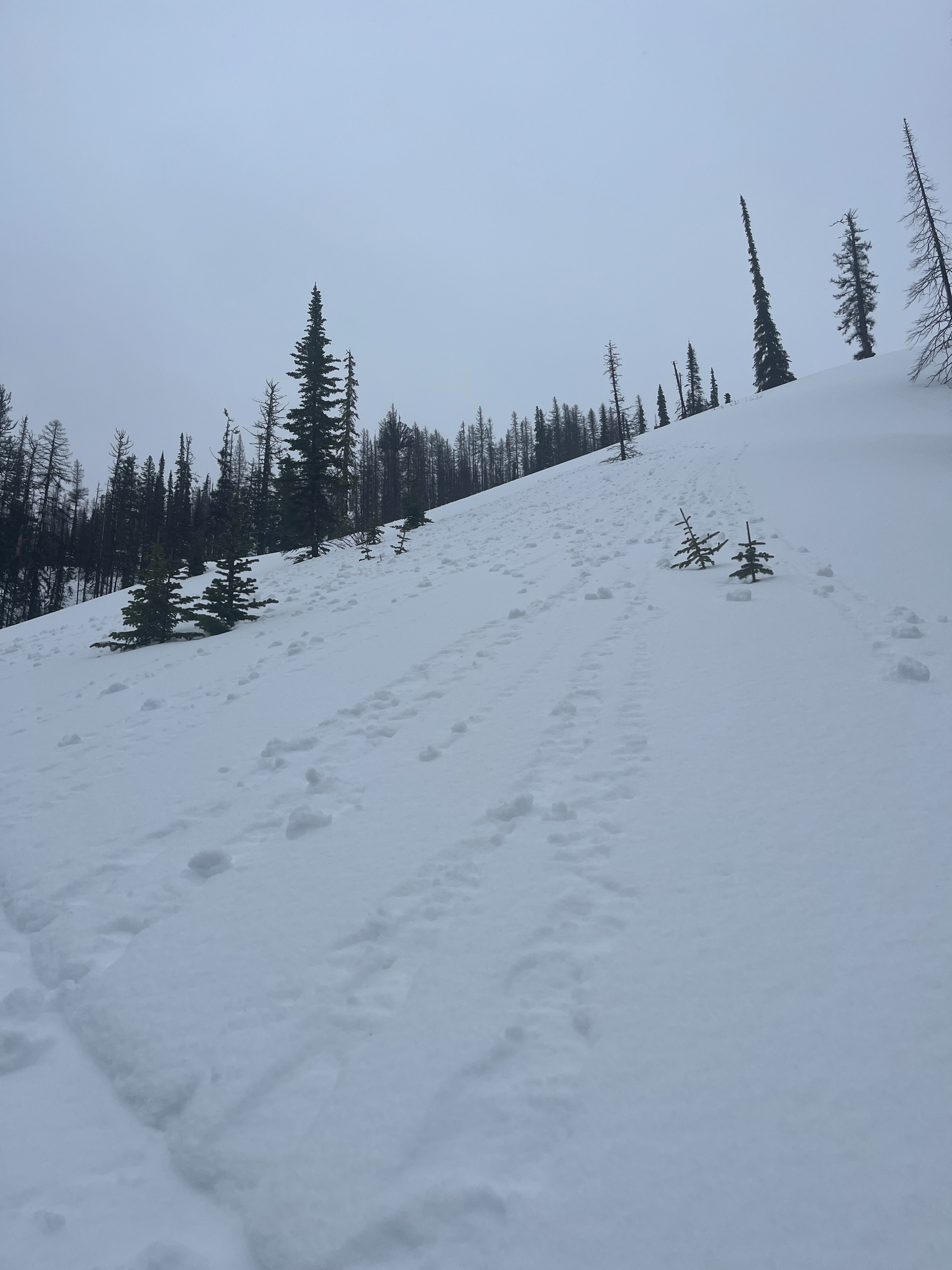
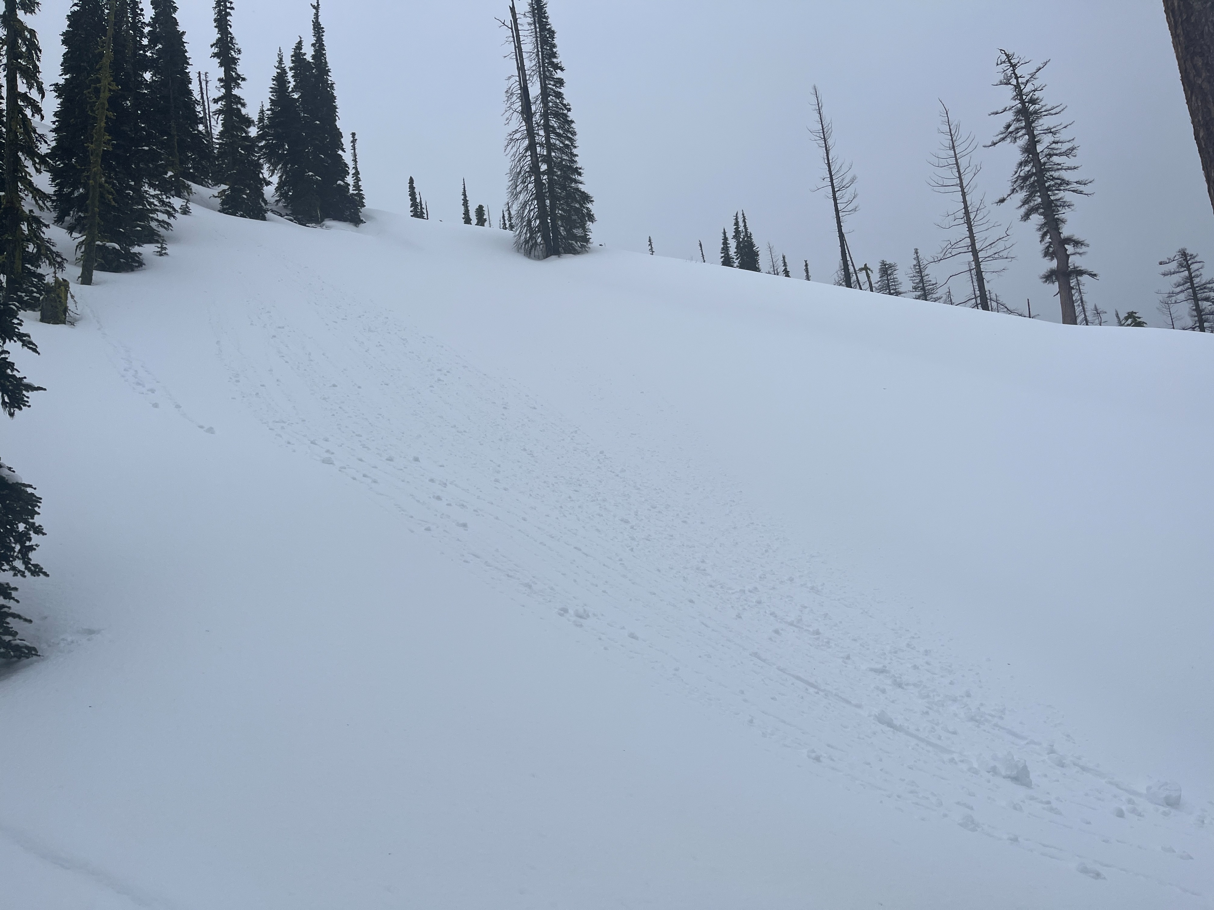
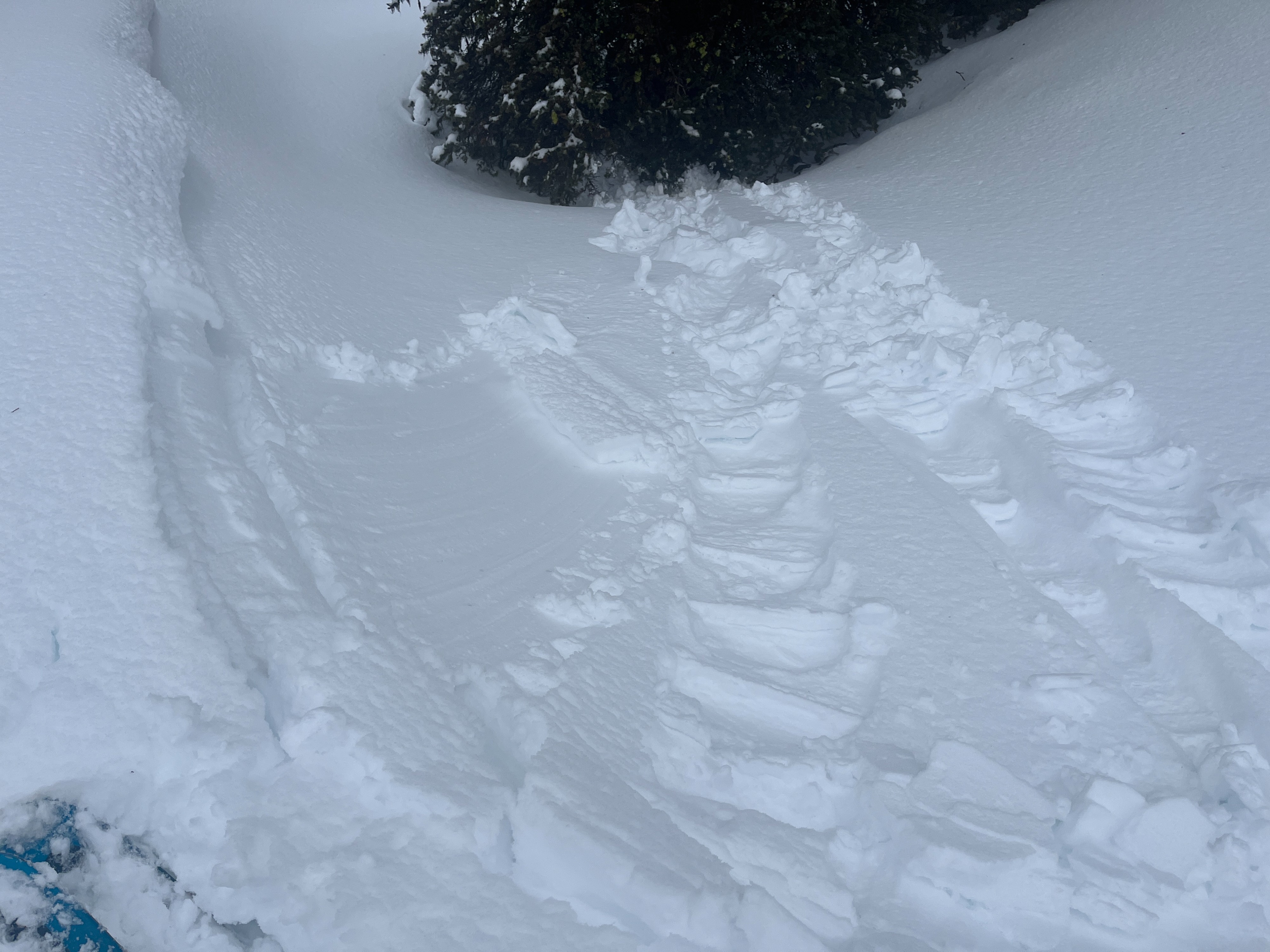
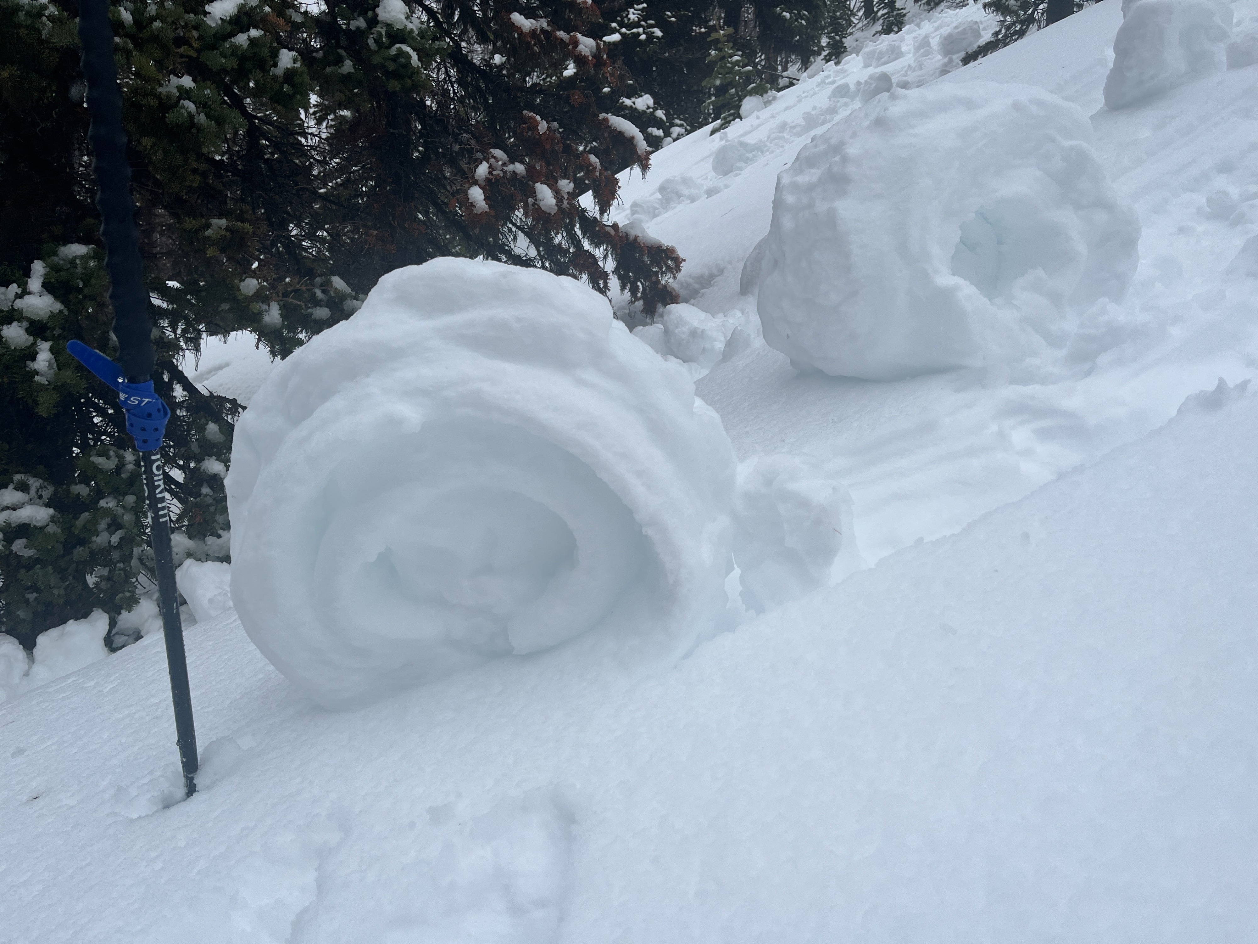
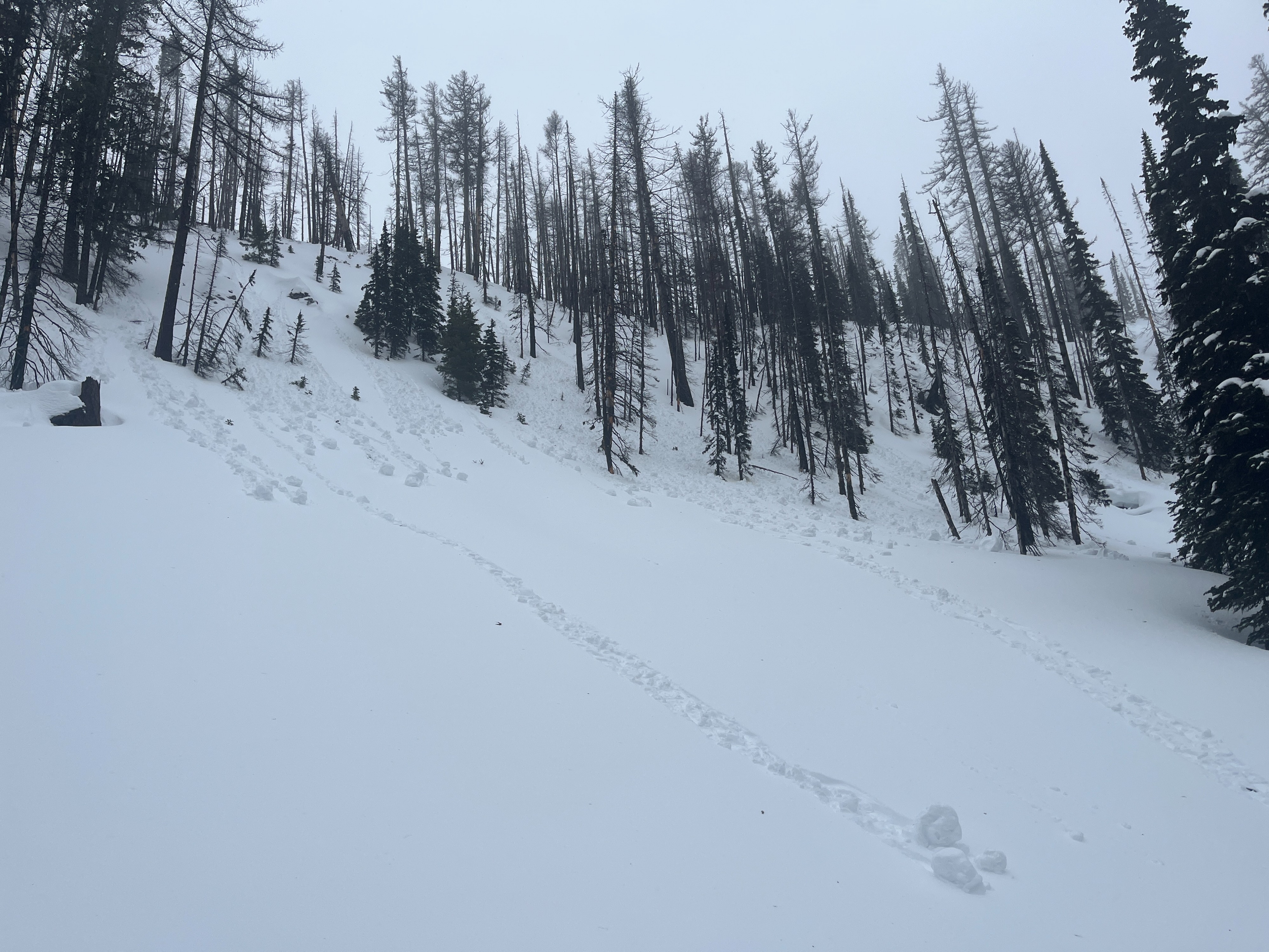
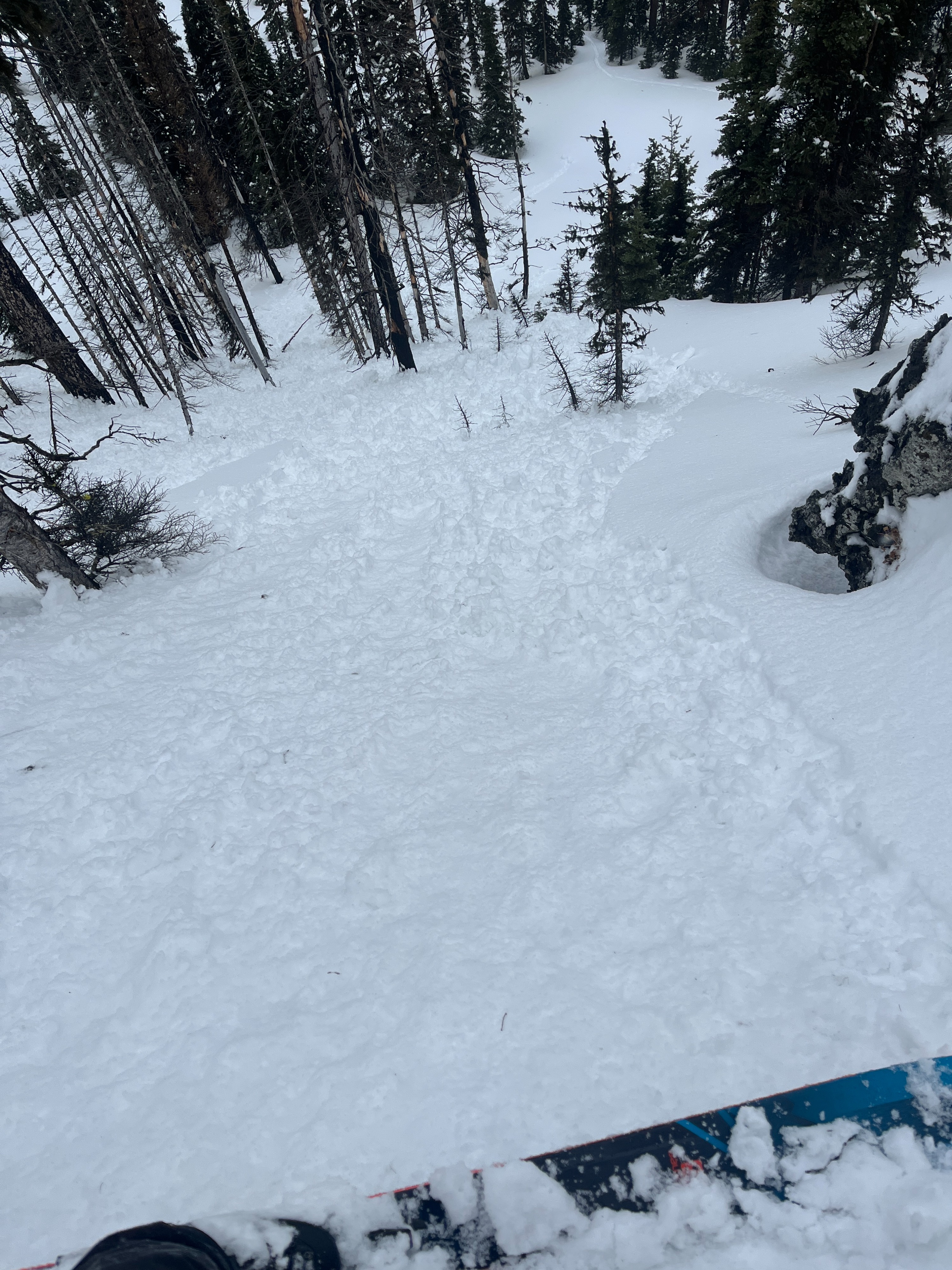
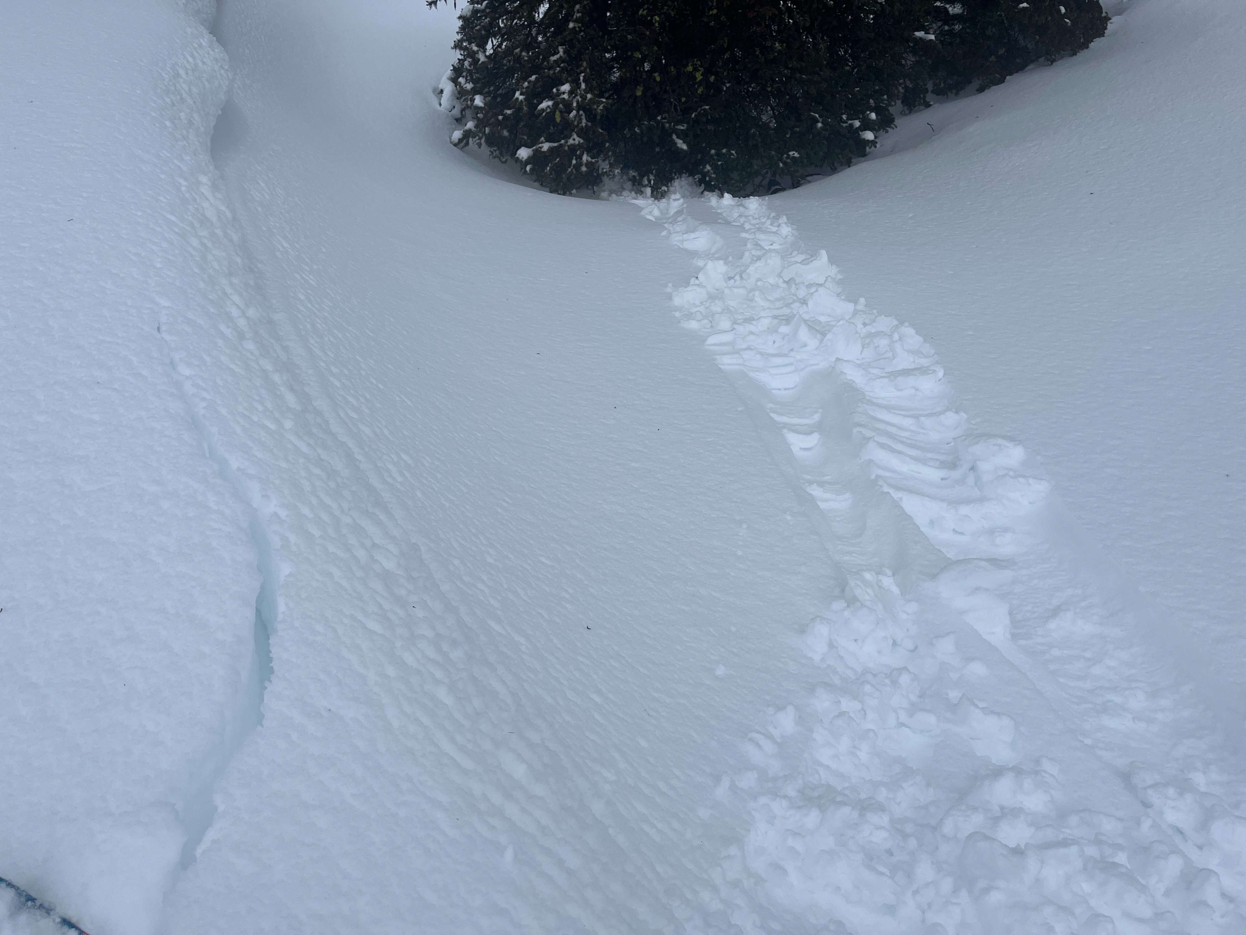
It was one wet and windy day to be outside. The entirety of the snowpack in the area on Blewett Pass that I explored had been influenced by the atmospheric river rolling through. The combination of new snow, wind, and rain made for dangerous, but very interesting conditions. I saw chunks of snow falling from trees near ridgeline and rolling across the slope instead of down. It was easy to push wet snow downhill, and the rollerballs that formed were very large. Intentionally breaking off pieces of cornices and wind lips created wet snow slides and roller balling. It was a bit hard to gauge how sensitive wind slabs were prior to all the warming and wetting, but I think the problem might've been possible.
I observed extensive natural roller balls and pinwheels, none of which quite turned into an avalanche. However I think if the terrain had more sustained steepness they might have. I was able to push on wet snow and trigger small wet loose or wet slabs. I also got isolated cracking in a couple wind loaded terrain features.Weather
- Air Temp
- 28-32
- Cloud Cover
- overcast
- Wind Loading
- previous
- Recent Snowfall
- 42
- Snow Avail For Transport
- none
At the start of my tour, light rain was falling and the wind was calm. Around 11:30a, the wind picked up as did the rain and there were pulses of sleet. The wind remained elevated and I experienced strong gusts at ridgeline. The rain petered out around 1:00p but picked back up just as a light sprinkle when I got back to the TH.
Snowpack
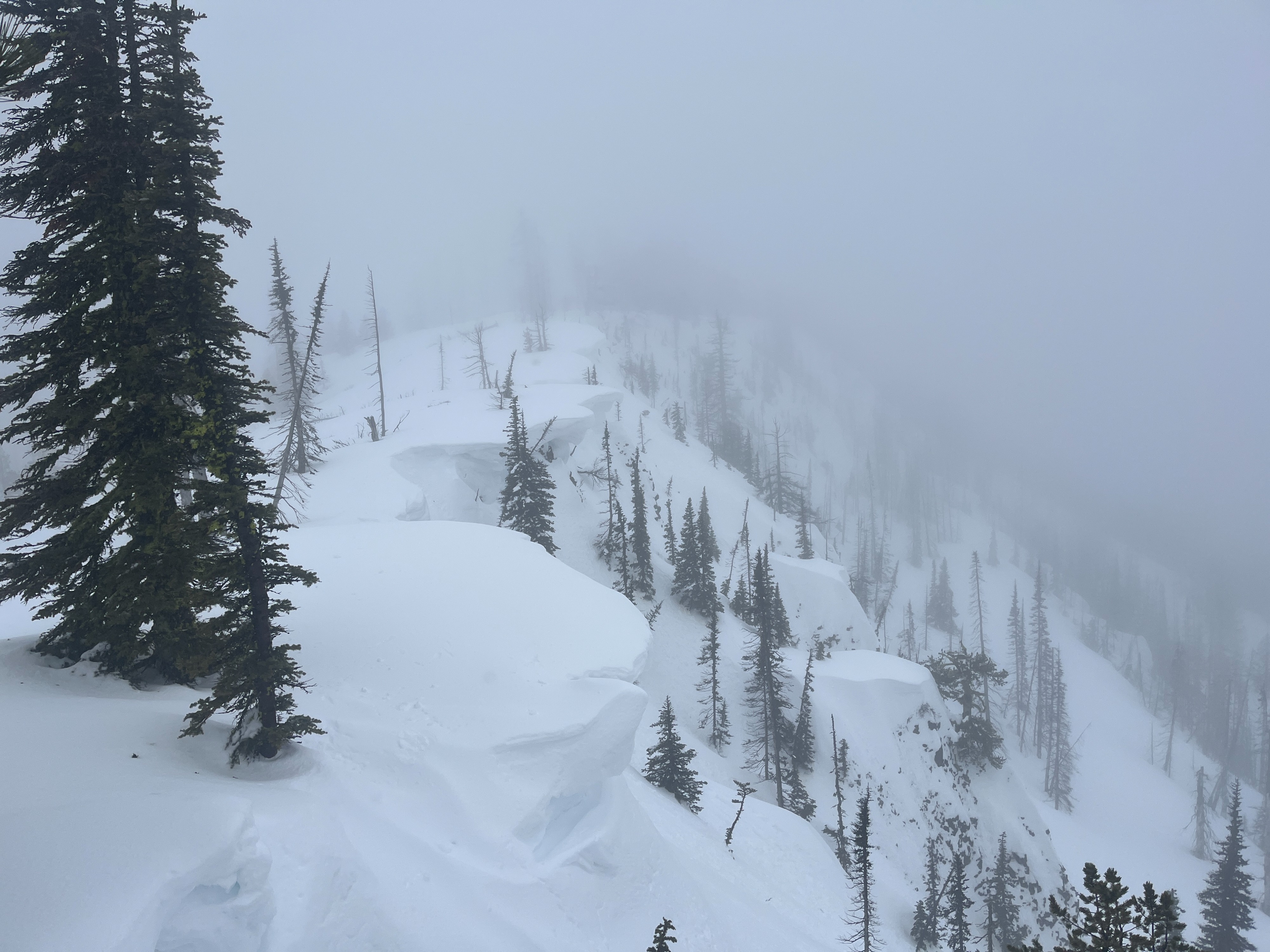
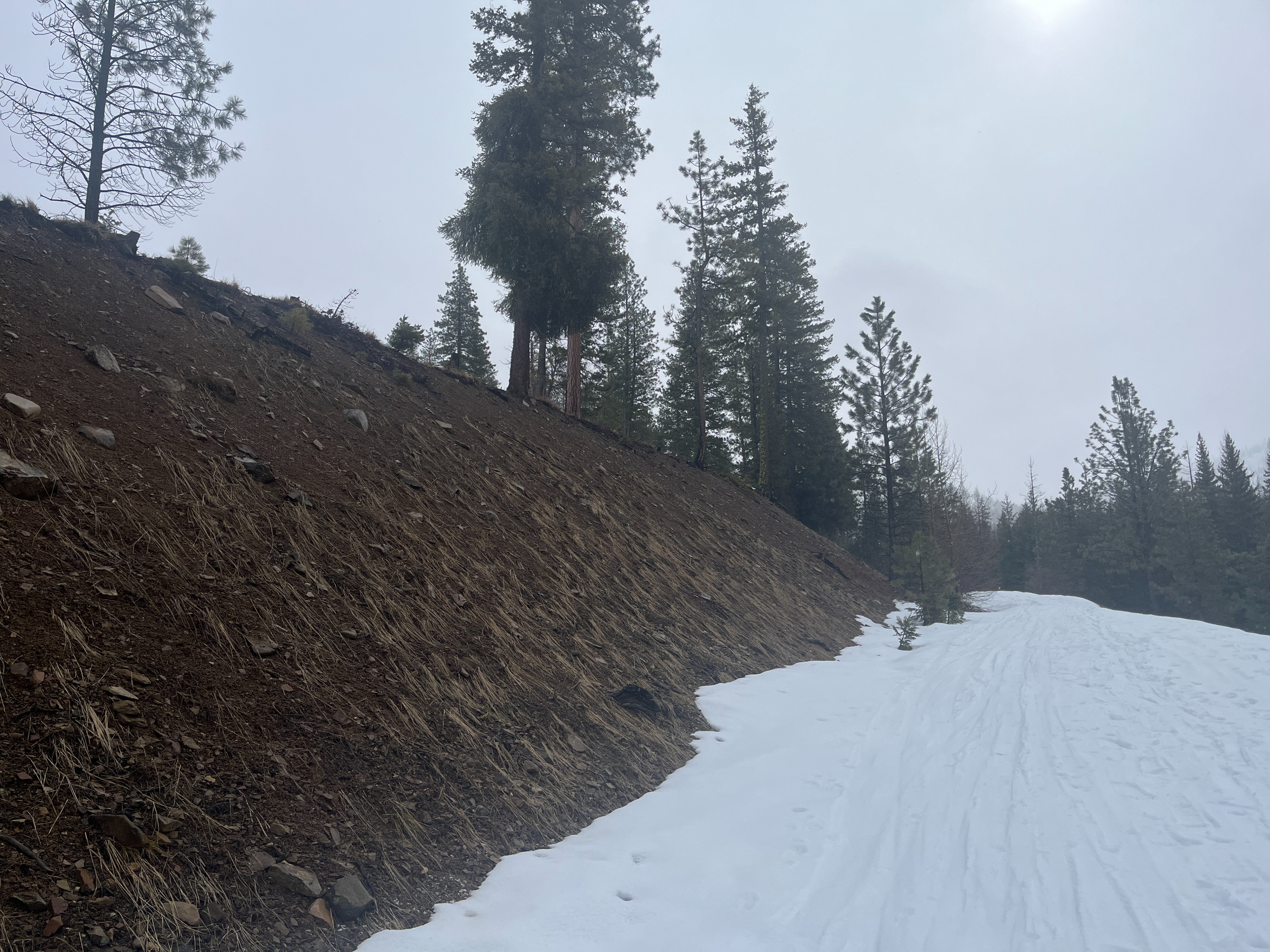
Snow coverage is very lacking on south and west aspects at lower elevations. Elsewhere at these elevations, the average snow depth is 39-33in/100-110cm. The surface of the snowpack was wet at all elevations I traveled to. I ran into two skiers who had just descended from the top of the ridge about 20 minutes prior and they said the snow was generally still dry when they were up there. This means the timing of the snow between 5000-5800 ft getting wet was sometime between 11:00-11:30am. At ridgeline, I observed very large cornice development that I couldn't help but think would be a very bad time if they collapsed due to moisture working it's way down into them.
I dug a pit on a north aspect at 5500 ft. The depth of this pit was 72in/182cm. I found 5in/12cm of wet snow at the surface, and 12in/30cm more of moist to wet snow. All of this was overlaying a thin crust that water was pooling on. Below this, the rest of the snowpack was dry. I found various layers of thick melt freeze crusts, rounded grains, and facets at the bottom. I performed a compression test and got moderate sudden collapses within the moist/wet snow (CT14SC, CT19SC). I performed an extended column test and got no results (ECTX).