

Quick report
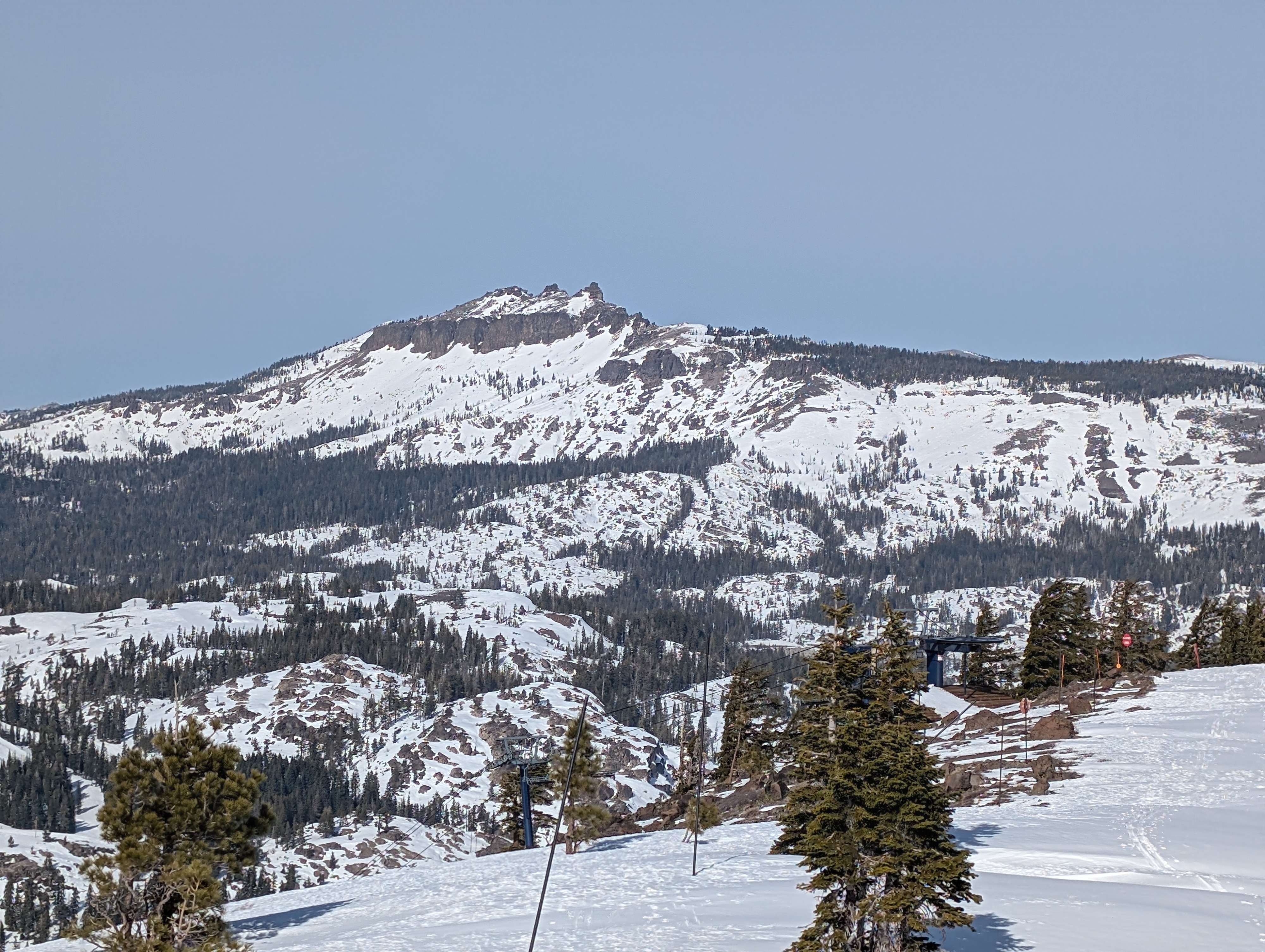
2-3 inches of new snow accumulated in the Mt. Judah area on Tuesday night. It has started to consolidate, but it still remained cold and soft in most places today, especially above about 7500 ft. The new snow rests on top of the old variable surfaces and does a good job of concealing them, but it remains easy to feel those surfaces while traveling. We found smooth, consistent conditions in areas where the old snow surfaces were smooth before Tuesday. On slopes with old tracks under the new snow or where variable, uneven, inconsistent conditions existed before Tuesday, we could feel everything below the snow, and travel was more challenging.
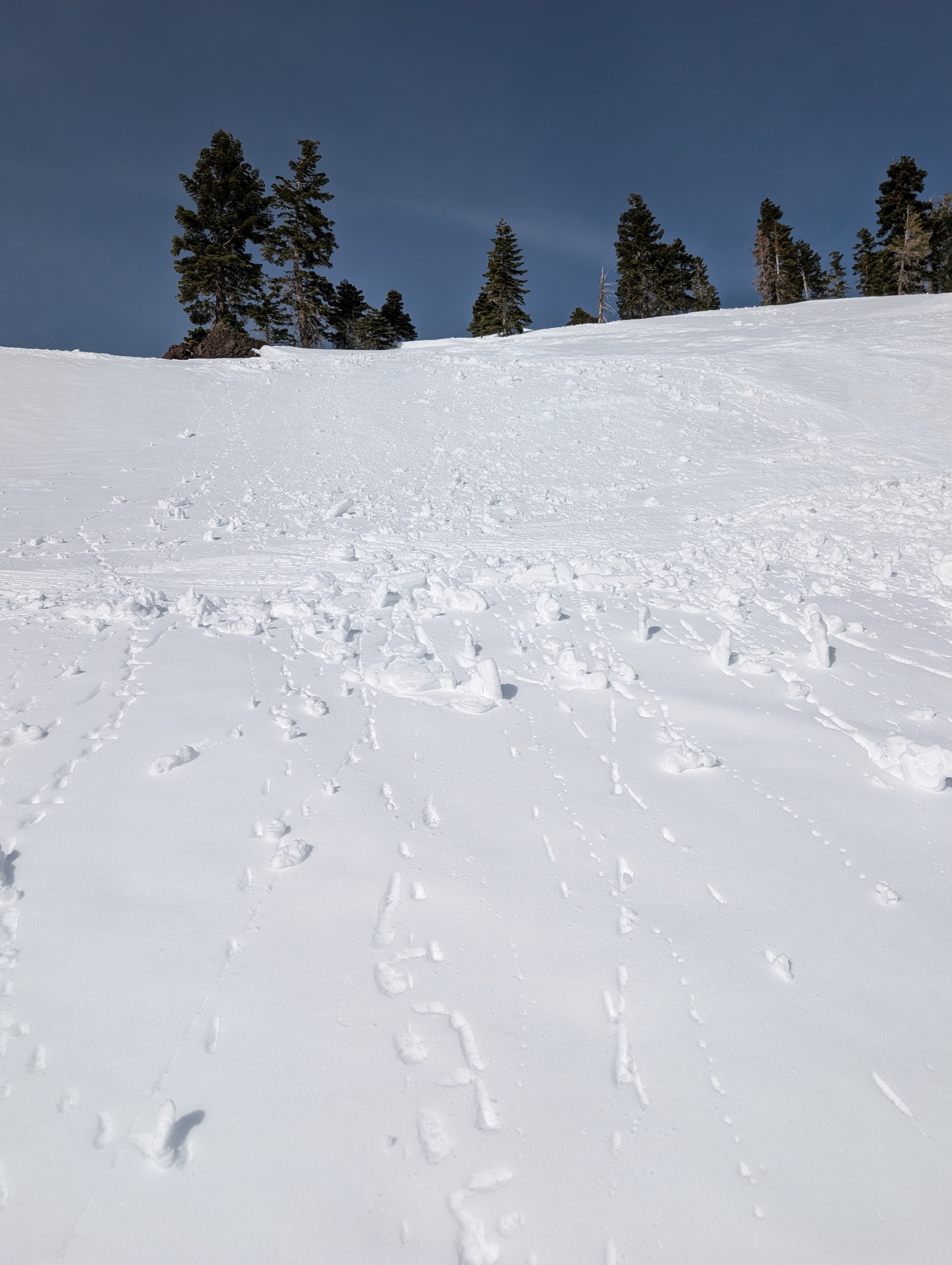
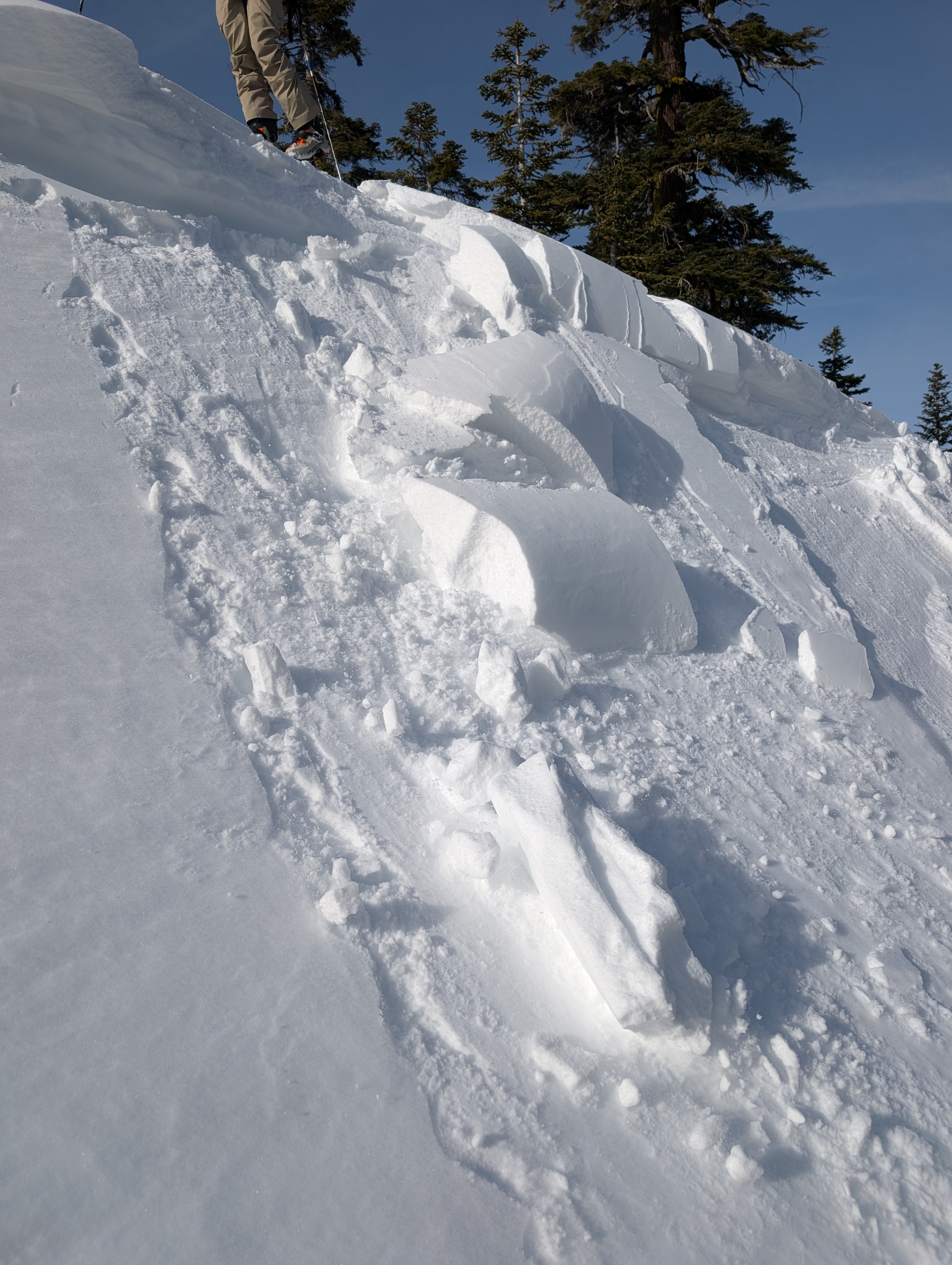
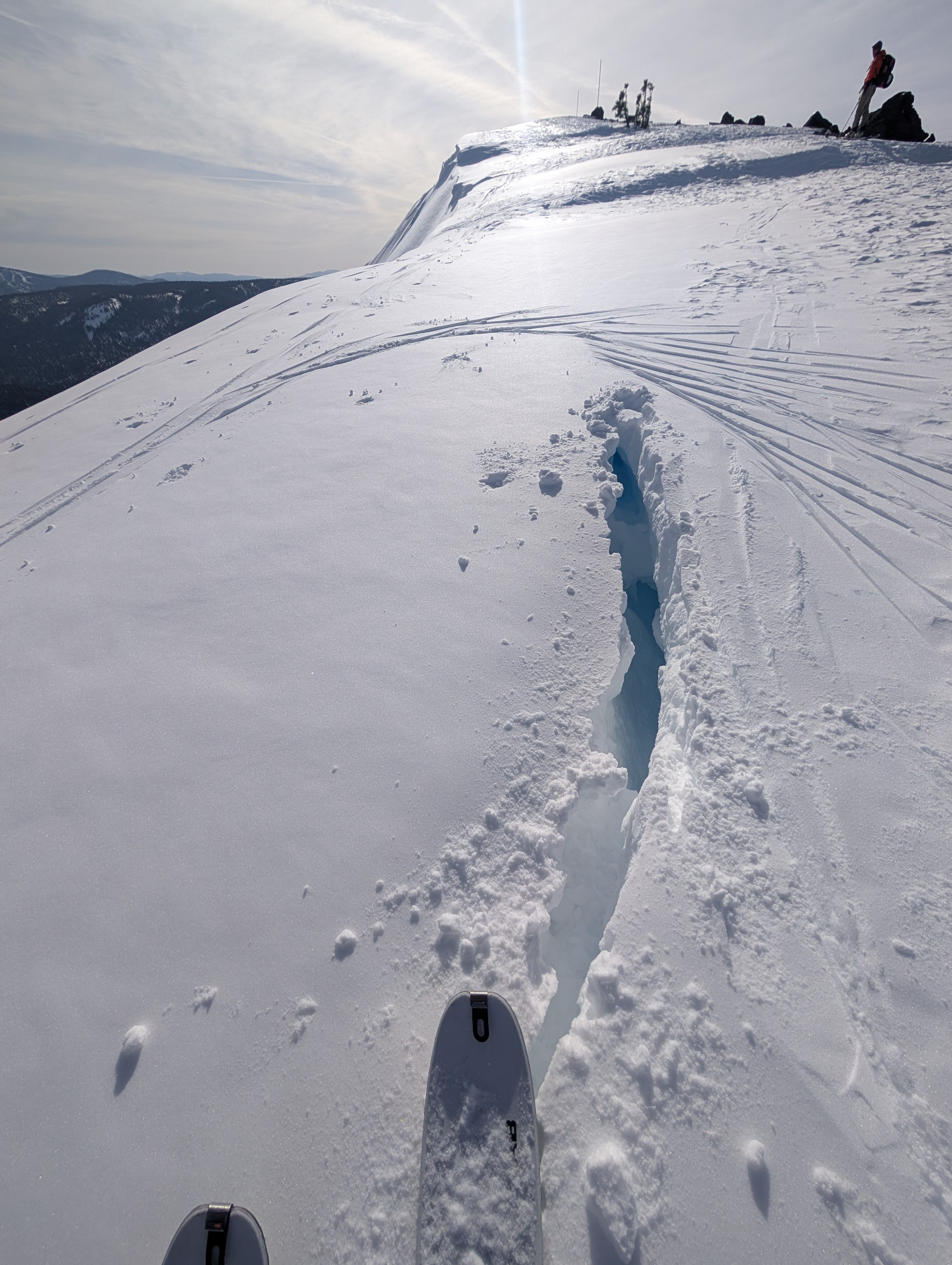
Today's warm, sunny weather has begun to transition the new snow into melt-freeze snow on sunny slopes, but it has not yet fully changed into corn snow at the upper elevations. Ski cuts on slopes with the most recent snow produced small roller balls today. In places where less than an inch of new snow fell, like the sunny slopes below about 7400 ft, spring-like melt-freeze snow has already returned. Colder, softer snow still existed on N-NE-E aspects today on Mt. Judah. Some small drifts and cornices had formed along the ridges, but ski cuts and dropping cornices onto the areas of drifted snow did not produce signs of instability.
Overall, the new snow provided a decent refresh in some places and just concealed uneven, variable surfaces in other places.
Weather
- Air Temp
- 46 °F
- Cloud Cover
- few
- Wind Loading
- light
- Recent Snowfall
- 5
- Snow Avail For Transport
- small smounts
Some thin cloud cover delayed the most intense warming, but temperatures rose into the upper 40s and low 50s today, and the sun eventually burned through the thin clouds.