
Quick report
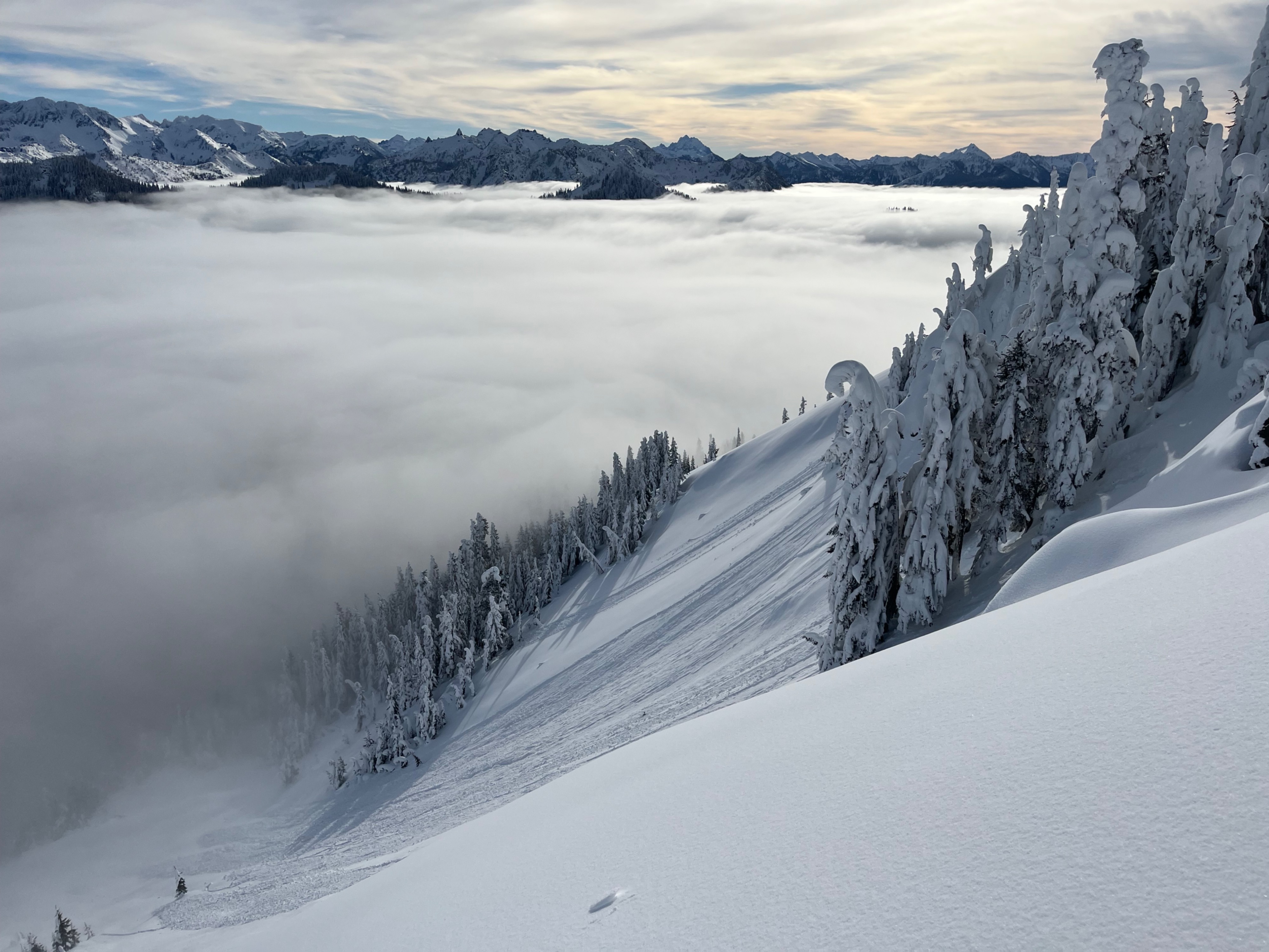
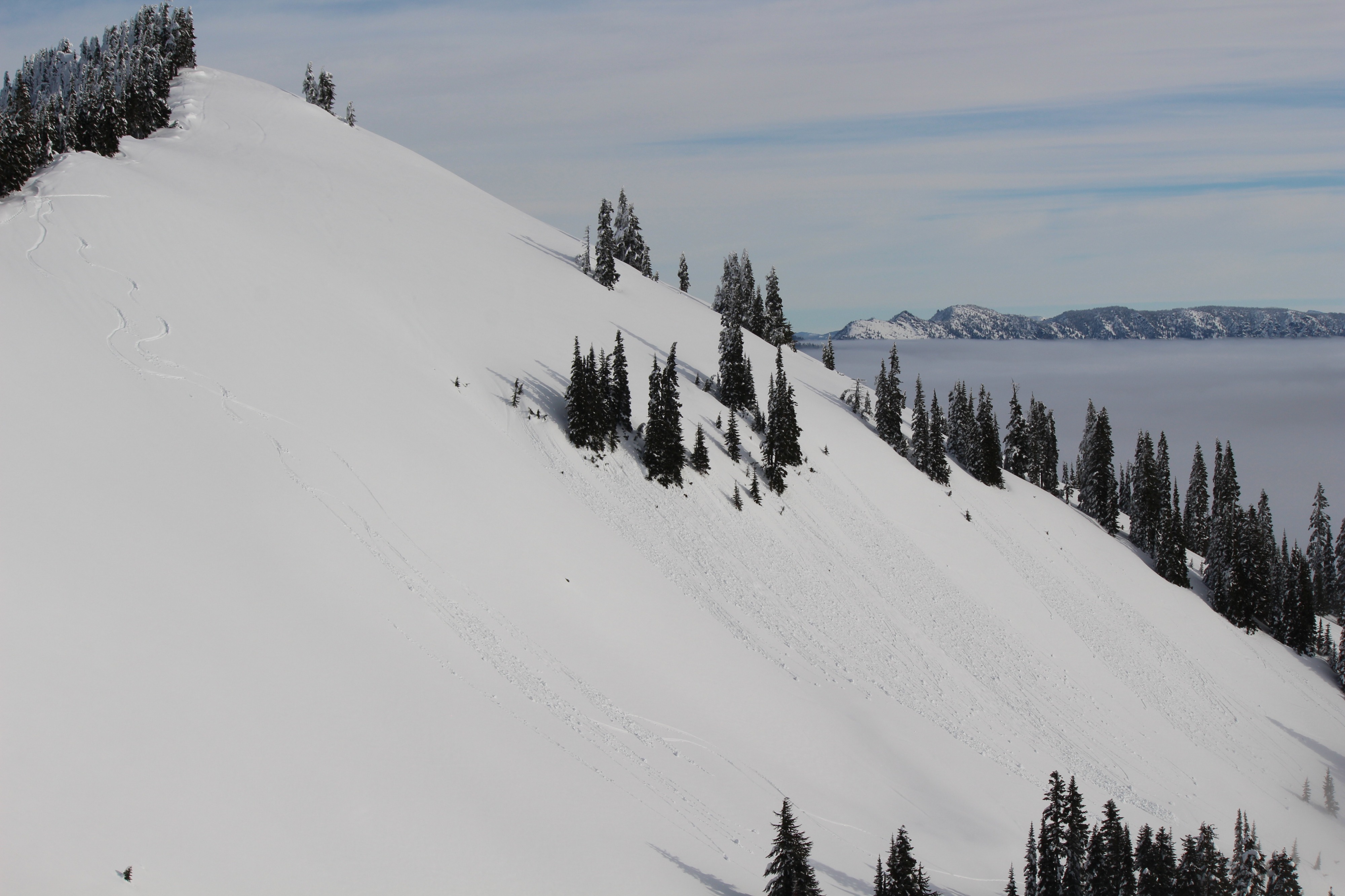
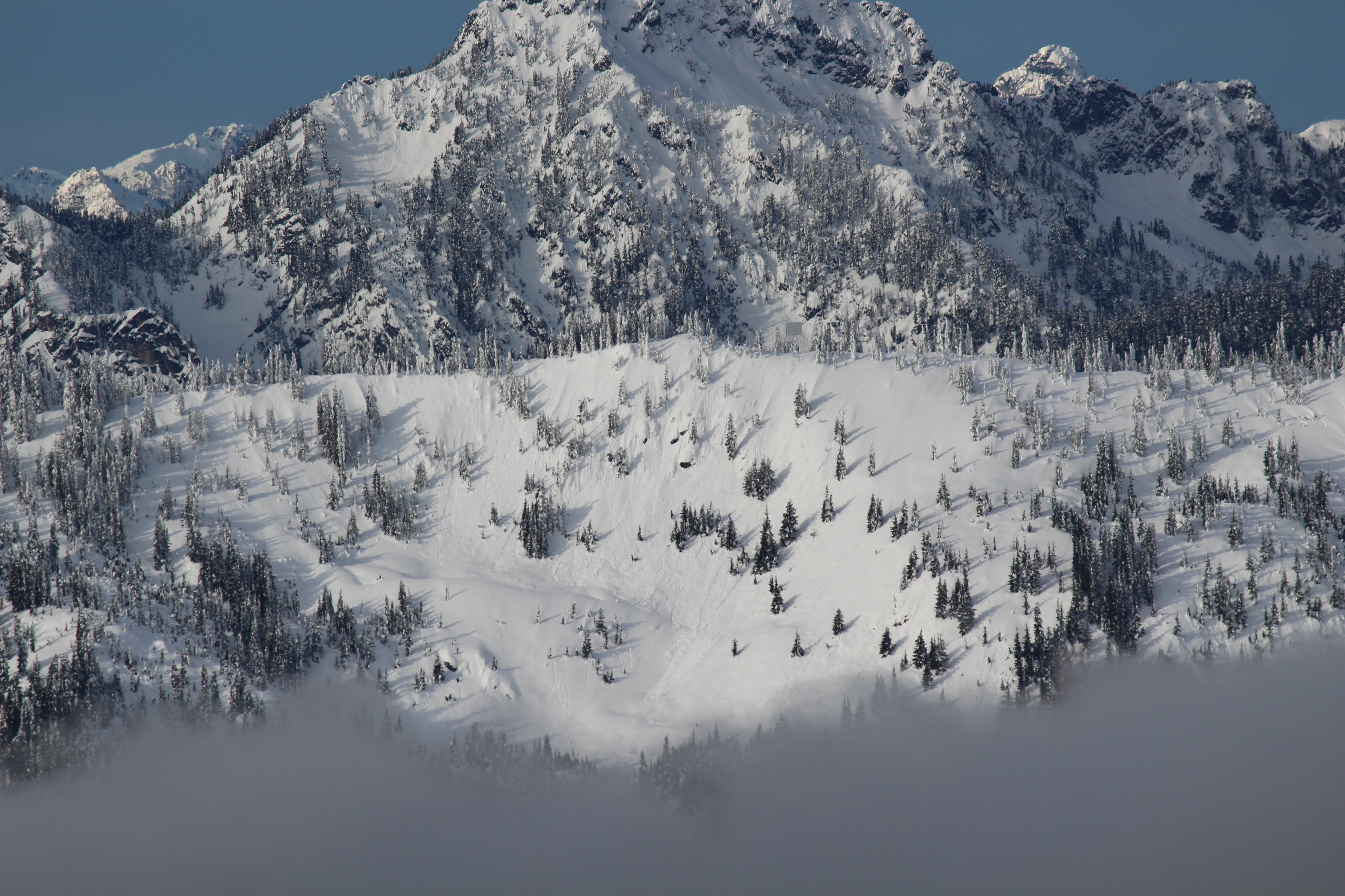
Recent storm instabilities appear to be settling out and I didn't find weaknesses I was concerned about. I dug pits or did quick hand pits in many location from 5000-5800ft on different aspects, and all results were similar, with stubborn failures at the new/old interface where avalanche activity was noted on Sunday. Increasing clouds and chillier temperatures than expected kept any warming at bay, and crusts stayed firm. No wet loose avalanche activity occurred. There were plenty of rollerballs and small to medium sized wet loose avalanches from the previous few days.
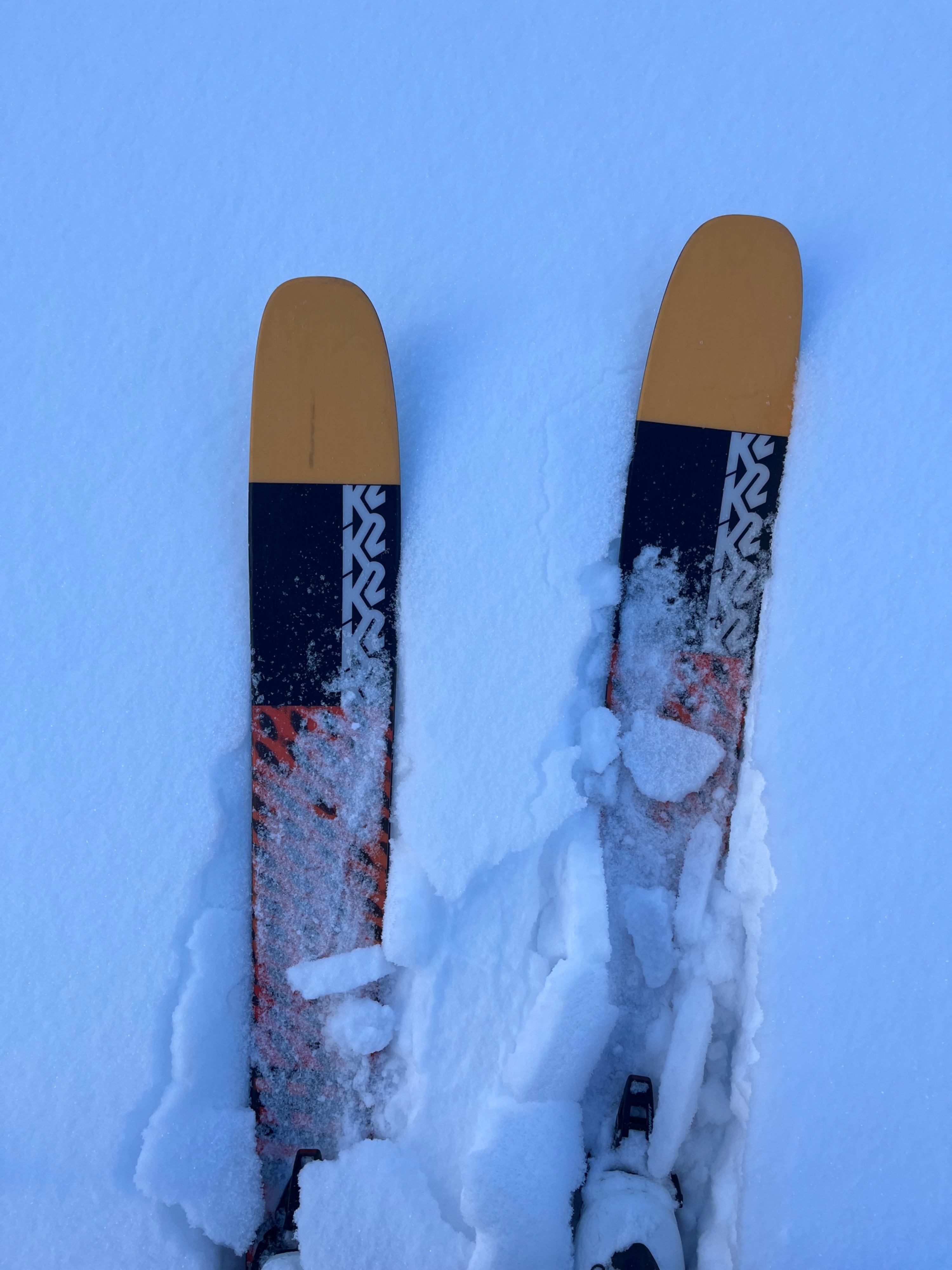
The main hazard was traveling over variable crusts. It was a day to stay very conservative with route selection.
Weather
- Air Temp
- 35
- Cloud Cover
- broken
- Wind Loading
- none
- Snow Avail For Transport
- small smounts
Thick low elevation clouds were present in most places from 4300-5000ft. Calm. Sky cover shifted from partly cloudy in the morning to overcast in the afternoon.
Snowpack
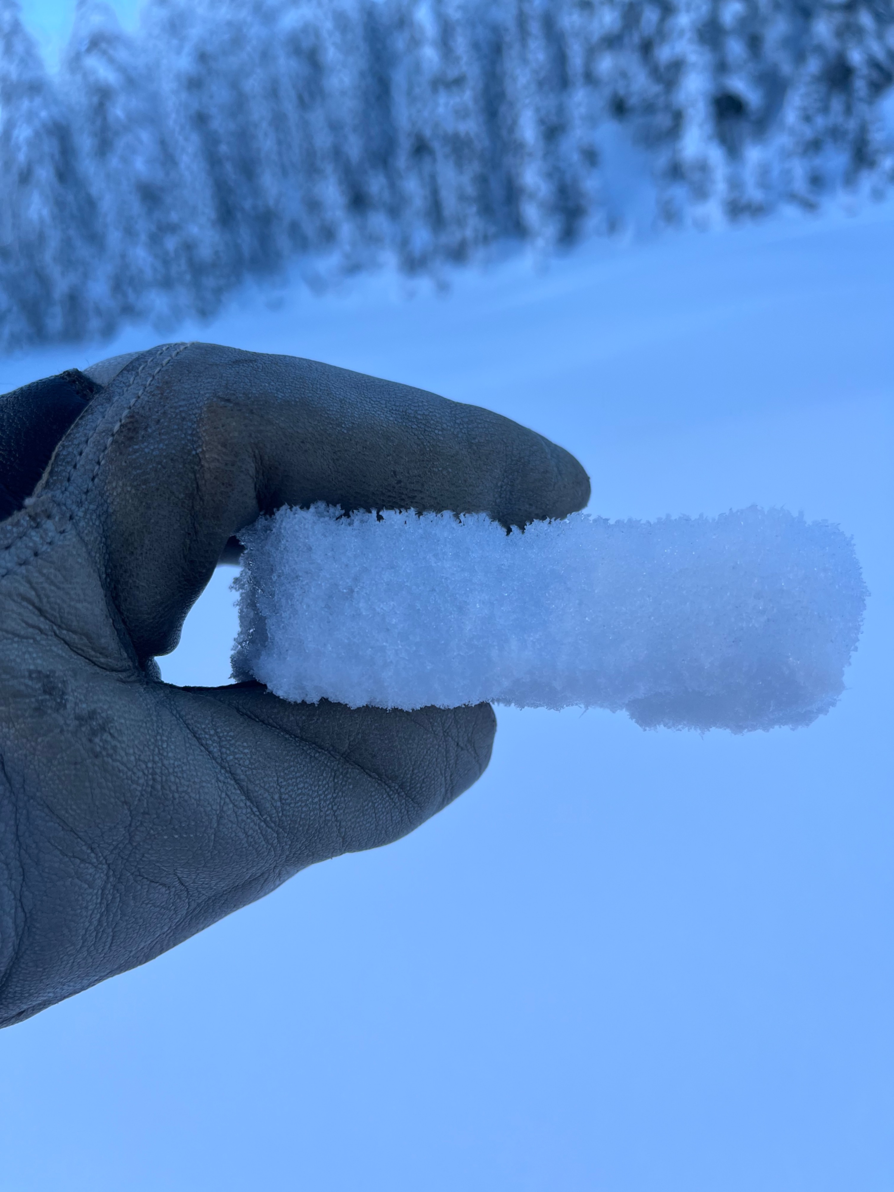
Surface hoar was present at the snow surface in most areas. A crust exists at the surface on all aspects below 5300ft, and higher on steep E-S-W (sunny) aspects. The crust is breakable up higher, where it isn't as well developed, but further down in elevation (4200ft or so and down) it's become firmer and breaking through it is harder.
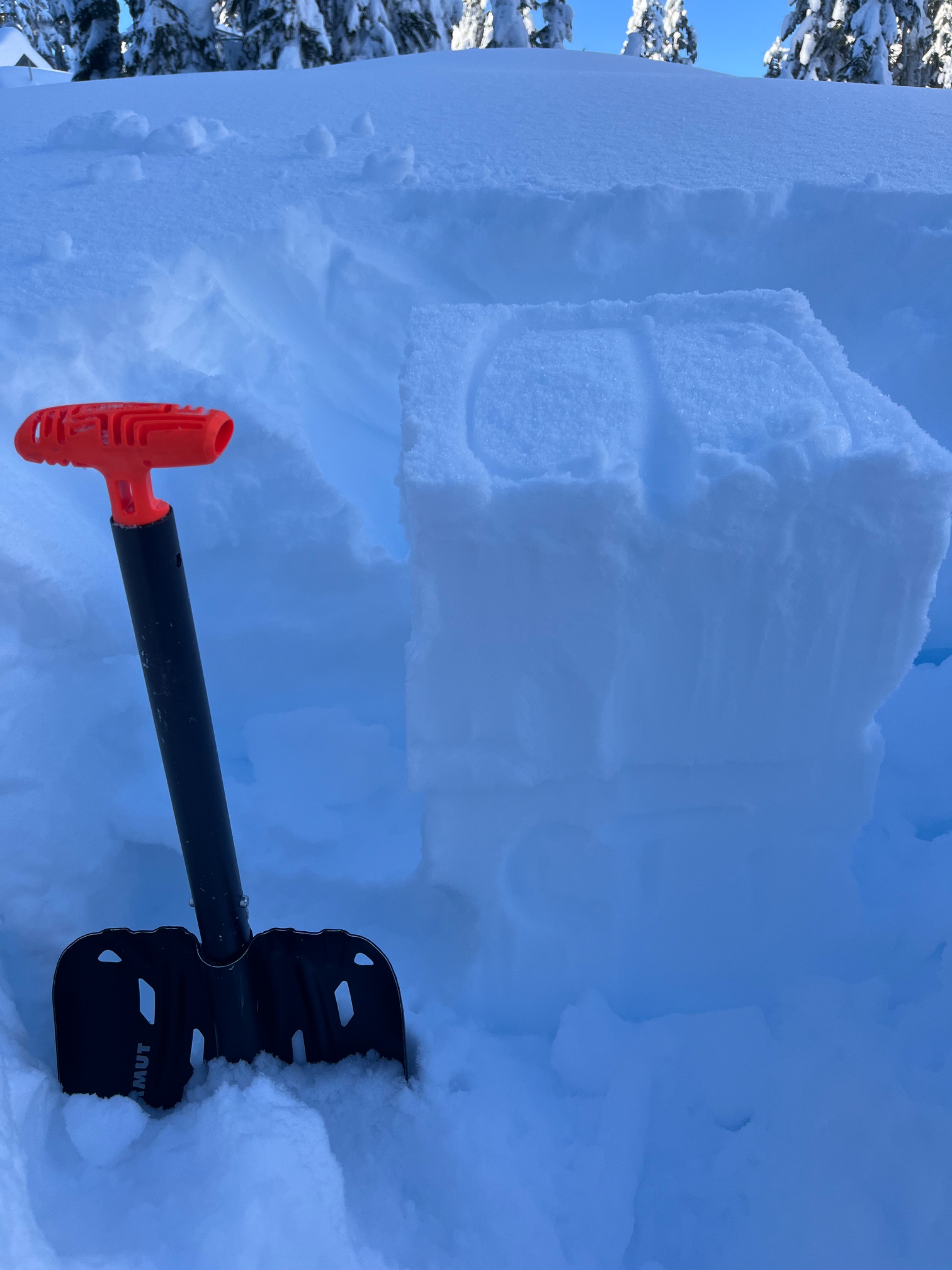
I searched for weak storm interfaces in the top 1-2ft of snow, but I didn't find any failures that I was concerned about. Shovel tilt tests and compression tests were inconsistent, yet at times I saw failures at the most recent new/old interface about a foot down in the pits you can see below. No propagations in ECT's occurred.
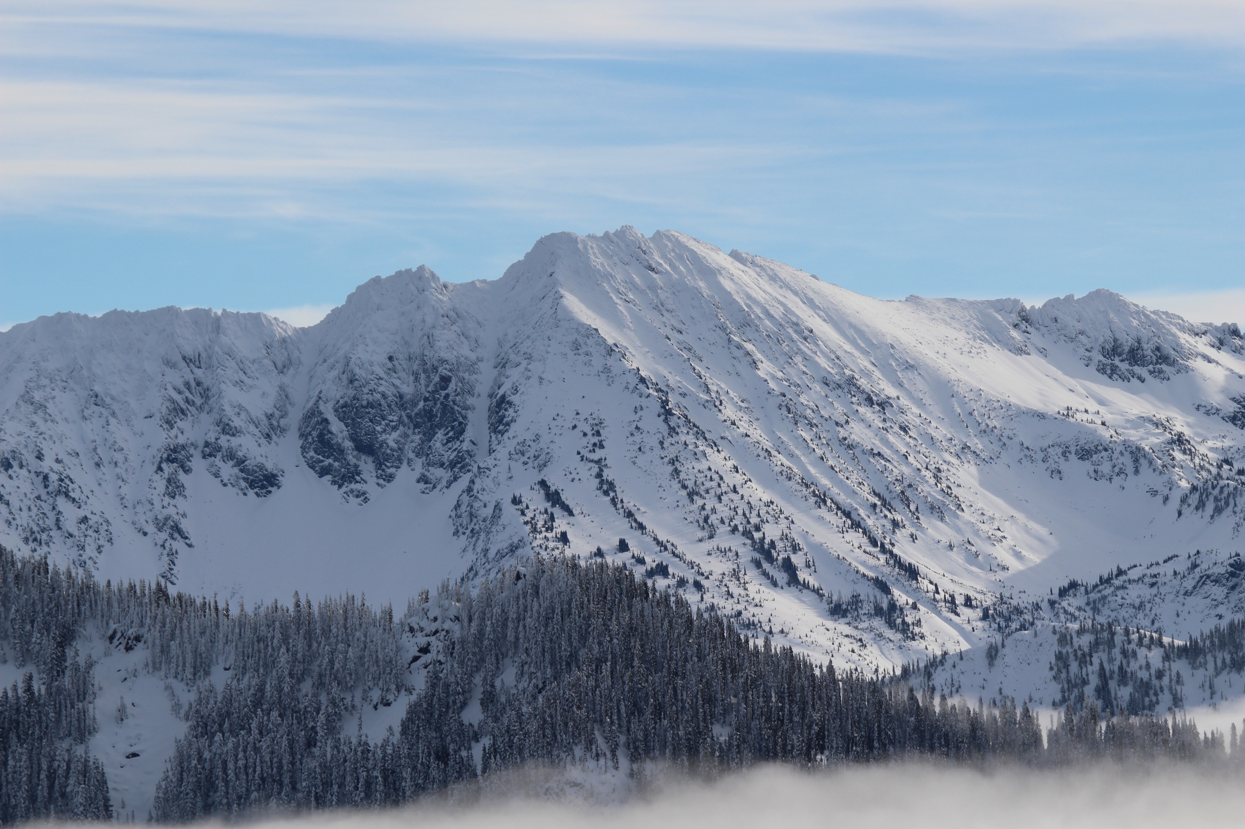
No recent wind transport or wind slab development was noticed in my direct vicinity or visible on any distant peaks.