
Quick report
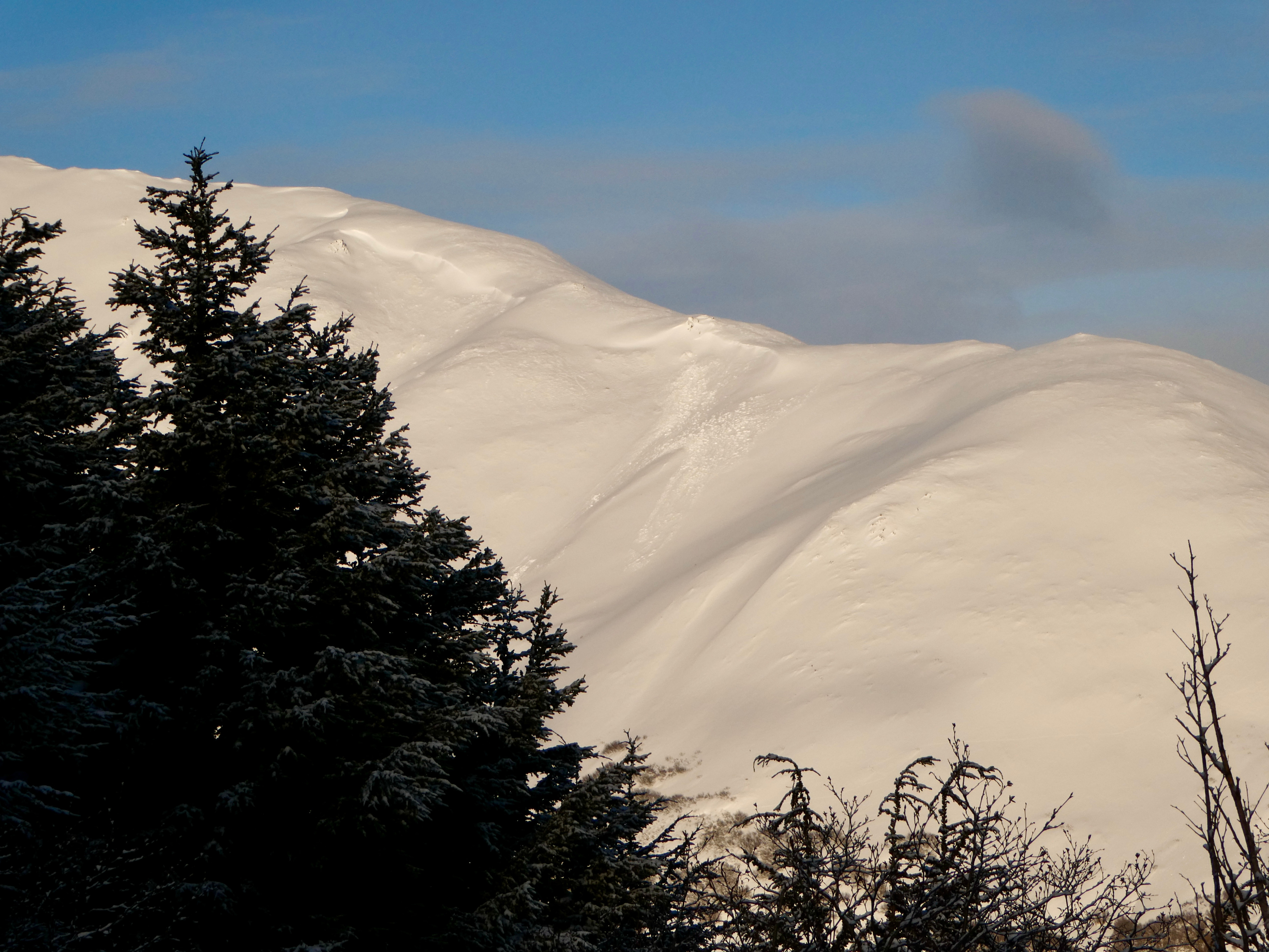
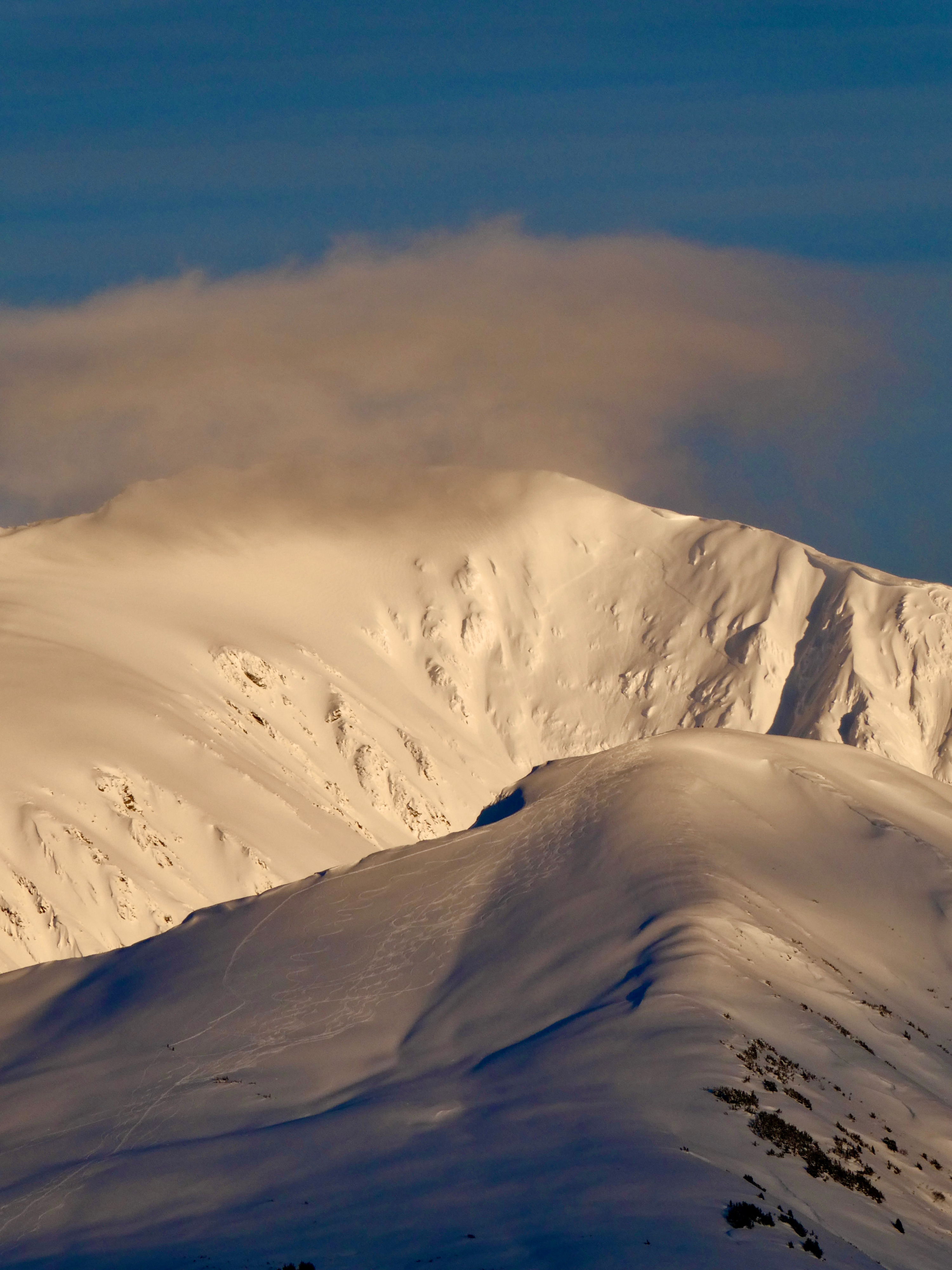
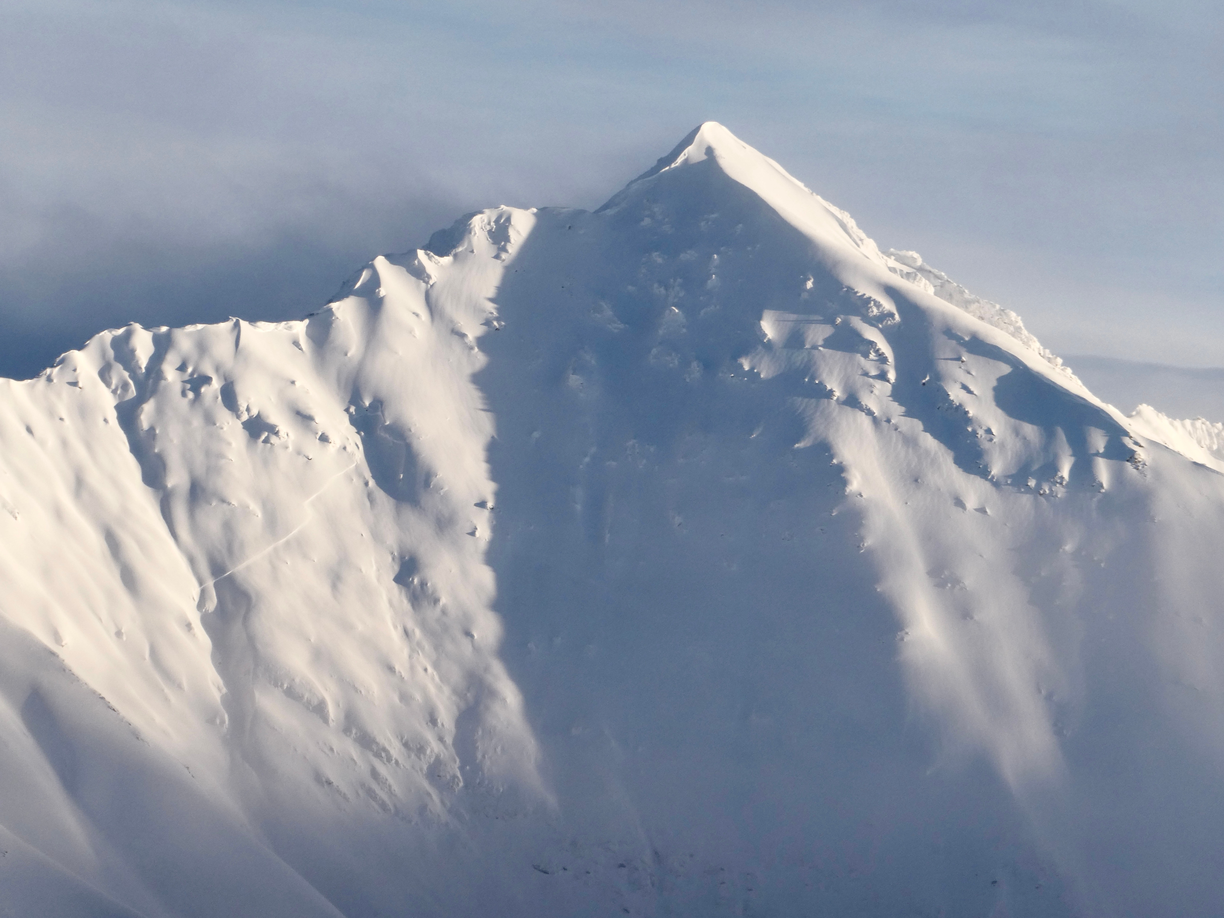
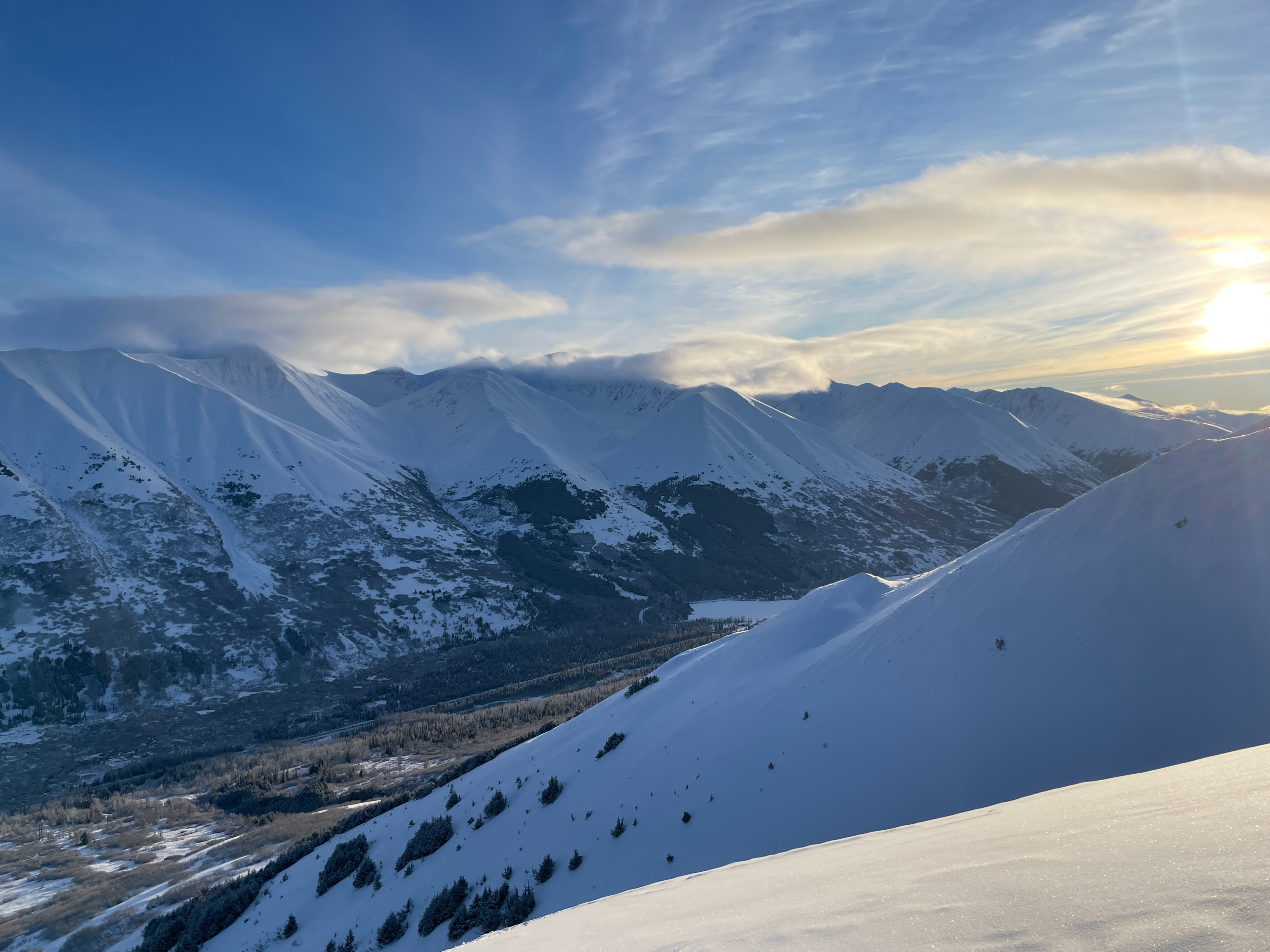
We toured up into the alpine and dug several pits along the way to see how the Summit Lake weak layers are evolving. The layer of facets at the ground looks like it has gained a lot of strength, and while it was easy to identify it was also moist and rounding, and fairly hard (4F to 1F). The more concerning layers were in the mid and upper snowpack (see snowpack discussion for details). We noticed recent avalanche activity on Fresno, Silvertip, and Spirit Walker, but did not see any fresh activity on the avalanche paths closer to the highway.
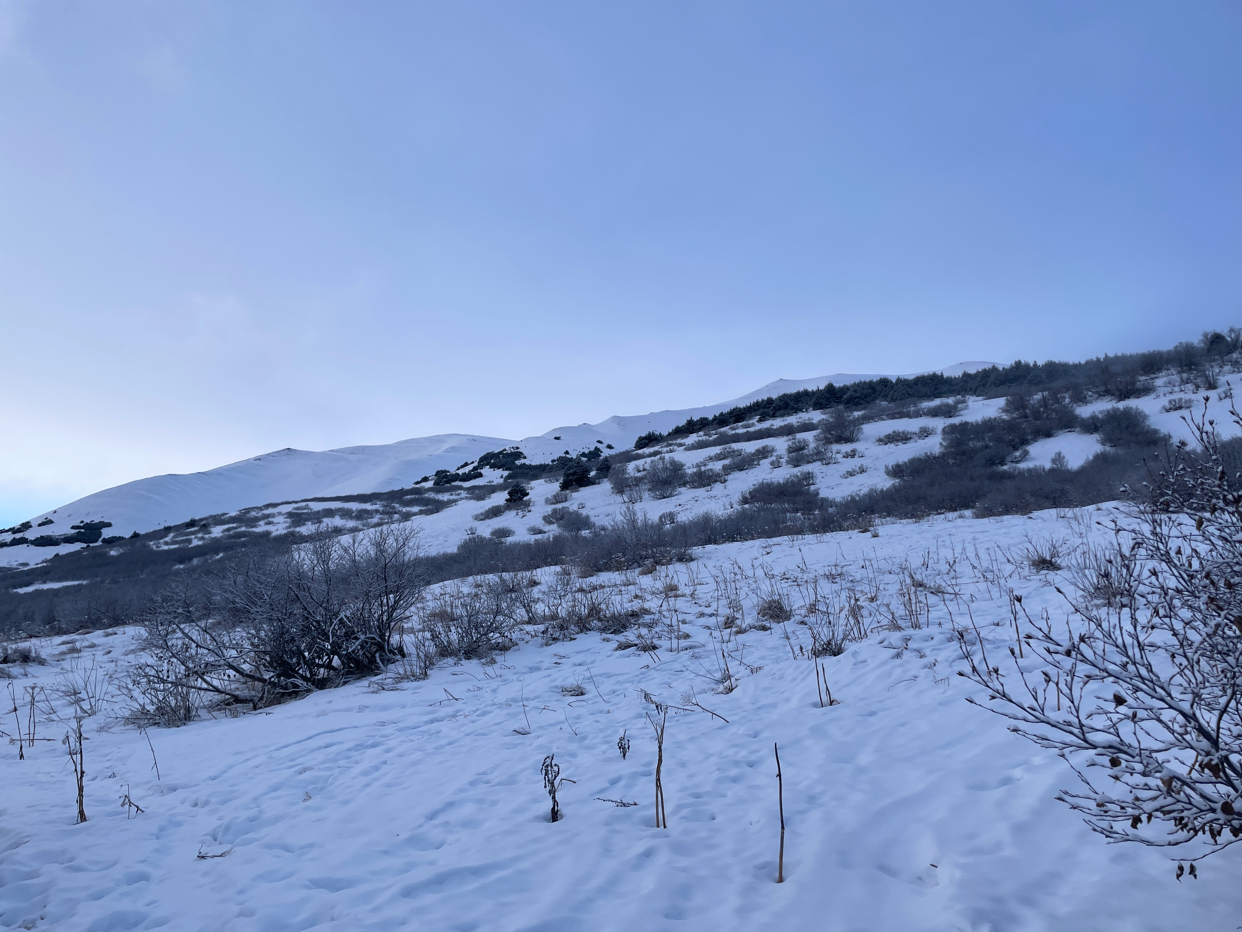
Just a little courtesy head's up- it is still a total battlezone for the first 500' or so above the highway. Not so bad up high though!
Weather
- Cloud Cover
- scattered
- Wind Loading
- previous
- Rain Elevation
- Sea level!
- Recent Snowfall
- 5
- Snow Avail For Transport
- small smounts
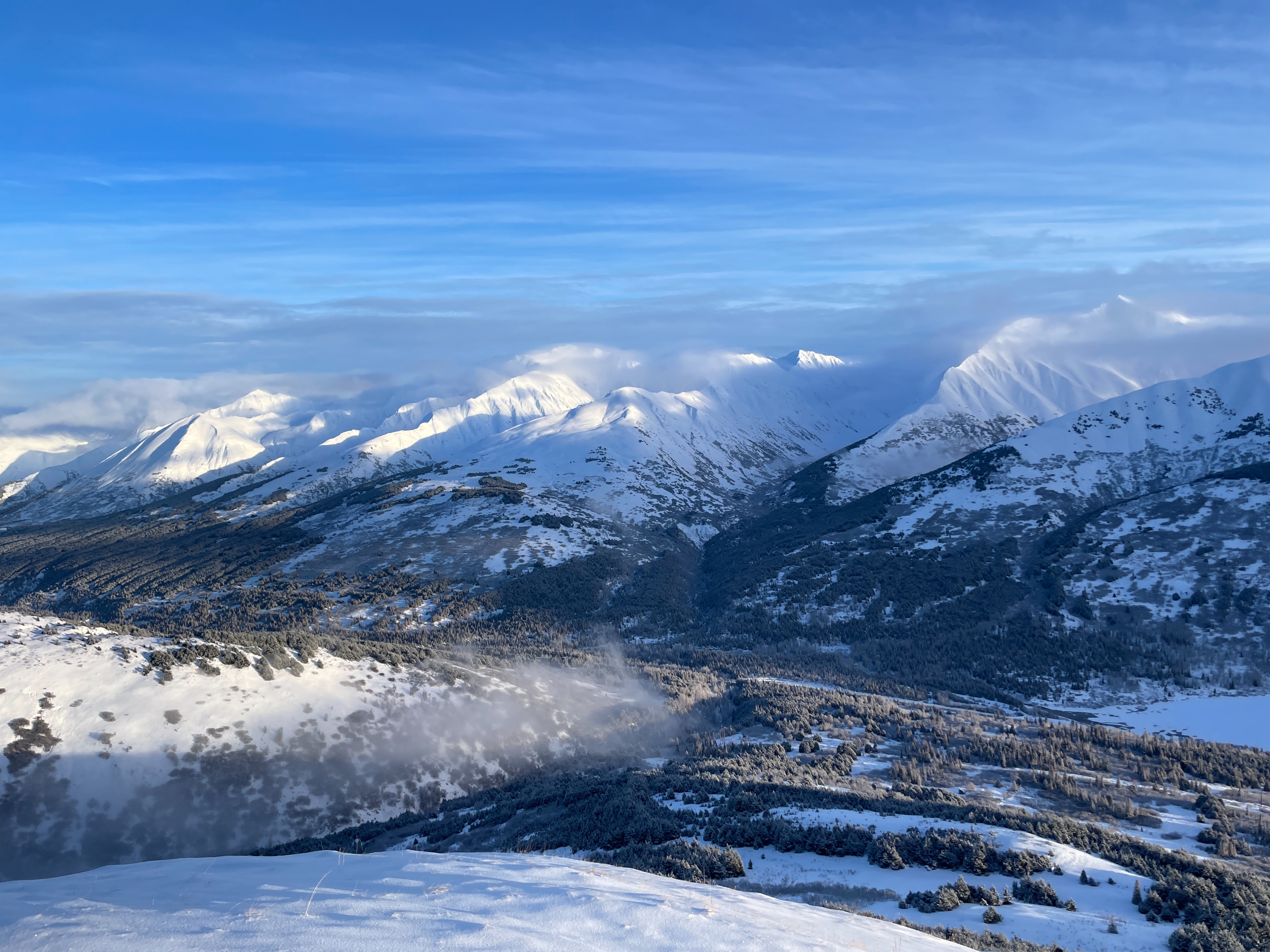
Low clouds driving through Turnagain Pass. Decreasing cloud cover through the day in Summit, with mostly clear skies in the afternoon. Winds were light out of the west.
Snowpack
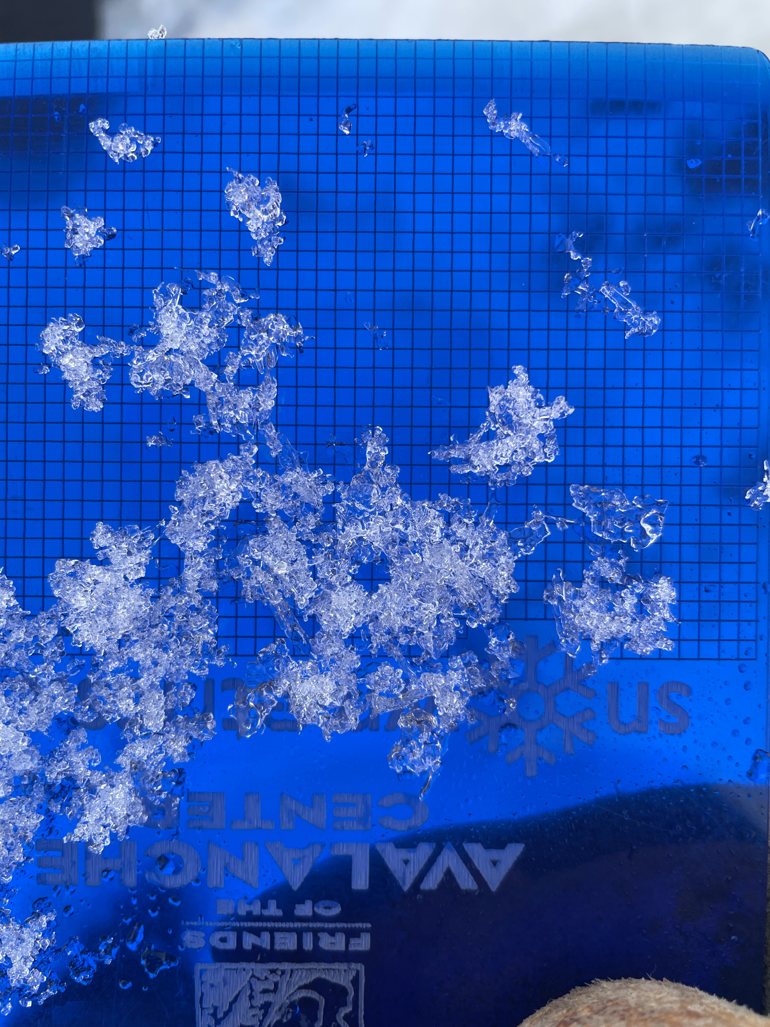
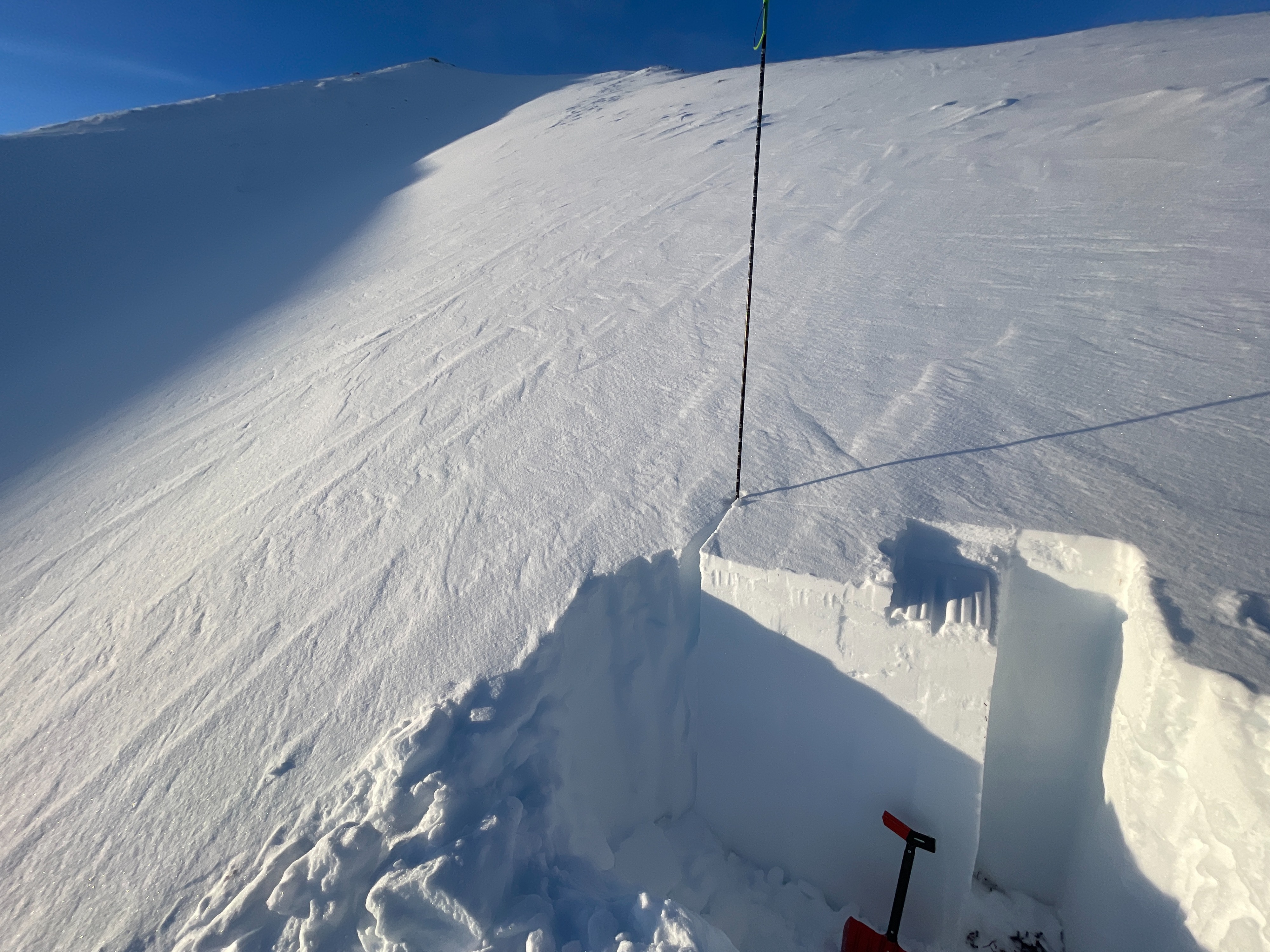
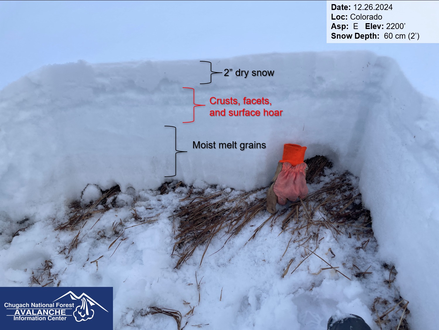
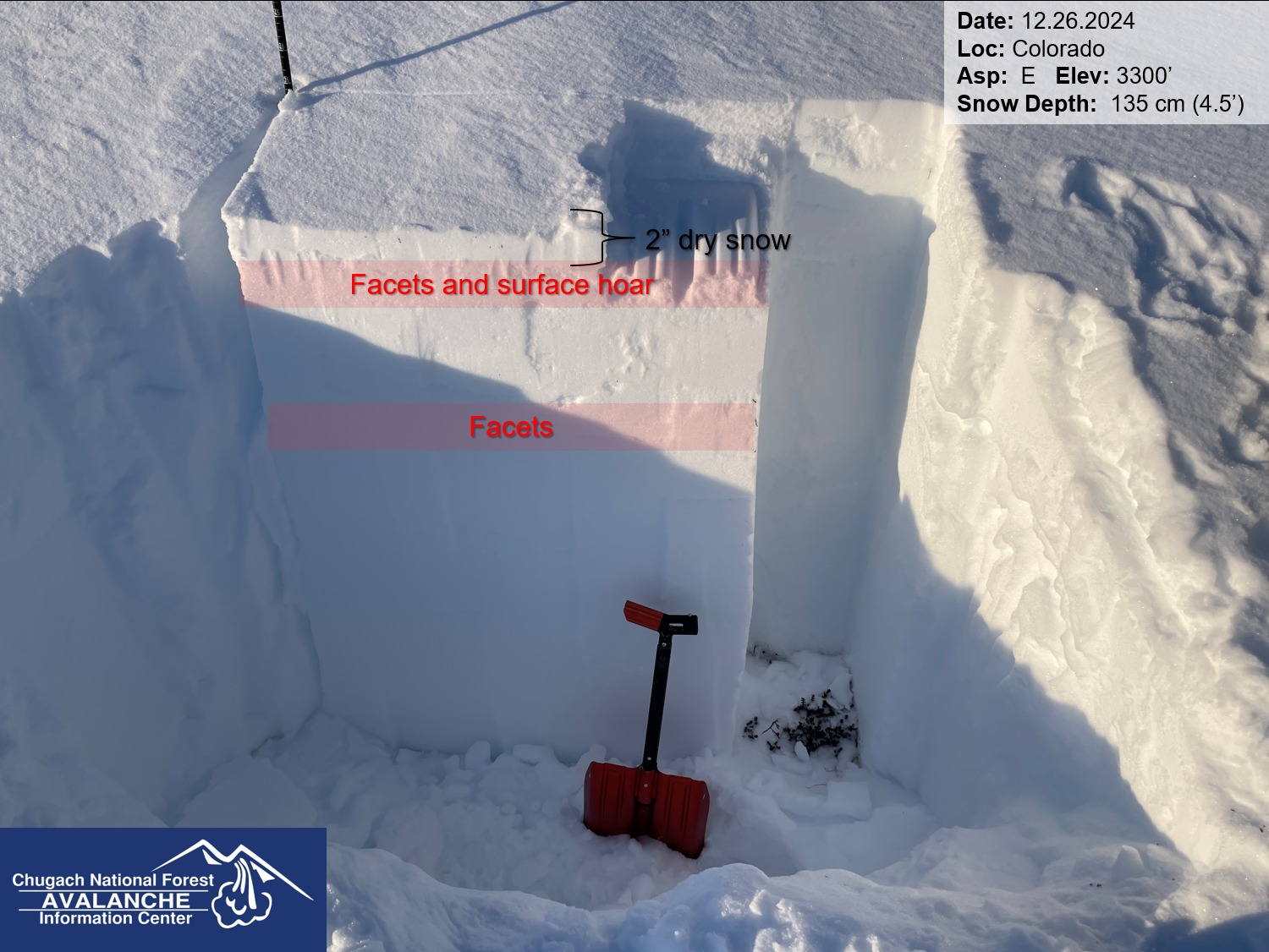
The snowpack was about an inch of dust above a very stout crust up to around 2000', where it transitioned to a series of crusts and facets rather than one solid crust. We dug pits at 2200', 2500', and 3300'. The two lower pits looked similar, showing several layers of crusts and facets for most of the snowpack, with a layer of rounding surface hoar buried about 6" deep. The upper snowpit was much different. We did find a layer of buried surface hoar near the surface, but this looked to be buried much more recently. The snowpack was 4 feet deep or deeper at our upper set of pits, as opposed to around 1.5-2' deep at lower elevations. We were able to identify the layer of facets at the ground in all but the lowest of our pits, but it appeared to be moist and rounding in each location. The layers in the mid and upper snowpack looked much more concerning.
More details in attached pit profiles and photos.
Avalanche
- Size
- D2.5 R1
- Count
- 2
- Aspect
- SW
- Trigger
- N
- Elevation
- 4500 ft
We saw evidence of recent natural avalanches on the south side of Fresno, and on the west faces of Spirit Walker and Silvertip. The avalanches on Fresno were much smaller than the others, but all of them look to have failed in steep, wind loaded terrain.