
Quick report
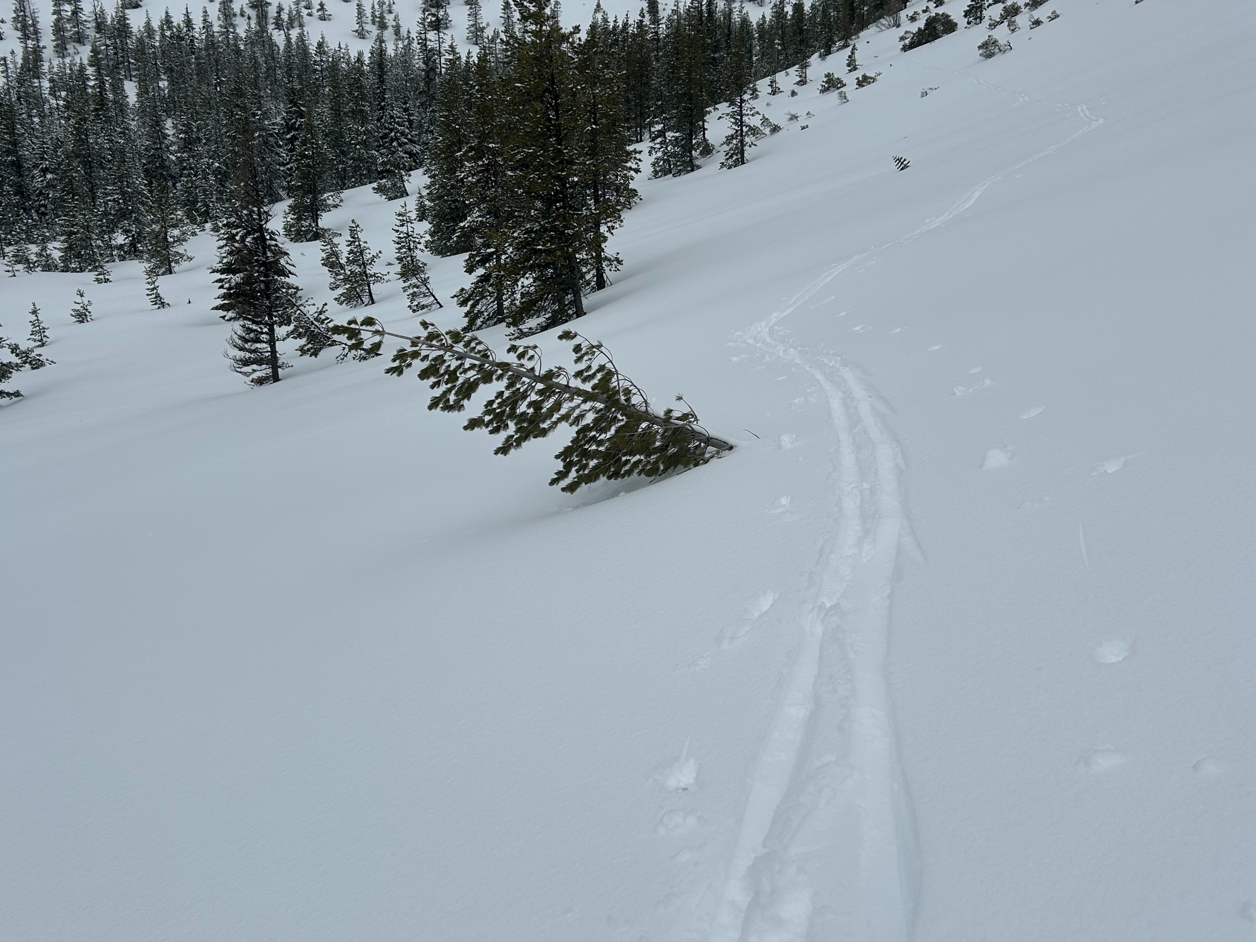
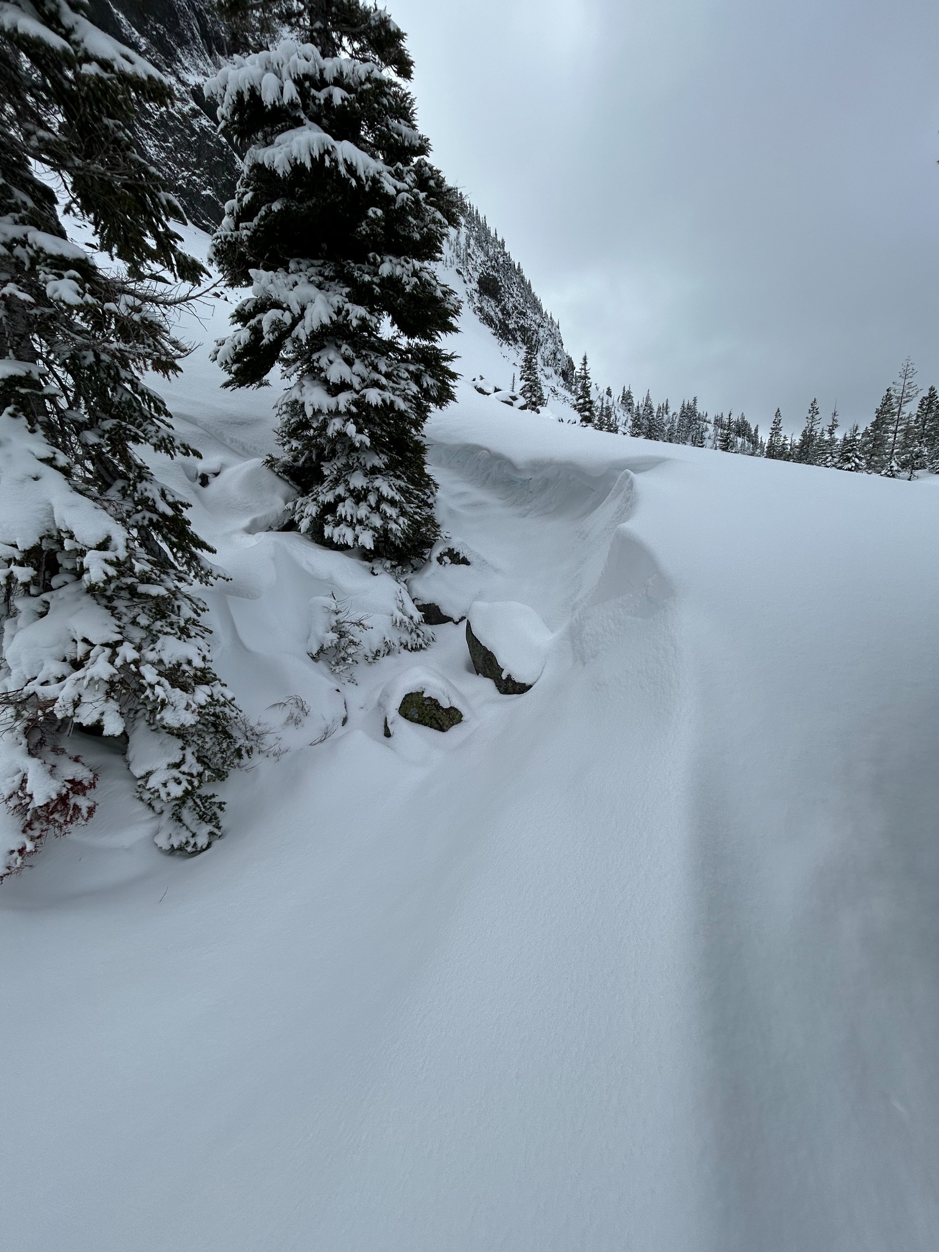
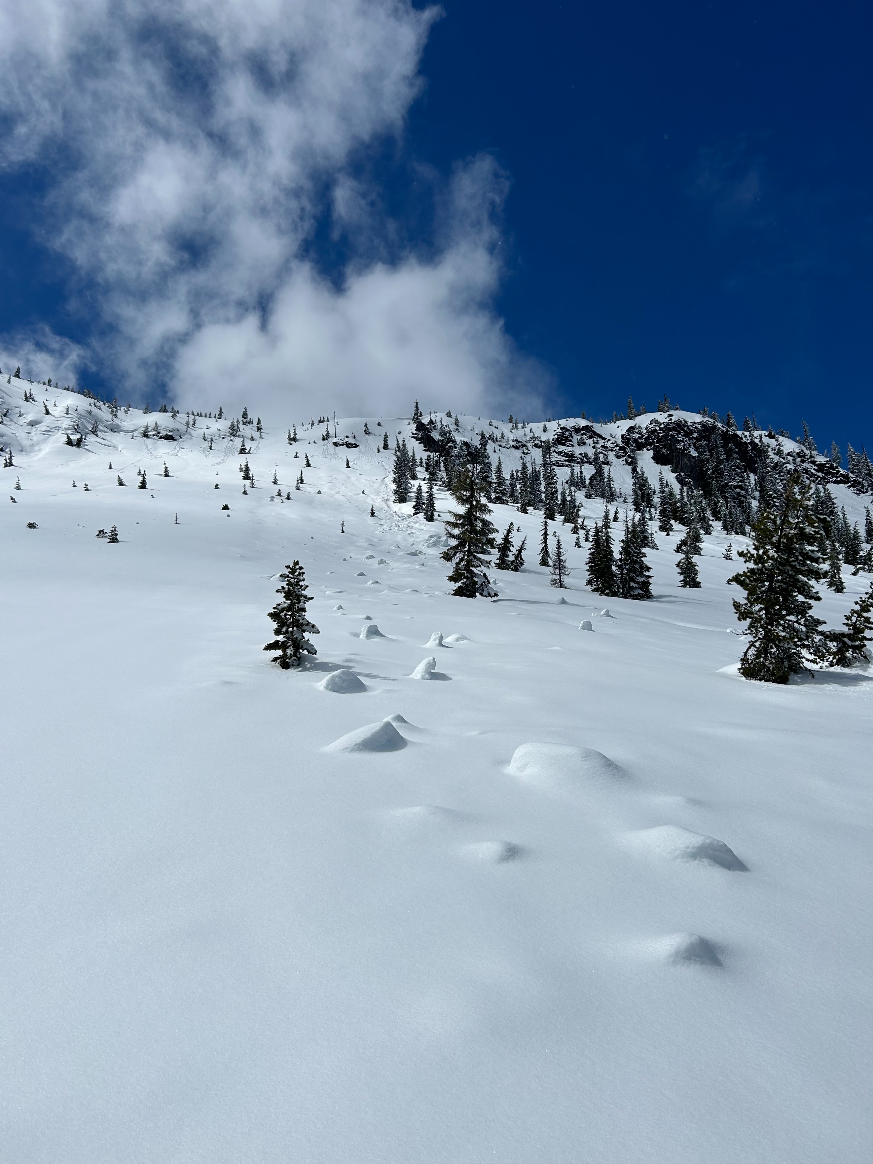
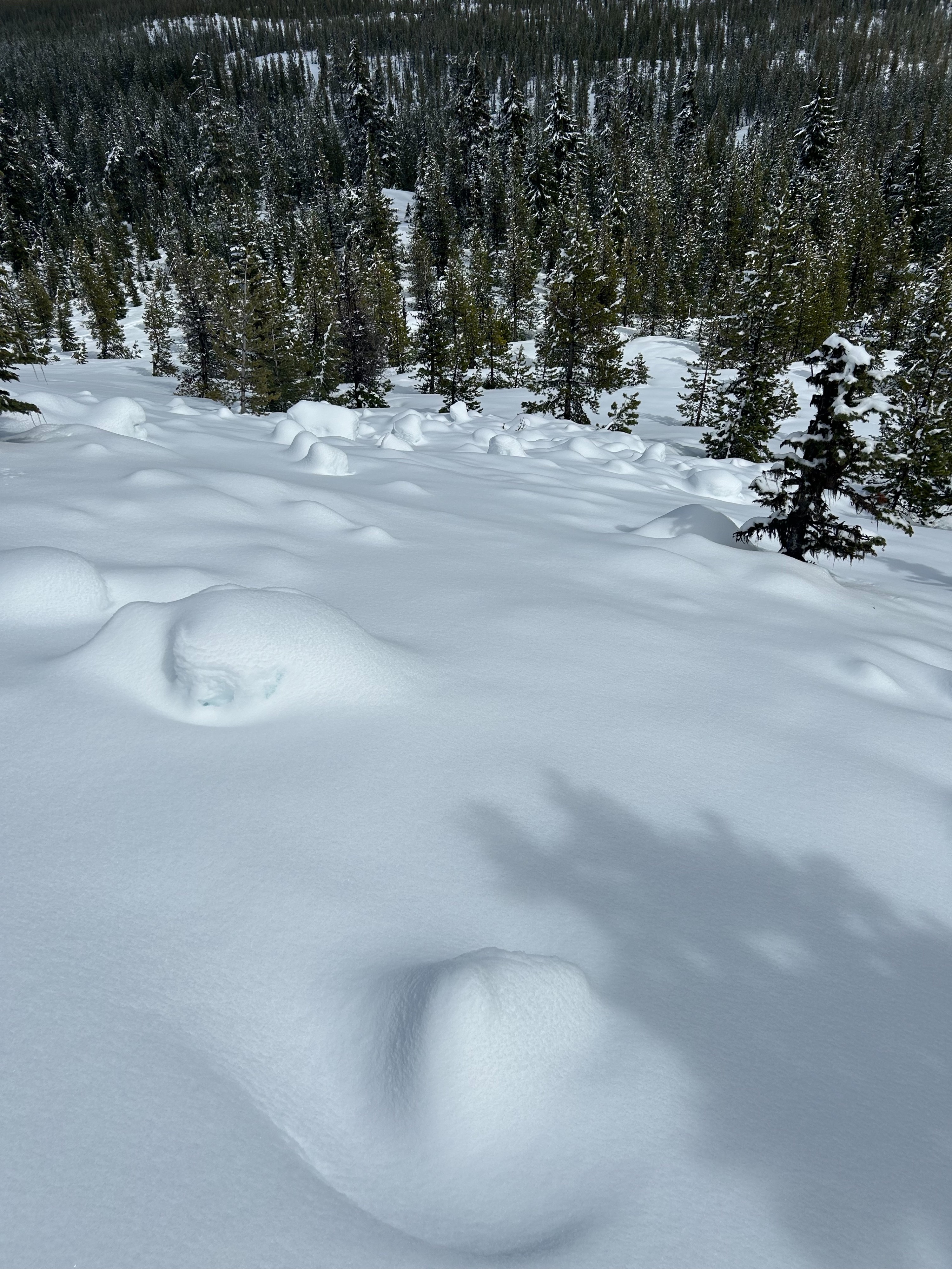
I observed a well consolidated snowpack. S and E slopes showed evidence of recent wet problems. At the end of the day, as the sun hit W slopes, they started to show wet slides as well. It was a great day out in the alpine. Big warming event coming this weekend, so expect more wet snow problems to show up. I tried to get eyes on Washington, but it was elusive with the cloud cover. Lots of evidence of recent wet loose, steep cliffs shedding snow, cornice breaks, and so on.
Weather
- Air Temp
- 34
- Cloud Cover
- scattered
- Wind Loading
- none
- Recent Snowfall
- 15
- Snow Avail For Transport
- small smounts
Lovely day out. Started pretty clear, ended with snow showers as I was heading to car. Warmed rapidly from 9am to 1pm, so new snow was getting wet and sticky rapidly on solar aspects.
Snowpack
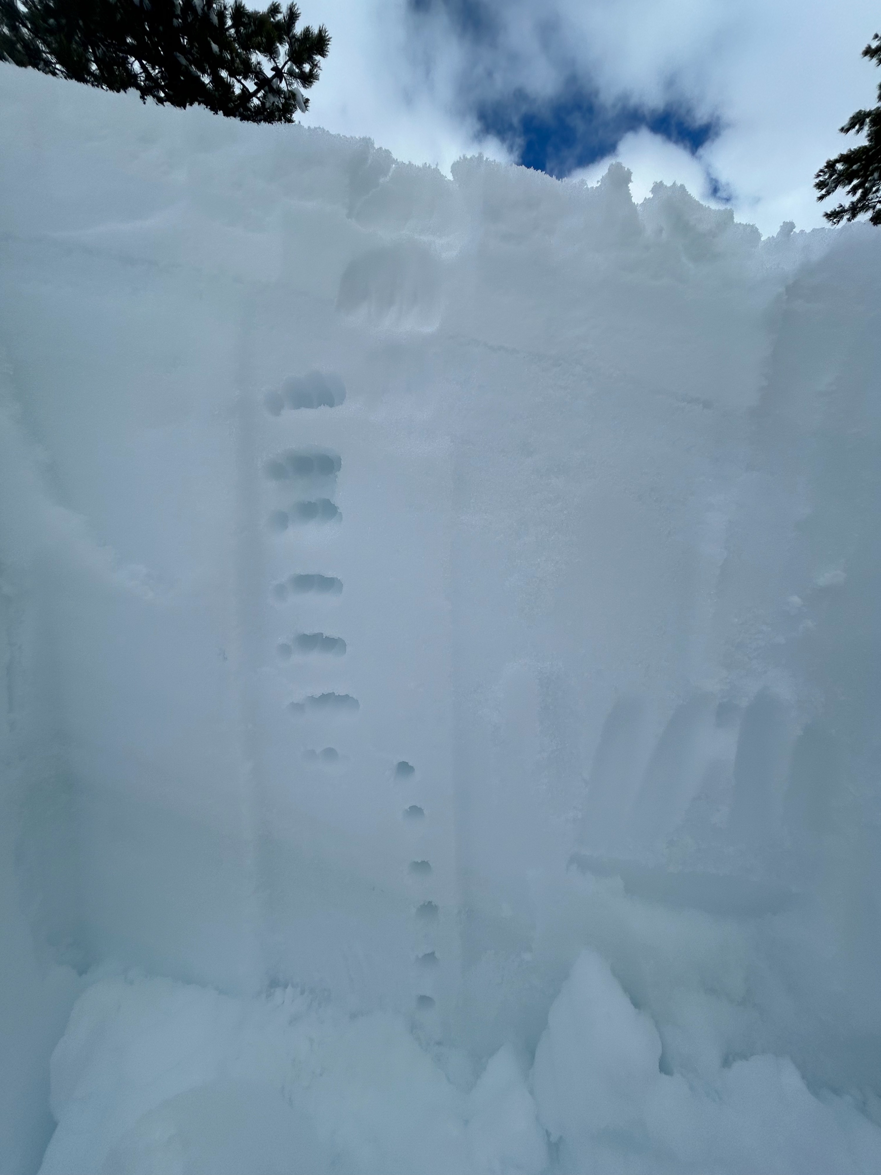
Dug pits on west slopes and east slopes. West aspect were (when I was on them) shady and cool, with 20cm (give or take) of new snow on top of a light crust from the warm temps mid-week last week. Right-side up, going from F to 1F over the upper meter or so. CTM, but poor shear quality, and nothing on the ECT. Pretty rock solid snowpack. As I worked from W to S to E slopes, the surface snow became much more wet. A pit on an east slope showed MUCH wetter snow over the upper 1m. Very loose melt forms. However, stability tests showed no results. Again, right side up. Very solid.
Avalanche
- Size
- D1
- Aspect
- E
- Elevation
- 5000 ft
Looks like a cornice break from several days ago that set off a lot or large blocks with a long runout.