
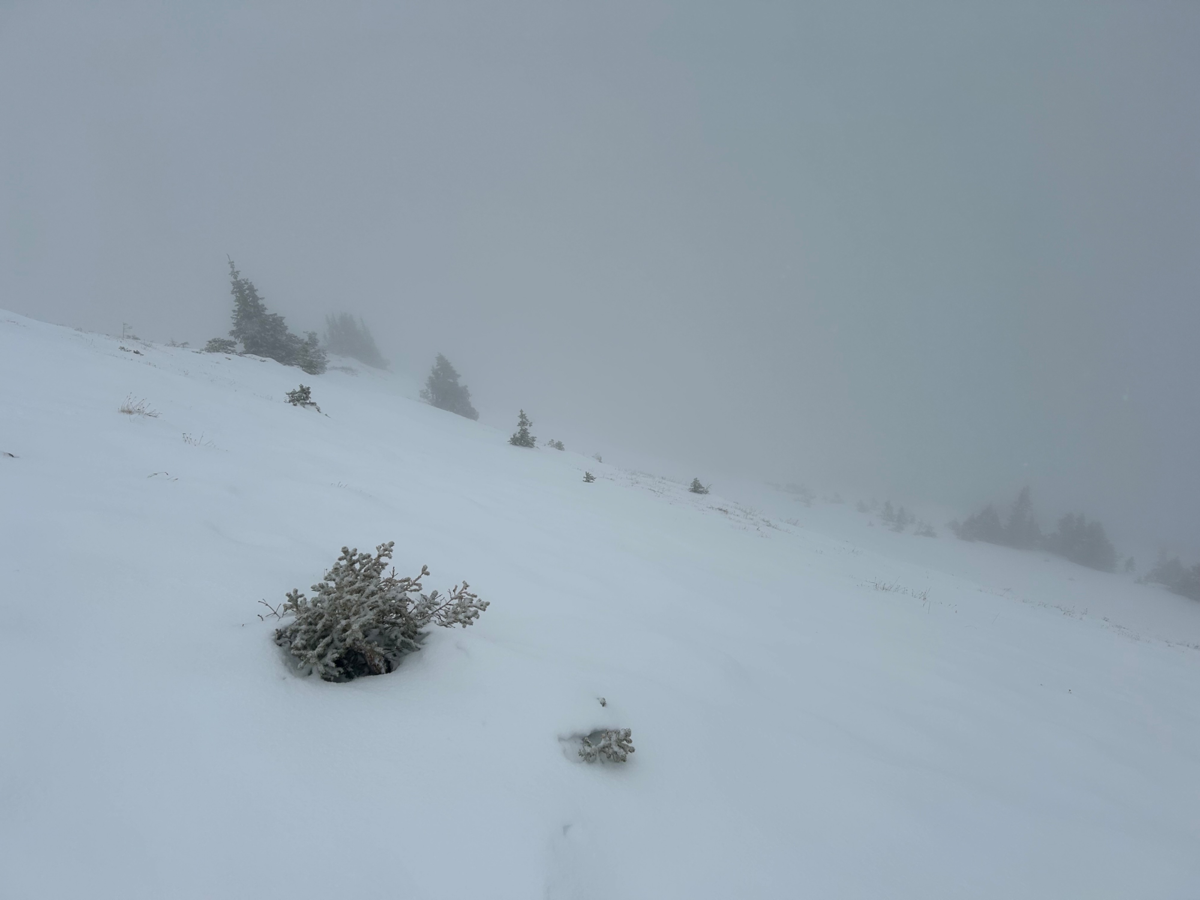
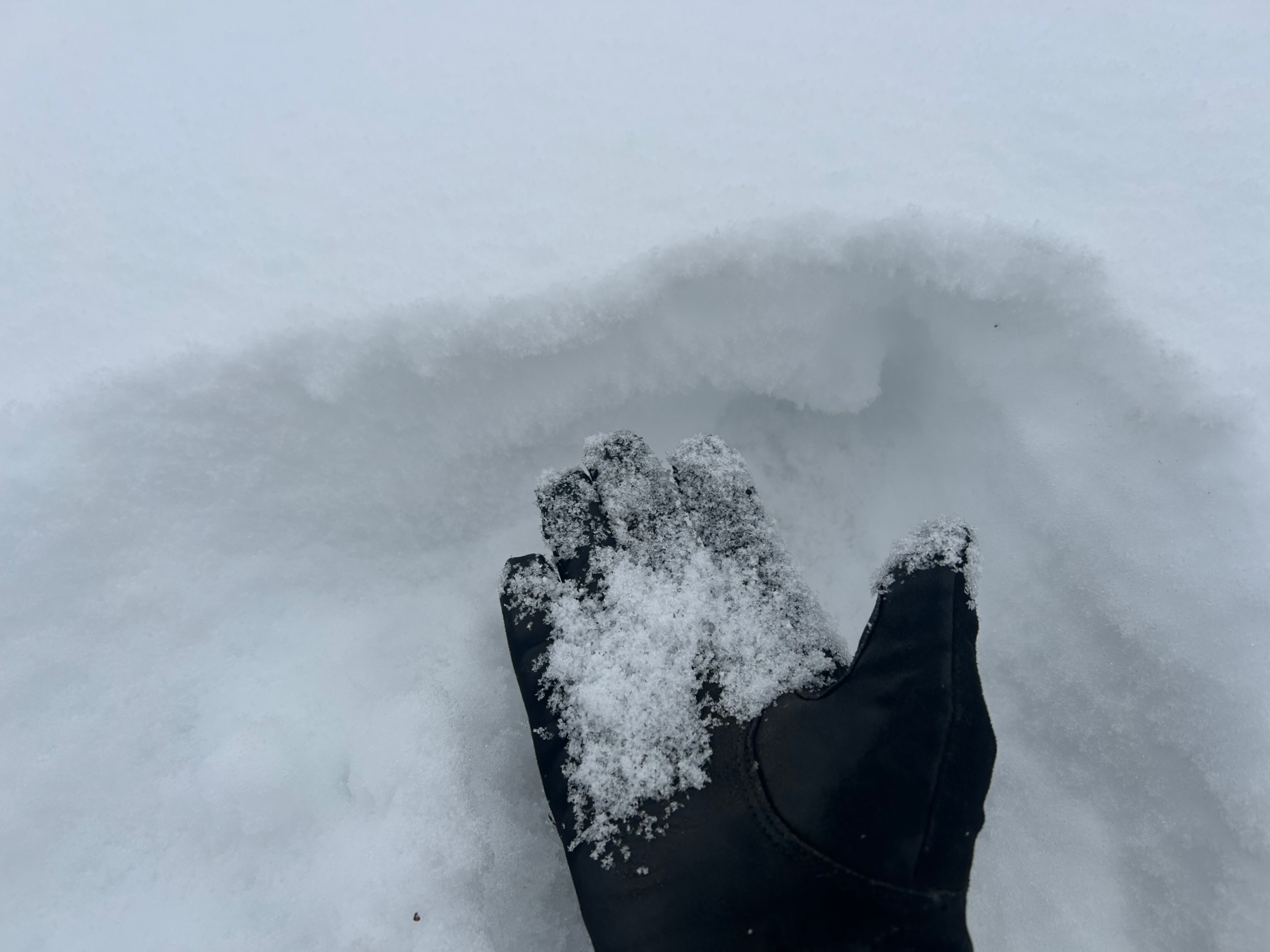

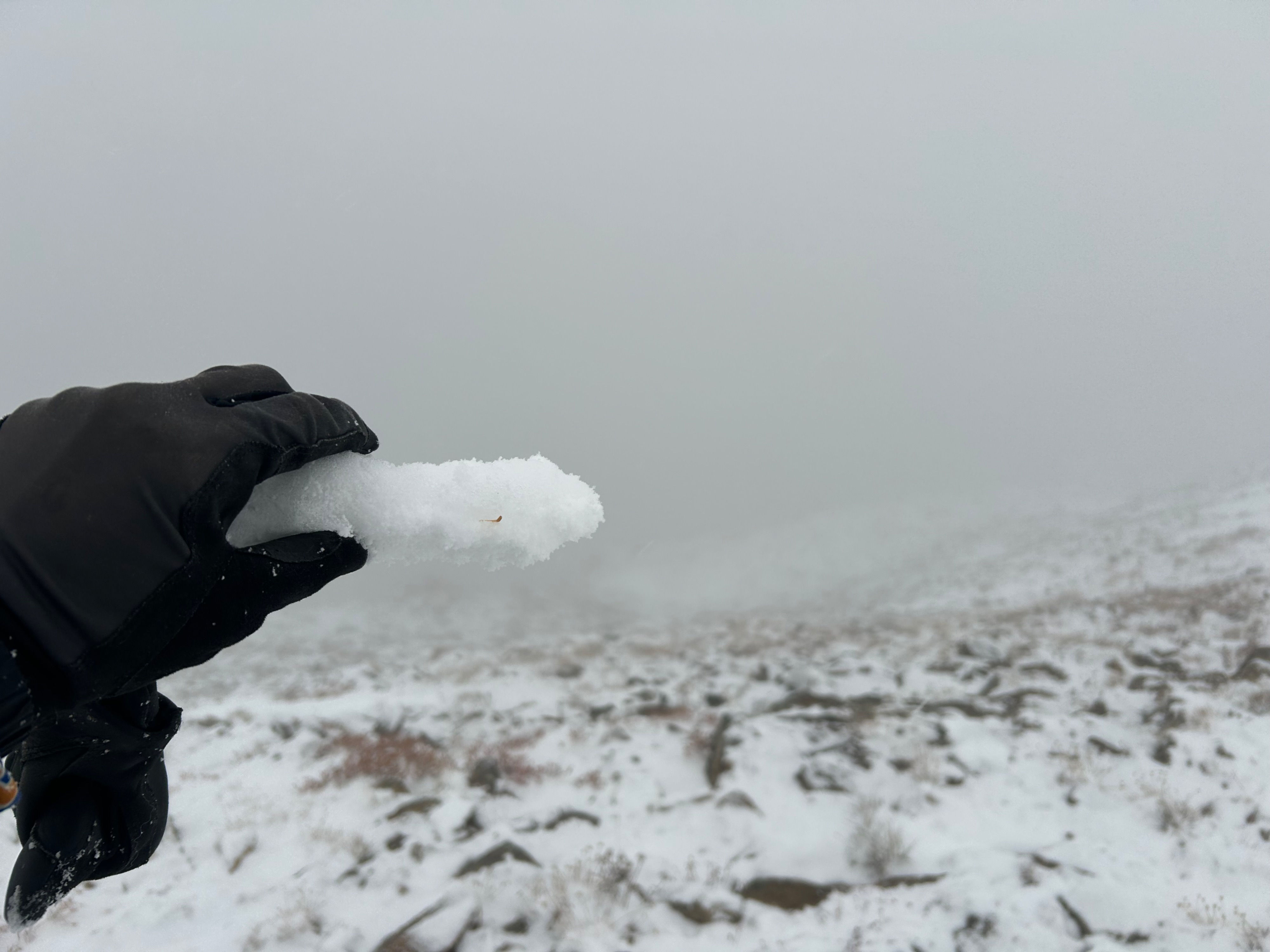
Quick report
The most problematic weak layers going into this storm are at upper elevations on northerly aspects: the lingering snow coverage there will act as a persistent weak layer under any newly forming slabs this week. The patchy snow that lingers on east or west aspects has formed a stronger melt-freeze crust that should bond better, especially with the warmer start to the storm observed this afternoon around 4 p.m.
Weather
- Cloud Cover
- overcast
- Wind Loading
- none
- Rain Elevation
- 10000
- Recent Snowfall
- 1
- Snow Avail For Transport
- small smounts
The early warm phase of the storm produced light snowfall and graupel above 10,000', rain at lower elevations.
Snowpack
On steep north and northeast aspects at 12k: About 8" of old snow from the mid-October storm has faceted to 1mm, fist hard facets, most of which is dry with some moist grains at the ground. Coverage was continuous enough to be a failure layer in these bowls. On steep east aspects at 12k: Not much old snow here, but the lingering patches have a melt-freeze crust on the surface a few cm's thick. There's not enough coverage to form a failure layer, and I didn't see any persistent weak layer concerns on terrain features with coverage. I imagine some east-facing slopes (ENE ?) have continuous coverage and a thin, collapsible crust over facets. The crust on west aspects was stout and to the ground in the few places it survived the meltout here.