
Quick report
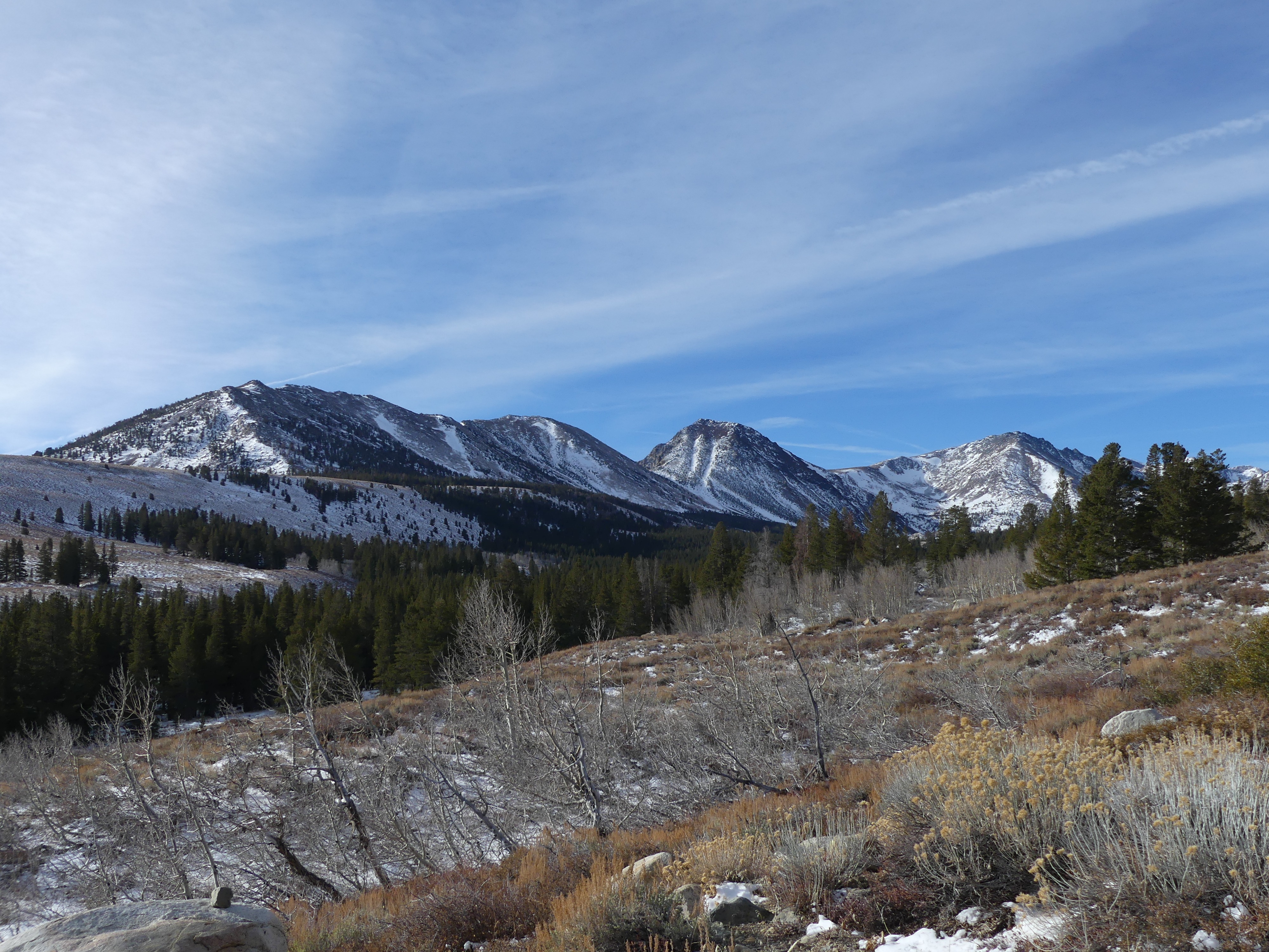
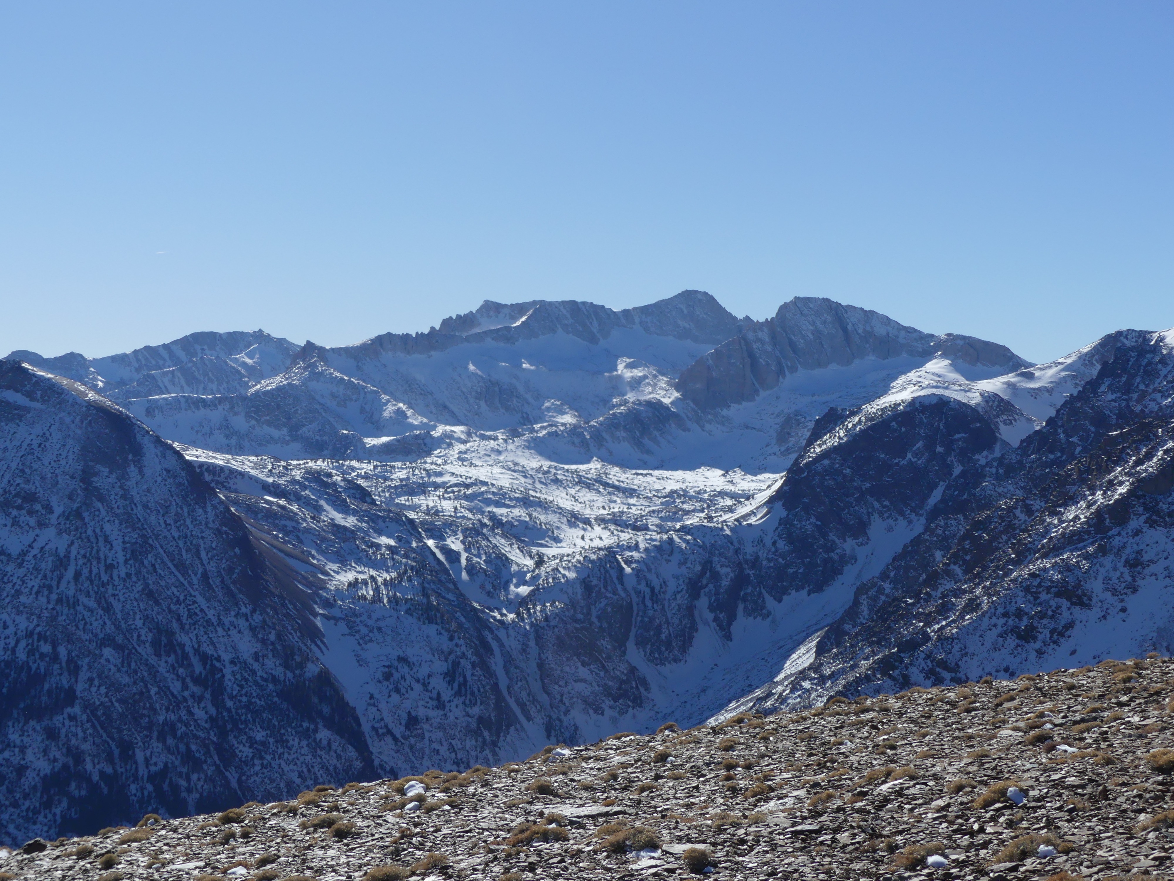
We had a nice hike today around the Red Lake Bowl area out of the Virginia Lakes TH. Objective #1 was to assess how much snow came in on the night of Dec. 6th and to get a feel for whether or not wind slabs would be a concern. Objective #2 was to monitor faceted layers lower in the early season snowpack.
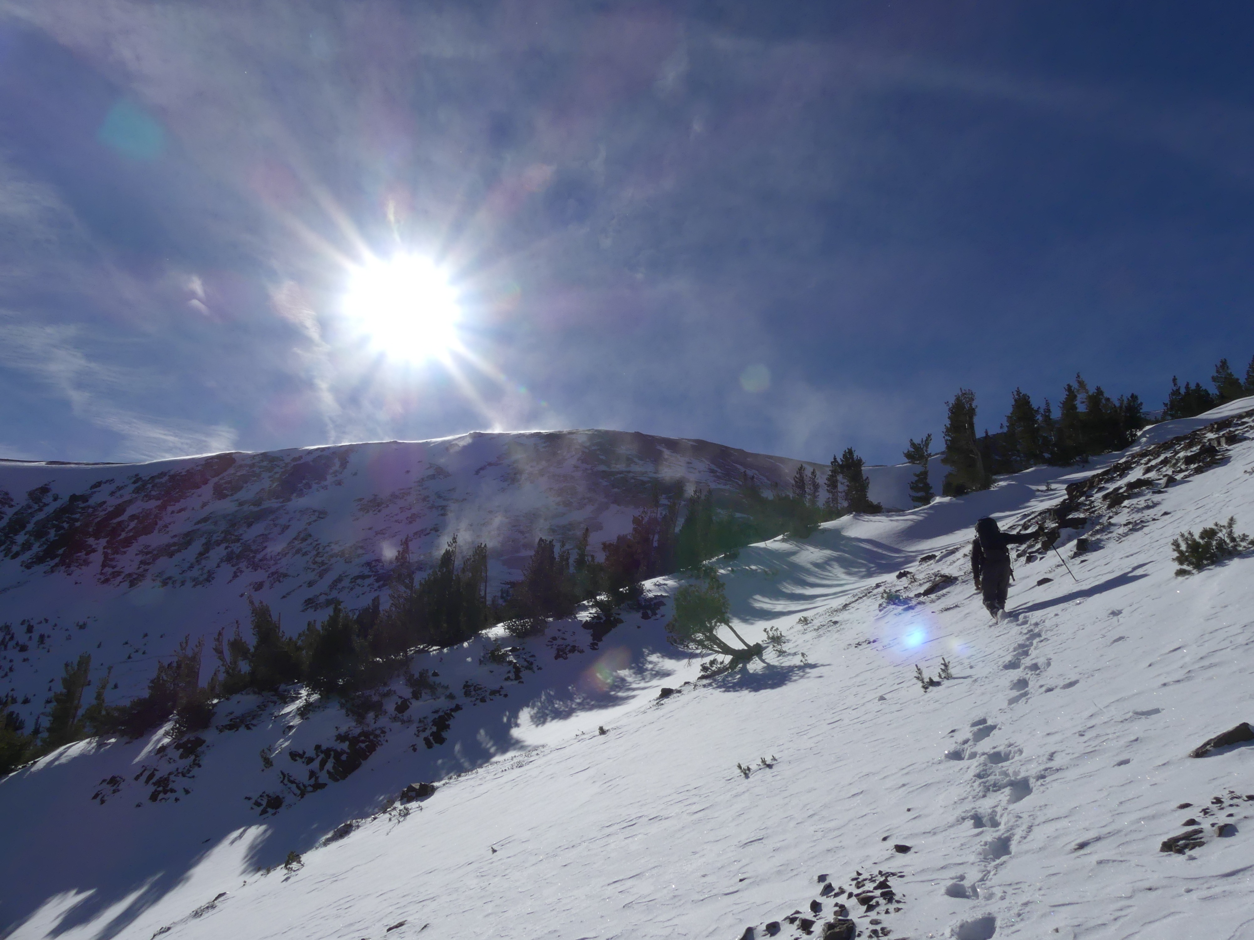
- It was a good decision to leave the skis in the vehicle and hike in mountain boots. There is post-holing in places above 9500'. It might be possible to make a ski tour in this area, but the patchy coverage and variable conditions left us content with our decision not to ski.
- 3-5" of low-density snow fell in this area on Dec. 6th - (field obs agree well with local weather stations).
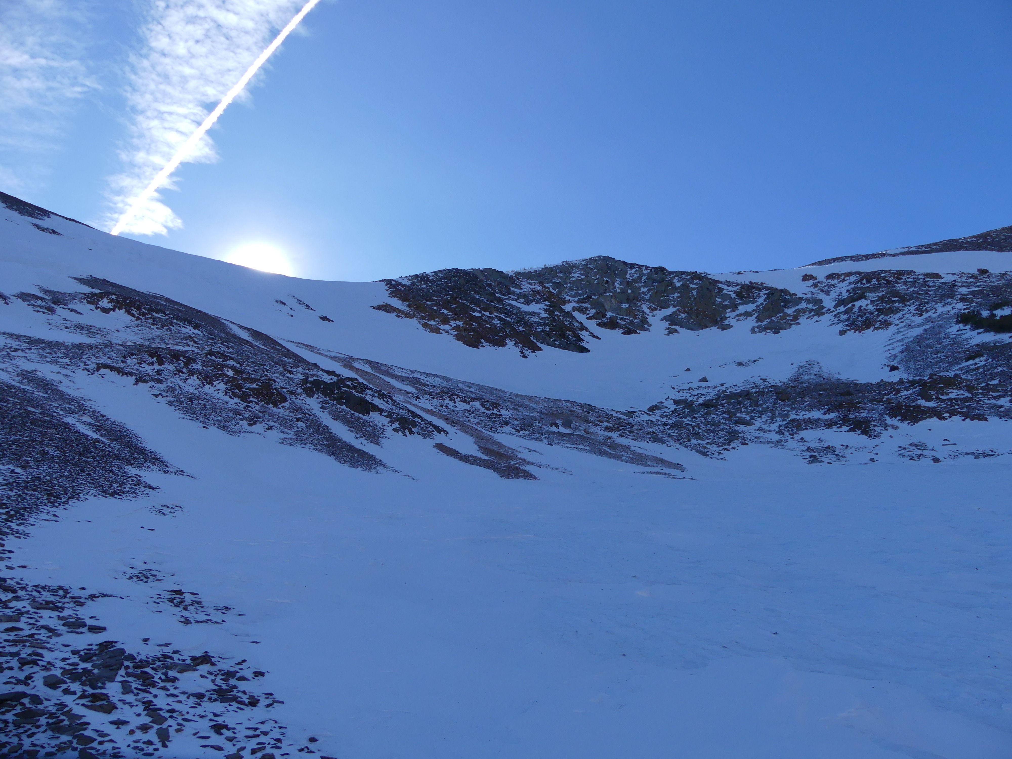
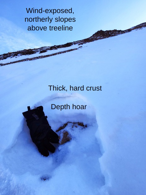
- High winds that accompanied that storm seem to have stripped most snowfields above the treeline. We observed continued wind erosion on N aspects by moderate up-canyon winds this afternoon.
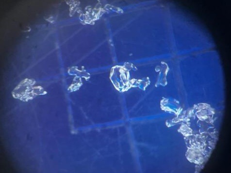
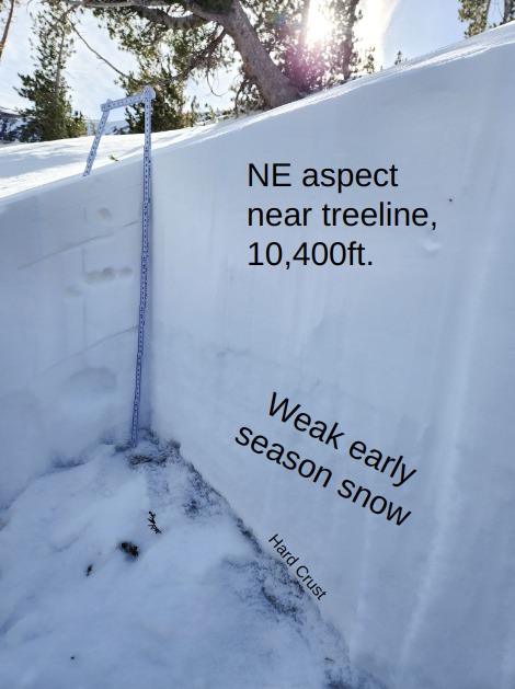
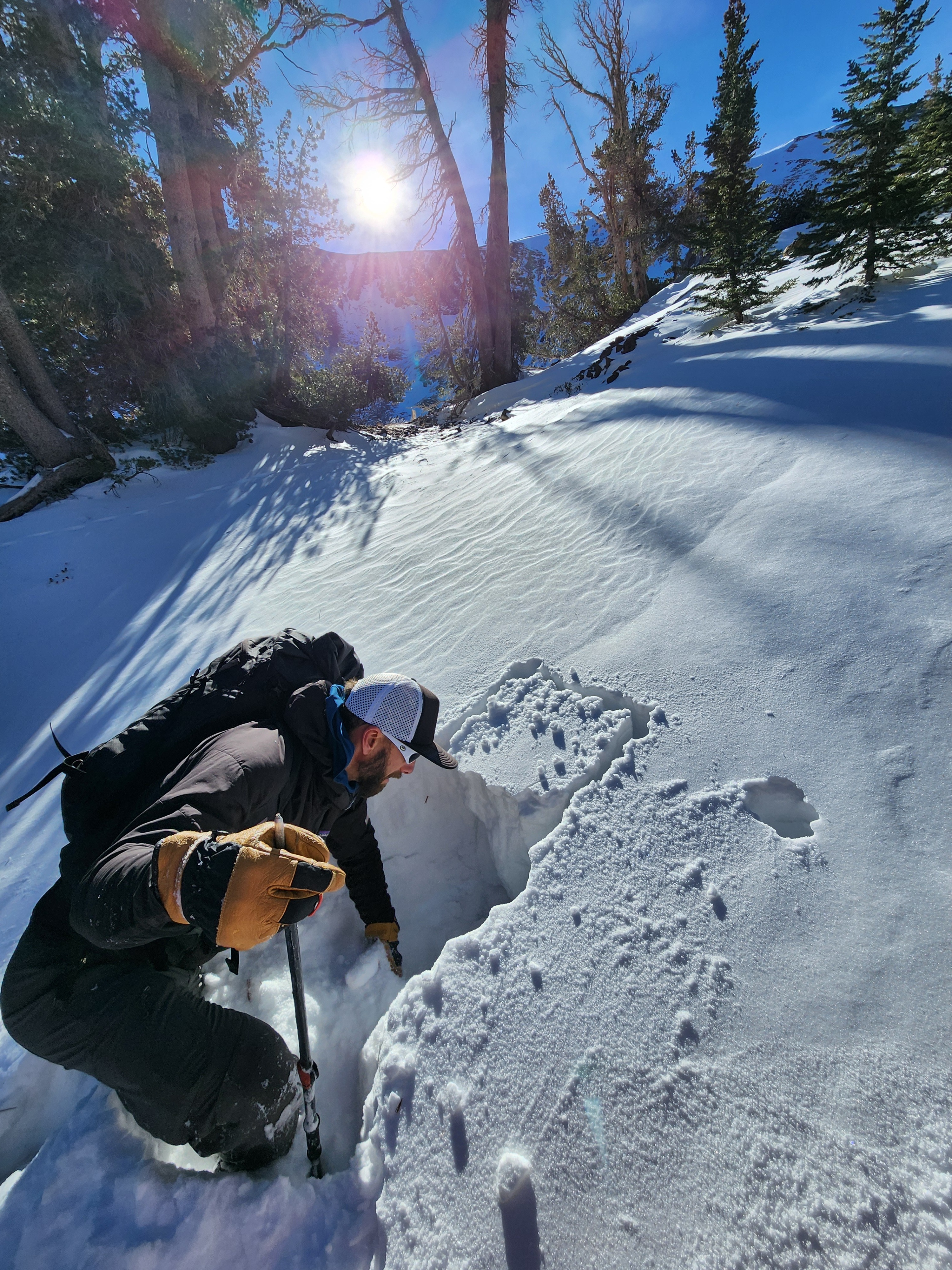
- In northerly drifts near treeline we identified a wind slab interface 10 to 20cm down from the surface. The grains at the interface were non-persistent and the interface showed no propagation propensity.
- 2 - 5cm of Depth hoar exists between the ground and a strong melt-freeze crust near and above treeline. It is interrupted by bare ground and ice fields formed from last season's snow.
- The greatest hazard in the mountains currently is from slips and falls. The potential exists for sliding falls on firm wind-scoured surfaces. Bare ground and other early-season obstacles below steep snow patches would increase the consequences of a tumble.
Nice to be back in the field with the avalanche center, even if the season is off to a slow start!
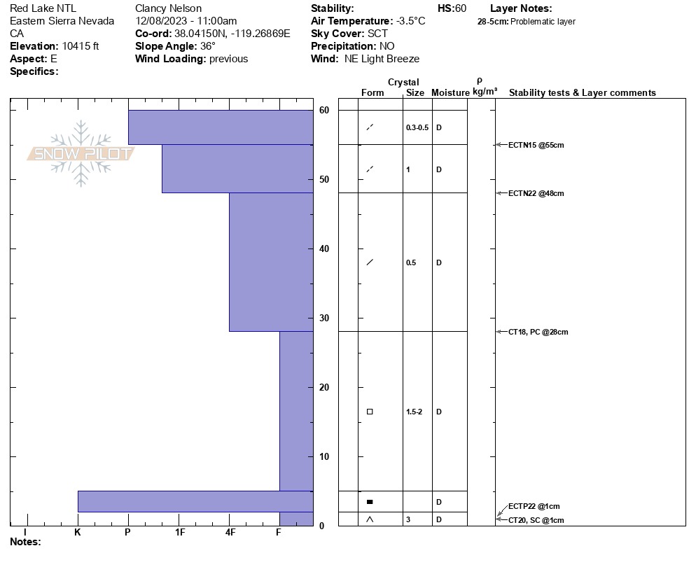
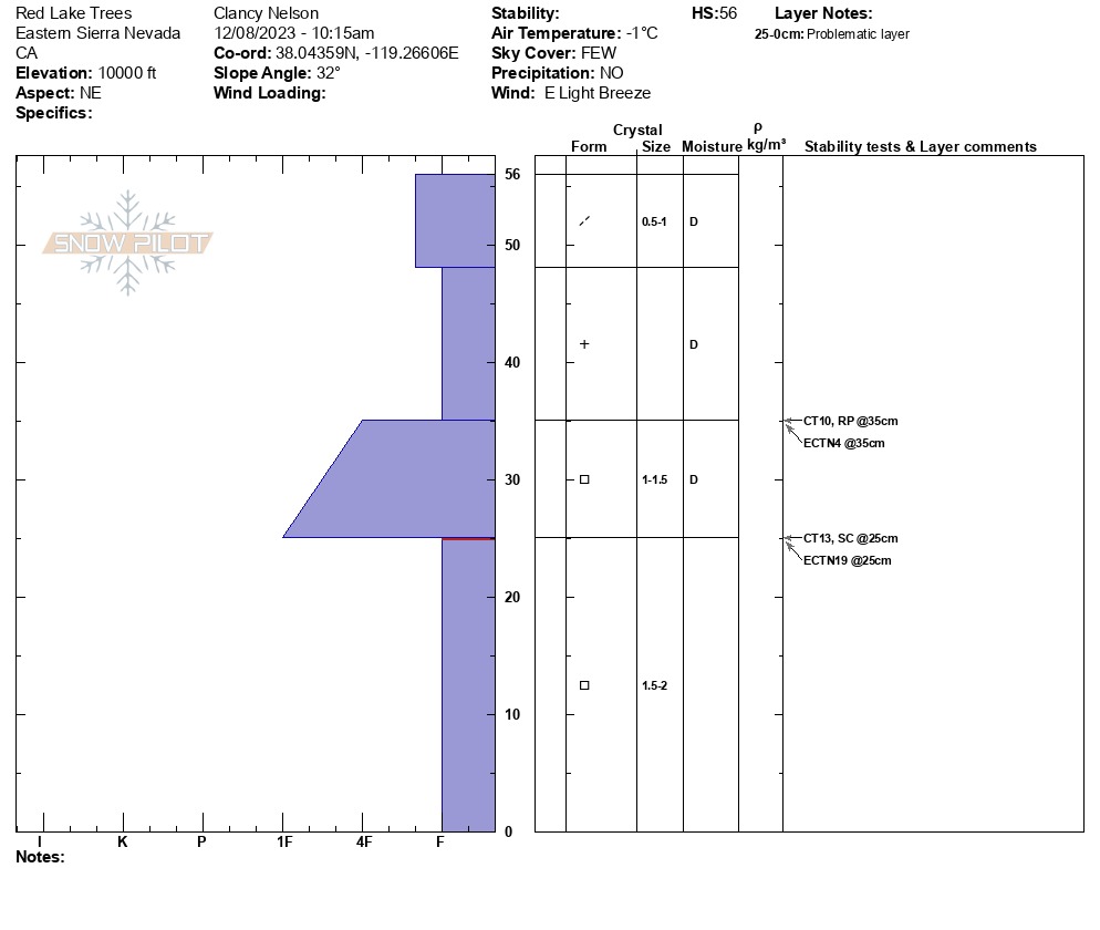
No signs of instability while moving through terrain. Stability tests in near treeline drifts with HS over 50 cm identified a wind slab interface from the most recent snowstorm and weakness in faceted snow at the ground below a basal melt-freeze crust (see attached profiles and test results).Weather
- Air Temp
- 30
- Cloud Cover
- few
- Wind Loading
- light
- Recent Snowfall
- 10 - 20 cm
- Snow Avail For Transport
- small smounts
Near freezing temperatures up to 11,000' today under mostly clear skies. Upslope winds were removing snow from North and NE-facing drifts at ridgelines.
Snowpack
See attached photos and snow profiles. These profiles were taken in deeper drifts on NNE aspects around 10,000'. In the alpine, there are four types of surface: bare ground, exposed alpine ice, melt-freeze / sastrugi over 10cm of depth hoar, and wind drifts.