
Quick report
We headed to the Rescue Creek drainage today, looking for evidence of the past week's avalanche cycle.
- Travel into the basin was fast on the supportable crust that was knife-hard to 4600 feet.
- Above 4600 feet, the crust became gradually less supportable and skinning was challenging.
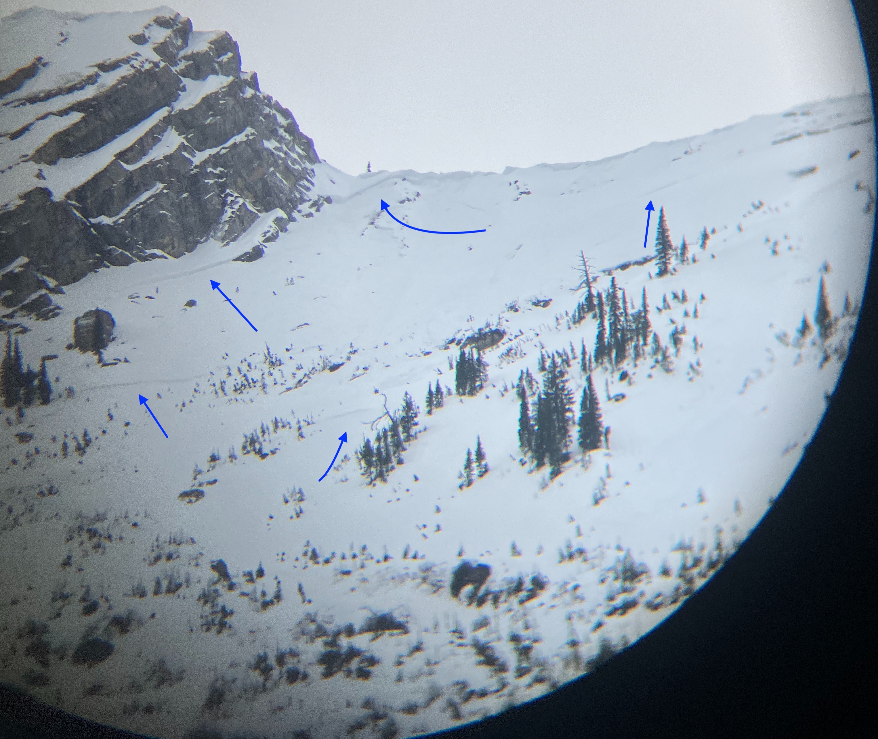
- Using binoculars, we spotted multiple fracture lines on an NE aspect approximately at 6,700 feet (see avalanche tab for more).
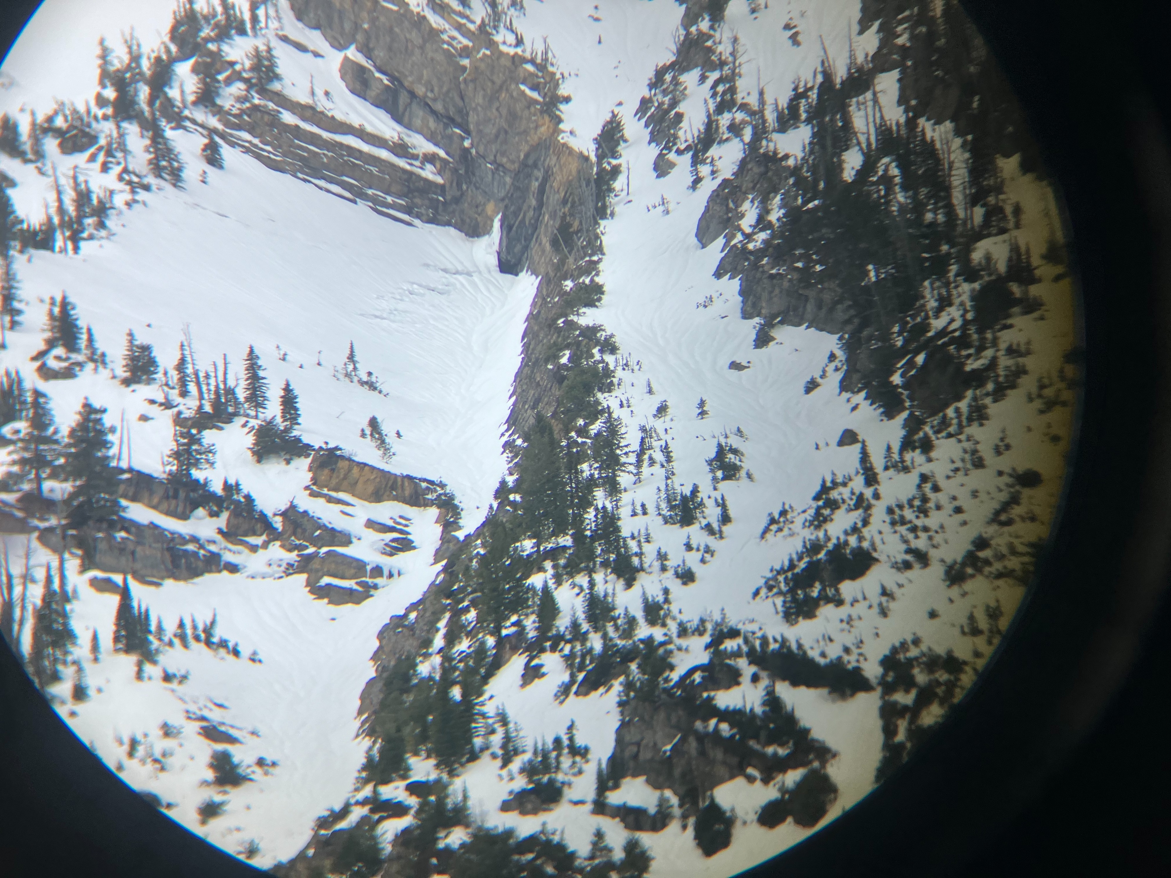
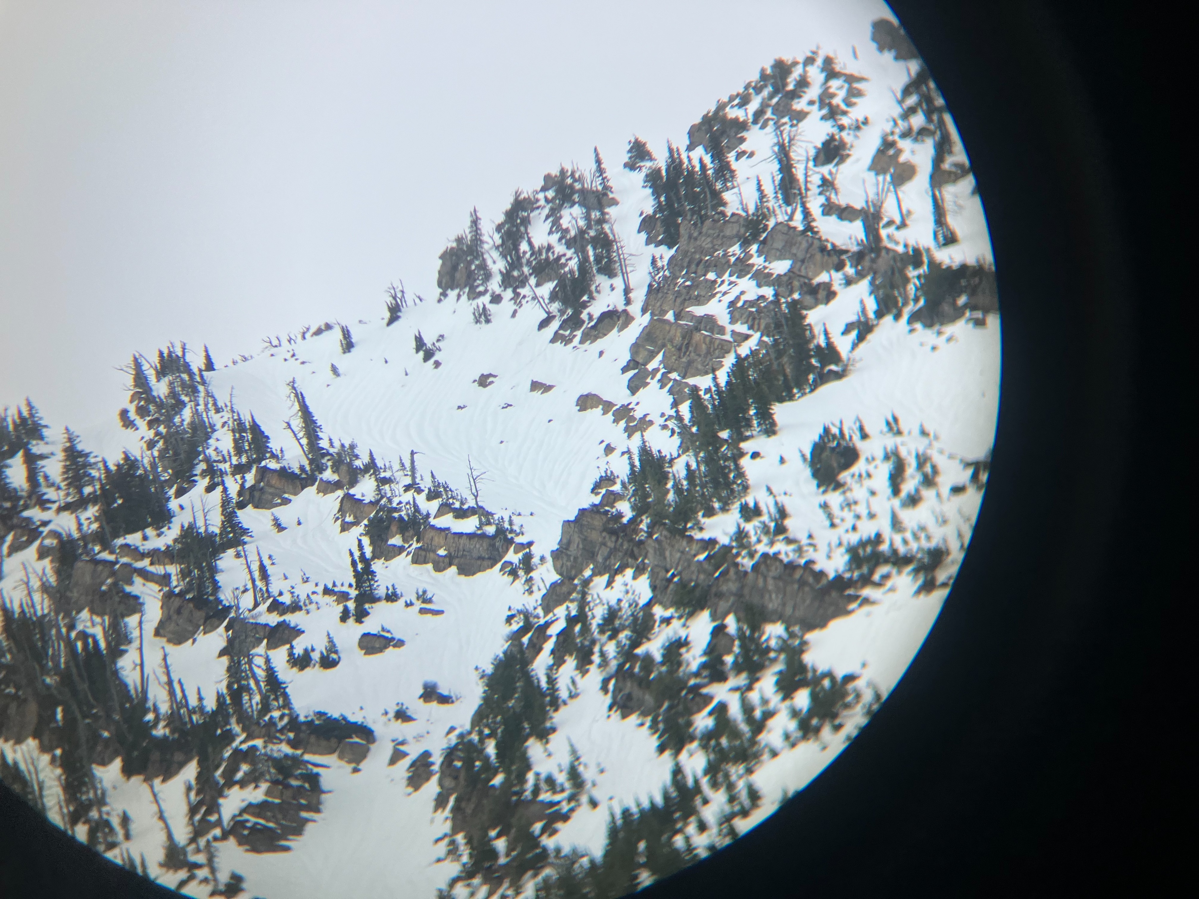
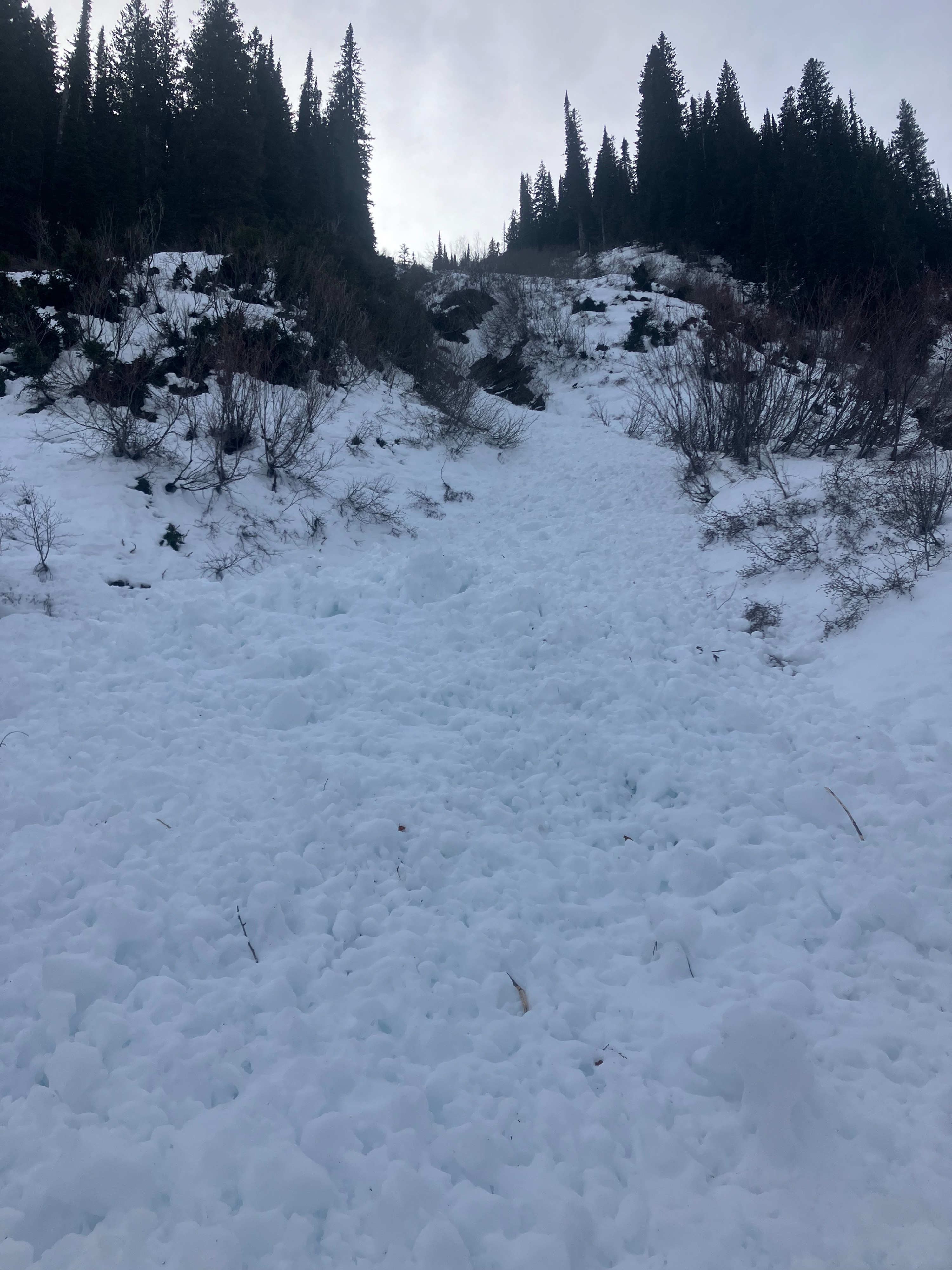
- Wet avalanche activity was observed on many slopes. Most appeared to be wet loose (soft slab) debris rather than wet slab avalanches.
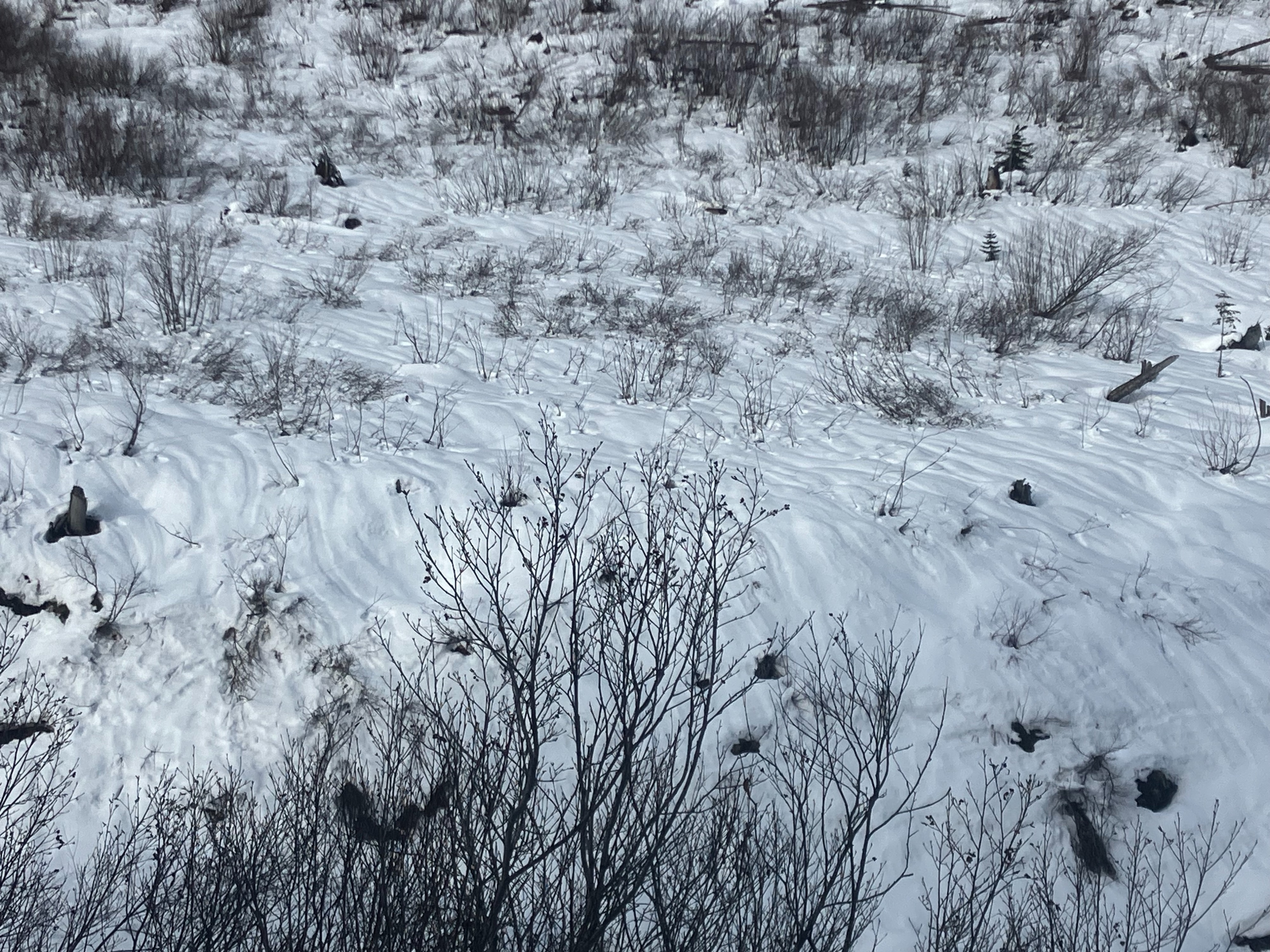
- Runnels dominated most of the surface snow. They were spotted on every slope aspect and initiated from the tops of ridgelines.
- One seasonal glide crack appeared to be opening on a SE aspect, at 7000 feet.
Weather
- Air Temp
- 30 to 35
- Cloud Cover
- overcast
- Wind Loading
- none
- Recent Snowfall
- none.
- Snow Avail For Transport
- none
There was a little blue sky in the morning and overcast in the afternoon. No wind and most of the day was above-freezing air temperatures.
Snowpack
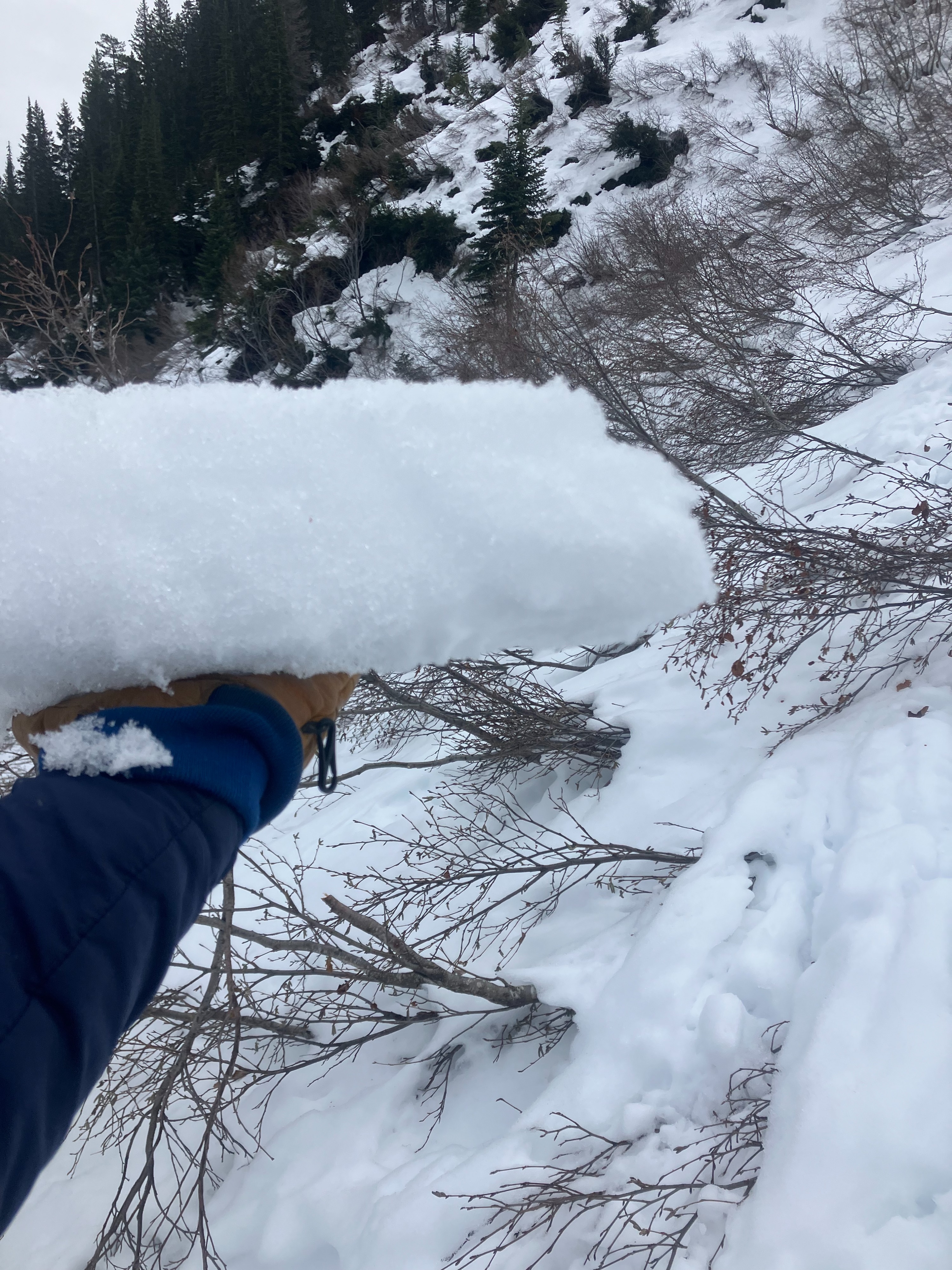
- A moist, stout surface crust (like an ice block) was found to be 30 cm thick in some locations.
- The 12/22/23 crust was buried 60 cm from the surface and had facets above and below the crust. Facets were moist.
- Facets at the base of the snowpack were moist to wet.
Avalanche
- Size
- D2.5
- Type
- WS
- Count
- 2
- Aspect
- E
- Elevation
- 6600 ft
We can only guess where the crown might be on this slide. Based on the debris, the avalanche stepped down to the ground.