
Quick report
We traveled on primarily easterly aspects today in Rock Creek to track warming. We were not disappointed.
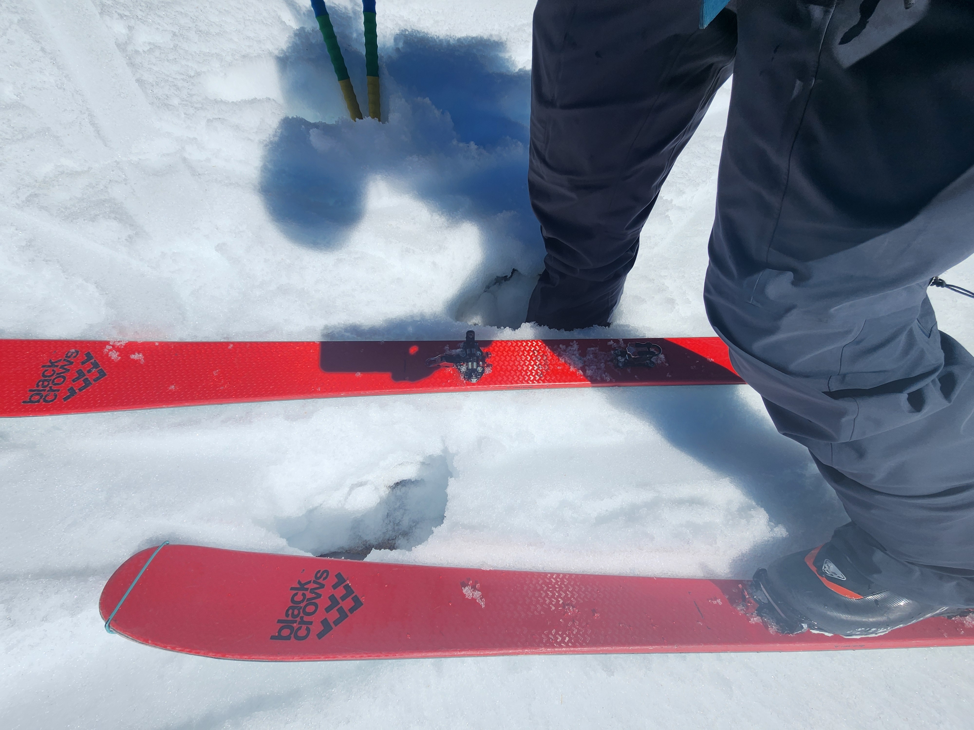
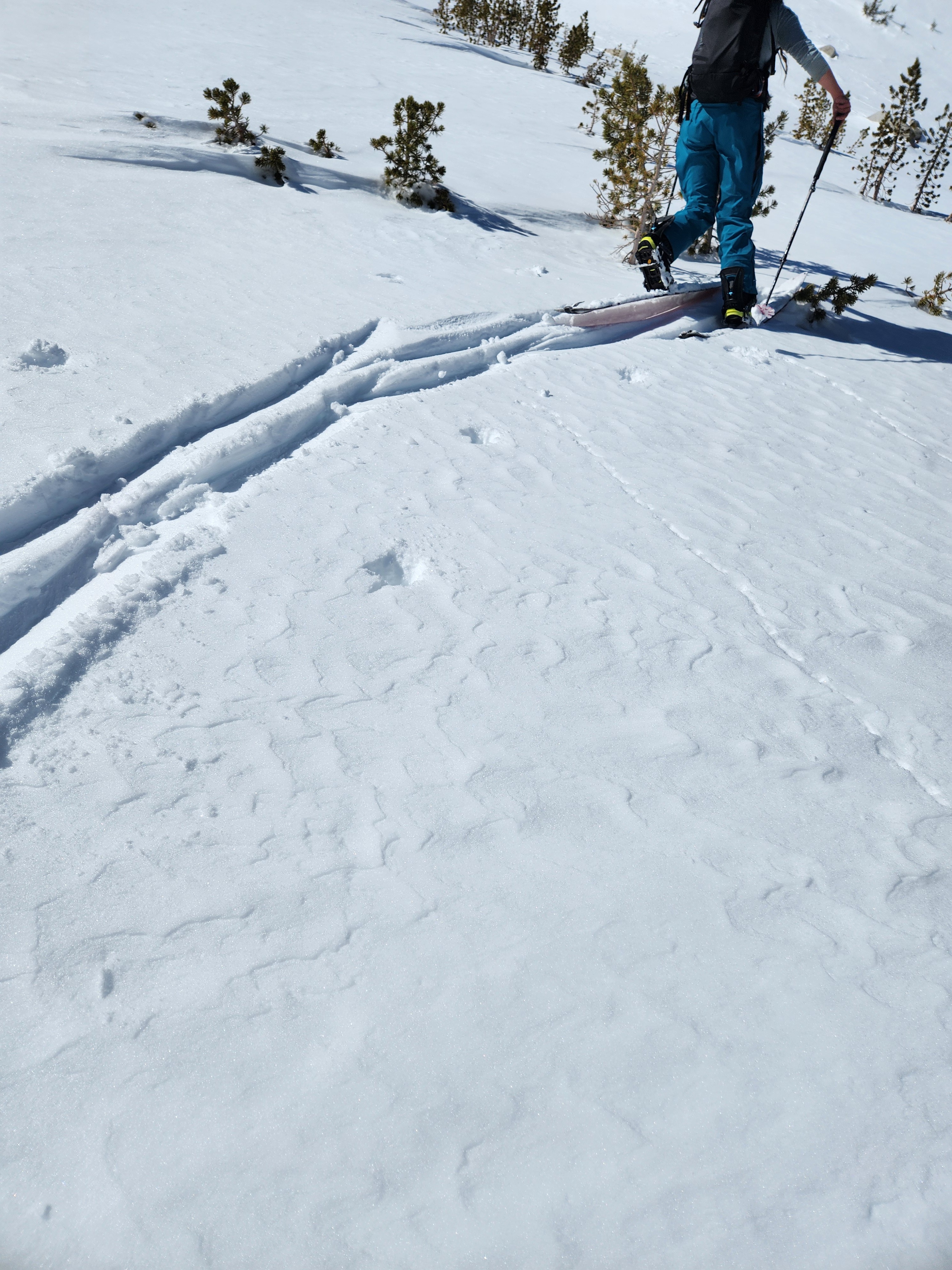
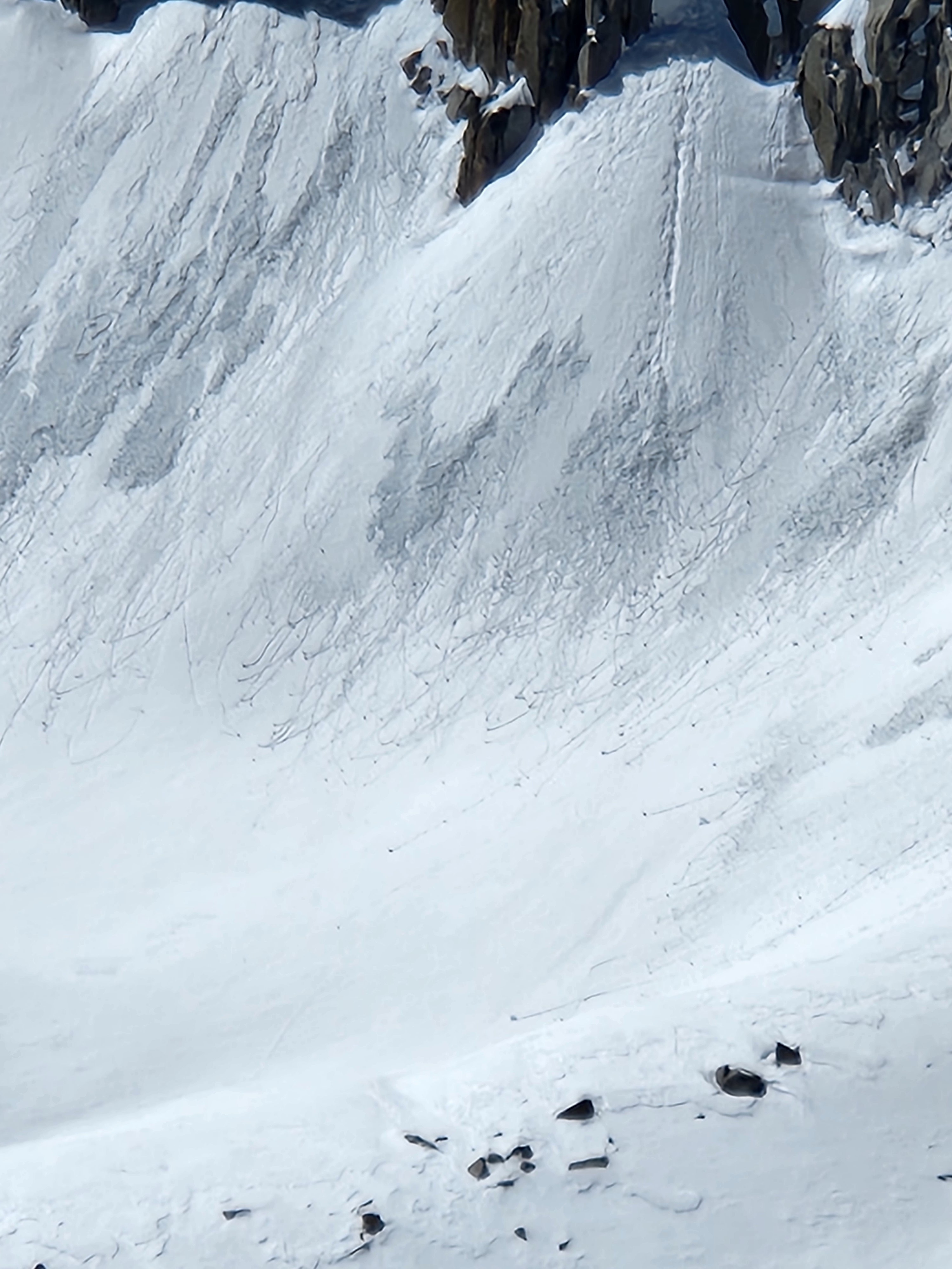
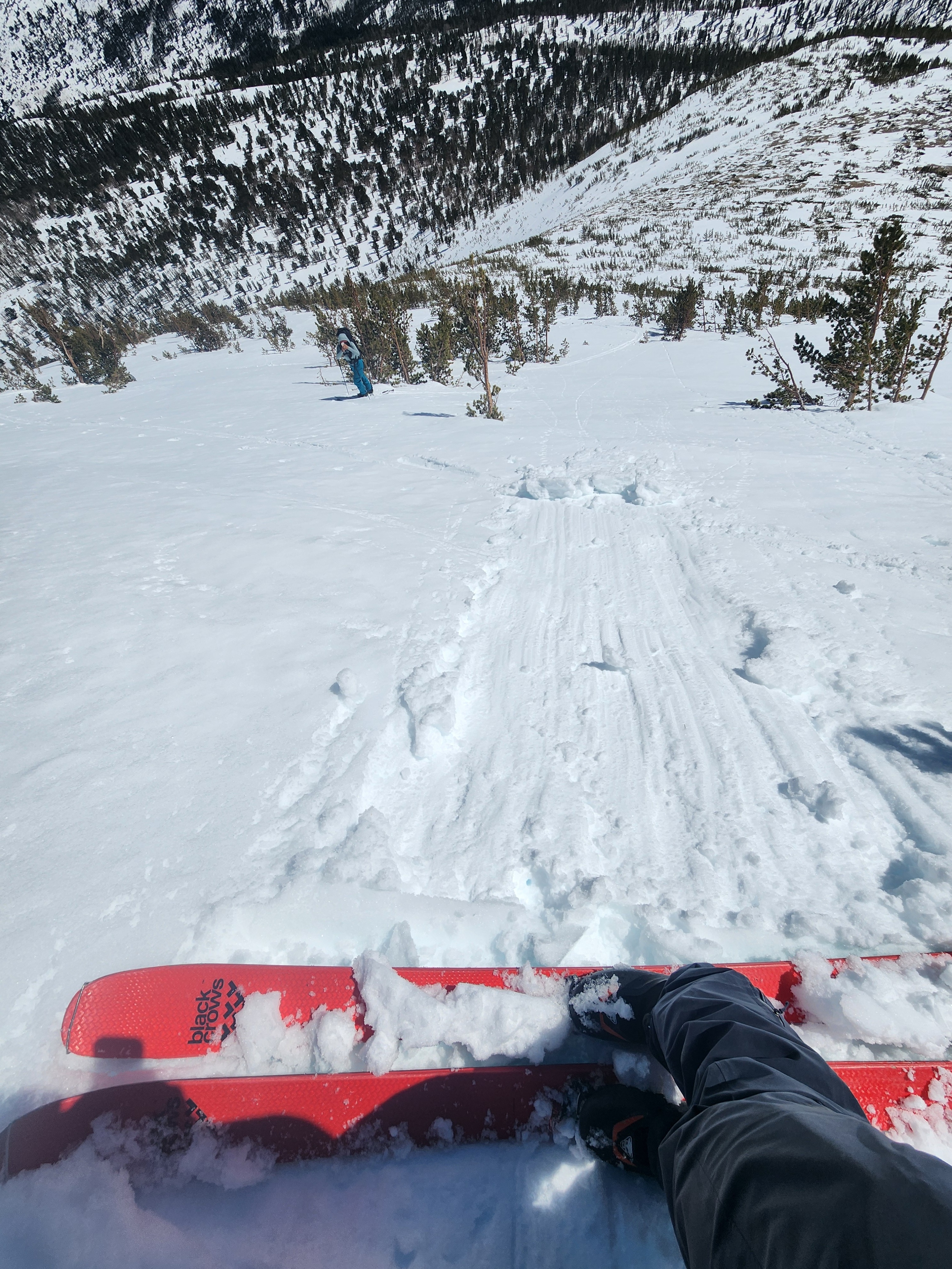
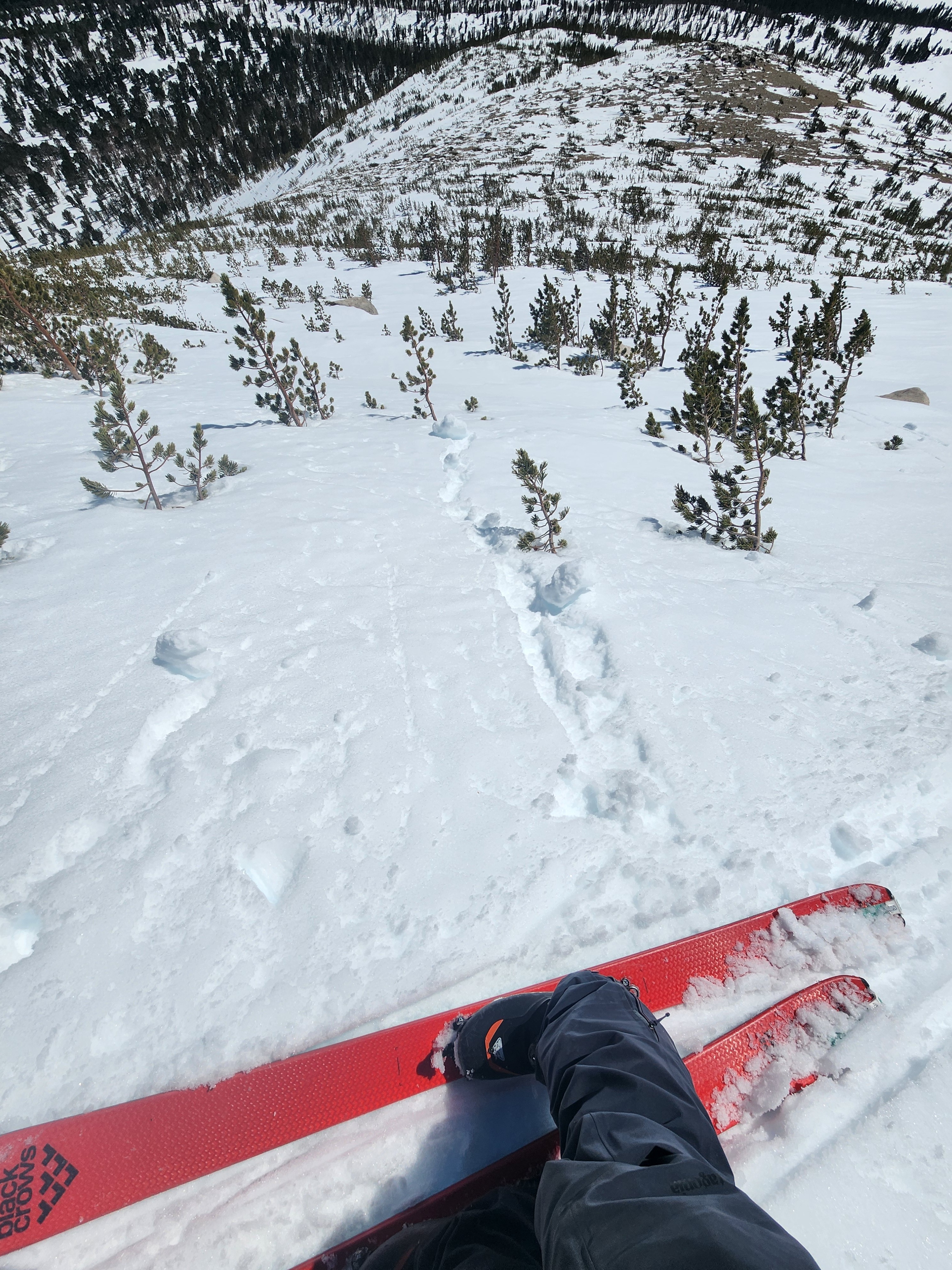
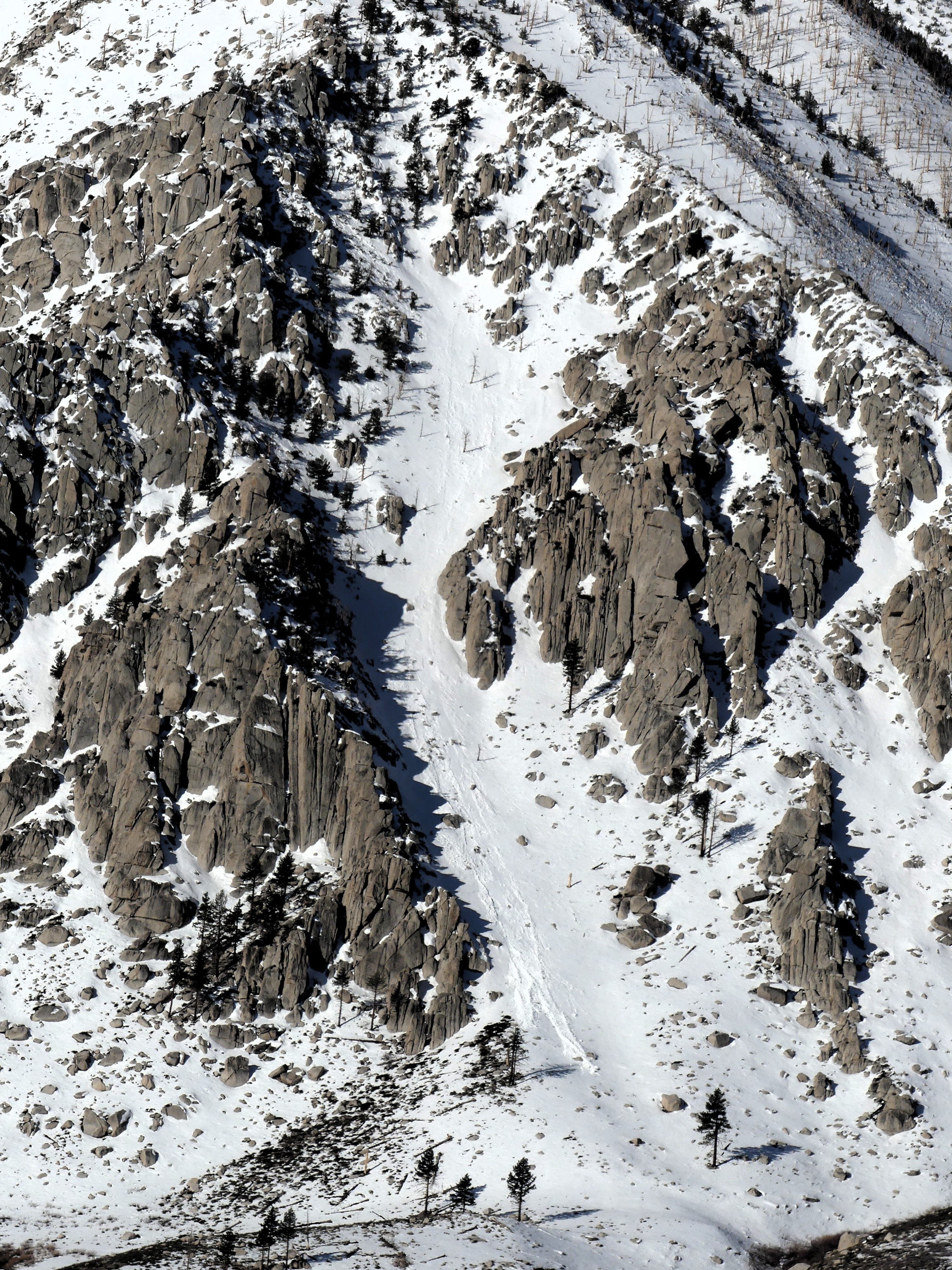
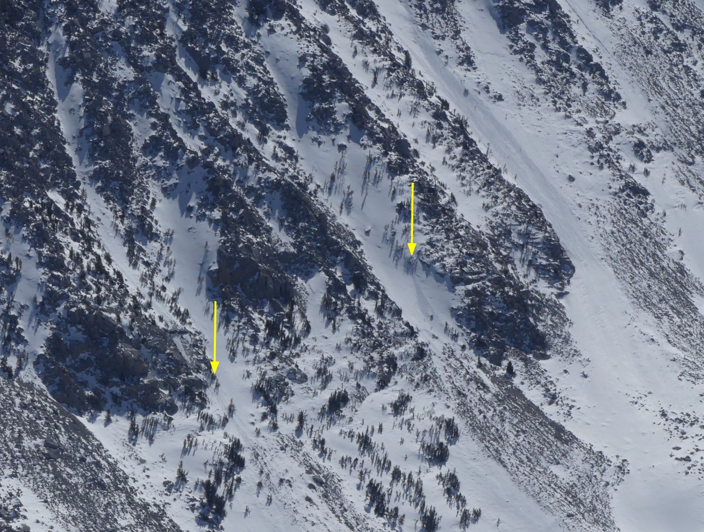
Rapid warming thawed the snowpack early and we sank deep into wet snow by 10 am at 10000 ft. We saw many small recent and new wet loose avalanches and roller balls. We even intentionally triggered some baby wet sluffs ourselves. All aspects and elevations below about 10500 ft. had surface thawing today. Slopes steeper than about 40 degrees near cliffs, trees, and other solar radiators thawed above treeline by noon.
We stuck to slopes with lower slope angles and without steep, melting snow above. We missed the corn window and skied down in wet snow with skis sinking deeper and deeper as we lost elevation. We were almost to out knees below 10000 feet in the early afternoon.
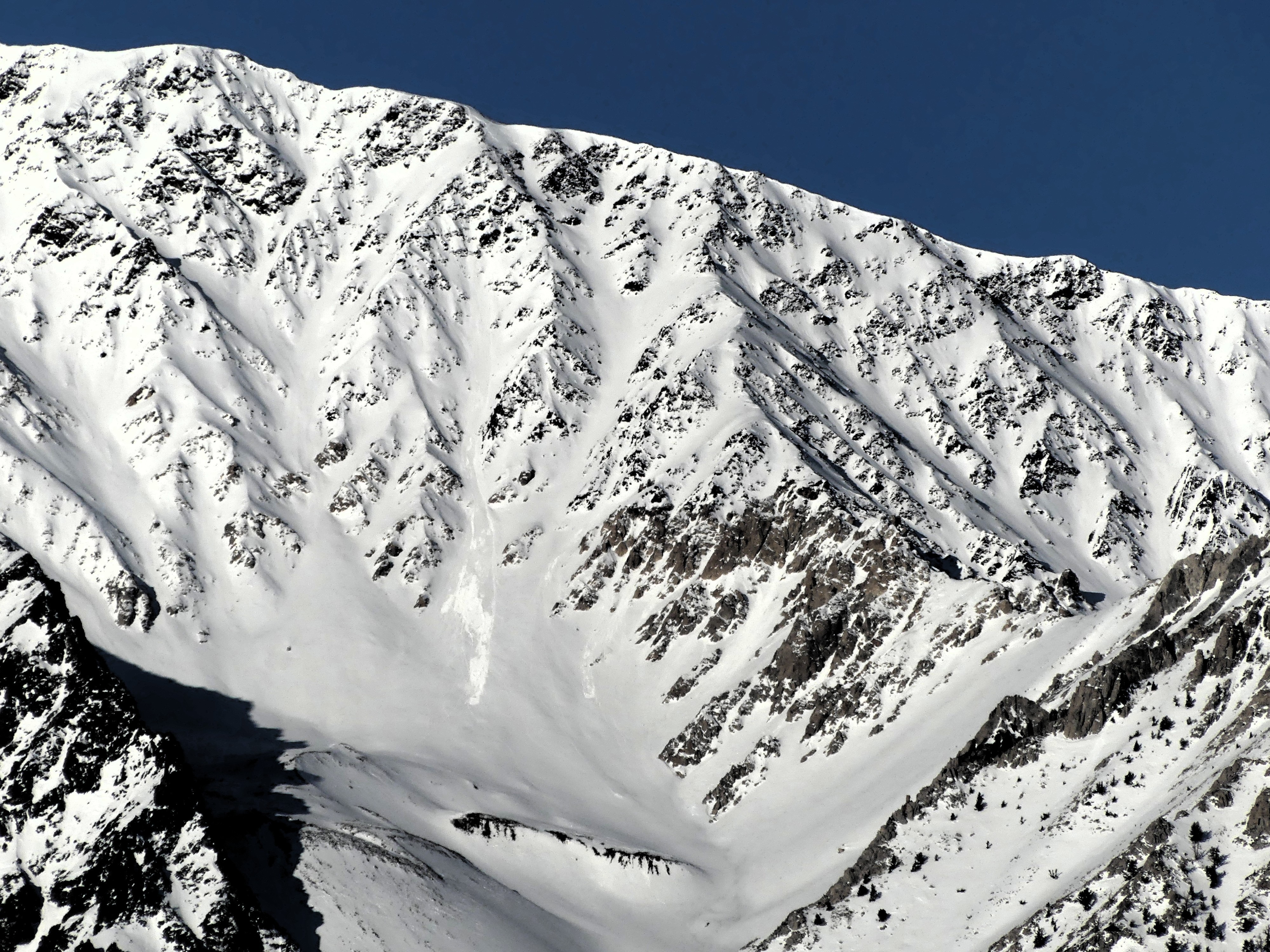
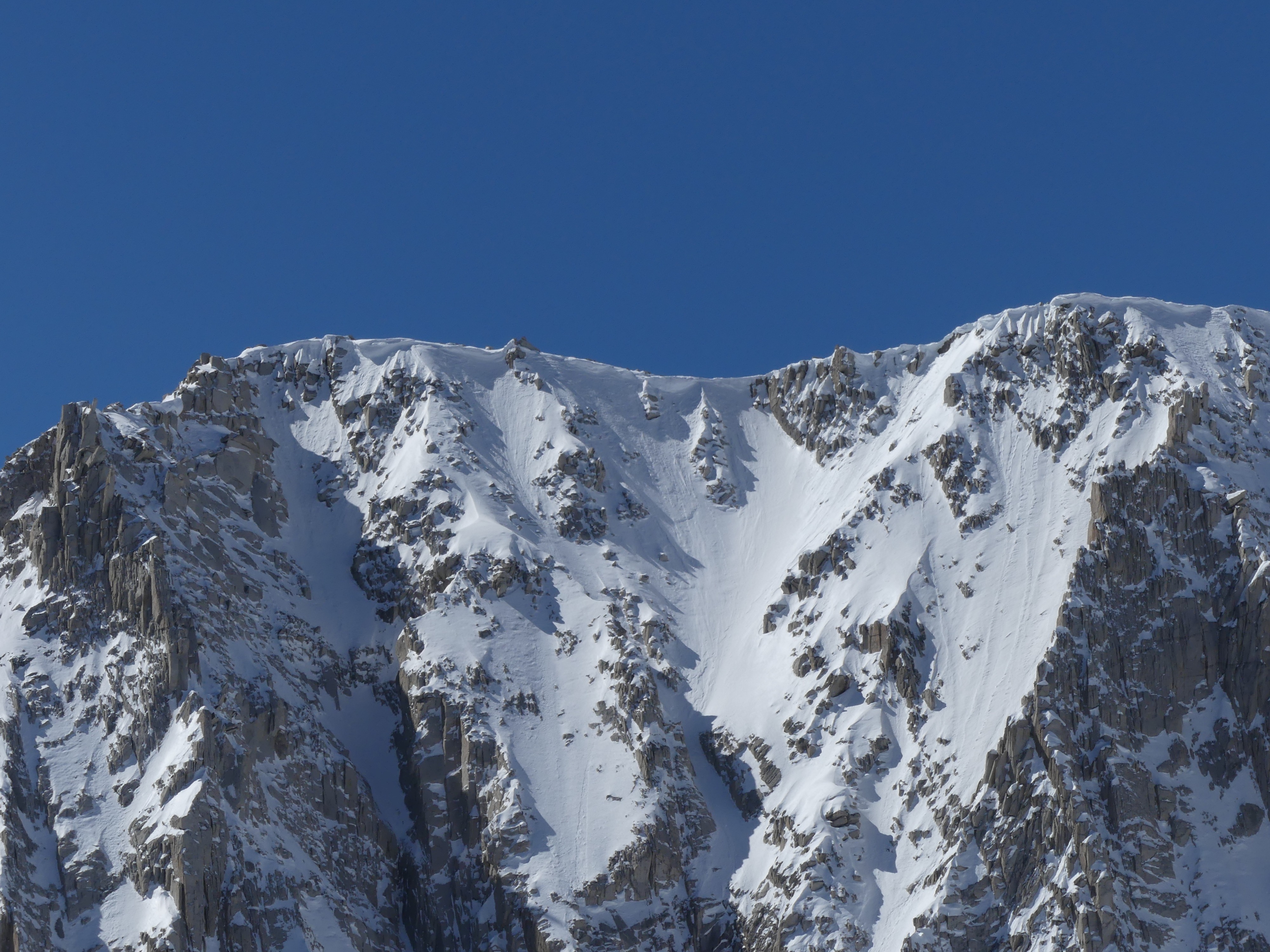
Despite recent gale-force north winds, large cornices are still hanging out over north-facing ridges.
See photo captions for more details.
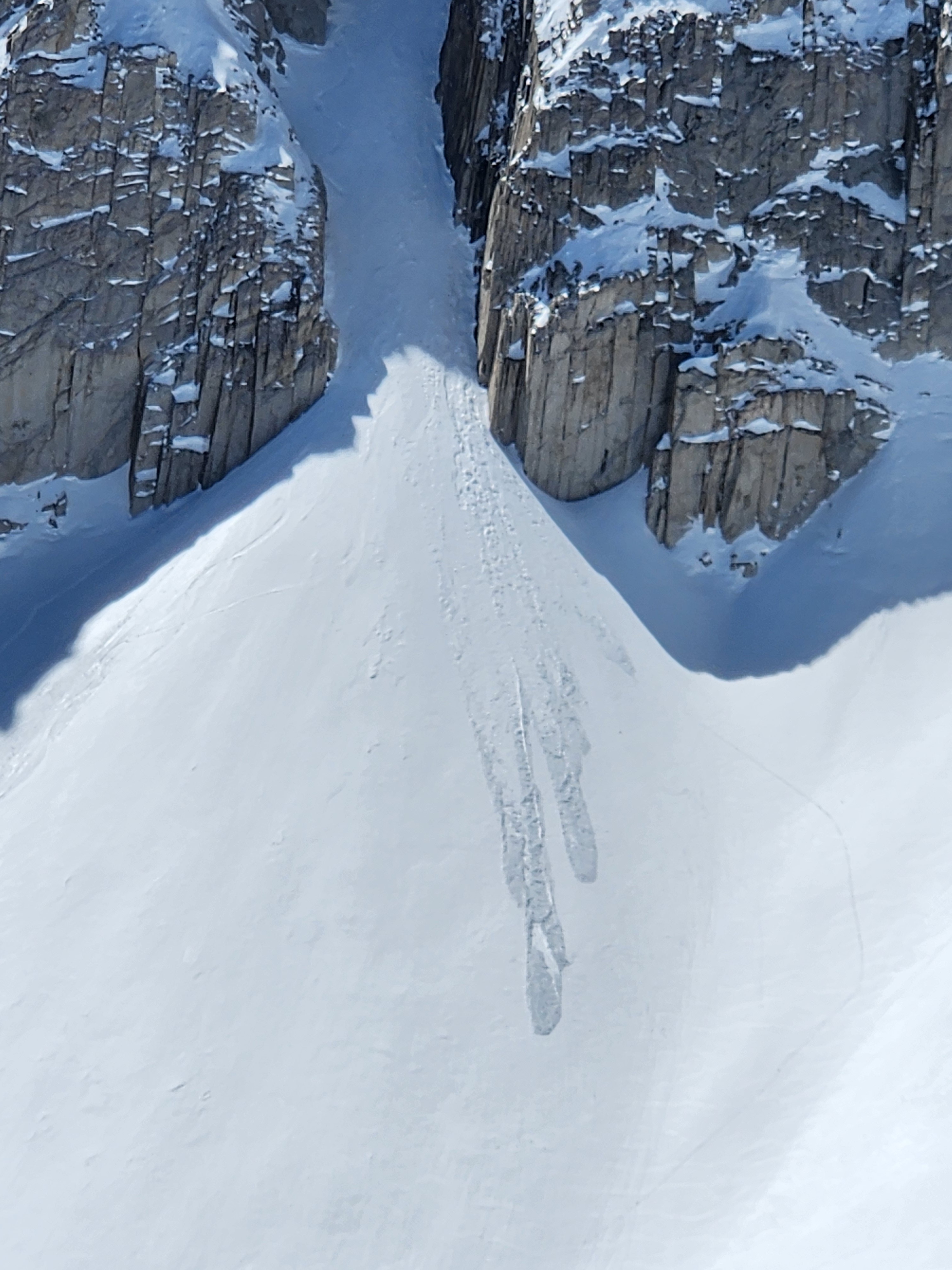
Several small natural wet loose avalanches ran yesterday and many roller balls and a few wet loose avalanches ran today. Most of these were on north, northeast, and east aspects. A few were northwest. They were at all elevations. We intentionally triggered a few very small wet loose avalanches and got roller balls on test slopes facing east above 11000 ft. afternoon today.Weather
- Air Temp
- Well above freezing.
- Cloud Cover
- few
- Wind Loading
- none
- Recent Snowfall
- 0
- Snow Avail For Transport
- none
Clear in the morning with increasing clouds over the Sierra Crest by mid-afternoon. Temperatures were in the 40s near and above treeline already by 10 am. Calm winds increased from the southwest throughout the day, though they were never more than light.
Snowpack
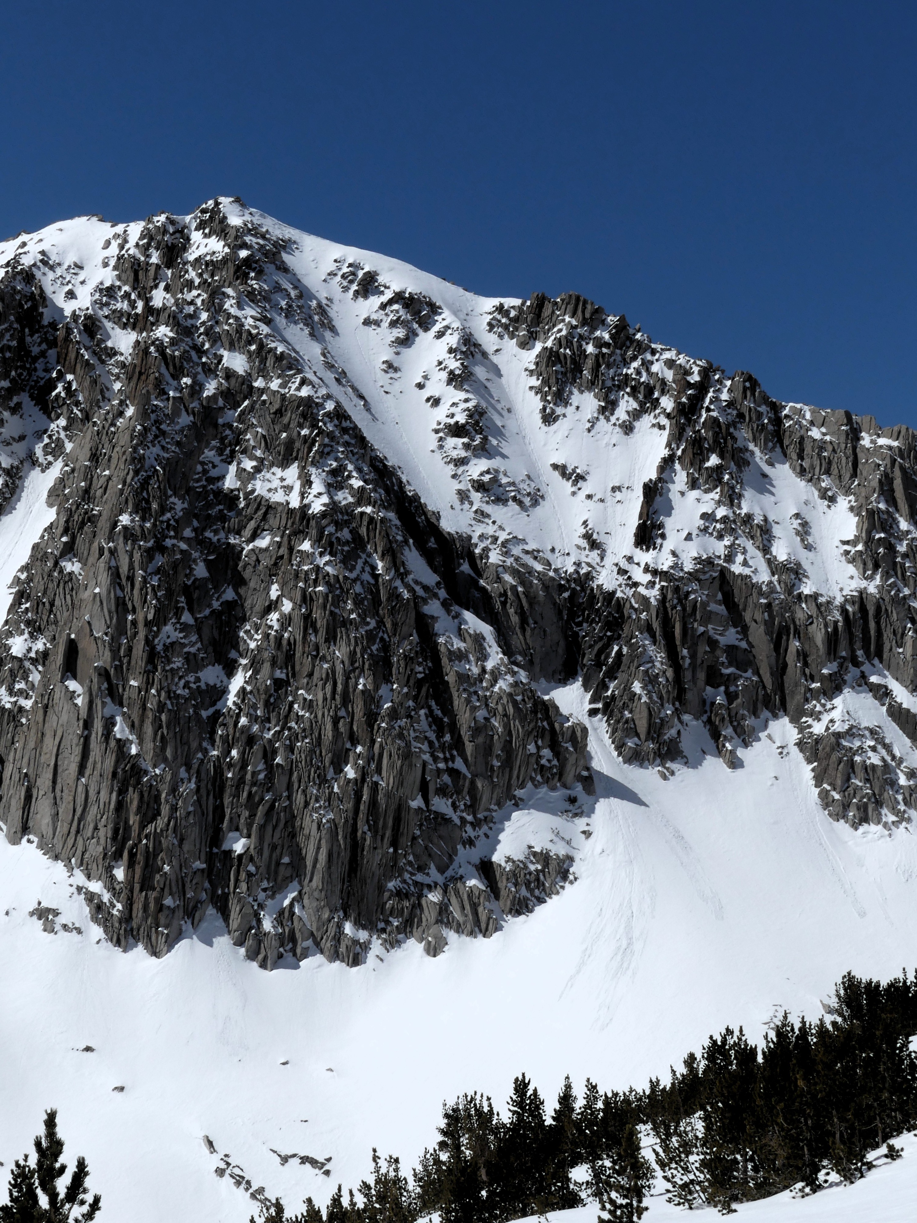
East and very steep north aspects were most active for wet snow avalanches today. Most wet snow instabilities consisted of small rollerballs.
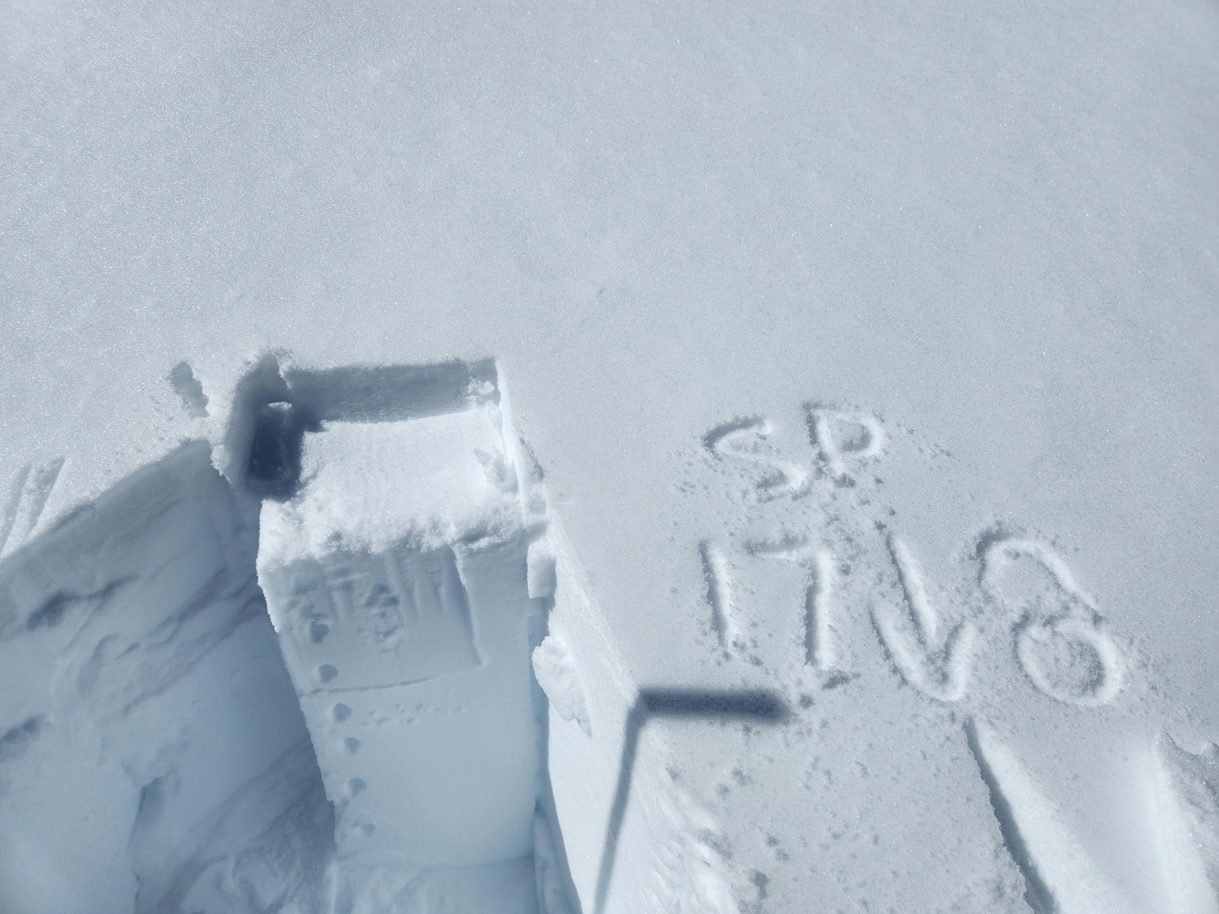
Wintry snow remained cold and dry on north-facing slopes less than about 40 degrees in steepness. There we found about 3-5 inches of recent snow above a thin melt-freeze crust. Between that crust and old stiff wind wind-deposited snow was another layer of soft cold snow. We got small column test results in the snow between the crust and old wind slab (CT17 SP down 8 cm). Few of the grains in our snowpack test were persistent weak grains, mostly decomposing snowflakes (DF).
Avalanche
- Size
- D1.5 R1
- Type
- WL
- Count
- 4
- Aspect
- NE
- Trigger
- N
- Elevation
- 11700 ft
See avy obs and photo captions for more information.