
Quick report
My goals today were to hone in on northerly aspects near and above treeline, as well as to monitor warming.
See either the snowpack section or the TL;DR at the bottom of the snowpack section for my wormhole on northerly terrain.
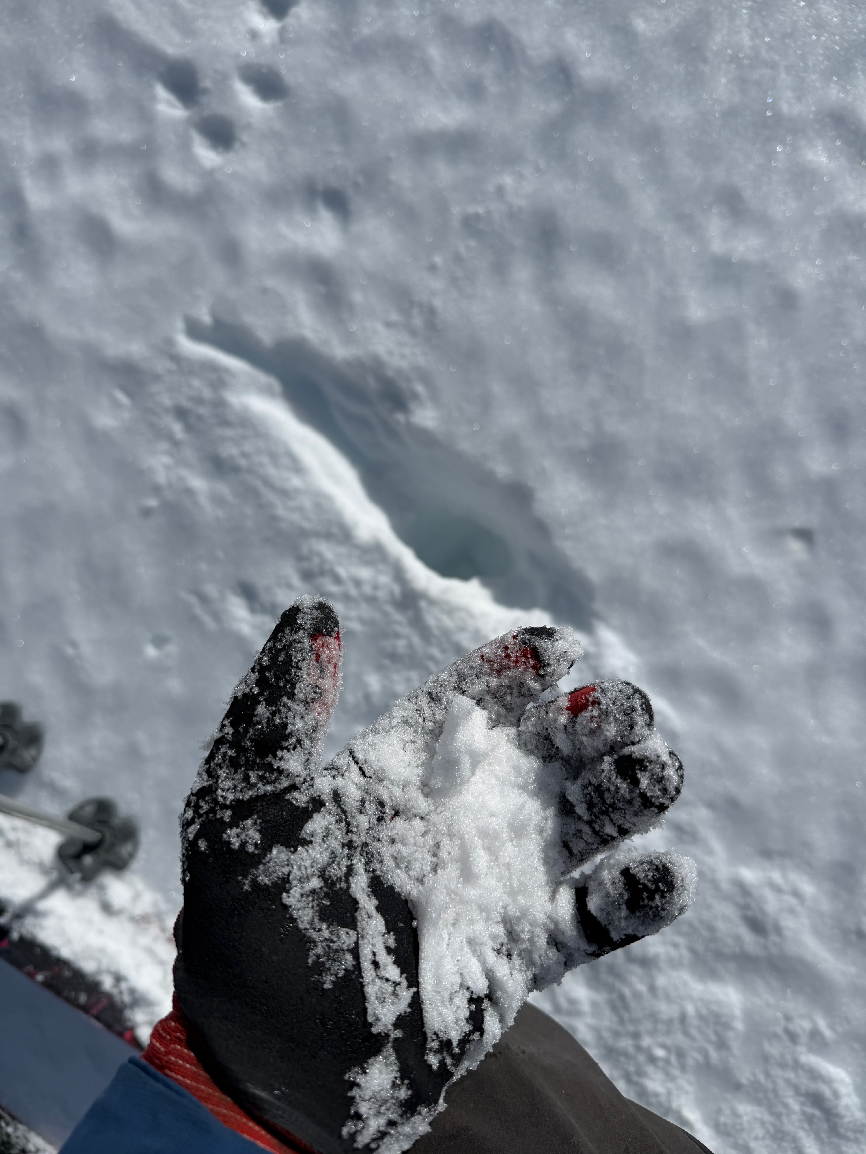
We found soft turns on southerly aspects and on low-angle, sunny terrain beginning around 12 pm. Things were slow to soften today, with partly cloudy skies limiting solar warming and light winds helping to keep the temperature down. By 1 pm, low-angle, low-elevation northerlies were just beginning to soften at the surface.
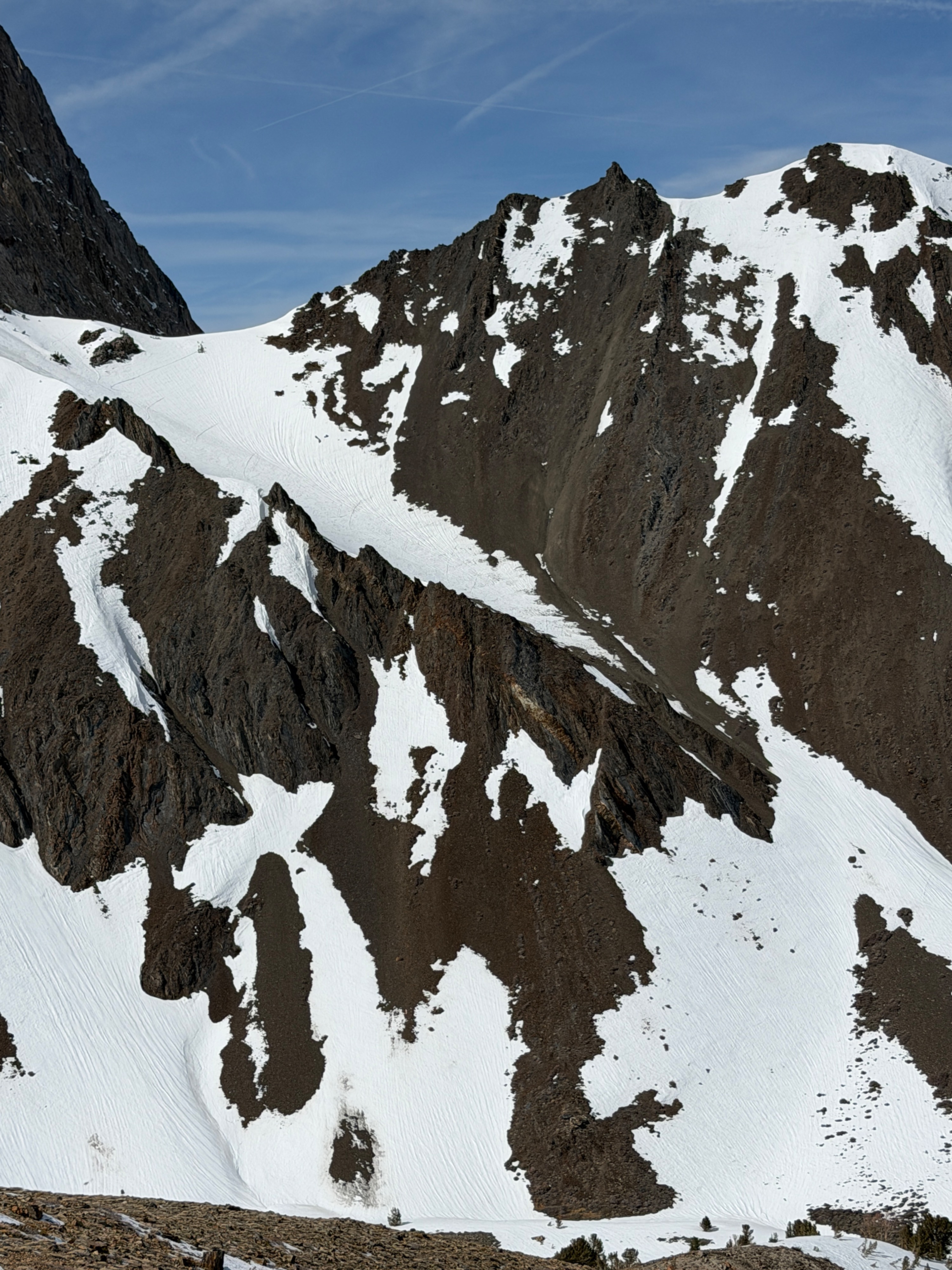
Coverage continues to diminish, and access to the southerly side of the Morrison Col looks to involve a walk across a lot of dirt.
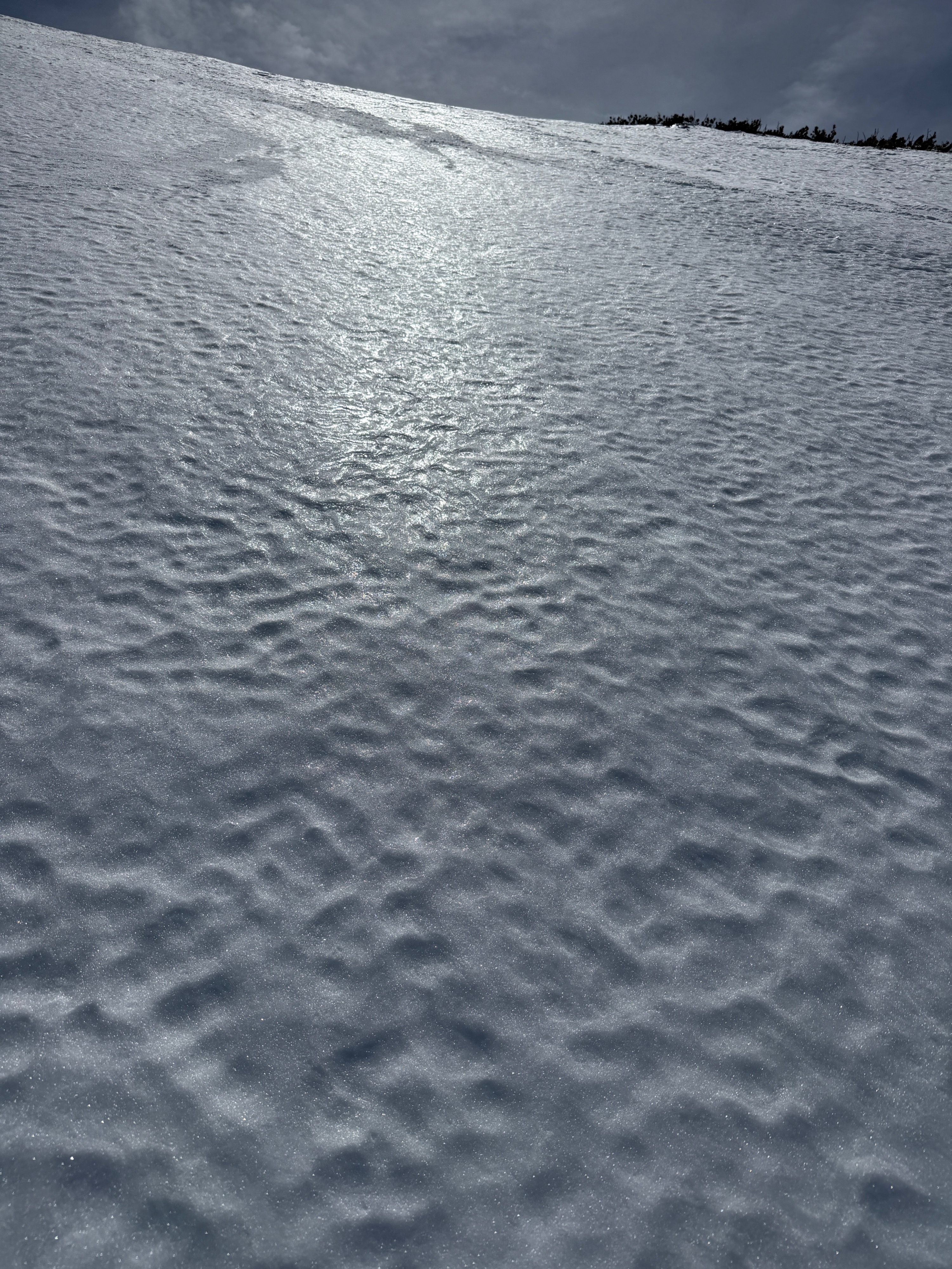
Surfaces were firm to start the day, and ski crampons were a needed item in the pack.
No signs of instability.Weather
- Air Temp
- 54
- Cloud Cover
- scattered
- Wind Loading
- none
- Recent Snowfall
- 0
- Snow Avail For Transport
- none
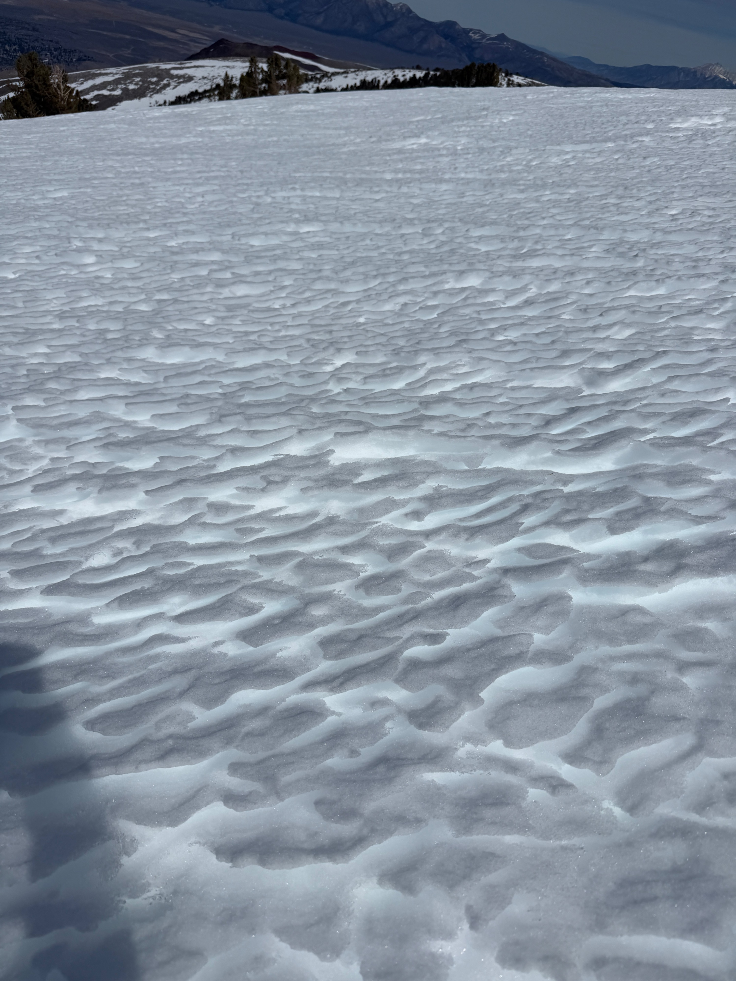
The air temperature was 32 degrees F when we left the car at 8:00 am today, and it warmed slowly as we toured. Cloud cover was variable but generally increased throughout the tour. Winds were calm to light out of the west. No blowing snow. When we returned to the car around 1:30 pm I measured a shaded air temperature of 54 degrees F.
Snowpack
I focused on north-facing aspects at mid- and upper elevations to gauge how the upper snowpack has been affected by warming since 2/24. Northerlies have dried out since our week without a freeze, ending 3/3. I dug a few holes today, all on north or northeast aspects. One at ~10300', one at ~11200, and another quick peak at 10600'. While they all had signs of melt in the upper layers, they also had a few differences.
- ~10300' had layers of refrozen meltwater, melt forms, and refrozen melt freeze crusts in the top 25cm. This location had a more extensive warmup, but meltwater may not have percolated down to the 2/10 interface. A dense layer of small rounds lived under the top 25cm, with small (1mm) rounding facets existing below (2/10). The 2/10 interface showed signs of healing since it had been buried, with a hardness of 1F and small facets.
- ~11200' had obviously been less impacted by the 2/24 warmup. The surface had a few cm of wind-packed snow resting on a cohesive Pencil melt-freeze crust. This cohesive layer from 130-115cm appeared to have become denser from the 2/24 warmup, but it did not contain refrozen meltwater or show signs of any true drainage. Below the 15cm melt-freeze brick, a 35cm layer of small rounds existed above the 2/10 interface. The facets in 2/10 at this higher location were larger (2mm) and, while still relatively firm (1F), had a much more intact structure than those at 10300'.
- To really muddle up any continuity in the impact of warming in the upper snowpack, I popped my head into a hasty hole at 10600' on a northeast aspect. The surface had an ice lens (presumably from a quick spit of isolated rain showers around 3/1) capping another 30cm melt freeze crust complex. Small, dry rounds existed 30cm down. I did not dig to 2/10 at this location because my shovel may have cracked in half while trying to get through the surface brick.
TL;DR
Lots of variability. But, northerly aspects near and above treeline in the Convict to Aggie area have an entirely dry snowpack below our upper melt-freeze craziness. 2/10 is still easily discernible, but is composed of harder (1F) rounding facets beneath small, compressed rounds. We have a fine-grained slab interfacing with coarse, rounding facets.