
Quick report
- Cracking
- specific
- Collapsing
- specific
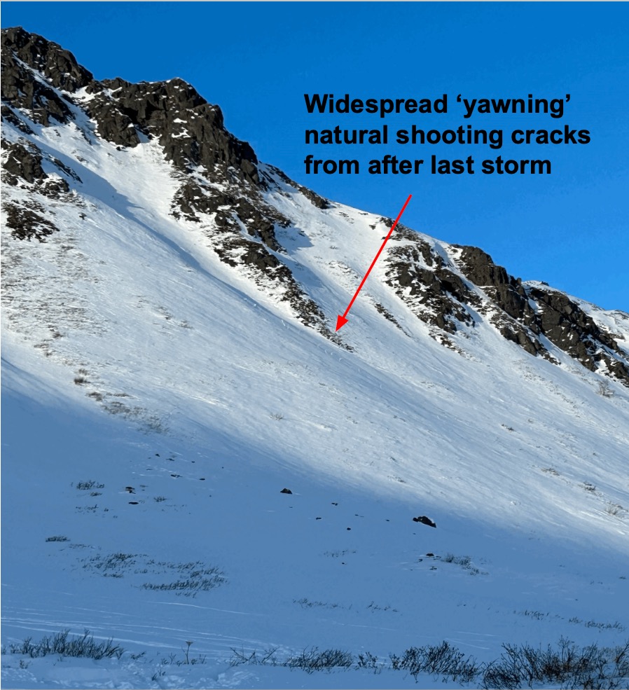
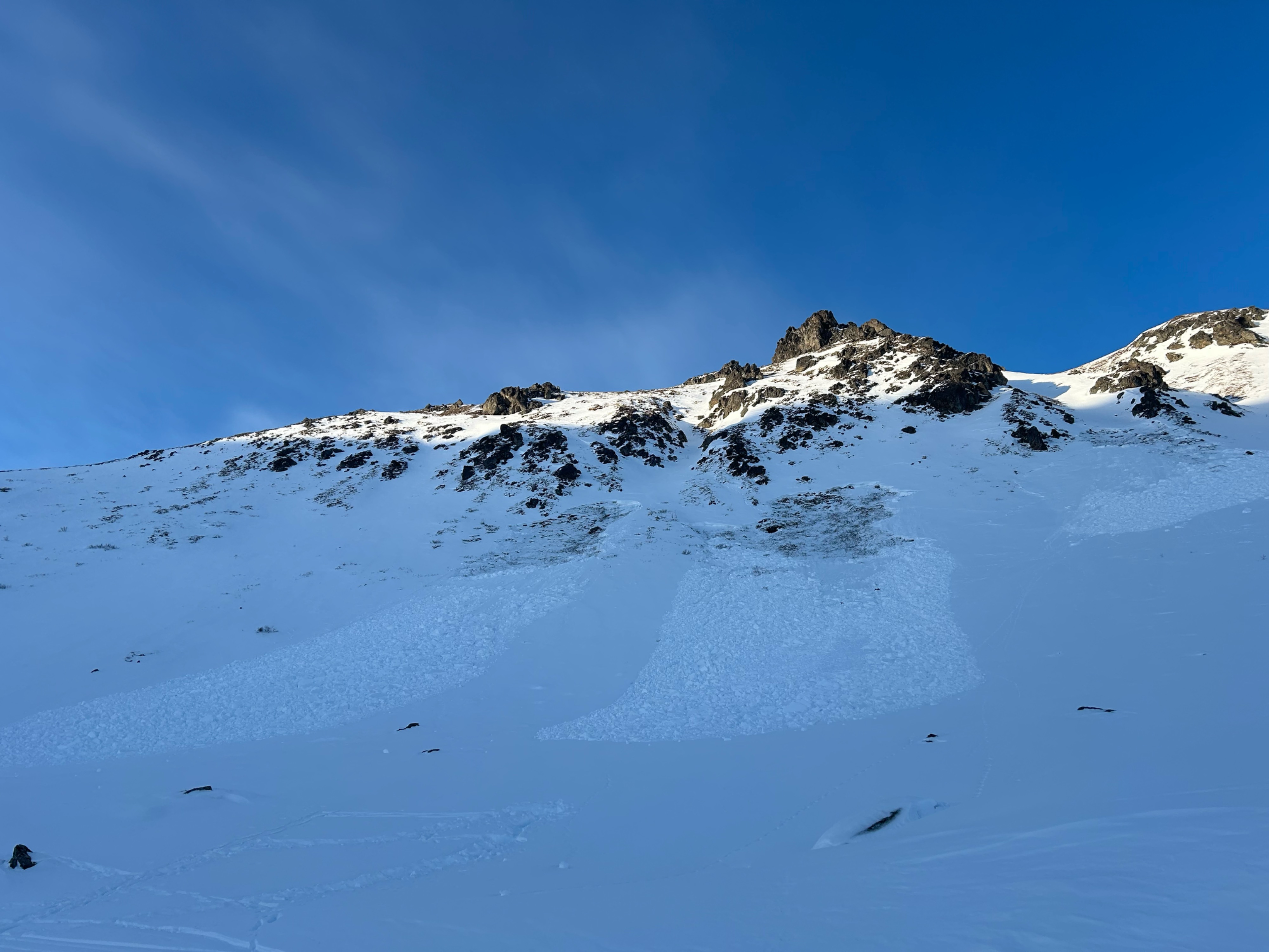
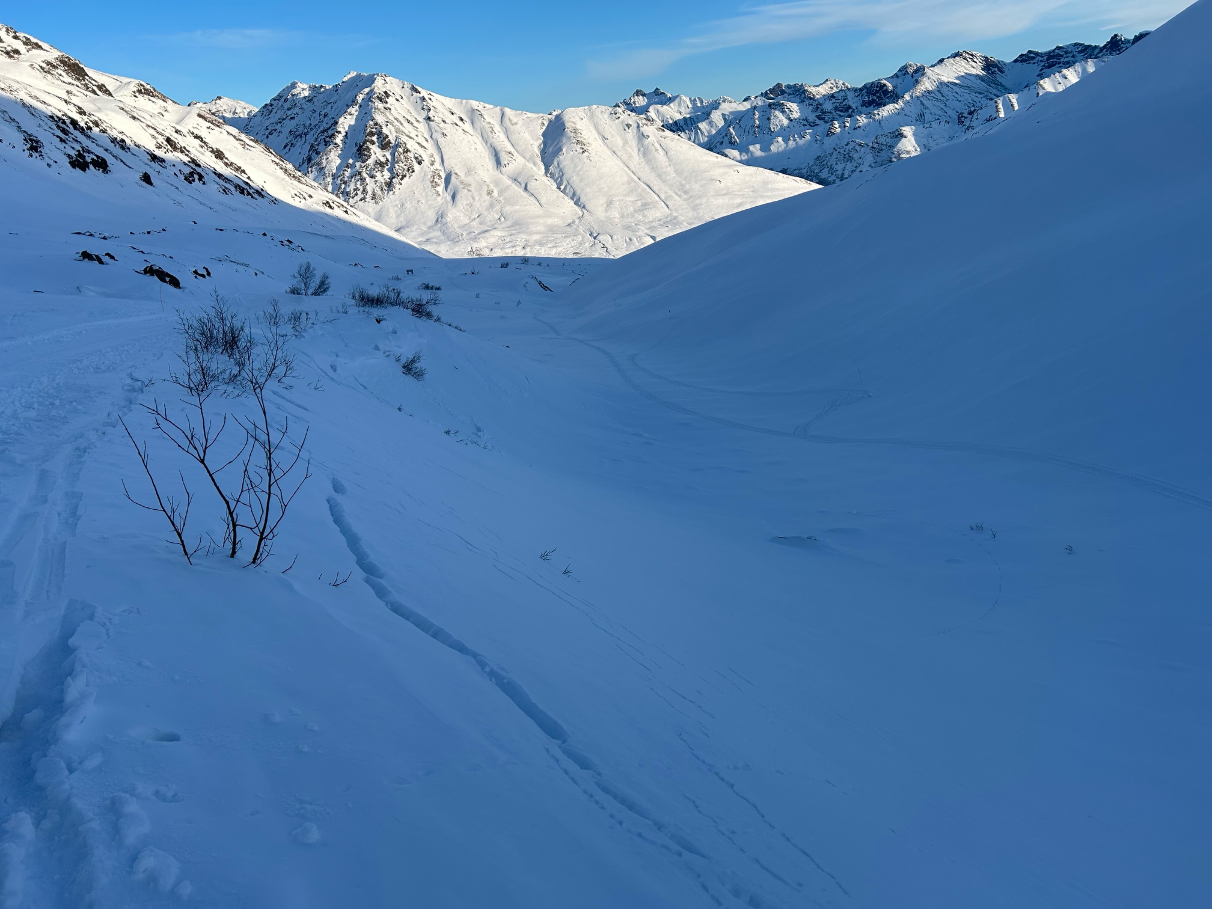
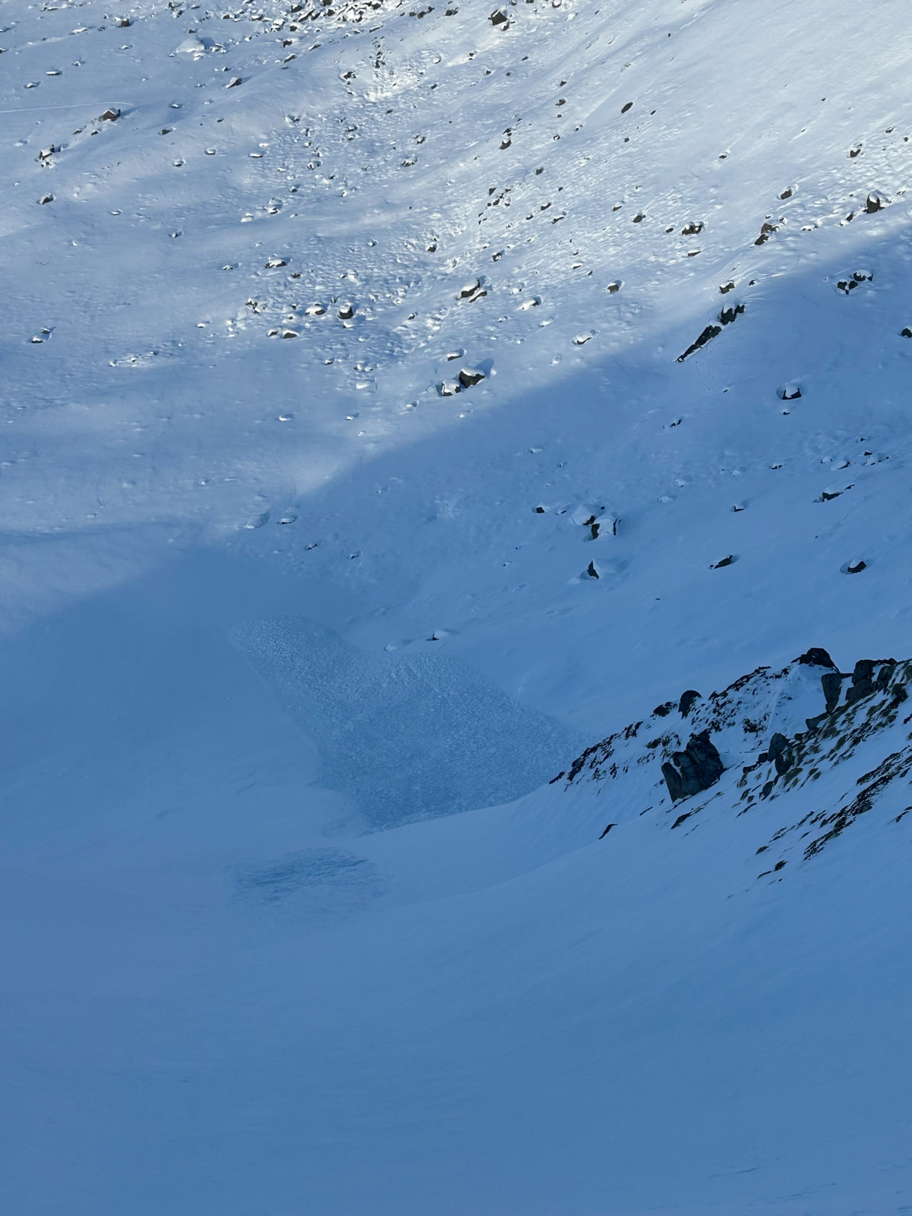
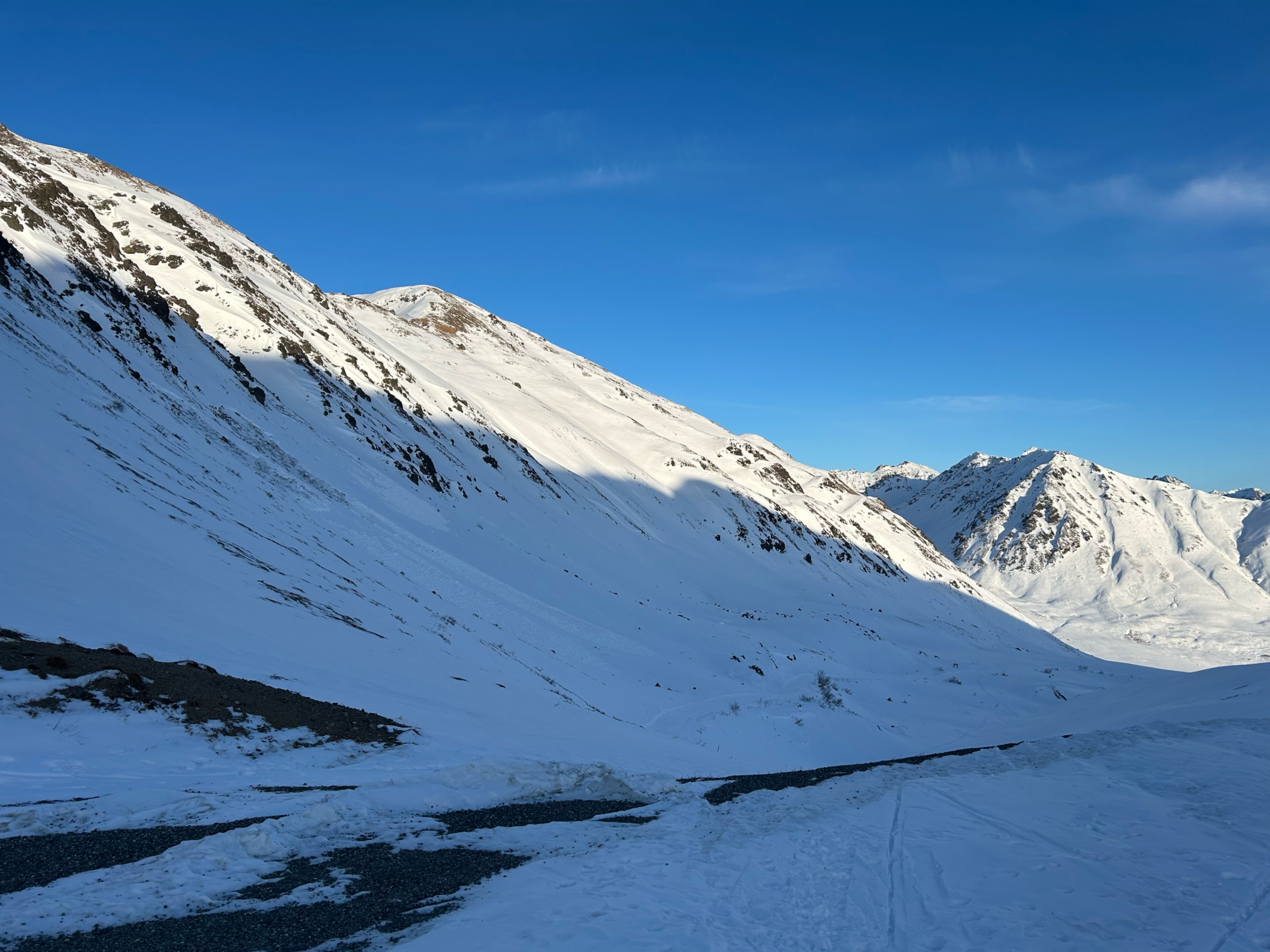
Went out to the pass to assess the impact that the recent, long inversion has had on snow surfaces, get a feel for the distribution of the persistent slab setup, and enjoy the sunshine. Toured out for a lap on Microdot and a lap on the Summit lake road. Generally, we observed the weak facet under slab combo in most locations that we traveled, yet there were some places, mostly at upper elevations, where there was just slab on ground. We found pole probe travel tests to be really effective in assessing the location of the forecasted persistent slab problem. We traveled with a conservative mindset today, spacing out, one at a time in steeper terrain, and did not spend time in avalanche start zones. This was due to the poor snowpack structure, unstable test results, and lots of exposed rocks. The snowpack gave us some feedback today telling us it is unstable, but not much. Though the trend is that the snowpack is getting more stubborn, with warm temps and calm weather, that doesn't always mean stability, therefore we treated the poor structure with respect. Observed large collapses and long shooting cracks in the flats between Microdot and Rae Wallace, then got a few more at 4200' on Microdot ridge. Collapses in meadows under El Dorado. Rollerballs on steep southerlies in Martin Mine and a few on the Skyscraper ridge southerlies.
Weather
- Air Temp
- 28/34
- Cloud Cover
- few
- Rain Elevation
- Inversion
- Recent Snowfall
- 0
- Snow Avail For Transport
- small smounts
Thin clouds in the south kept the sun mostly hazed over. Light northerly wind kept things cool even though air temp was above freezing. (28F morning, 34F afternoon at car). Felt like a nice spring day.
Snowpack
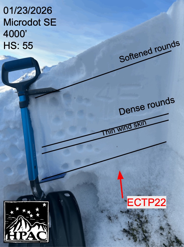
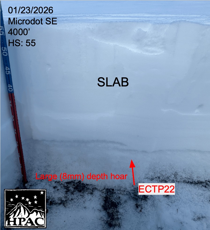
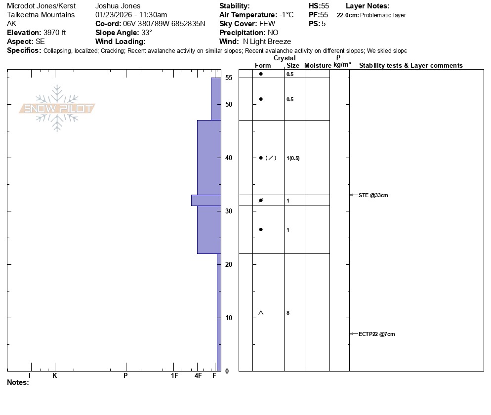
The many wind events that impacted the pass earlier in the season has contributed to an inconsistent distribution of the large basal facets in the upper elevation band of the forecast zone. We relied on pole probing as an effective method to identify what was underneath the widespread slab that makes up most of our snowpack; we found just ground in some locations under the slab, yet large facets in many. Surface conditions were slightly softened but generally still firm where we traveled. Dug a pit at 4000' on a southeast aspect of Microdot. Instability tests provided unstable results (STE, ECTP22 @ 48cm down on depth hoar). See snow pilot attached for more. In our pit, the slab was dense and the facets were not showing signs of rounding