
Quick report
We observed a strong, generally stable snowpack at middle and lower elevations.
Weather
- Air Temp
- Inverted
- Cloud Cover
- clear
- Wind Loading
- previous
- Recent Snowfall
- 0
- Snow Avail For Transport
- moderate amounts
Started the day in single digits. Valley temps stayed cool. Middle elevations felt quite warm. No wind.
Snowpack
Surfaces: On shaded slopes, near-surface faceting has weakened snow at the surface. We found some isolated pockets of standing surface hoar. Steep, sunnier slopes at middle and upper elevations were wet. We observed meltwater down ~20 cm.
We found middle-elevation snow depths that ranged from 150 to 200 cm. The 12/13 weak layer was down 120 cm and presented as rounding facets on a NE slope and rounding facets under a crust on a SE slope. Instability tests produced no results, although we could get the weak layer to propagate after excessive, non-standard force on the SE-facing slope.
These layers look to be improving in both locations, given the weight of the overlying slab and >1m burial.
Avalanche
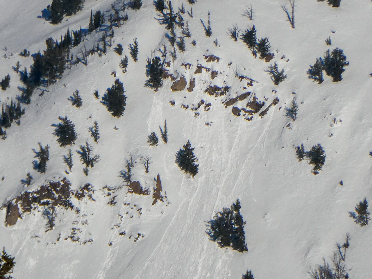
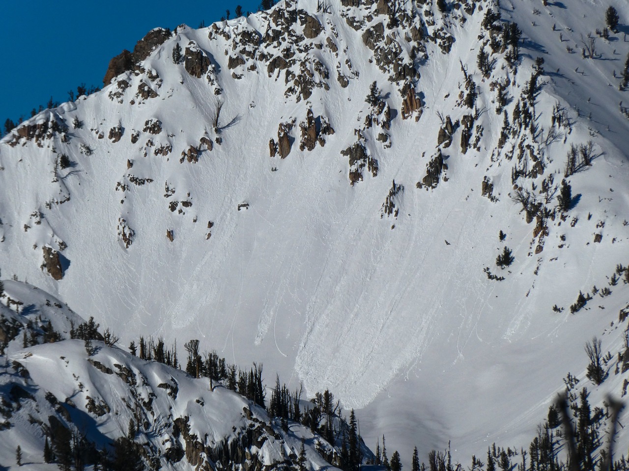
We observed some small surficial wet loose in very steep, rocky terrain facing S and SW. Some of this occurred yesterday. And we witnessed some today (see photos.)