
Quick report
No obvious signs of instability noted during our day.
Weather
- Cloud Cover
- overcast
- Wind Loading
- moderate
- Rain Elevation
- 4000
- Recent Snowfall
- 20-25
- Snow Avail For Transport
- moderate amounts
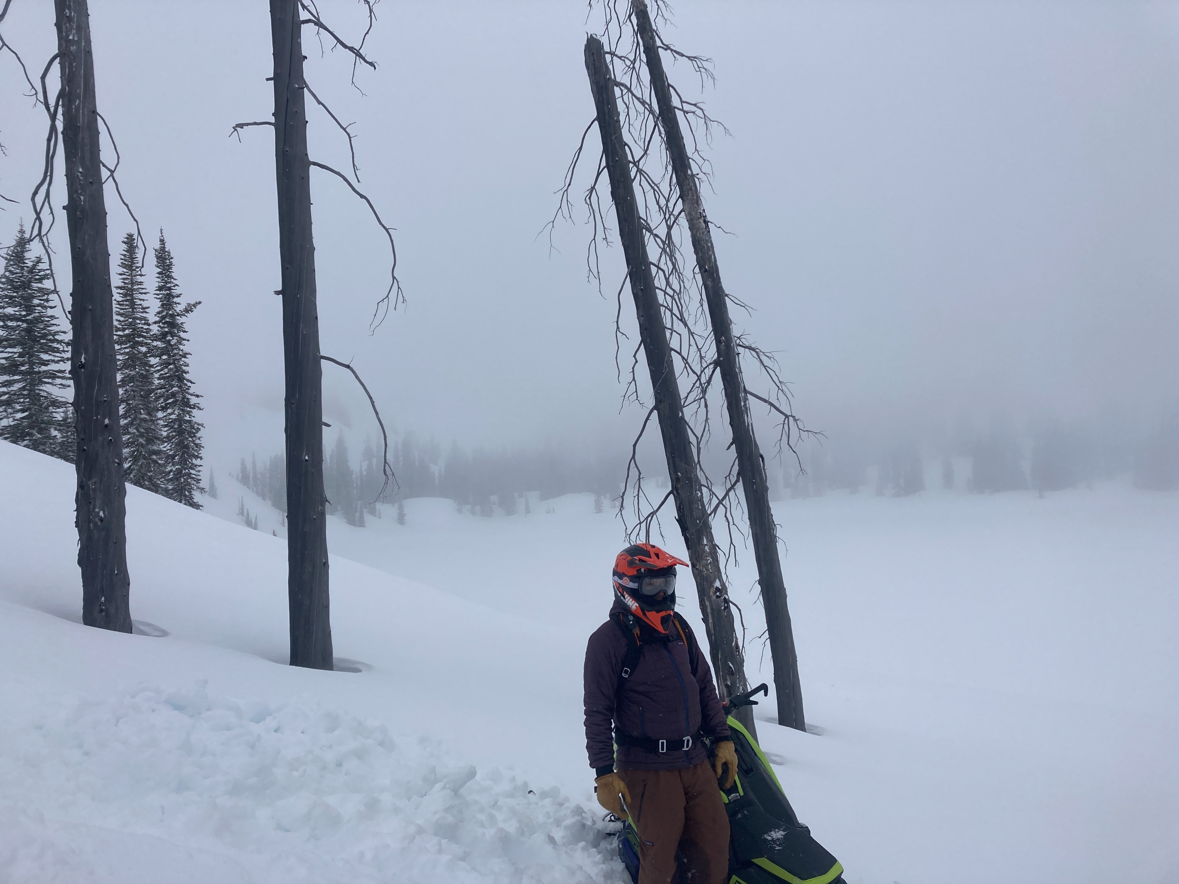
Precip was hot and heavy early this morning. A warm front laid down 6-10" new storm snow early morning. Snow showers were intermittent from 0900-1300, some showers were moderate (S1-2), but short-lived. Winds were blowing all over the place (we never got above 7500'). A cold front moved through around 1400 and snowfall rates were heavy (S2-3). Temps were steady (maybe dropping just slightly) mid to upper 20s.
Snowpack
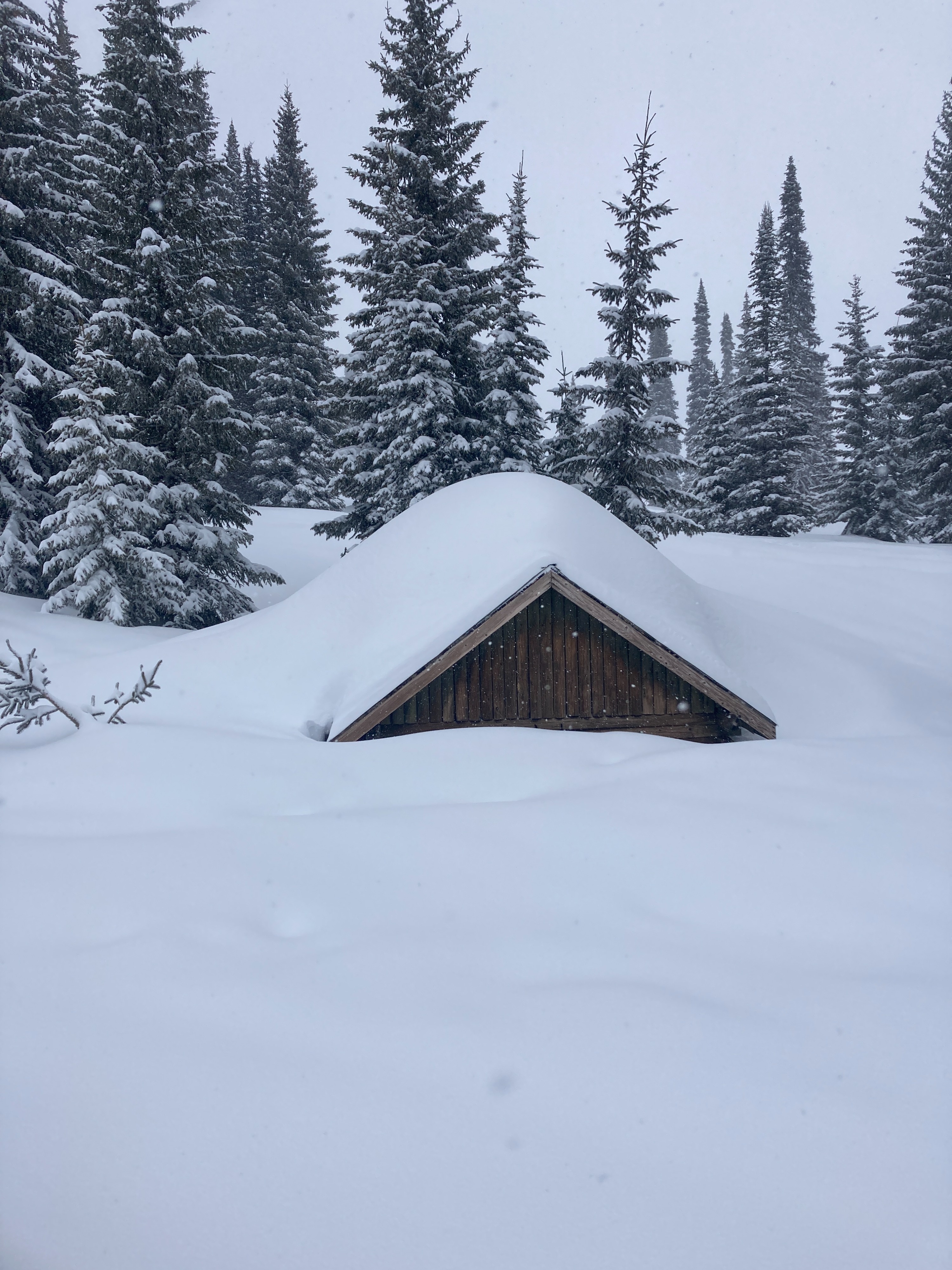
20-25 cm (8-10") new storm snow (0.8"SWE). Right-side up, with wetter, heavier snow at the bottom and softer, lighter at the surface. Density from area SNOTEL sites was around 10%. Above 7000', the 03/28 MF crust is locking up nicely and is knife-hard (several inches thick). Even upper elevations are still holding softer, moist snow beneath hard crusts. That's a testament to just how warm and wet the snowpack became last week. Primary concerns are from the 03/28 MF crust and up (upper 12"). Widespread dust layer observed just above 03/28 crust. Snowfall from 03/28-29 is bonded well to the crust. A layer of small, near-surface facets that was buried with this recent storm (around midnight 03/30) could be a layer of concern as this new snow continues to stack up. New snow was soft and lacking any indications of a storm slab in areas we traveled today. Small, soft wind slabs were beginning to form in leeward terrain features.
The snowpack below 7000' is interesting to say the least. Recent storm snow is slightly wetter and heavier and is bonding well to recent crust/interfaces. 03/28 crust is still soft and moist. Snowpack is still very soft and wet for several feet beneath crusts. This lower elevation snowpack could take a while to freeze solid.