
Quick report
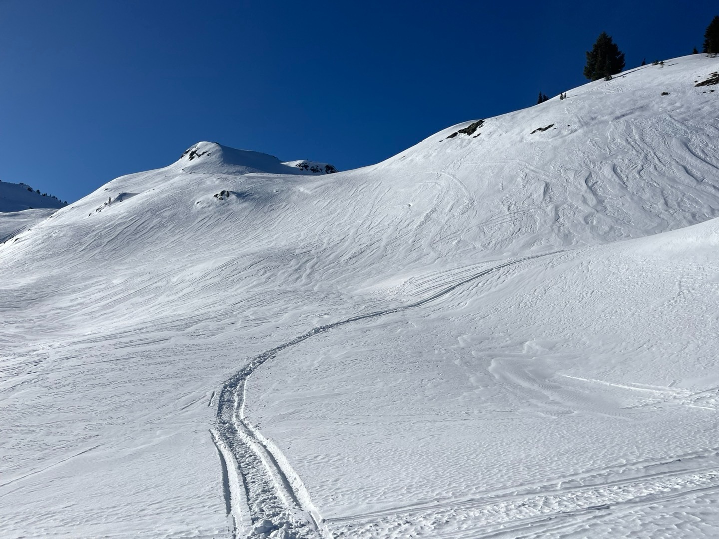
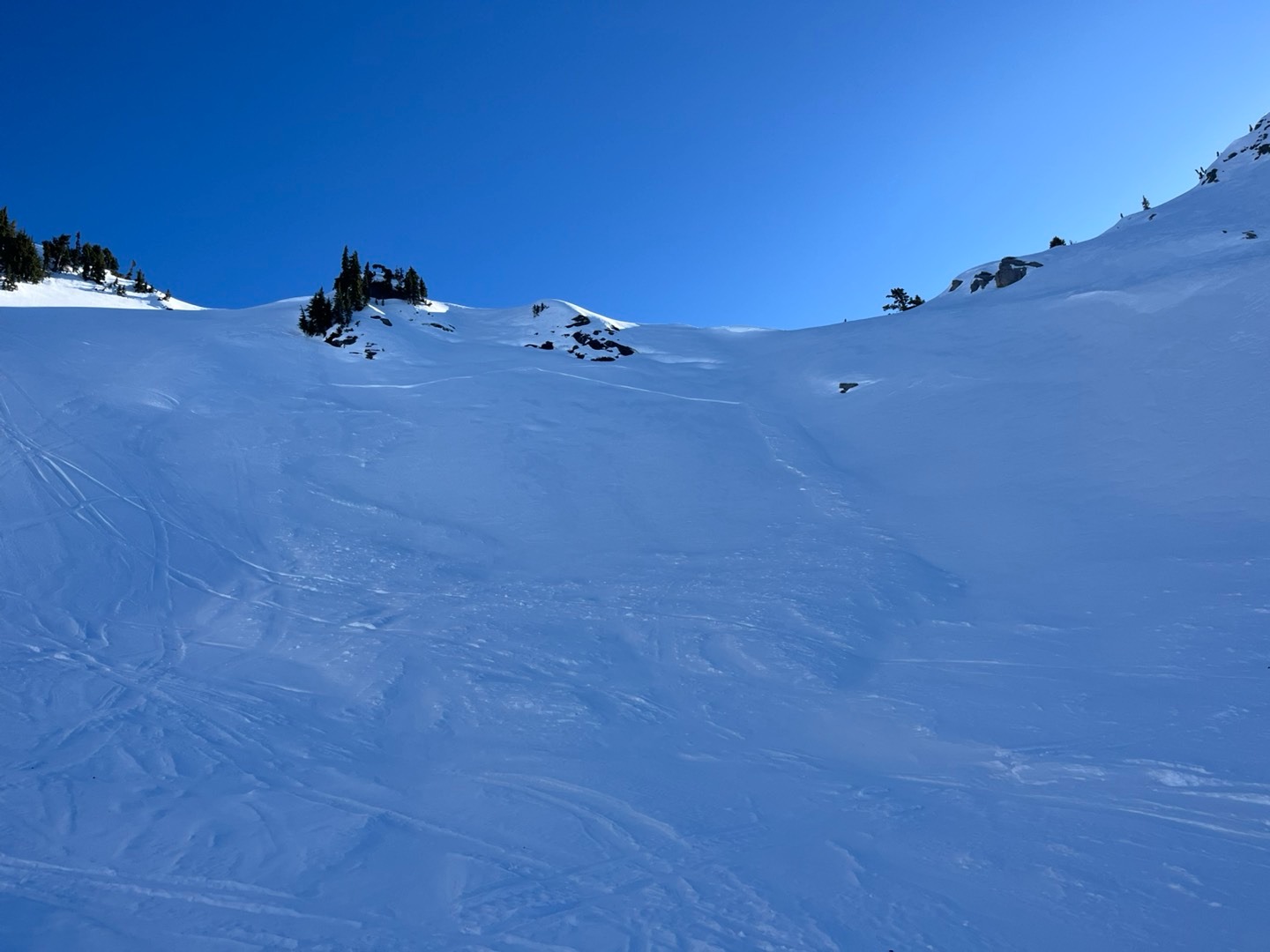
My goal for the day was to investigate snow surface conditions before the incoming storm- and to appreciate the last bit of blue skies for a while. I found a large variety of surface conditions, with a patchwork of weak layers and firm surfaces at all elevations.
Weather
- Cloud Cover
- clear
- Wind Loading
- previous
- Snow Avail For Transport
- none
Cold down low and warm up high. Calm in the morning and an abrupt increase to moderate afternoon winds.
Snowpack
Snowline started at about 2500ft.
At 4500 feet we observed surface hoar that was several centimeters long in shady, wind-sheltered meadows, with faceted (weak) underlying snow. Snow heights were 3-4ft.
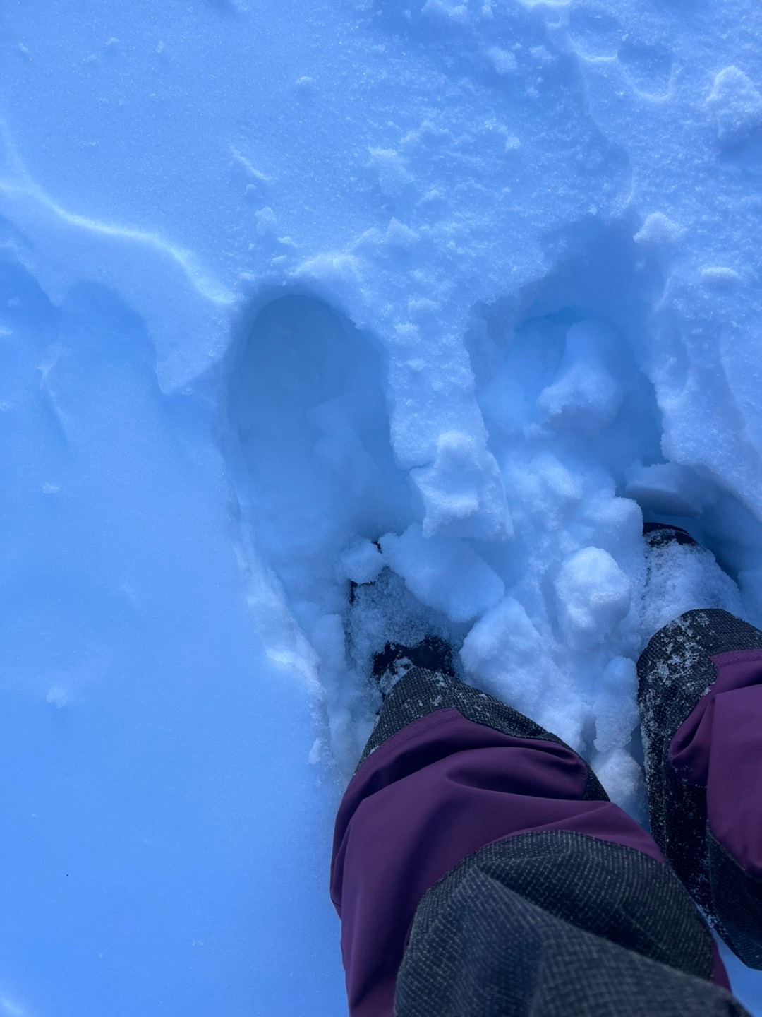
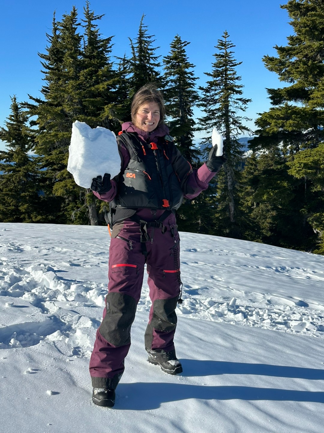
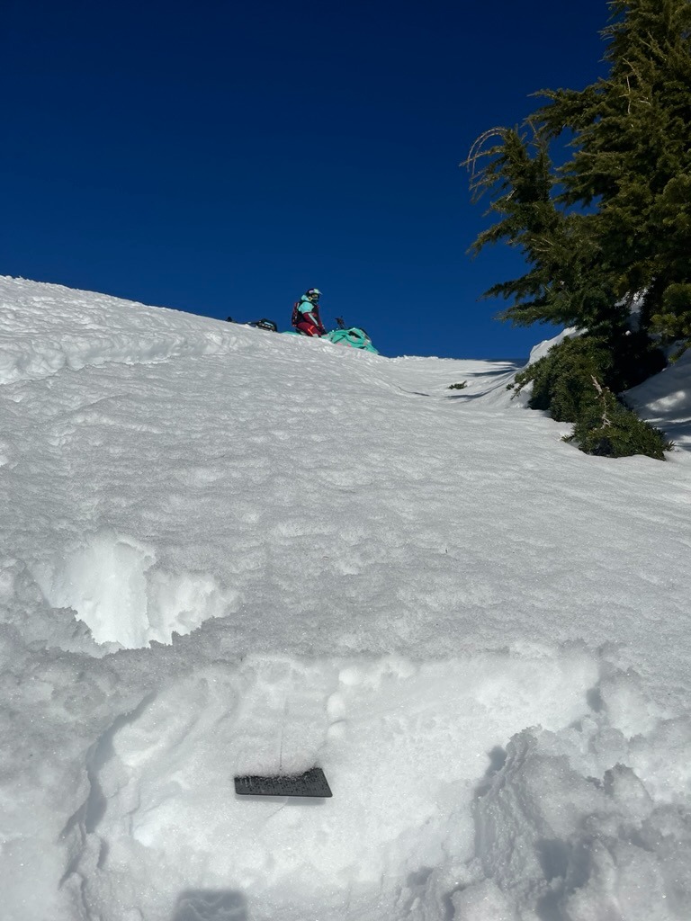
Above about 5300ft most snow surfaces became noticeably wind-affected. Some drifts were thick and firm, others were still very soft, low density snow that was faceted. Most surfaces were textured. We didn't notice any surface hoar. We still identified occasional non wind-affected light, dry, and faceted snow patches at higher elevations. From 5500-6000ft snow heights ranged from 4ft to 6+ft.
In both pits I dug, results yielded moderate compression test failures, resistant planar, either below or above the 1/10 crust in facets, 12-18cm deep. There was no propagation in extended column tests in both pits.
Steep slopes facing the sun were moist in the top few inches from midday. None of the moist snow slid downhill naturally or with initiation.