

Quick report
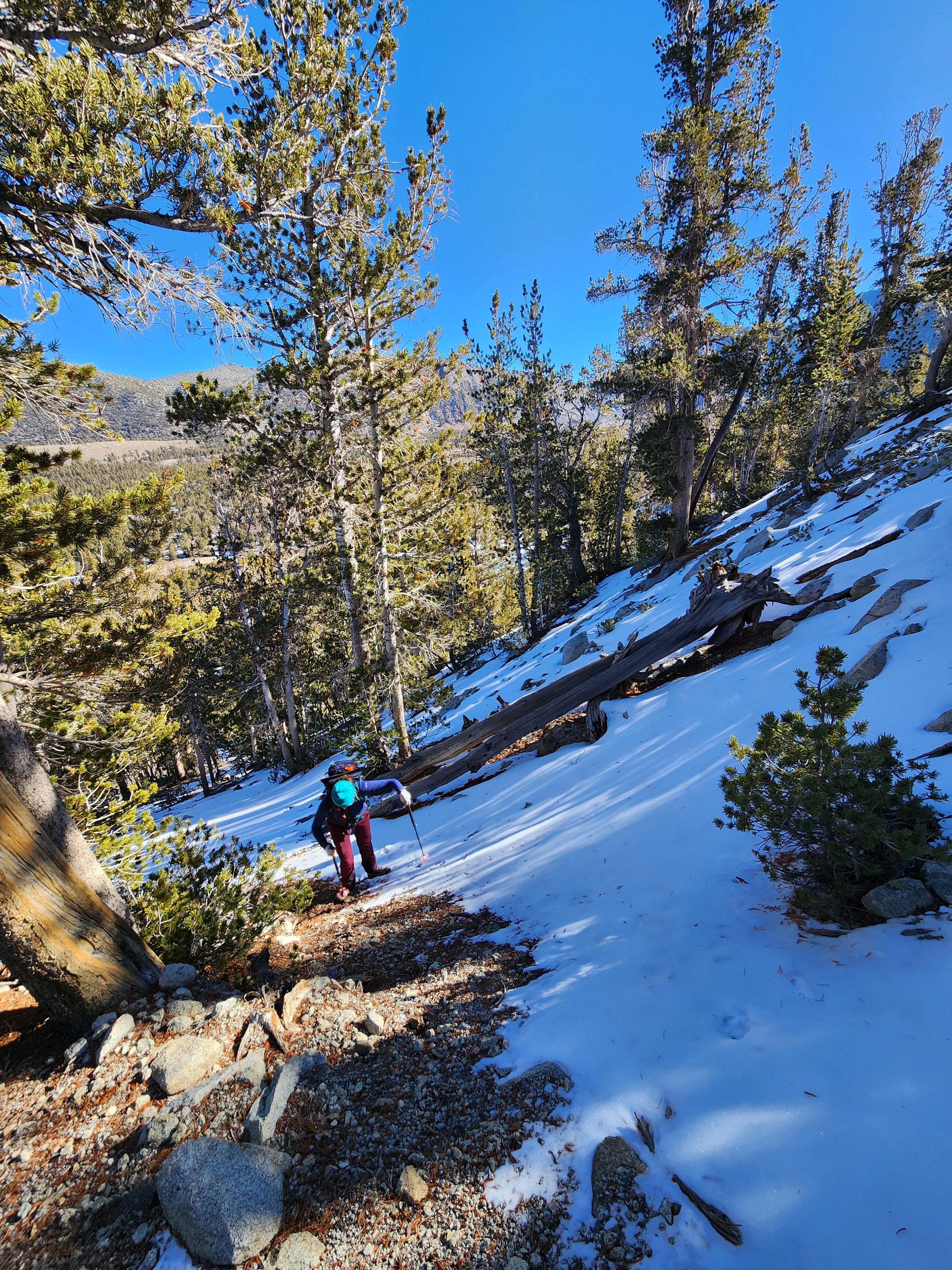
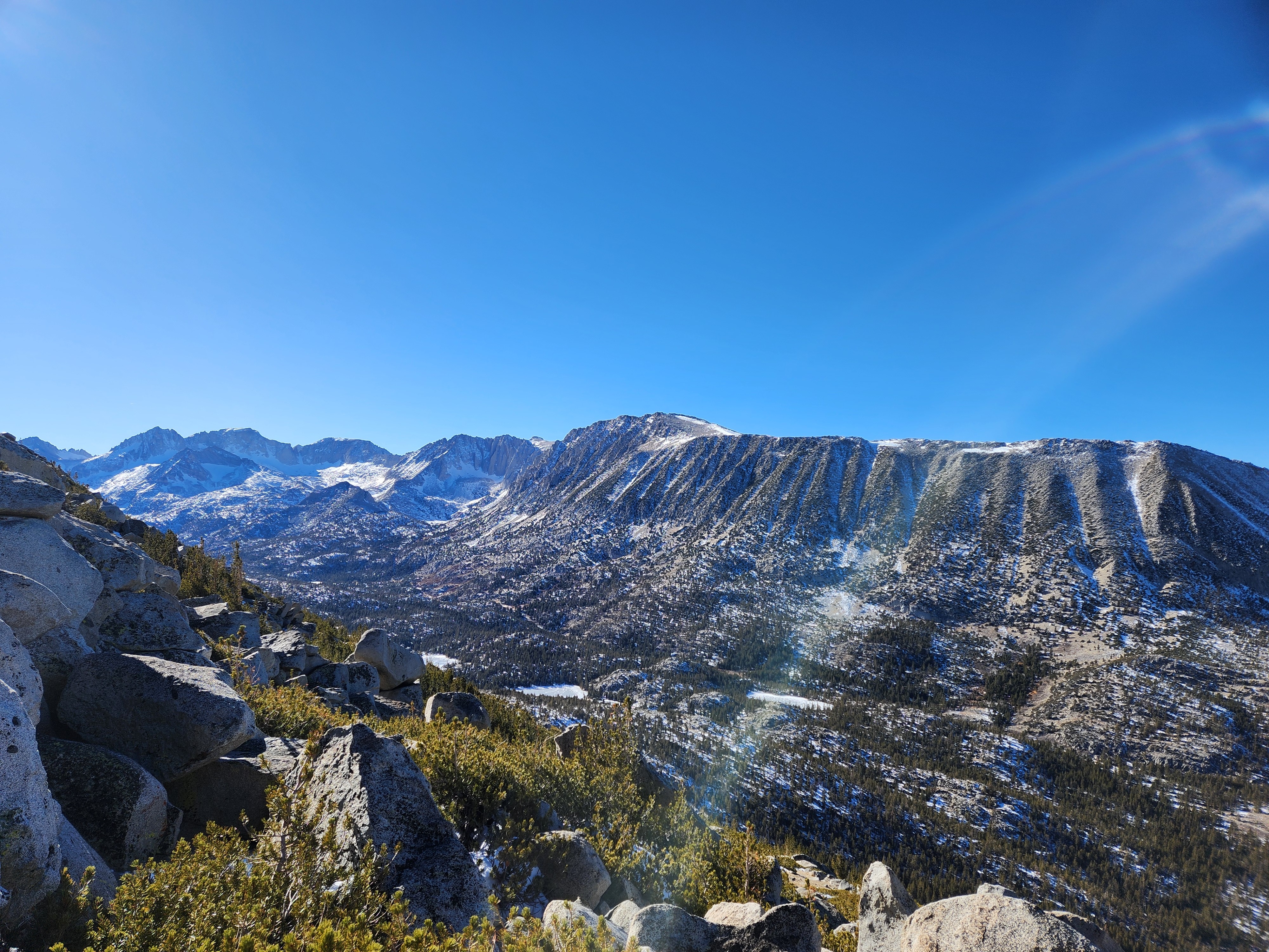
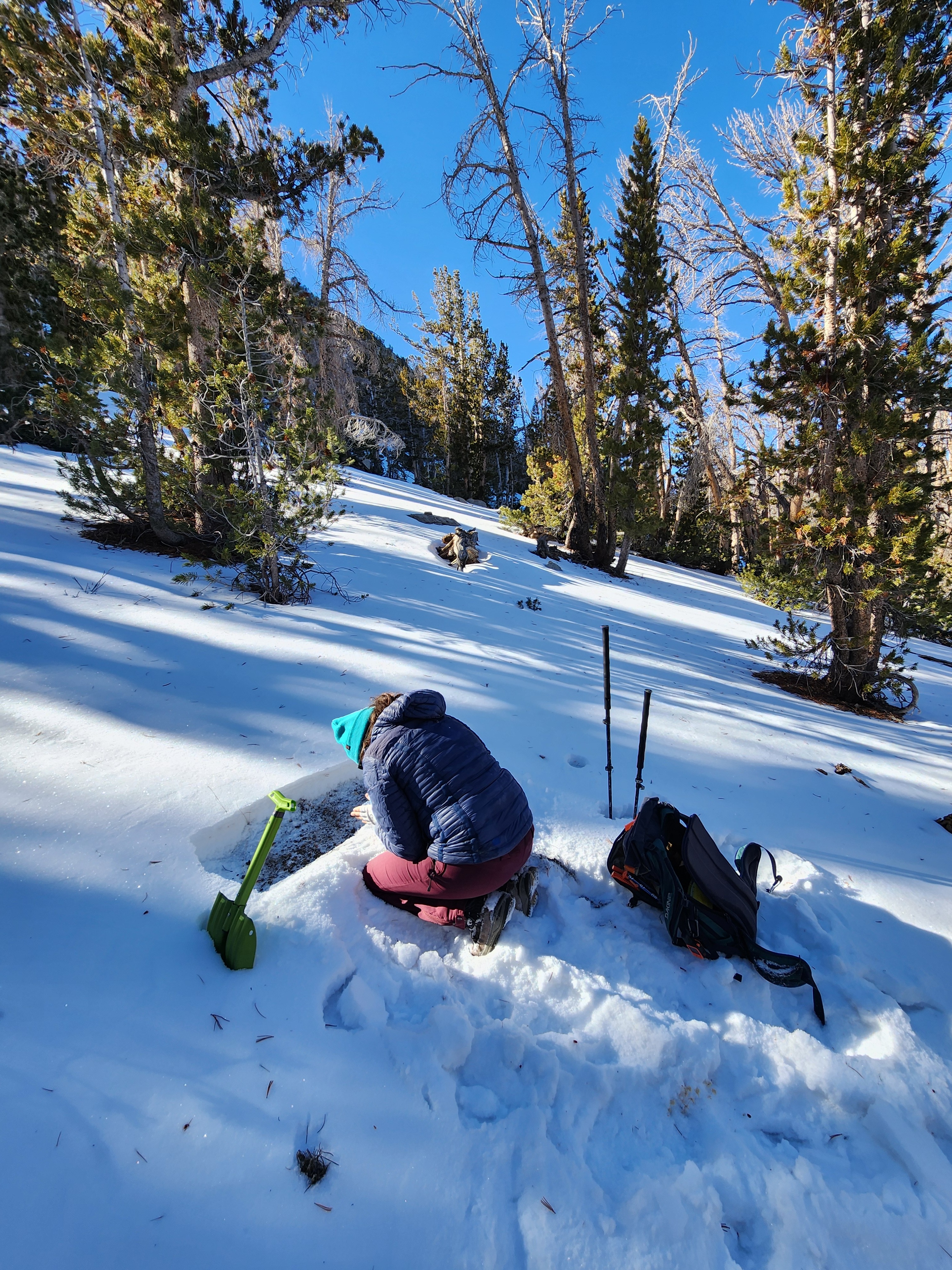
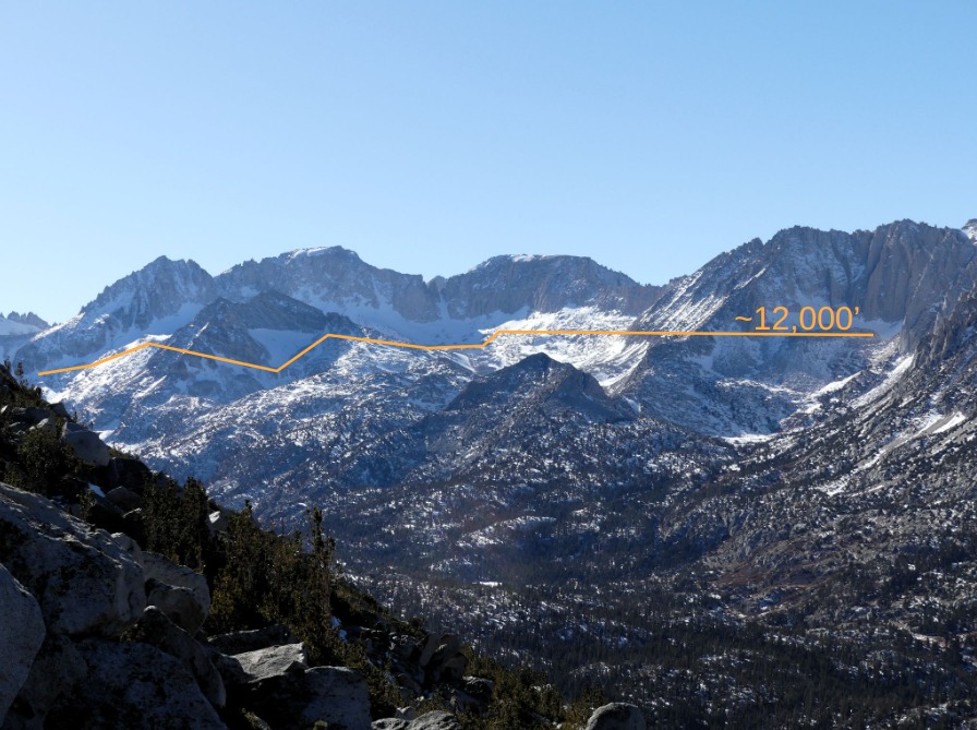
We set out today to verify snow depth and hopefully use our skis in the upper Rock Creek region. Alas, we ended up exploring N facing terrain by foot, experiencing shallow (0 - 24 cm) and inconsistent snow coverage. We did get good visuals and now have a good understanding of where snow currently resides in this region of our forecast zone.
The most consistent snow coverage exists above 12,000' , right below the crest, in N facing terrain as well as in isolated N facing chutes, where latent snow lingers from last season. Many slopes appear to be wind affected in some capacity. We did not venture into this terrain today.
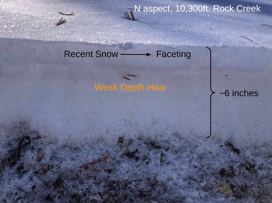
Shallow, but somewhat consistent, snow coverage exists NTL in sheltered N facing terrain. Decomposing precipitation particles and facets sit on top of depth hoar (2-4mm).
When we get new snow, instability may exist where latent snow from last season lingers, like high elevations start zones. Areas with a shallow, faceted snowpack may also become a concern. If you take advantage of the clear skies and calm weather to go take some pics, the ESAC team would love it if you shared them with us!Weather
- Air Temp
- 32
- Cloud Cover
- clear
- Recent Snowfall
- 0
The morning was crisp, with cold dry air, clear skies, calm winds, and plenty of sunshine. Temperatures warmed to above freezing in the warmest hours of the afternoon, and began to drop quickly after the sun set behind the peaks in the late afternoon. Skies remained clear and winds remained calm.