
Quick report
- Cracking
- isolated
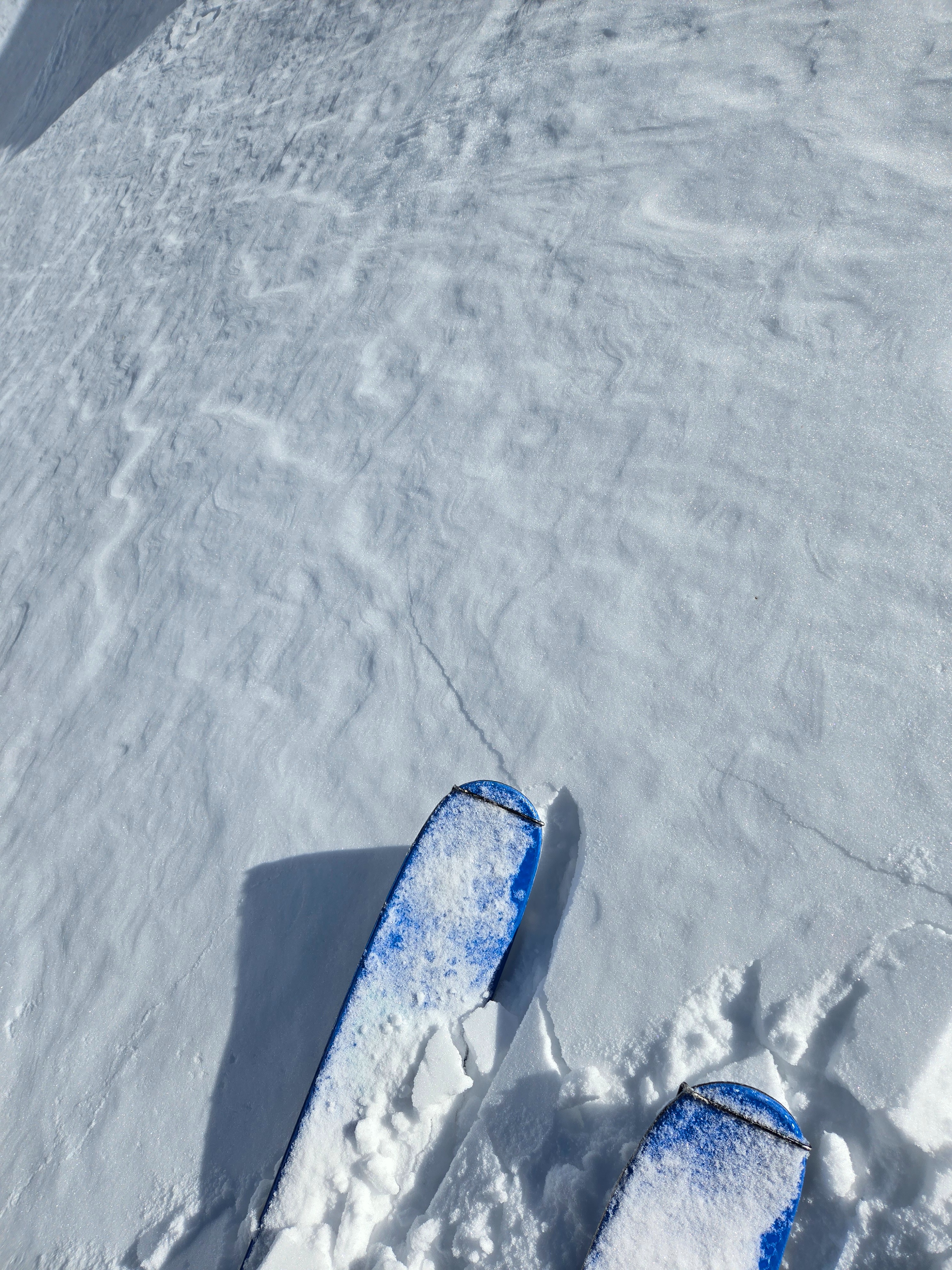
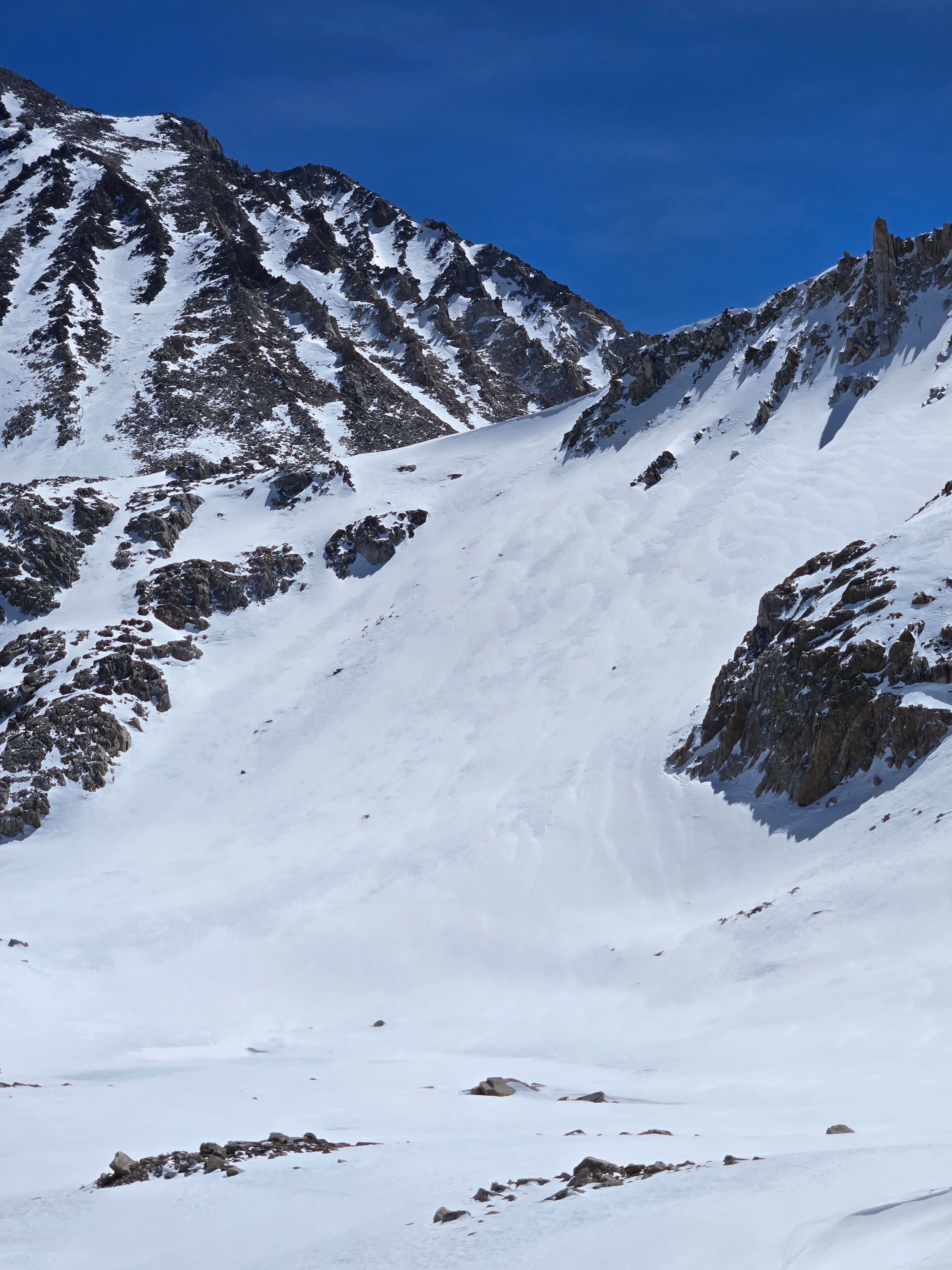
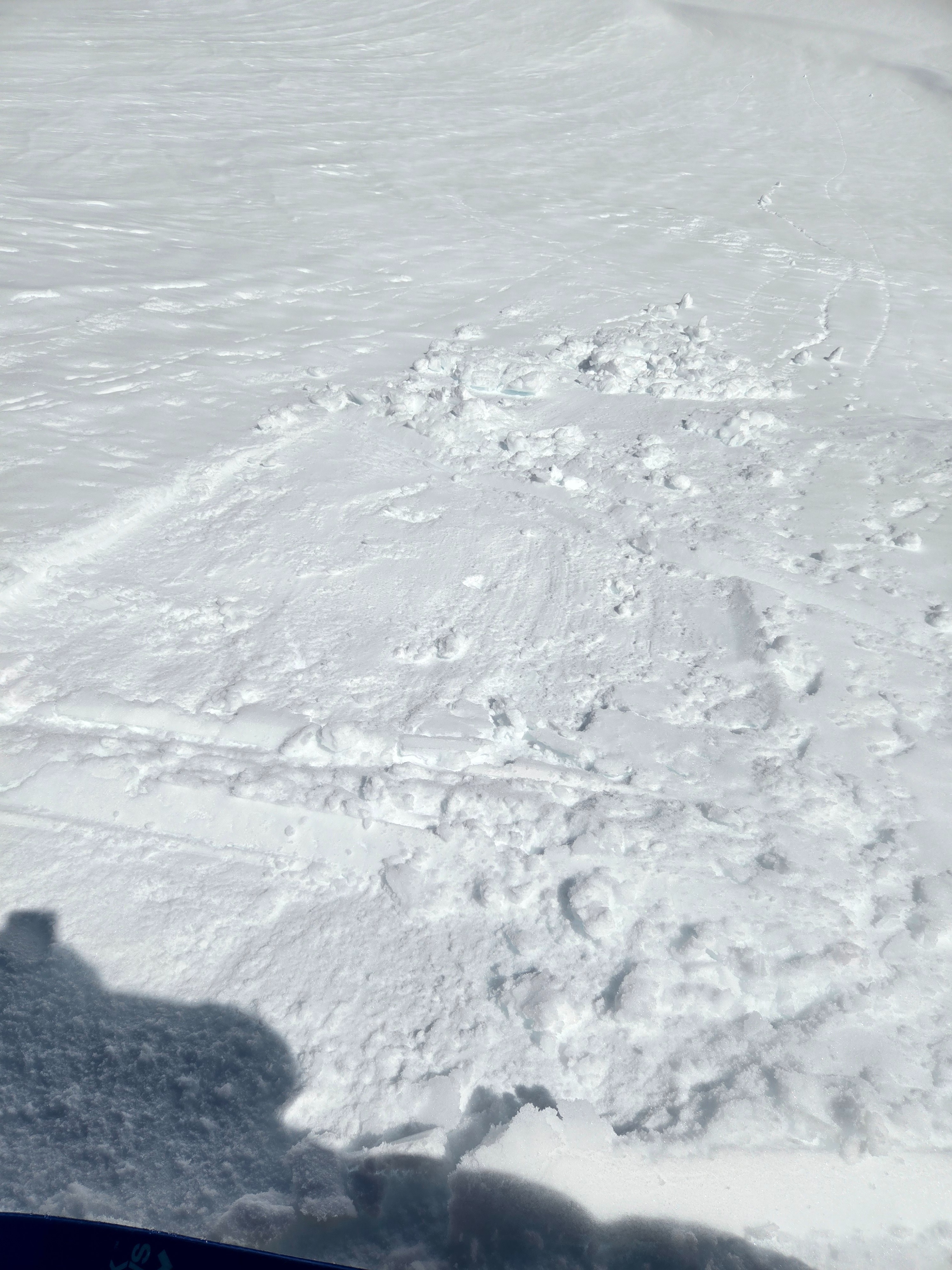
Above 10,500 ft on northwest-north-northeast aspcets I got localized cracking underfoot in thin wind slabs that were sitting atop small (1mm) near-surface facets. I was also able to get some of the recent snow to slide downhill on an east-facing test slope at 11,300 ft as it transitioned from dry to wet at noon.
Weather
- Air Temp
- 40s and 50s
- Cloud Cover
- few
- Wind Loading
- none
- Rain Elevation
- NA
- Recent Snowfall
- T-15
- Snow Avail For Transport
- small smounts
Slight increase in cloud cover and northeast breezes throughout the day. Temps rose quickly, reaching over 40°F above 11,000 ft by noon.
Snowpack
Snow totals from the last storm range from Trace amounts to 6+ inches in this area. There's no recent snow below 10,500 ft. Above that, it's been mostly scattered across the terrain by the strong winds that accompanied the storm. It's also collected, both loose and into wind slabs, in favored catchment areas (like below ridges, in chutes) on slopes that face the north half of the compass rose. On other aspects, the recent snow has been stripped away, and the surfaces are all rough melt-freeze crusts in the morning, softening to corn in the afternoon.
The wind slabs I found were thin (up to 6 inches thick) and ranged from hard (1F) to soft (4F). Where I got cracking in wind slabs, they were breaking on a thin layer of 1 mm near-surface facets above a hard crust. The soft snow from early in the last storm has faceted under the slabs with the cold nights and huge temperature swings in the past few days. This could keep these small, isolated slabs sensitive for longer than you'd expect.
I found the recent snow transitioning to wet on east aspects up to 11,400 ft at noon. I found it transitioning to moist on north and northeast aspects below 11,000 ft by 1 pm. All aspects I saw softened to moist or wet today, except the northwest. That's probably because I left before that aspect saw direct sun.
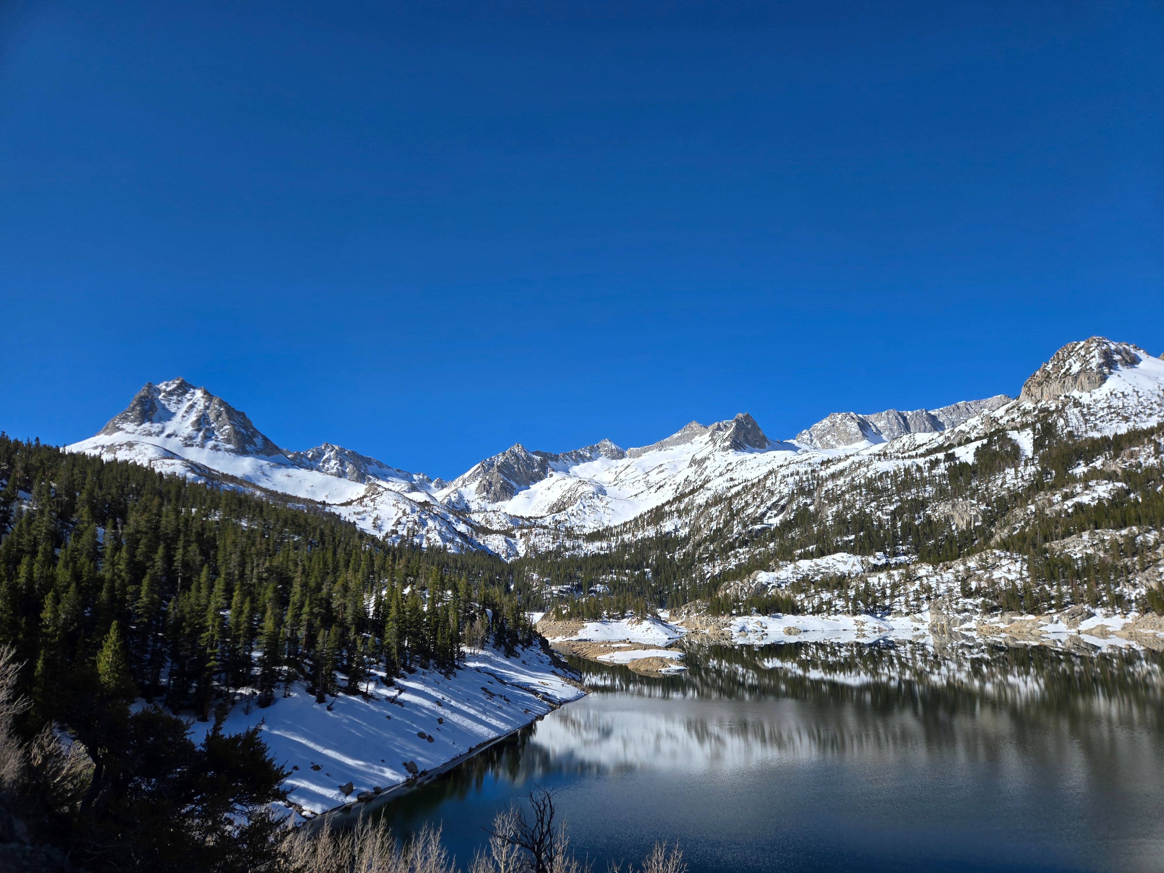
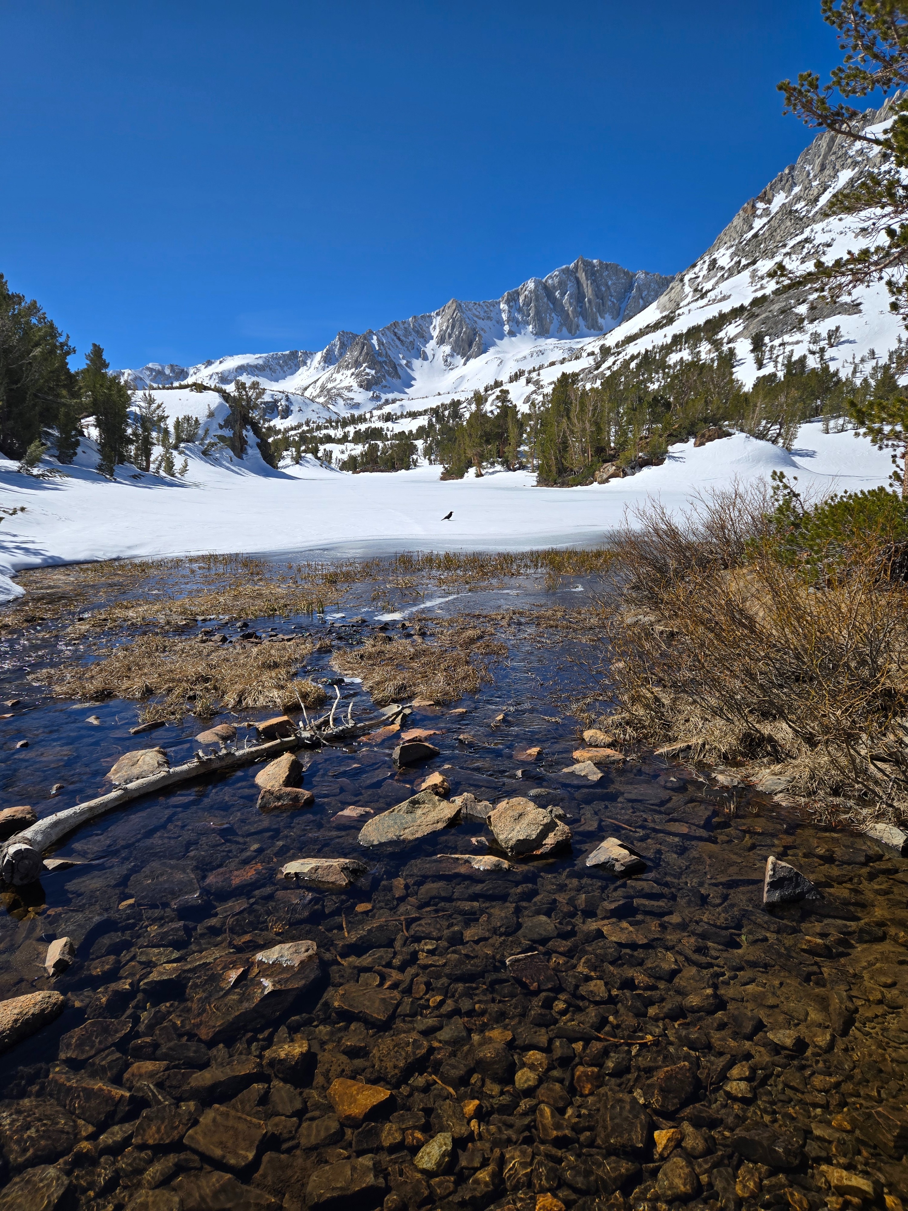
Coverage in the south fork of Bishop Creek is excellent above about 10,200 ft. You can mostly avoid having to remove your skis, and open water hazards and thawing lakes were manageable. There's minimal coverage on southwest, south, and southeast aspects at all elevations.
Avalanche
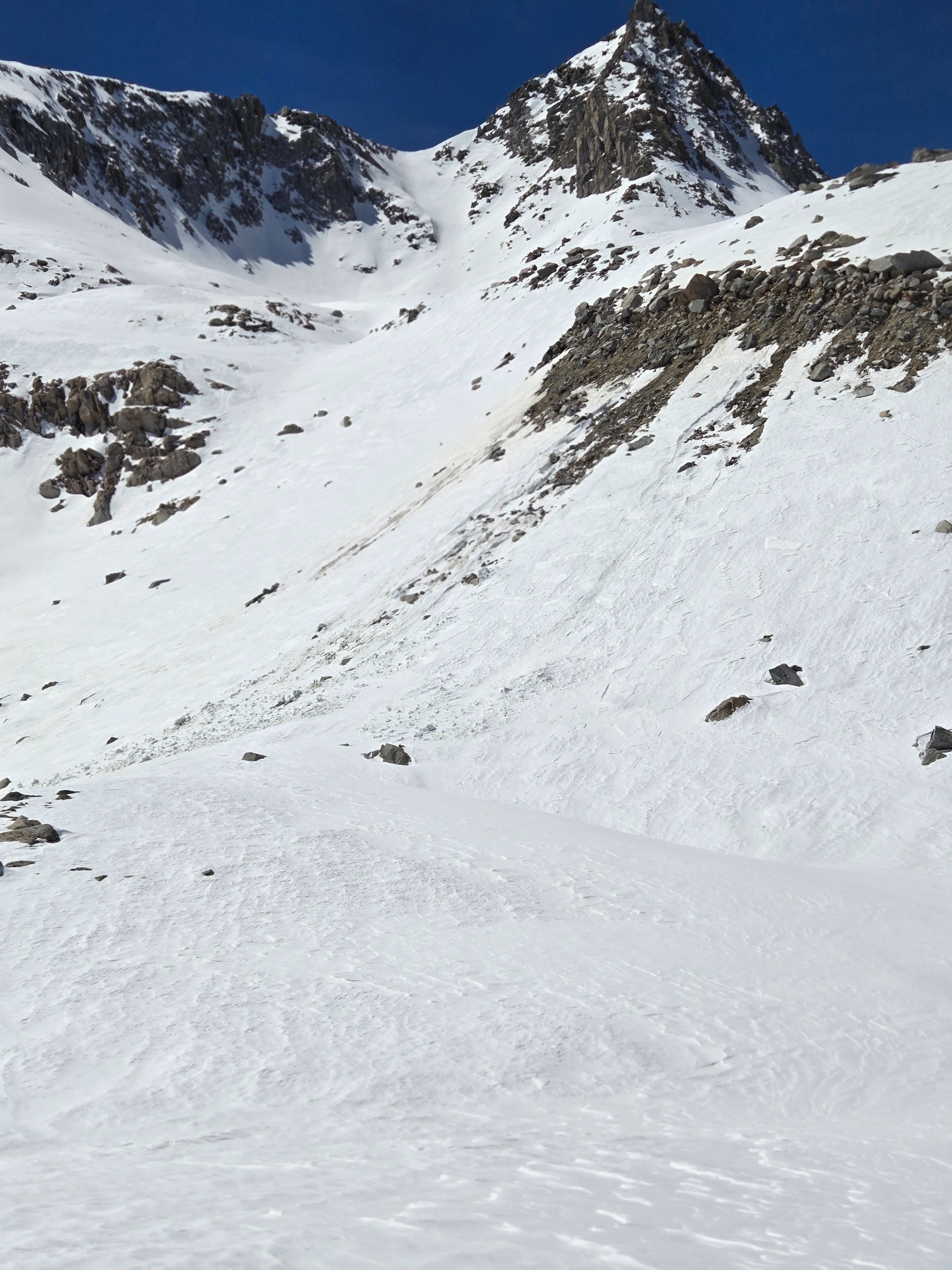
I found an old natural wet loose avalanche that ran sometime last week. I saw no recent wind slab avalanches, nor any new wet loose today before I left the canyon at 2 pm.