
Quick report
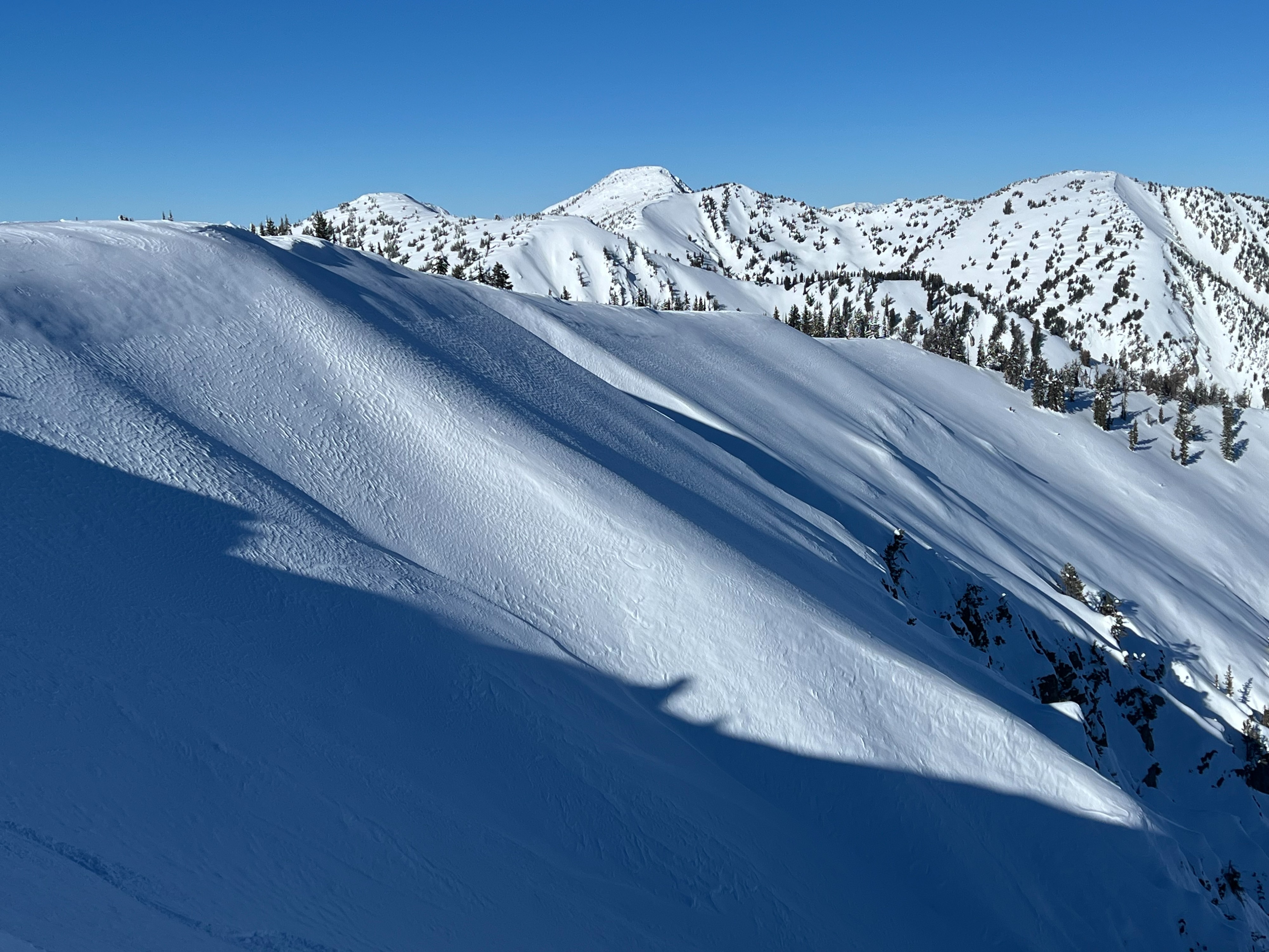
Variable snow conditions out there, especially the higher you travel in elevation. Generally stable conditions. No reactive wind slabs. Recent snow that fell on Friday ranges from 4-6" in middle-upper elevations. Closer to 8" on specific wind loaded terrain. This snow sits on an array of weak surfaces including very hard wind board on exposed terrain, crusts on southerlies, and a mixture of near surface facets on sheltered terrain. Dry loose avalanches were running on steep slopes on shaded terrain. Multiple weak interfaces encompass the top portion of the snowpack, but there is a lack of a firm slab to create a significant avalanche concern. The weather has created a riddle where it is difficult to predict the distribution of weak interfaces, mainly due to strong northerly winds. The current snow surface is already faceting as well from cold, dry conditions. Avalanche concerns will increase when it starts snowing, enjoy the stability.
Snowpack
Overall snowpack depth from 7800-9800' ranged from 120-230cm. The Dec drought layer was buried over 100cm in all the locations we probed. Dug two snowpits roughly 2,000' apart on the same aspect. Both snowpits showed similar charactersitics top to bottom.
9700' NE aspect HS: 145cm ECTX Dec drought layer buried 110cm moist 1-2mm facets
7900' NE aspect HS: 130cm ECTX Dec drought layer buried 106cm moist 1-2mm facets