
Quick report
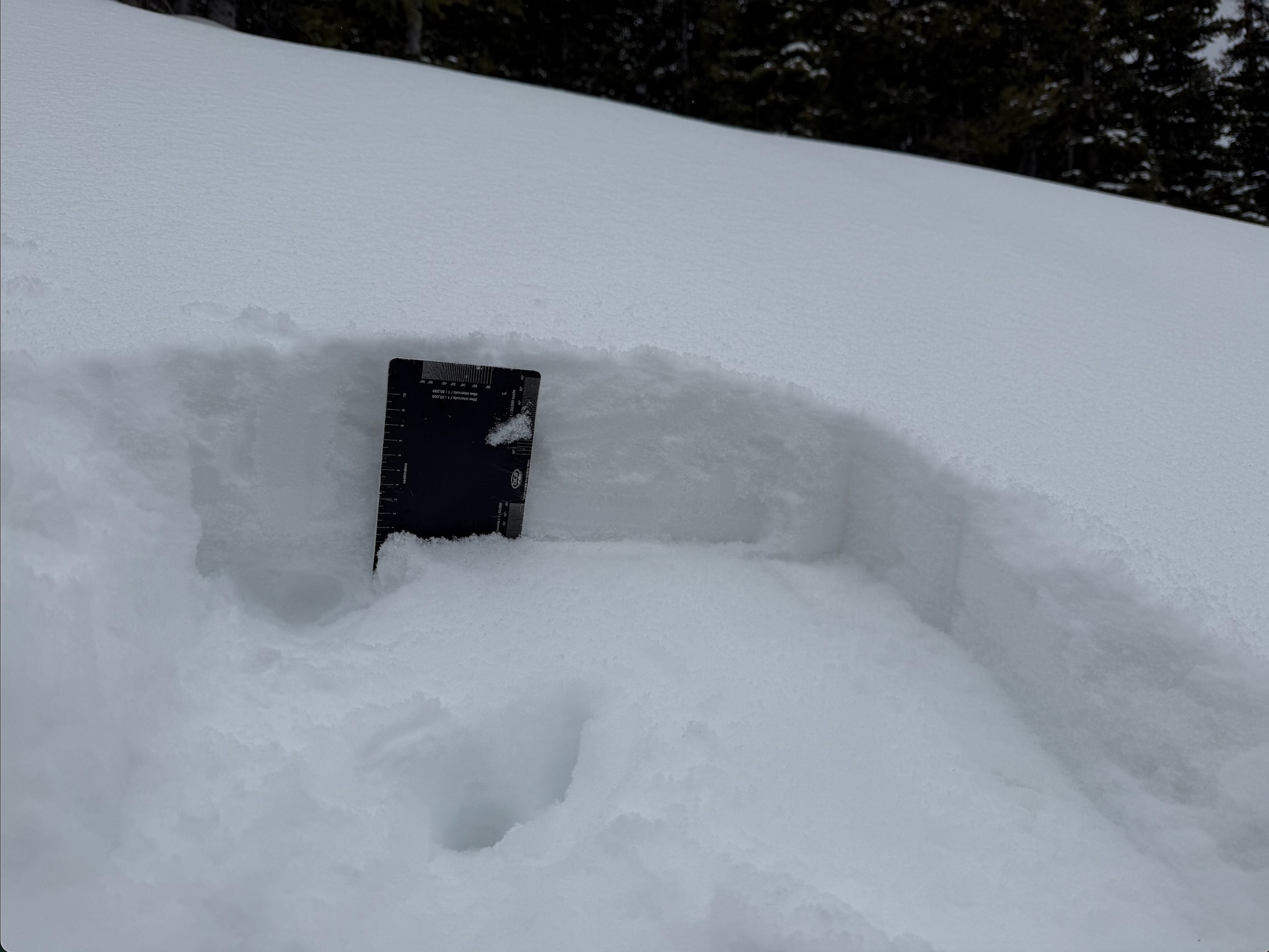
I was pleasantly surprised by the surfy pow conditions on east and north aspects above 10,000 feet. The incoming storm will typically accumulate on dry snow surfaces in this area. Snowpack structures up to 11,300 feet suggests avalanche problems on Tuesday will only involve new storm snow. Crusts seem to be thick enough and/or have little faceting below to prevent collapsing during the loading event. I did not tour above treeline where last week's warmth had less impact on shady slopes, so I couldn't rule out an avalanche breaking deeper in the snowpack on a well drifted, shady alpine slope.
Weather
- Cloud Cover
- overcast
- Wind Loading
- light
- Recent Snowfall
- 16
- Snow Avail For Transport
- small smounts
About 6 dense inches since Friday 3/29.
Snowpack
I toured mainly on northerly aspects with a brief look at south along the ridge top. Above about 10,000 feet in this area, 3 to 6 inches of dry snow are resting above last week's meltdown crust, even on southerly slopes. I suspect some southerly slopes were cooked in other places depending on cloud cover over the past few days. Crusts are generally frozen underneath the new snow, but I did find a few moist, soft crusts below treeline on east. I traveled up to 11,400 feet and found thin, soft crusts below the recent snow on due north slopes. I found no significant faceting at the crust interface or current snow surface. In the terrain I traveled, avalanche problems will likely involve just the incoming storm snow with a very low likelihood of avalanches stepping down or breaking deeper in the snowpack; however, well-drifted slopes at upper elevations could be a different story.