
Quick report
Snowpack depths steadily increase with elevation. Snowpack depths in the upper elevations are creating greater across slope continuity, earlier than typical for mid Dec. Mid and lower elevation alder is a good ways on getting buried so far. Overall snowpack observations show weak cohesionless sugary snow down 15 cm (6in) with increasing reactivity in tests where a harder cohesive slab is present above.
isolated and localized cracking underfoot between tracks in wind deposited spots.Weather
- Cloud Cover
- overcast
- Wind Loading
- light
- Recent Snowfall
- 10-20cm from 12/14
- Snow Avail For Transport
- moderate amounts
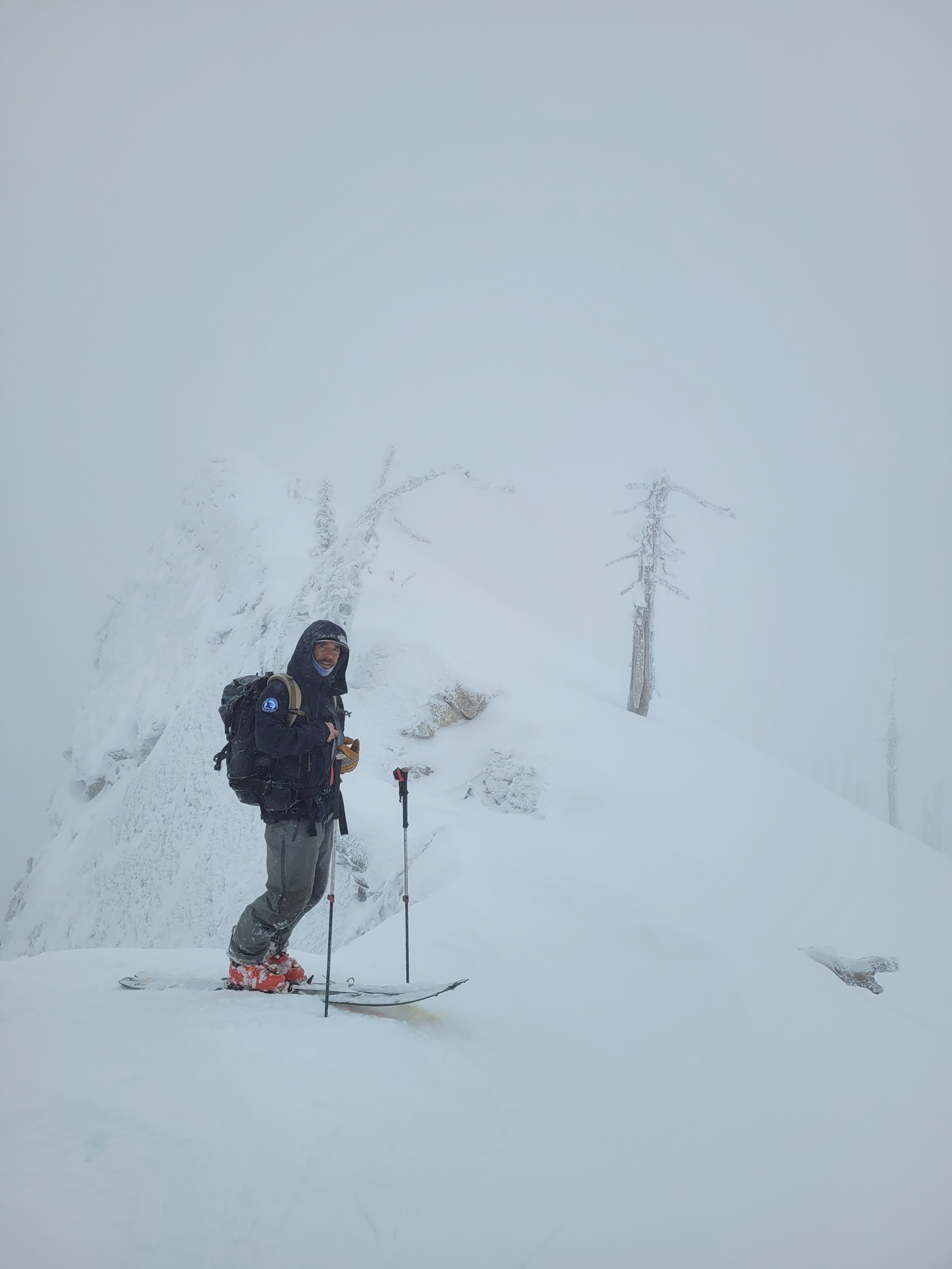
Light intermittent, S-1, snowfall increasing during the day. Gusty ridgetop west winds, light to calm winds once off ridgetop. Low visibility to nearby slopes.
Snowpack
On average, 15cm (6in) of recent snow on the surface. We found 20cm of wind packed 1F hard slab on the surface at 6100’ NE aspect. The recent snow and/or wind effect sits on top of small (0.5mm) faceted grains. These near surface faceted grains were formed a week ago and covered by last weekend's storm, Dec. 14-15th. This faceted 10-15 cm thick layer sits directly on the 12/7 rain crust, 2 cm thick in this location.
At 5200’ we observed a similar snowpack structure as above but with a thin, 0.5 cm thick or less, 1F rime crust down 15cm. Test results were CT8 PC Progressive Compression in the recent snow down 10 cm, and CT11 SC sudden collapse down 15cm at interface of thin rime crust and small facets. The 12/7 rain crust down about 30cm, and observed CT22 SC below the rain crust.
At 6100’ NE, snowpack height is 160 cm (~5 ft). We observed localized cracking in the snow surface underfoot and in 2 tests propagation results with moderate force on a hard over soft snowpack setup. ECTP 11 and 12, down 20cm at interface of 1F hard wind packed slab and 4F hard small facets. 12/7 rain crust is 35 cm deep here. Some inconsistencies exist in surface conditions and snow quality on the surface at the higher ridgeline elevations due to wind effect.