
Quick report
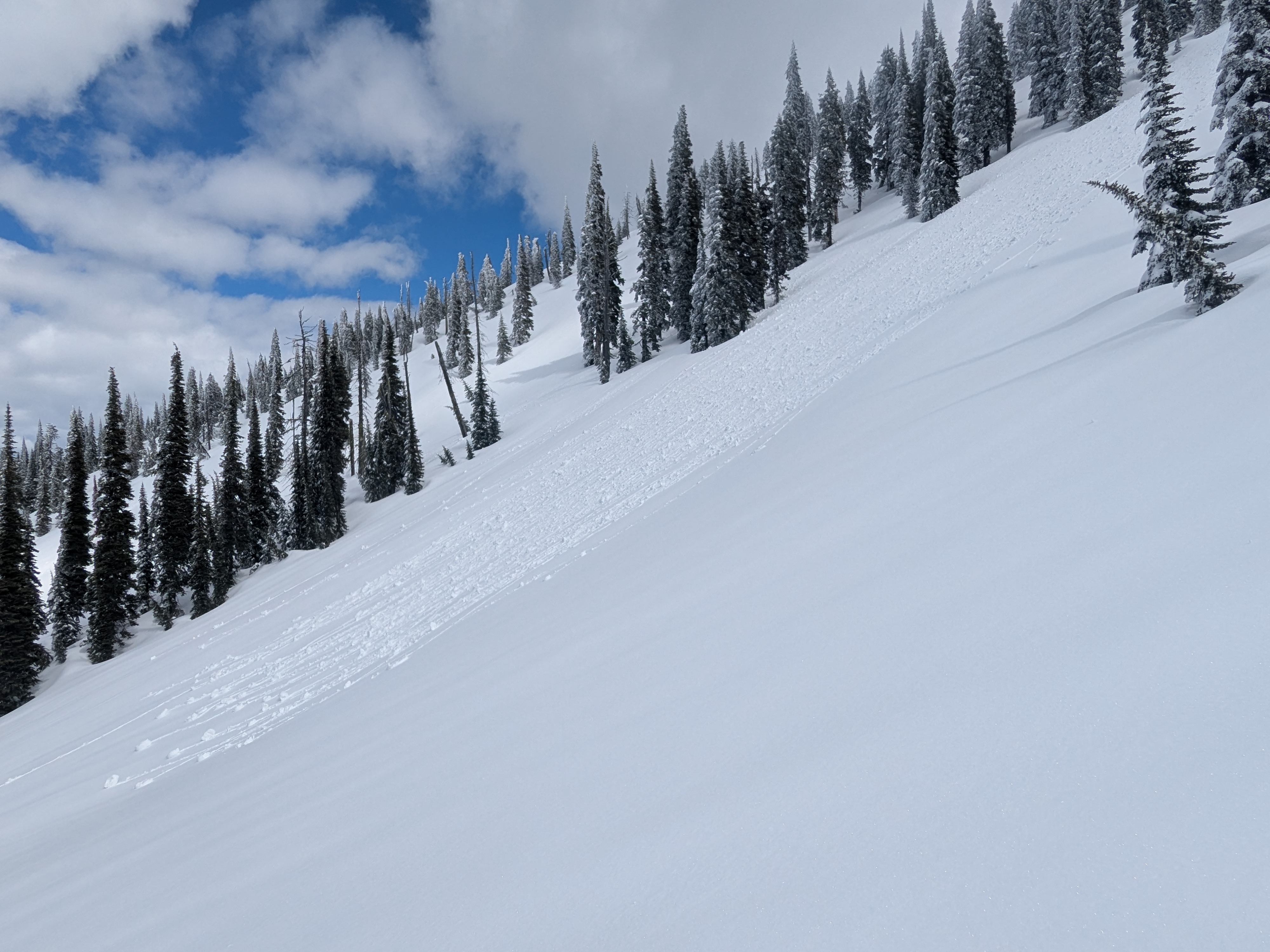
A solid overnight refreeze contributed to supportive conditions across elevation bands today. In general, only the top inch or two softened and got wet from today's warm-up, and upper elevations staved off today's warming the best. By the afternoon, the snow surface on southerly aspects felt the most trap door, but the crust below remained firm and intact. Main travel advice moving forward is to watch for how wet, soft, and punchy surfaces get from more sun and warming, and be wary of deeper drifted areas below ridges and in gullies at mid and upper elevations - we found easy to initiate sluffs and soft slabs in steeper terrain on northerly-facing slopes.
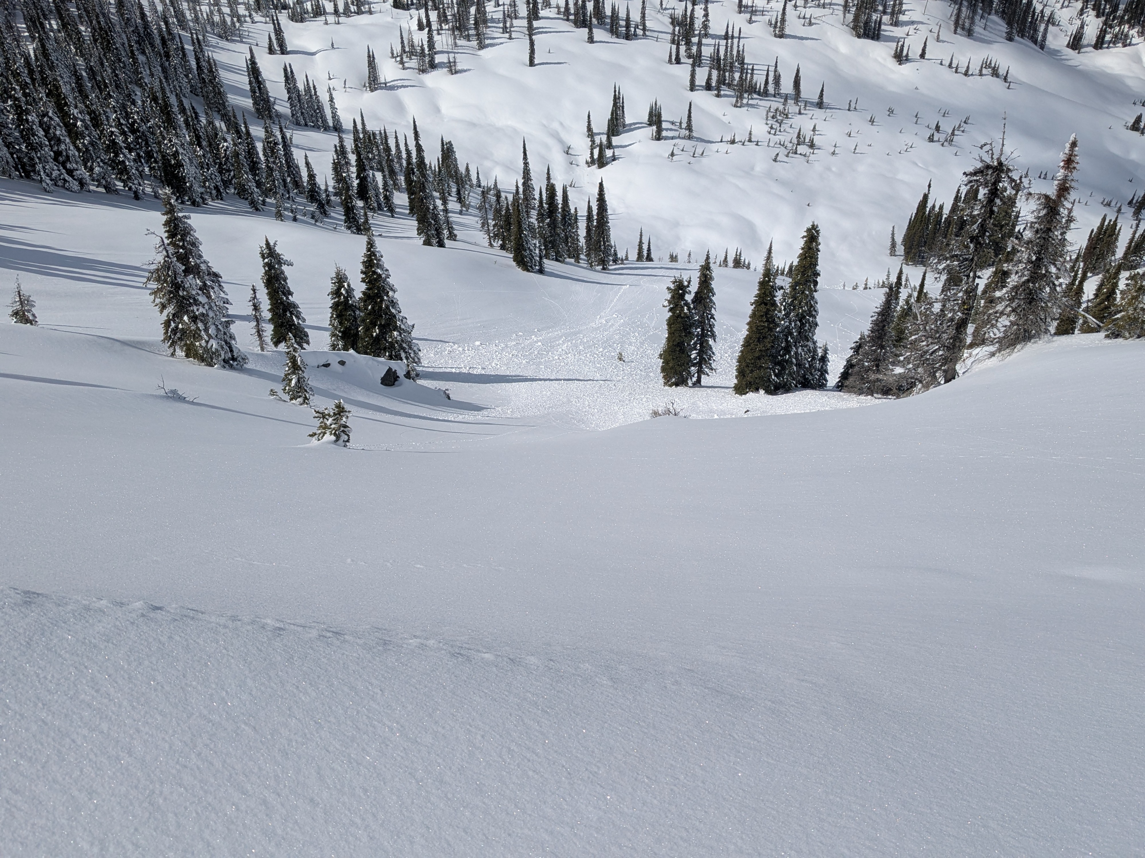
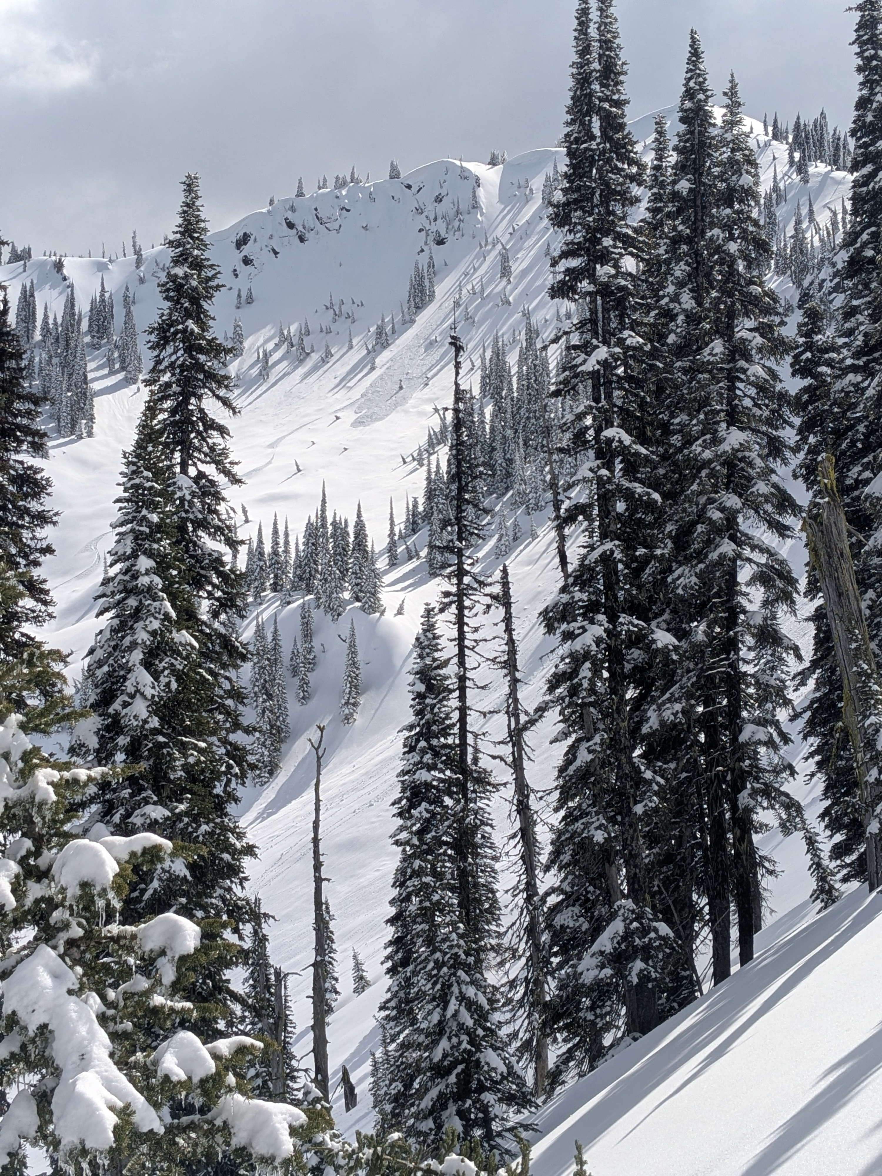
Old and new avalanche activity. Lots of larger debris piles likely from the March 24 rain event, and some ran close to 1,000 feet downhill.Weather
- Cloud Cover
- scattered
- Wind Loading
- light
- Snow Avail For Transport
- moderate amounts
Sunny skies to start with building cumulus clouds throughout the day. Light but steady winds across elevations. Toady's warm-up was slowed down by the combination of clouds and the breeze.
Snowpack
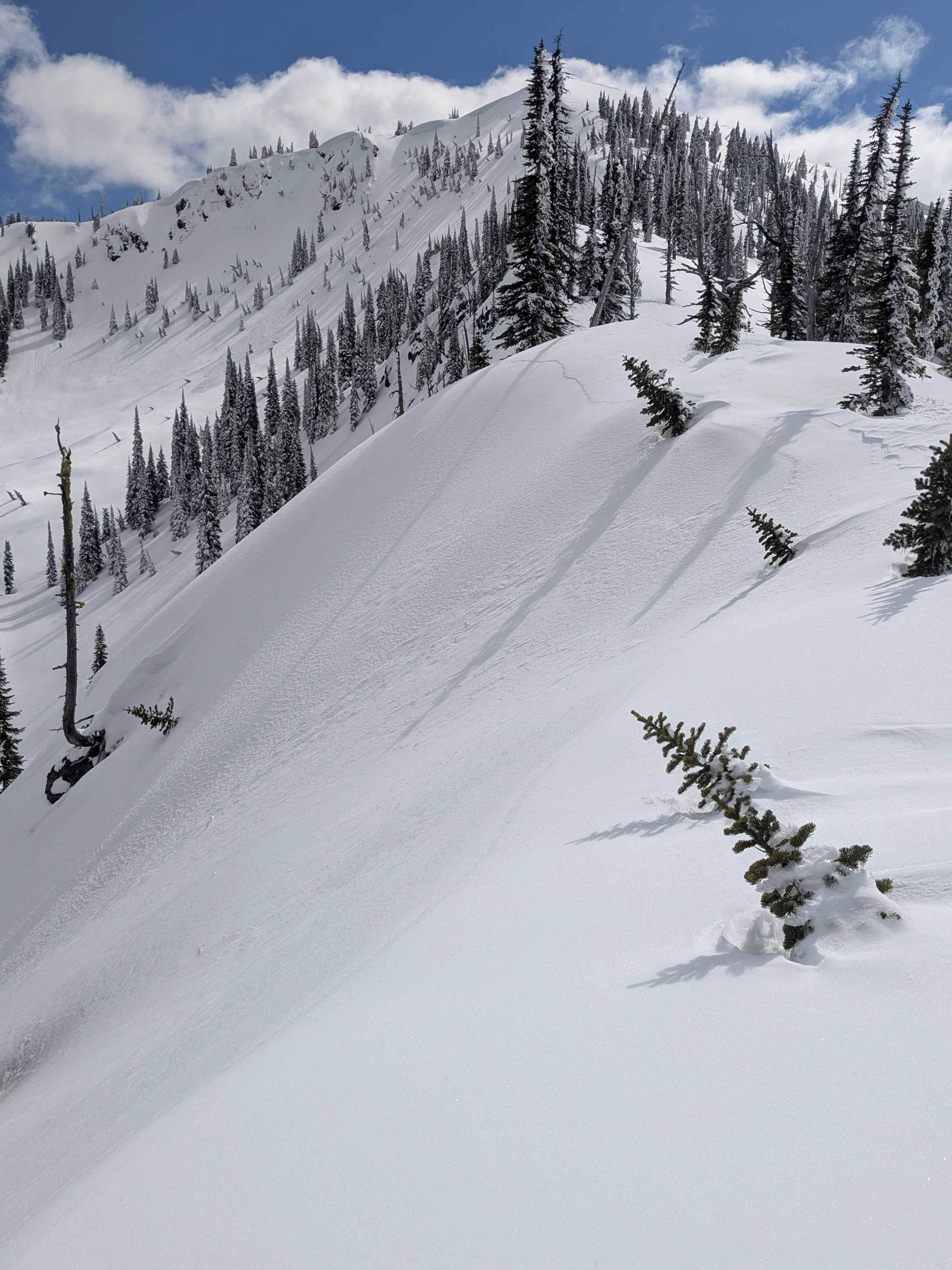
The 3/28 crust was supportive throughout the day acroos elevations above 4,000 feet - only minimal softening noted below the recent snowfall. Below that, the snowpack continues to get more rotten as you approach valley bottom elevations, but still supportive to machines along the road. We found plenty of weaker 4F wet/ rotten snow below this crust and is worth montioring for re-emerging wet slab potential if temperatures get HOT or we see more rain-on-snow. Since 3/28, new snow amounts increase dramatically with elevation: generally 3 to 4 inches around 4,000 feet > increased to 6 to 8 inches around 5,000 feet > then increased to 16+ inches around 6,000 feet and higher. Storm layering is mostly right-side-up and bonding well to the crust. The layers of instability we found sit around mid-storm depth. We easily triggered small Loose Dry avalanches on steeper northerly-facing slopes above 6,000 feet - likely enhanced from recent wind-drifting. Descending a west-facing slope around 2 pm, we triggered lots of rollerballs with ski pressure but no wet slides - also lots of natural rollerballs on similar aspects in the afternoon. Descending a south-facing slope around 3 pm, we found similar surface + ski pressure action as on the west-facing slope. Lots of rollerballing in the morning on east-facing slopes and those aspects were already forming a thin crust once those slopes were shaded in the afternoon. We found only minor evidence of wind etching along ridges and exposed areas up to 6,300 feet.
Avalanche
- Size
- D1.5
- Type
- L
- Count
- 7
- Aspect
- N
- Trigger
- AS
- Elevation
- 6100 ft