
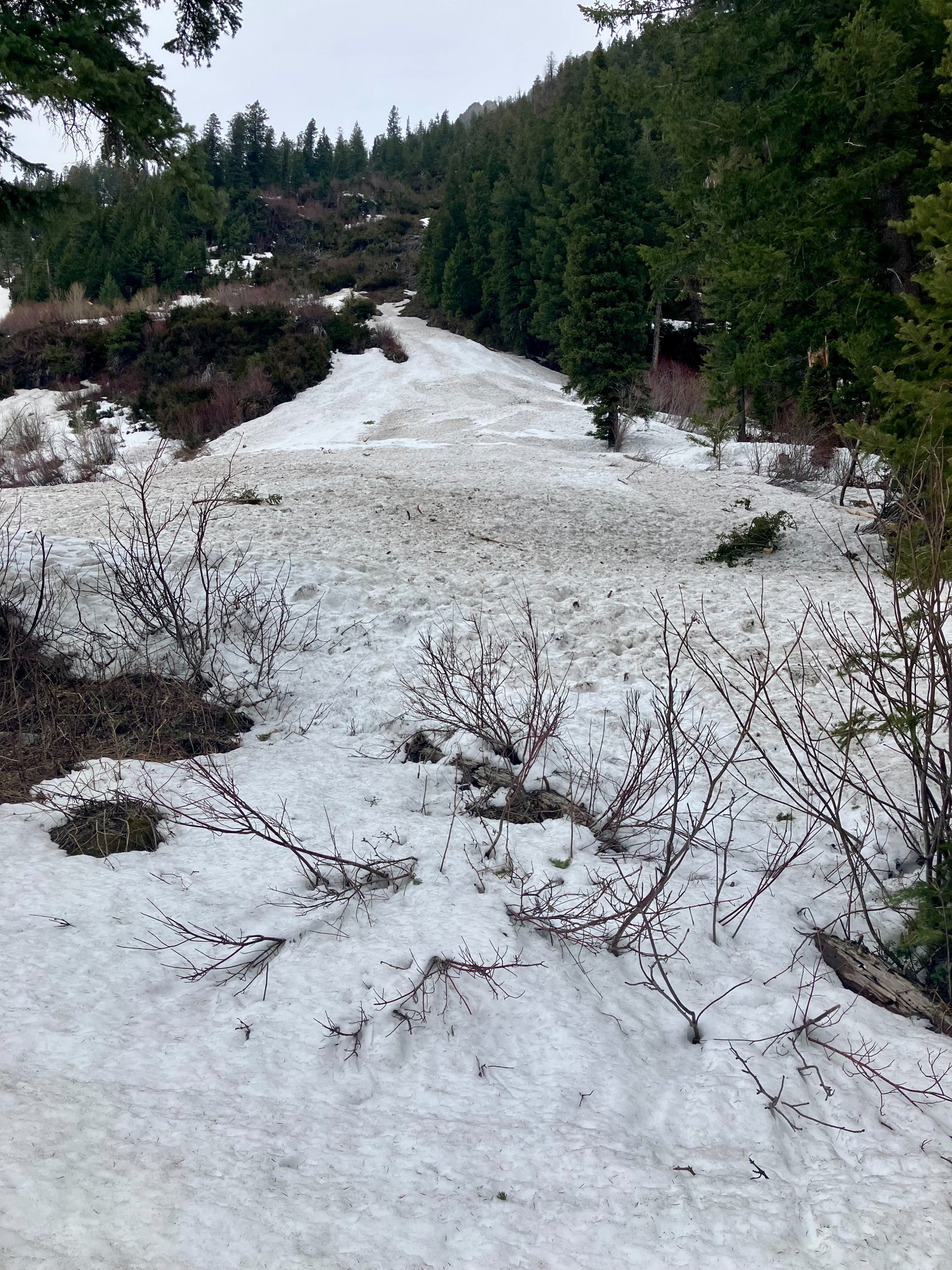
Quick report
Friday night's melt-freeze crust and this morning's clouds with winds were all enough to destroy our hopes for some early morning corn - so we adjusted our aspect and found some soft snow at upper elevations (still a-maize-ing! ). Mid elevations were hard and slick the entirity of the day, while lower elevations did begin to soften.
- Found small wind slabs on crossload N and NE slopes. Flagging on surrounding peaks. Above 7000' the deepest slabs were ~8" 4F hardness on top of a thick melt freeze crust. Wind slabs were nonreactive.
- Saw evidence of wet loose activity from Friday's sun. Steep and sheltered N facing slopes still held ~3" dry, consolidated snow from the recent storm.
Spring skiing in the middle fork provides skiing with waterfalls - as the alder patches re-awaken.
Radial cracking around skis in recent wind affected snow in isolated slopes at upper elevations.Weather
- Cloud Cover
- overcast
- Wind Loading
- moderate
- Snow Avail For Transport
- small smounts
Moderate gusts and full cloud coverage started around 0900 with transporting snow above 6000'.
Avalanche
- Size
- D2 R3
- Type
- HS
- Aspect
- NE
- Trigger
- N
- Elevation
- 7000 ft
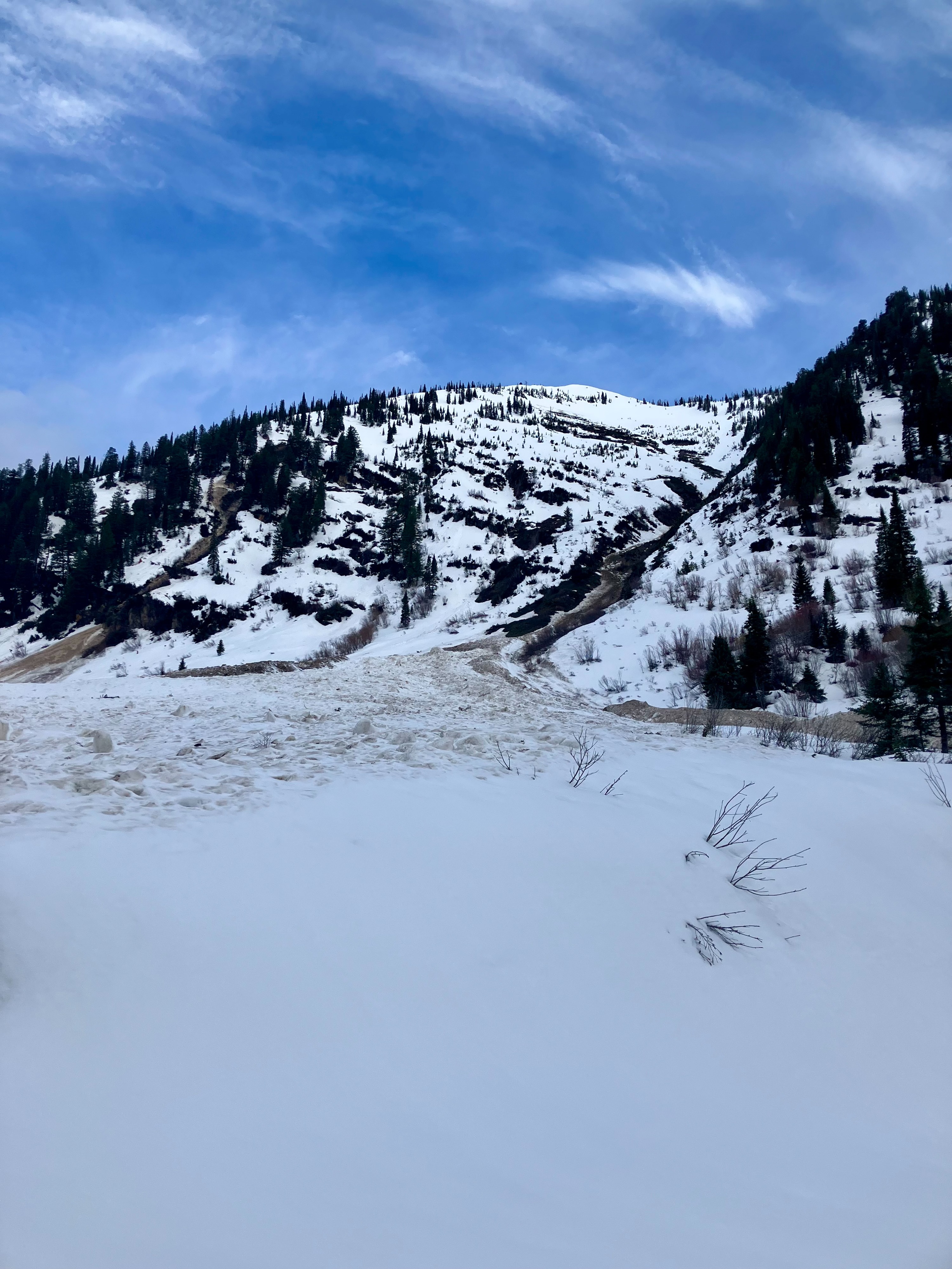
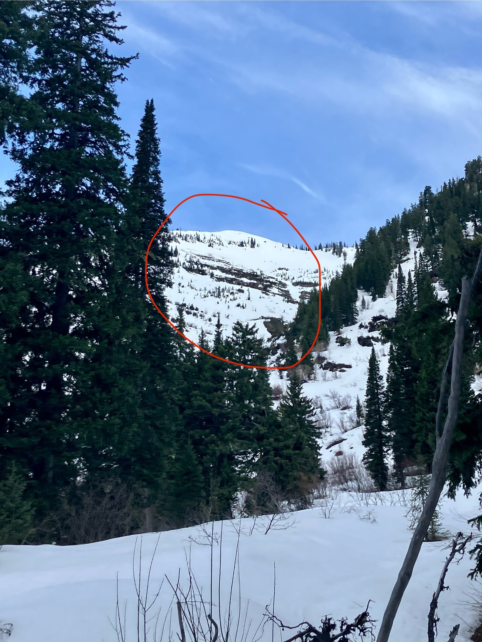
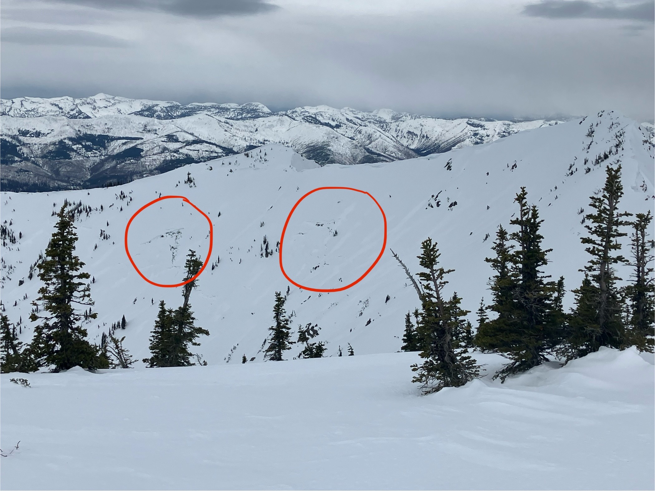
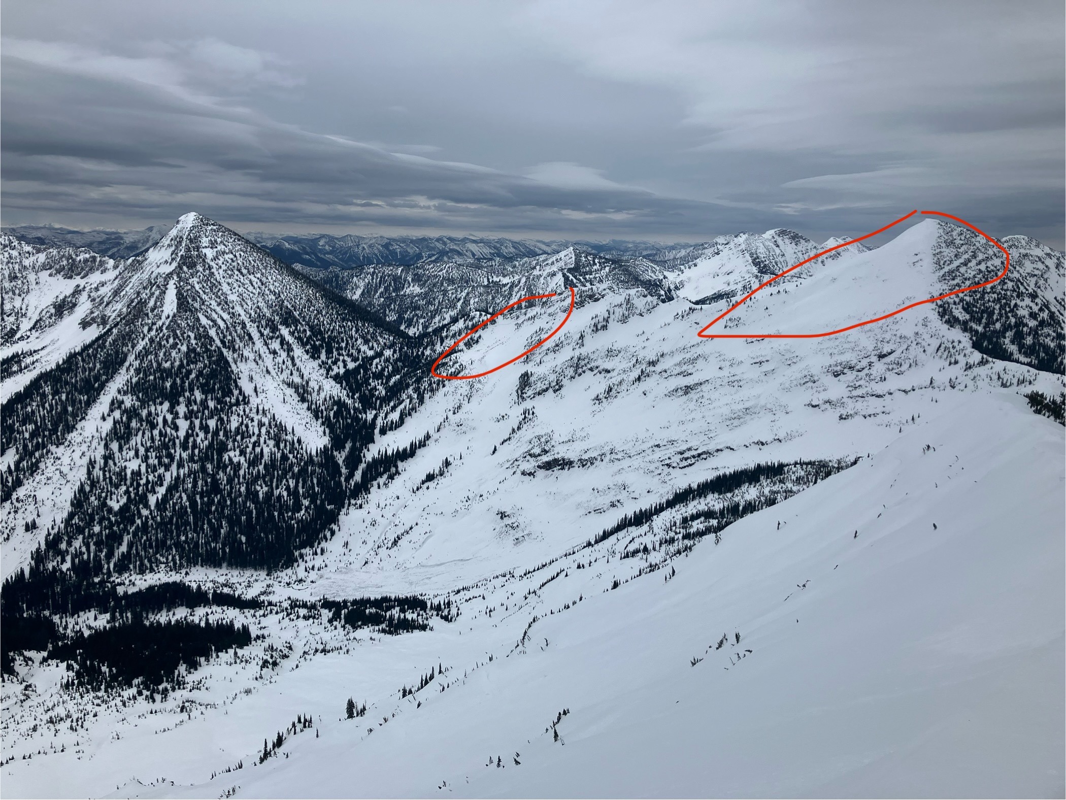
Signs of wet avalanches evident of yesterday's solar warming and the season's glide problem. Older activity was still obvious - 2x Large, hard slab avalanches near the NE face of Camewait, 10 x D2 (Loose Wet) on primarily S facing slopes.