
Quick report
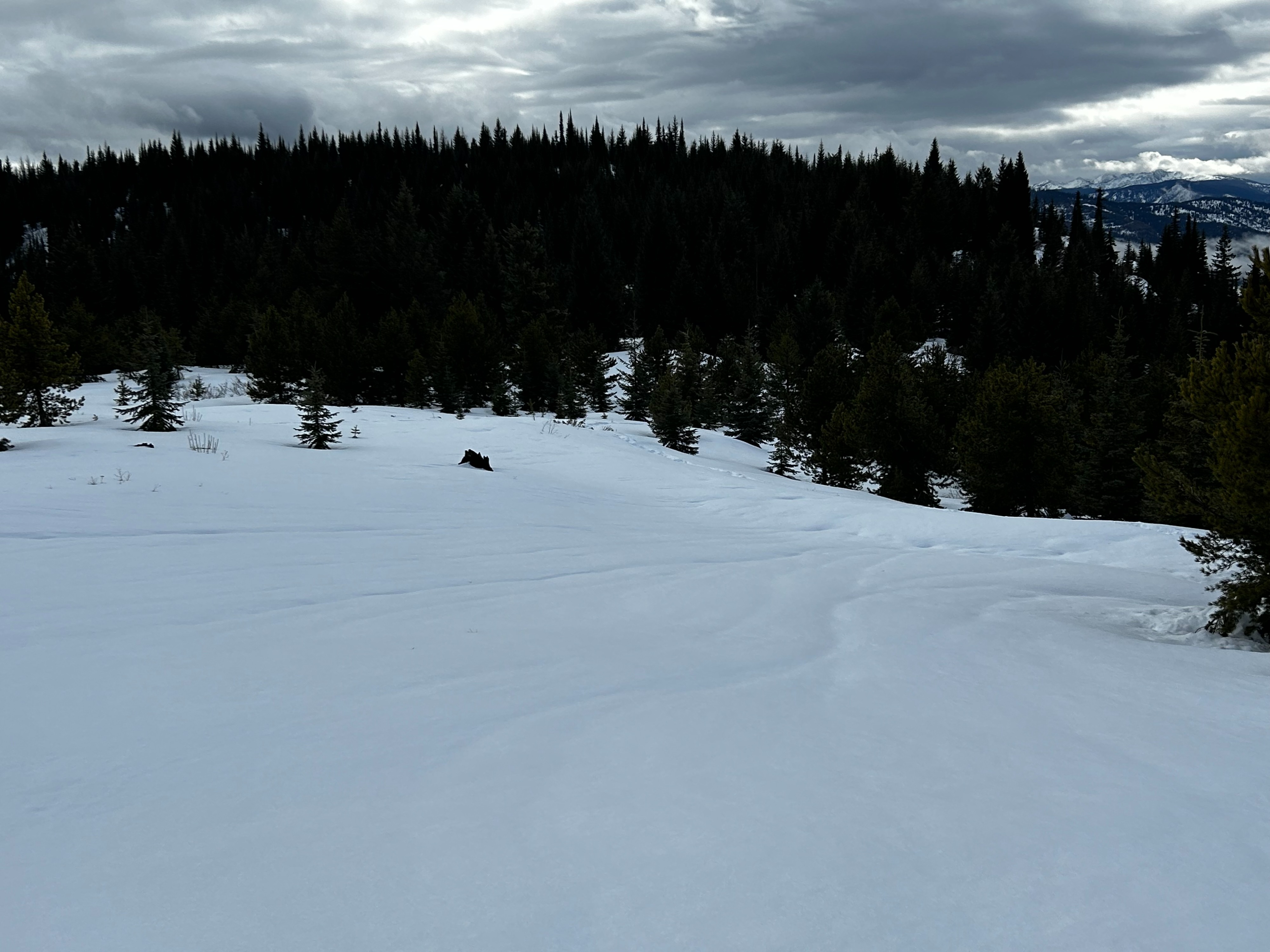
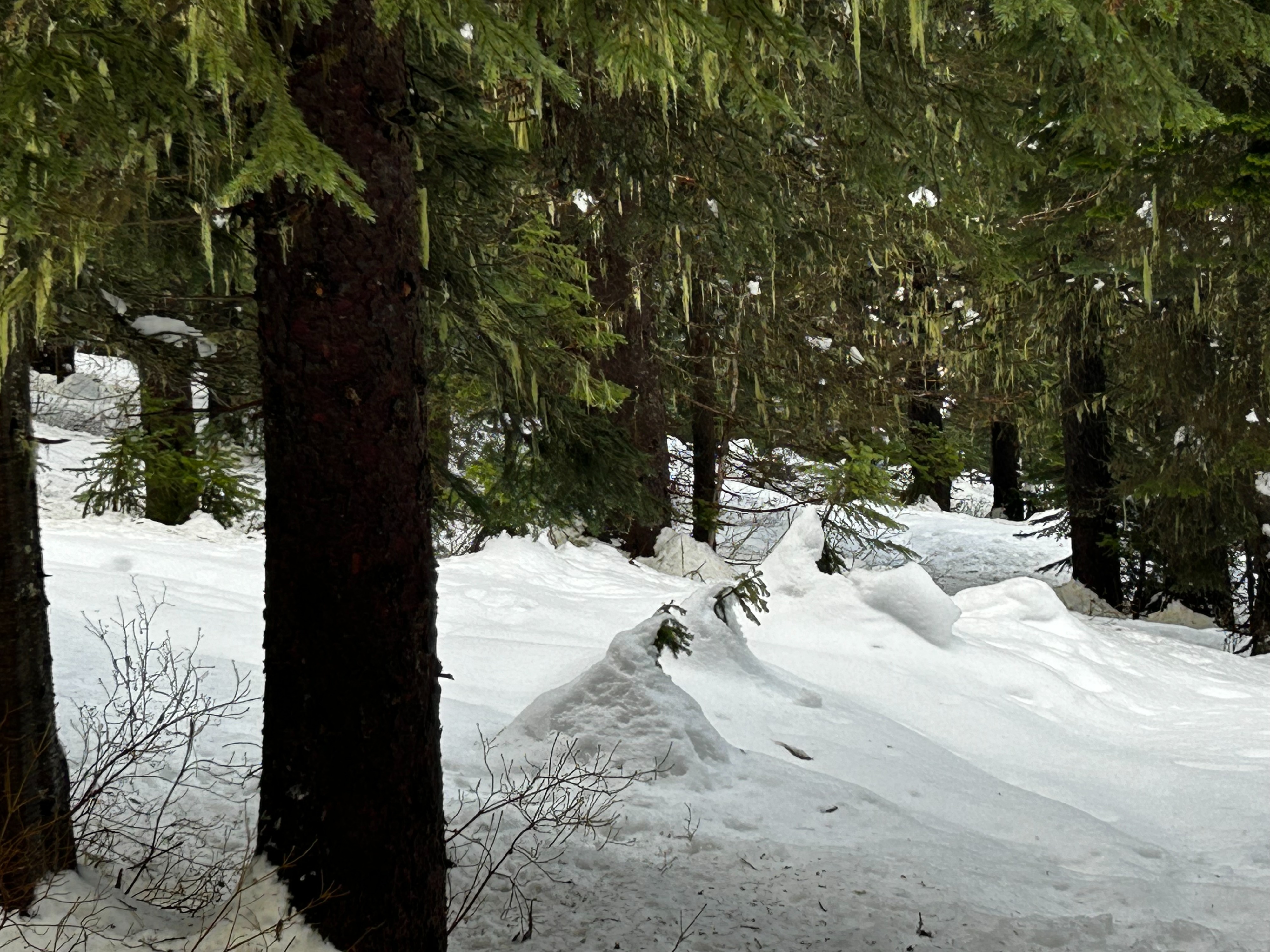
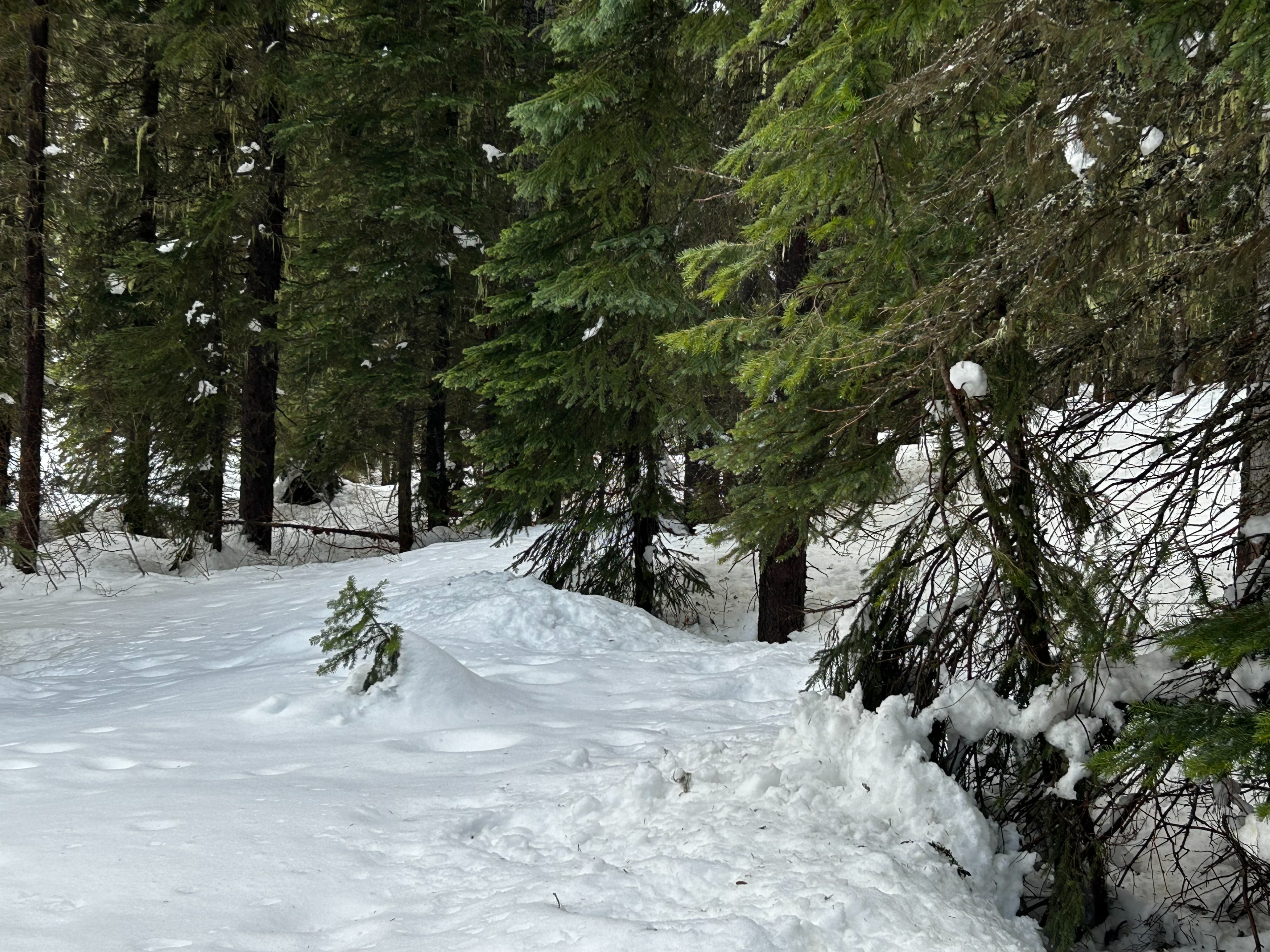
Set out from Lolo Pass Visitor to observe how recent rainy/warm conditions have impacted the snowpack and coverage. Started the day at 11am with overcast sky, 35F, calm winds, and no precipitation. Ended the day at 2pm with overcast sky, short episodes of snow/rain flurries around 1:30pm, calm winds, and 44F. Driving up from Missoula, roller balls and wet loose slides were evident. Dug a pit on a South facing aspect at 5,569ft. Instability tests resulted in a CT12 @ 66cm (PC), CT22 @ 24cm (SC), and an ECTP24 @ 21cm. Seemed to be a very thin density changed in the top 10cm where CT12 @ 66cm (PC) was observed, as well as a propagating result on what appears to be a faceted crust from earlier in the season. While touring, we noticed snow had completely sloughed off of trees, settlement cones, runnels on all aspects, and a breakable crust on all aspects. Thin conditions still exist, especially on solar aspects.