
Quick report
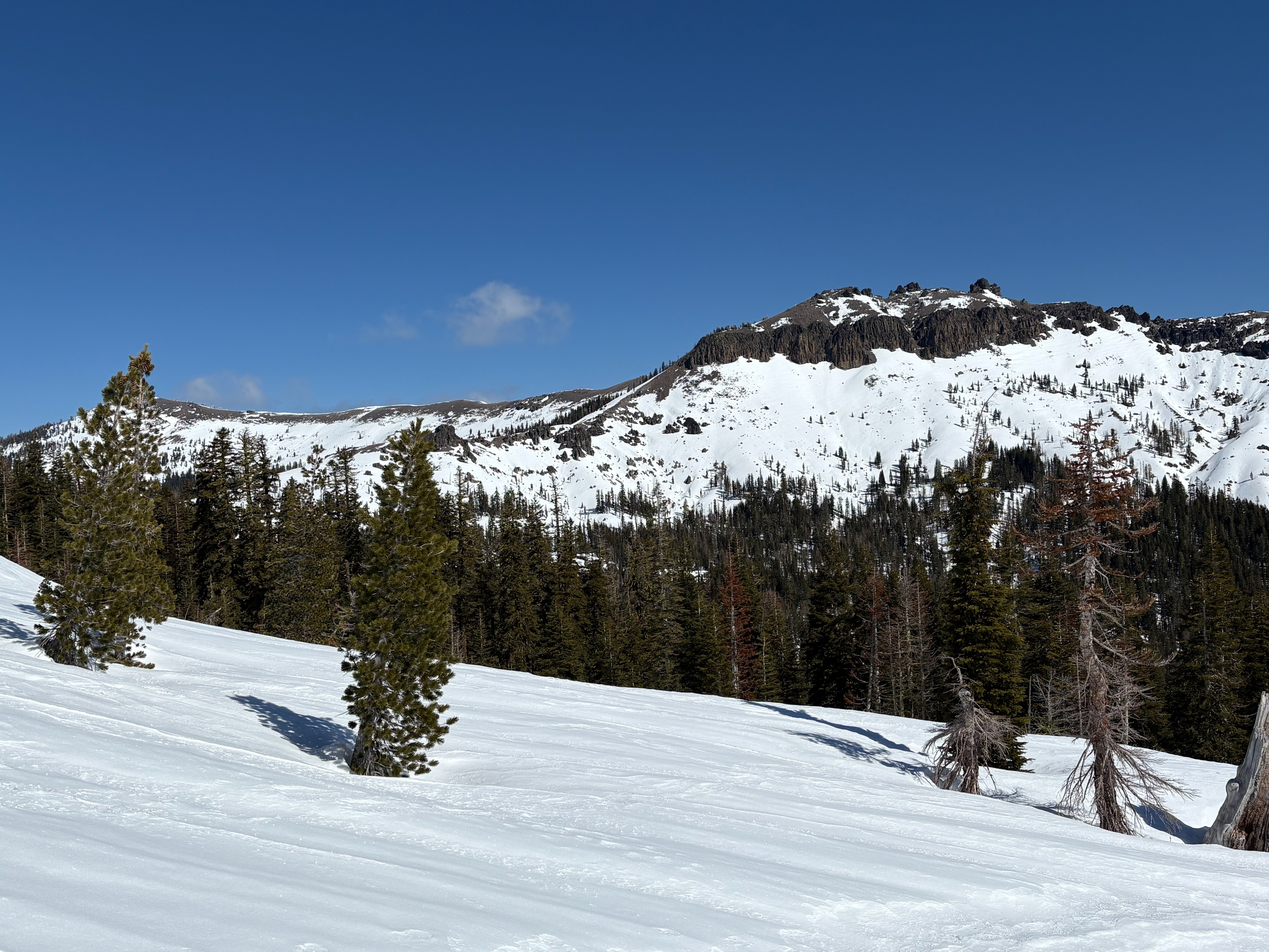
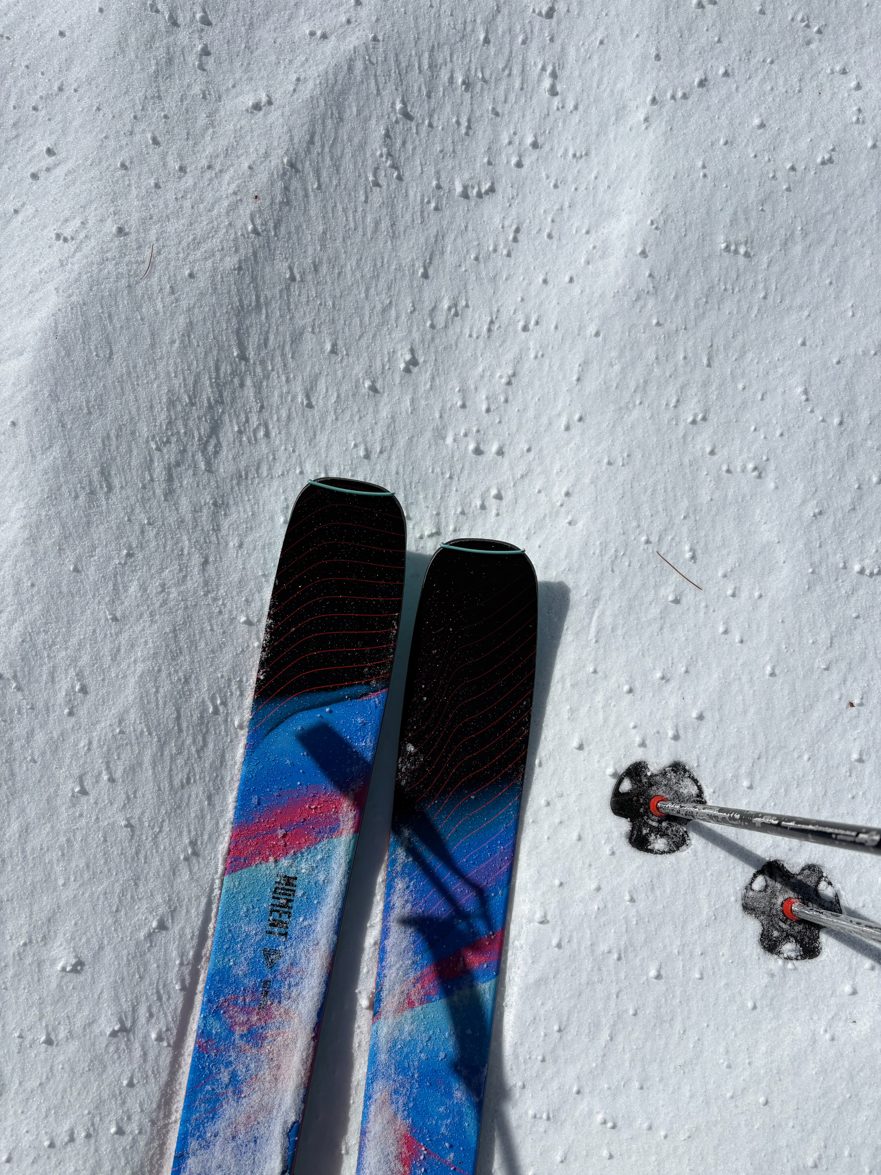
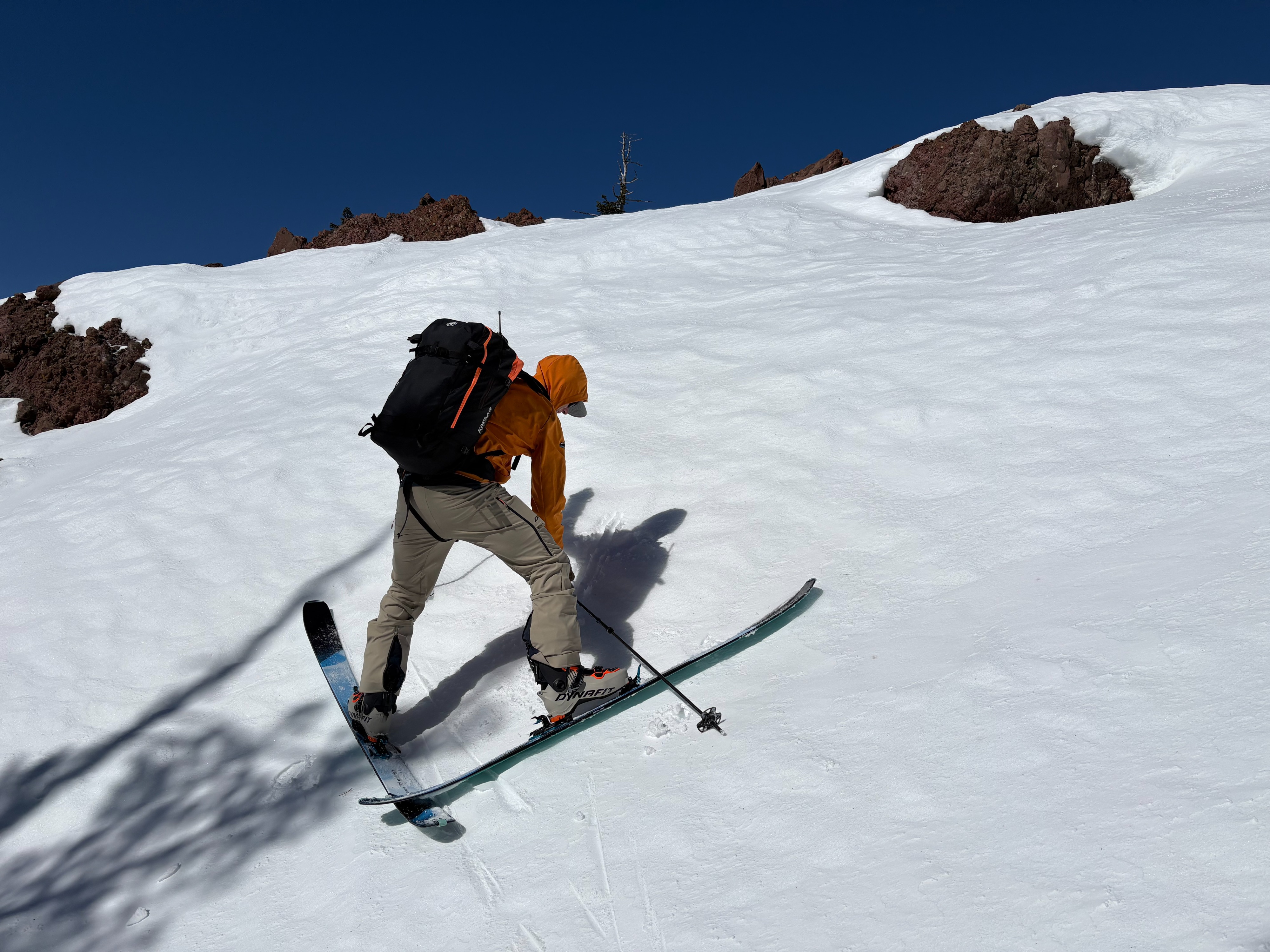
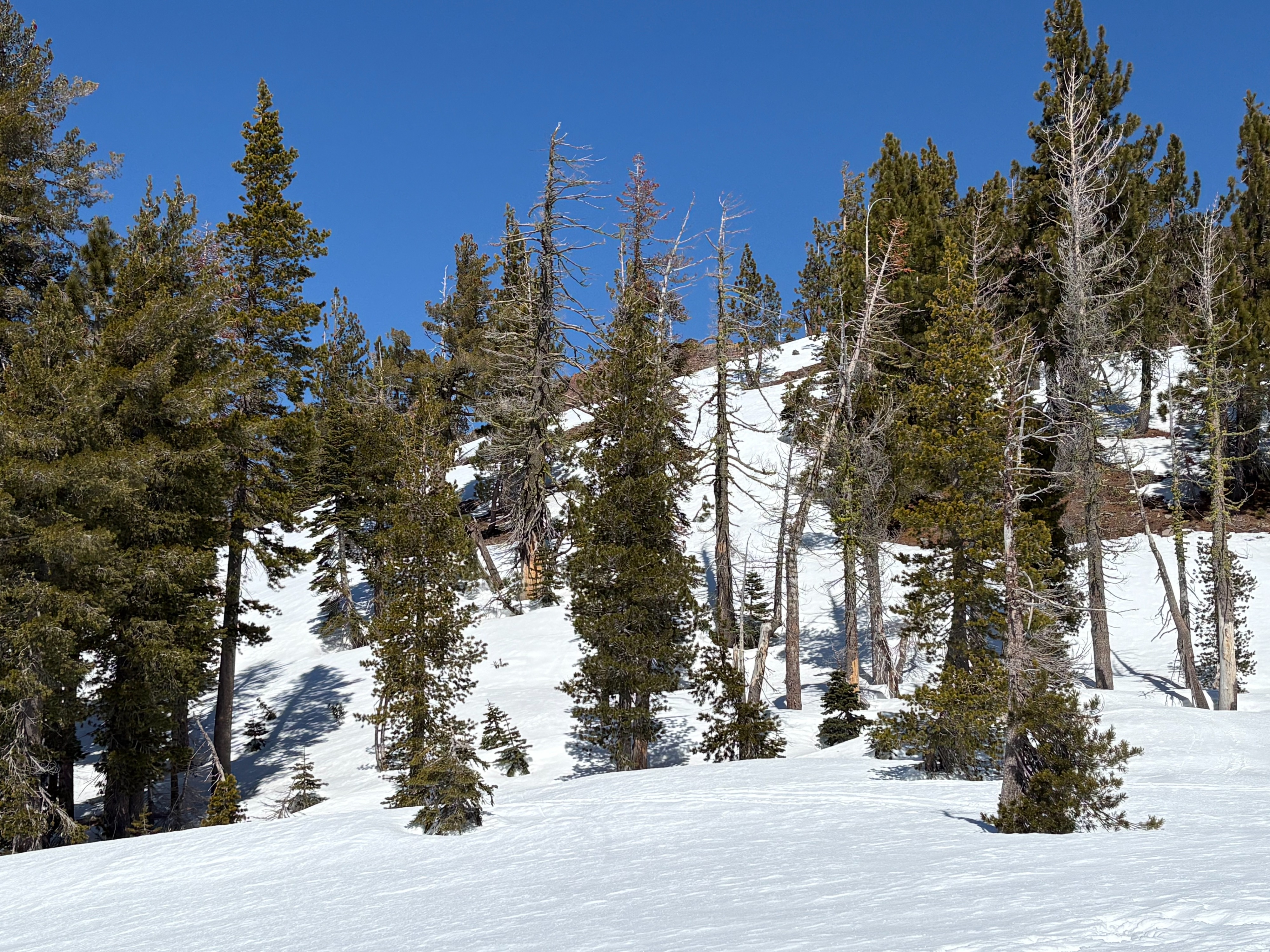
Cold temperatures overnight with a very hard refreeze of the upper snow surface. A light dusting of new snow was found throughout this area with some large graupel mixed in. Cold temperatures continued today with moderate NE winds in exposed areas. The snow surface had minimal wet snow development by late morning except for the most wind protected sun exposed slopes well below 8000'. Finding low elevation south aspects with adequate snow coverage remains a challenge throughout the forecast region. The south side of Andesite Peak had descent snow coverage and soft snow increased as we dropped down in elevation below 7600'.
Weather
- Air Temp
- Below freezing
- Cloud Cover
- few
- Wind Loading
- light
- Recent Snowfall
- Trace
- Snow Avail For Transport
- small smounts
Mostly clear skies with few clouds present. Very cold temperatures this morning with moderate NE winds.