
Quick report
We went to Stoney Ridge today with a highpoint of travel of 8,200'. We encountered snow surface melt in sun exposed areas on all aspects and cold recent new snow in shaded areas on northerly aspects.
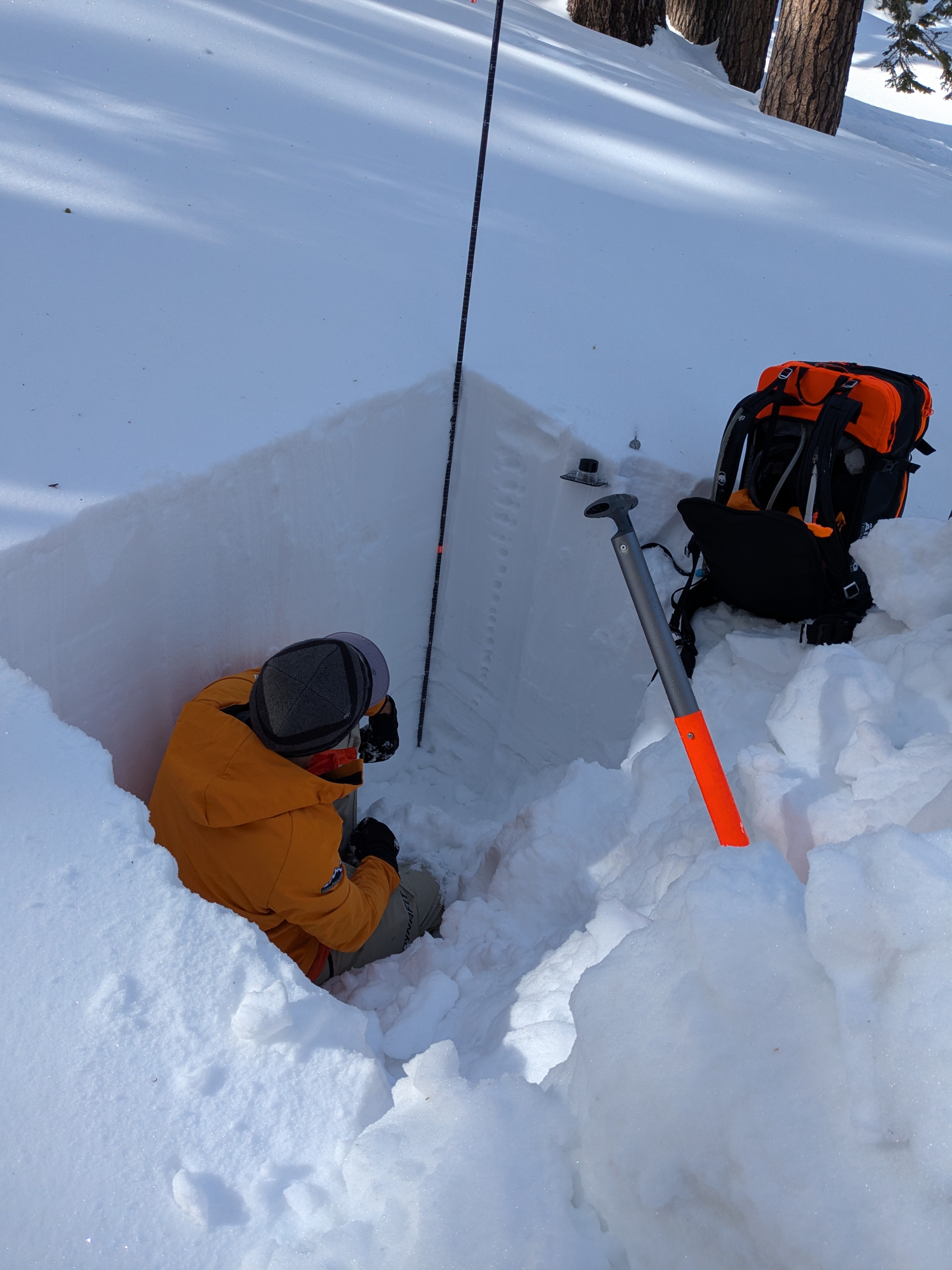
We dug a snowpit on a NNE aspect in an open area below treeline at 7,940' (noted lat/long) to assess the deeper weak layers that contributed to avalanches Feb 13-17. In this location, we observed ongoing strength gains and rounding of previously faceted snow. Snowpit tests did not reveal signs of instability at our location.
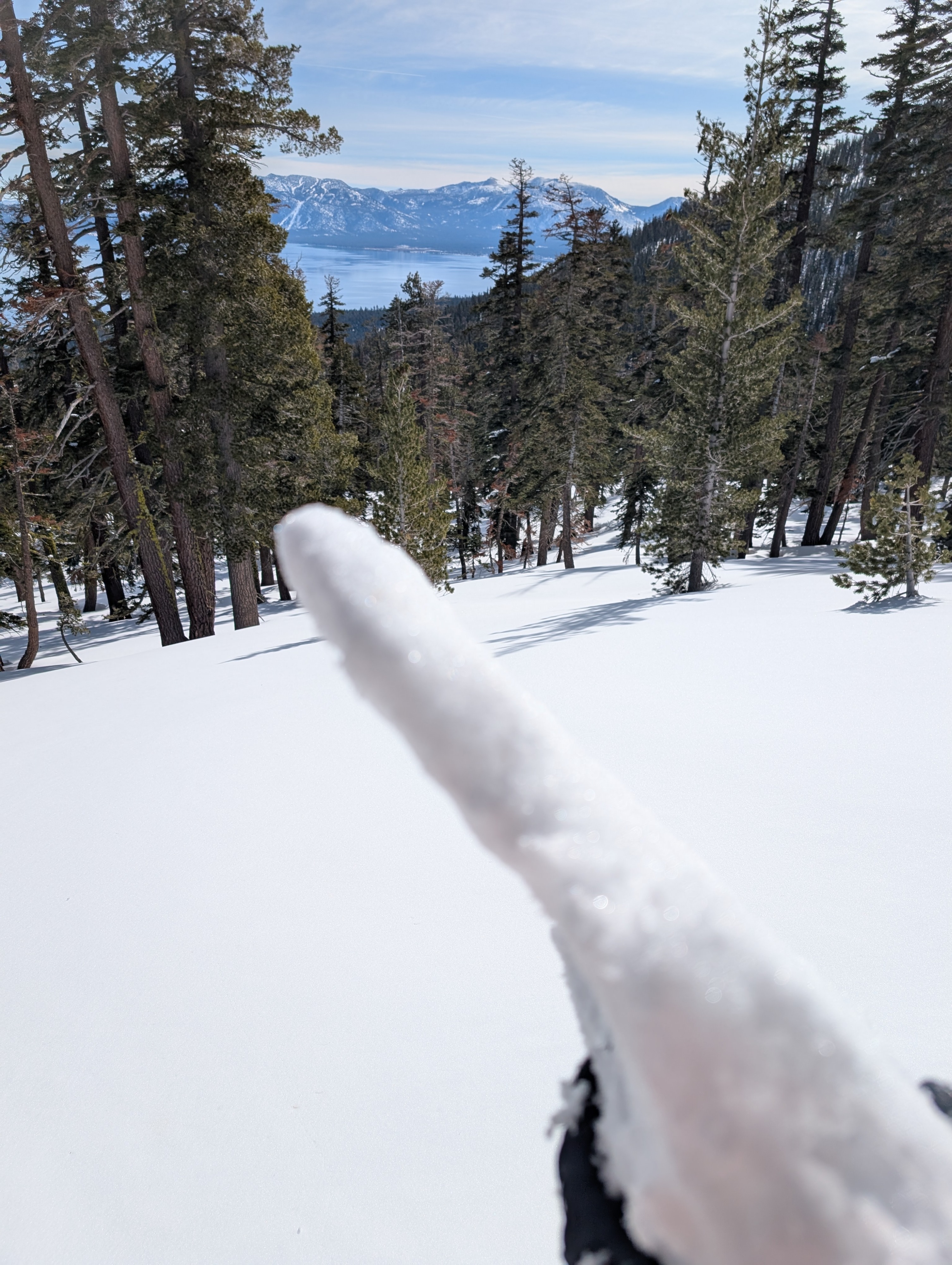
On solar aspects where snow surface melt was occurring, there was a thin rain crust just below the snow surface that was melting and weakening by late morning. We were able to trigger the most minor of rollerballs at noon.
Weather
- Air Temp
- 32
- Cloud Cover
- clear
- Wind Loading
- none
- Recent Snowfall
- 3
- Snow Avail For Transport
- small smounts
Calm winds with air temps warming above freezing.
Snowpack
Snowpit tests results gave no indications of ongoing PWL instability at this location.