
Quick report
- Cracking
- isolated
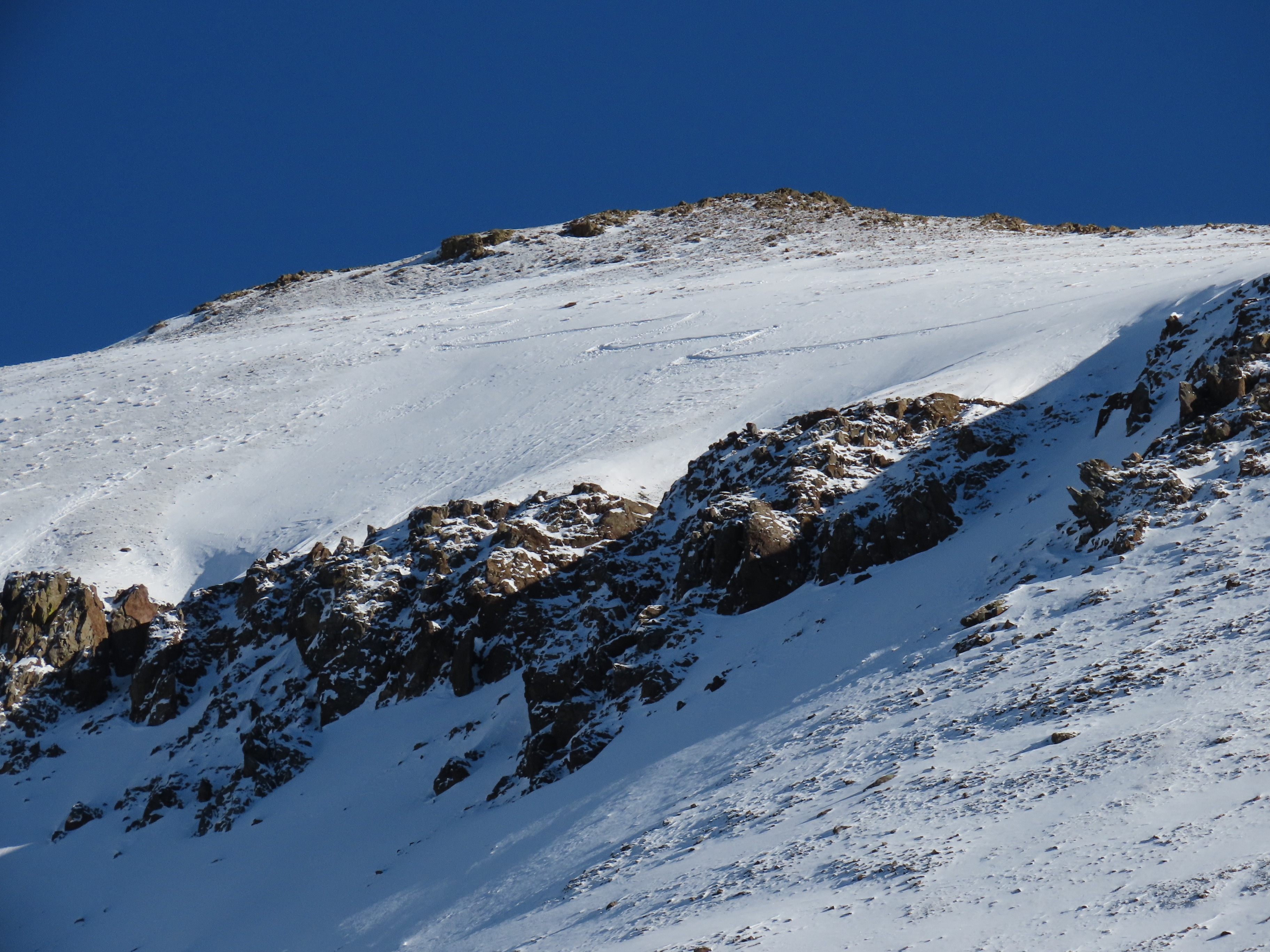
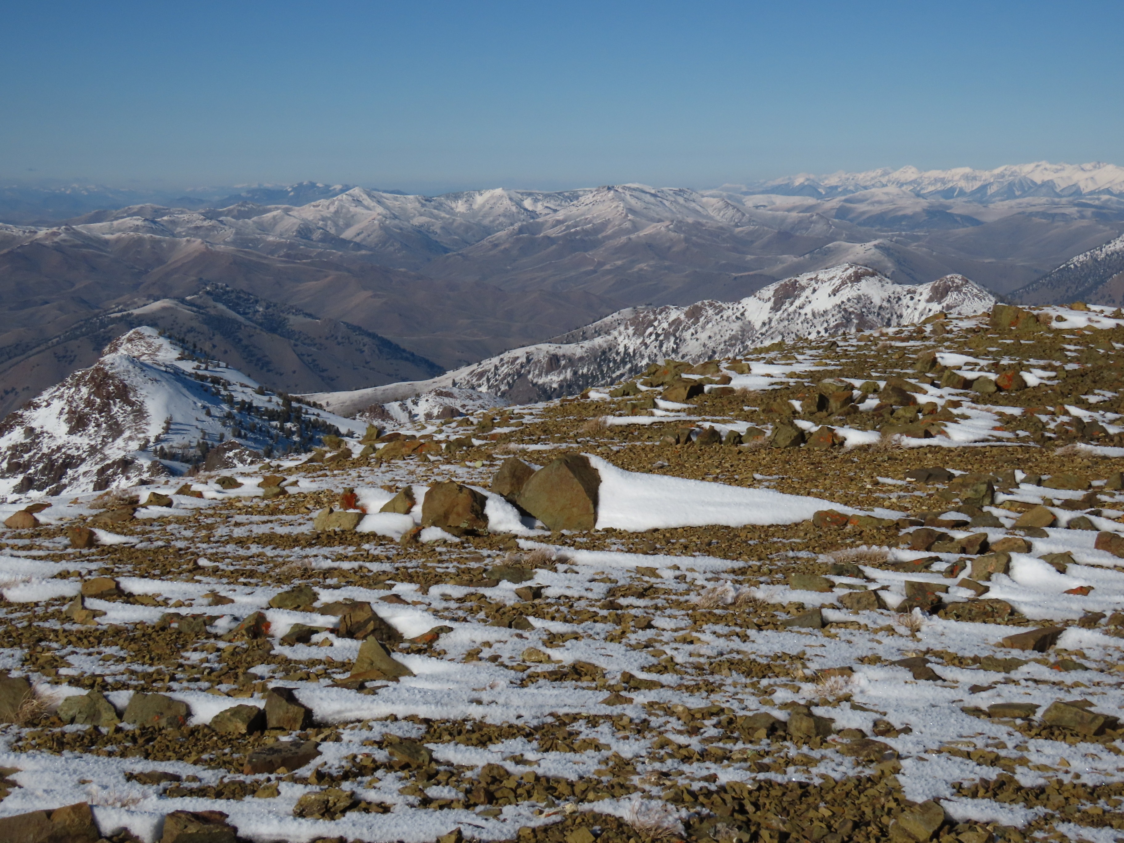
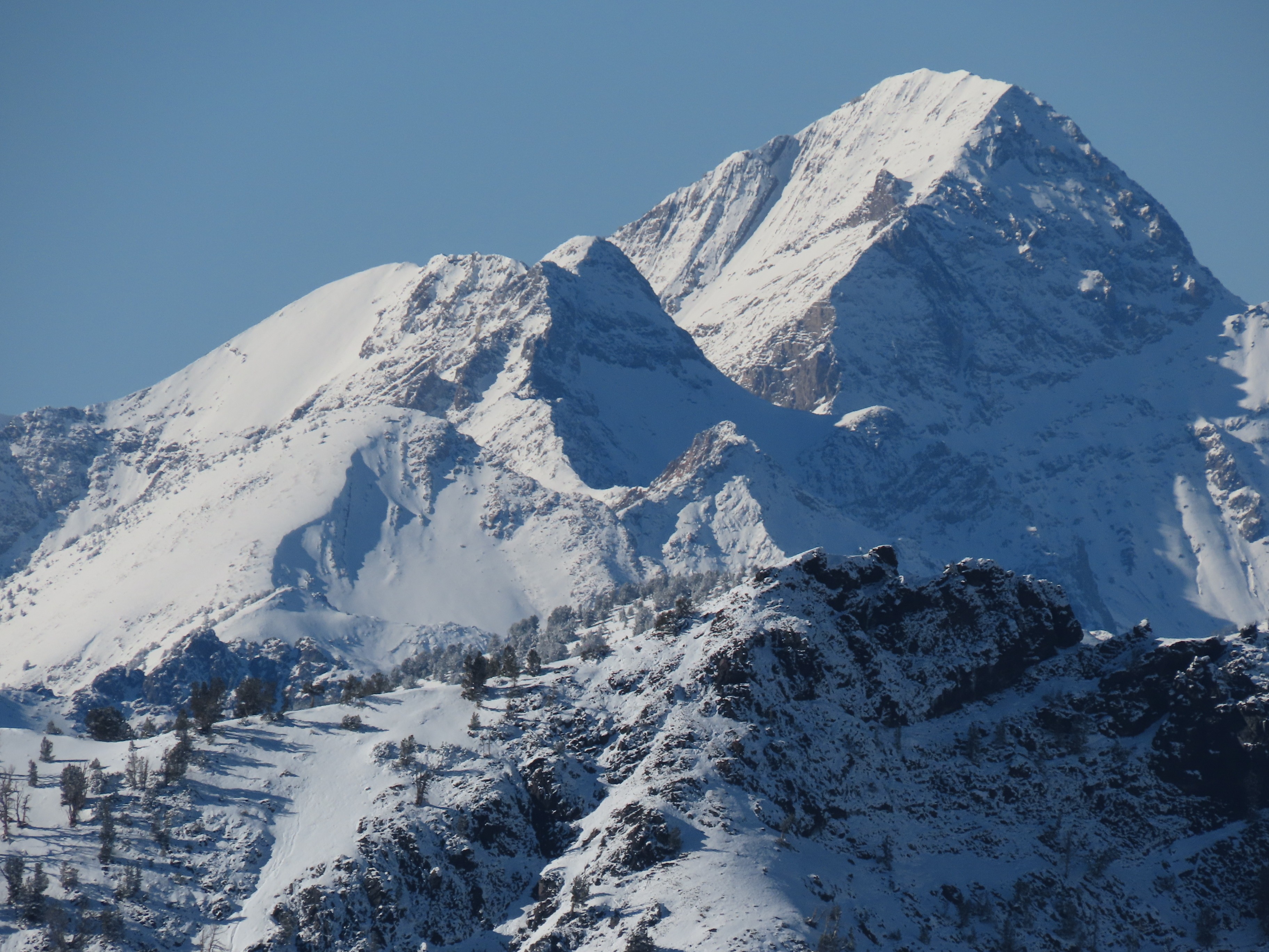
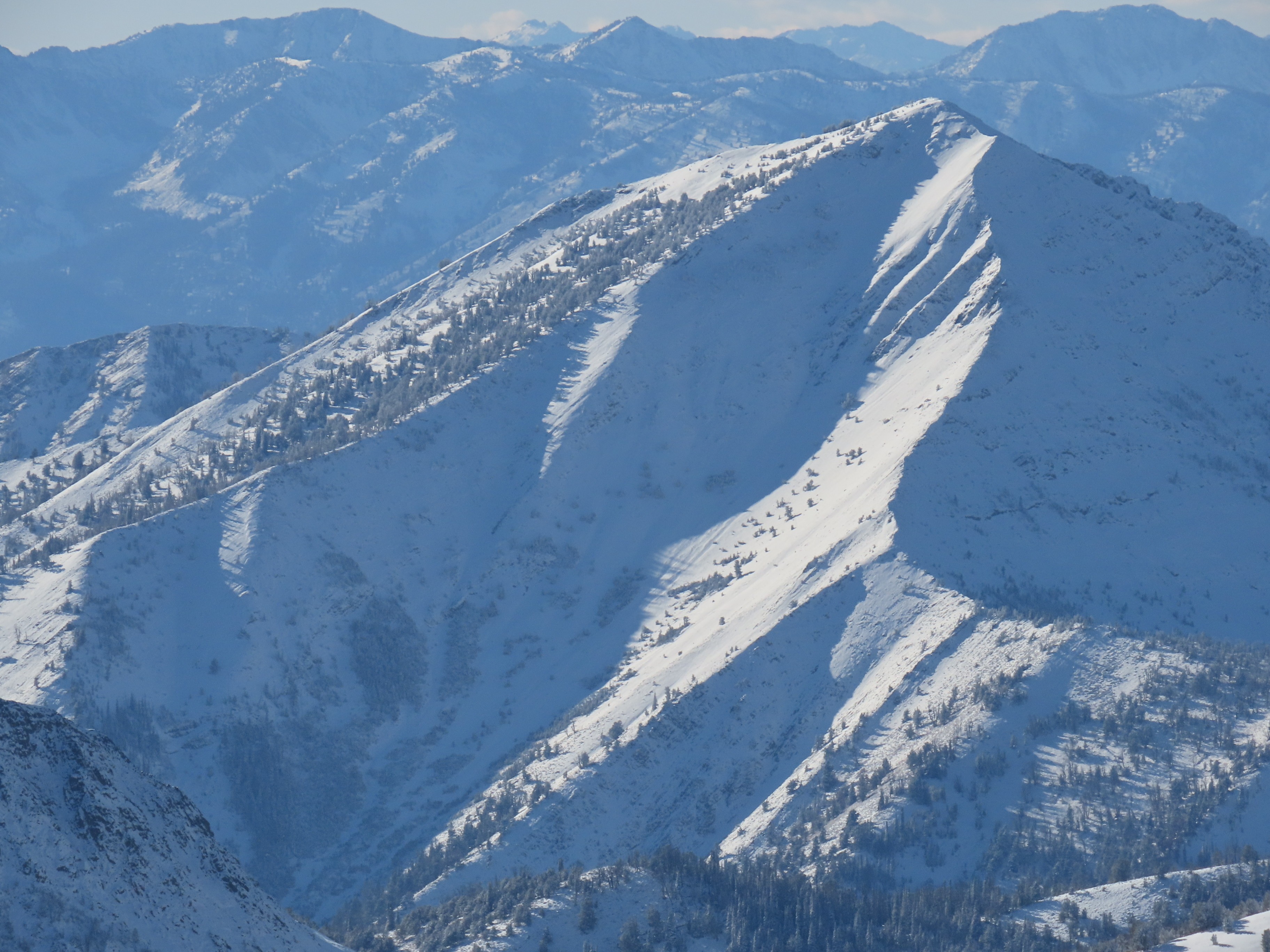
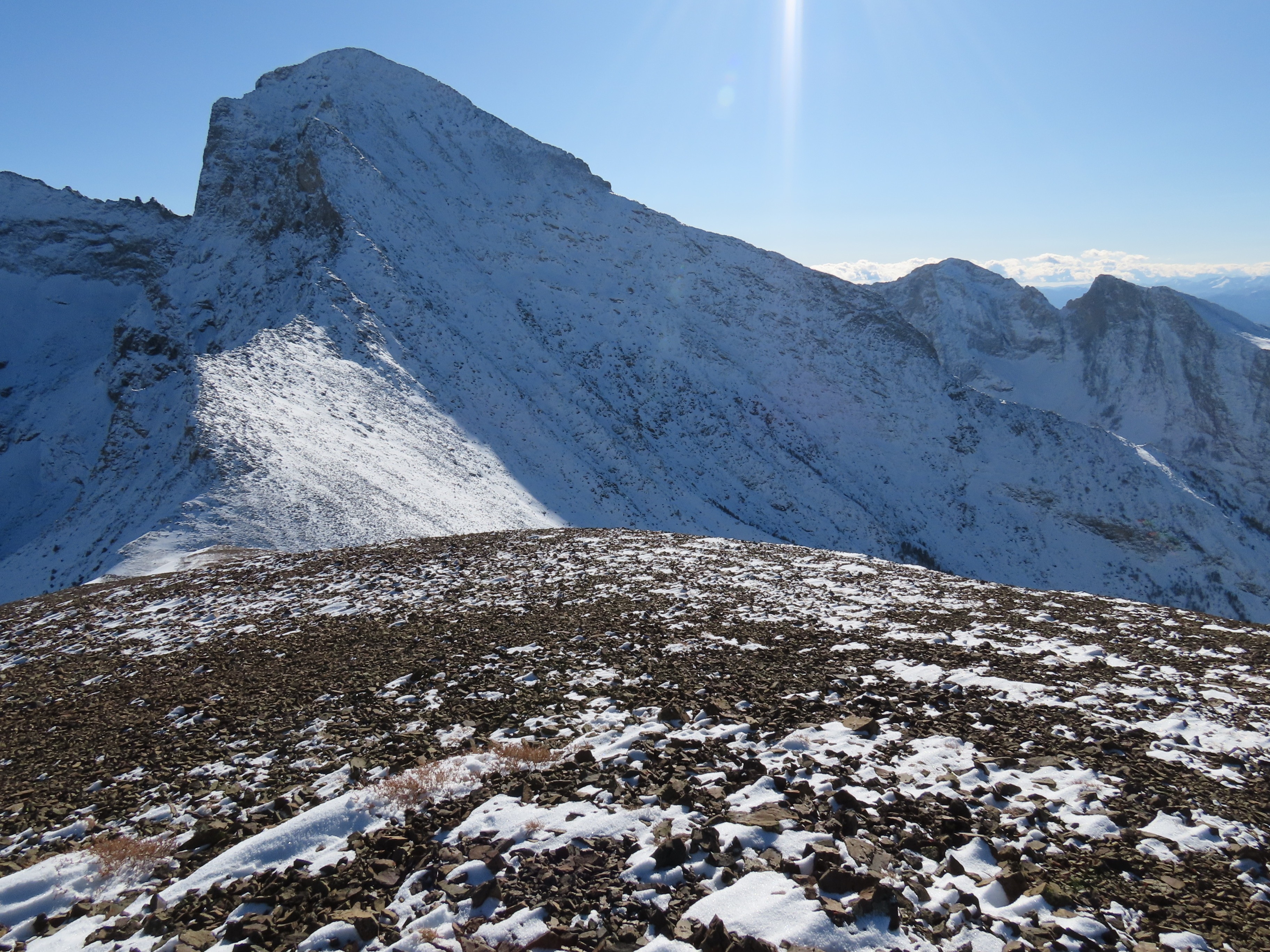
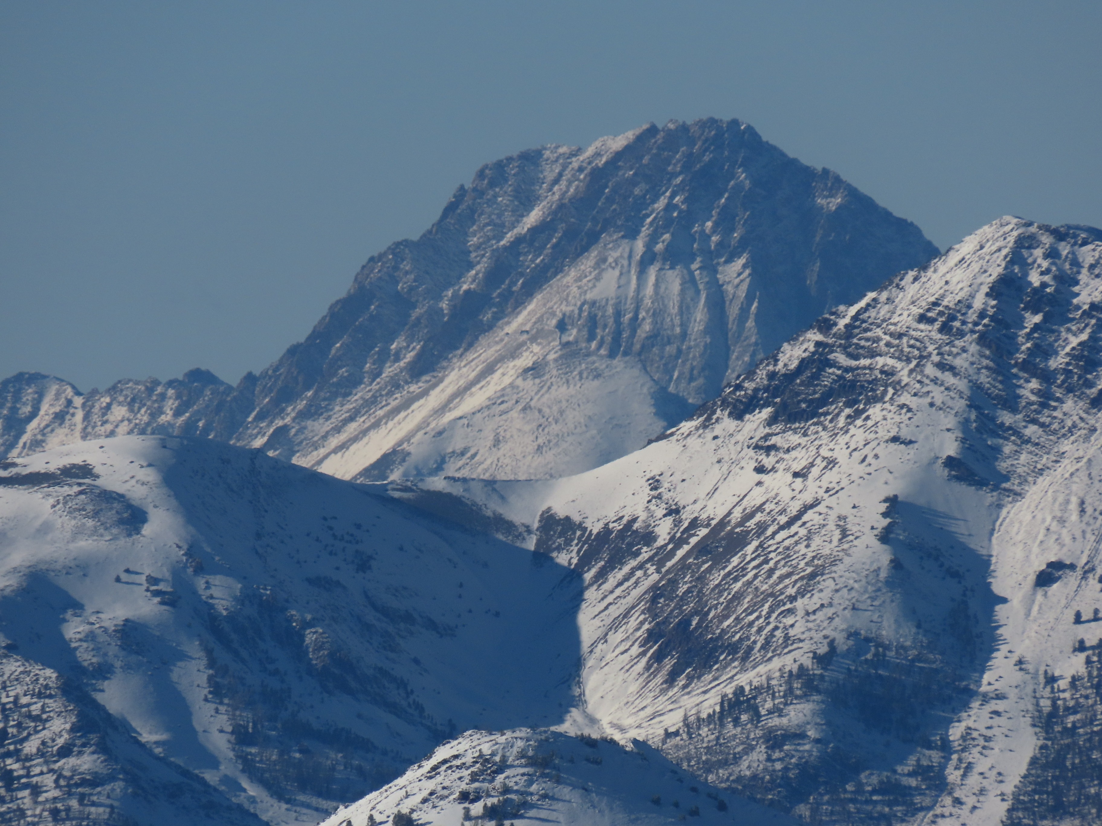
Early-season storms in September and October favored the southern portion of our forecast area. Here, isolated patches of remnant snow were lingering on shaded (primarily N-NE), upper elevation slopes prior to the storm on 10/24-10/26. I set out in search of somewhere with enough snow to ski...and was somewhat successful! Of course, my metric for success is low at this time of year: end the day back at the truck with no broken bits.
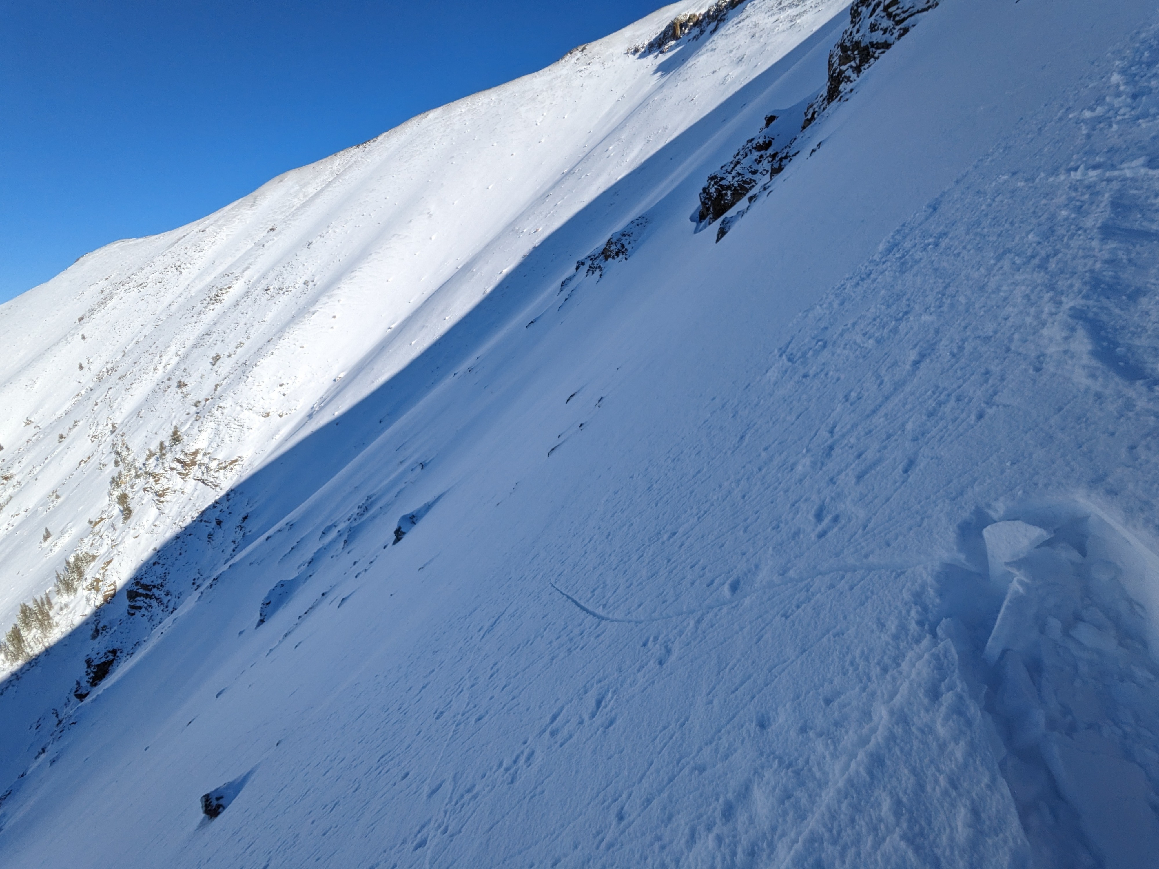
Had a bit of localized, isolated cracking on slopes with stiff wind drifts (see photo). Cracks extending up to 5m, but mostly less than 1m long.Weather
- Air Temp
- unseasonably cold, estimated high temp in teens F
- Cloud Cover
- few
- Wind Loading
- previous
- Recent Snowfall
- 20-30
- Snow Avail For Transport
- small smounts
Snowpack
While much of our forecast area was snow-free prior to the storm on 10/24, the southern mountains held some lingering snow. Based on weather station data and today's observations, precip from the 10/24-10/26 storm started quite warm. It was hard to be certain, but it felt like rain may have fallen up to at least 10,000' early in this most recent storm. This did some melting of the older snow, leaving a fairly icy mess of some intermediate between a melt-freeze crust and melt-freeze polycrystals. Despite the iciness, the upper surface of this snow was quite rough and the snow above it felt generally well-bonded.
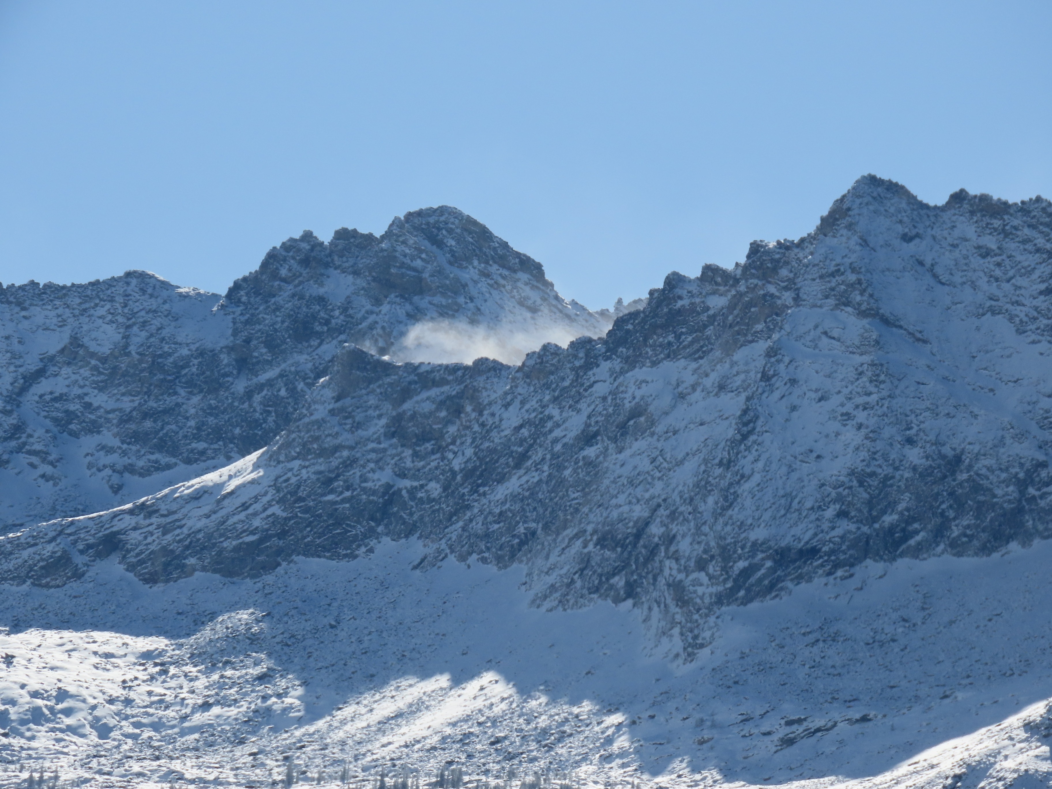
At valley bottom, I found 5-8cm of low density new snow. As I climbed, this increased to 20-30cm at upper elevation (hard to get a good feel due to the amount of wind transport). In exposed terrain I encountered stiff, isolated wind drifts up to 40-50cm thick, though most were in the 15-30cm range. These slabs were generally well-bonded, but I did find a few places where they produced cracks up to 5m long. This happened where the slabs were built on top of the low density new snow.