
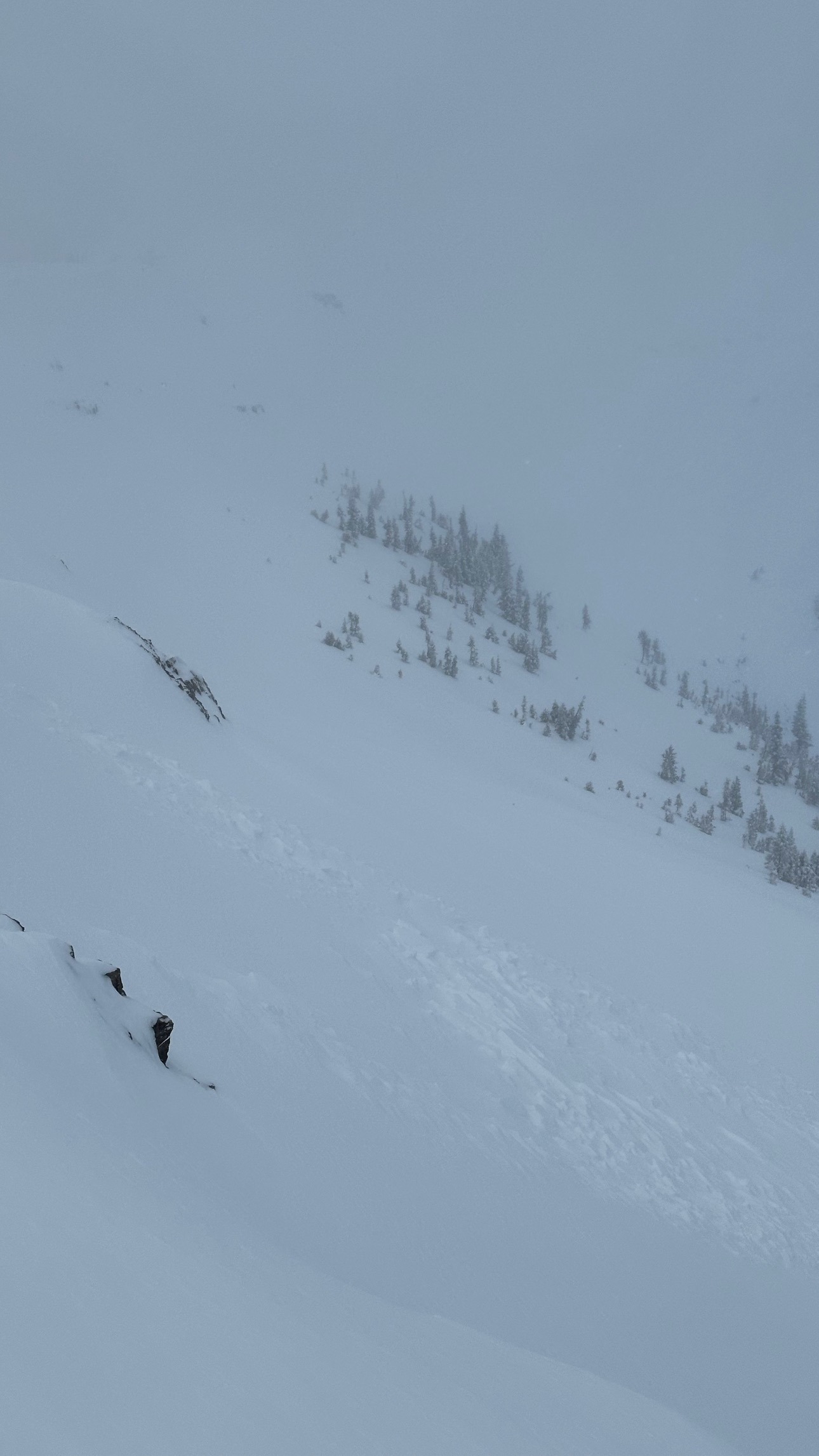
Quick report
- Cracking
- isolated
Observed snowpack ranging SW-SE on approach from 8,600' to 10,000'. Around 20cm (8") of new snow (drifted to 1.5+ feet in spots) was bonded well to the old snow surface. A glimpse at structure on these aspects looked positive, averaging 50-60cm (20+") of moist, supportable rounded snow. Above 9,000', these aspects have a melt-freeze crust above weaker, mixed-form snow but nothing widespread or noteworthy.
I descended between First and Second turns to sniff out some older snow on terrain tilted more west & north (very scrappy skiing). Above 9,000', the average snowpack depth is ~70cm (30 inches), the bottom 20cm of which is moist faceted snow/mixed forms, all small (.5-1mm in size). This layer is capped with some small SH that was hard to find and is already being mashed into the layers of snow around it, but still worth keeping an eye out for. This snow/structure has been noted in multiple areas across the Tetons with mixed results, both propagating and non-propagating. Overall, it appears spatial variability is playing in our favor concerning weak layer distribution. Above 10,000', more continuous snow coverage likely means that weaker snow has formed in a more continuous pattern, particularly upper-elevation (including above 10,500') start zones.
Sunny skies today have formed a breakable crust on the surface of southerly aspects.
Small pocket of new snow failed ~10,000' on a NE aspect of Little TucksWeather
- Cloud Cover
- broken
- Wind Loading
- moderate
- Recent Snowfall
- 20
- Snow Avail For Transport
- moderate amounts
WSW winds gusting to 20mph