
Quick report
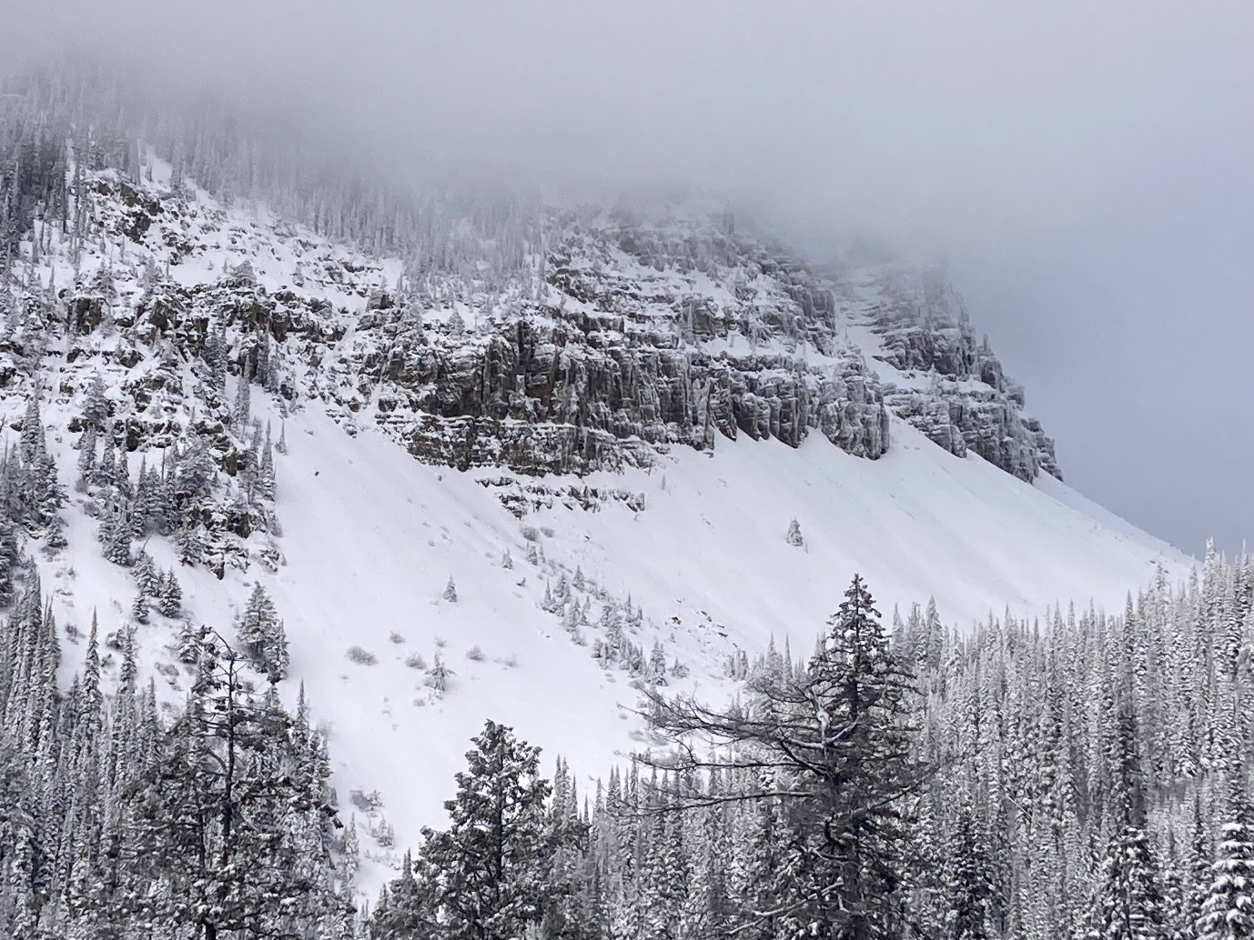
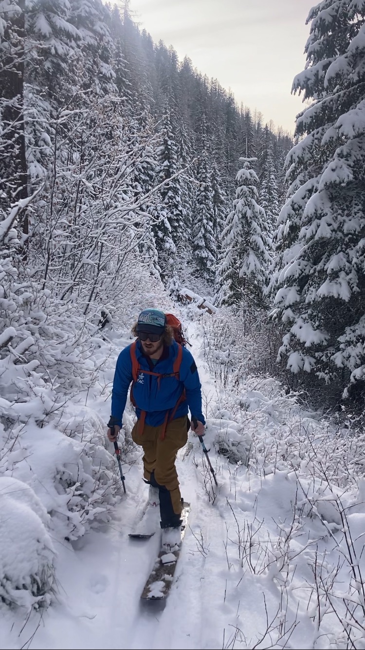
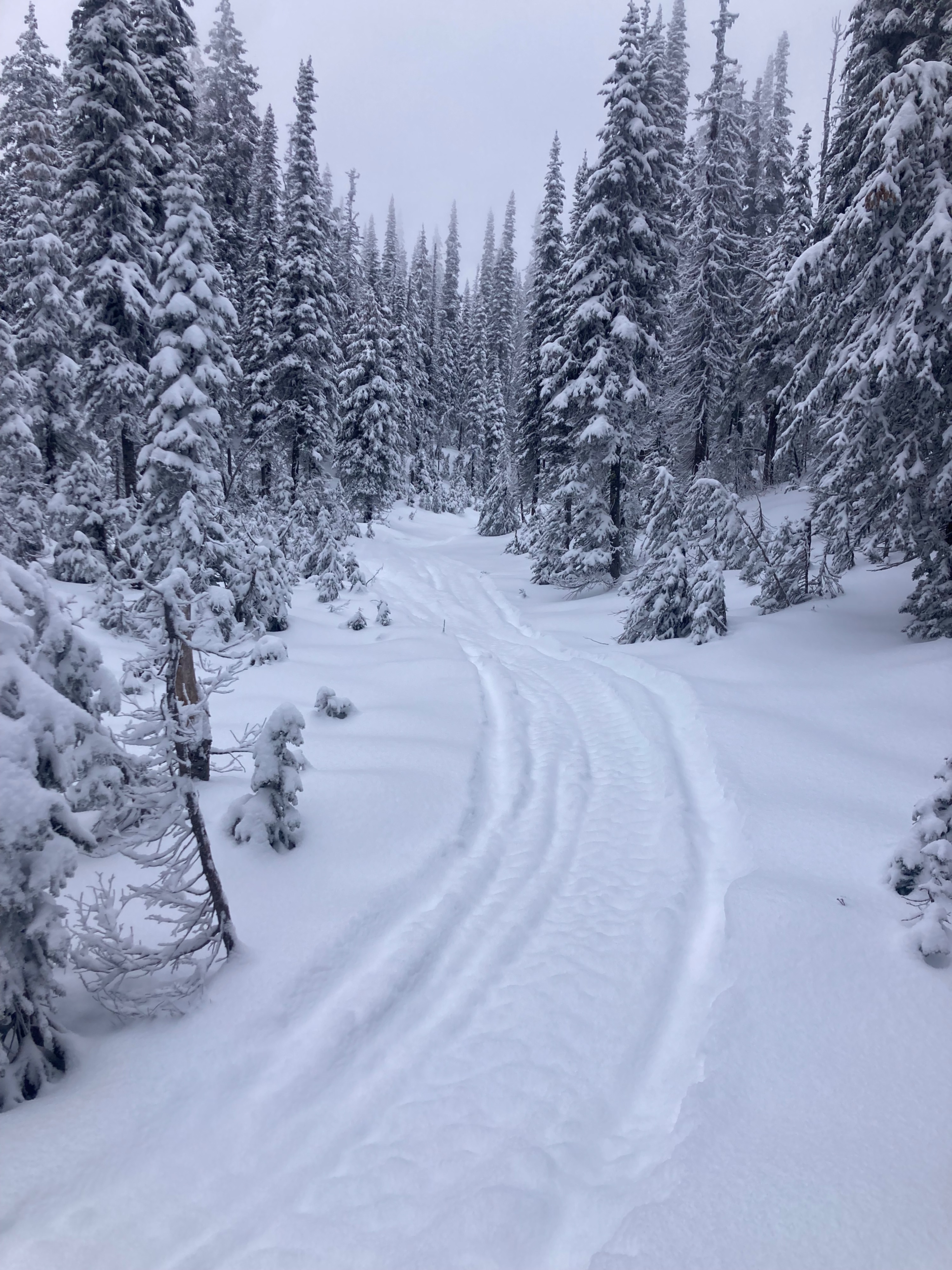
Rob and I headed into the Northern Whitefish Range today to check on early-season conditions. Snow depth and storm totals changed noticeably with elevation, and coverage below about 6,200 feet is extremely thin, making downhill travel hazardous. Near our high point at 6,600 feet, we found up to a foot of right-side-up storm snow well bonded to a stout base of refrozen melt-freeze grains and crusts. We saw no evidence of wind transport in the sheltered terrain we traveled, though we couldn’t visually assess much exposed terrain for wind loading. We observed no signs of instability, and the new snow was unreactive when provoked on small test slopes and in the pit.
Weather
- Air Temp
- 24
- Cloud Cover
- broken
- Wind Loading
- none
- Recent Snowfall
- 20-30
- Snow Avail For Transport
- moderate amounts
Cool temps and calm winds. Mid-level clouds overhead, with fog/low clouds that crept up and then dove back down into the valley.
Snowpack
Elevation-dependent snow depths -
6000' - HS 5", HST 3"
6200' - HS 10", HST 4-5"
6600' HS 36", HST 12"
We dug two snow pits during our travels.
6600' - NW Aspect
HS 70 cm, HST 30 cm
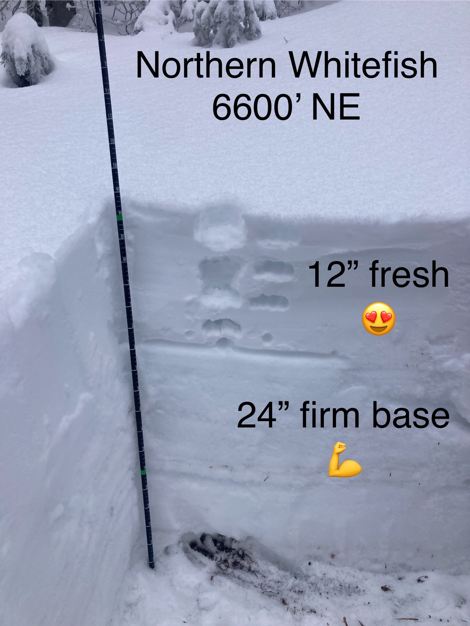
6600' - NE Aspect
HS 90 cm, HST 30 cm
In both pits, we found right side up F to 4F to 1F storm snow sitting on P to P+ MFcr and MF grains. The very base of the snowpack consisted of moist to wet MF grains.
Hand pits were unreactive.