
Weather
- Air Temp
- 11
- Cloud Cover
- clear
- Wind Loading
- previous
- Rain Elevation
- 700'
- Recent Snowfall
- None
- Snow Avail For Transport
- small smounts
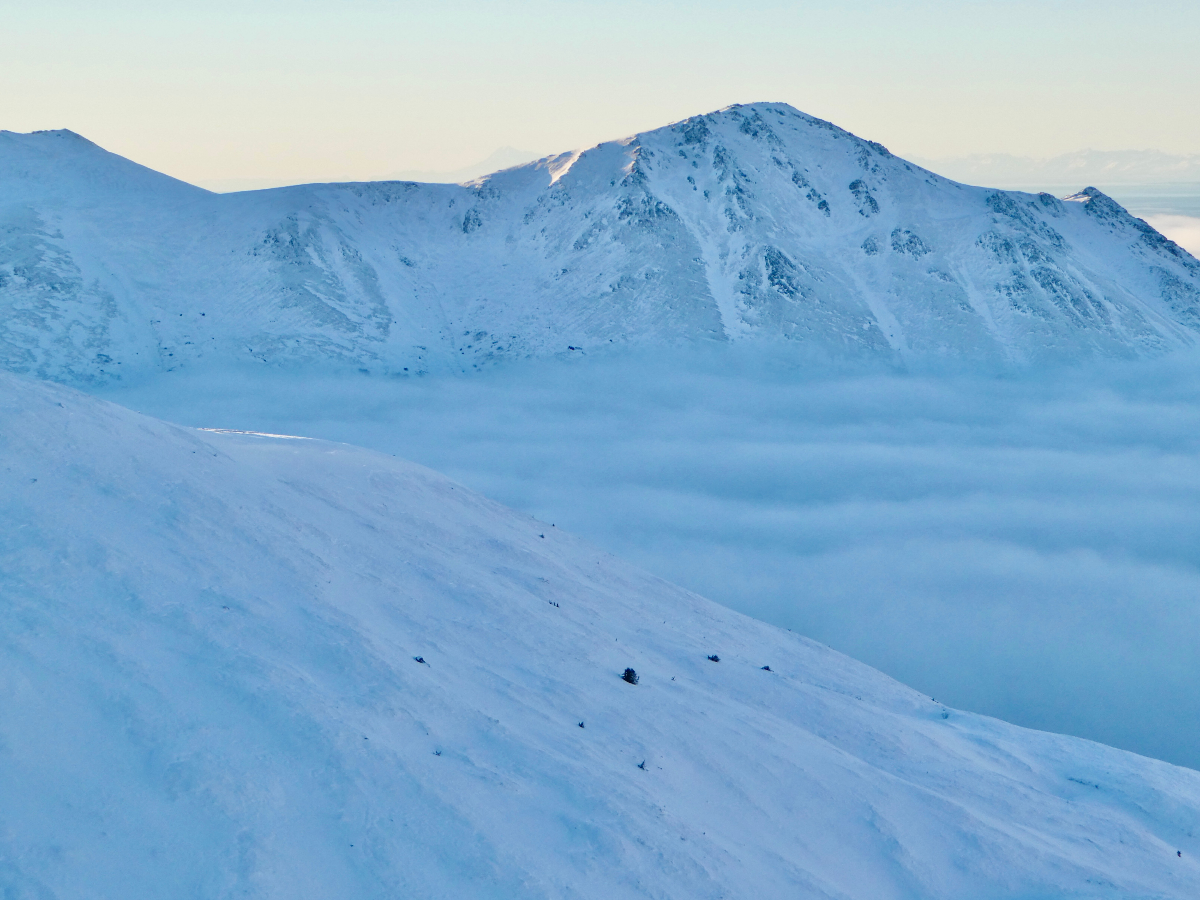
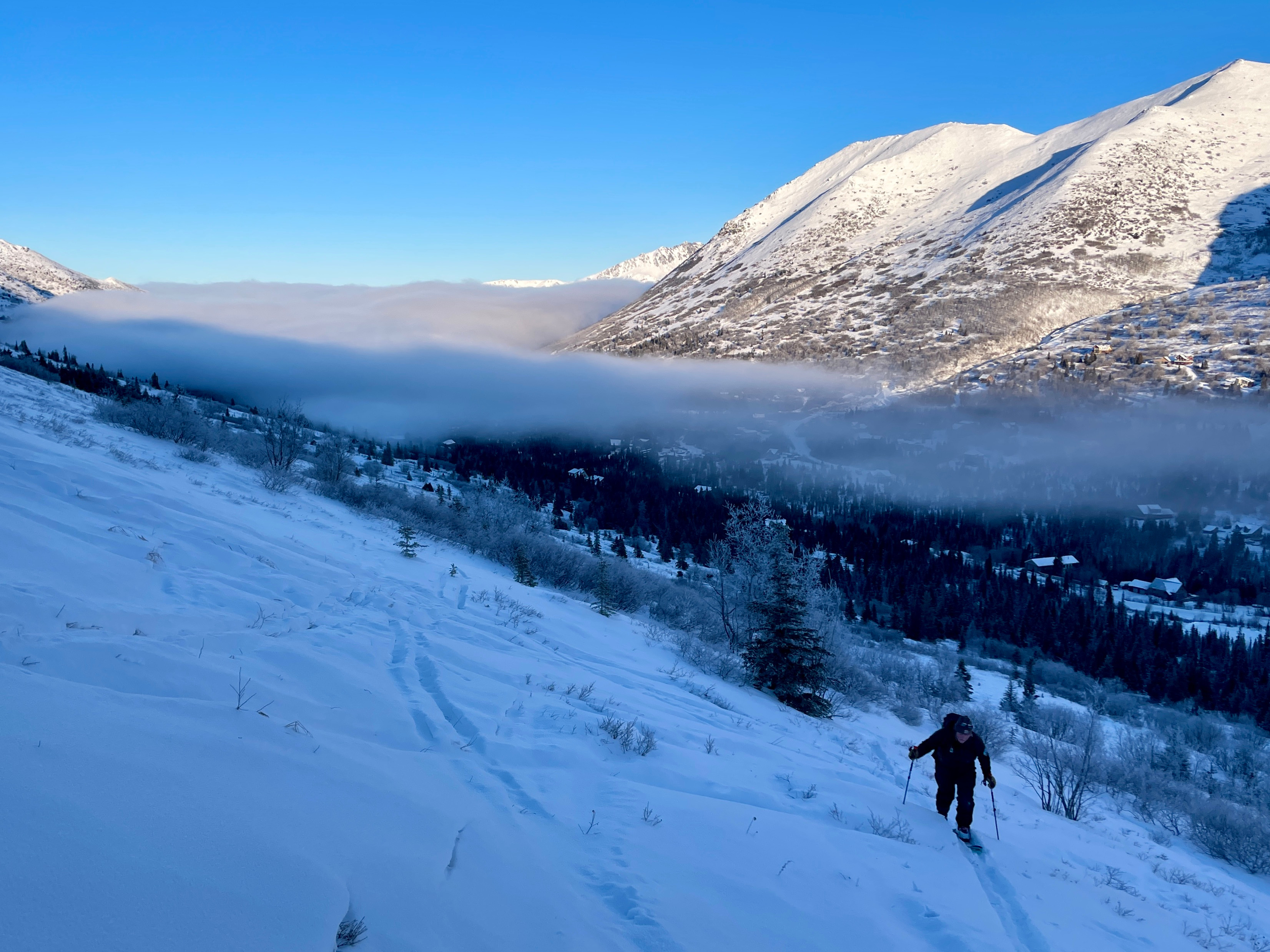
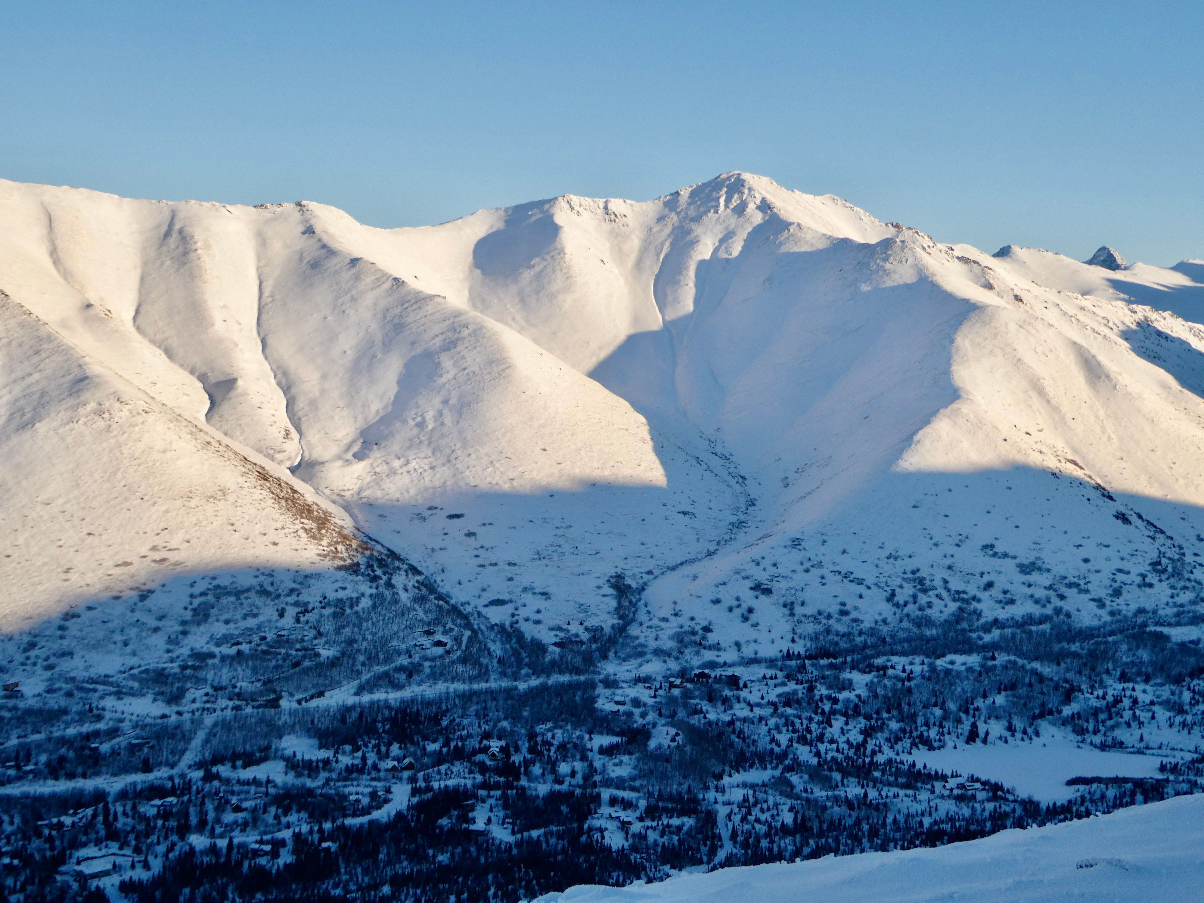
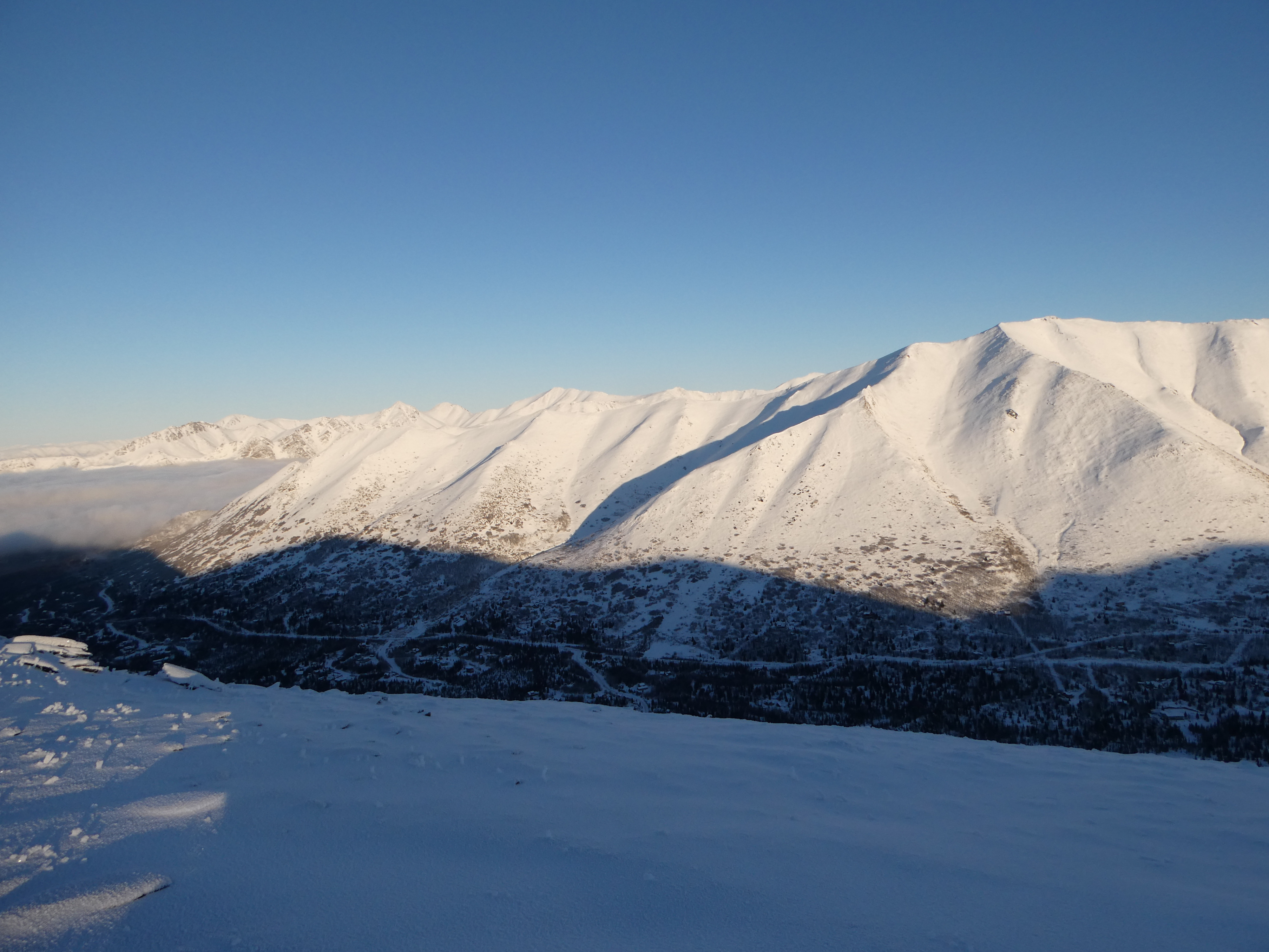
Clear skies with low-lying valley fog below ~1,000'
Snowpack
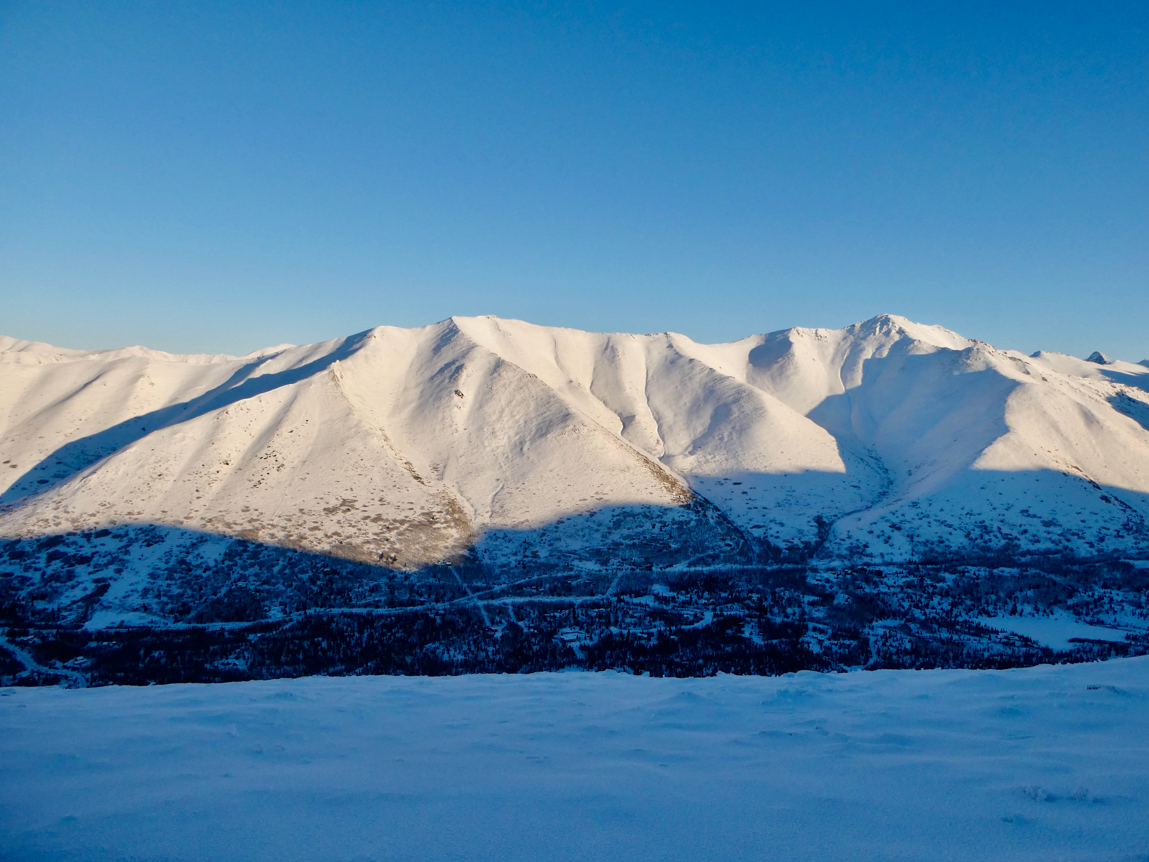
In general, we are looking at a shallow snow-covered wind-affected landscape. Similar to the Peak 3 area, alders, rocks, and grass were either visible or just below the snow surface. We were able to dig several hand pits just off of our skin track and dig a formal pit along the ridge to the east of North Bowl at 3,500'. In both our hand pits and in our full snowpits, we found a hard wind slab layer over a faceted base. We got ECTP28 on the interface between the windslab and the facets. The likelihood of triggering an avalanche on this layer is low, however, if you were to trigger an avalanche right now, that would be the layer you would most likely trigger it on.