
Quick report
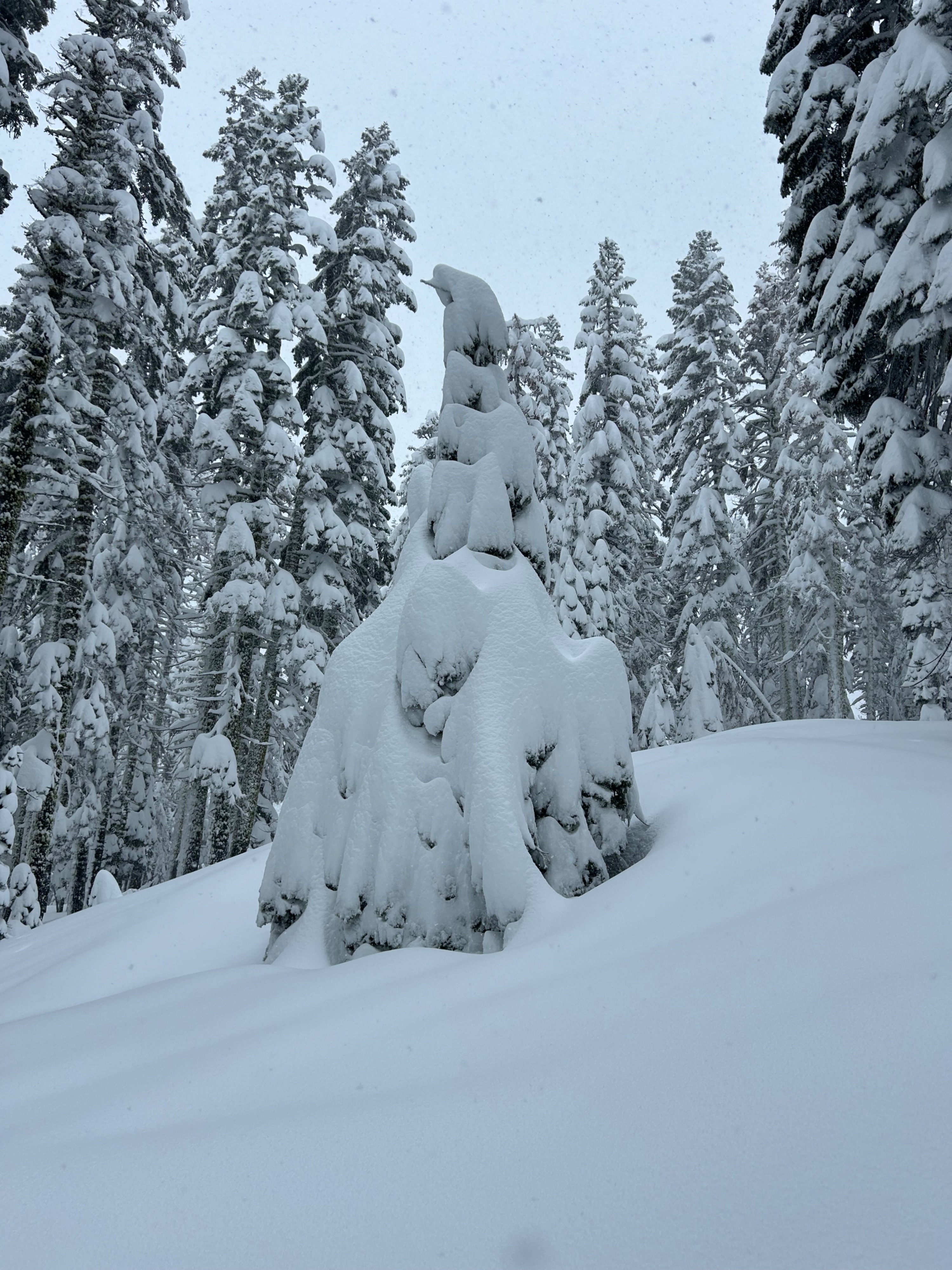
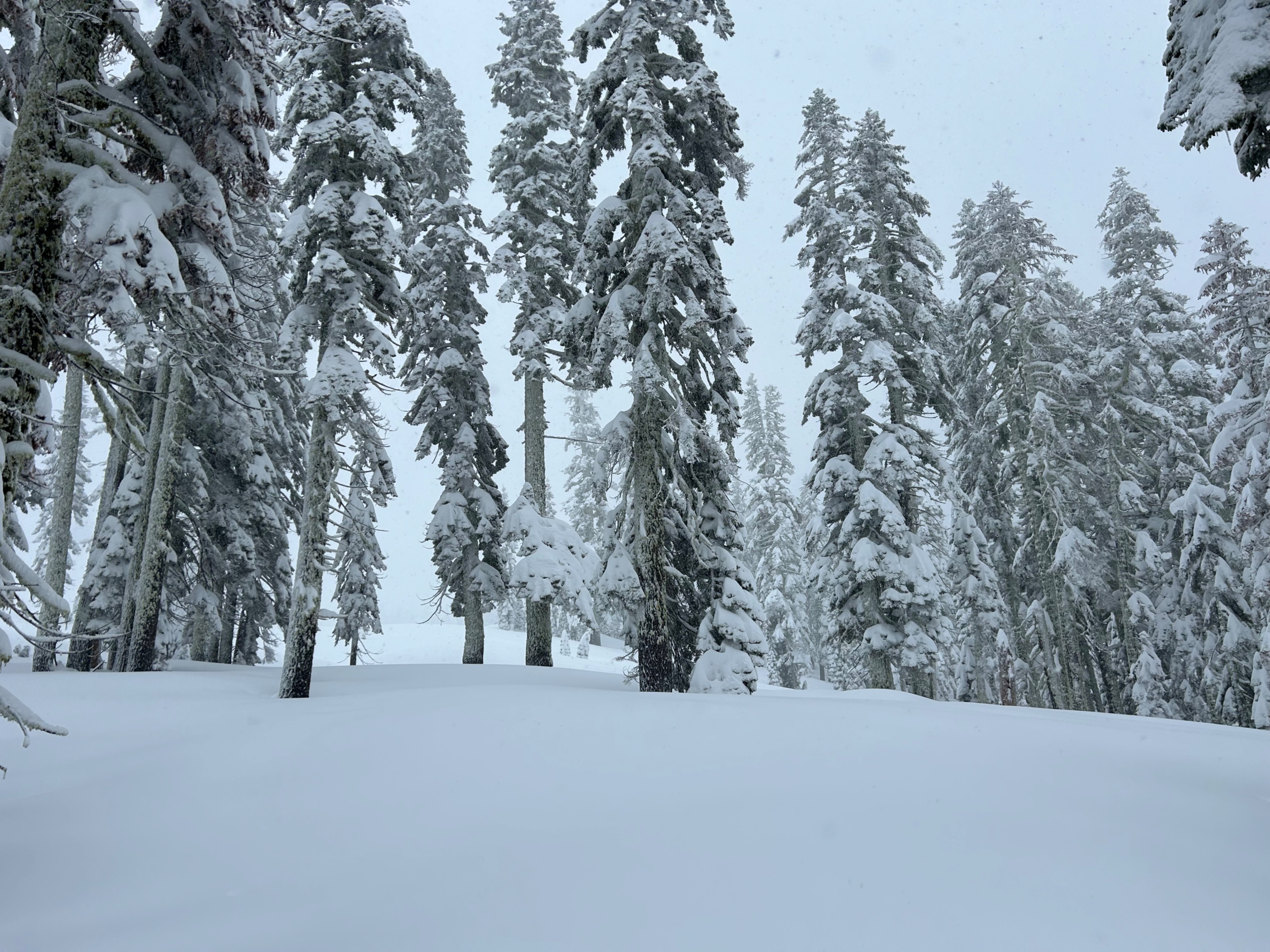
The storm saga continues. Today, my field observation took place below treeline, and for the most part, on flat terrain. I found several inches of new, heavy, thick snow, falling at a rate of one inch per hour. Snow surfaces provided decent support for skinning, but could easily be penetrated to the knee in select spots. Surfaces became more supportable above 6,000 feet, along with the snow quality. Red flags of avalanche danger were not observed. Stomping on convex rollovers and pillows, yielded no shooting cracks or collapses. Partially because it's difficult to penetrate deeply with skis on, and because the snowpack seems to be bonding/settling out in this location.
Weather
- Air Temp
- 27
- Cloud Cover
- obscured
- Wind Loading
- light
- Rain Elevation
- 5,000
- Recent Snowfall
- 13
- Snow Avail For Transport
- moderate amounts
Rain transitioned to snow at 5,000 feet around 10 am. Skies remained obscured, with calm to light southwest winds. Stronger wind speed could be heard overhead. Temperatures sat in the high 20s.
Snowpack
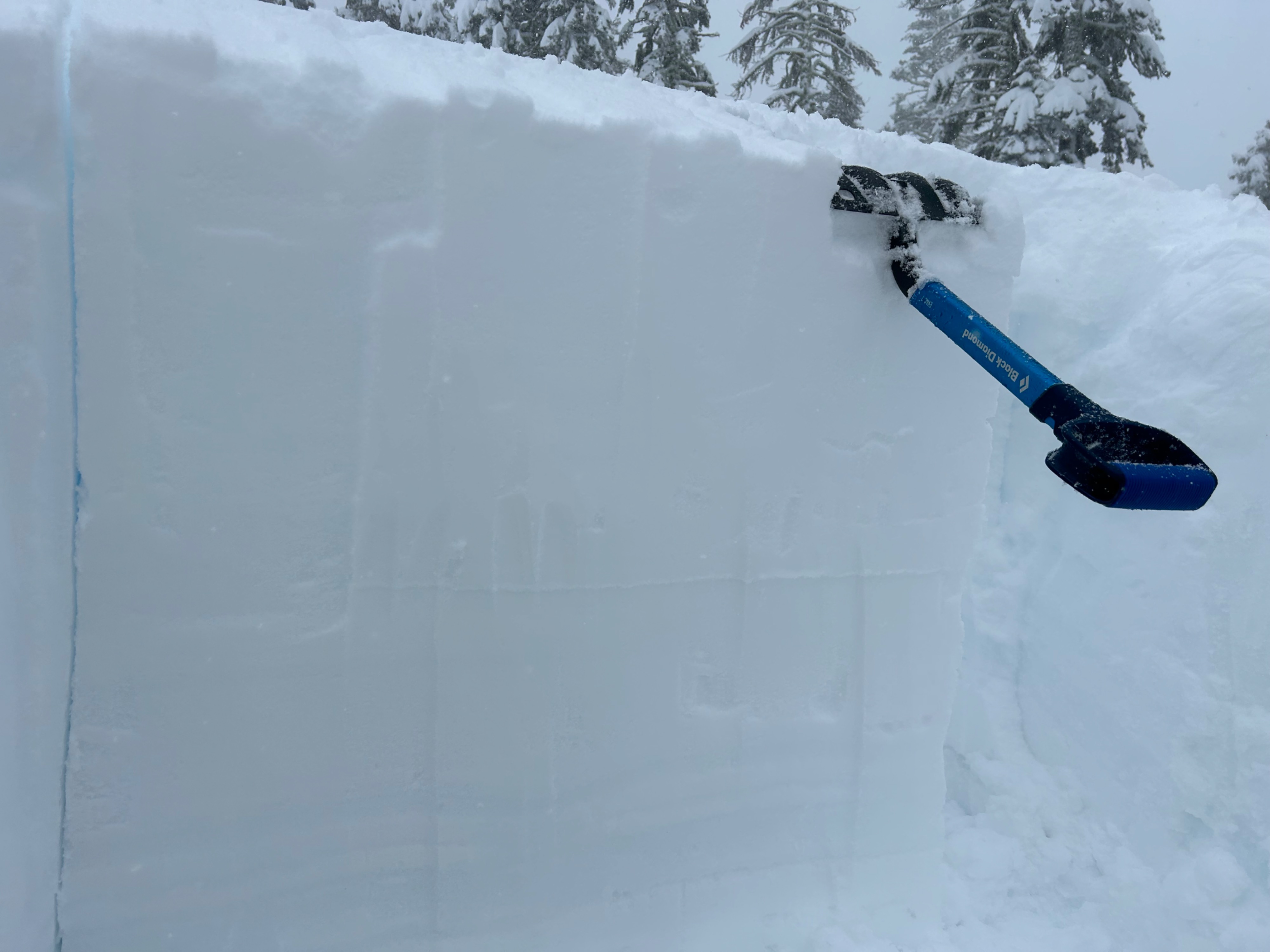
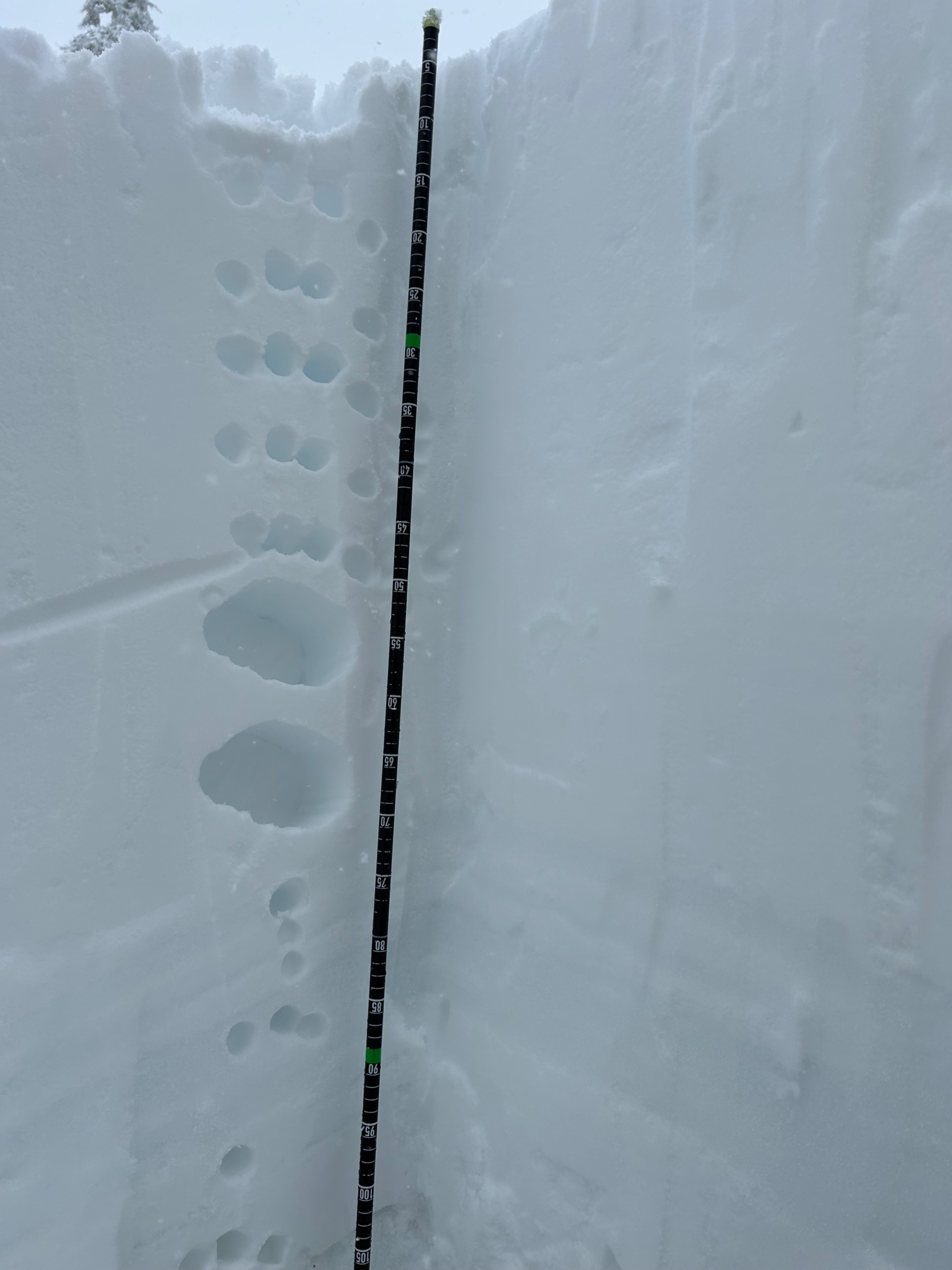
- The snowpack continues to receive more and more snow. A pit dug on a southwest aspect at 6,700 feet, found an upside-down snow structure, with a density change 40 cm down from the surface. This same snowpack structure was observed throughout all the my observed terrain. This interface resulted in one ECT test with full propagation, and two tests without. This points towards a healing and stabilizing trend, though, I wouldn't hang my hat on it for a few days. A storm slab avalanche failing on this interface would be consequential.
- Weak faceted snow grains were present 100 cm down, beneath all the recent storm snow. An ECT did not produce failure on this layer, but I would suspect a PST would. Inferring a low likelihood, high consequence scenario.