
Quick report
- Collapsing
- specific
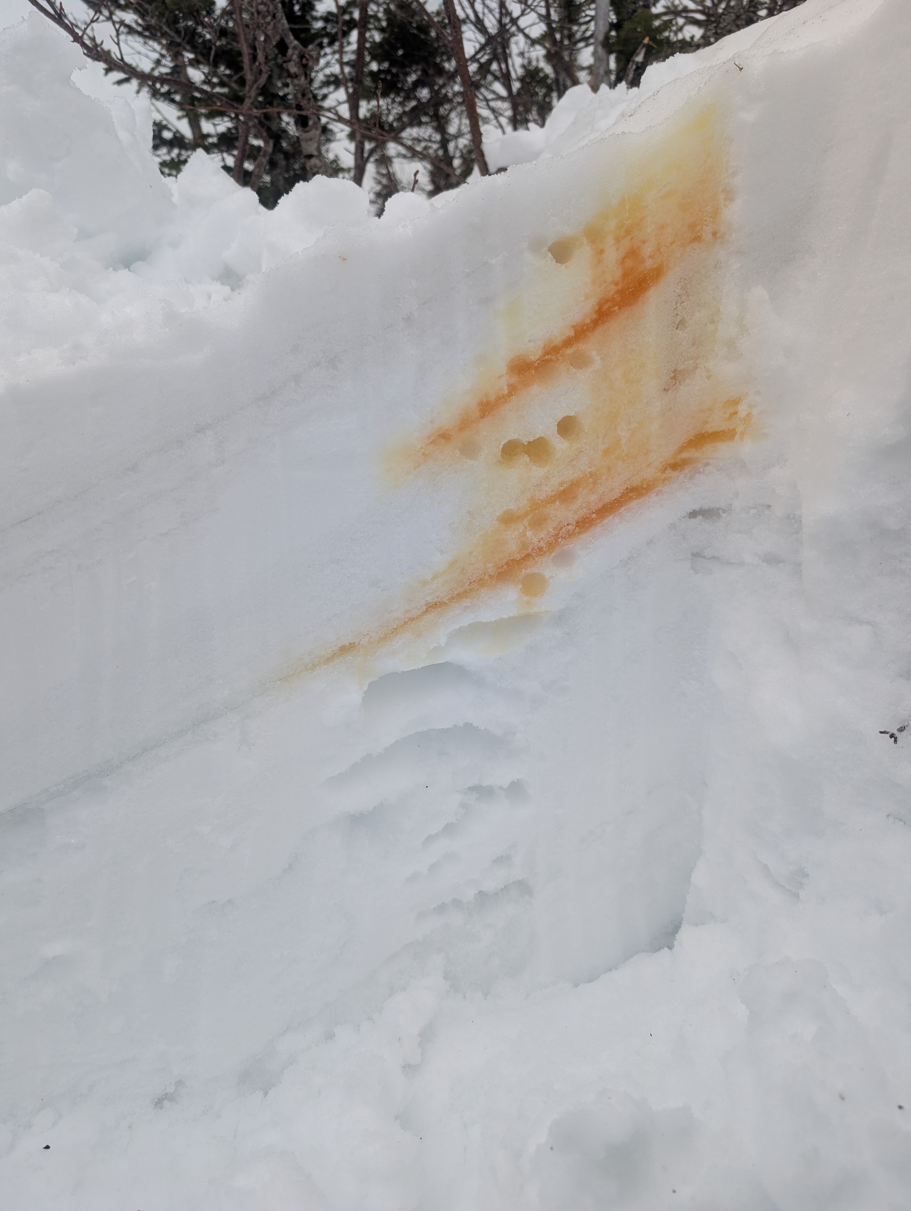
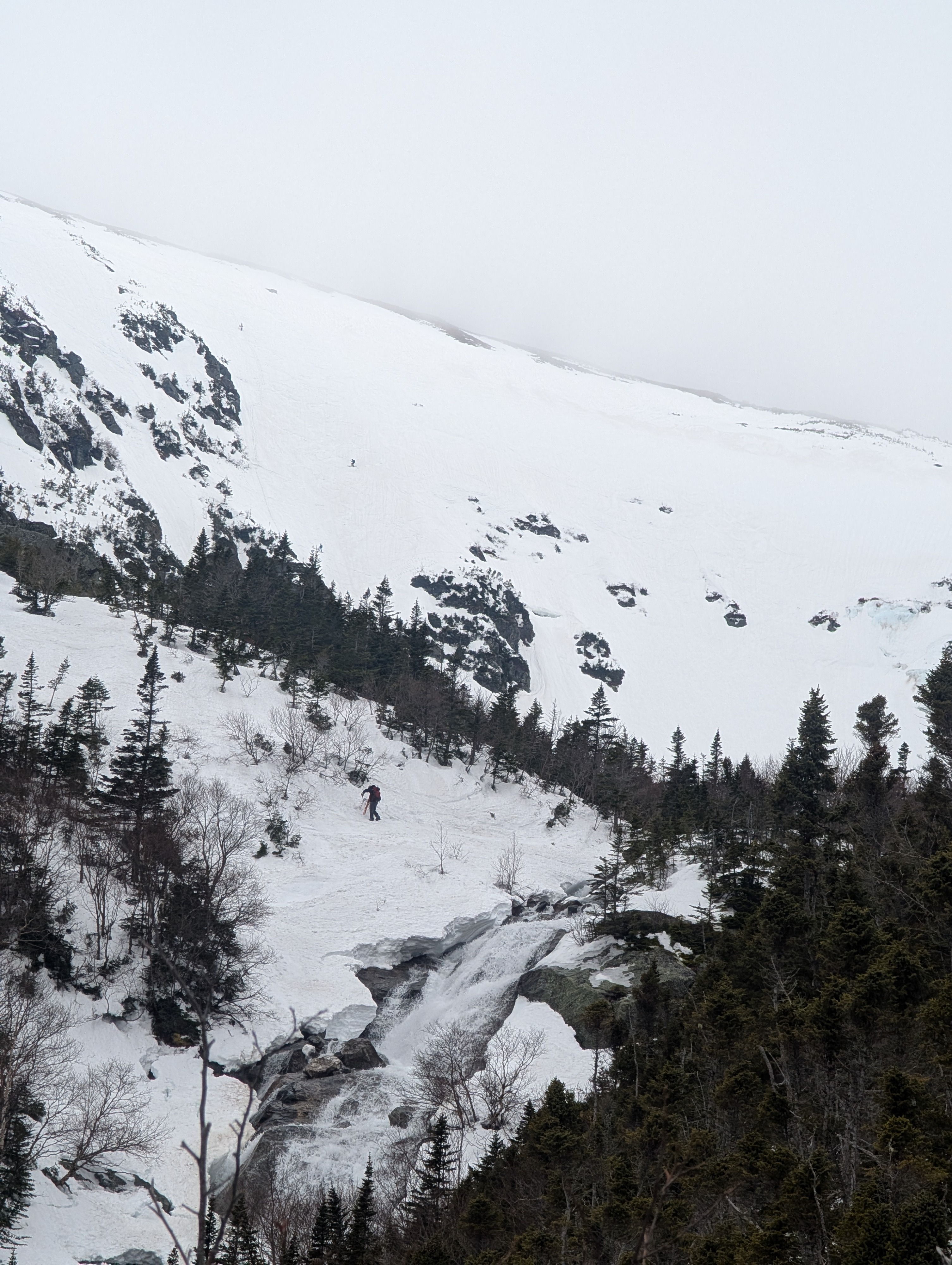
Avalanche Level 1 course. We wanted to assess how the 36 hours of significant warming and 0.5" of rain in the last 24 hours was impacting the snow stability. The river crossing adjacent to the bridge at the bottom of the Sherbie was completely melted out (It was thick and supportable the day prior). The little headwall was completely melted out and the waterfall had a significant amount of water running over it. As we travelled from the TRT trailhead to the floor of the ravine we noted collapsing and full depth boot penetration in any uncompacted snow along the side of the trail. The numerous layers of wind hardened snow in Tuckerman's ravine remained much more supportive and was surprisingly fun skiing. We saw people skiing most of the lines in the bowl. We found areas of less supportive snow around rocks and bushes. We saw cracks forming and evidence of undermined snow around the ice bulges on the headwall and lip. We dug a pit on a SSE aspect at ~ 4500' near the base of lobster claw/ Lions Head Gully. HS was approximately 180cm in several places. We dug down 90cm to assess how the water was moving through the snowpack. We noted 2 thick ice crusts in the top 30cm. We did the "Tang Test" and poured an orange sport drink adjacent to the pit wall to visualize water movement through the snowpack. A majority of the fluid pooled and flowed along both ice crusts (See picture). The fluid did not percolate much below the 2nd ice crust. We found the snow was much drier under the 2nd ice crust than the surface snow. The snow 90cm down was significantly drier than the snow close to the ice crusts.